Gravel Route - Geiersthal to Teisnach via Ochsenberg
A gravel cycling route starting from Geiersthal
Embark on a thrilling gravel adventure from Geiersthal to Teisnach, passing by the rugged Ochsenberg.
Map
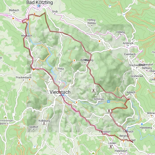
This 55-kilometer gravel route from Geiersthal to Teisnach takes you through diverse landscapes, challenging climbs, and hidden gems. With a total ascent of 1131 meters, this route provides a moderate challenge for gravel enthusiasts. The highlight of the route is the Ochsenberg, a rugged hill with panoramic views of the surrounding countryside.
gravel
55 km
1131 m
Tough
Route profile
Highlights on the route
0 km
0 km
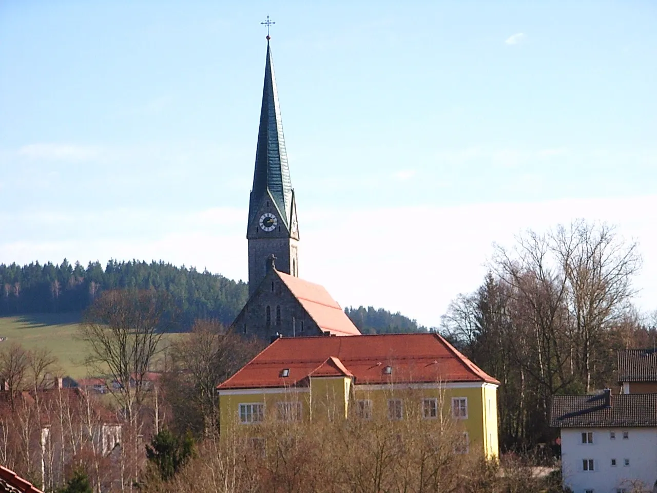
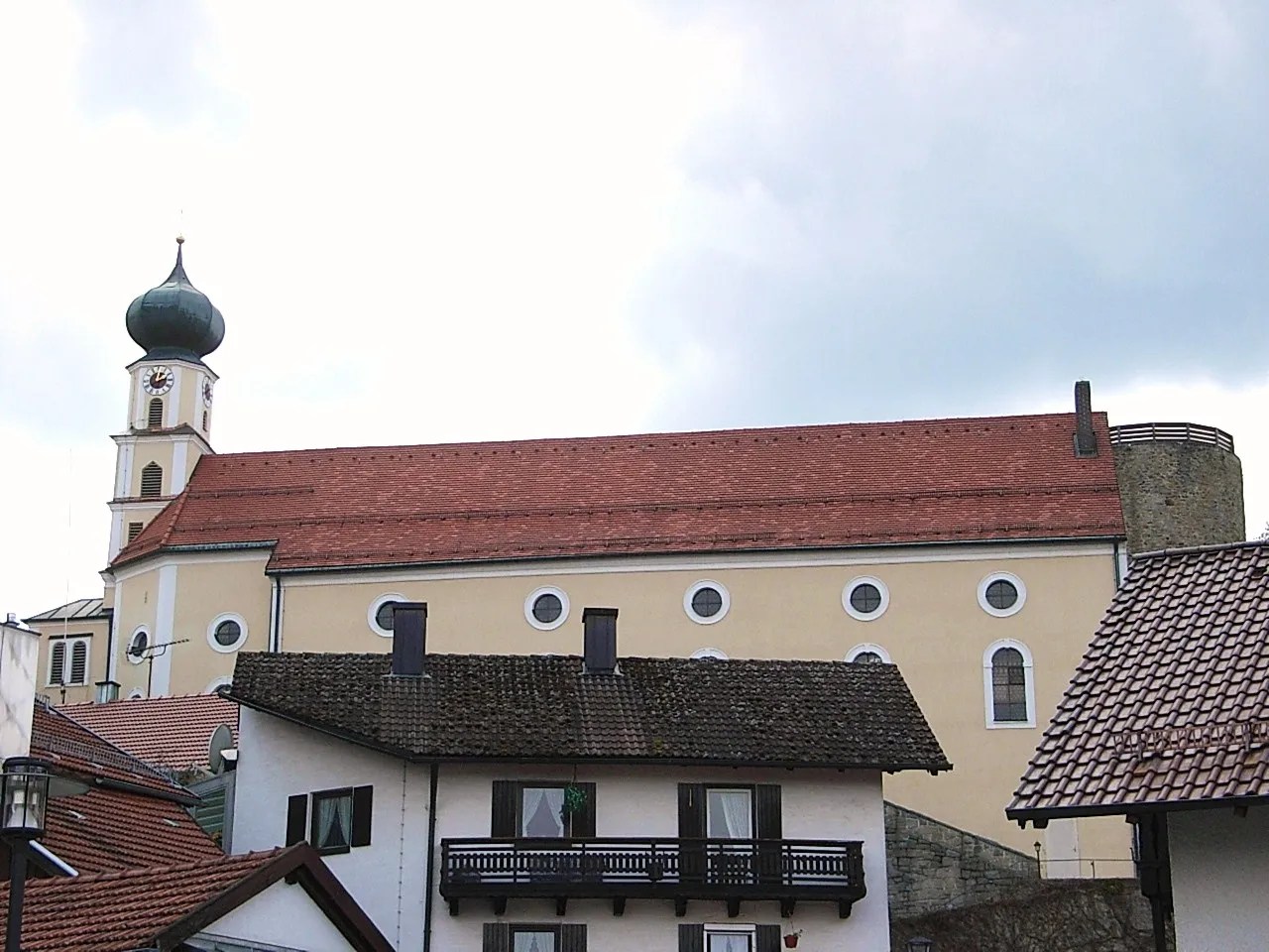
Start: Oed Village centerGeiersthal: Exploring Bavarian Countryside
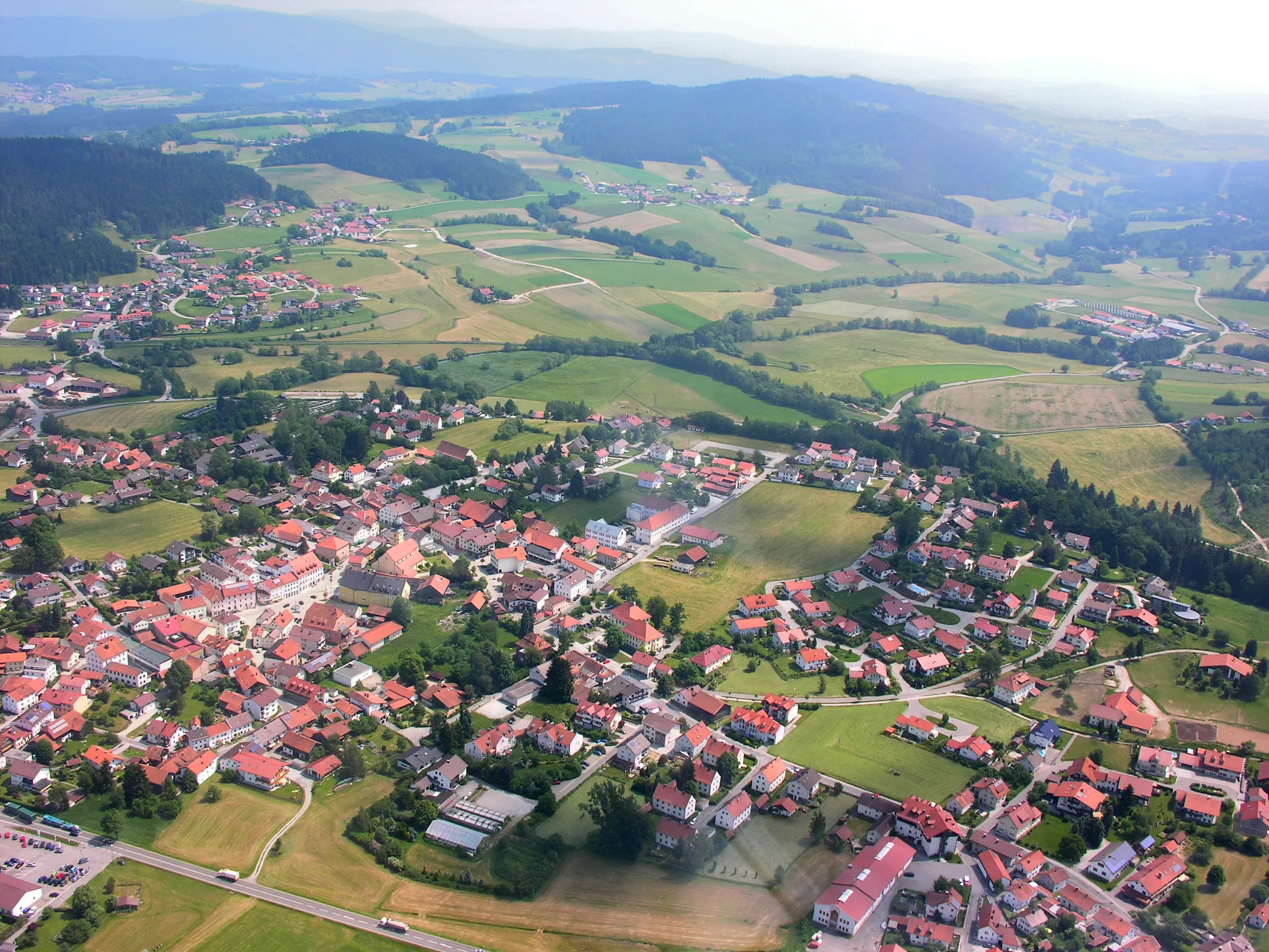
Geiersthal, nestled in Niederbayern, Germany, is a charming locality perfect for road and gravel cycling. The region offers a mix of stunning landscapes, including quaint villages and undulating countryside. While Geiersthal may not be home to famous cycling climbs, it provides ample opportunities for scenic rides through the Bavarian countryside. Cyclists can explore well-maintained roads and paths, taking in the beauty of the region at their own pace. Geiersthal is an excellent destination for cyclists seeking a peaceful and picturesque cycling experience.12 km
12 km
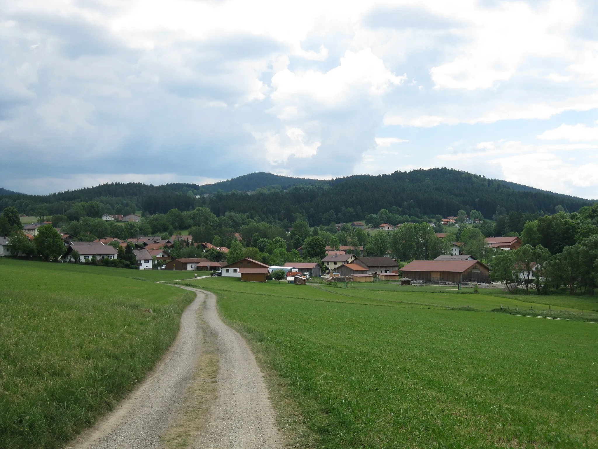
ViechtachTownViechtach is known for its scenic beauty and charming town center that is perfect for a coffee or lunch break.
14 km
14 km
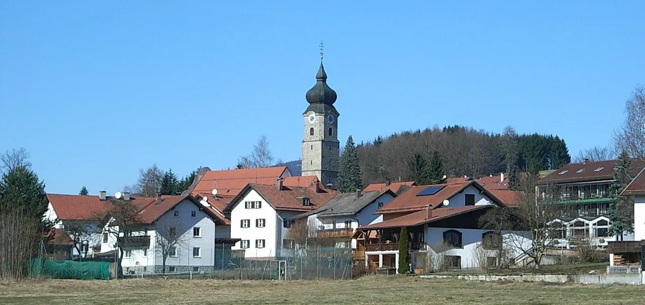
Wacht507 mPeakWacht is a small village with an impressive church and several traditional Bavarian houses.
27 km
27 km
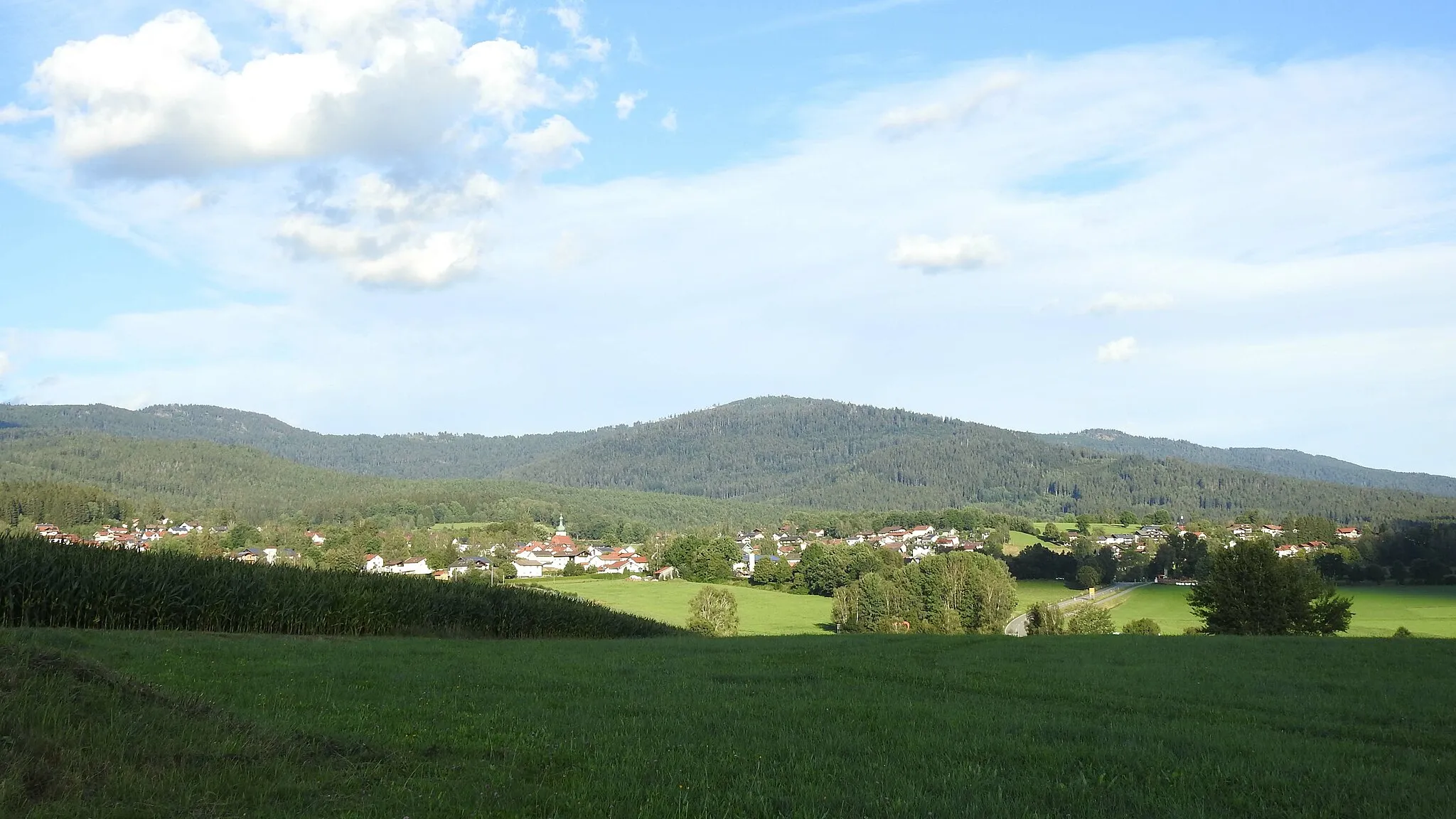
WeißenregenVillageWeißenregen is a quaint village nestled in the picturesque Bayerischer Wald, offering tranquility and stunning nature.
41 km
41 km
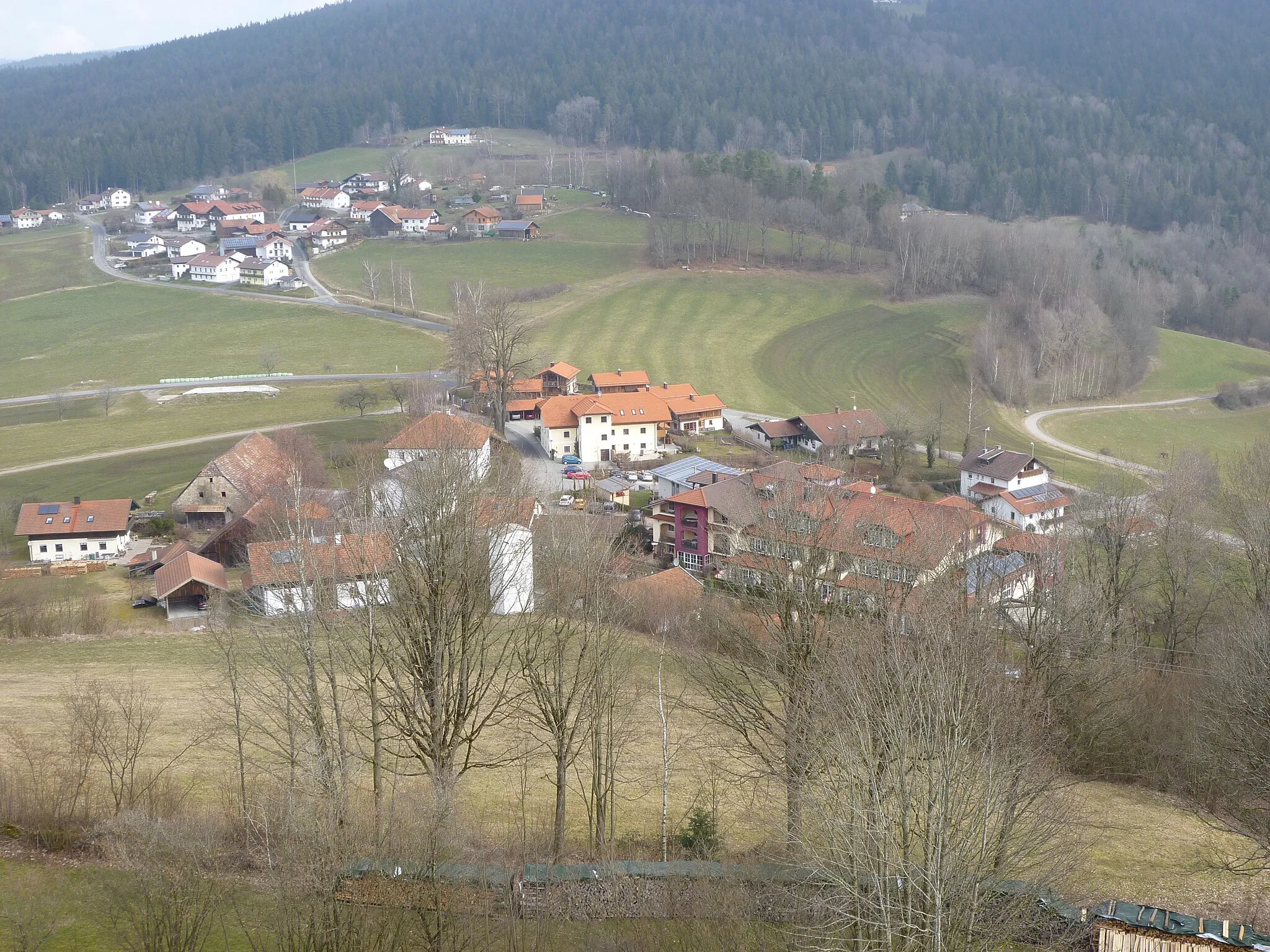
NeunußbergVillageNeunußberg is a historic village with impressive architecture and beautiful views over the countryside.
48 km
48 km
Ochsenberg581 mPeakOchsenberg is a rugged hill worth the climb, offering panoramic views of the surrounding landscape.
54 km
54 km
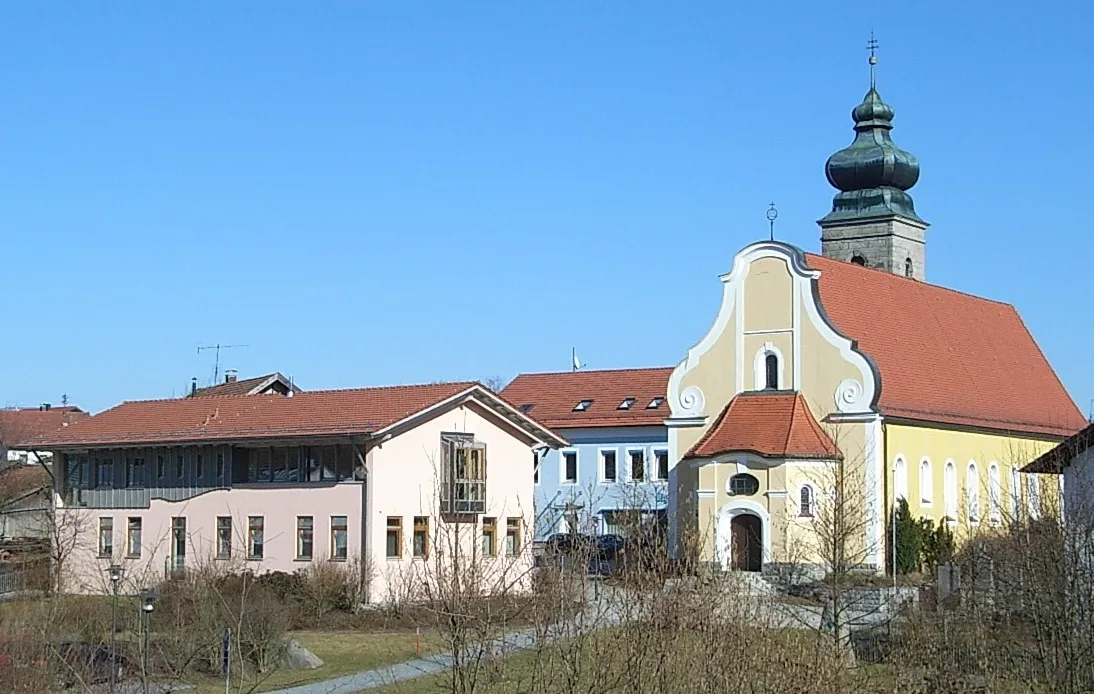
TeisnachVillageTeisnach is a charming town with a mix of traditional Bavarian architecture and modern attractions.
55 km
55 km
Finish: Oed Village centerGeiersthal: Exploring Bavarian Countryside
Cycling routes from Geiersthal:
Road Route - Geiersthal to Patersdorf via Buchberg Geiersberg and Niederwinkling Route Gravel Route - Geiersthal to Berging via Viechtach Gravel Route - Geiersthal to Teisnach via Ochsenberg Gravel Route - Geiersthal to Viechtach via Burgruine Altnußberg Kaikenried and Reinhartsmais Loop Prackenbach and Neunußberg Loop Sankt Hermann and Altnußberg Circuit Grafenwiesen and Všeruby Adventure Gravel Route - Geiersthal to Arnbruck via Burgruine Altnußberg
Cycling routes nearby: