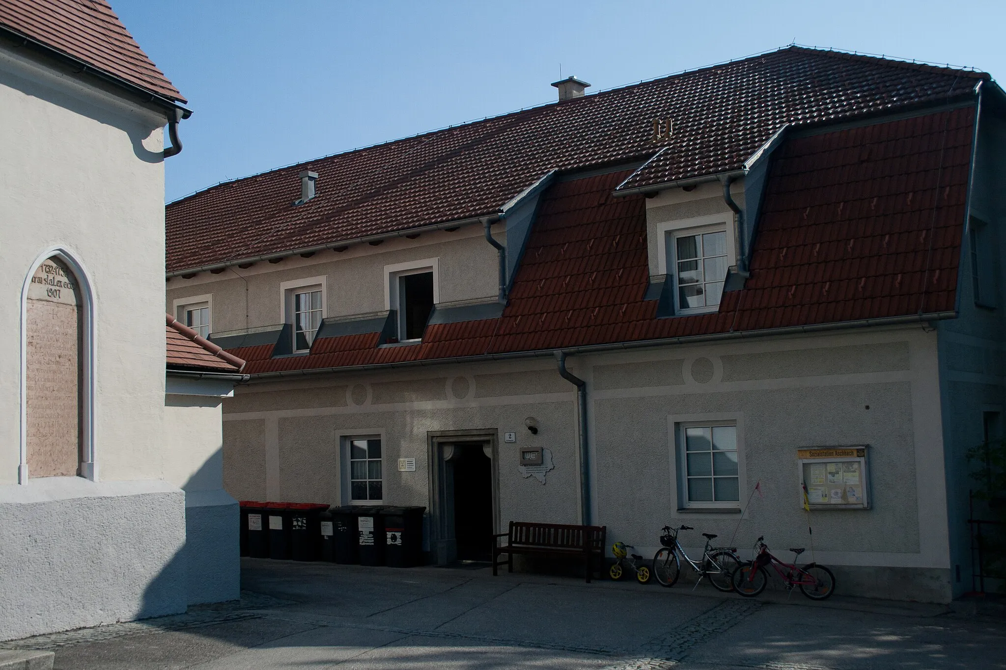
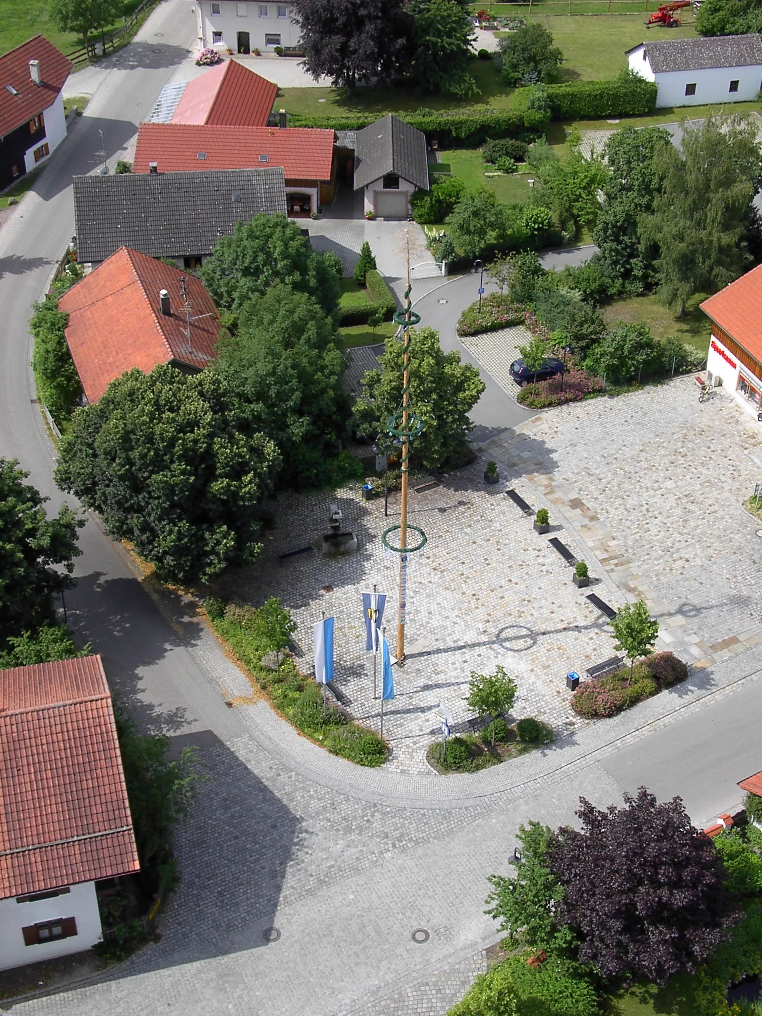
Tranquil village surrounded by scenic landscapes and cycling routes.
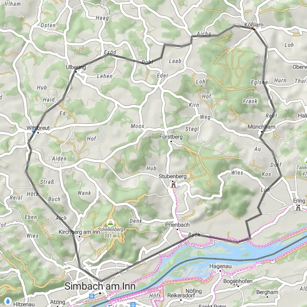
Cycling routes from Kosslarn
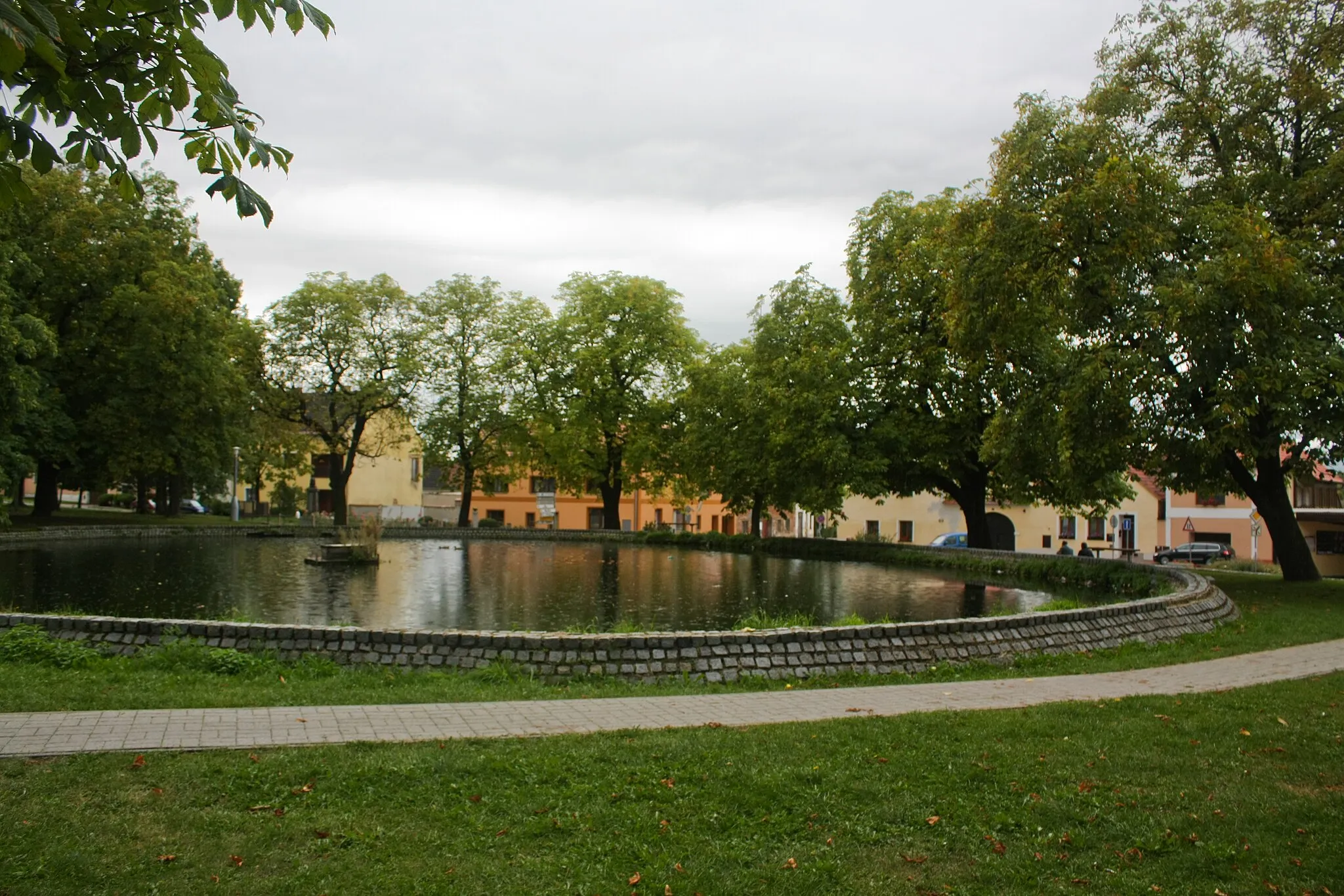
Kößlarn is a small village in Germany, located in the Niederbayern region. From the perspective of a road and gravel cyclist, Kößlarn offers a peaceful and enjoyable cycling experience. The village is surrounded by scenic countryside and quiet roads, perfect for leisurely rides or longer excursions. Nearby, cyclists can explore the famous Danube Cycle Path, a popular long-distance route passing through the region. With its idyllic setting and well-maintained cycling routes, Kößlarn is a great destination for cyclists of all levels.
Pedal through picturesque Niederbayern countryside and explore the quaint towns along the way.
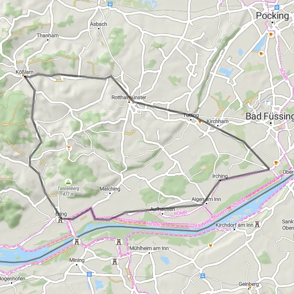
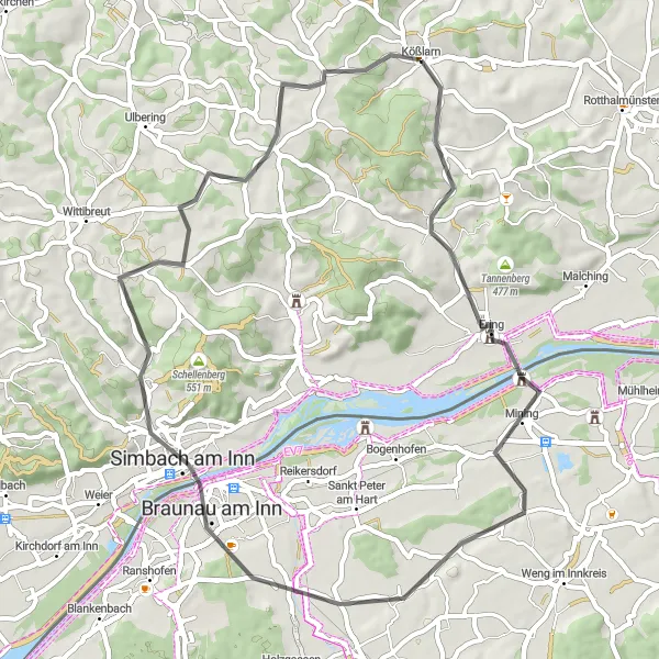
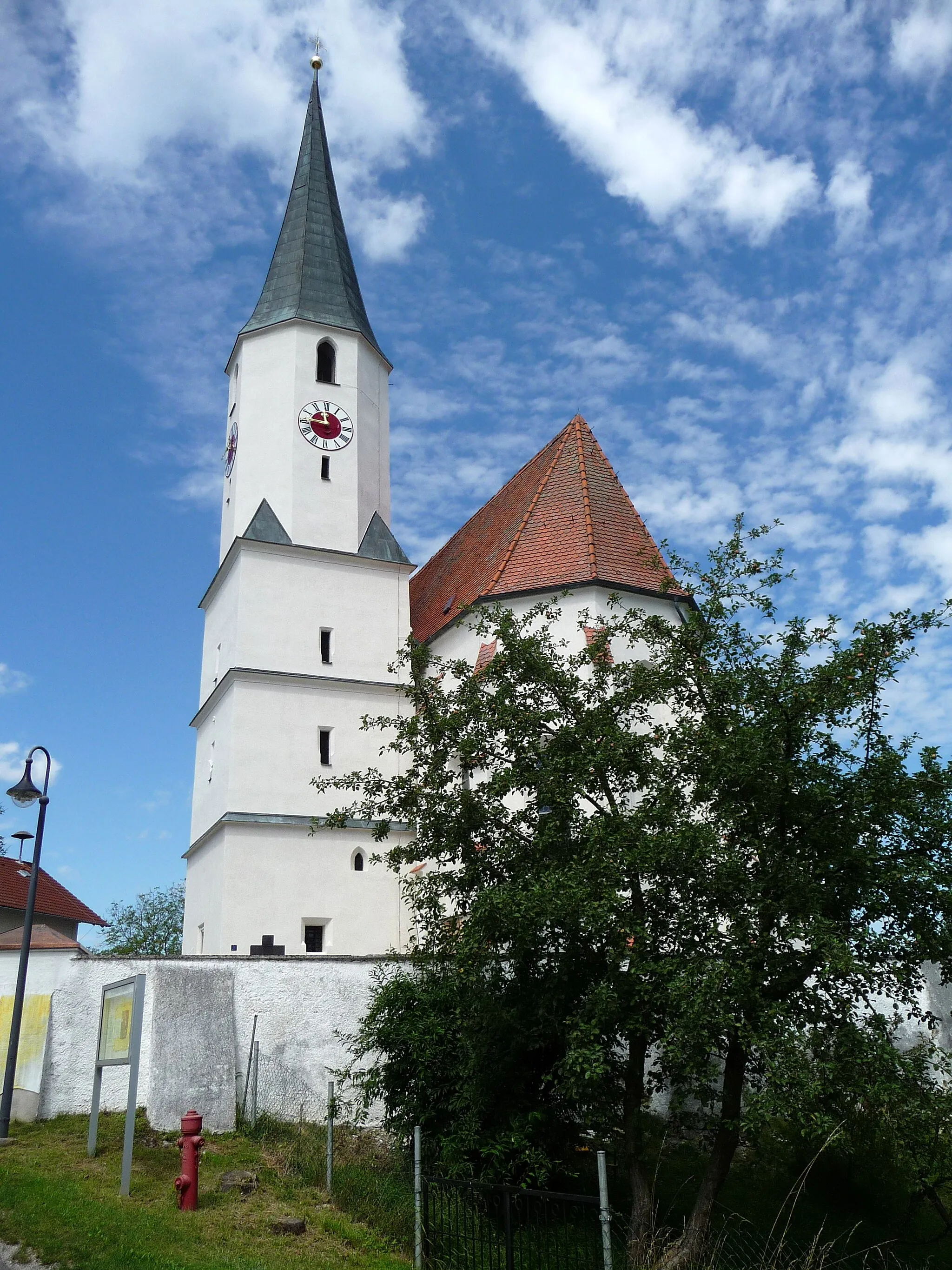
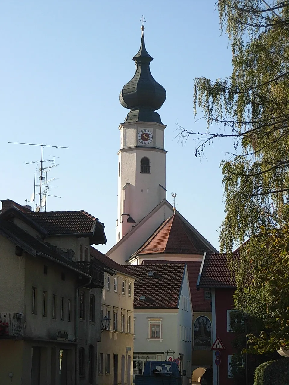
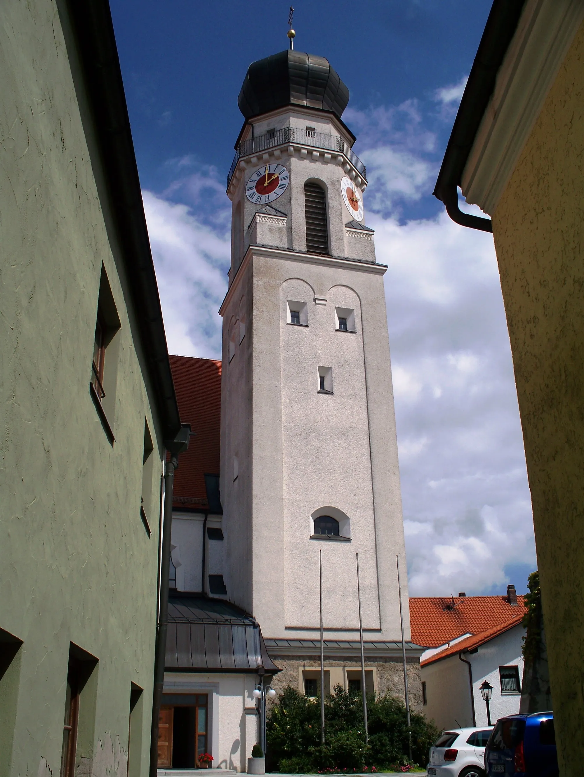
This circular cycling route near Kößlarn, Niederbayern, showcases the region's bucolic beauty and takes you on a journey through charming towns. With a moderate difficulty level, it is well-suited for experienced amateur cyclists. The 39-kilometer route offers enjoyable rolling hills and stunning rural vistas. The highlights of this route include Rotthalmünster, a delightful town known for its well-preserved traditional Bavarian architecture. Take a break here to wander through its narrow streets and discover its historic landmarks. Another highlight is Irching, a scenic village nestled amidst idyllic landscapes. Stop by and experience the serenity of its surroundings. Lastly, the route includes a visit to Ering, a charming town that sits on the banks of the Inn River. Explore its bustling market square and soak in the tranquil atmosphere. Overall, this round-trip cycling route showcases the natural and cultural gems of Niederbayern. Whether it's the rolling hills or the charming towns, this route promises an enjoyable and memorable cycling experience.
Discover the highlights of Ering with this short but rewarding cycling route
The Ering Highlights route is a short and rewarding road cycling route that spans a distance of 51 kilometers and features an ascent of 443 meters. This route is perfect for those who are short on time but still want to experience the beauty of Niederbayern. Along the way, you will pass through the charming town of Ering and enjoy the scenic countryside. Highlights of the route include the picturesque town of Braunau am Inn and the peaceful village of Pischlfing. With its short but rewarding ride, the Ering Highlights route offers a taste of the beauty of the region.
Haarbach Loop
Discover the charming village of Haarbach and enjoy breathtaking views along the way.
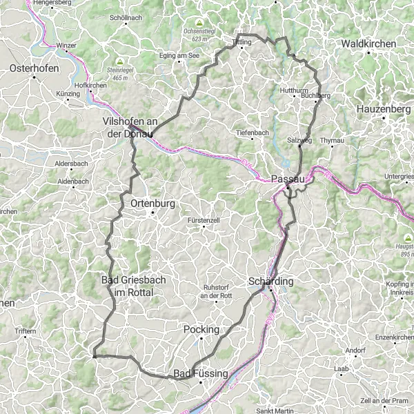
The Haarbach Loop is a scenic cycling route that takes you through the beautiful countryside of Niederbayern, Germany. With a total distance of 143 kilometers and an ascent of 1649 meters, this road bike route offers a challenge for cyclists of all levels. The highlights of the route include the picturesque towns of Windorf and Fürstenstein, as well as the stunning views from the Aussichtsturm Büchlberg and the Klosterkirche Vornbach. The route also passes through the historic town of Passau, known for its beautiful architecture and riverside setting. Overall, the Haarbach Loop offers a mix of challenging climbs, scenic landscapes, and cultural attractions.
Bad Birnbach Loop Gravel Route
Discover the enchanting landscapes on the Bad Birnbach Loop
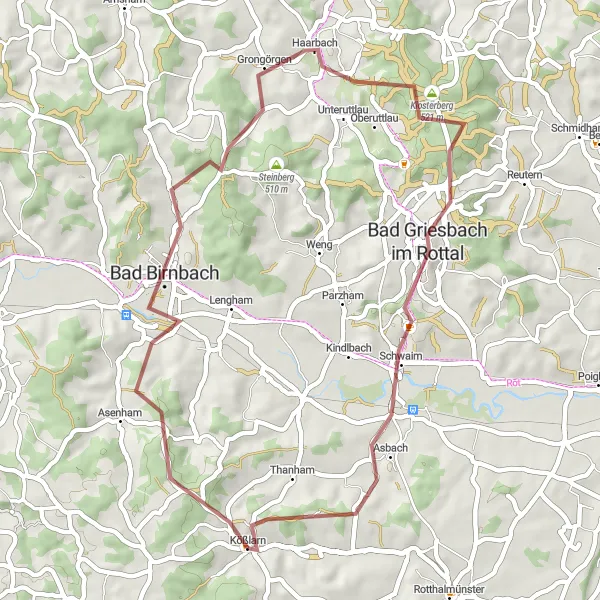
Embark on this 45-kilometer gravel route exploring the enchanting landscapes around Bad Birnbach. The route covers a total ascent of 703 meters, promising a thrilling adventure for gravel biking enthusiasts. Immerse yourself in the natural beauty of the region and explore notable highlights along the way.
Experience the thrill of a road route from Kößlarn to Rotthalmünster
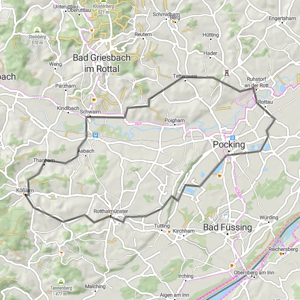
Get your road bike ready for this picturesque 49-kilometer route from Kößlarn to Rotthalmünster. With an ascent of 510 meters, the route offers a moderate challenge suitable for experienced road cyclists. Enjoy scenic landscapes, charming villages, and notable highlights along the way.
Kößlarn to Stelzöd Gravel Route
Explore the stunning gravel route from Kößlarn to Stelzöd
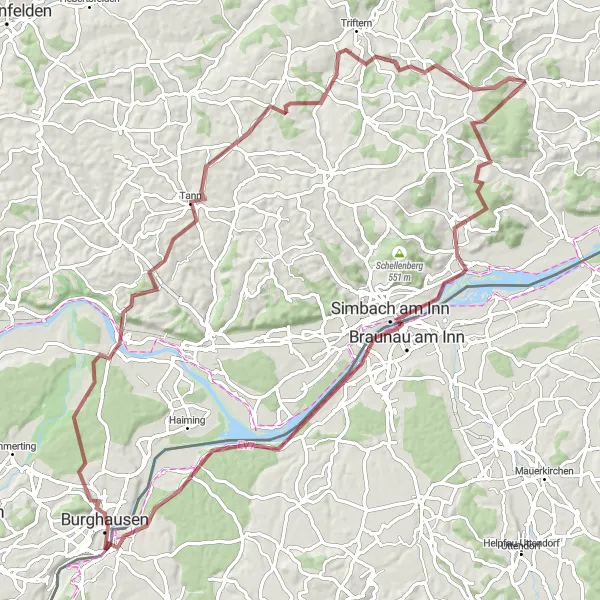
This distinct gravel route takes you from Kößlarn to Stelzöd, covering a distance of 90 kilometers with a total ascent of 1217 meters. The route is suitable for gravel bike enthusiasts looking for a challenging adventure. Prepare yourself for beautiful views, historic highlights, and a thrilling cycling experience.
Experience the thrill of the Wittibreut Adventure, with thrilling climbs and breathtaking scenery.
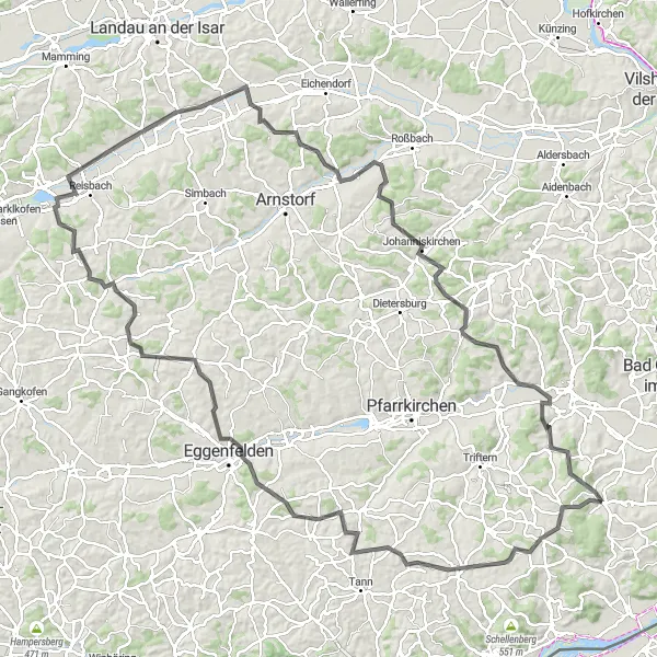
The Wittibreut Adventure is a challenging road cycling route that spans a distance of 133 kilometers and features an ascent of 1593 meters. This route is perfect for those looking for a challenging ride with stunning mountain views. Along the way, you will pass through the charming town of Wittibreut and the historic town of Eggenfelden. Highlights of the route include the picturesque town of Falkenberg and the beautiful scenery of Haberskirchen. As you ride, don't miss the opportunity to visit the stunning Schloss Mariakirchen and enjoy the peaceful Johanniskirchen. With its challenging climbs and epic scenery, the Wittibreut Adventure is a route that will test your cycling skills and provide you with unforgettable memories.
Bad Birnbach Loop Gravel Route
Embark on a thrilling gravel route around Bad Birnbach
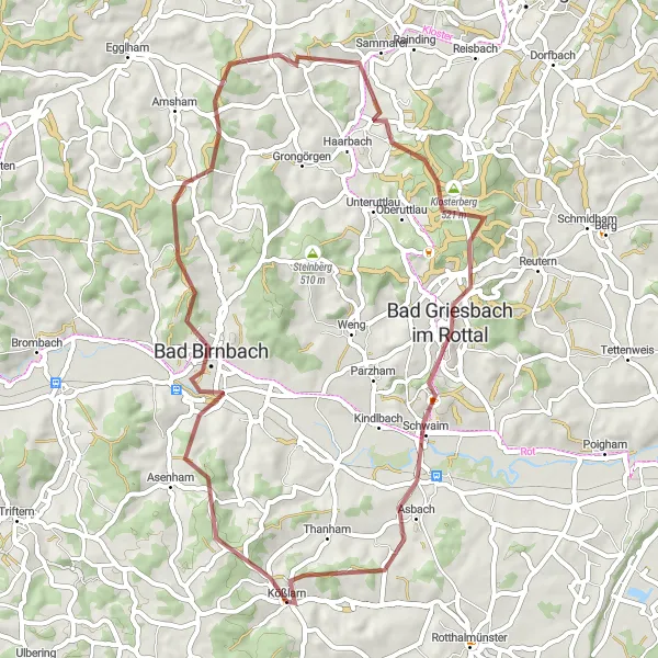
Discover the scenic beauty of the Bad Birnbach region with this 54-kilometer, gravel route. The route includes 794 meters of ascent, providing a moderate challenge for gravel bike enthusiasts. Enjoy breathtaking views, peaceful surroundings, and a chance to explore nearby attractions.
Gravel Adventure
Embark on a gravel adventure through scenic countryside and enjoy stunning views.
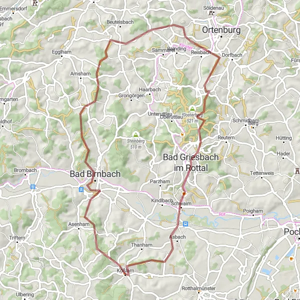
The Gravel Adventure is a 60-kilometer long cycling route perfect for those looking for a unique and off-road experience. With an ascent of 937 meters, this route offers a mix of challenging off-road sections and peaceful countryside paths. Highlights of the route include the picturesque town of Bad Birnbach and its beautiful thermal baths. Enjoy the stunning views from the Schöne Aussicht lookout point, and stop in Peisting to explore the charming village. As you ride, don't miss the opportunity to visit the St. Salvator Monastery, a peaceful place steeped in history. Finish your adventure with a ride through Bad Griesbach im Rottal and start and finish your ride in the quaint village of Kößlarn.
A scenic road route with rolling hills and charming villages.
The Kößlarn Road Loop is a 41-kilometer cycling route that takes you through the picturesque countryside of Niederbayern. The route offers stunning views of rolling hills, beautiful forests, and quaint villages. Whether you are a seasoned cyclist or a recreational rider, this route provides a delightful ride with its gentle ascents and well-maintained roads. Along the way, you will encounter stunning natural landscapes and traditional Bavarian architecture, making it a perfect blend of nature and culture. While not overly challenging, the route offers a great opportunity to explore the charm and beauty of the region.
Cycling routes nearby:


Nearby regions: