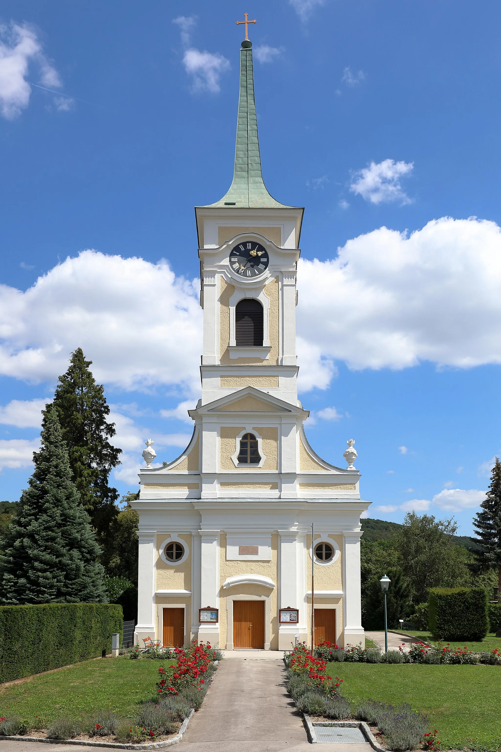
Take a relaxing ride along the Rott Valley Cycle Path in Rotthalmünster.
Cycling routes from Rotthalmunster
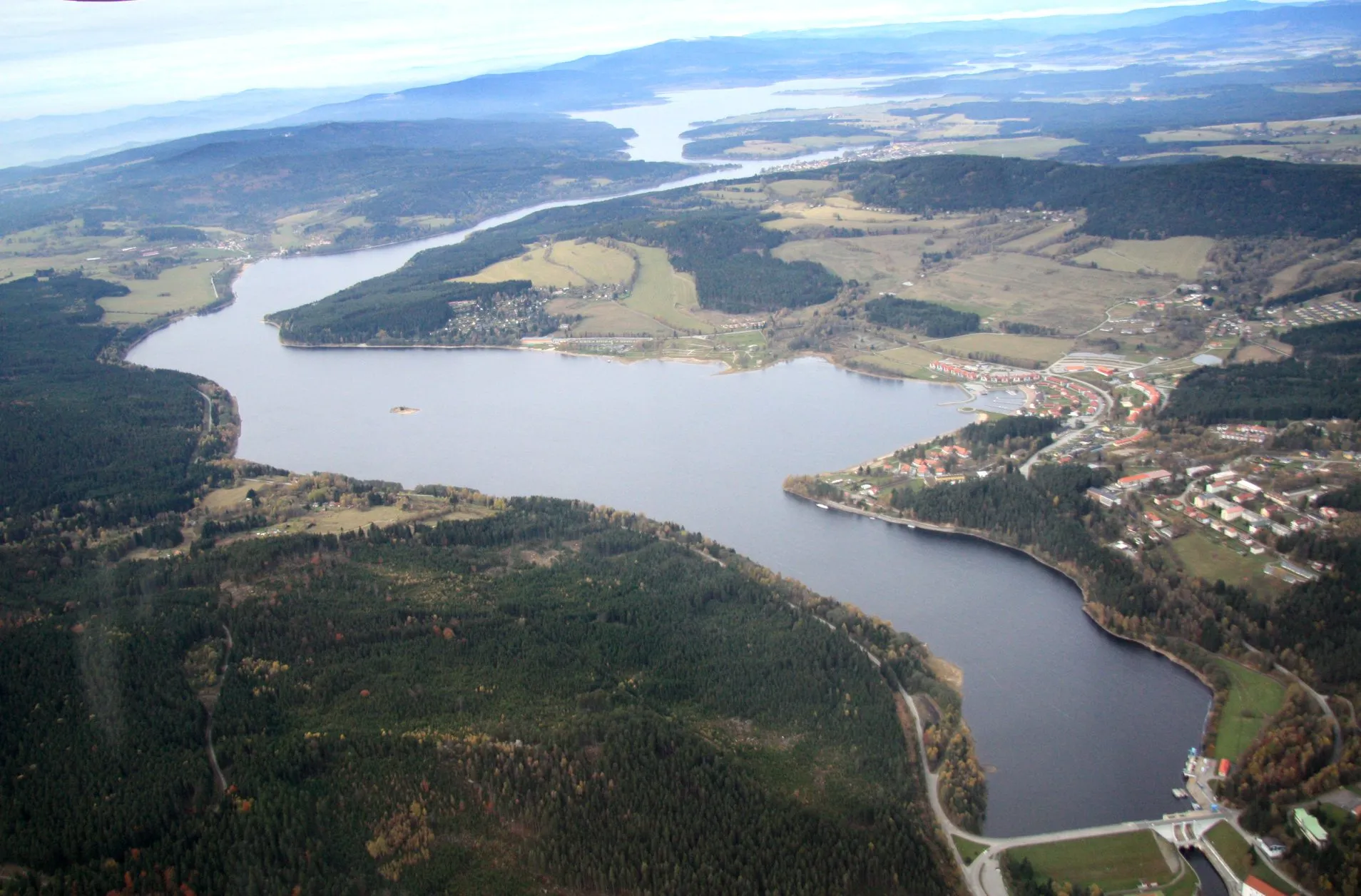
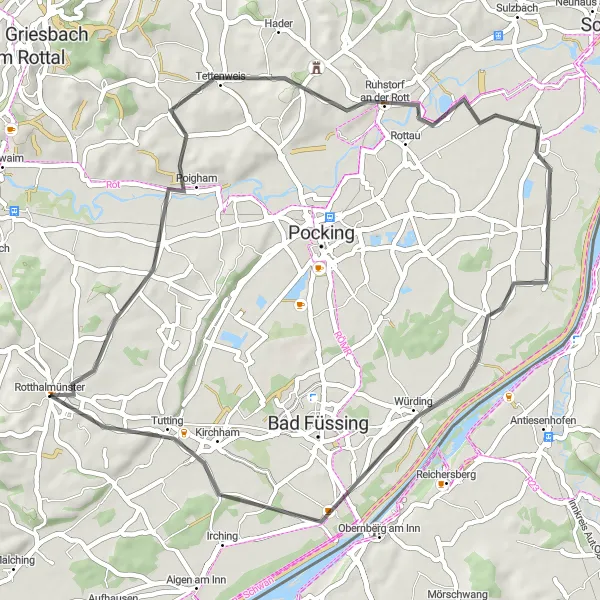
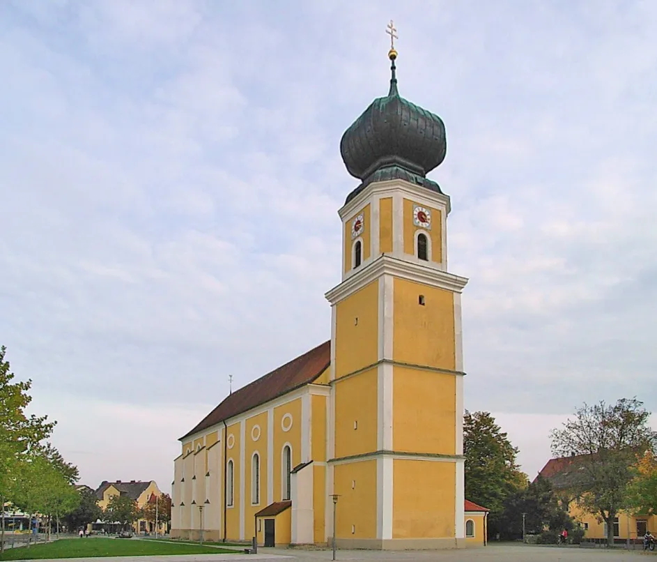
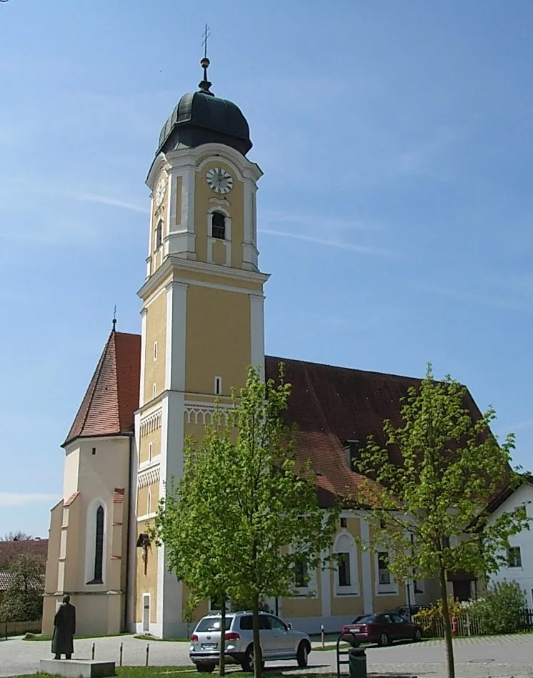
Rotthalmünster, located in Niederbayern, Germany, is a locality that provides decent cycling opportunities for both road and gravel cyclists. The roads in and around Rotthalmünster are generally in good condition, albeit with occasional traffic. The landscape consists of rolling hills, charming villages, and beautiful countryside. One notable cycling spot near Rotthalmünster is the Rott Valley Cycle Path, an approximately 30 km long route that follows the picturesque Rott River. Overall, Rotthalmünster offers pleasant cycling routes suitable for riders of various skill levels.
Enjoy a scenic road cycling route with charming Rottal valley views.
Embark on a 49-kilometer road cycling adventure starting near Rotthalmünster. The route offers spectacular Rottal valley views and a total ascent of 287 meters, making it suitable for riders of moderate fitness levels. Experience the peacefulness of rural Niederbayern as you cycle through quaint villages and past idyllic farmland.
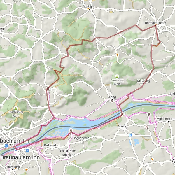
Embark on a gravel adventure through the scenic landscapes of Ering.
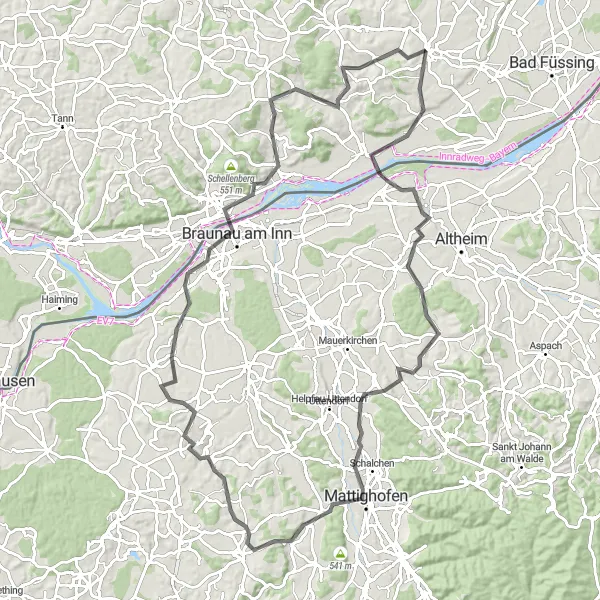
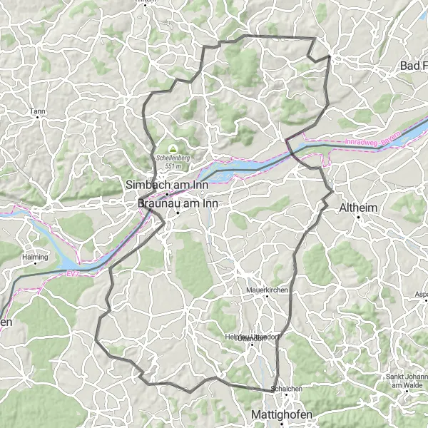
The Ering Gravel Adventure is a 46 km long gravel cycling route that takes you through the beautiful landscapes of Niederbayern. With an ascent of 502 m, this route offers a moderate challenge for gravel enthusiasts. One of the highlights of this route is the town of Ering, known for its quaint charm and picturesque surroundings. Other highlights along the route include Braunau am Inn, Stubenberg, and Hirla, where you can take in the breathtaking views and enjoy the tranquility of nature.
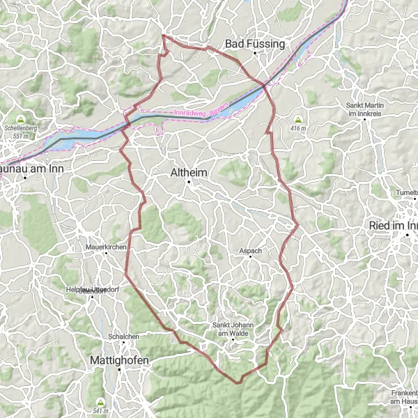
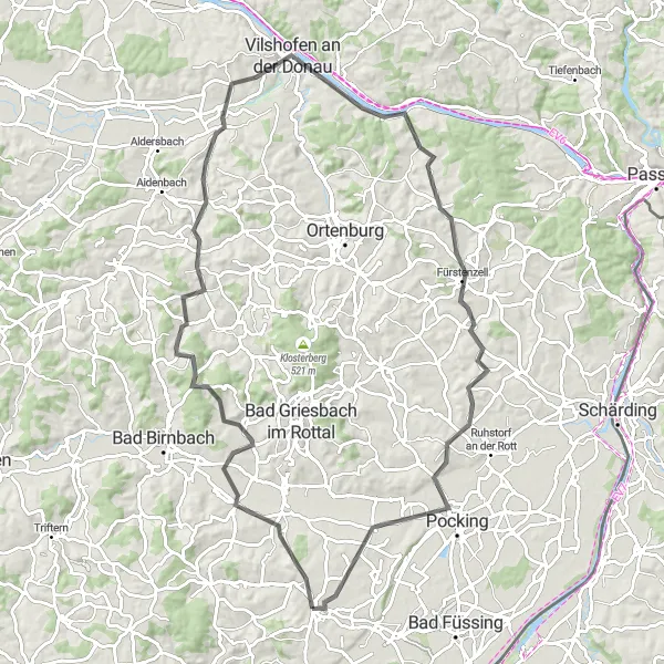
Explore the scenic highlights of the Innkreis region
Embark on a thrilling gravel adventure in Rotthalmünster, exploring the scenic highlights of the Innkreis region. This 85 km route offers a perfect balance between challenging terrain and breathtaking landscapes. Pedal through picturesque towns like Obernberg am Inn and Kirchheim im Innkreis while marveling at the natural beauty of Saustallberg and the tranquil Malching. With 879 meters of ascent, this route guarantees an exciting and invigorating cycling experience.
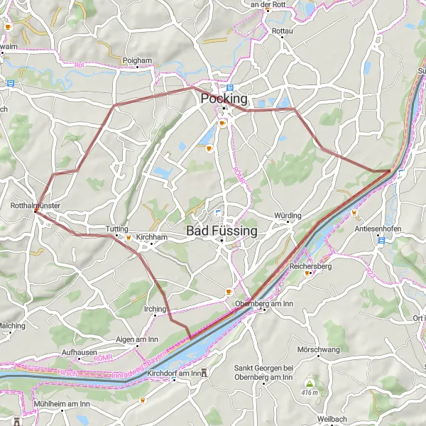
Discover the beautiful countryside near Pocking
Take a scenic ride through the beautiful countryside near Pocking, exploring hidden gems along this 41 km route. Marvel at the stunning landscapes while cycling past the serene Inn River and picturesque Obernberg am Inn. With an ascent of 125 meters, this route is ideal for riders looking for a leisurely biking experience with breathtaking views.
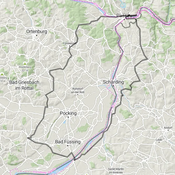
Embark on a challenging road cycling adventure to Fürstenzell
Prepare for a challenging road cycling adventure to Fürstenzell, covering a distance of 88 km with an ascent of 968 meters. This route is perfect for experienced cyclists seeking an exhilarating ride through the Bavarian countryside. Take in the panoramic views as you pass through picturesque towns like Bayerbach an der Rott and Steinberg. Marvel at the impressive Piske Tower and enjoy the scenic beauty of Wurmstorf. Conclude your journey in Pocking, a town known for its wellness facilities and thermal baths.
Conquer challenging terrains en-route to Obernberg am Inn
Embark on a majestic, 102 km road cycling journey to Obernberg am Inn. Following this challenging route with an ascent of 1124 meters, you will ride through the stunning countryside and explore hidden gems along the way. Admire the quaint beauty of Tettenweis and Fürstenzell, nestled amidst charming landscapes. Cycle through Passau, known as the 'City of Three Rivers', and experience the architectural wonders it has to offer. Enjoy the tranquility of Sankt Florian am Inn and marvel at the scenic views from Schardenberg. Conclude your ride in Obernberg am Inn, where centuries-old houses and enchanting narrow streets await.
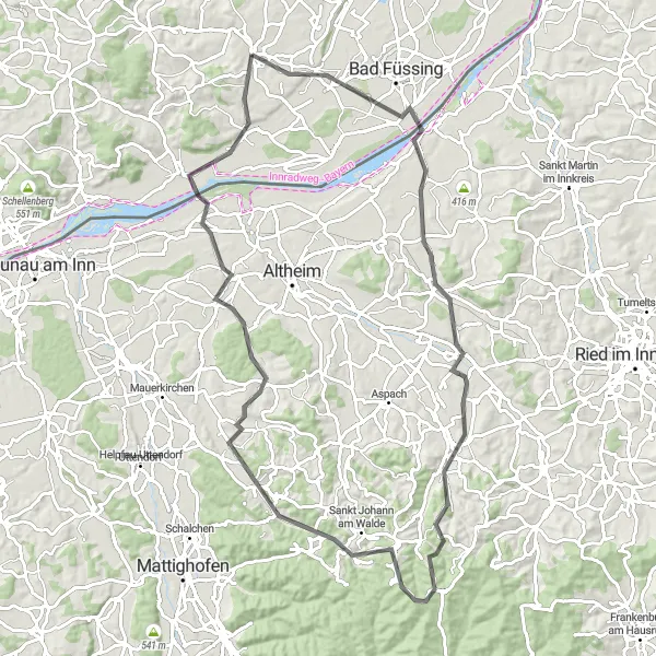
Ering Adventure

Embark on an exhilarating gravel ride through the scenic landscapes surrounding Ering.
Discover the beauty of Ering and its surroundings on this 46-kilometer gravel route. With a total ascent of 501 meters, this challenging route is designed for experienced gravel riders. Experience the thrill of off-road cycling as you navigate through forests, meadows, and quaint Bavarian villages.
Exploring Kirchheim im Innkreis
An adventurous road cycling route to Kirchheim im Innkreis
Embark on an exciting road cycling journey to Kirchheim im Innkreis, covering a distance of 86 km with an ascent of 829 meters. Discover the natural beauty of Saustallberg and enjoy panoramic views from Köpfstätte. Explore the picturesque towns of Sankt Georgen and Weng im Innkreis, each with its own unique charm. Experience the hospitality of Maria Schmolln and immerse yourself in the peacefulness of the village of Ering. Conclude your ride in Kirchheim im Innkreis, known for its well-preserved historic buildings and rich cultural heritage.
Malching Loop
Explore the picturesque landscapes of Malching on this challenging road cycling route.
The Malching Loop is a scenic road cycling route that takes you through the beautiful landscapes of Niederbayern, Germany. With a total distance of 100 km and an ascent of 1026 m, this route offers a challenge for experienced cyclists. The highlight of this route is the town of Malching, where you can take a break and explore its charming streets. Other highlights along the route include Weng im Innkreis, Mattighofen, Simbach am Inn, Stubenberg, and Hirla.
Ranshofen Historical Ride
Cycle through history on the Ranshofen Historical Ride, showcasing the rich cultural heritage of the region.
The Ranshofen Historical Ride is a 96 km long road cycling route that takes you on a journey through the rich history of the region. With an ascent of 888 m, this route offers a challenge for experienced cyclists. Along the way, you will pass through Malching, Weng im Innkreis, Pischelsdorf am Engelbach, Ranshofen, and Popolarn. Each of these places has its unique historical significance, from the medieval castles of Weng im Innkreis to the majestic Ranshofen Castle. This route is a must for history enthusiasts and those seeking to explore the cultural heritage of the region.
Cycling routes nearby:


Nearby regions: