Scenic Road Tour to Niederlindhart
A road cycling route starting from Mallersdorf-Pfaffenberg
Experience the beauty of the countryside on this road cycling tour.
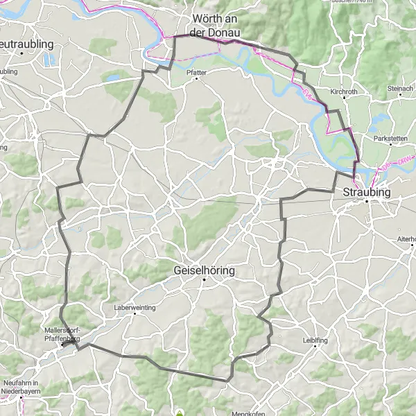
Map
Embark on a scenic road cycling tour from Mallersdorf-Pfaffenberg to Niederlindhart. The route covers a distance of 99km, with 658m of ascent. It is suitable for very well-trained amateur cyclists looking for a picturesque ride.
road
99 km
658 m
Tough
Route profile
Highlights on the route
0 km
0 km
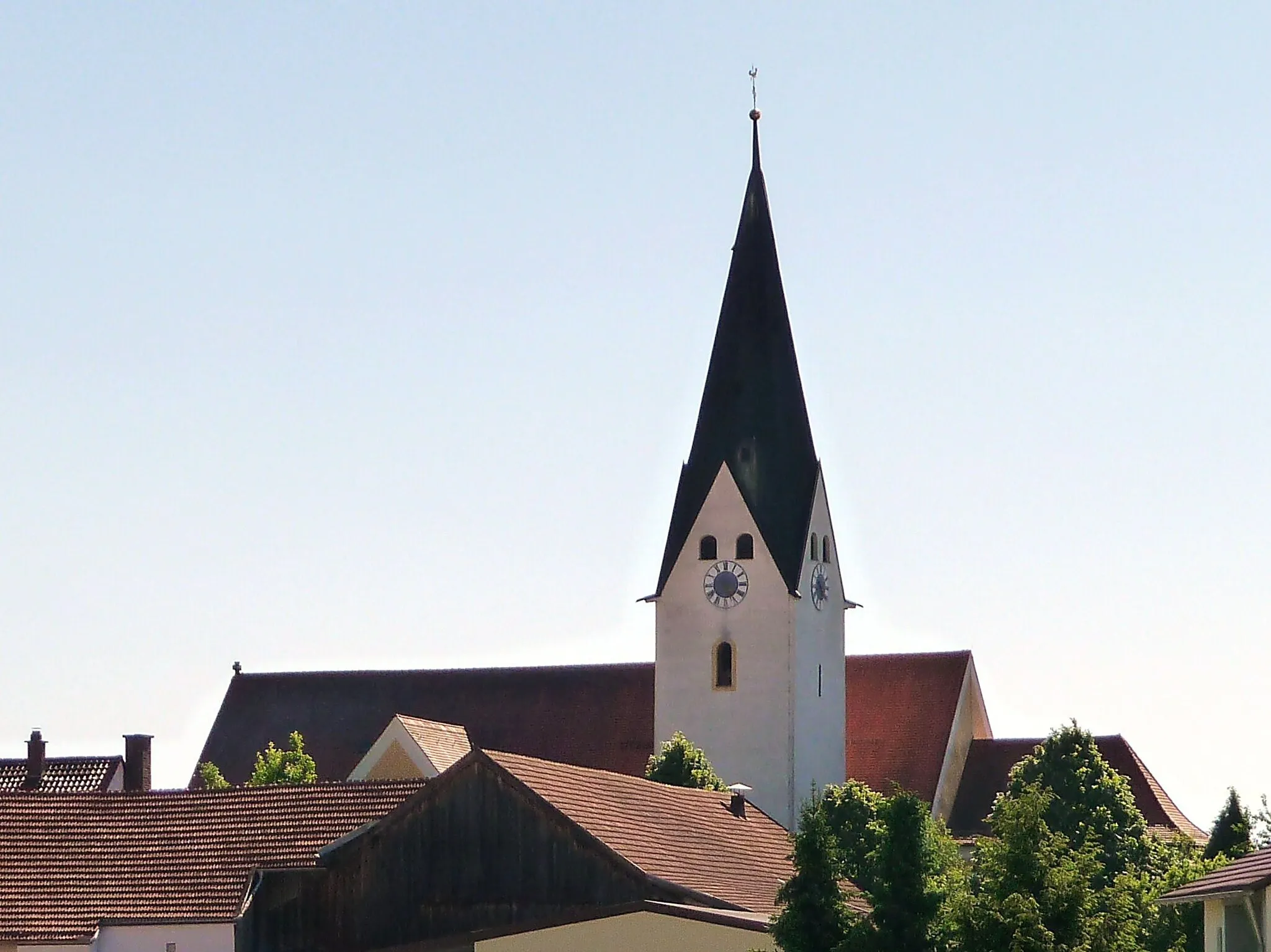
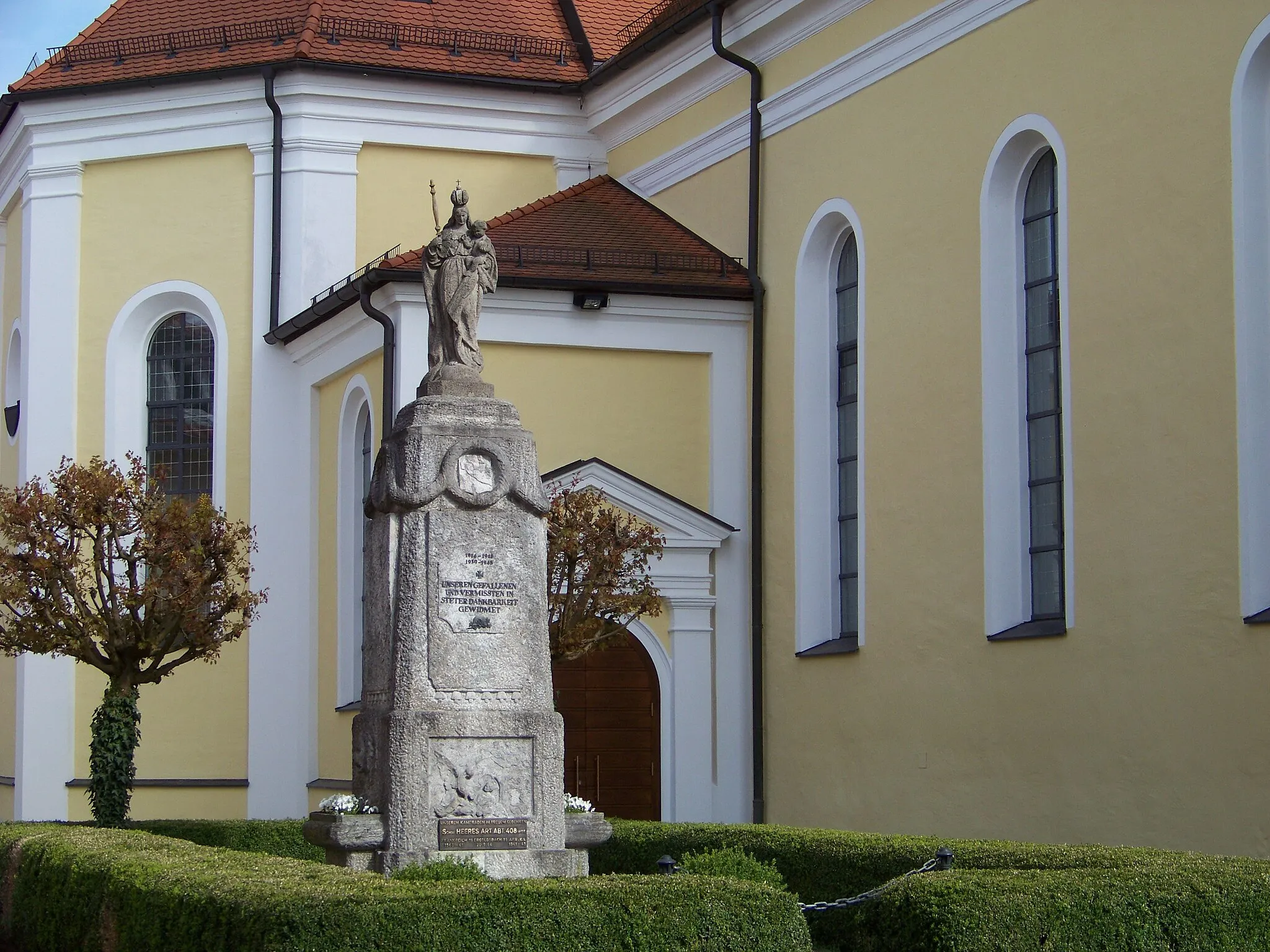
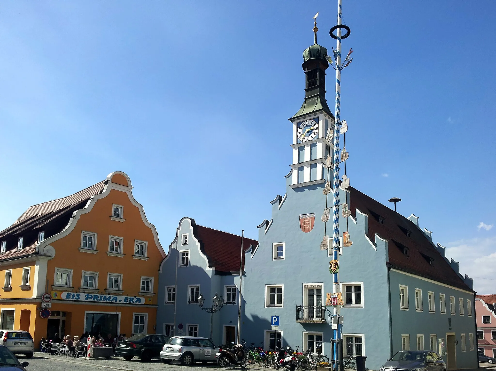
Start: Mallersdorf-Pfaffenberg Village centerMallersdorf-Pfaffenberg: Serene Cycling and Bavarian Charm in Mallersdorf-Pfaffenberg
Mallersdorf-Pfaffenberg, located in Niederbayern, Germany, offers a serene and peaceful cycling experience. Cyclists can explore the rolling hills and lush green landscapes of this picturesque region. The routes largely consist of quiet country roads, making it an ideal destination for road and gravel cyclists. Nearby, cyclists can tackle the famous climb of Wallfahrtskirche Marienberg, a challenging ascent that rewards with panoramic views. Mallersdorf-Pfaffenberg is also known for its historic monastery and charming Bavarian villages, making it a perfect blend of natural beauty and cultural attractions.0 km
0 km
Mallersdorf-PfaffenbergVillageStart the tour in Mallersdorf-Pfaffenberg, a charming town famous for its historical buildings and idyllic setting.
11 km
11 km
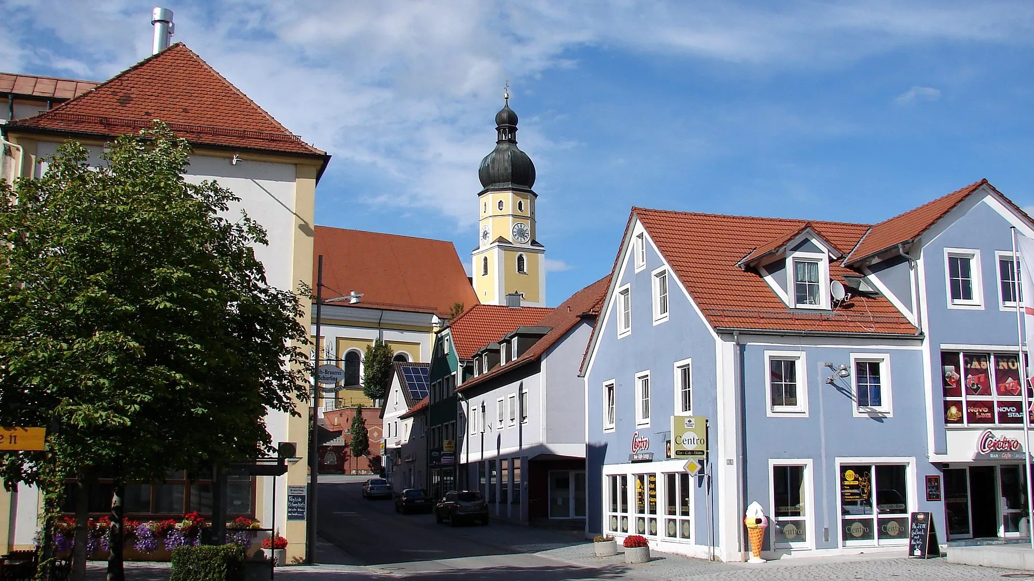
PfakofenVillagePass through Pfakofen, a quaint village known for its well-preserved medieval buildings.
18 km
18 km
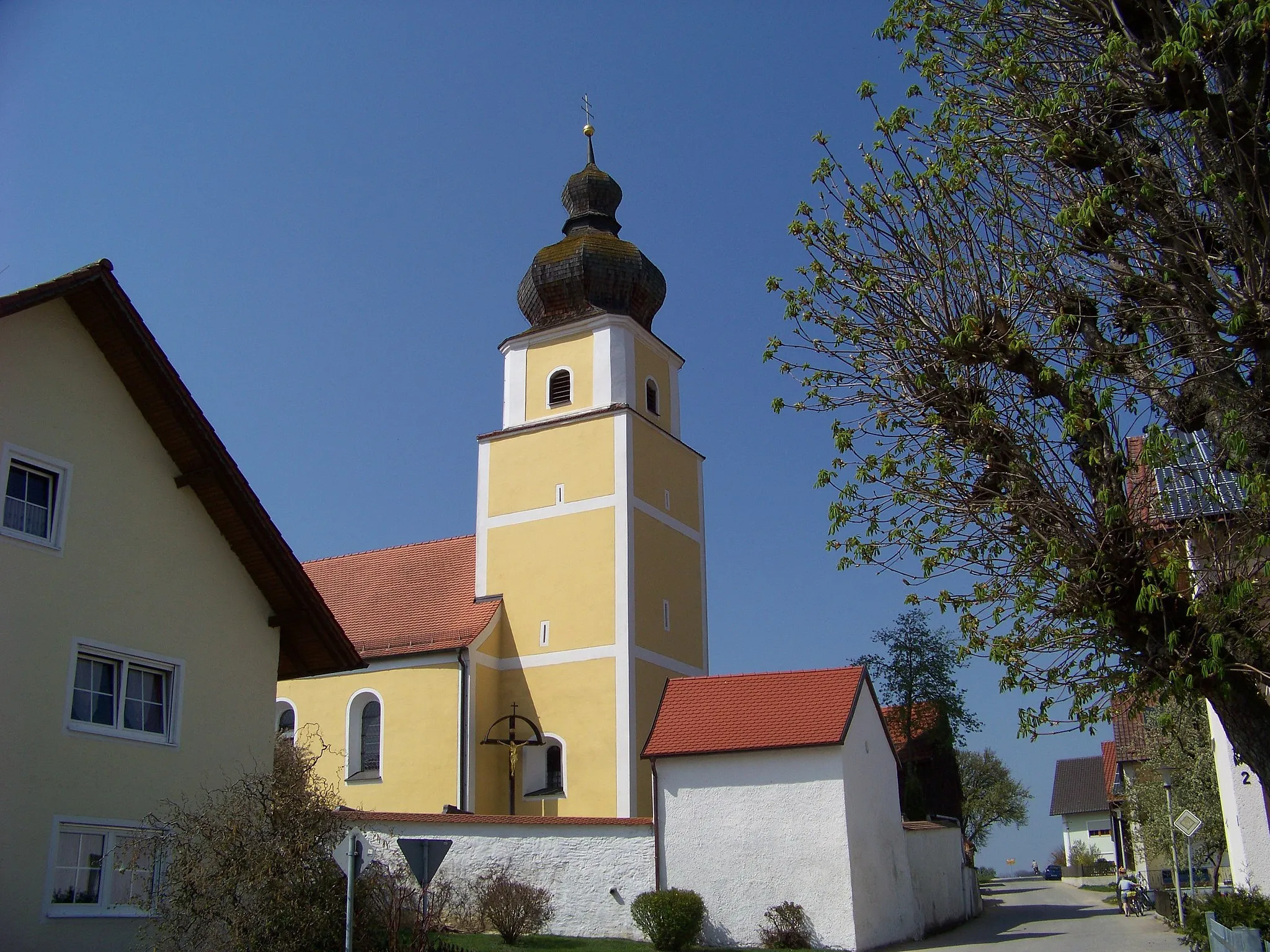
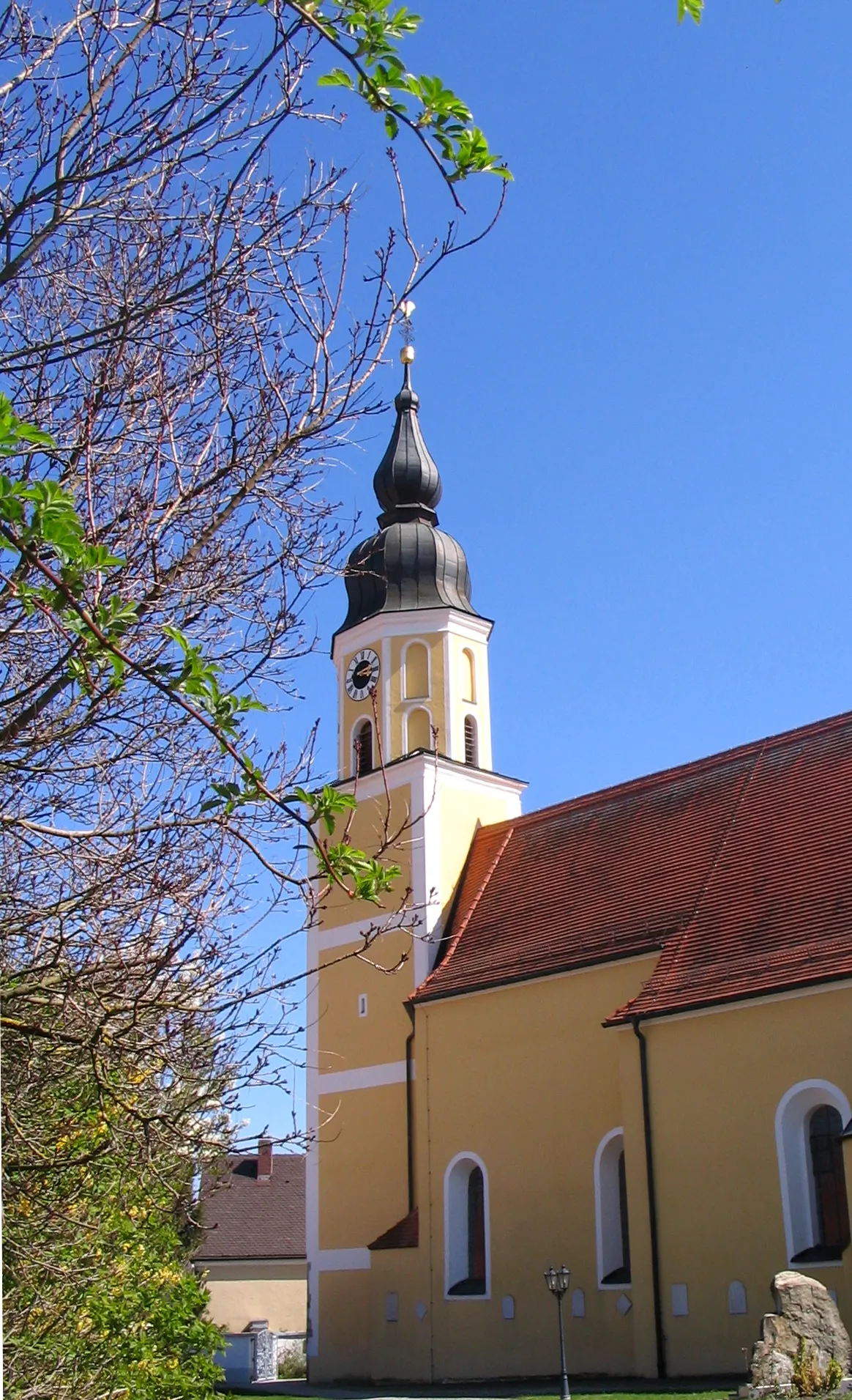
LangenerlingVillageAdmire Langenerling's beautiful countryside and traditional Bavarian architecture.
36 km
36 km
Schloßberg380 mPeakReach the top of Schloßberg and enjoy panoramic views of the surrounding landscape.
36 km
36 km
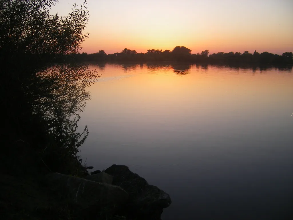
Wörth an der DonauTownArrive at Wörth an der Donau, a charming town situated on the banks of the Danube river.
47 km
47 km
OberzeitldornVillagePass through Oberzeitldorn, a picturesque village with traditional Bavarian houses and quaint streets.
55 km
55 km
SossauSub-urbVisit Sossau and take in the peaceful atmosphere of this idyllic countryside setting.
69 km
69 km
OberharthausenVillageExplore Oberharthausen, a scenic village surrounded by lush greenery and fields.
88 km
88 km
Teufelsberg457 mPeakChallenge yourself to climb up Teufelsberg, a legendary hill known for its demanding ascent.
88 km
88 km
NeuhofenVillagePass through Neuhofen and enjoy the calm and tranquility of this rural area.
97 km
97 km
NiederlindhartHamletFinish the tour in Niederlindhart, a peaceful village with scenic views and traditional charm.
99 km
99 km
Finish: Mallersdorf-Pfaffenberg Village centerMallersdorf-Pfaffenberg: Serene Cycling and Bavarian Charm in Mallersdorf-Pfaffenberg
Cycling routes from Mallersdorf-Pfaffenberg:
The Gravel Adventure Tranquil Trails Cultural Exploration Road Cycling Adventure Scenic Gravel Trail Mallersdorf-Pfaffenberg to Holztraubach Gravel Adventure to Stofflach Scenic Road Tour to Niederlindhart Ergoldsbach Round Trip via Schierling Penk Challenge via Neufahrn Neufahrn in Niederbayern Loop Schierling to Grafentraubach Adventure Ginhart and Paindlkofen Gravel Adventure Mallersdorf-Pfaffenberg Epic Road Ride
Cycling routes nearby: