Gravel Adventure to Bischofsmais
A gravel cycling route starting from Metten
Embark on an adventurous gravel route to Bischofsmais
Map
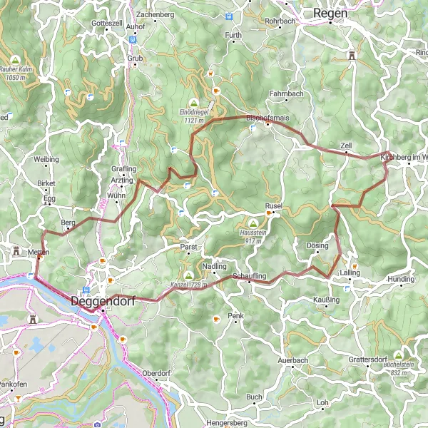
Get ready for an exciting gravel adventure from Metten to Bischofsmais. This 59-kilometer route has a challenging ascent of 1,584 meters, making it perfect for seasoned cyclists. Along the way, you'll encounter highlights such as Dreitannenriegel, Hieselberg, Reichertsried, and Ranzinger Vorberg. These locations offer breathtaking vistas and cultural landmarks that are worth exploring. The route also provides magnificent views of Metten's marketplace and Klosterkirche.
gravel
59 km
1584 m
Tough
Route profile
Highlights on the route
0 km
0 km
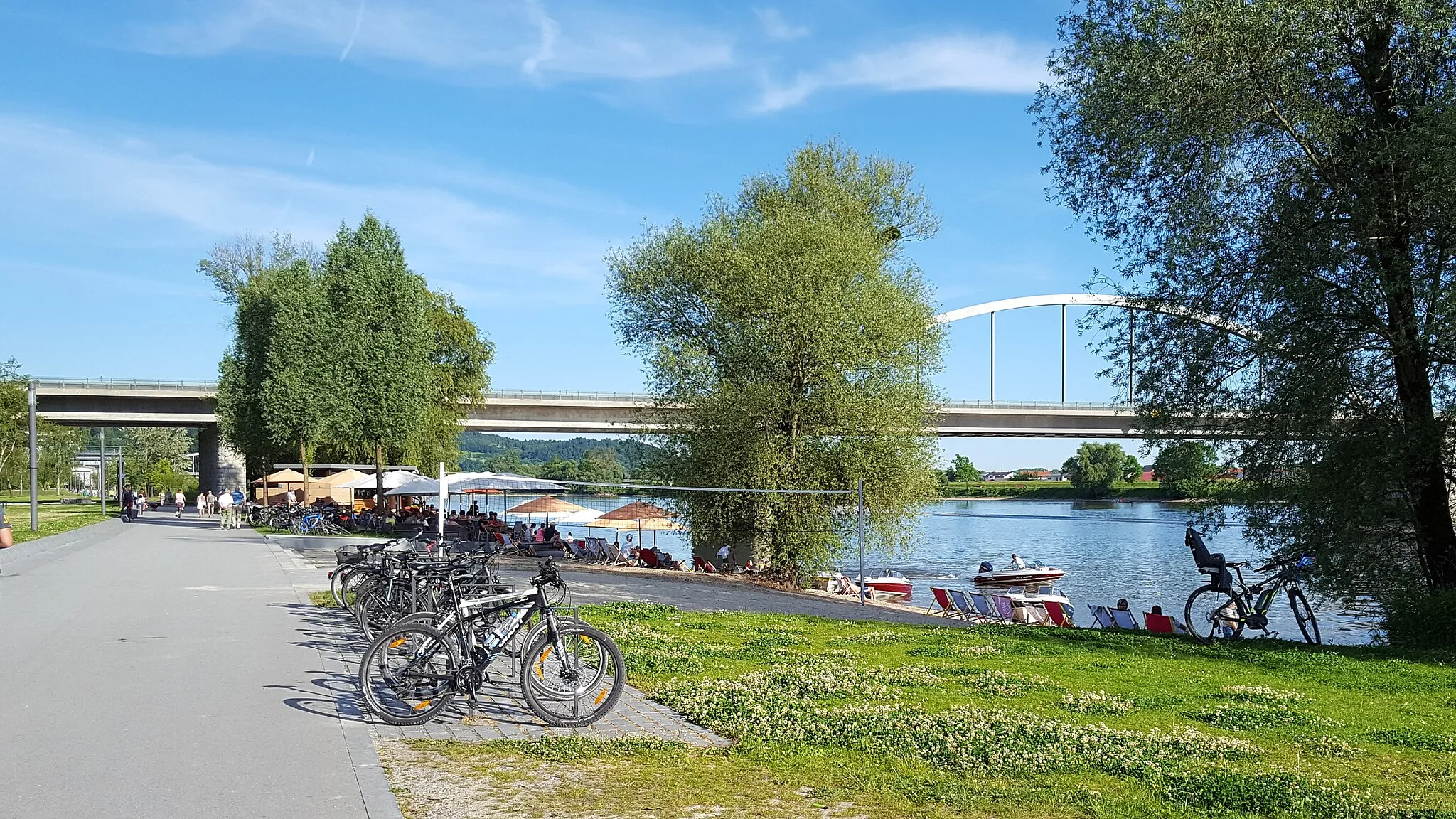
Start: Metten Village centerMetten: Embark on the Arber-Radrunde from the scenic town of Metten.
Metten, located in Niederbayern, Germany, offers decent cycling opportunities for both road and gravel cyclists. The local roads are generally in good condition and lightly trafficked, providing a pleasant cycling experience. Metten is surrounded by idyllic landscapes, showcasing charming villages, rolling hills, and views of the Danube River. One notable nearby cycling spot is the Arber-Radrunde, a popular cycling route that encircles Mount Arber. This route offers a mix of challenging climbs and scenic vistas. Overall, Metten provides a peaceful and picturesque base for cyclists.0 km
0 km
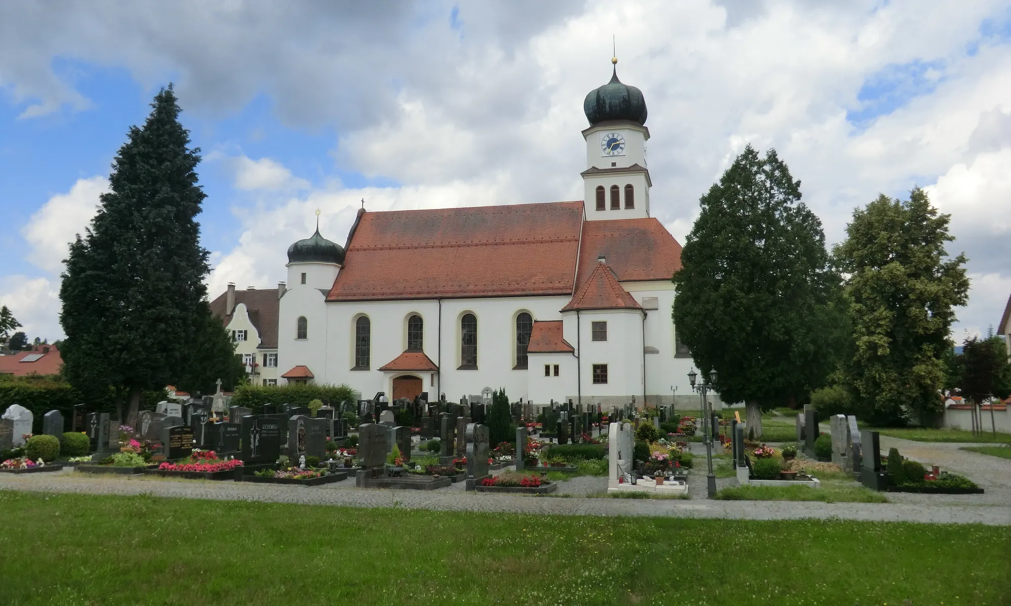
MettenVillageMetten's marketplace and Klosterkirche offer a historical and cultural starting point for your journey.
14 km
14 km
Dreitannenriegel1092 mViewpointDreitannenriegel is a renowned panoramic viewpoint with stunning views over the Bavarian Forest.
20 km
20 km
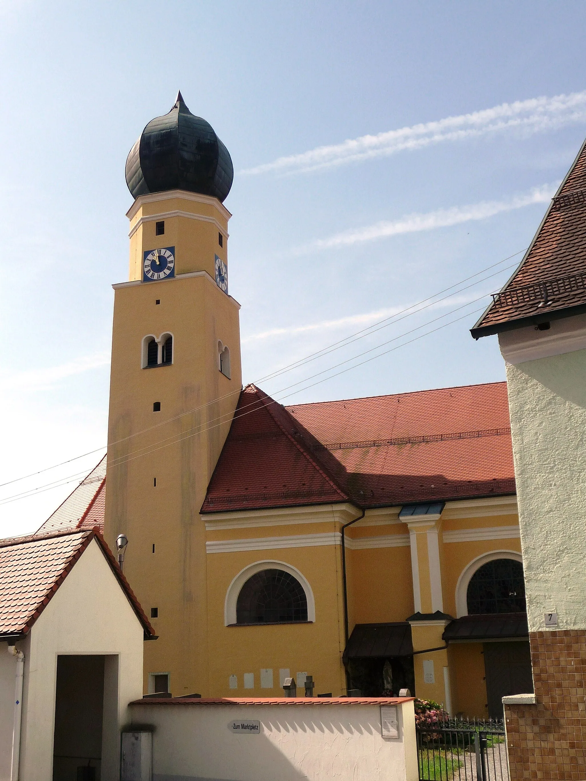
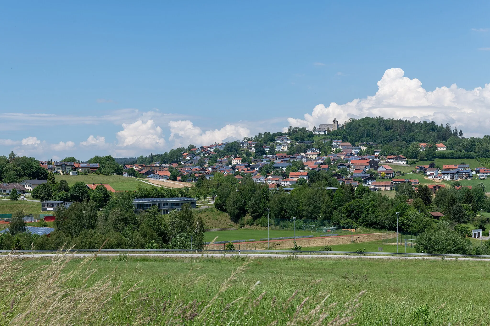
BischofsmaisVillageBischofsmais is a charming village known for its picturesque landscapes and traditional Bavarian architecture.
22 km
22 km
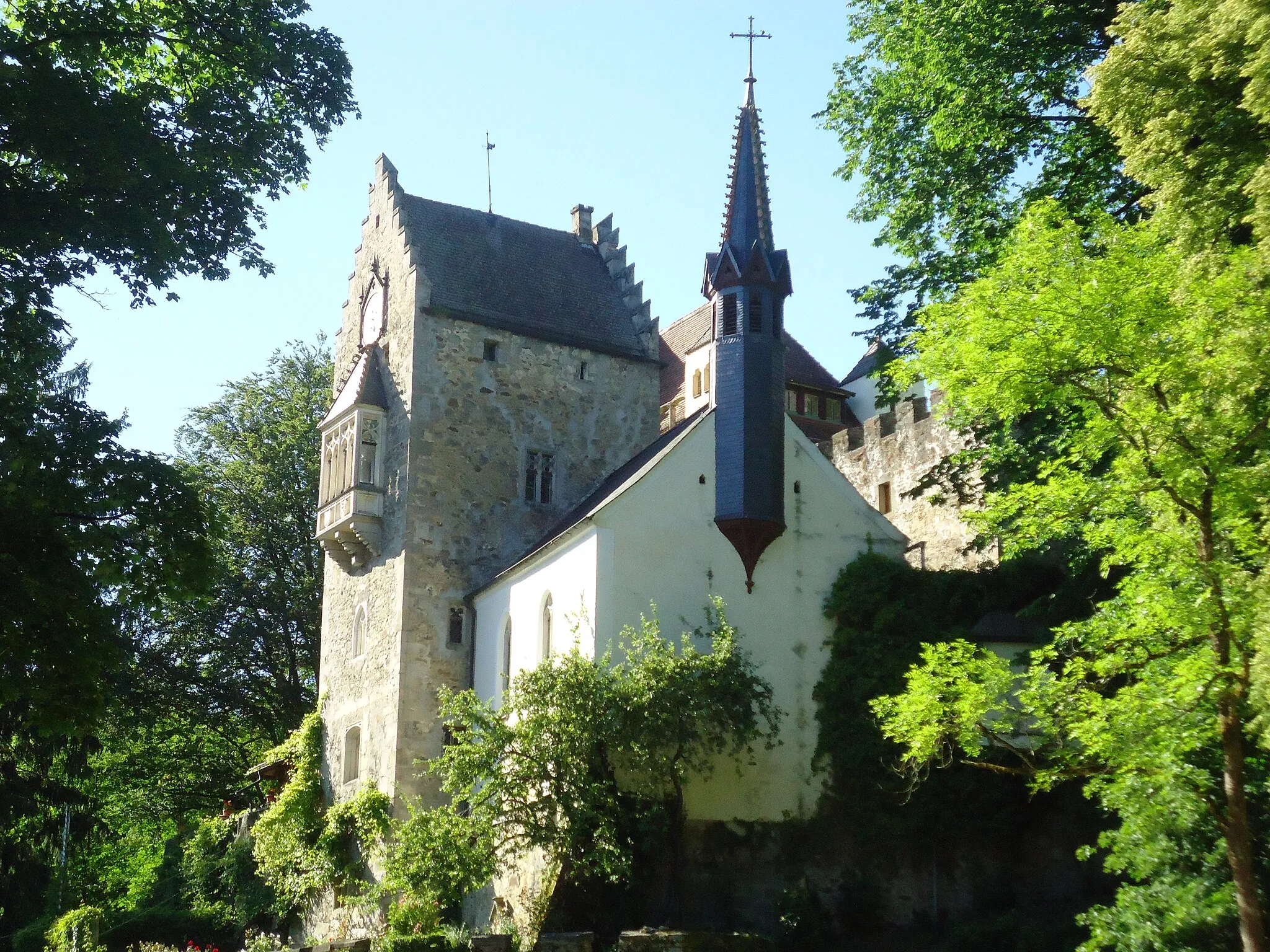
Hieselberg696 mPeakHieselberg is home to the impressive Hieselbergkapelle, a historic chapel with beautiful frescoes.
30 km
30 km
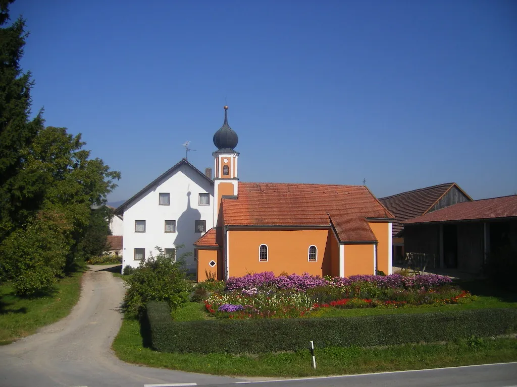
ReichertsriedVillageReichertsried offers a peaceful setting amidst nature, allowing for a relaxing break during your adventure.
35 km
35 km
Ranzinger Vorberg736 mPeakSavor panoramic views from the top of Ranzinger Vorberg, which overlooks the surrounding forests and hills.
52 km
52 km
Geißberg388 mPeakClimb Geißberg and enjoy its breathtaking viewpoints over the Bavarian landscape.
53 km
53 km
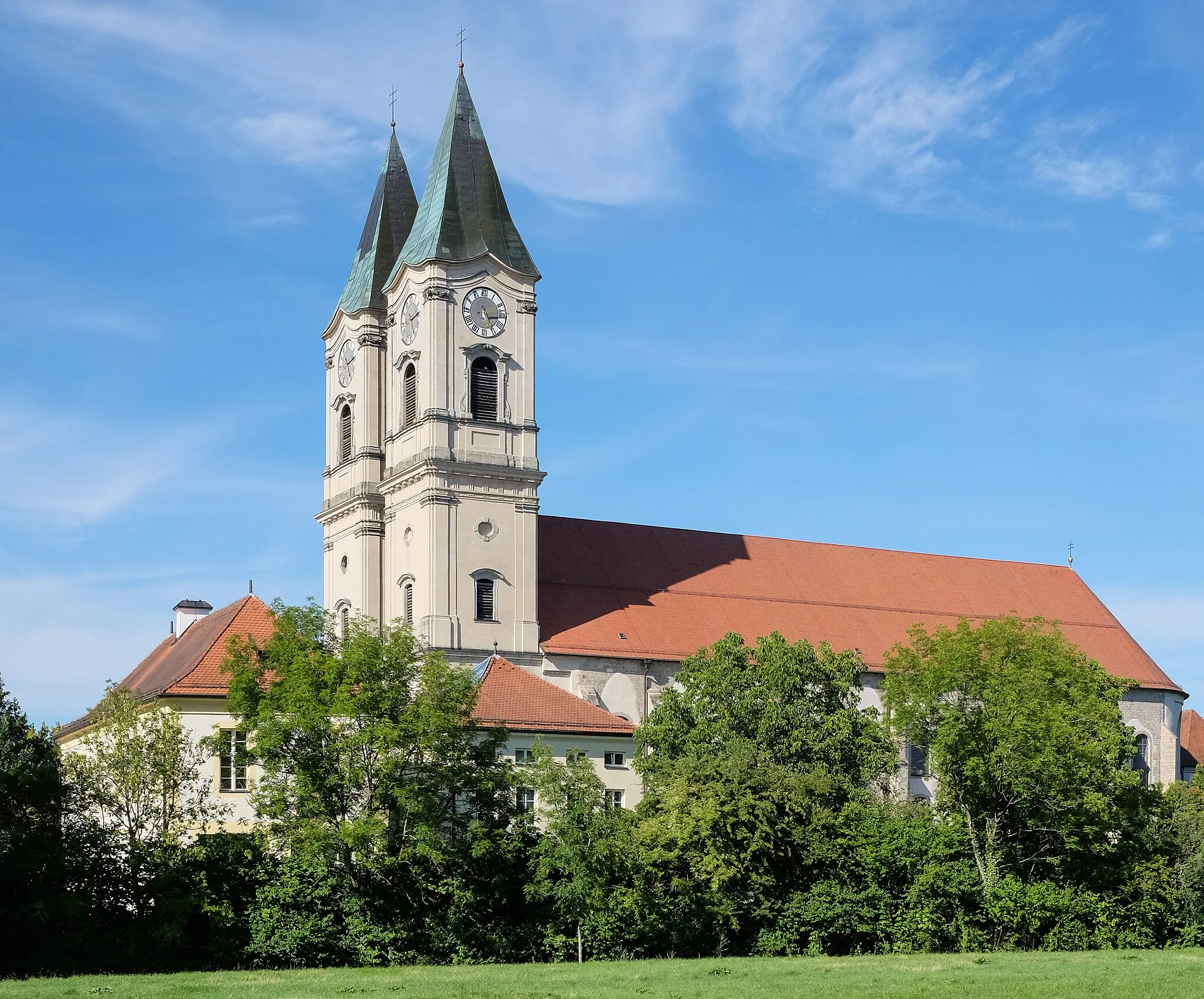
DeggendorfTownDeggendorf is a major city in the region and is known for its historical buildings and vibrant culture.
58 km
58 km
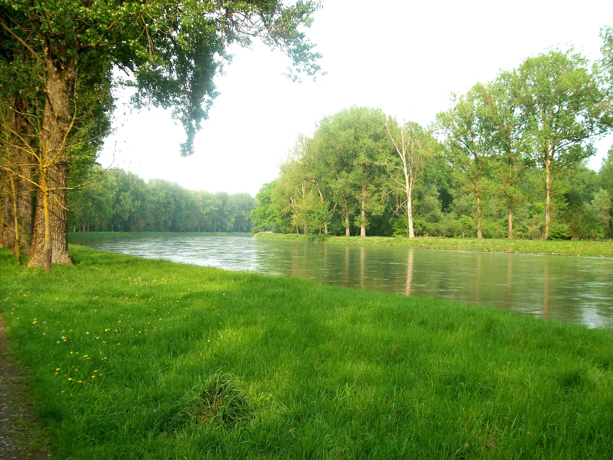
HochwieseHamletEnjoy the vast meadows and rolling hills of Hochwiese, an ideal spot to take in the natural beauty of the area.
58 km
58 km
Blick auf Mettner Marktplatz und KlosterkricheViewpointCatch a stunning view of Metten's marketplace and Klosterkirche from a picturesque vantage point along the route.
59 km
59 km
Finish: Metten Village centerMetten: Embark on the Arber-Radrunde from the scenic town of Metten.
Cycling routes from Metten:
Cycling routes nearby: