The Gravel Adventure
A gravel cycling route starting from Ruderting
An off-road adventure through stunning landscapes
Map
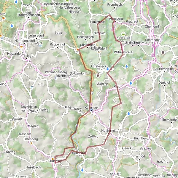
Embark on a thrilling off-road adventure with this gravel cycling route. Covering a distance of 38 kilometers and ascending a total of 895 meters, this route will challenge you while offering breathtaking views of Niederbayern. The scenic highlights along the way include Fürsteneck, which is known for its medieval castle, the picturesque Hoher Stein, and the charming town of Hutthurm.
gravel
38 km
895 m
Tough
Route profile
Highlights on the route
0 km
0 km
Start: Ruderting Village centerRuderting: Tranquil Cycling amidst Idyllic Landscapes
Ruderting, located in the Niederbayern region of Germany, is surrounded by idyllic landscapes that offer excellent cycling opportunities. The locality is characterized by rolling hills, charming villages, and quiet country roads, making it a cyclist's haven. Ruderting is situated near the famous Via Julia, an ancient Roman road that has been converted into a cycling route. This route offers a perfect blend of history and stunning natural scenery. Cyclists can also take on the challenge of nearby climbs such as the Roßberg, which provides panoramic views of the Bavarian countryside. Ruderting is a must-visit destination for cyclists seeking tranquility and a touch of history.10 km
10 km
FürsteneckVillageStop at Fürsteneck and explore its well-preserved castle, which dates back to the 13th century.
21 km
21 km
Hoher Stein583 mPeakAdmire the panoramic views from Hoher Stein, a popular lookout point on this route.
31 km
31 km
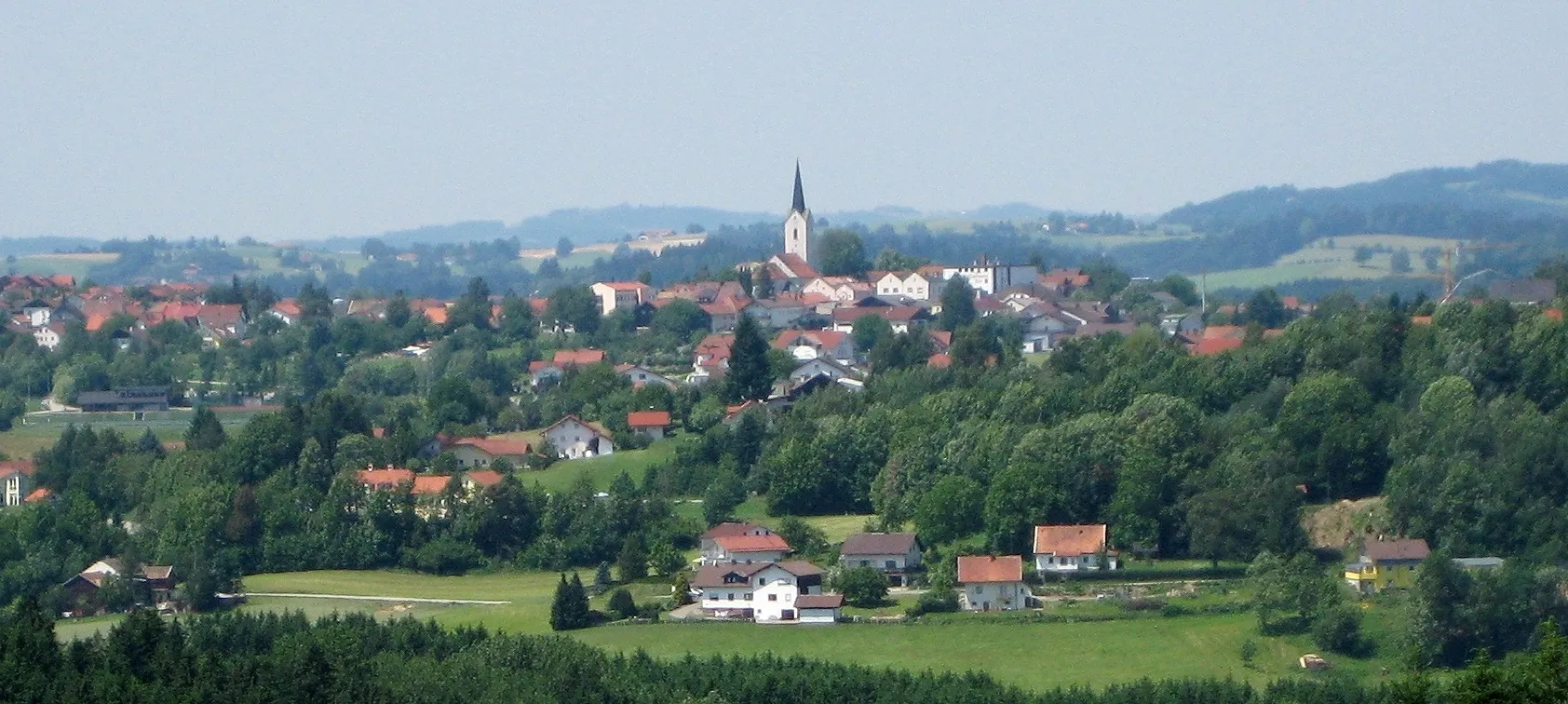
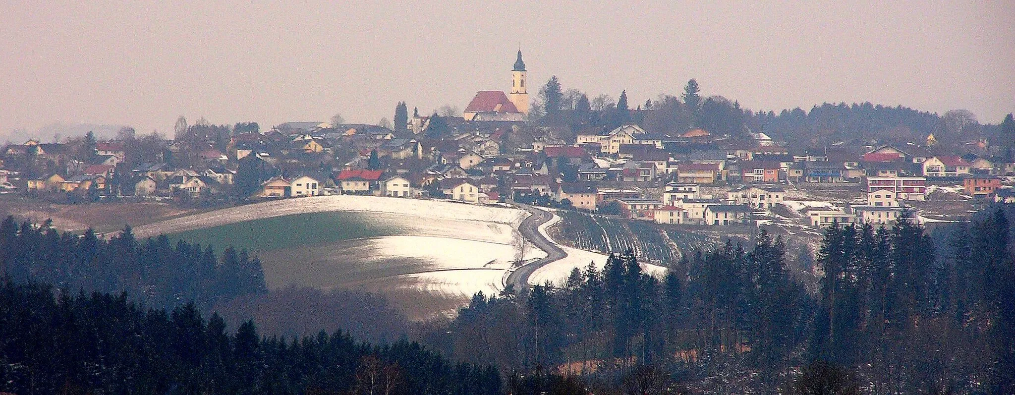
HutthurmVillageTake a break in Hutthurm and grab a bite to eat in one of the local cafes or restaurants.
38 km
38 km
Finish: Ruderting Village centerRuderting: Tranquil Cycling amidst Idyllic Landscapes
Cycling routes from Ruderting:
Off-Road Adventure Through Lower Bavaria Wetterpilz Road Challenge Gravel Adventure in Lower Bavaria Scenic Road Cycling Route Ruderting Road Adventure Idyllic Road Cycling Adventure Heining Road Circuit Büchlberg Gravel Route Ultimate Cycling Challenge in Lower Bavaria Fürsteneck Gravel Route The Gravel Adventure The Ultimate Road Cycling Challenge The Road to Adventure
Cycling routes nearby: