Scenic Gravel Adventure in Niederbayern
A gravel cycling route starting from Salching
Embark on a gravel cycling journey through the picturesque countryside of Niederbayern
Map
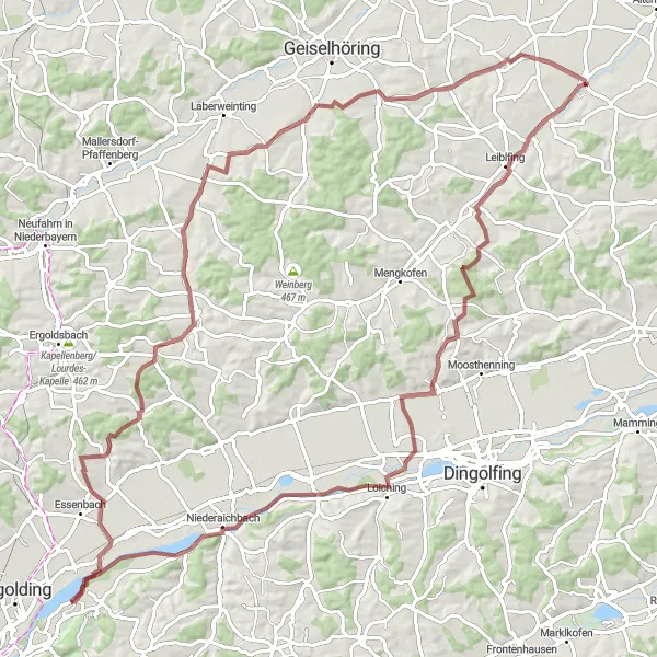
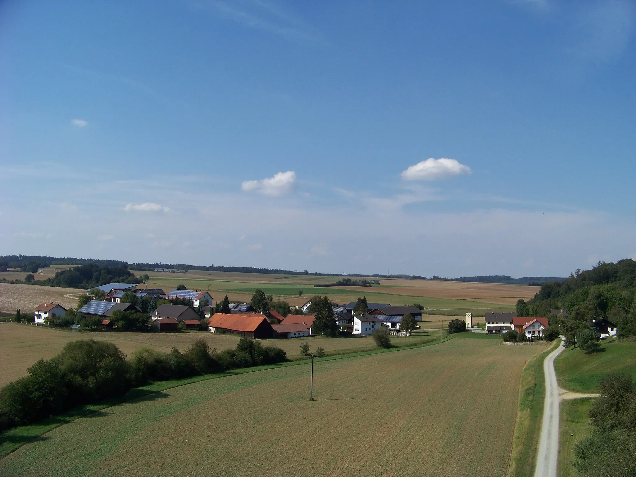
This distinctive route takes you on a thrilling gravel adventure through the stunning landscapes of Niederbayern. With a total distance of 101 kilometers and an elevation gain of 716 meters, this ride is perfect for experienced cyclists seeking a scenic challenge. Delight in the natural beauty of the region as you pass through charming towns, rolling hills, and peaceful forests. The mix of challenging terrain and breathtaking views makes this route a must-do for avid cyclists and nature enthusiasts alike.
gravel
101 km
716 m
Tough
Route profile
Highlights on the route
0 km
0 km
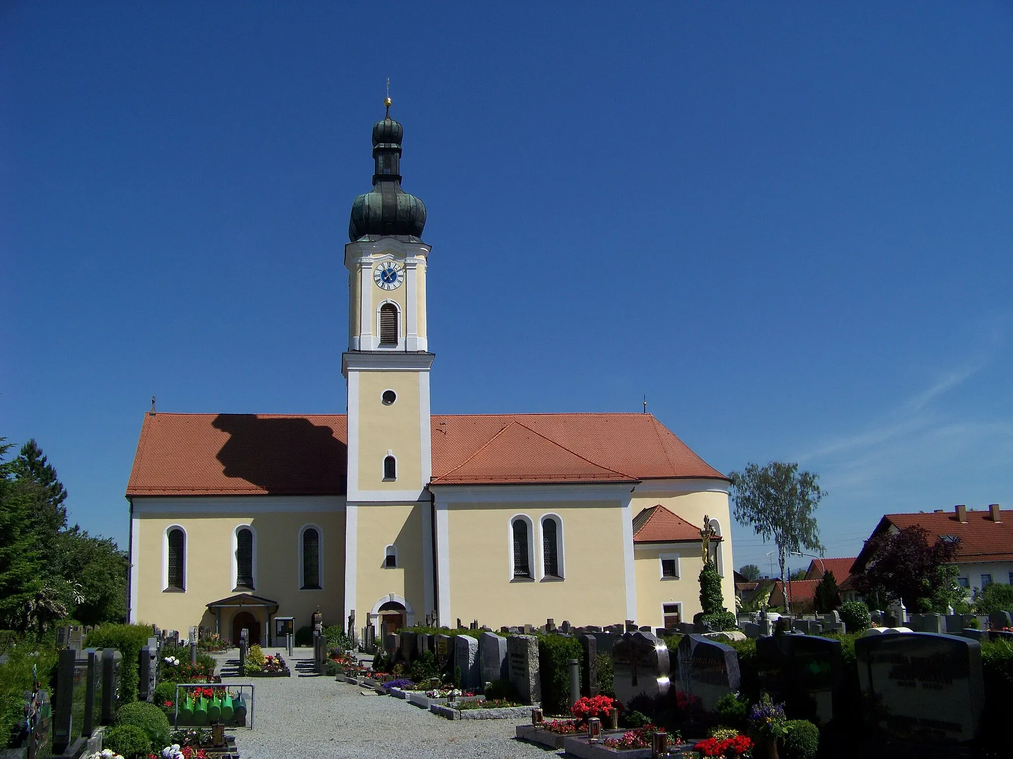
Start: Salching Village centerSalching: Exploring the rolling countryside and charming villages of Salching
Salching is a locality in the Niederbayern region of Germany. From a cyclist's perspective, Salching offers a mix of road and gravel routes, making it suitable for both road and gravel cyclists. The region is characterized by its rolling countryside, charming villages, and well-maintained cycling paths. Cycling through the lush green fields and picturesque landscapes is a delightful experience. One of the notable nearby cycling spots is Bogenberg, a popular climb with stunning views at the top. Overall, Salching provides a pleasant cycling environment with varied routes and beautiful scenery.6 km
6 km
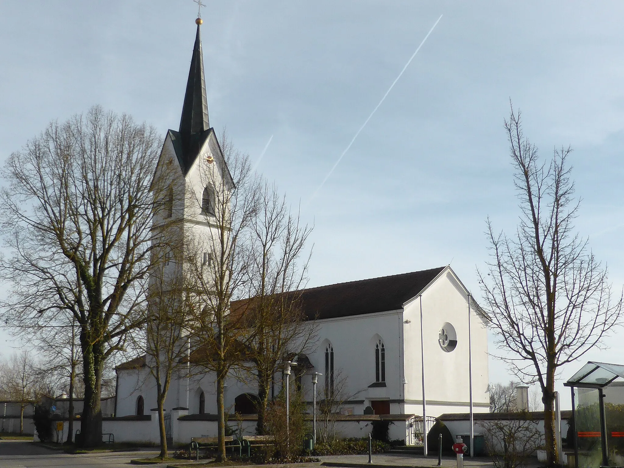
LeiblfingVillageLeiblfing, located 6 kilometers into the route, offers a picturesque village with traditional Bavarian architecture and a charming town square.
28 km
28 km
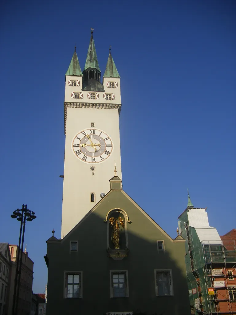
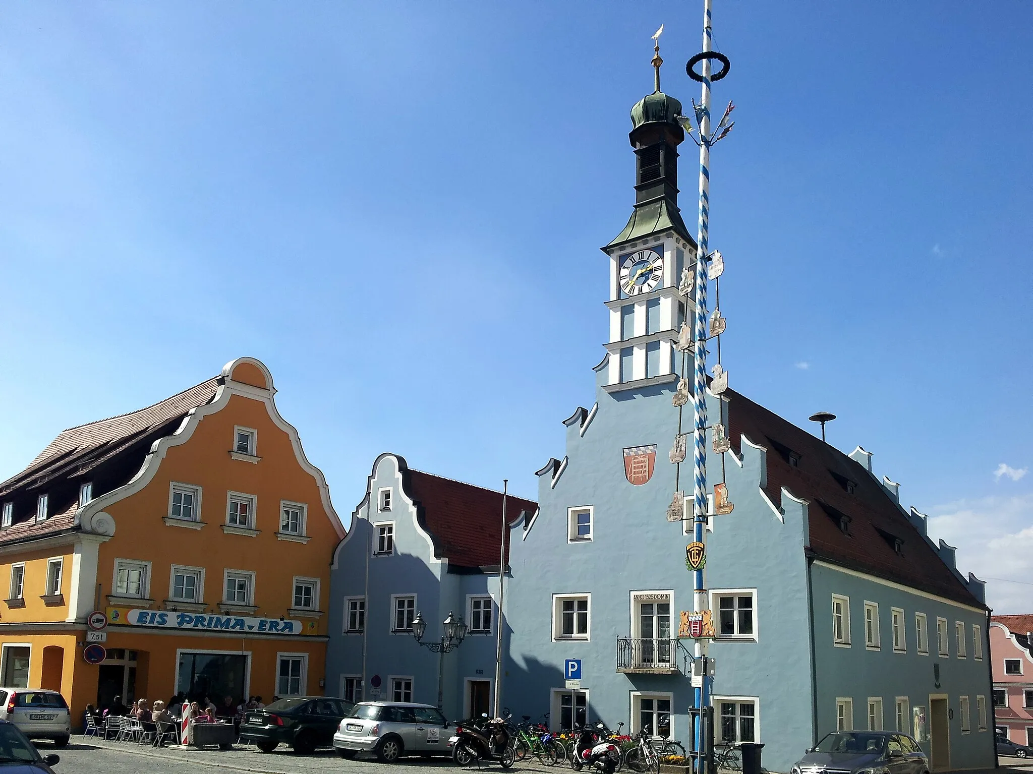
LoichingVillageLoiching, situated at the 28-kilometer mark, is home to the impressive Loiching Castle, perched on a hilltop and offering stunning views of the surrounding countryside.
38 km
38 km
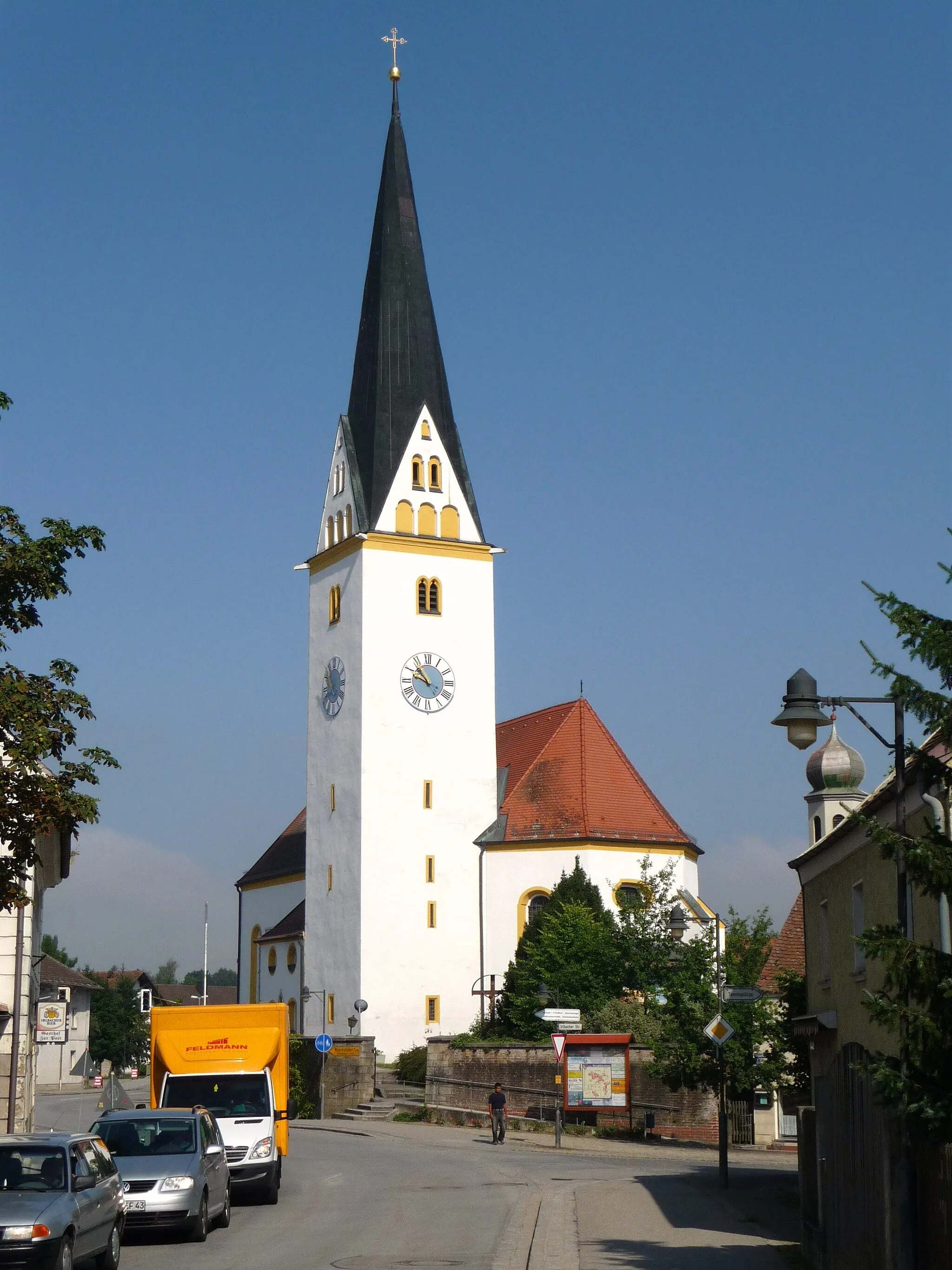
NiederaichbachVillageNiederaichbach, at the 38-kilometer point, is known for its historic monastery, where visitors can explore beautifully preserved Gothic architecture and serene gardens.
40 km
40 km
Hohe BürgViewpointAt the 40-kilometer mark, you'll reach Hohe Bürg, a notable hill with an ancient fortified settlement. Take a moment to soak in panoramic views of the surrounding area.
62 km
62 km
OberröhrenbachHamletOberröhrenbach, located at the 62-kilometer point, is famous for its traditional Bavarian beer gardens, where you can relax and enjoy local brews in a scenic countryside setting.
71 km
71 km
PenkHamletSituated at the 71-kilometer mark, Penk rewards cyclists with a delightful nature reserve hosting diverse wildlife and tranquil walking trails.
84 km
84 km
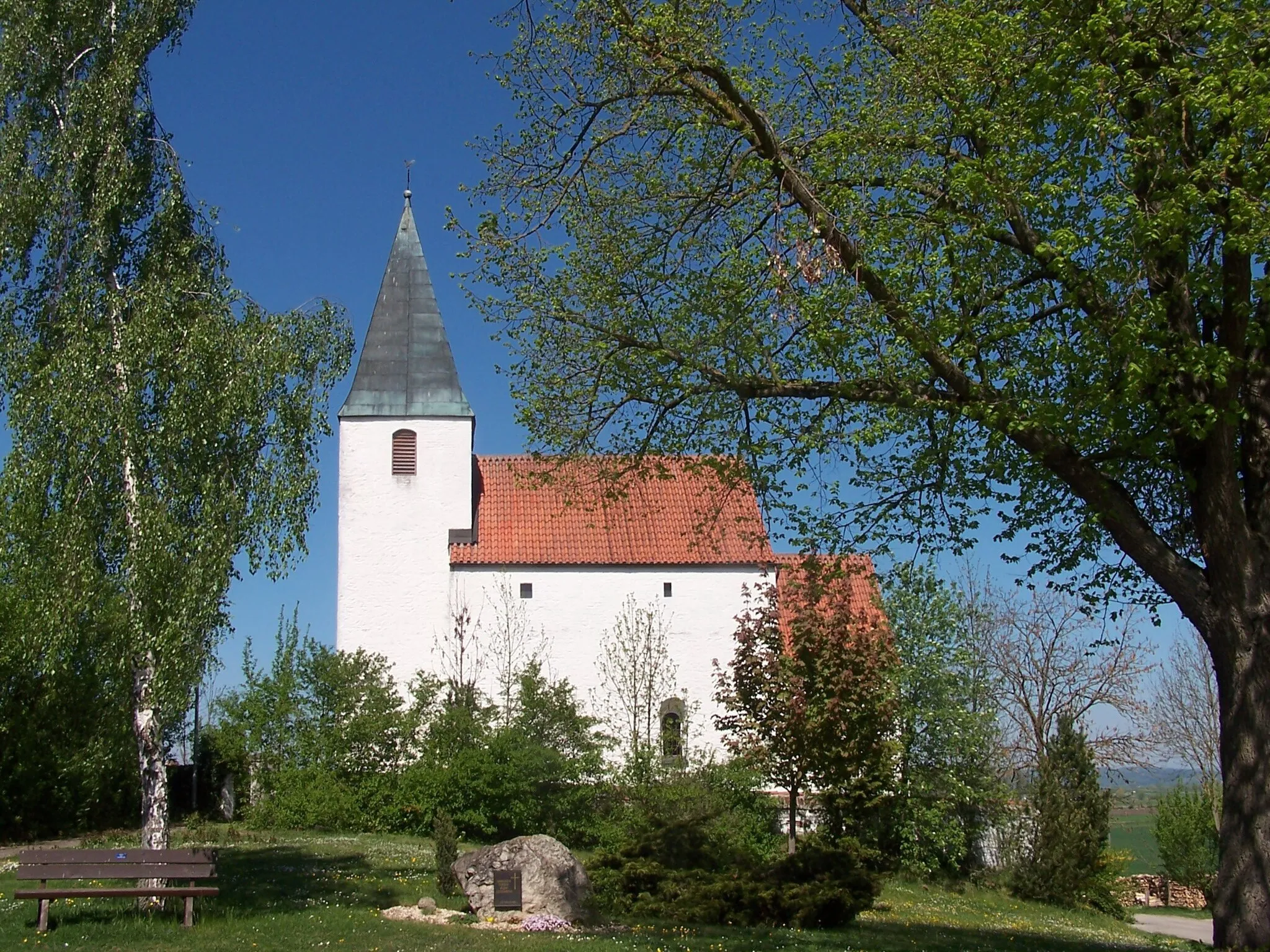
HadersbachHamletHadersbach, found at the 84-kilometer mark, offers a peaceful ambiance and beautiful old architecture, including a picturesque church dating back centuries.
96 km
96 km
GundhöringHamletGundhöring, located at the 96-kilometer mark, is known for its stunning fields of sunflowers during the summer months, immersing cyclists in a vibrant sea of golden beauty.
101 km
101 km
Finish: Salching Village centerSalching: Exploring the rolling countryside and charming villages of Salching
Cycling routes from Salching:
Salching to Hankofen Route Hankofen to Außerhienthal Route Gravel Route through Puchhausen Salching to Oberschneiding Route Gravel Route to Piering The Hilly Circular Tour The Scenic Loop The Gravel Adventure The Short and Sweet Loop The Danube Gravel Adventure Scenic Gravel Adventure in Niederbayern
Cycling routes nearby: