The Hilly Circular Tour
A road cycling route starting from Salching
Discover the challenging hills and breathtaking landscapes on this circular road cycling route near Salching
Map

This circular road cycling route near Salching is ideal for cyclists looking for a challenging ride that showcases the beautiful landscapes of Niederbayern. With a total ascent of 1,753 meters and a distance of 143 kilometers, this route offers a thrilling experience for well-trained amateur cyclists. The route passes through scenic towns and villages such as Aiterhofen, Bogen, and Hunsafeucht, allowing riders to immerse themselves in the local culture and history. The highlight of the journey is Bogenberg, a prominent hill with a stunning view of the surrounding countryside. Overall, this route offers a unique and unforgettable cycling experience that will satisfy any adventurous cyclist.
road
143 km
1753 m
Tough
Route profile
Highlights on the route
0 km
0 km
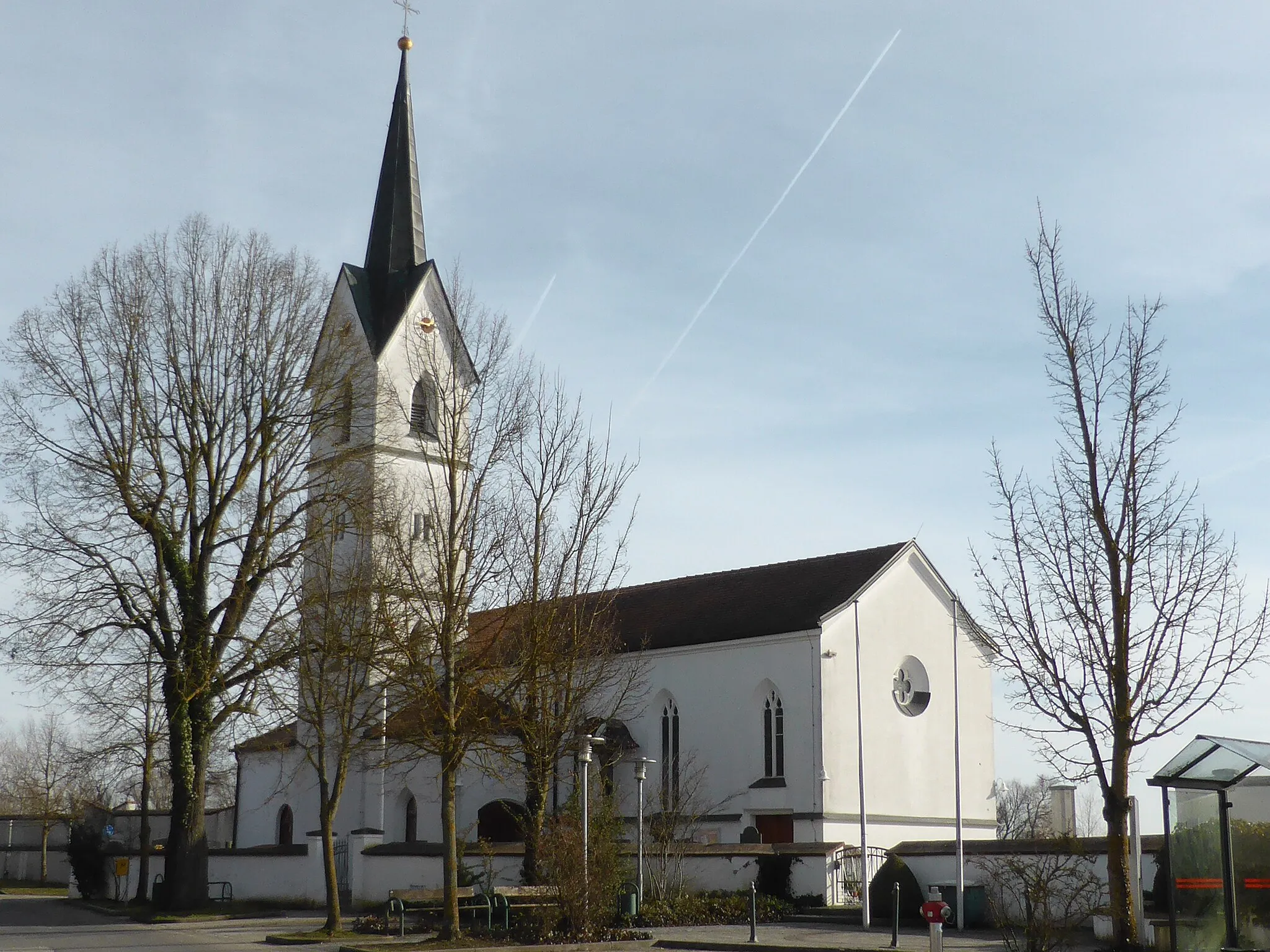
Start: Niedersunzing Village centerSalching: Exploring the rolling countryside and charming villages of Salching
Salching is a locality in the Niederbayern region of Germany. From a cyclist's perspective, Salching offers a mix of road and gravel routes, making it suitable for both road and gravel cyclists. The region is characterized by its rolling countryside, charming villages, and well-maintained cycling paths. Cycling through the lush green fields and picturesque landscapes is a delightful experience. One of the notable nearby cycling spots is Bogenberg, a popular climb with stunning views at the top. Overall, Salching provides a pleasant cycling environment with varied routes and beautiful scenery.8 km
8 km
AiterhofenVillageAiterhofen is a charming town located along the route, offering a great spot for a refreshing break and an opportunity to explore its historic buildings.
18 km
18 km
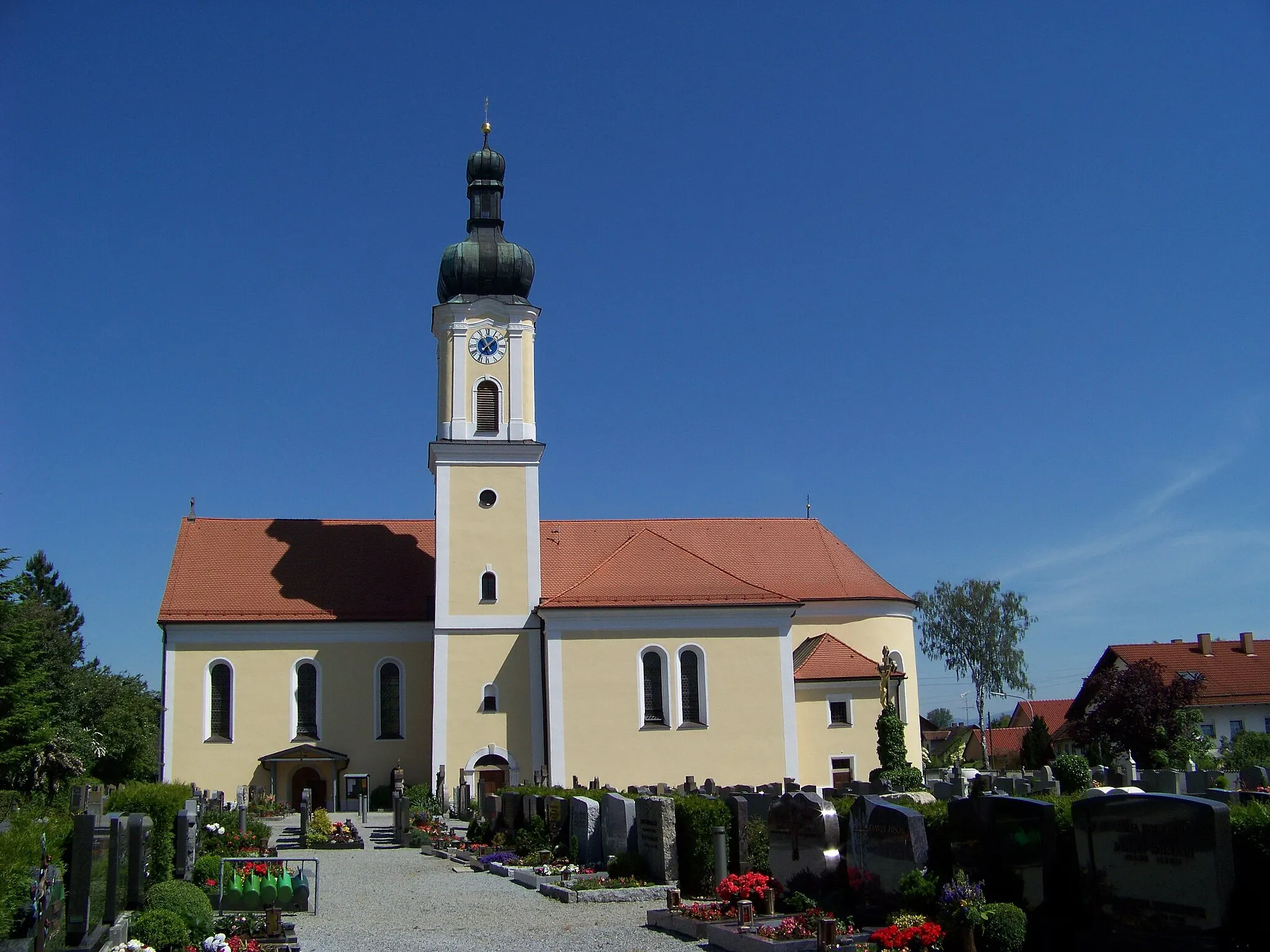
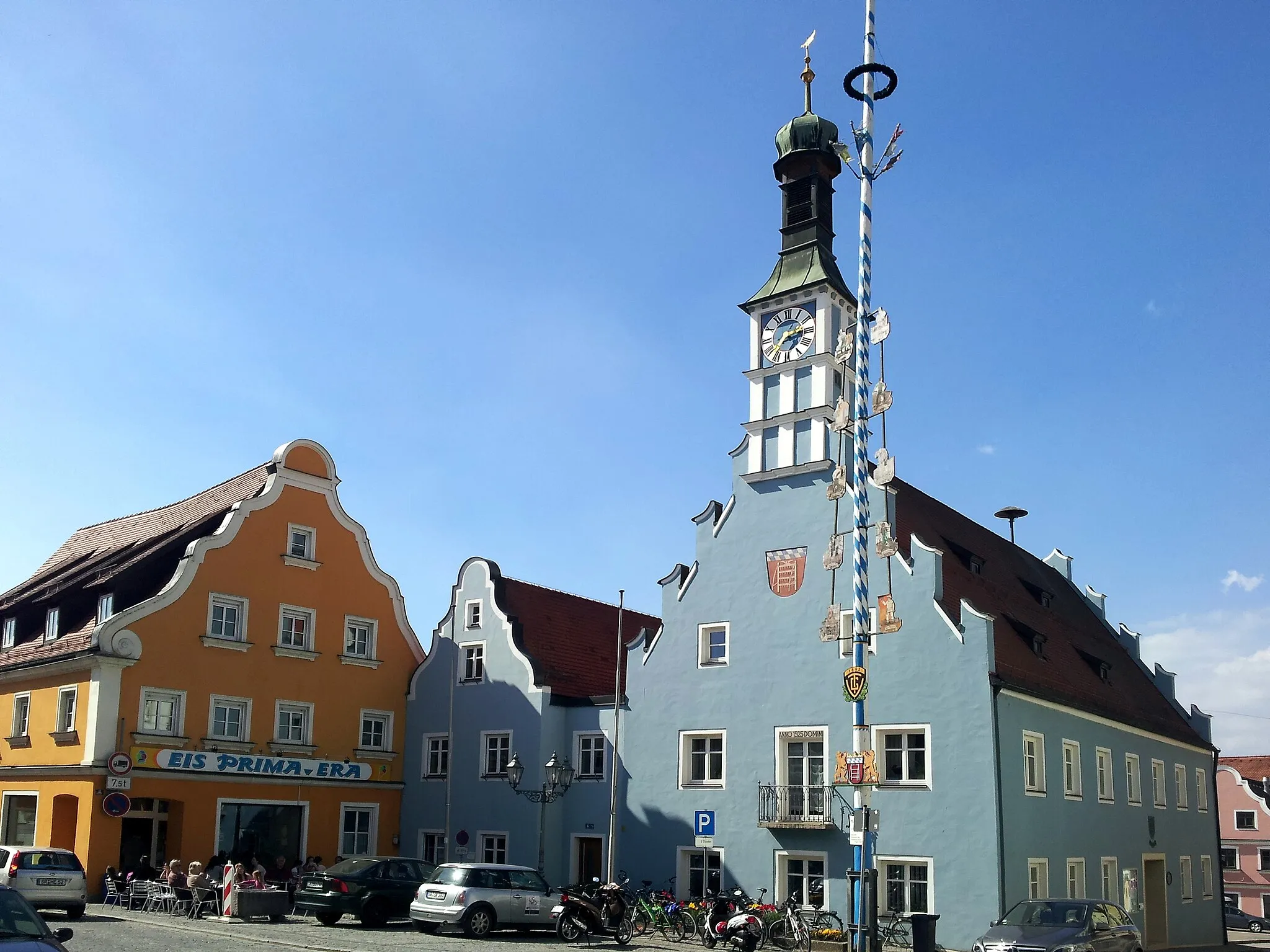
BogenTownBogen is a picturesque town famous for its medieval architecture and a must-visit spot for history enthusiasts.
18 km
18 km
Bogenberg432 mPeakBogenberg is a popular pilgrimage site with a glorious hilltop basilica and panoramic views of the surrounding countryside.
27 km
27 km
HunderdorfVillageHunderdorf is known for its scenic beauty, providing cyclists with stunning views of rolling hills and forests.
41 km
41 km
Rettenbacher Leiten740 mPeakRettenbacher Leiten is a challenging climb that rewards cyclists with breathtaking views of the countryside once they conquer it.
63 km
63 km
PatersdorfVillagePatersdorf is a picturesque village surrounded by lush green fields and forests, offering a serene and peaceful atmosphere.
83 km
83 km
BischofsmaisVillageBischofsmais is a charming town nestled within the Bayerischer Wald National Park, offering beautiful views and opportunities for outdoor activities.
84 km
84 km
Hieselberg696 mPeakHieselberg is a scenic hill with a gentle ascent, providing stunning views of the nearby river and countryside.
95 km
95 km
Steinbichel577 mPeakSteinbichel is a small village known for its quaint charm and picturesque landscapes, making it a perfect place for a peaceful break during the ride.
100 km
100 km
DeggendorfTownDeggendorf is a vibrant town located at the confluence of the Isar and Danube rivers, offering numerous cultural and recreational attractions.
111 km
111 km
PlattlingTownPlattling is a picturesque town with a rich history and a beautiful riverside location, providing a scenic backdrop for a pit stop and exploration.
128 km
128 km
HaidenkofenVillageHaidenkofen offers cyclists a unique opportunity to relax and enjoy the views of the rolling hills and charming Bavarian countryside.
136 km
136 km
HankofenVillageHankofen is a tranquil village surrounded by picturesque landscapes, providing a perfect spot for cyclists to unwind and appreciate the beauty of the region.
143 km
143 km
Finish: Niedersunzing Village centerSalching: Exploring the rolling countryside and charming villages of Salching
Cycling routes from Salching:
Salching to Hankofen Route Hankofen to Außerhienthal Route Gravel Route through Puchhausen Salching to Oberschneiding Route Gravel Route to Piering The Hilly Circular Tour The Scenic Loop The Gravel Adventure The Short and Sweet Loop The Danube Gravel Adventure Scenic Gravel Adventure in Niederbayern
Cycling routes nearby: