Through the Forests and Mountains of Niederbayern
A gravel cycling route starting from Teisnach
Embark on a challenging gravel route that takes you from Teisnach to the breathtaking landscapes of Böbrach, Železná Ruda, and Tok.
Map
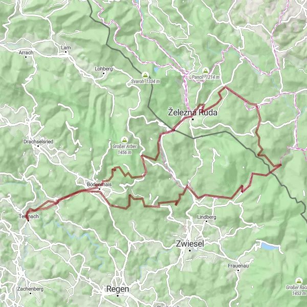
Experience the natural beauty of Niederbayern as you cycle through dense forests and conquer challenging mountain ascents. This 92km gravel route, with an elevation gain of 2,187m, will truly test your skills and endurance. From the picturesque village of Böbrach to the scenic peaks of Hochzellberg and Železná Ruda, every pedal stroke will be rewarded with stunning views. Don't miss the enchanting Ždánidla, the historic Kreuzstraßl, and the breathtaking Teisnach.
gravel
92 km
2187 m
Tough
Route profile
Highlights on the route
0 km
0 km
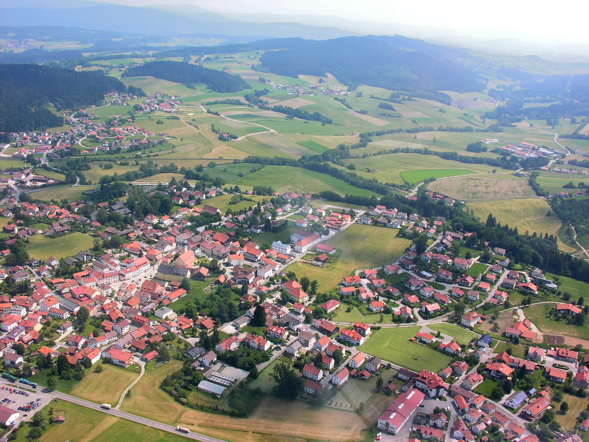
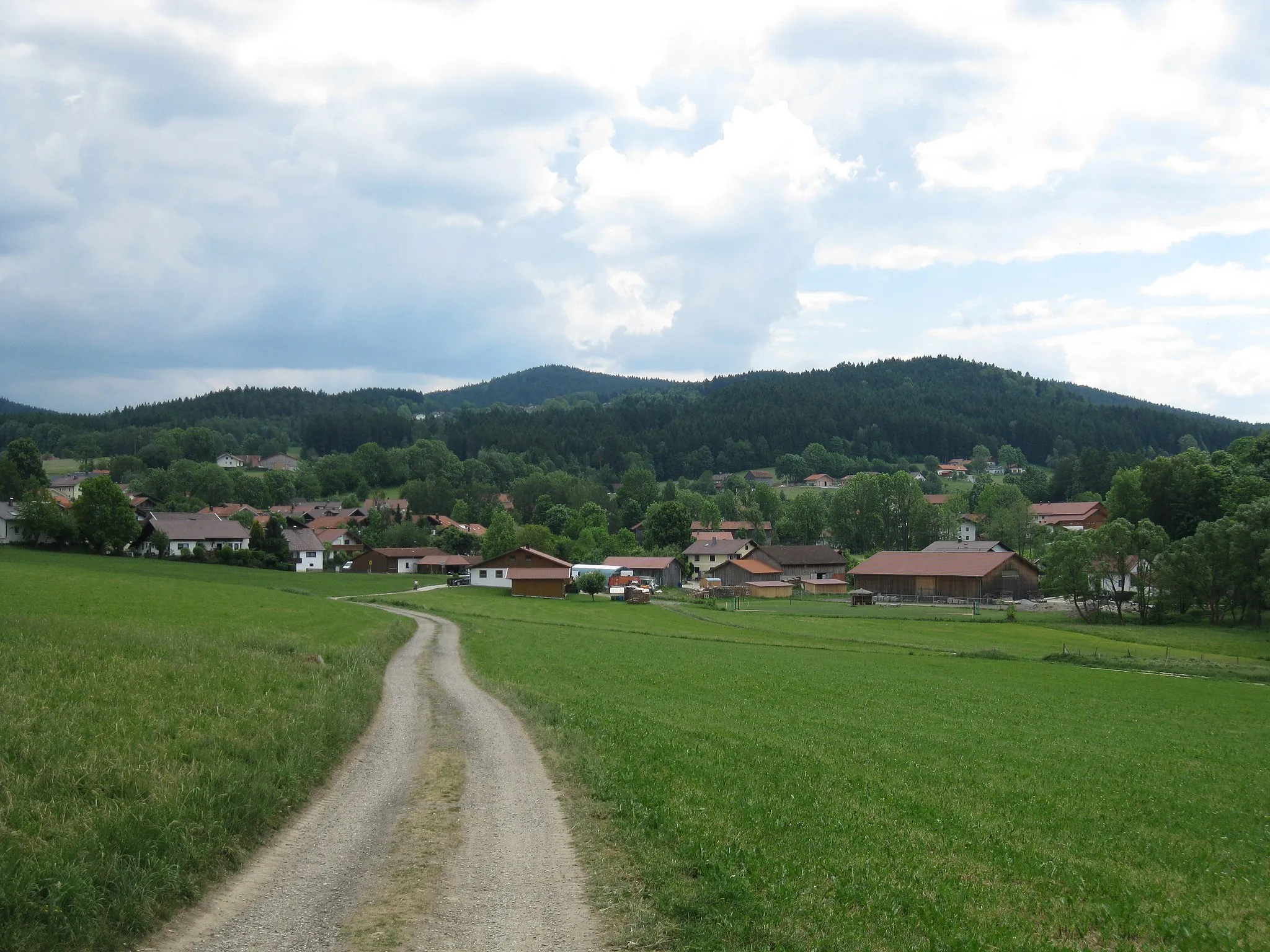
Start: Teisnach Village centerTeisnach: Connect with nature and discovery wellness spots while cycling in Teisnach.
Teisnach, located in Niederbayern region of Germany, offers a range of cycling opportunities for road and gravel cyclists alike. The locality is surrounded by scenic forests, meandering rivers, and rolling hills, providing a captivating backdrop for cycling adventures. Cyclists can explore routes that take them through charming Bavarian villages and allow them to connect with nature. Teisnach is situated close to 'Drei-Thermen-Tour' cycling route and offers access to multiple mineral springs, making it an ideal destination for wellness-focused cyclists. With its charming countryside and accessible cycling routes, Teisnach offers a pleasant experience for cyclists of all levels.5 km
5 km
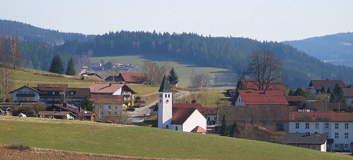
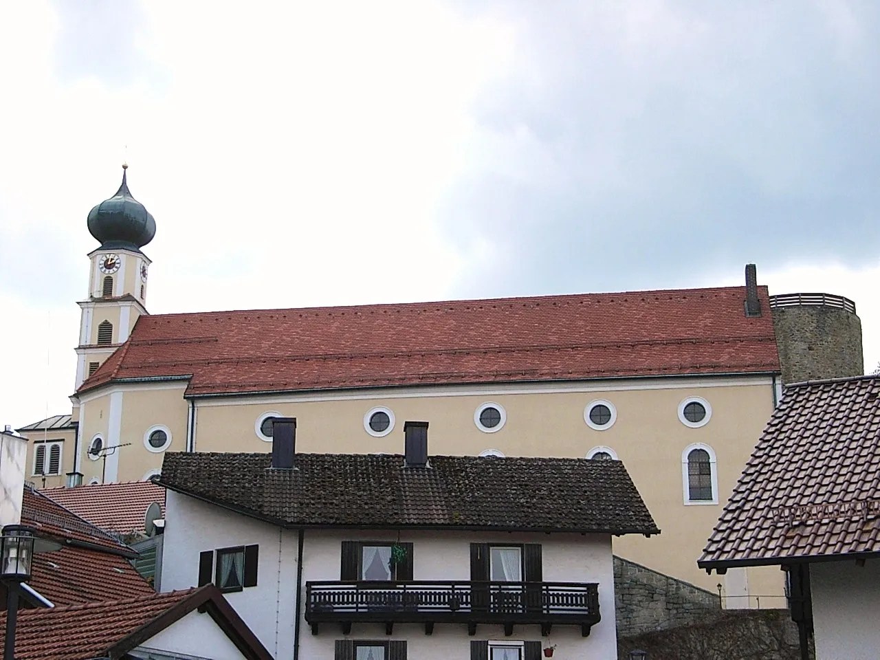
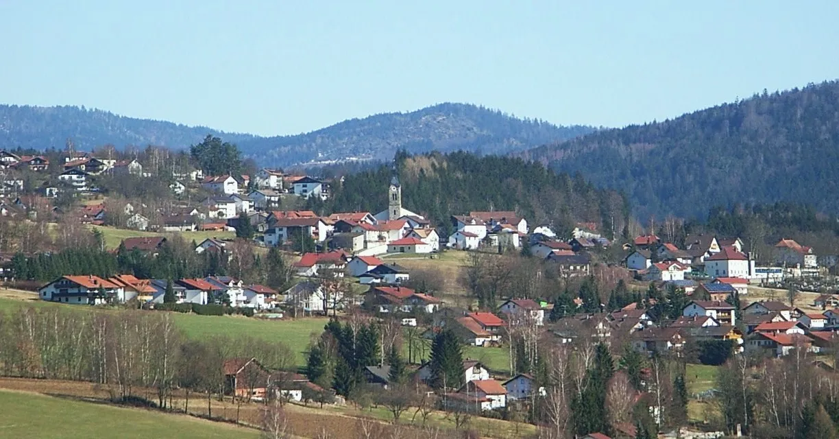
BöbrachVillageExplore the charming village of Böbrach and take in its idyllic surroundings.
16 km
16 km
Hochzellberg1208 mPeakConquer the challenging ascent of Hochzellberg and enjoy panoramic views of the region.
31 km
31 km
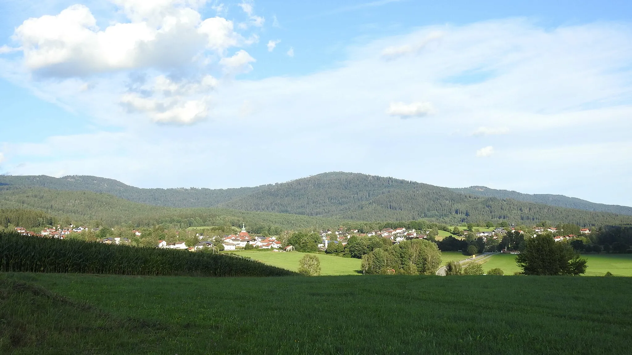
Železná RudaTownCross the border to Železná Ruda, a picturesque town known for its historical buildings.
37 km
37 km
Tok1023 mPeakStop at Tok, a hidden gem with stunning nature trails.
47 km
47 km
Ždánidla1308 mPeakDiscover Ždánidla, a unique rock formation sculpted by nature.
62 km
62 km
KreuzstraßlVillageVisit Kreuzstraßl, an ancient crossroad with a rich history.
73 km
73 km
Hennenkobel965 mPeakPause at Hennenkobel to catch your breath and take in the scenic countryside.
81 km
81 km
BöhmhofHamletRest at Böhmhof and savor some local delicacies.
92 km
92 km
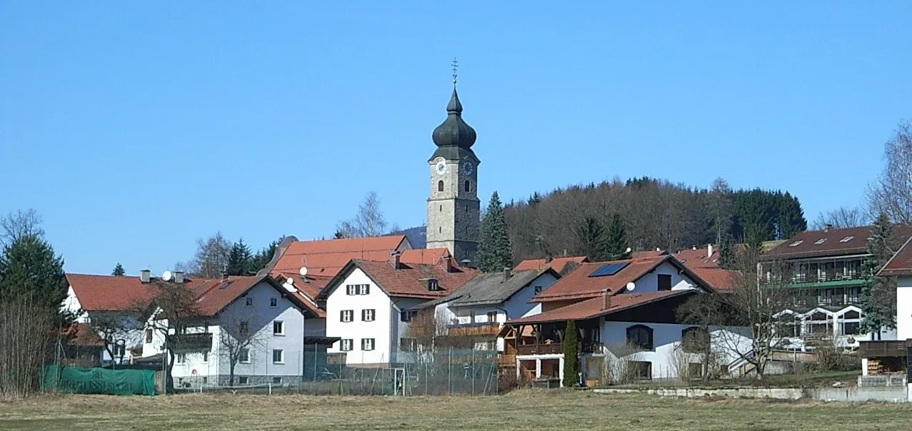
TeisnachVillageEnd your journey in Teisnach, where verdant landscapes and towering mountains greet you.
92 km
92 km
Finish: Teisnach Village centerTeisnach: Connect with nature and discovery wellness spots while cycling in Teisnach.
Cycling routes from Teisnach:
The Enchanting Landscapes of Achslach and Fernsdorf Gravel Adventure through Bavarian Countryside The Bavarian Championship Road Cycling Route Scenic Road Cycling Tour of Bavarian Countryside Scenic Delights of Patersdorf and Sankt Englmar Immerse Yourself in Nature's Beauty on the Kälberbuckel Route The Bavarian Forest Grand Tour Trek through the Heart of Bavarian Forest Discover the Wonders of Geiersthal Through the Forests and Mountains of Niederbayern
Cycling routes nearby: