Untergriesbach Gravel Adventure
A gravel cycling route starting from Untergriesbach
Embark on a thrilling gravel adventure through Untergriesbach's diverse terrain.
Map
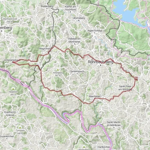
The Untergriesbach Gravel Adventure is a 102-kilometer long route that covers various terrains and breathtaking landscapes. With an ascent of 2443 meters, this gravel route offers a challenging but rewarding experience for gravel enthusiasts. Highlights of this route include stops at Wegscheid, Rohrbach-Berg, Bründlberg, Altenfelden, Lembach im Mühlkreis, Panoramablick Pfarrkirchen, Oberkappel, and Lämmersdorf. Each of these locations provides a unique perspective of the Untergriesbach region's natural beauty and serves as interesting landmarks along the way.
gravel
102 km
2443 m
Savage
Route profile
Highlights on the route
0 km
0 km
Start: Untergriesbach Village centerUntergriesbach: Discover cycling heaven in Niederbayern.
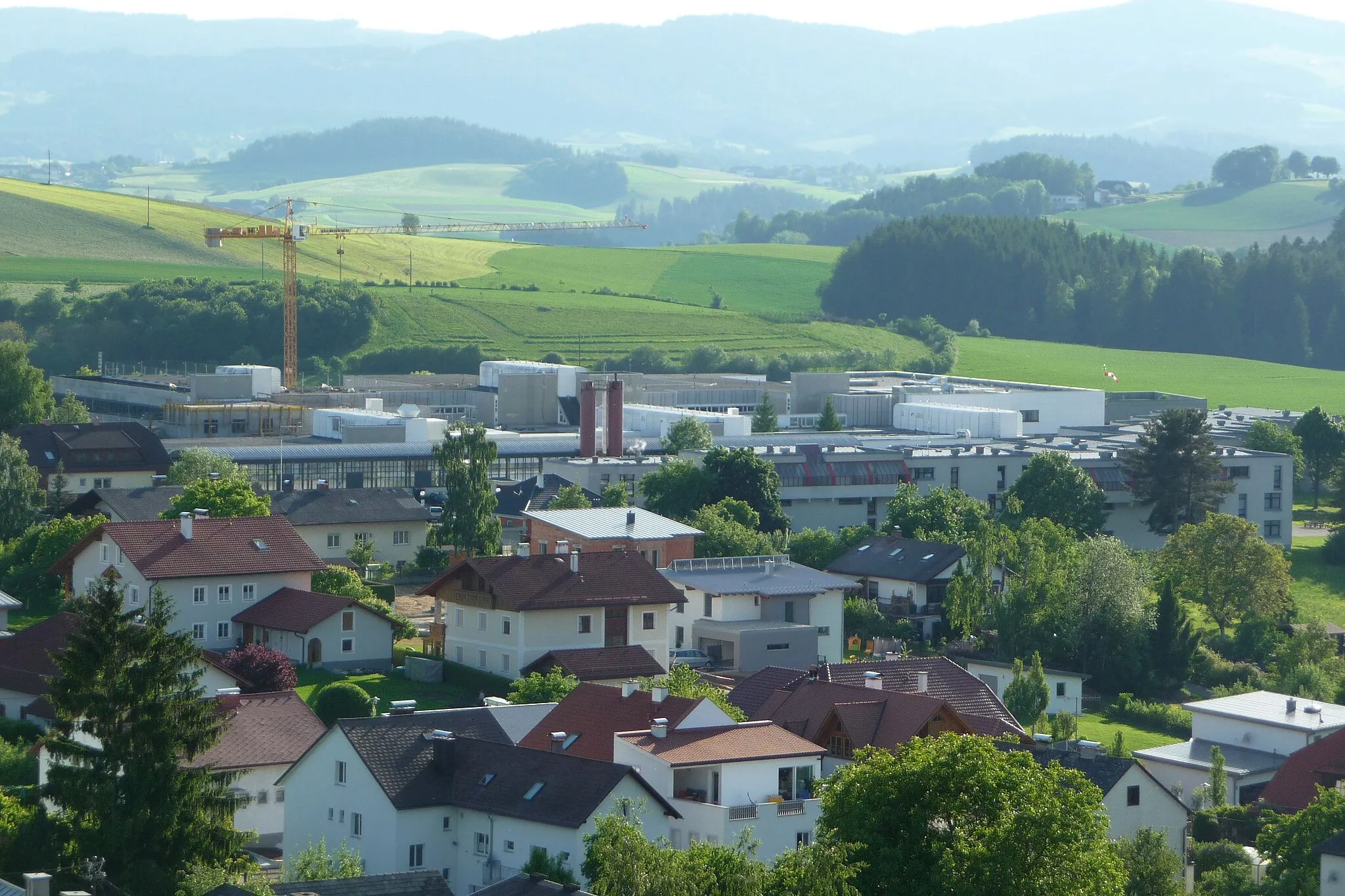
Untergriesbach in Niederbayern, Germany, is a beautiful locality for road and gravel cycling. The area is characterized by stunning landscapes and well-paved roads, providing cyclists with an enjoyable ride. Cyclists can explore various routes with different difficulty levels, catering to both beginners and advanced riders. Furthermore, Untergriesbach serves as a gateway to renowned cycling locations and well-known climbs, making it a popular destination for cycling tourism. Whether you seek thrilling climbs or scenic routes through nature, Untergriesbach has something to offer to every cyclist.12 km
12 km
WegscheidVillageWegscheid is the starting point of this thrilling gravel adventure, known for its scenic landscapes and challenging tracks.
33 km
33 km
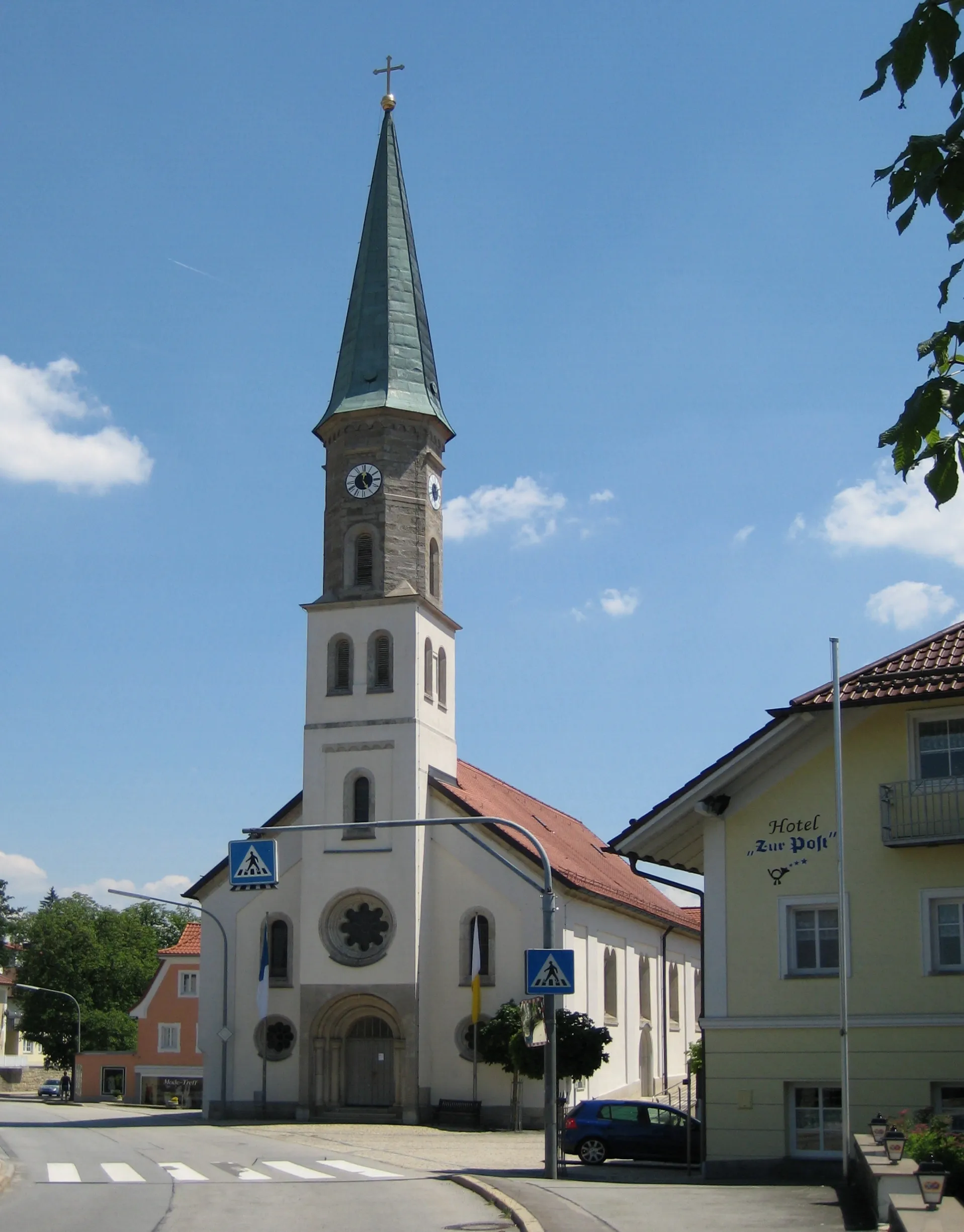
Rohrbach-BergTownRohrbach-Berg is a highlight at the 33-kilometer mark, offering a mix of rolling hills and stunning vistas.
36 km
36 km
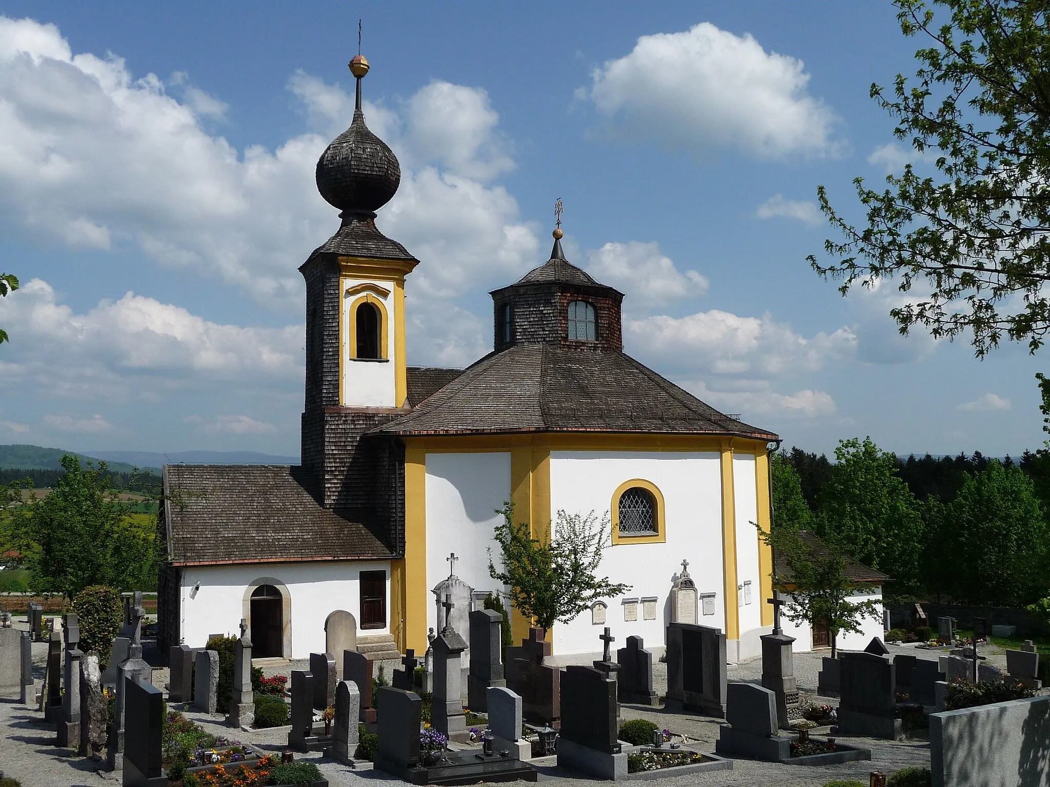
Bründlberg625 mPeakBründlberg, located at the 36-kilometer mark, rewards cyclists with beautiful views of the surrounding nature.
68 km
68 km
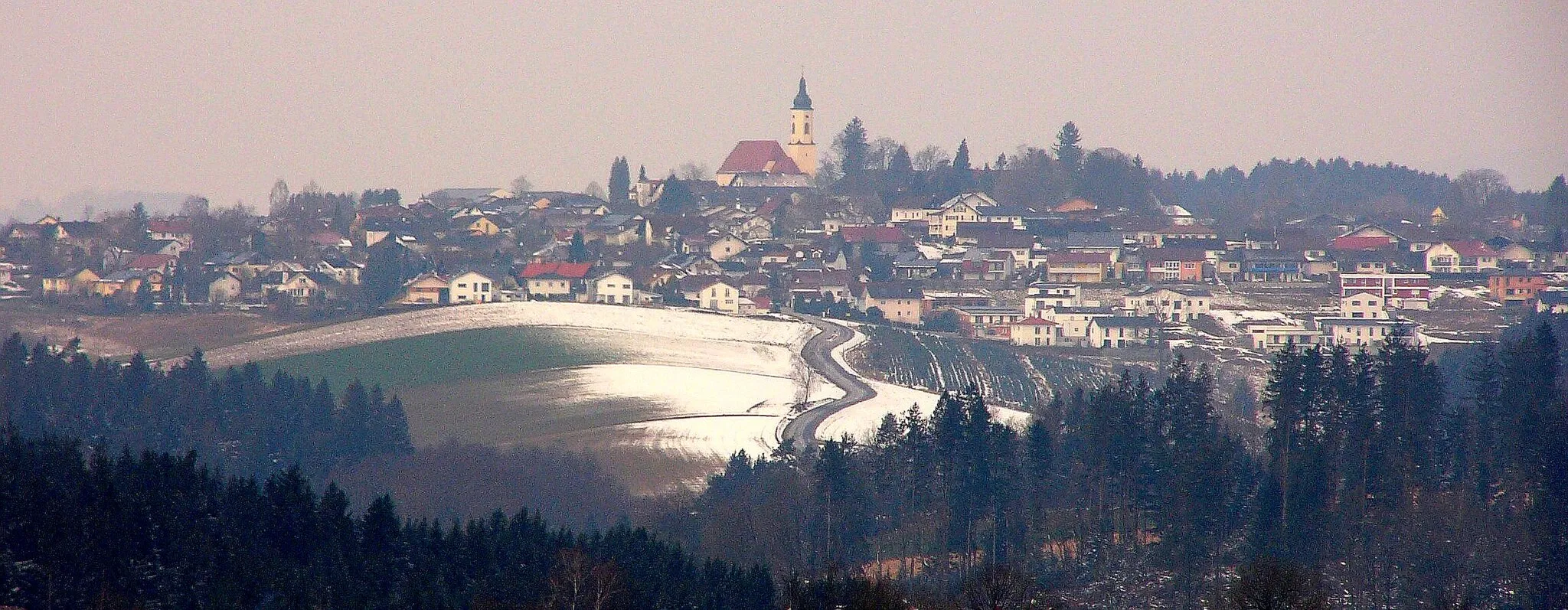
AltenfeldenVillageAltenfelden is found at the 68-kilometer mark and is known for its charming village atmosphere and peaceful surroundings.
76 km
76 km
Lembach im MühlkreisVillageLembach im Mühlkreis, at the 76-kilometer mark, is a perfect spot for a break with its traditional architecture and welcoming atmosphere.
83 km
83 km
Panoramablick PfarrkirchenViewpointPanoramablick Pfarrkirchen offers a stunning panoramic viewpoint at the 83-kilometer mark of the route.
92 km
92 km
OberkappelVillageOberkappel is a highlight at the 92-kilometer mark, known for its idyllic setting and historical landmarks.
99 km
99 km
LämmersdorfVillageLämmersdorf, located at the 99-kilometer point, offers a peaceful retreat surrounded by nature.
102 km
102 km
Finish: Untergriesbach Village centerUntergriesbach: Discover cycling heaven in Niederbayern.
Cycling routes from Untergriesbach:
Untergriesbach Scenic Gravel Ride Untergriesbach Adventurous Gravel Experience Untergriesbach Road Loop Burg Vichtenstein Road Tour Untergriesbach Gravel Adventure Untergriesbach Gravel Adventure Untergriesbach Panorama Route Untergriesbach Short Gravel Loop Kellberg Scenic Ride Untergriesbach Loop Untergriesbach Gravel Adventure Untergriesbach to Schwarzenberg am Böhmerwald
Cycling routes nearby: