Escape to the tranquil landscapes of Bad Kohlgrub in Oberbayern, Germany, and embark on memorable cycling adventures.
Cycling routes from Bad Kohlgrub
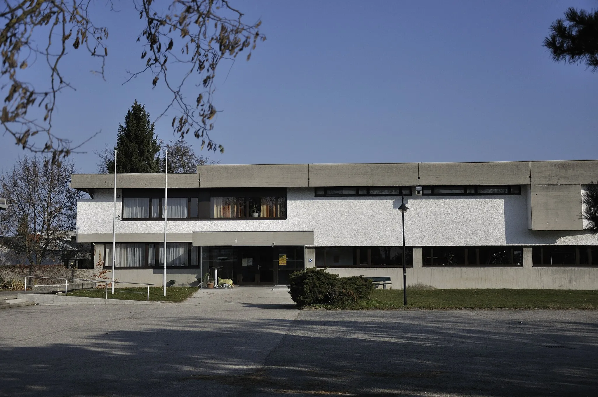
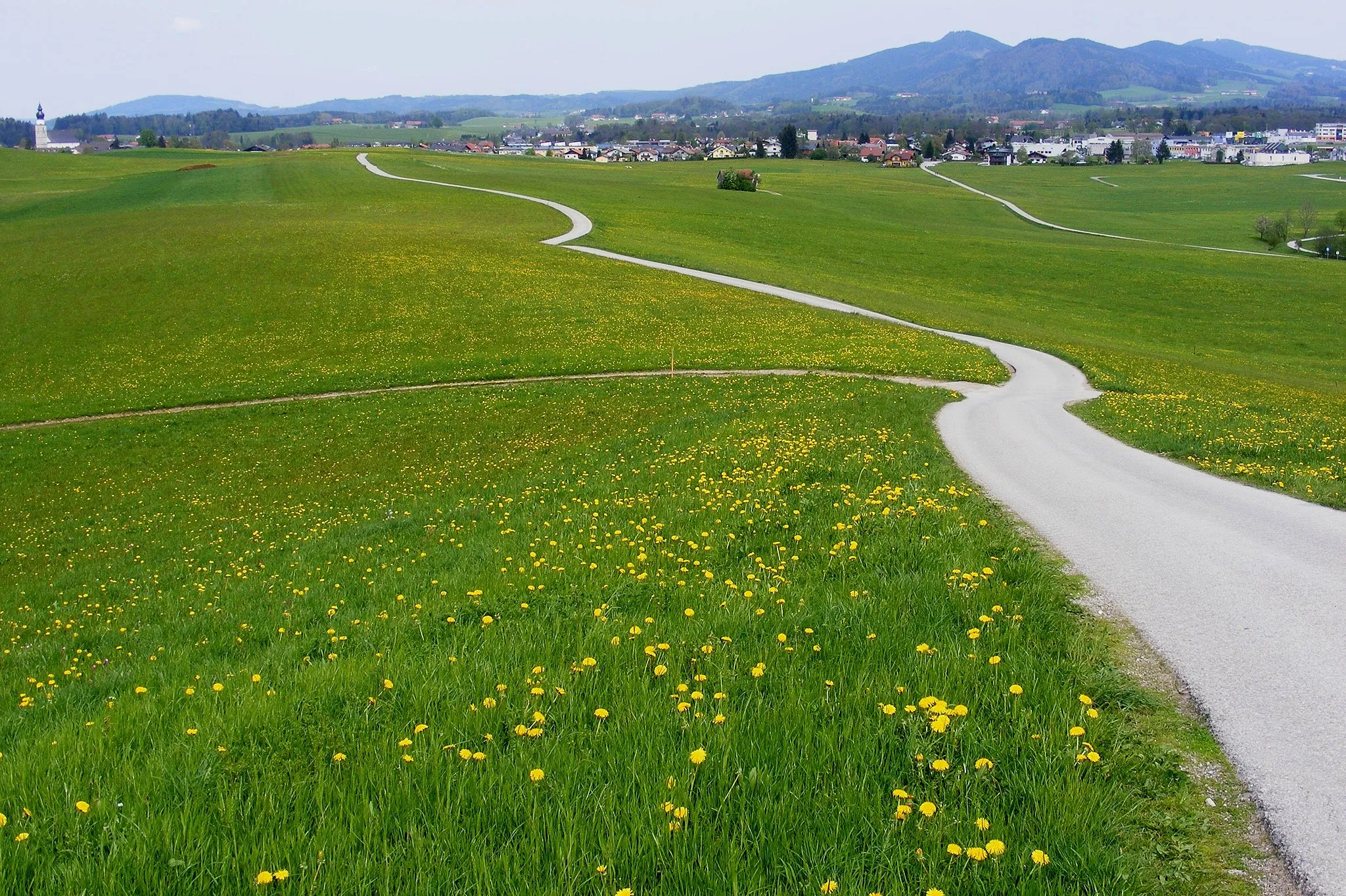
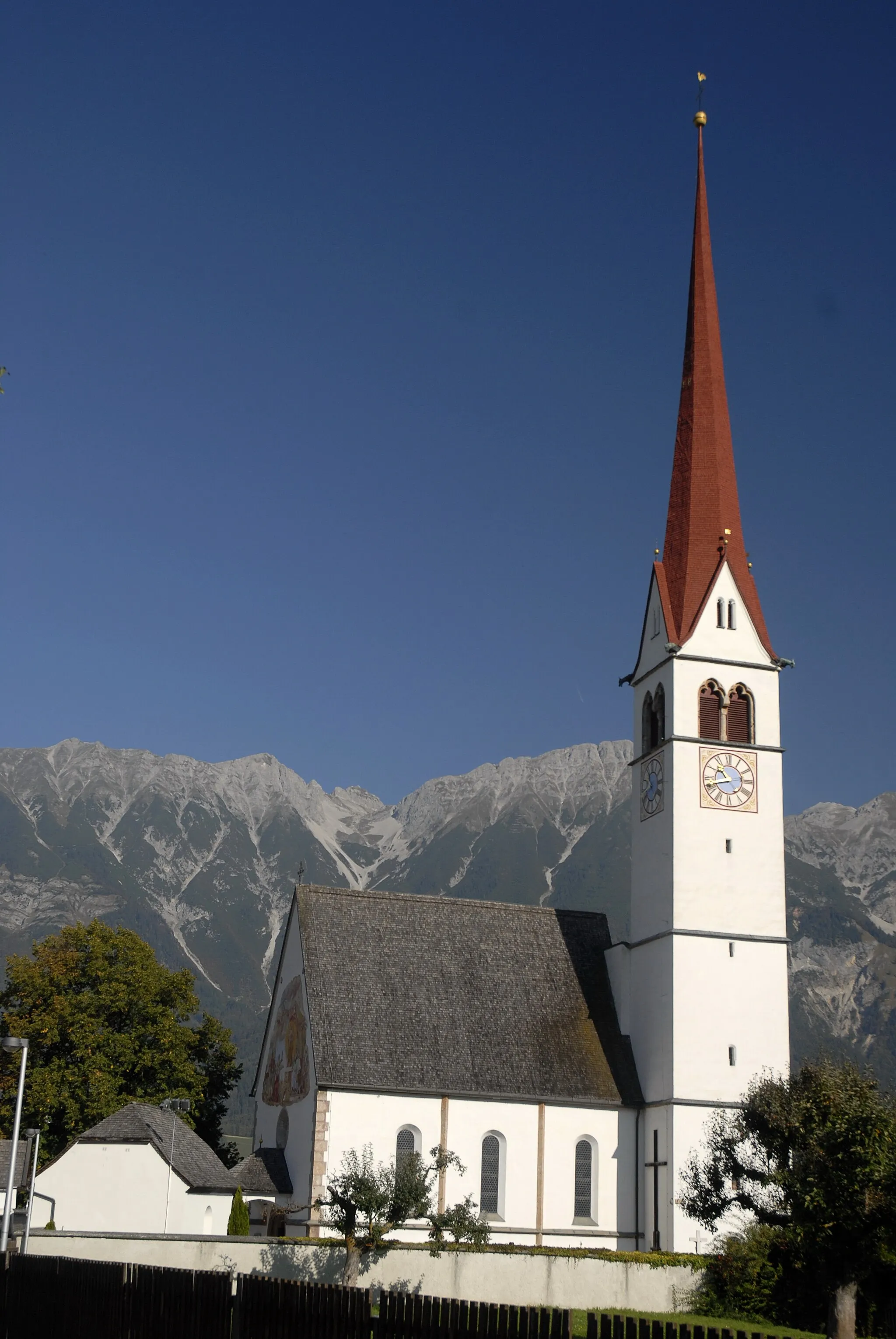
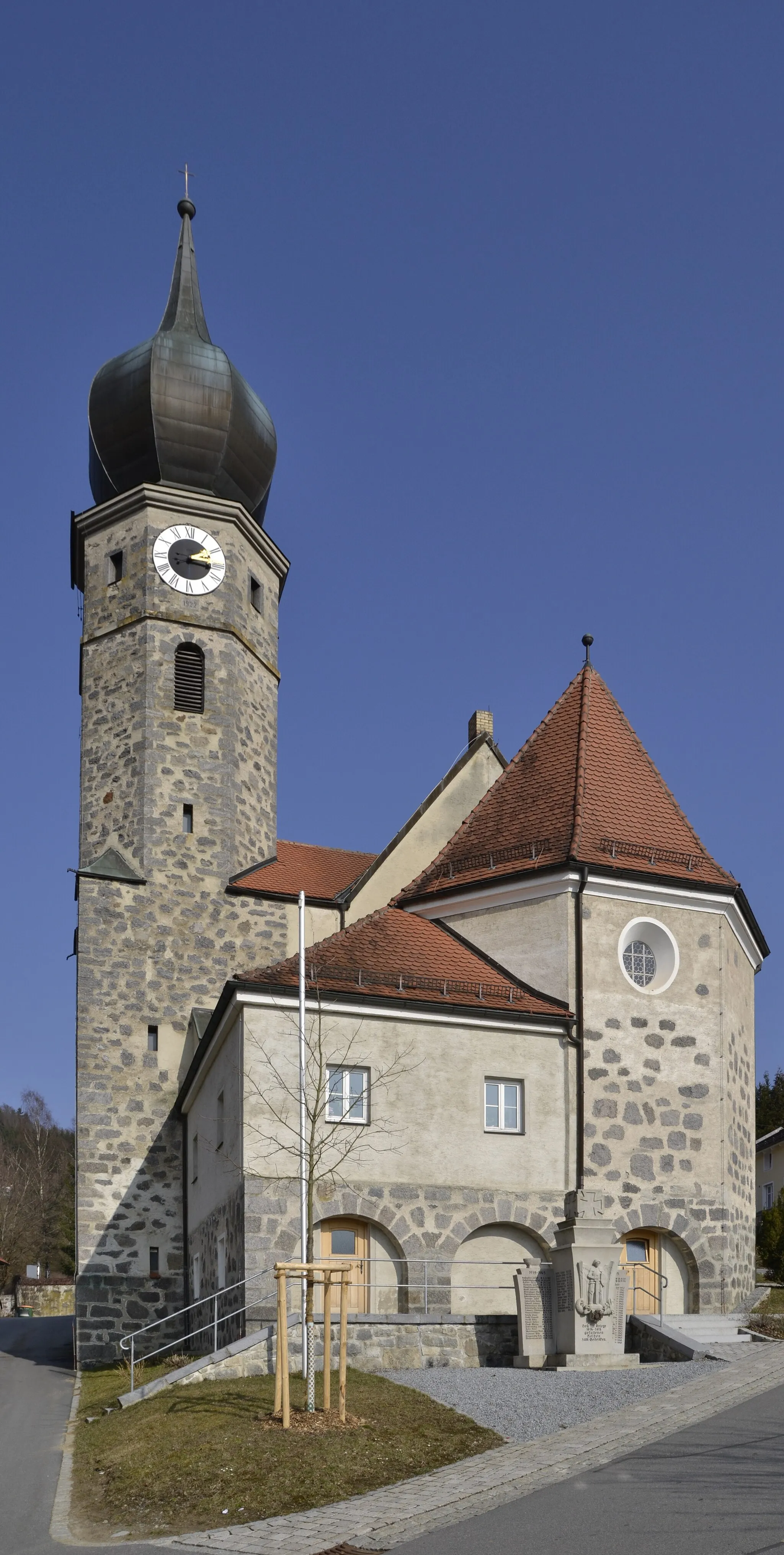
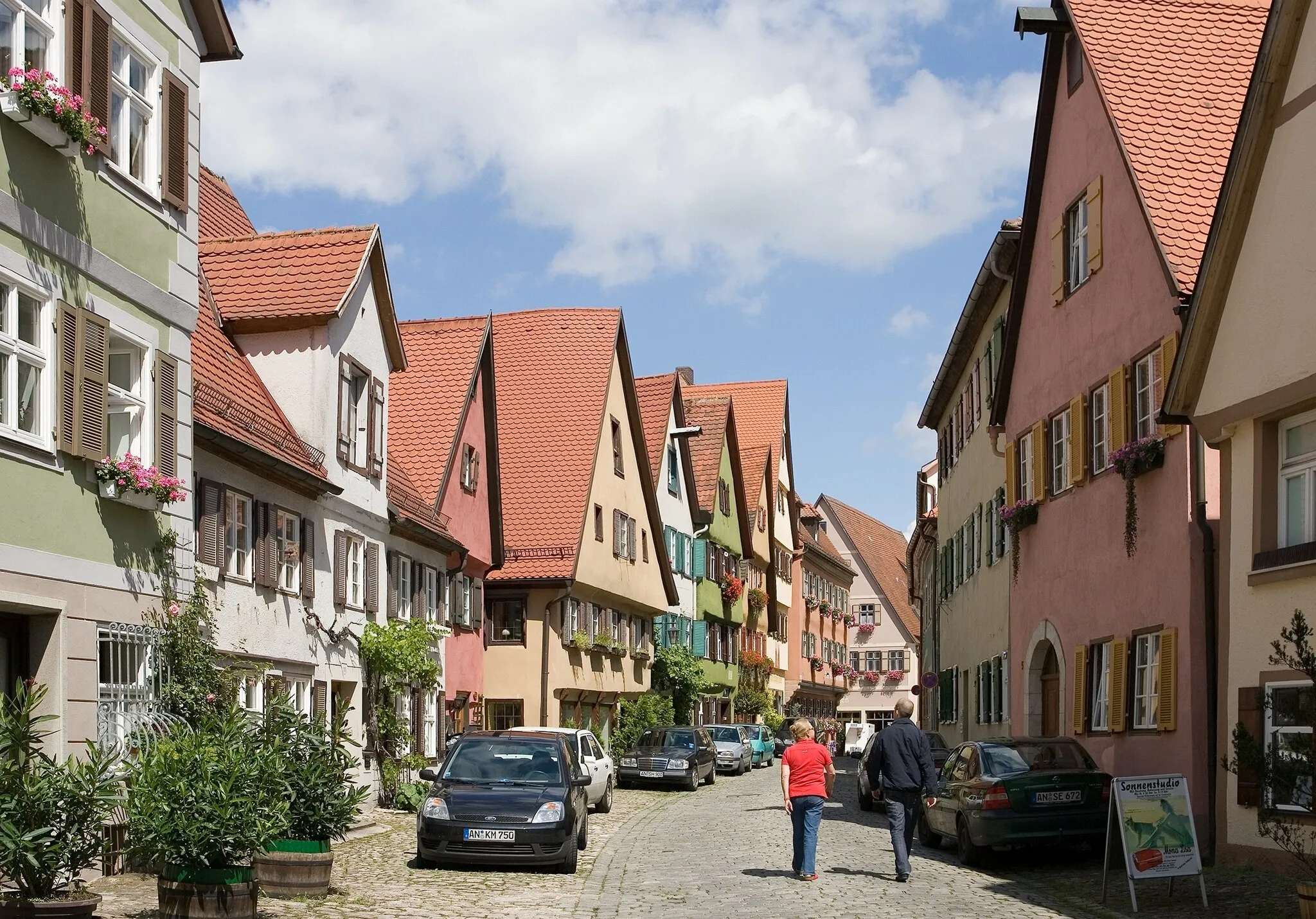
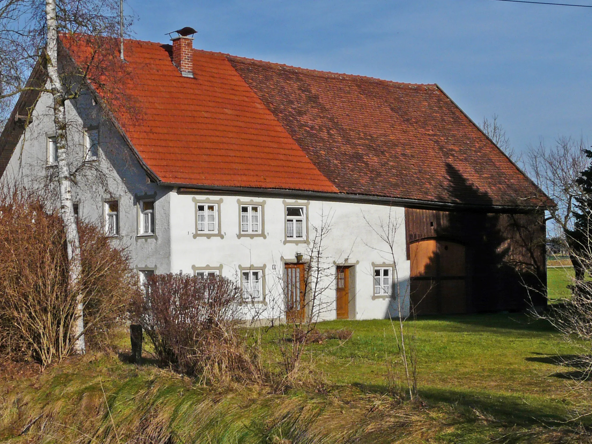
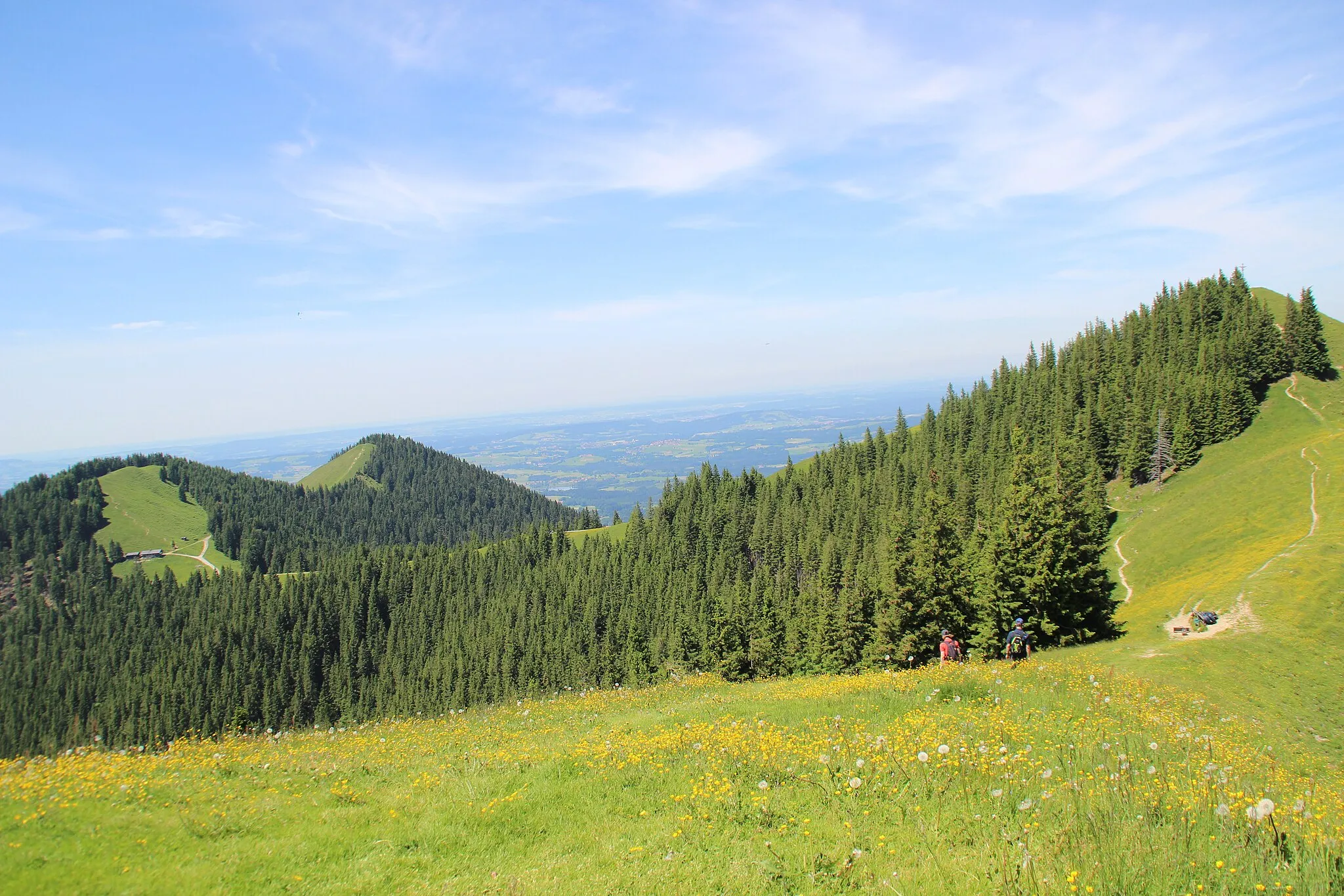
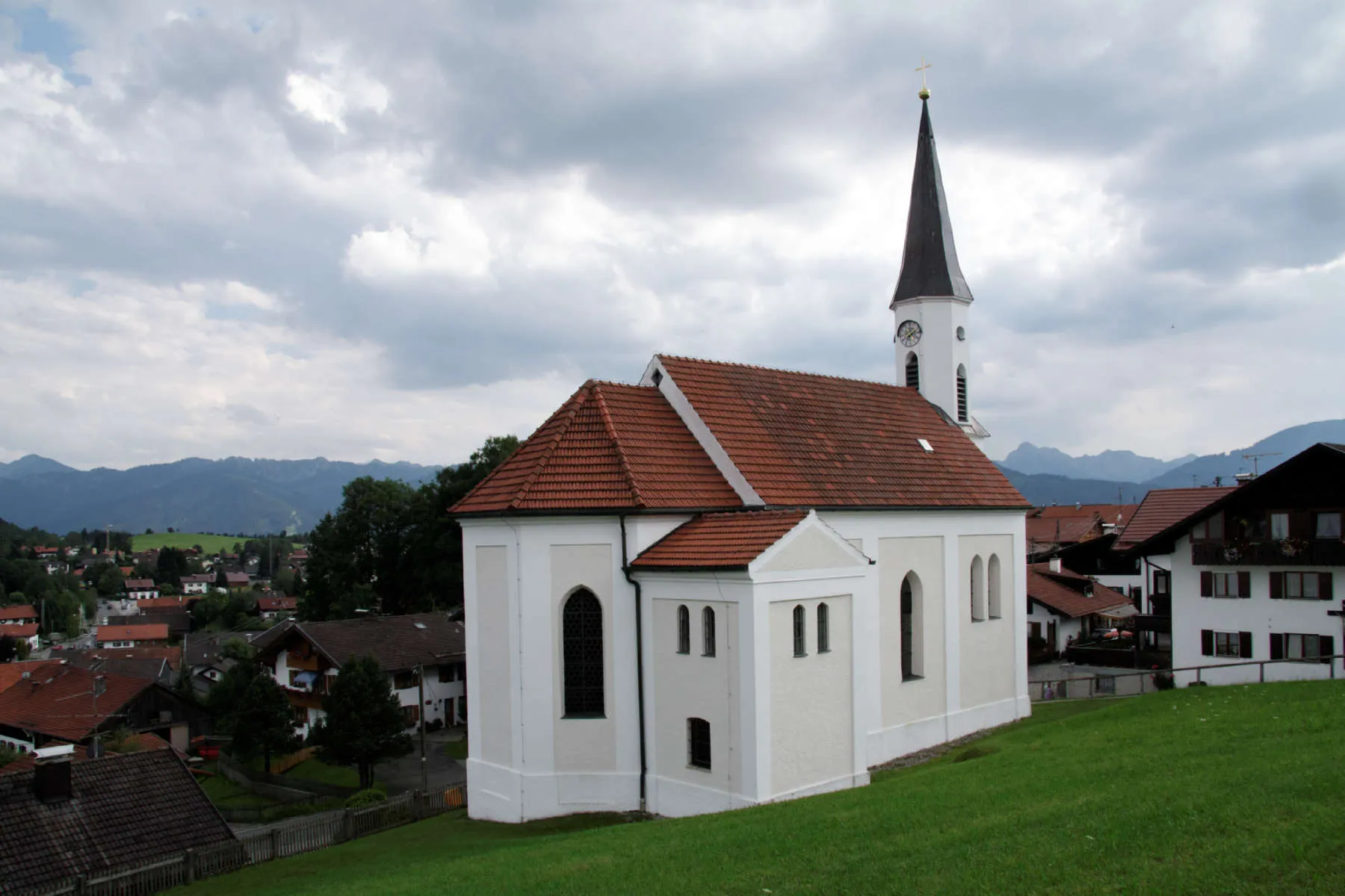
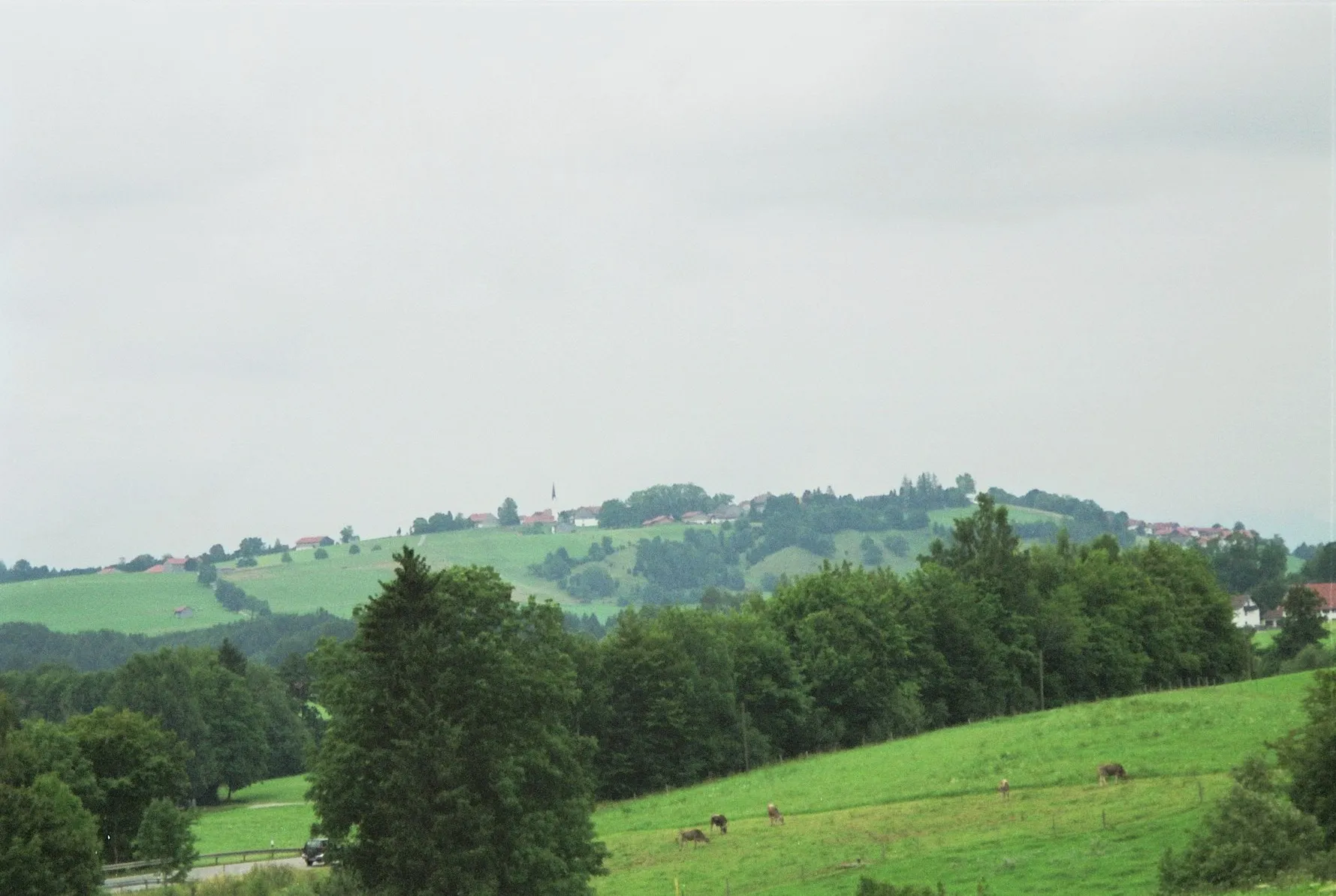
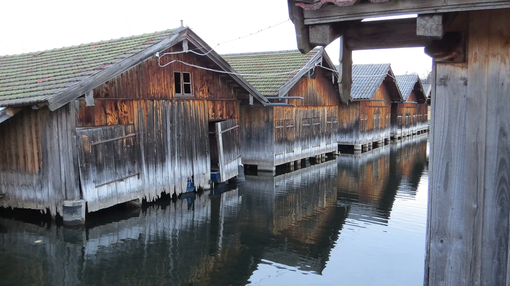
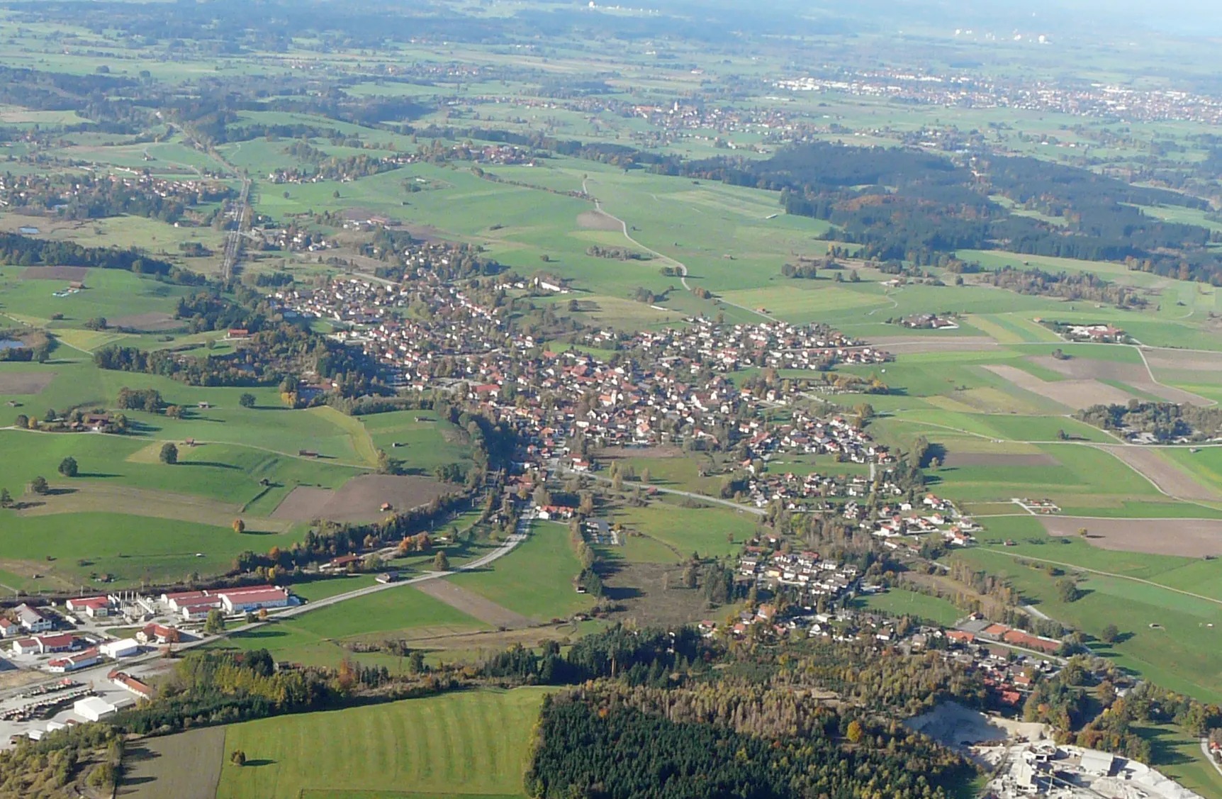
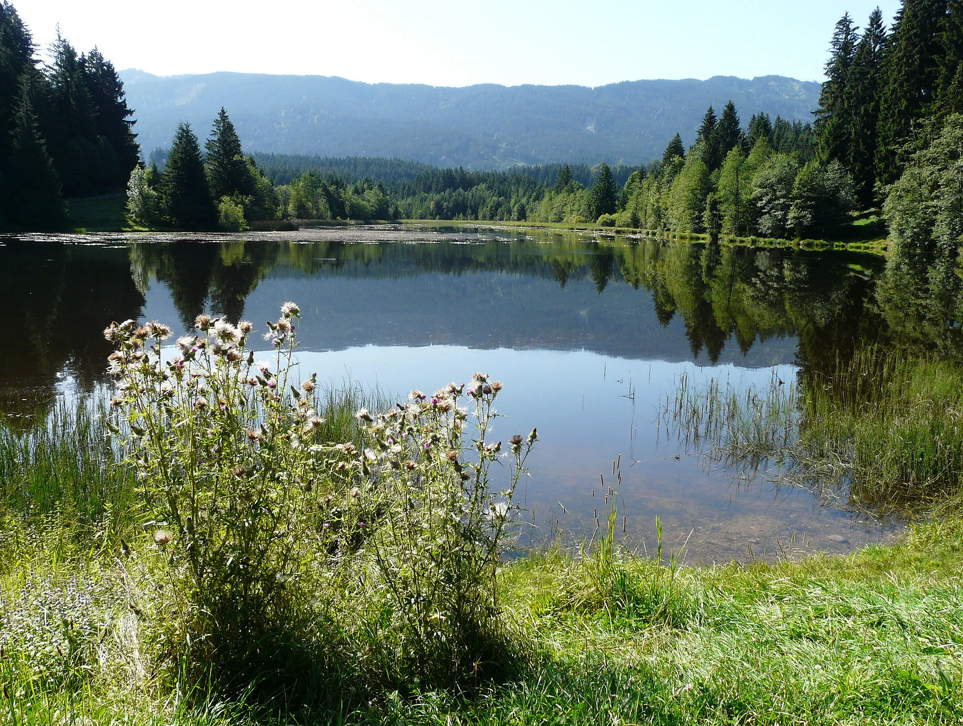
Bad Kohlgrub, located in Oberbayern, Germany, is a charming locality that offers excellent cycling opportunities amidst breathtaking natural beauty. Cyclists can explore the picturesque surroundings of Bad Kohlgrub, with its rolling hills, tranquil lakes, and sprawling meadows. The locality is known for its well-maintained cycling routes that cater to all levels of cyclists. One of the must-visit spots for cyclists in Bad Kohlgrub is the famous Saulgrub Hill, a challenging climb that rewards riders with magnificent views at the top. With its peaceful atmosphere and stunning scenery, Bad Kohlgrub is a perfect escape for cyclists seeking a serene cycling experience.
Bavarian Gravel Escape
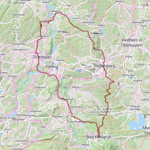
A scenic gravel route through the Bavarian countryside.
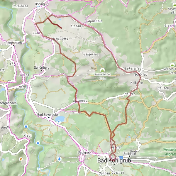
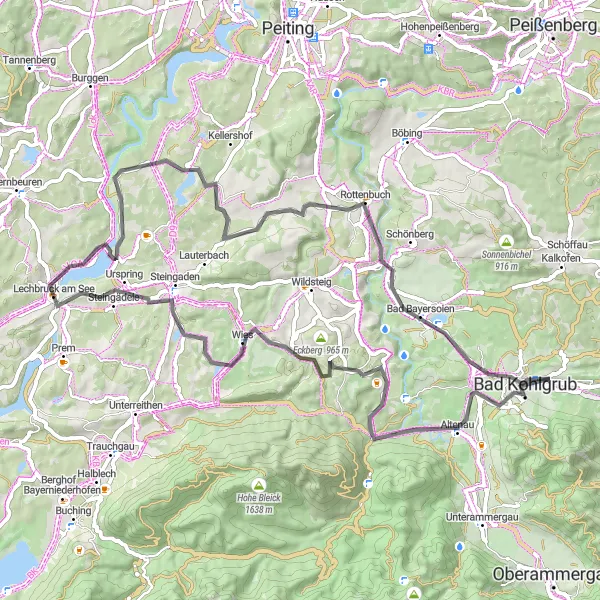
The Bavarian Gravel Escape is a scenic gravel cycling route starting near Bad Kohlgrub. With a distance of 85 km and an ascent of 1069 m, this route takes riders on a journey through the charming Bavarian countryside. Highlights along the route include the Gotthelf Linde, Rottenbuch, Hohenfurch, Guggenberg, Merauthberg, Schweinberg, Kalkofen. The Gotthelf Linde is a historic lime tree with cultural significance, while Rottenbuch is a picturesque village with traditional Bavarian architecture. Hohenfurch offers stunning views of the rolling hills and meadows, and Guggenberg is a peaceful nature reserve with scenic trails. Overall, the Bavarian Gravel Escape is a great option for cyclists looking to experience the beauty of the Bavarian countryside on a gravel adventure near Bad Kohlgrub.
Steigrain Loop
A scenic road cycling route with a challenging ascent.
The Steigrain Loop is a picturesque road cycling route starting near Bad Kohlgrub. With a distance of 48 km and an ascent of 693 m, this route offers both challenging climbs and scenic views. The highlight of the route is Steigrain, a quaint village located at the foot of the mountains. The route also passes through Annaberg, Spatzenhausen, Höhenberg, Hagen, and Hocheck, offering riders a variety of terrains and landscapes to enjoy. Overall, the Steigrain Loop is a great option for cyclists looking for a challenging and scenic ride near Bad Kohlgrub.
Gravel Adventure
A challenging gravel route with scenic landscapes.
The Gravel Adventure is a challenging cycling route starting near Bad Kohlgrub. With a distance of 53 km and an ascent of 646 m, this gravel route offers riders the opportunity to explore scenic landscapes and rural villages. Highlights along the route include Sprittelsberg, Bichelsberg, Habach, Steinberg, Höhenberg, Hagen, Wiesmahdköchel, and Großenast. Sprittelsberg is known for its beautiful meadows and rolling hills, while Bichelsberg offers stunning views of the Bavarian countryside. Habach is a traditional Bavarian village with charming architecture, and Steinberg is home to a historic castle. Overall, the Gravel Adventure is a challenging and scenic option for gravel cycling enthusiasts near Bad Kohlgrub.
Scenic Road Cycling Adventure
Embark on a scenic road cycling adventure in the heart of Oberbayern
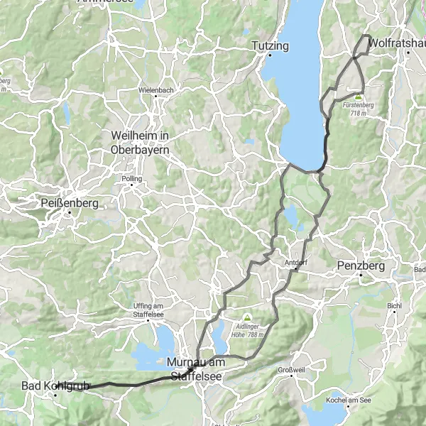
Experience the beauty of Oberbayern on this picturesque road cycling adventure. With a total ascent of 1395 meters and a distance of 99 kilometers, this route takes you through charming villages, stunning lakes, and panoramic views of the Bavarian Alps. Enjoy the diverse landscapes and immerse yourself in the rich history and culture of the region.
Alpine Adventure
A challenging road cycling route with stunning alpine scenery.
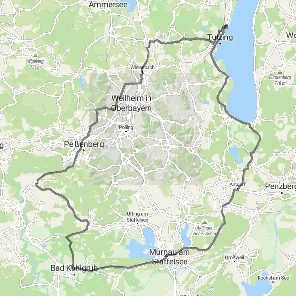
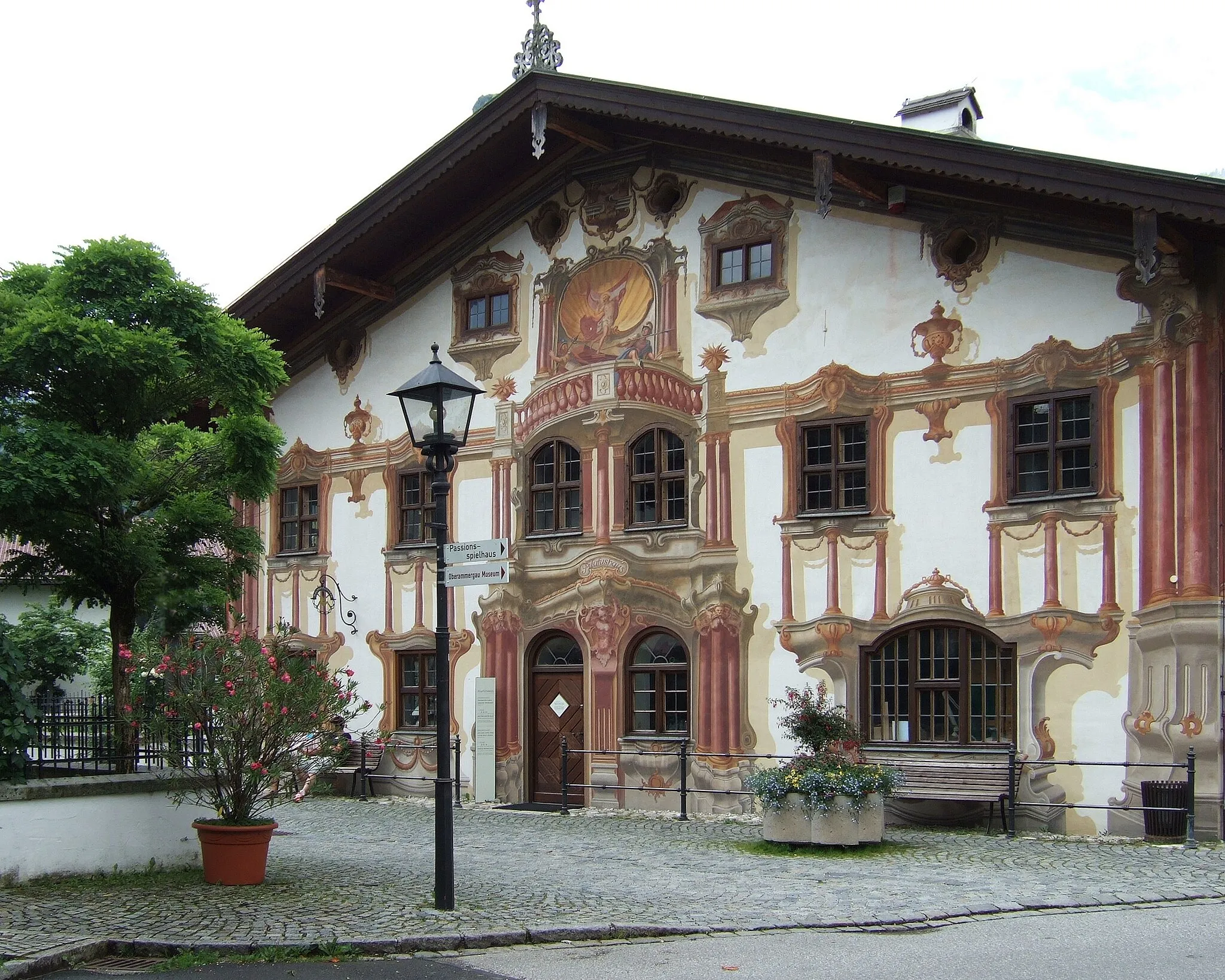
The Alpine Adventure is a challenging road cycling route starting near Bad Kohlgrub. With a distance of 107 km and an ascent of 1210 m, this route offers riders a combination of challenging climbs and breathtaking alpine scenery. Highlights along the route include the Gotthelf Linde, Kalkofen, Böbing, Wielenbach, Ilkahöhe, Unterzeismering, Alpenpanorama, Birnberg, Murnau am Staffelsee, Hocheck, and Steigrain. The Gotthelf Linde is a historic lime tree with cultural significance, while Kalkofen is known for its beautiful forests and hiking trails. Böbing is a charming village with traditional Bavarian architecture, and Wielenbach offers stunning views of the Bavarian Alps. Overall, the Alpine Adventure is an epic road cycling route that showcases the beauty of the alpine region near Bad Kohlgrub.
Road Cycling Exploration
Embark on a thrilling road cycling adventure with stunning alpine panoramas
Embark on a thrilling road cycling adventure through the scenic landscapes of Oberbayern. This 100-kilometer route with an ascent of 1076 meters takes you along winding roads, offering breathtaking alpine panoramas at every turn. Explore picturesque villages and enjoy moments of tranquility amidst nature's beauty.
Escape into nature on this idyllic gravel ride in Oberbayern
Discover the tranquil beauty of Oberbayern on this 33-kilometer gravel ride. With a moderate ascent of 533 meters, this route takes you through peaceful forests, charming villages, and scenic landscapes. Enjoy moments of solitude and immerse yourself in the serene atmosphere of nature.
Conquer challenging terrain and spectacular vistas on this gravel adventure
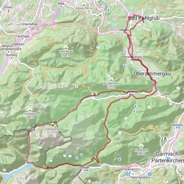
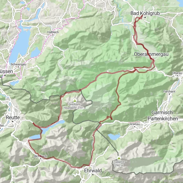
Embark on a thrilling gravel adventure through dramatic landscapes and challenging terrains. This 86-kilometer route with a vertical ascent of 1549 meters promises an exhilarating experience for experienced gravel cyclists. Explore hidden valleys, mountain passes, and picturesque villages along the way.
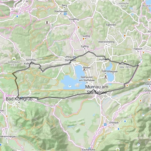
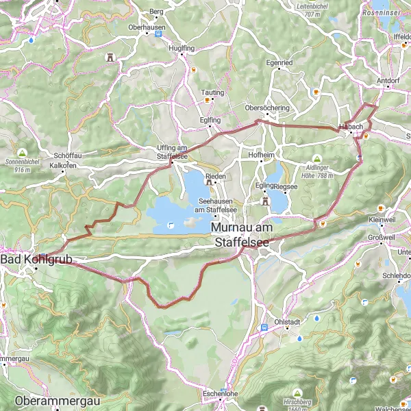
Lake District Ride
A road cycling route showcasing beautiful lakes and stunning landscapes.
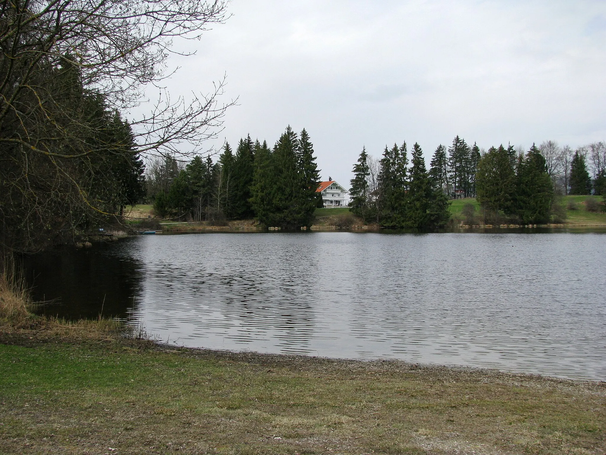
The Lake District Ride is a scenic road cycling route starting near Bad Kohlgrub. With a distance of 66 km and an ascent of 858 m, this route takes riders on a journey through the beautiful lake district of Oberbayern. Highlights along the route include Kraggenau, Sonneneck, Eckberg, Schildschwaig, Lechbruck am See, Deutensee, Roßkopf, Rottenbuch, and Wetzstein. Kraggenau offers tranquil views of the surrounding lakes, while Sonneneck is known for its beautiful gardens and historical sites. Eckberg offers stunning panoramic views of the lakes, and Schildschwaig is a picturesque village with traditional Bavarian architecture. Overall, the Lake District Ride is a scenic road cycling route that showcases the beauty of the lakes and landscapes near Bad Kohlgrub.
Gravel Adventure in Oberbayern
Discover the natural beauty of Oberbayern on this scenic gravel route
Embark on a thrilling gravel adventure through the stunning landscapes of Oberbayern. This route combines challenging ascents with breathtaking views, taking you through picturesque villages and hidden gems along the way. With a total ascent of 2013 meters and a distance of 113 kilometers, this route promises an unforgettable cycling experience.
Cycling routes nearby:

Nearby regions: