A Scenic Cycling Getaway in Germany
Cycling routes from Saulgrub
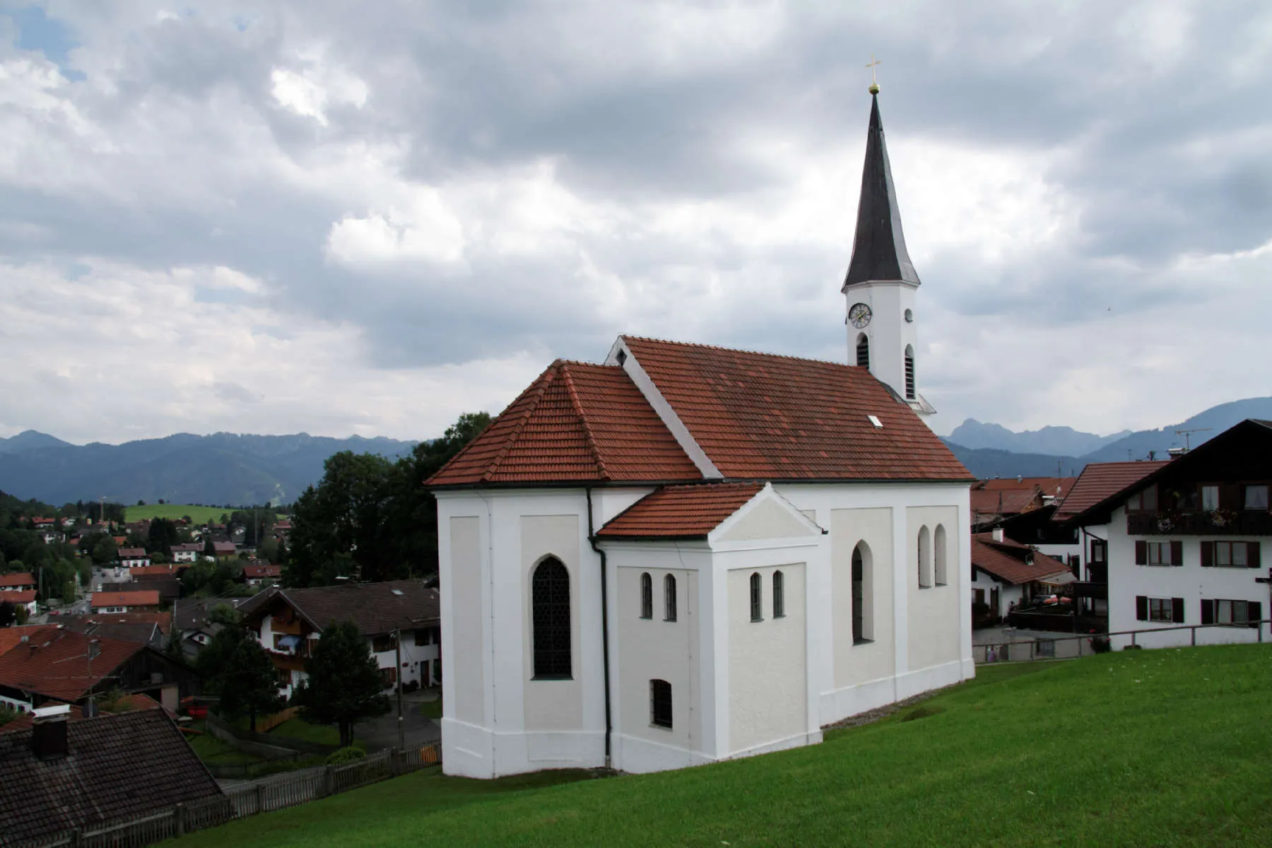
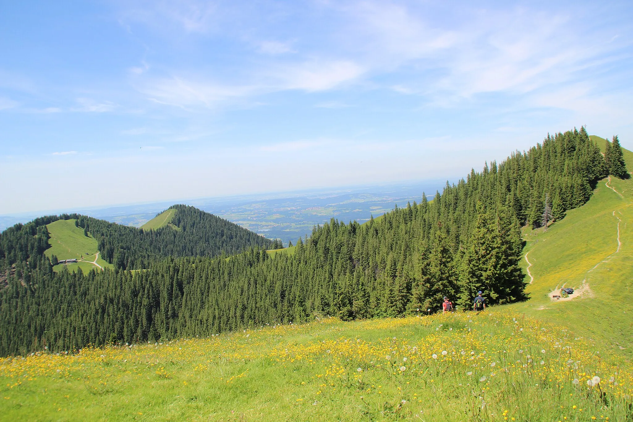
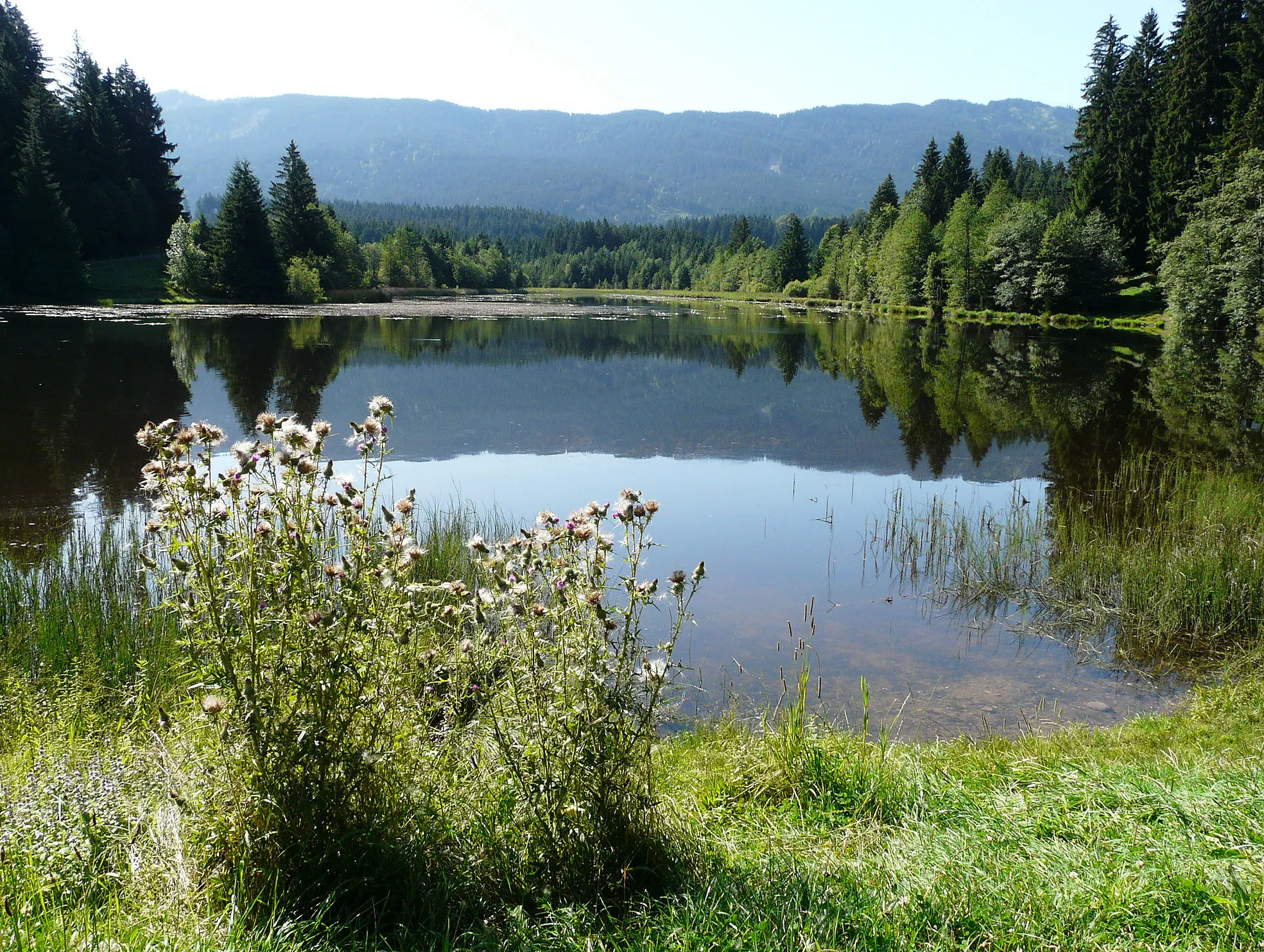
Saulgrub is a locality in the Oberbayern region of Germany. From a cyclist's perspective, the area offers a mix of beautiful countryside scenery and well-maintained roads suitable for cycling. There are no famous cycling-related spots or climbs in the immediate vicinity of Saulgrub. Nevertheless, its picturesque landscapes and peaceful roads make it a delightful destination for leisurely rides. Saulgrub is also known for its excellent hiking trails and alpine views, attracting various tourists. Overall, it ranks 3 on the cyclist's perspective scale.
Embark on a thrilling gravel adventure through Untersochering and the scenic Unterreithen region.
This gravel cycling route near Saulgrub takes you through the beautiful landscapes surrounding Untersochering and Unterreithen. With a total distance of 59 kilometers and an ascent of 1433 meters, it is a challenging ride suitable for experienced gravel cyclists. Highlights along the way include the historic Wetzstein area and the picturesque Müllersbichel. This route is suitable for gravel bikes and provides an exciting and varied cycling experience.
Saulgrub Gravel Route 1
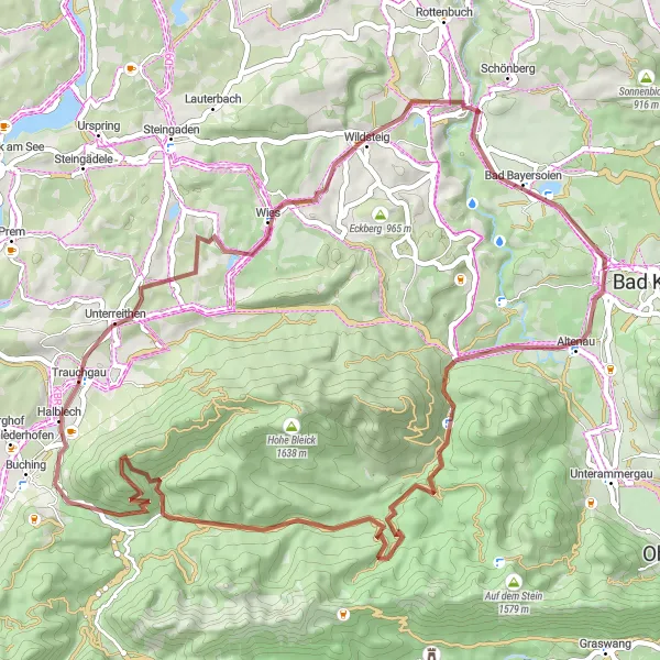
A scenic gravel route with stunning highlights
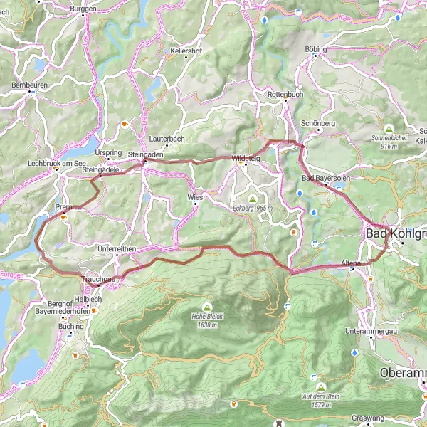
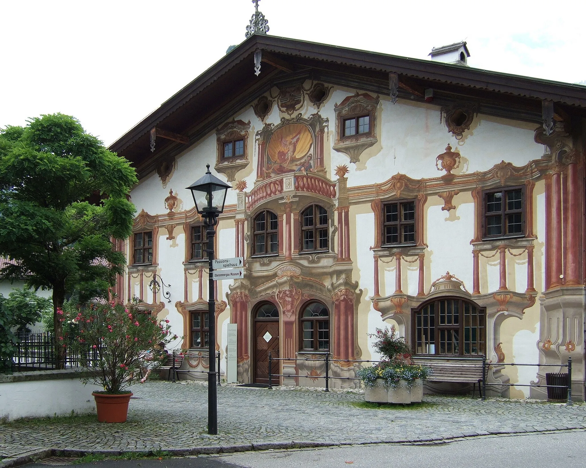
This 57-km gravel route near Saulgrub offers a scenic and adventurous ride through beautiful landscapes. With a total ascent of 779 meters, this route is suitable for well-trained amateurs. The route passes through Altenau, a quaint village known for its traditional timber-framed houses, and Haldemooseck, an impressive lookout point offering panoramic views of the surrounding mountains. Another highlight is Oberreithen, a small mountain hamlet nestled amidst rolling hills. Cyclists will also enjoy passing by Eck, Illach, Roßkopf, Mühlegg, and Bad Bayersoien during the ride.
Explore the picturesque landscapes around Unterammergau on this challenging gravel cycling route.
This gravel cycling route near Saulgrub takes you through the beautiful region surrounding Unterammergau. With a total distance of 95 kilometers and an ascent of 1690 meters, it is a challenging ride suitable for experienced cyclists. The route offers stunning views of the Griesen and Steineberg mountains, and passes through quaint villages like Pindarplatz and Hohenschwangau. Highlights along the way include the historical Döttenbichl area and the majestic Halblech. This route is suitable for gravel bikes and provides a unique and adventurous cycling experience.
An adventurous gravel route with scenic vistas
Embark on a breathtaking 52-km gravel route near Saulgrub, offering adventure and captivating landscapes. With an ascent of 725 meters, this route is suitable for experienced cyclists. Highlights include Kraggenau, a small village enveloped by lush green meadows, and Haldemooseck, a sought-after viewpoint providing unobstructed views of the enchanting surroundings. Another notable spot is Schoberköpfl, known for its panoramic beauty and untouched natural surroundings. Cyclists will also encounter Prem, Steingaden, and Bad Bayersoien during the ride.
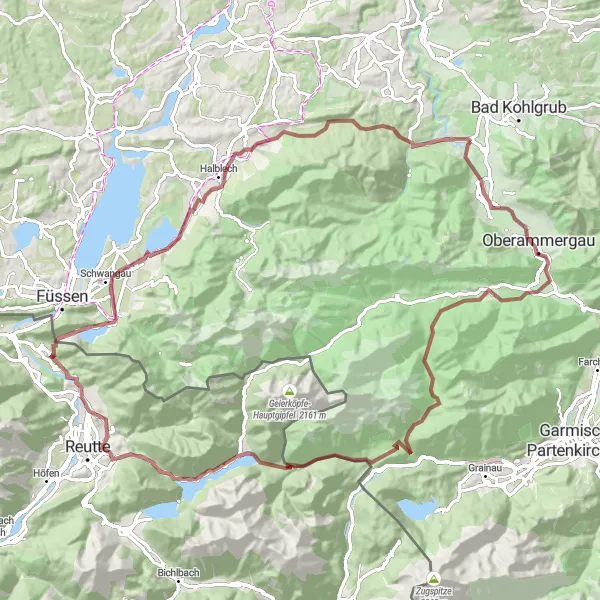
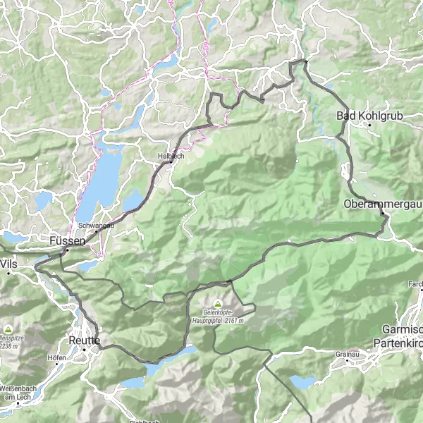
Take on this epic road cycling route near Saulgrub, featuring the iconic Ettaler Sattel and Bad Kohlgrub.
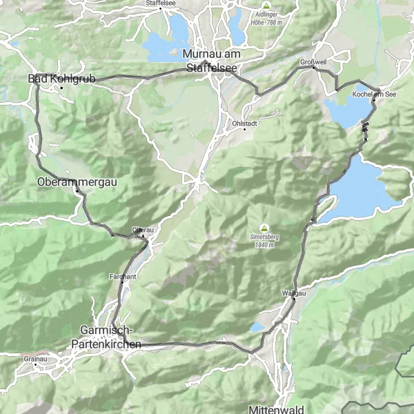
This road cycling route near Saulgrub offers a challenging and epic adventure for experienced cyclists. With a total distance of 99 kilometers and an ascent of 1511 meters, it is a demanding ride suitable for seasoned riders. Highlights along the way include the scenic viewpoints of Bad Kohlgrub and the impressive Ettaler Sattel. This route is suitable for road bikes and provides a test of endurance and panoramic vistas.
An epic gravel route passing through notable spots
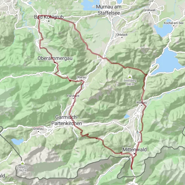
Embark on this epic 100-km gravel route near Saulgrub that offers a thrilling adventure combined with breathtaking views. With a cumulative ascent of 1759 meters, this route requires a higher fitness level. Highlights include Eschenlohe, a charming village famous for its traditional Bavarian architecture, and Vest, a tranquil riverside location surrounded by lush forests. Another notable spot is Maxhütte, an industrial heritage site with intriguing historical significance. Cyclists can also look forward to passing through Wallgau, Mittenwald, Grünkopf, Eckbauer, Oberau, Döttenbichl, and Saulgrub during the ride.
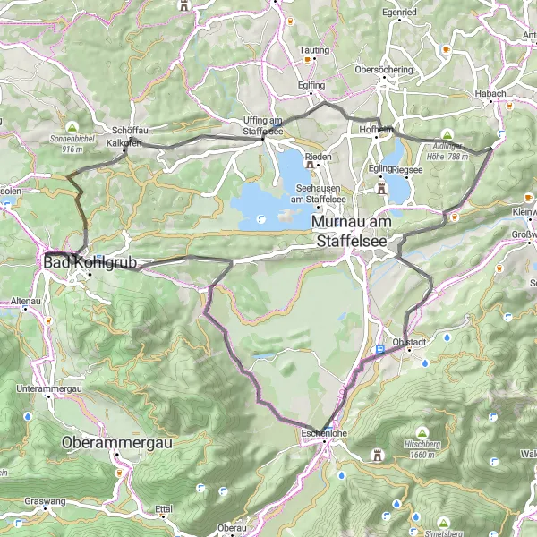
Experience the stunning beauty of Rottenbuch and Bad Bayersoien on this scenic road cycling route near Saulgrub.
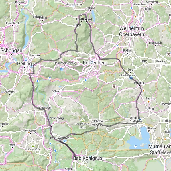
This road cycling route near Saulgrub takes you through picturesque landscapes, including the charming towns of Rottenbuch and Bad Bayersoien. With a total distance of 74 kilometers and an ascent of 808 meters, it is a moderately challenging ride suitable for intermediate cyclists. Highlights along the way include the historic Wetzstein area and the beautiful Merauthberg. This route is suitable for road bikes and provides opportunities for cultural exploration and natural beauty appreciation.
Saulgrub Road Route 1
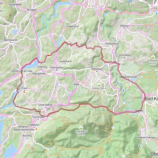
A scenic road route with charming highlights
Take a scenic 64-km road route near Saulgrub, offering stunning vistas and cultural highlights. With an ascent of 828 meters, this route poses a moderate challenge for cyclists. The route passes through Saulgrub, a picturesque village surrounded by rolling hills and offering a glimpse into traditional German architecture. Other highlights on this route include Annaberg, a serene spot with its historic charm, Madloch, a serene village inlet with beautiful mountain views in every direction, and Kraggenau, a hidden gem hidden among lush green meadows. Cyclists will also enjoy passing by Wetzstein, Pullach, Spatzenhausen, Hagen, Hatzenbichl, Schwaigen, and Harrietech during the ride.
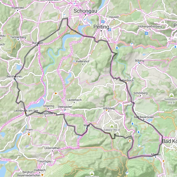
The Alluring Saulgrub Circuit
Through rolling hills and historic bridges, this circuit starting near Saulgrub takes cyclists on an adventure across Oberbayern.
The Saulgrub circuit offers a scenic ride through the enchanting landscapes of Oberbayern. Cyclists will experience a mix of moderate ascents, picturesque towns, and historic highlights along the route. With a distance of 105 kilometers and 1,249 meters of ascent, this route is suitable for well-trained amateurs seeking a moderately challenging ride.
Embark on an exciting road cycling adventure through Lechbruck am See and surrounding areas near Saulgrub.
This road cycling route near Saulgrub takes you through the scenic landscapes surrounding Lechbruck am See. With a total distance of 70 kilometers and an ascent of 860 meters, it is a moderately challenging ride suitable for intermediate cyclists. Highlights along the way include the historic Wetzstein area, the charming Schildschwaig, and the picturesque Rottenbuch. This route is suitable for road bikes and provides a mix of natural beauty and cultural exploration.
Cycling routes nearby:


Nearby regions: