Veitenstein Loop
A gravel cycling route starting from Baunach
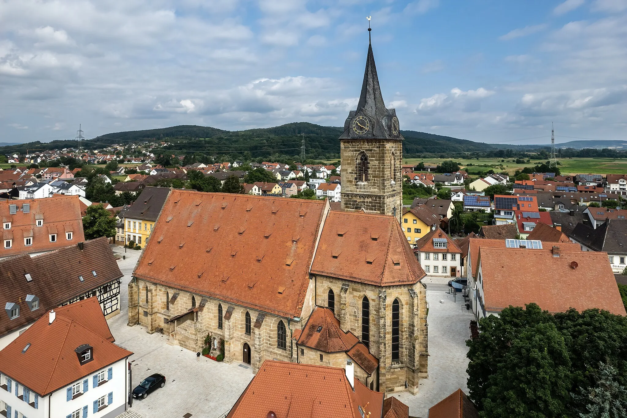
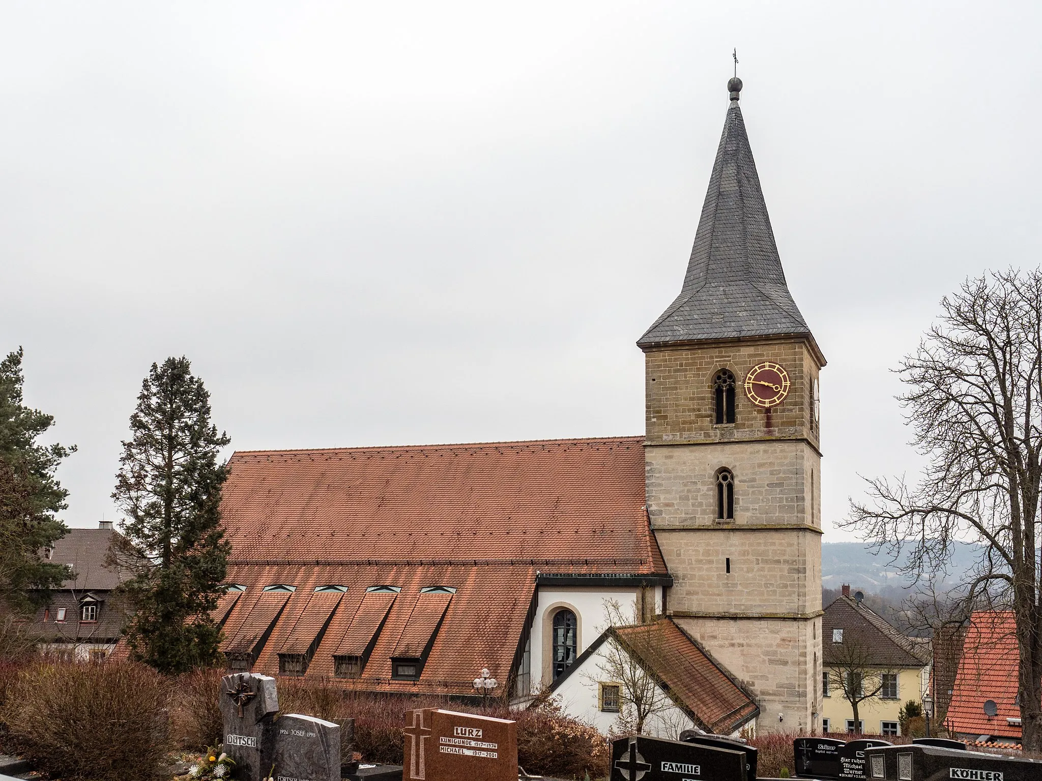
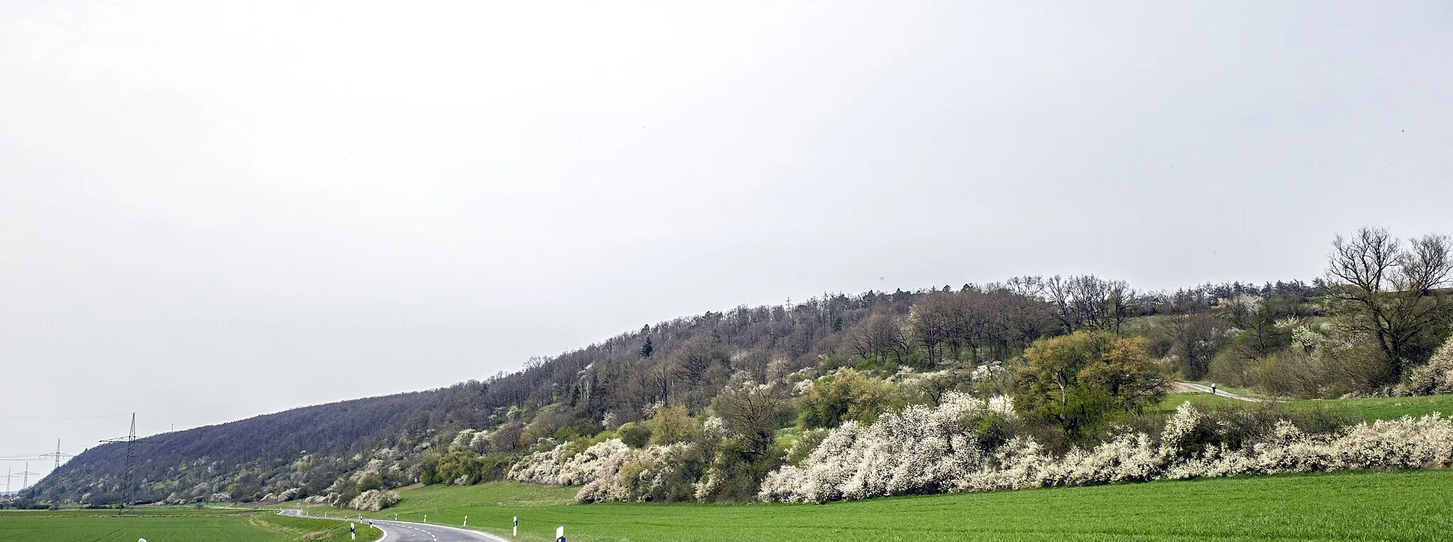
Discover the Veitenstein Loop and explore the picturesque villages of Viereth, Ampferbach, Theinheim, Gleisenau, Ebelsberg, and Schutzhütte Veitenstein.
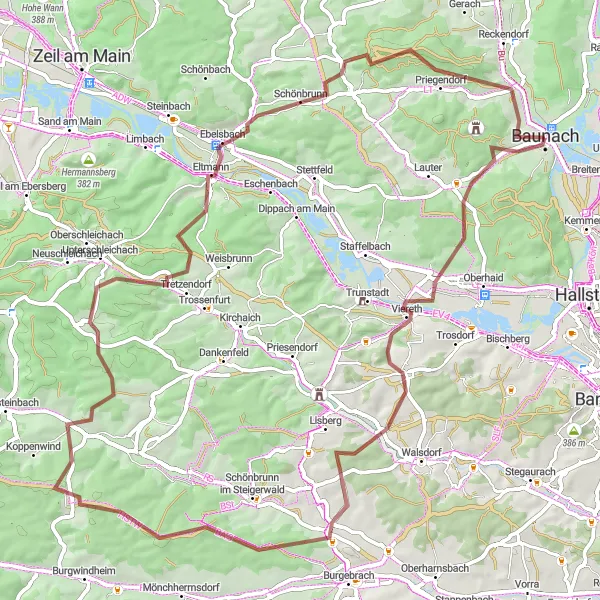
Map
The Veitenstein Loop is a gravel route that takes you through charming villages and beautiful landscapes. With a total ascent of 1189 meters and a distance of 76 kilometers, it provides a moderate challenge for cyclists.
gravel
76 km
1189 m
Tough
Route profile
Highlights on the route
0 km
0 km
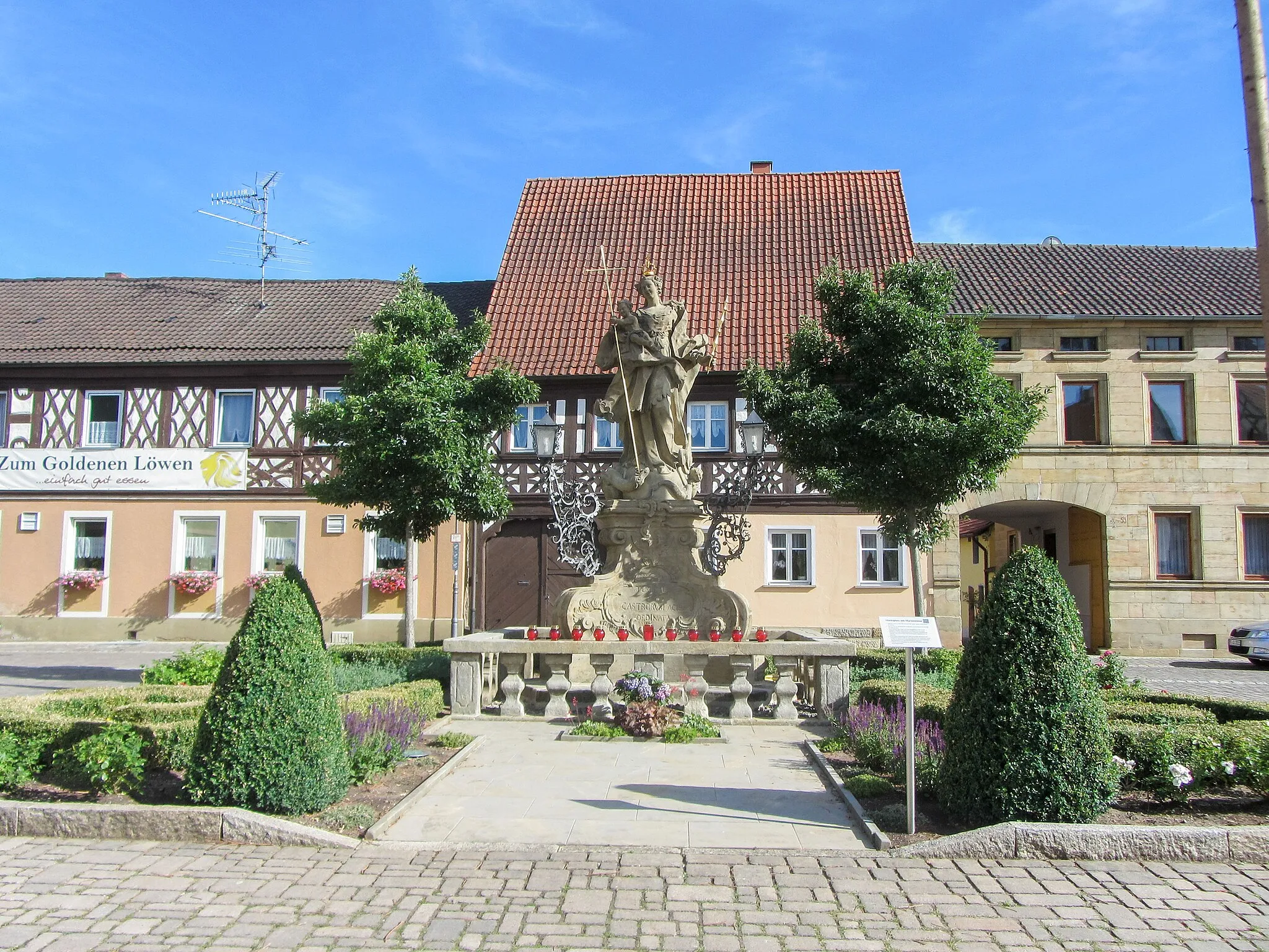
Start: Baunach City centerBaunach: Conquer challenging climbs and soak in picturesque landscapes in Baunach.
Baunach, located in Oberfranken, Germany, offers fantastic cycling opportunities for both road and gravel enthusiasts. The region is characterized by its rolling hills and picturesque countryside, which provide a challenging yet rewarding cycling experience. Baunach is known for its local cycling club, organizing regular rides and events. Additionally, nearby climbs such as Geisberg and Kupferberg offer thrilling challenges for experienced climbers. With well-maintained roads and breathtaking vistas, Baunach caters to cyclists seeking adventure and scenic beauty.12 km
12 km
VierethVillageViereth, located at 12 kilometers on the route, offers stunning views of the surrounding countryside.
24 km
24 km
AmpferbachVillageAmpferbach, situated 24 kilometers into the route, is known for its historic architecture and peaceful atmosphere.
39 km
39 km
TheinheimVillageIn Theinheim, at 39 kilometers on the route, you can take a break by the river and enjoy the tranquility of the area.
58 km
58 km
GleisenauVillageGleisenau, at 58 kilometers, is surrounded by scenic meadows and forests, making it a perfect spot to reconnect with nature.
58 km
58 km
Ebelsberg335 mPeakEbelsberg, also at 58 kilometers, is home to a beautiful castle and offers panoramic views of the region.
66 km
66 km
VeitensteinViewpointVeitenstein is located at 66 kilometers and features a charming shelter where cyclists can rest and admire the surrounding countryside.
66 km
66 km
Schutzhütte VeitensteinShelterSchutzhütte Veitenstein, also at 66 kilometers, is a picturesque refuge nestled amongst green landscapes, offering a peaceful retreat for cyclists.
76 km
76 km
Finish: Baunach City centerBaunach: Conquer challenging climbs and soak in picturesque landscapes in Baunach.
Cycling routes nearby: