Hassberge Explore
A road cycling route starting from Baunach
Embark on the Hassberge Explore route and discover the beautiful Sauberg, Ebern, Rundblick Hassberge, and Hafenpreppach.
Map
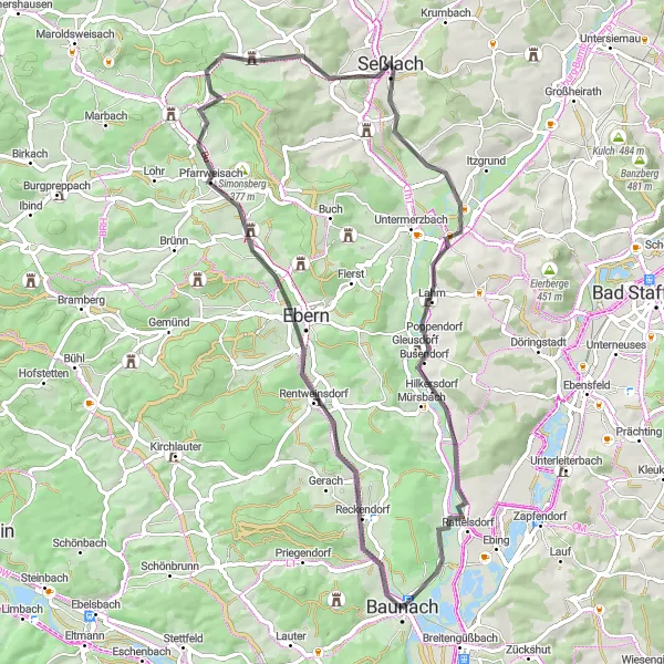
The Hassberge Explore route provides a scenic journey through the rolling hills and charming villages of the Hassberge region. This road route features a moderate ascent of 450 meters over a distance of 64 kilometers, making it suitable for intermediate cyclists.
road
64 km
450 m
Tough
Route profile
Highlights on the route
0 km
0 km
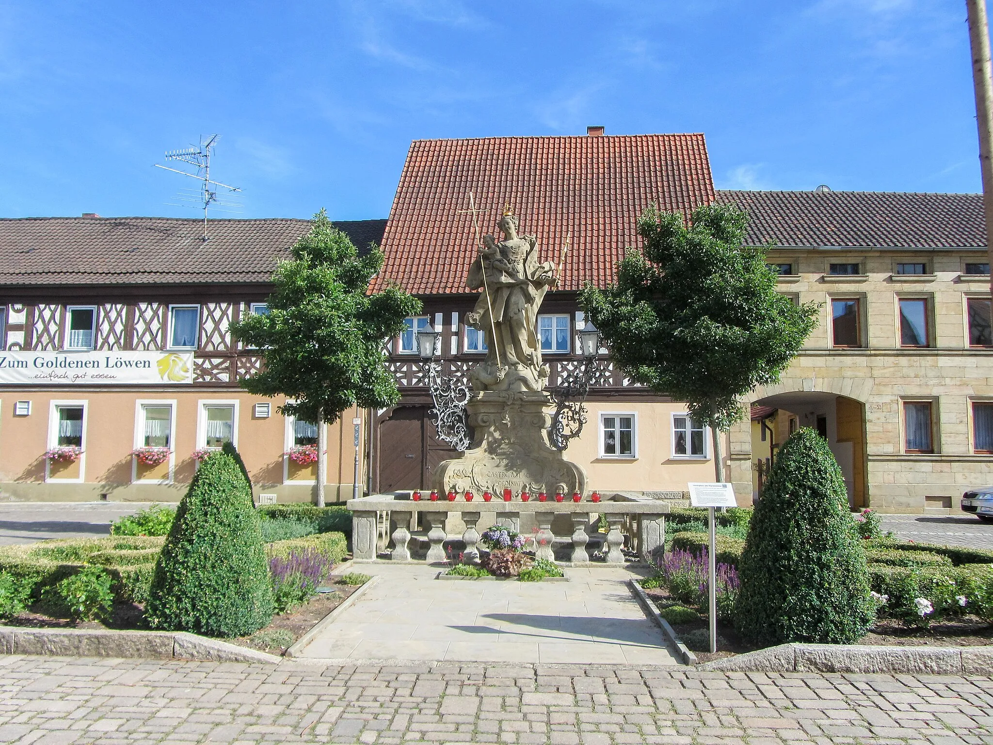
Start: Baunach City centerBaunach: Conquer challenging climbs and soak in picturesque landscapes in Baunach.
Baunach, located in Oberfranken, Germany, offers fantastic cycling opportunities for both road and gravel enthusiasts. The region is characterized by its rolling hills and picturesque countryside, which provide a challenging yet rewarding cycling experience. Baunach is known for its local cycling club, organizing regular rides and events. Additionally, nearby climbs such as Geisberg and Kupferberg offer thrilling challenges for experienced climbers. With well-maintained roads and breathtaking vistas, Baunach caters to cyclists seeking adventure and scenic beauty.7 km
7 km
Sauberg320 mPeakSauberg, just 7 kilometers into the route, offers breathtaking panoramic views of the Hassberge hills.
14 km
14 km
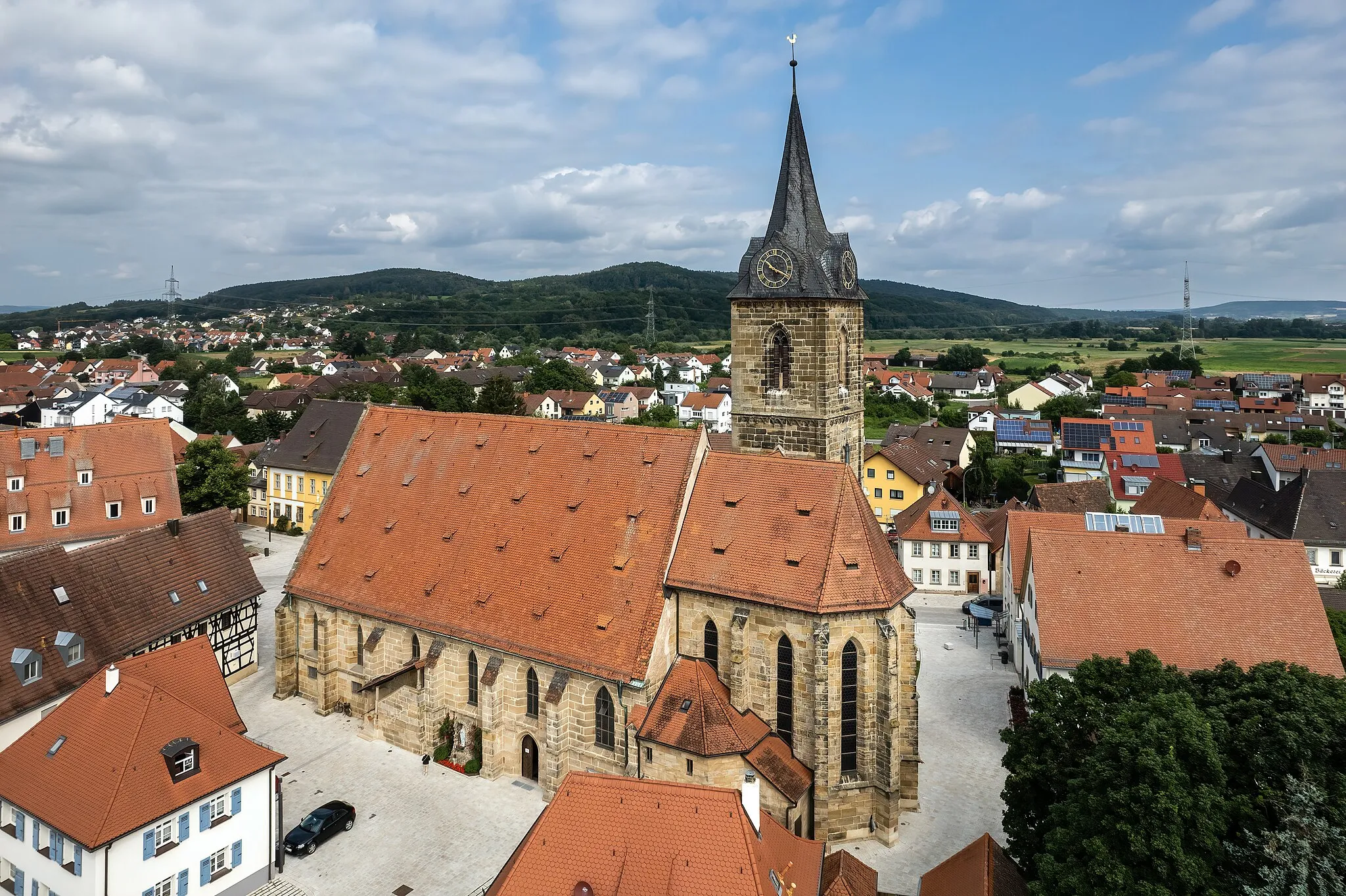
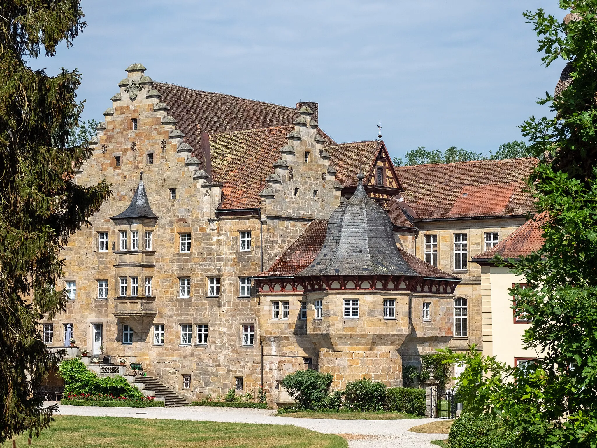
EbernTownDiscover the historic town of Ebern, situated at 14 kilometers on the route, and explore its charming medieval architecture and peaceful atmosphere.
24 km
24 km
Rundblick HassbergeViewpointRundblick Hassberge, at 24 kilometers, offers stunning scenic views of the surrounding hills and valleys.
29 km
29 km
HafenpreppachVillageHafenpreppach, located 29 kilometers into the route, is famous for its picturesque castle ruins and tranquil surroundings.
36 km
36 km
SeßlachTownAt 36 kilometers on the route, Seßlach awaits with its well-preserved medieval walls and enchanting cobblestone streets.
38 km
38 km
Hahn307 mPeakHahn, situated at 38 kilometers, is known for its charming half-timbered houses and scenic rural landscapes.
55 km
55 km
MedlitzVillageMedlitz, at 55 kilometers, offers a peaceful setting surrounded by rolling hills and vast fields.
62 km
62 km
Kraiberg-BlickViewpointKraiberg-Blick, located at 62 kilometers on the route, provides breathtaking views of the Hassberge mountains.
64 km
64 km
BaunachTownBaunach, at 64 kilometers, is a charming town with a rich history, including its well-preserved town hall and medieval towers.
64 km
64 km
Finish: Baunach City centerBaunach: Conquer challenging climbs and soak in picturesque landscapes in Baunach.
Cycling routes nearby: