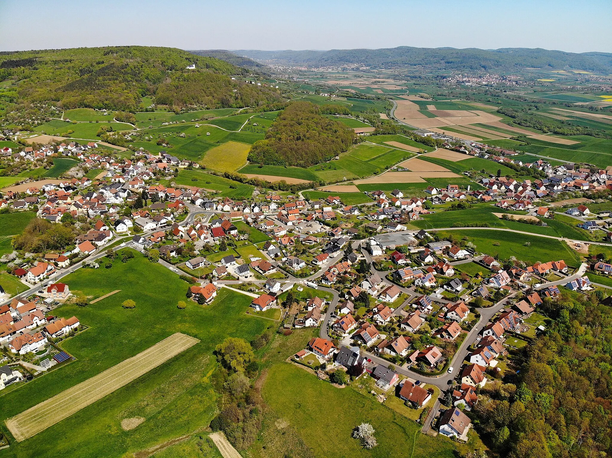
Enjoying the tranquility and natural beauty of Buttenheim on two wheels.
Cycling routes from Buttenheim
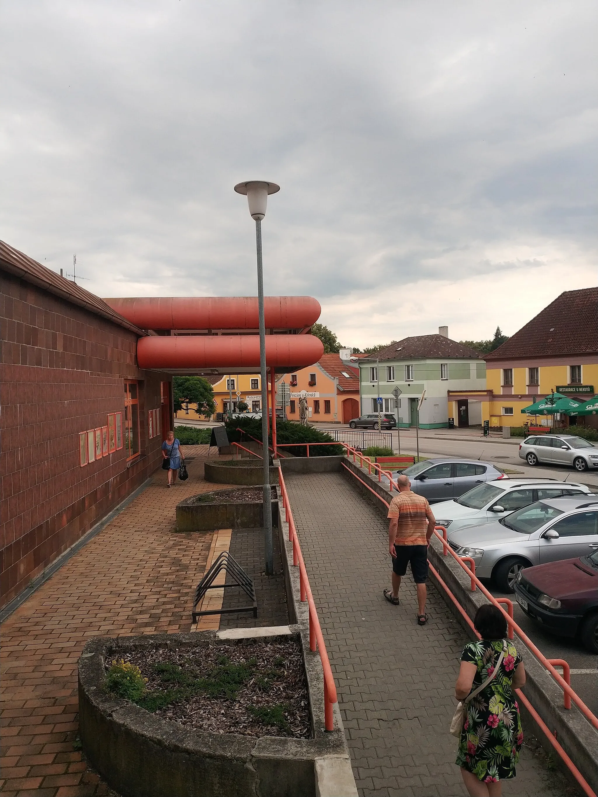
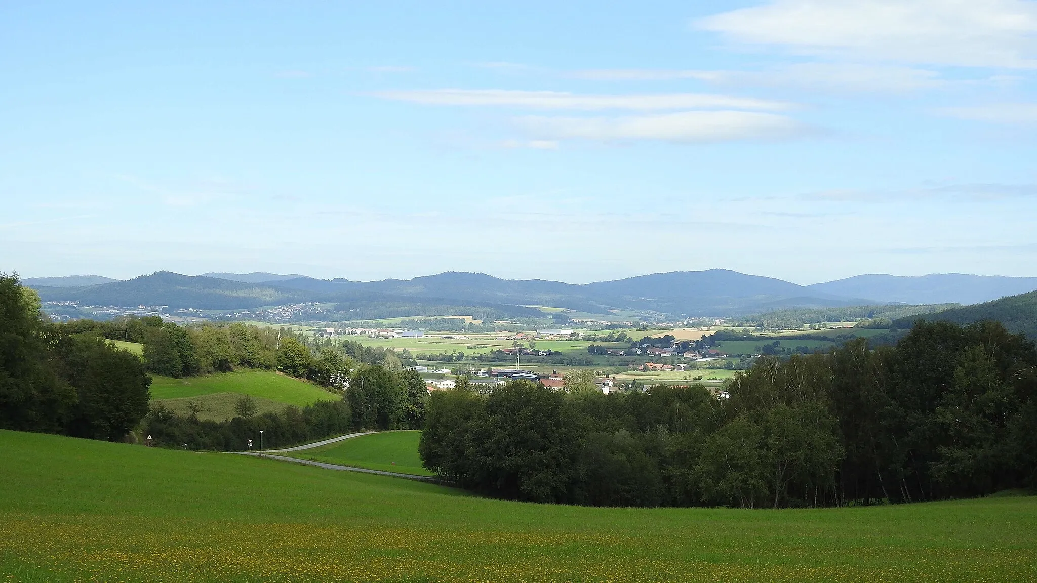
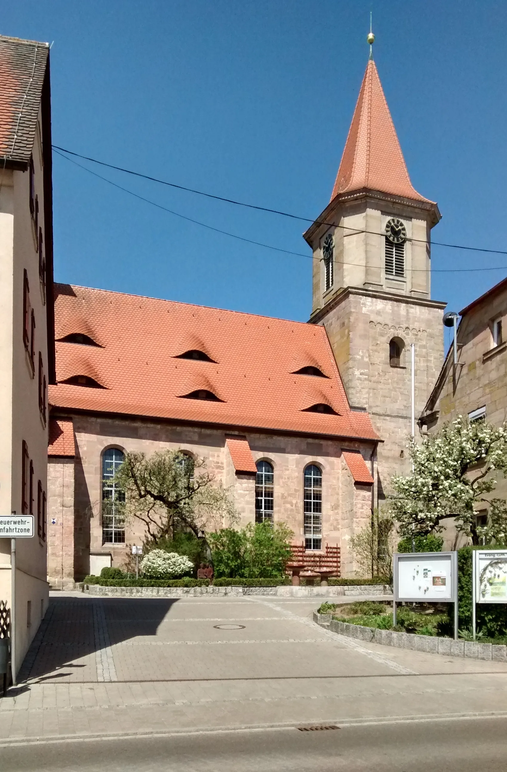
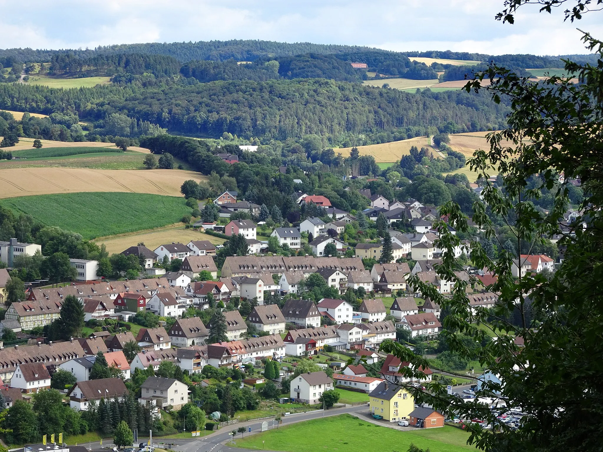
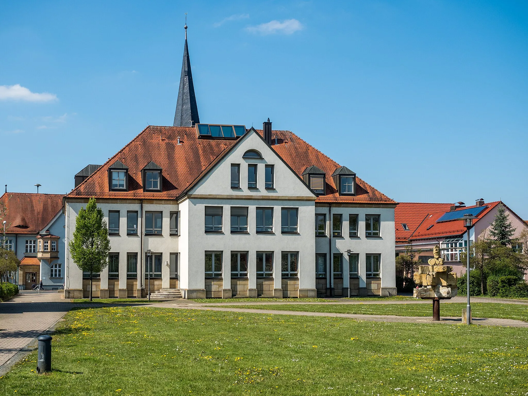
Buttenheim, located in Oberfranken, Germany, is a charming locality nestled in the picturesque countryside. As a cyclist, you can enjoy peaceful rides through rolling hills, vineyards, and quaint villages. Buttenheim provides a variety of cycling routes suitable for both road and gravel cyclists, with options for different skill levels. With a rank of 3, Buttenheim caters to cycling enthusiasts who appreciate tranquil rides amidst stunning natural beauty. Nearby, you can explore the Ochsenkopf mountain range, offering a range of climbs and trails suitable for various cycling preferences.
The Forchheim Adventure
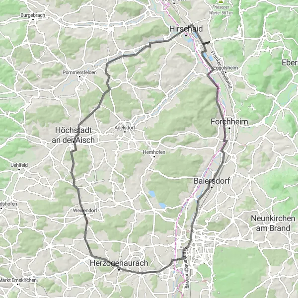
Embark on a scenic road cycling adventure through the beautiful region of Forchheim.
The Forchheim Adventure is a scenic road cycling route that takes you through the picturesque region of Forchheim. With a total distance of 85 kilometers and an ascent of 481 meters, this route is suitable for cyclists of all levels. The highlight of the route is a visit to Forchheim, a charming town with a rich history and a vibrant atmosphere. Other highlights along the way include Erlangen with its beautiful architecture, Wagnersberg with its sweeping vistas, Dachsknock with its unique rock formations, and Höchstadt an der Aisch with its impressive river landscapes. The route also includes a visit to Hirschaid, where you can immerse yourself in the local charm and hospitality. Overall, the Forchheim Adventure offers a delightful cycling experience with plenty of scenic beauty to enjoy.
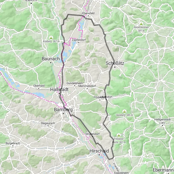
The Bamberg Challenge
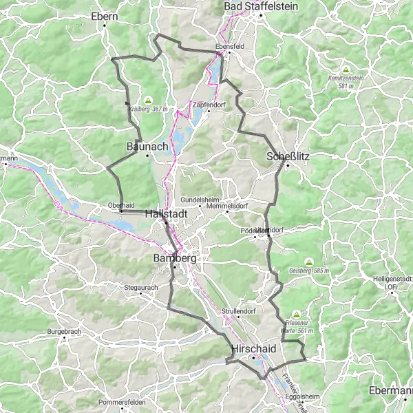
Embark on an epic road cycling adventure that takes you to the city of Bamberg.
The Bamberg Challenge is an epic road cycling route that leads you to the historic city of Bamberg. With a total distance of 106 kilometers and an ascent of 1015 meters, this route is suitable for experienced cyclists. The highlight of the route is a visit to Bamberg, a UNESCO World Heritage Site known for its medieval architecture and charming old town. Other highlights along the way include the Regnitzgrund-Blick viewpoint with its stunning panoramic views, Kreuzberg with its tranquil setting, and Oberleiterbach with its picturesque landscapes. The route also takes you to Scheßlitz, a town with a rich historical heritage, and Wernsdorf, a small village surrounded by meadows and forests. Overall, the Bamberg Challenge is a memorable cycling journey that combines breathtaking vistas with cultural richness.
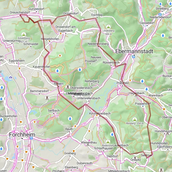
The Ebermannstadt Loop
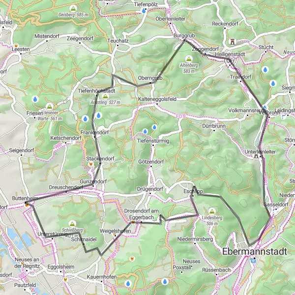
Cycle through stunning landscapes of Ebermannstadt and discover hidden gems along the way.
The Ebermannstadt Loop is a scenic road cycling route that takes you through the beautiful landscapes of Ebermannstadt. With a total distance of 48 kilometers and an ascent of 671 meters, this route is suitable for intermediate-level cyclists. The highlight of the route is a visit to Ebermannstadt, a charming town known for its half-timbered houses and cozy cafes. Other highlights along the way include Frankendorf with its idyllic setting, Dragonerspitz with its panoramic views, Totenstein with its impressive rock formations, and Unterleinleiter with its picturesque landscapes. The route also takes you to the historic town of Ebermannstadt, where you can explore its rich history and enjoy the local cuisine. Overall, the Ebermannstadt Loop offers a delightful cycling experience with plenty of scenic beauty to enjoy.
Discover the scenic route to Bamberg
Embark on a picturesque journey from Buttenheim to the stunning city of Bamberg and back. This round-trip cycling route takes you through breathtaking landscapes, charming villages, and offers captivating views at every turn. The challenging ascent of 441m is well worth the effort as you pedal along gravel paths, experiencing the diverse beauty of the region. This route caters to gravel bike enthusiasts who crave an adventurous cycling experience.

Conquer Dragonerspitz and explore captivating landscapes
This road cycling route takes you on a scenic journey through Oberfranken's stunning landscapes and includes the challenging climb up Dragonerspitz. With a distance of 123 kilometers and an ascent of 1920 meters, this route is recommended for experienced and well-trained cyclists. Highlights along the route include Heiligenstadt i.OFr., Plankenfels Castle, and the breathtaking viewing point of Pegnitz. The overall difficulty of this route is rated as 5 out of 5, given the long distance and demanding climbs. The route has an epicness rating of 4 out of 5, highlighting the captivating scenery and the thrilling sense of achievement that comes from conquering Dragonerspitz.
Exploring Nature's Trail
Venture into nature's playground and discover hidden trails
This gravel cycling route takes you on an adventure through the splendid nature trails of Oberfranken. With a distance of 65 kilometers and an ascent of 1049 meters, this route is recommended for well-trained amateur cyclists seeking a unique off-road experience. Highlights along the route include the scenic Eggenberg area, the Wichsenstein rock formation, and a stunning viewpoint at Aussicht Walberla. The overall difficulty of this route is rated as 3 out of 5, as it combines moderate climbs with enjoyable gravel paths. The route has an epicness rating of 3 out of 5, showcasing the thrilling nature trails and the sense of exploration they provide.
Bamberg and the Rolling Hills
A road cycling route through scenic landscapes
Enjoy a road cycling adventure starting near Buttenheim on this 78km route. With an ascent of 569m and a mix of flat stretches and rolling hills, this route offers a moderate challenge for well-trained amateurs. Experience the beauty of the Franconian countryside as you pass through picturesque towns and take in the stunning views. Highlights include the historical town of Bamberg, the Rattelsdorf viewpoint with panoramic views, and the Litzendorf-Blick spot, overlooking the charming village of Litzendorf. This route is perfect for road cyclists seeking a scenic and moderately challenging ride.
Embark on an adventurous gravel ride through Lindesberg and its surrounding areas.
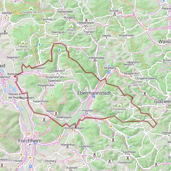
The Lindesberg Loop is an exciting gravel route that offers a thrilling cycling experience. With a total distance of 44 kilometers and an ascent of 816 meters, this route is more challenging than the previous one. The highlight of the route is a visit to Lindesberg, a small village with a rich history and picturesque surroundings. Other highlights along the way include Gunzendorf with its charming architecture, Pretzfeld with its idyllic landscapes, and Brand with its rustic charm. The route also takes you to Kirchehrenbach, a quaint village nestled in the rolling hills of Upper Franconia. Overall, the Lindesberg Loop is a thrilling adventure for experienced gravel cyclists.
The Hirschaid Loop
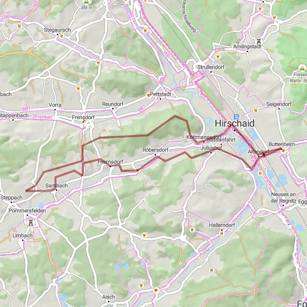
Explore the charming town of Hirschaid on this scenic gravel route.
The Hirschaid Loop is a picturesque gravel route that takes you through beautiful countryside and charming villages. With a total distance of 43 kilometers and an ascent of 414 meters, this route is suitable for cyclists of all levels. The highlight of the route is a visit to Hirschaid, a historic town known for its traditional Bavarian architecture and lively atmosphere. Other highlights along the way include Sambach with its stunning views, Schlüsselau with its idyllic setting, and Seußling with its rich history. Overall, the Hirschaid Loop offers a delightful cycling experience with plenty of scenic beauty to enjoy.

Embark on a challenging road cycling adventure
Get your heart pumping with this exhilarating road cycling route from Buttenheim to Gößweinstein and Betzenstein. With a total ascent of 1638m, this route is perfect for very well-trained amateurs looking for a challenging ride. Enjoy the breathtaking scenery of Franconian Switzerland as you pass through quaint villages and historic landmarks. Highlights along the way include the picturesque town of Gößweinstein with its stunning basilica, as well as the impressive Betzenstein, where you can admire the medieval ruins. This epic route rewards cyclists with unforgettable views and the satisfaction of conquering difficult terrain.
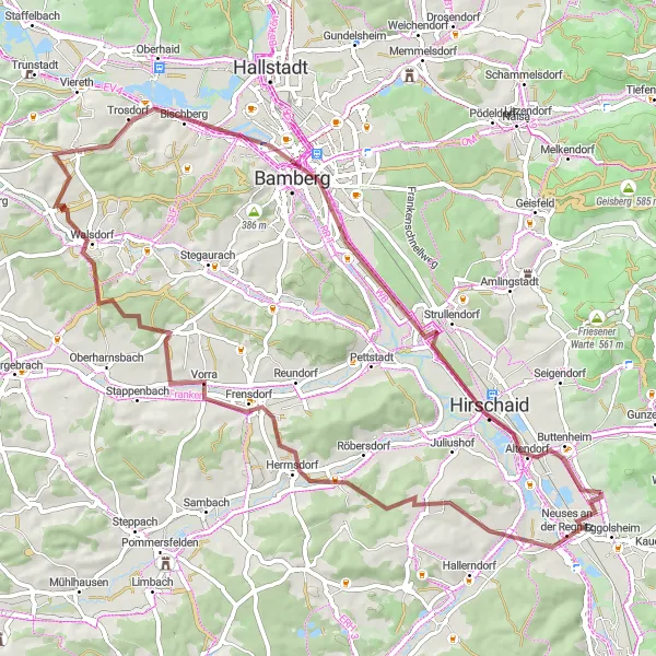
Cycling routes nearby:

Nearby regions: