Cycling Paradise with Proximity to Famous Climbs in Oberfranken, Germany
Cycling routes from Hirschaid
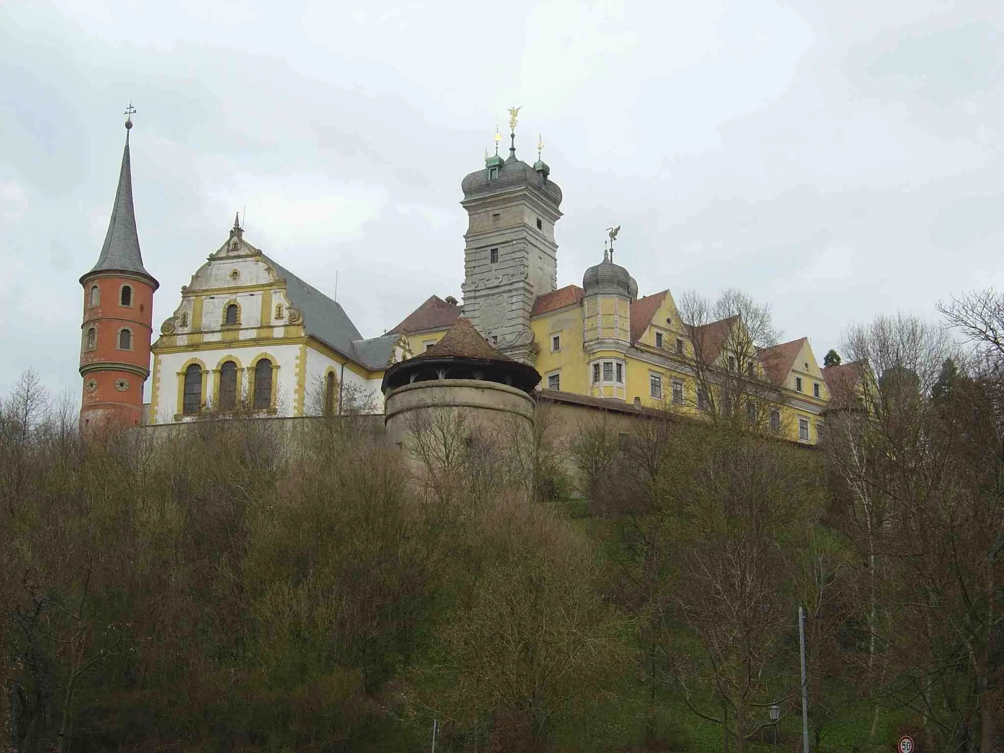
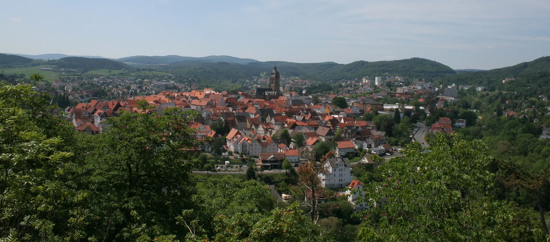
Hirschaid in Oberfranken, Germany, offers diverse cycling opportunities for road and gravel cyclists. The region features well-maintained roads that traverse picturesque landscapes and charming villages. There are also numerous off-road trails and paths suitable for gravel cycling enthusiasts. Cyclists visiting Hirschaid can enjoy a variety of terrains, including rolling hills and forests, providing both scenic and challenging routes. The town is located near notable cycling climbs like the iconic Schloßberg, known for its demanding ascent. With its mix of road and off-road options and proximity to famous climbs, Hirschaid is a cyclist's dream location.
Exploring Oberfranken on Gravel
Get off the beaten path and explore the scenic landscapes of Oberfranken on this gravel cycling route.
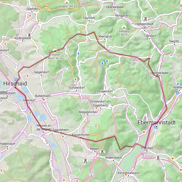
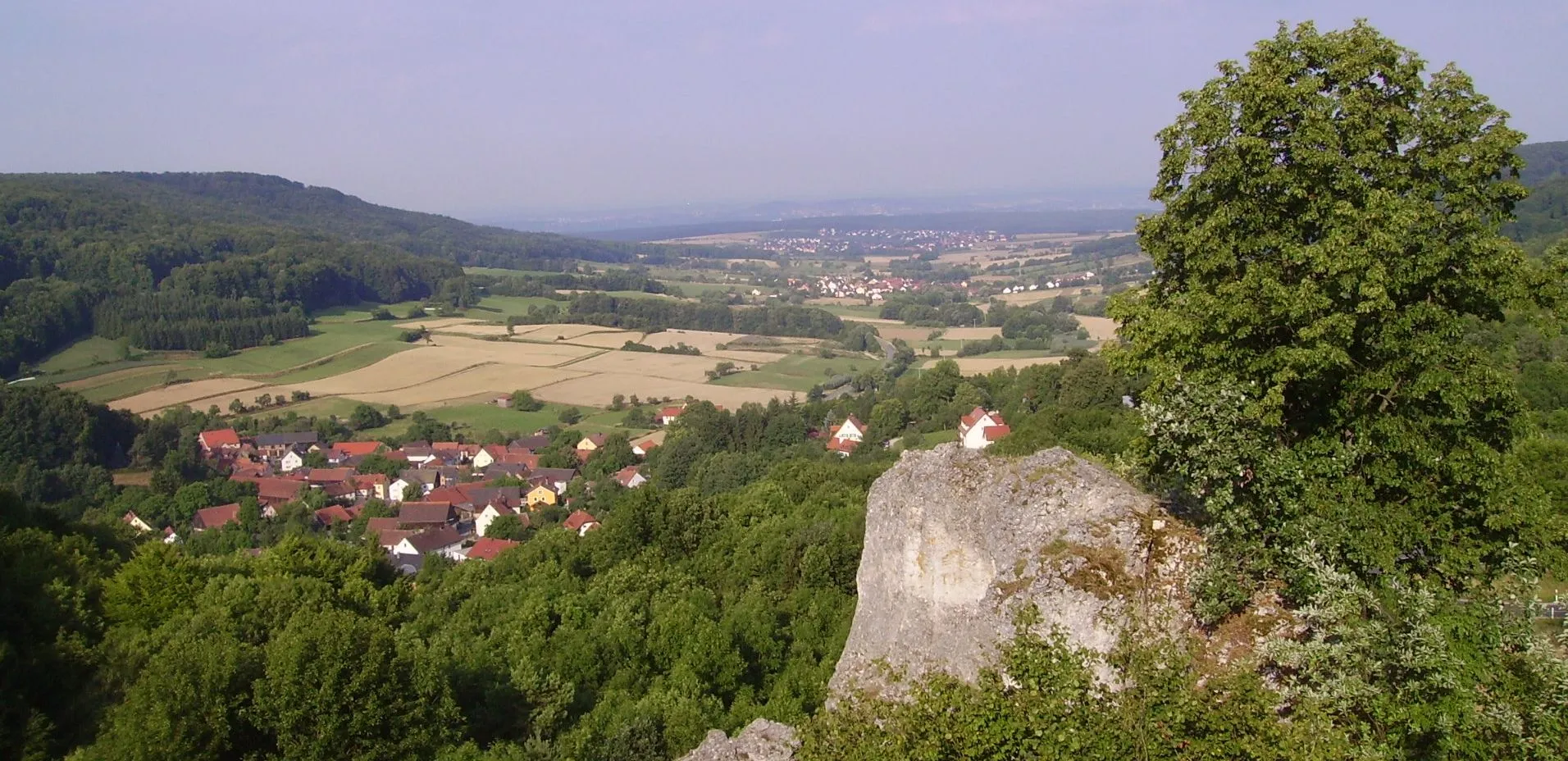
This gravel cycling route near Hirschaid takes you on an exciting adventure through the picturesque Oberfranken region. With a moderate difficulty level, a total ascent of 716m, and a distance of 48km, this route offers a thrilling off-road experience. Highlights along the way include the Friesener Warte tower with its panoramic views, the peaceful natural surroundings of Unterleinleiter, and the historic Kreuz monument. You'll also pass by the impressive Högelstein and the idyllic village of Altendorf. Overall, this route is perfect for riders looking to explore the diverse landscapes of Oberfranken and enjoy some challenging gravel riding.
Gravel loop from Hirschaid to Altendorf
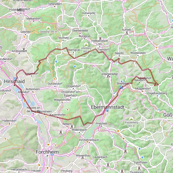
This gravel route takes you from Hirschaid to Altendorf and back, covering scenic countryside and charming villages. It is a challenging ride, with an ascent of 1146 meters over a distance of 67 kilometers. The highlights along the route include the Friesener Warte tower and the Totenstein hill. At the Friesener Warte tower, you can enjoy panoramic views of the surrounding countryside and relax in the peaceful atmosphere. Another highlight is the Burgruine Streitburg castle ruins, which offer a glimpse into the region's rich history. From there, the route takes you to the Altendorf village, where you can explore the historic sights and enjoy the friendly atmosphere. The ride ends back in Hirschaid, where you can relax and celebrate your accomplishment.

Take a short gravel loop and discover the scenic beauty of Oberfranken.
This short gravel cycling route offers a scenic loop near Hirschaid that allows you to experience the beauty of Oberfranken in just 30km. With a moderate difficulty level, this route includes 377m of ascent and offers a great introduction to gravel riding. Highlights along the way include the charming village of Geisfeld with its traditional architecture, the Friesener Warte lookout tower with its breathtaking views, and the idyllic village of Friesen. Overall, this route is perfect for riders looking for a quick adventure in the stunning landscapes of Oberfranken.
Ride from Hirschaid to Erlach
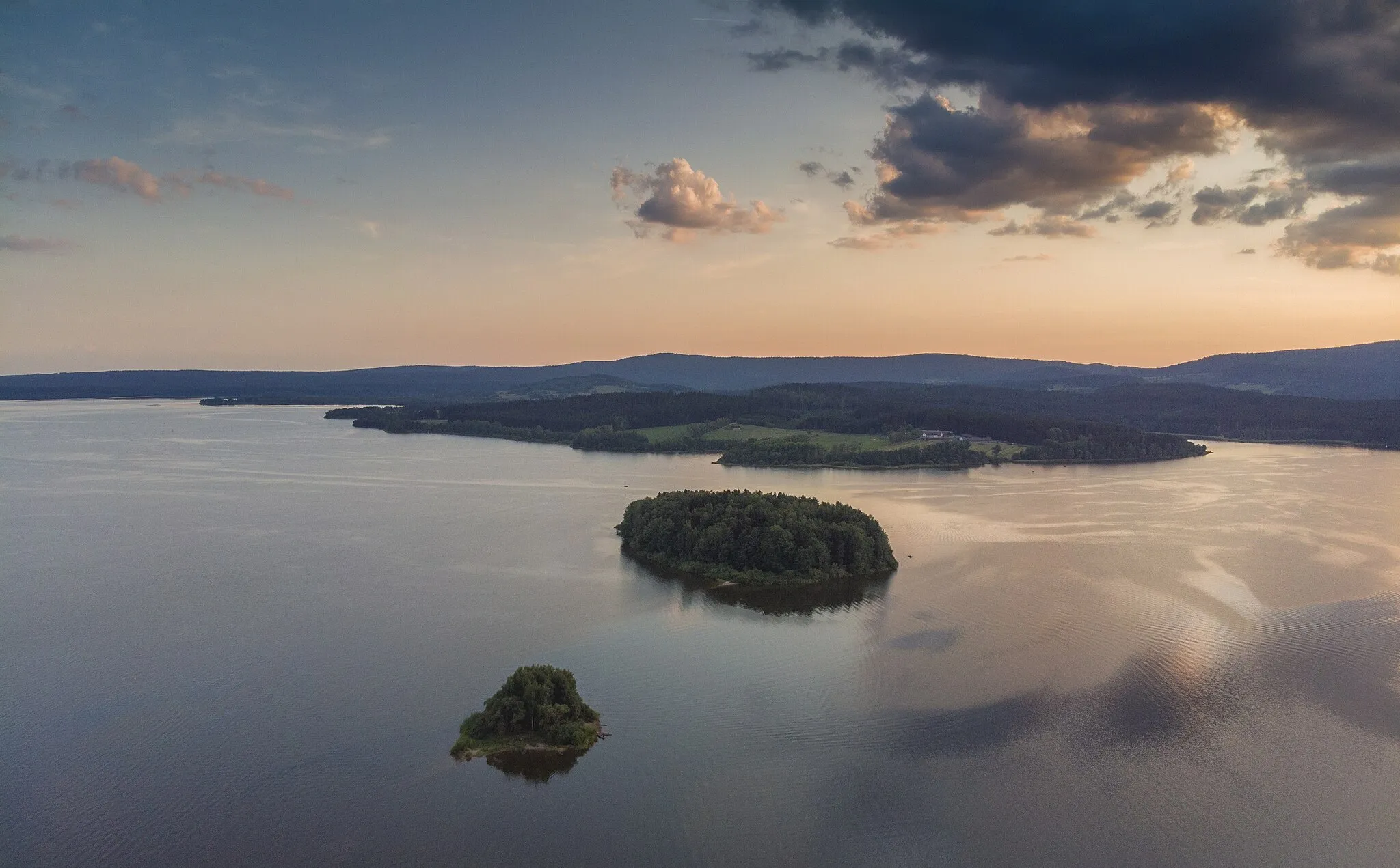
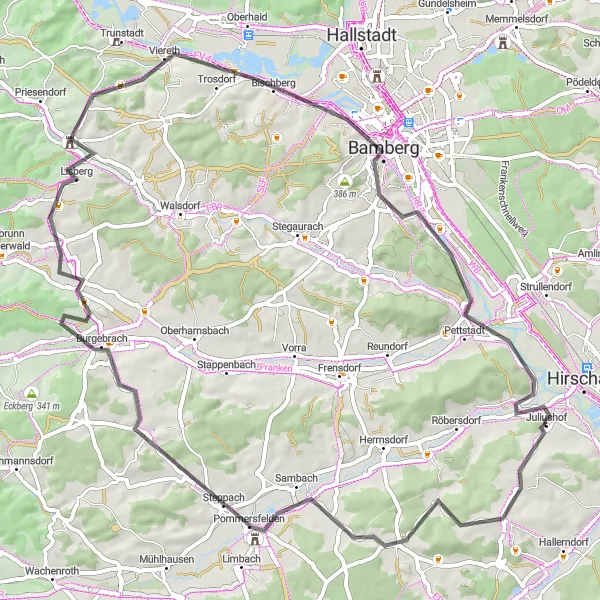
This road route takes you from Hirschaid to Erlach, passing through picturesque villages and beautiful countryside. It is a moderate ride, with an ascent of 627 meters over a distance of 68 kilometers. The highlights along the route include the Kleinbuchfeld village and the Pommersfelden castle. At Kleinbuchfeld, you can visit the historic village center and admire the traditional architecture. Another highlight is the Villa Remeis in Bamberg, which is a stunning example of 19th-century architecture. The route also takes you through Lisberg, a charming village with beautiful old buildings. The ride ends in Erlach, where you can relax by the lake and soak in the peaceful atmosphere.
Hirschaid to Hirschaid

Ride in and around Hirschaid
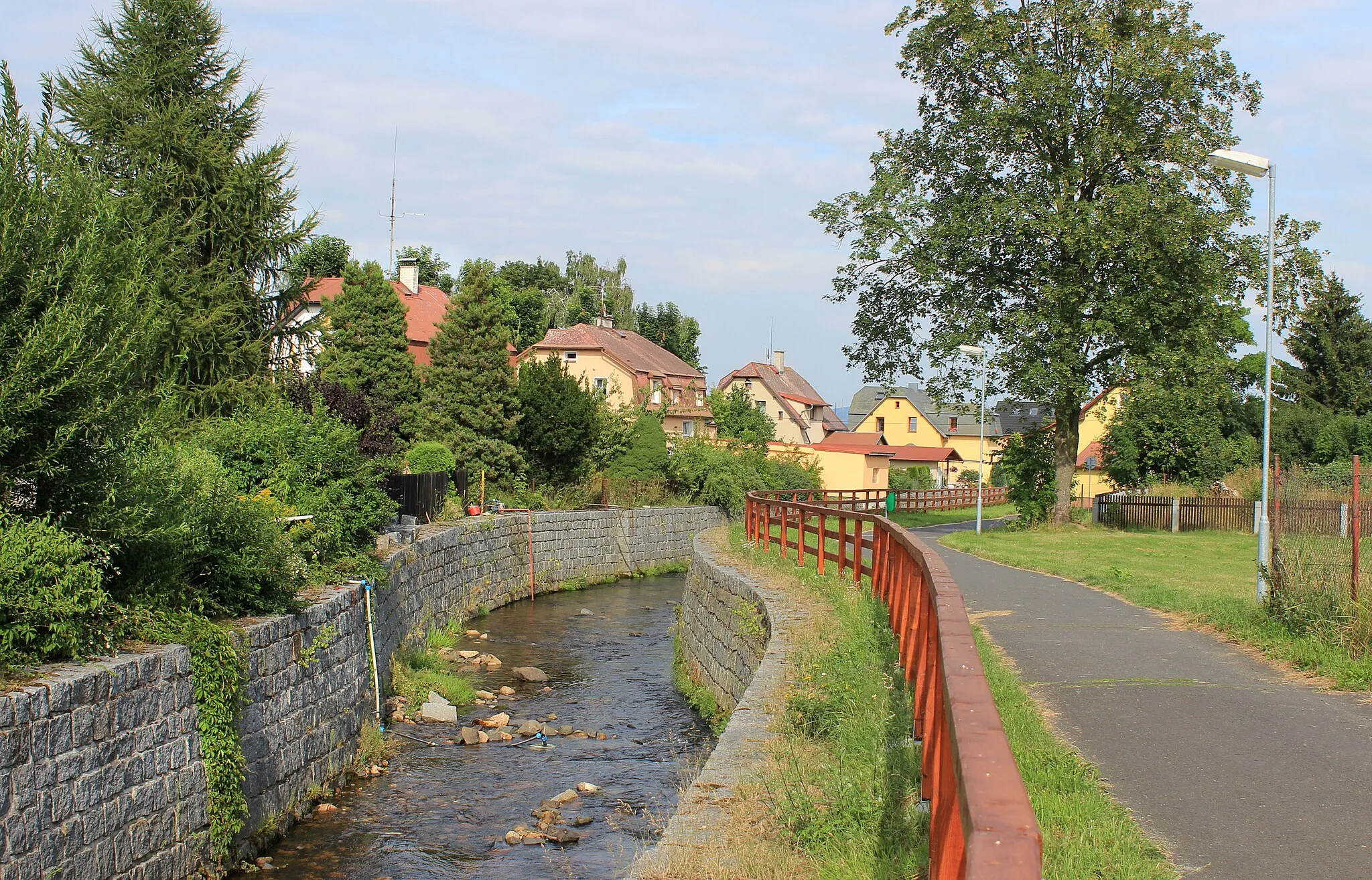
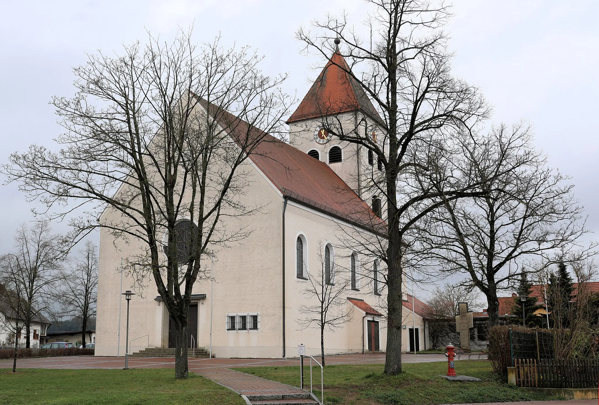
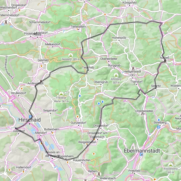
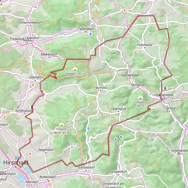
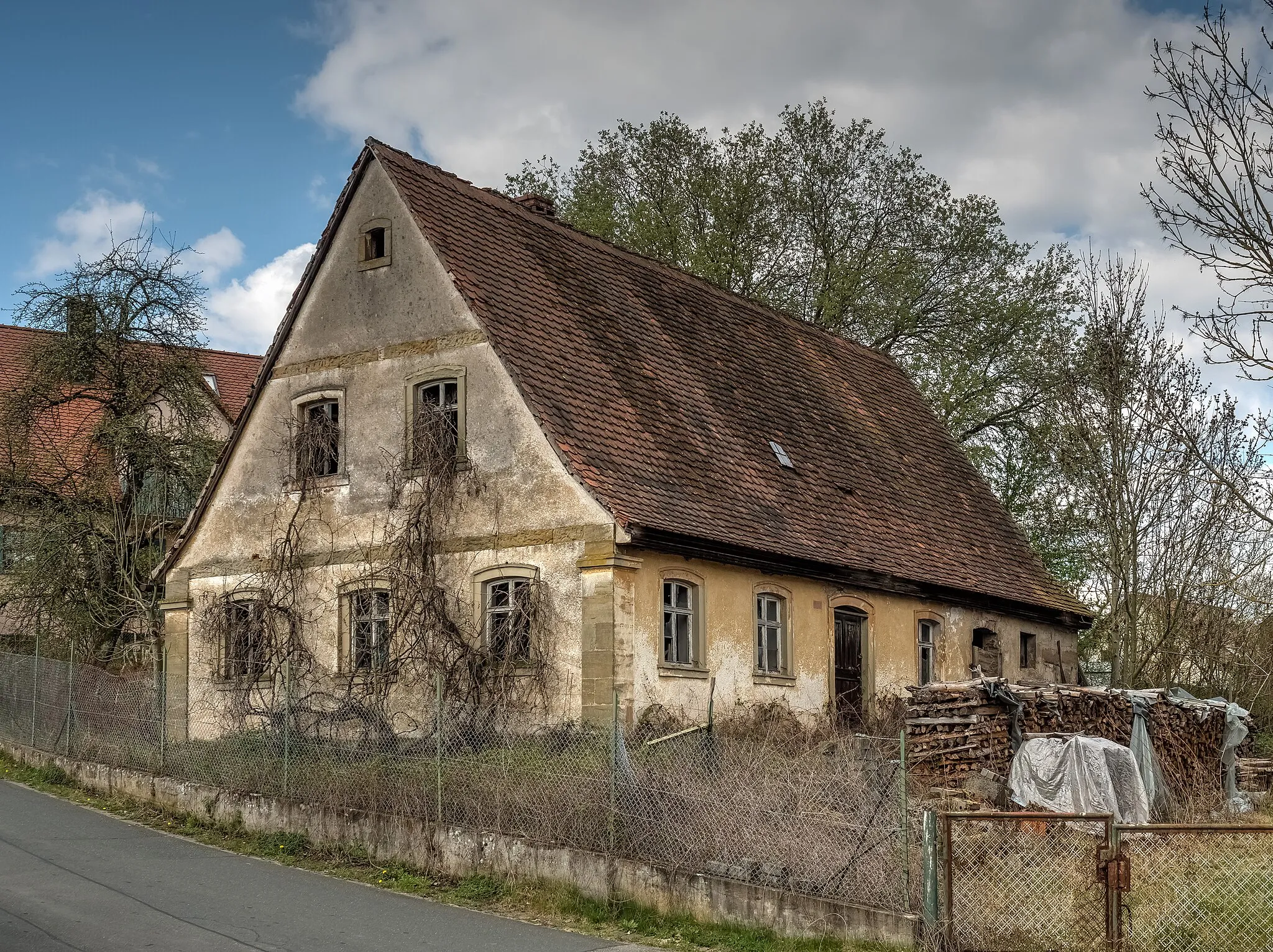
This gravel route takes you through the scenic countryside in and around Hirschaid. It is a relatively easy ride, with an ascent of 580 meters over a distance of 44 kilometers. The highlights along the route include the Strullendorf village and the Tiefenellern church. At Strullendorf, you can visit the historic village center and admire the traditional half-timbered houses. Another highlight is the Stockenberg viewpoint, which offers panoramic views of the surrounding countryside. From there, the route takes you to the Friesener Warte tower, which is a popular spot for hikers and cyclists. The ride ends back in Hirschaid, where you can explore the town's historic sights and relax after a pleasant ride.
Hirschaid to Altendorf
Ride from Hirschaid to Altendorf
This route takes you from the town of Hirschaid to Altendorf, passing through beautiful countryside and charming villages. It is a challenging ride, with an ascent of 967 meters over a distance of 69 kilometers. The highlights along the route include the Rotenberg hill and the Zeegendorf village. At the Zeegendorf village, you can enjoy the scenic views of the surrounding countryside. Another highlight is the Bamberg-Blick viewpoint, which offers panoramic views of the city of Bamberg. From there, the route takes you through the picturesque village of Kotzendorf and the stunning Taschnersfelsen cliffs. The ride ends in Altendorf, where you can explore the historic sights and relax after a challenging ride.
Experience the beauty of Bamberg and explore the surrounding countryside on this road cycling route.
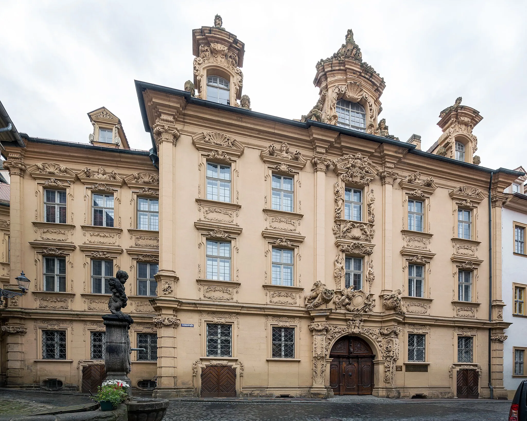
This road cycling route near Hirschaid offers another opportunity to explore the picturesque landscapes of Oberfranken, with Bamberg being its main highlight. With a moderate difficulty level, a total ascent of 558m, and a distance of 71km, this route is suitable for well-trained amateur cyclists. The scenic countryside and charming villages along the way provide a great backdrop for this ride. The highlights of the route include Bamberg's historic Old Town, villa Remeis with its impressive gardens, and Litzendorf, a cozy village surrounded by vineyards. Overall, this route offers a pleasant cycling experience with cultural and natural highlights to discover.
Gravel Adventure in Oberfranken
Embark on a thrilling gravel adventure through the scenic landscapes of Oberfranken.
This gravel cycling route near Hirschaid offers a thrilling adventure for off-road enthusiasts. With a moderate difficulty level, reaching an epicness score of 3, it covers a distance of 55km and includes 997m of ascent. The route takes you through diverse terrain, from muddy tracks to forest trails, offering a challenging but rewarding experience. Highlights along the way include the impressive views from Hirschaid-Blick, the picturesque village of Wernsdorf, and the scenic surroundings of Geisberg. You'll also pass through historic towns like Huppendorf and Altendorf. Overall, this route is perfect for riders looking to explore the diverse landscapes of Oberfranken and enjoy some off-road fun.

Ride from Hirschaid to Pettstadt
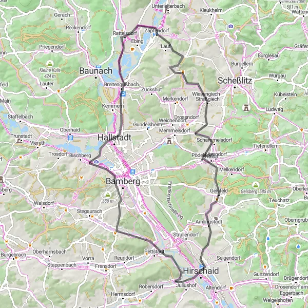
This road route takes you from Hirschaid to Pettstadt, covering a long distance with some challenging climbs. It is a difficult ride, with an ascent of 976 meters over a distance of 107 kilometers. The highlights along the route include the Lonnerstadt village and the Prölsdorf castle. At Lonnerstadt, you can explore the historic village center and admire the traditional Franconian architecture. Another highlight is the Sixtenberg hill, which offers breathtaking views of the surrounding countryside. From there, the route takes you to Prölsdorf, where you can visit the castle and learn about its fascinating history. The ride ends in Pettstadt, a charming village with beautiful old buildings and a peaceful atmosphere.
Discover the charming city of Bamberg and explore the beautiful countryside nearby.
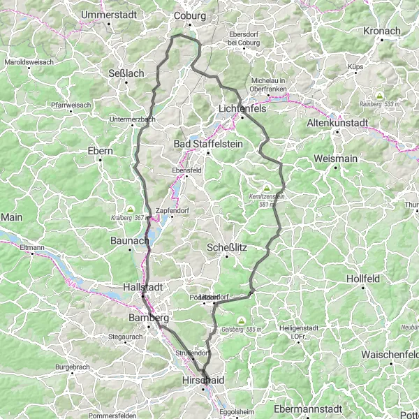
This road cycling route starts near Hirschaid and takes you on a scenic journey through Oberfranken. You'll ride through picturesque villages, lush green fields, and rolling hills. The highlight of the route is Bamberg, a UNESCO World Heritage Site known for its stunning architecture and historic charm. The route is moderately difficult with a total ascent of 1105m and a distance of 126km. It offers a mix of challenging climbs and fast descents, making it suitable for well-trained amateur cyclists. The epicness score for this route is 4, as it showcases the beauty of the region and includes some iconic landmarks.
Cycling routes nearby:


Nearby regions: