Hirschaid to Altendorf
A road cycling route starting from Hirschaid
Ride from Hirschaid to Altendorf
Map
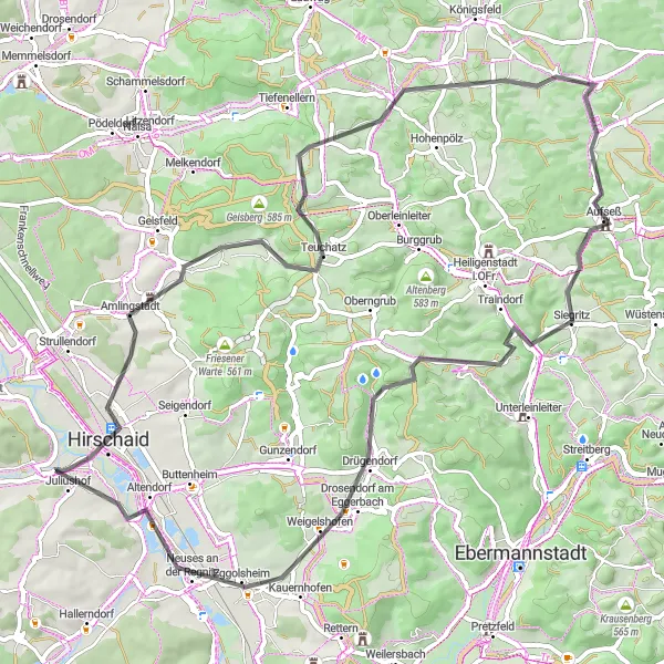
This route takes you from the town of Hirschaid to Altendorf, passing through beautiful countryside and charming villages. It is a challenging ride, with an ascent of 967 meters over a distance of 69 kilometers. The highlights along the route include the Rotenberg hill and the Zeegendorf village. At the Zeegendorf village, you can enjoy the scenic views of the surrounding countryside. Another highlight is the Bamberg-Blick viewpoint, which offers panoramic views of the city of Bamberg. From there, the route takes you through the picturesque village of Kotzendorf and the stunning Taschnersfelsen cliffs. The ride ends in Altendorf, where you can explore the historic sights and relax after a challenging ride.
road
69 km
967 m
Tough
Route profile
Highlights on the route
0 km
0 km
Start: Köttmannsdorf Village centerHirschaid: Cycling Paradise with Proximity to Famous Climbs in Oberfranken, Germany
Hirschaid in Oberfranken, Germany, offers diverse cycling opportunities for road and gravel cyclists. The region features well-maintained roads that traverse picturesque landscapes and charming villages. There are also numerous off-road trails and paths suitable for gravel cycling enthusiasts. Cyclists visiting Hirschaid can enjoy a variety of terrains, including rolling hills and forests, providing both scenic and challenging routes. The town is located near notable cycling climbs like the iconic Schloßberg, known for its demanding ascent. With its mix of road and off-road options and proximity to famous climbs, Hirschaid is a cyclist's dream location.2 km
2 km
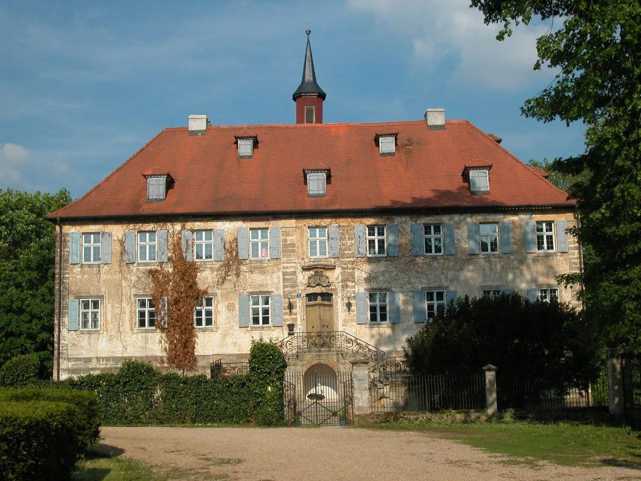
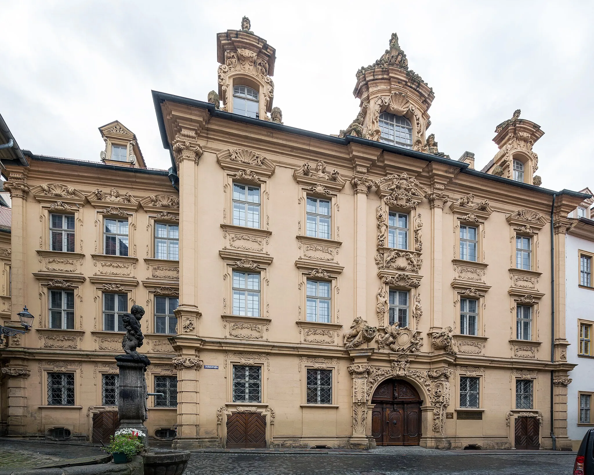
HirschaidTownHirschaid is the starting point of this route. It is a charming town with beautiful historic buildings and a rich culture.
5 km
5 km
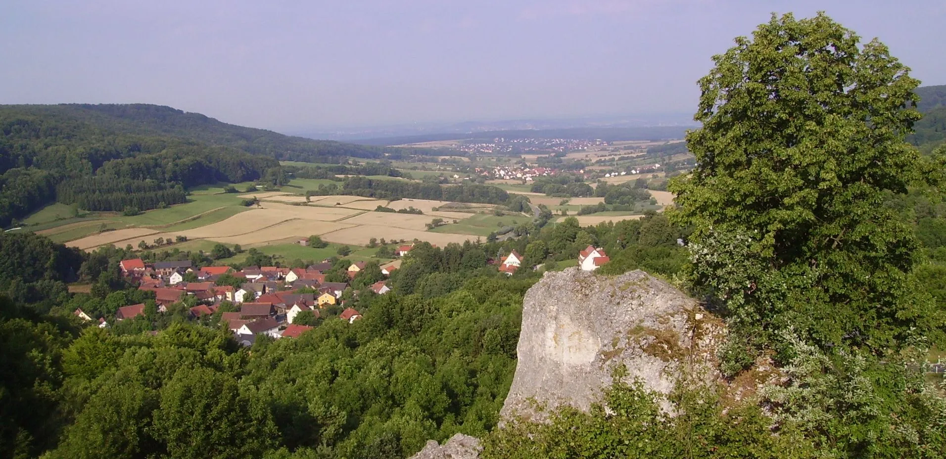
Rotenberg289 mPeakRotenberg is a hill located along the route. It offers stunning views of the surrounding countryside and is a popular spot for hikers and cyclists.
13 km
13 km
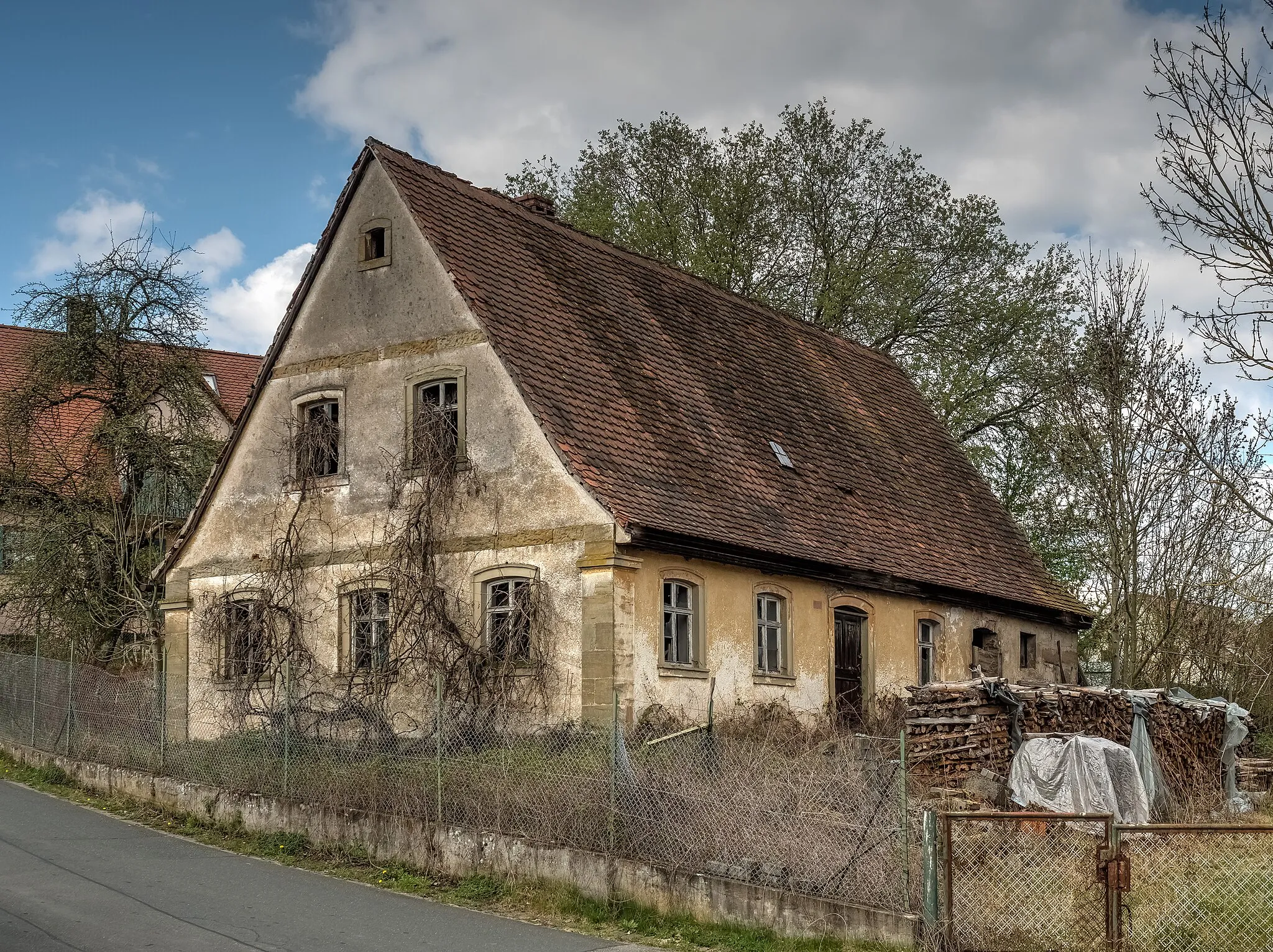
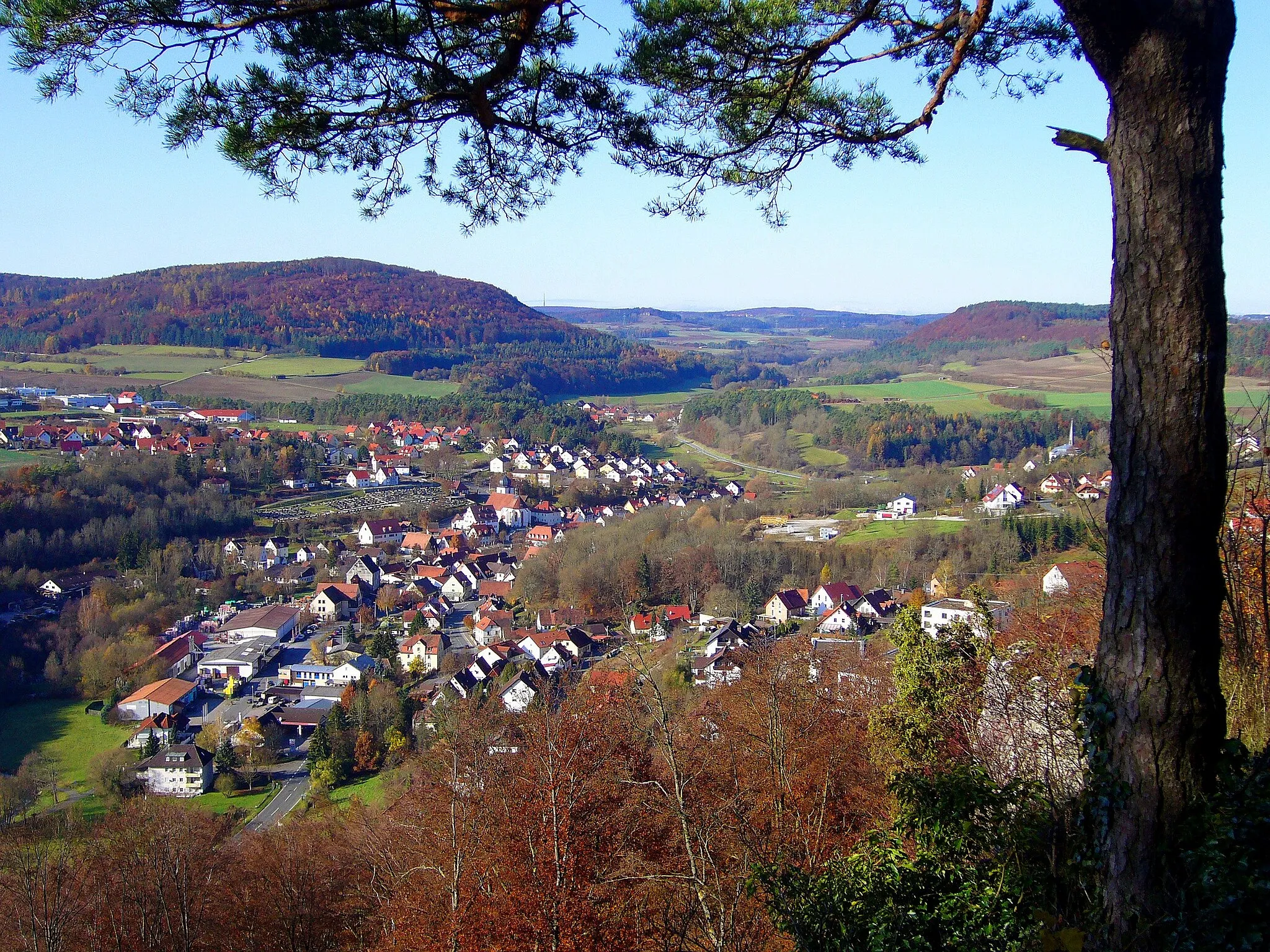
ZeegendorfVillageZeegendorf is a picturesque village that you will pass through on the route. It has charming traditional houses and peaceful streets.
15 km
15 km
Bamberg-BlickViewpointBamberg-Blick is a viewpoint that offers panoramic views of the city of Bamberg. It is a must-visit spot for photographers and nature lovers.
28 km
28 km
KotzendorfVillageKotzendorf is a small village known for its traditional half-timbered houses and peaceful atmosphere.
33 km
33 km
TaschnersfelsenViewpointTaschnersfelsen is a rock formation along the route. It is a popular spot for rock climbing and offers beautiful views of the surrounding landscape.
41 km
41 km
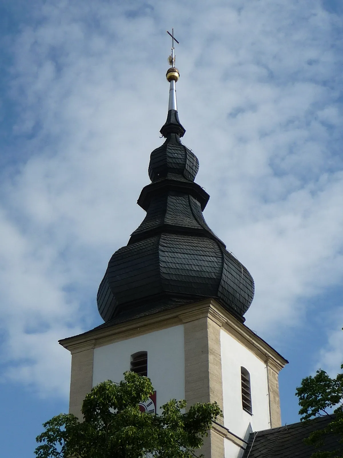
SiegritzVillageSiegritz is a charming village with historic buildings and a peaceful atmosphere. It is worth a visit to explore its traditional Bavarian architecture.
43 km
43 km
TotensteinViewpointTotenstein is a hill along the route. It offers panoramic views of the surrounding countryside and is a great spot for a picnic.
60 km
60 km
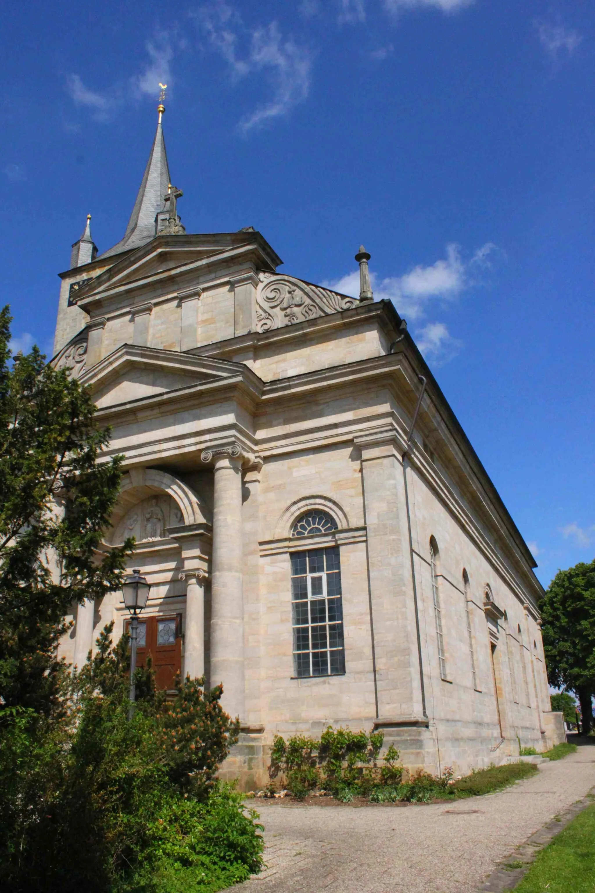
EggolsheimVillageEggolsheim is a picturesque village located at the end of the route. It has beautiful old buildings and a friendly, relaxed atmosphere.
65 km
65 km
AltendorfVillageAltendorf is the final destination of this route. It is a small village with charming traditional houses and a peaceful atmosphere. It is a great place to visit after a challenging ride.
69 km
69 km
Finish: Köttmannsdorf Village centerHirschaid: Cycling Paradise with Proximity to Famous Climbs in Oberfranken, Germany
Cycling routes nearby: