Leisurely rides through scenic countryside
Cycling routes from Frensdorf
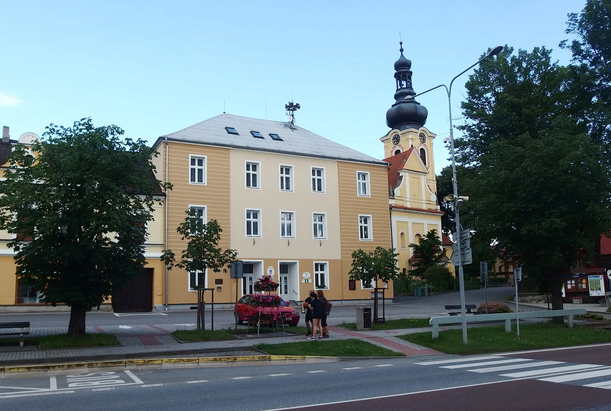
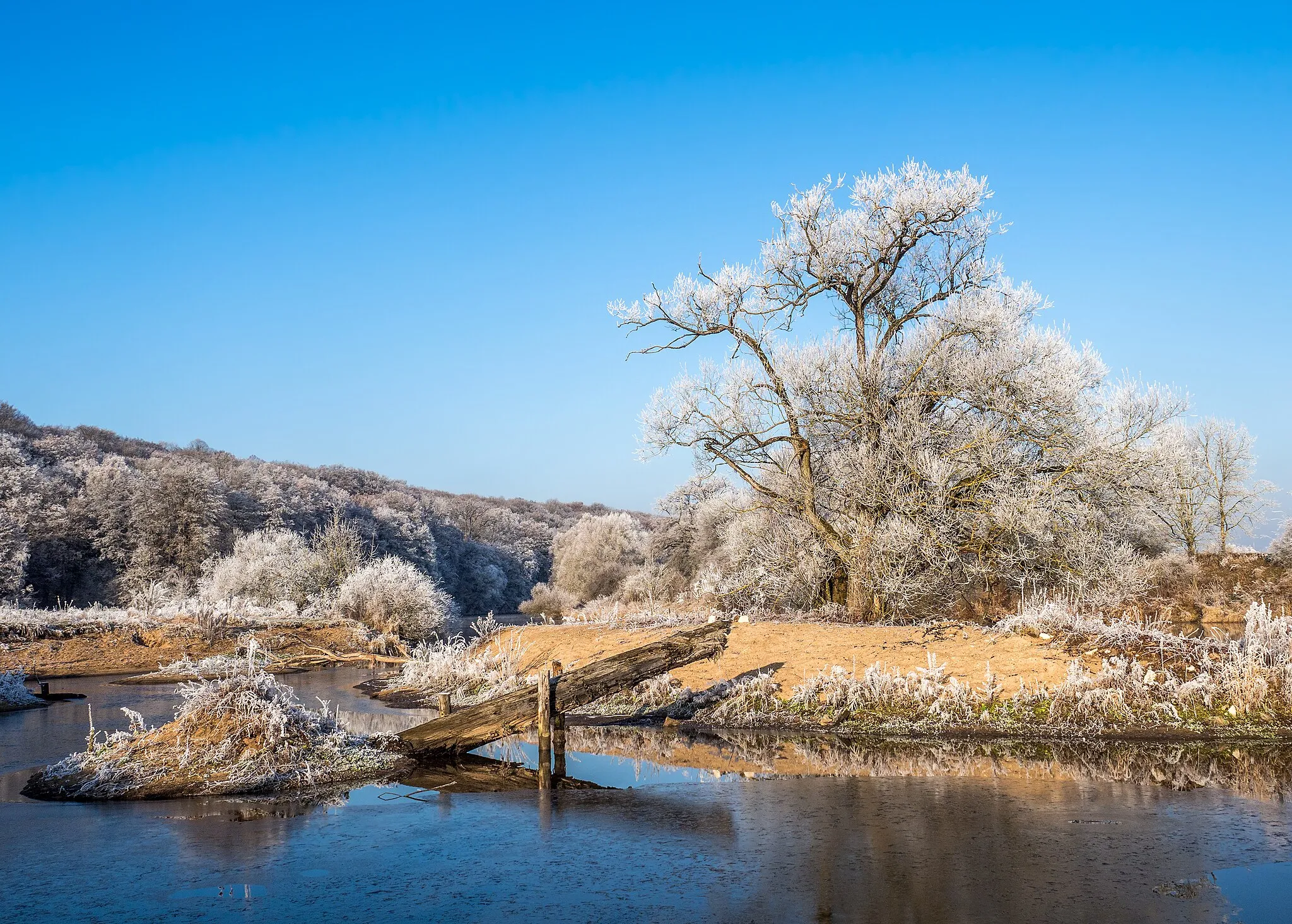
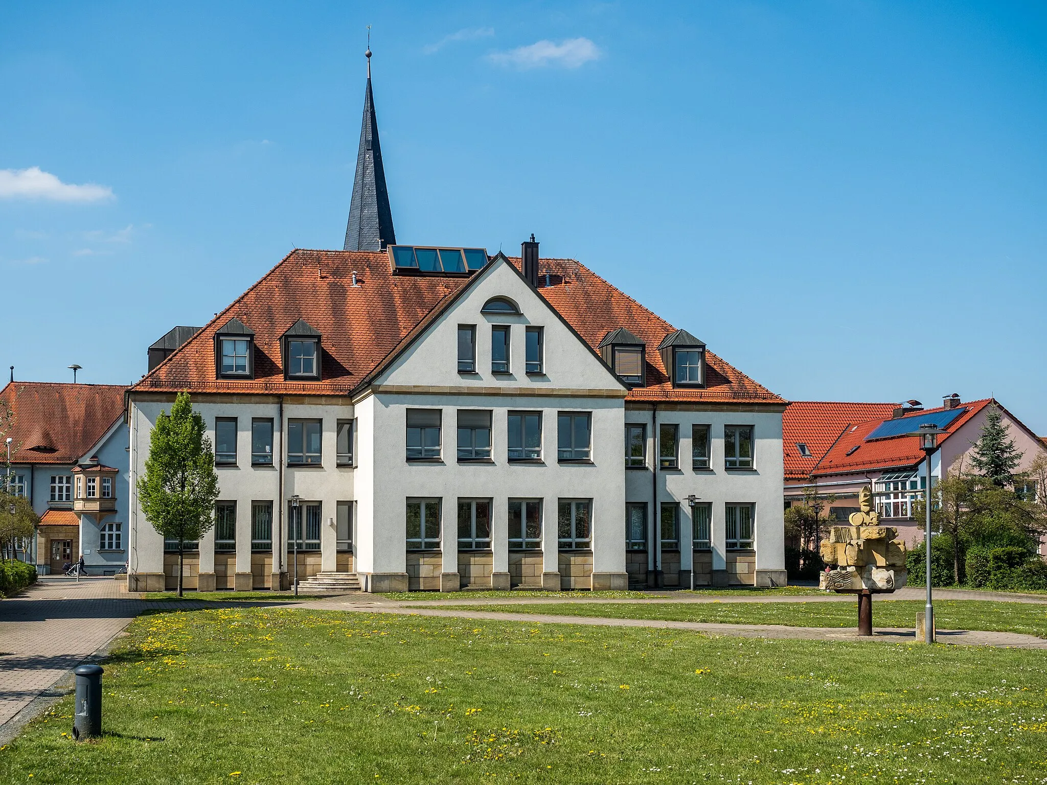
Frensdorf in Germany's Oberfranken region offers decent cycling opportunities for road and gravel cyclists. The locality features a mix of scenic countryside and charming villages, providing a pleasant atmosphere for cycling enthusiasts. Cyclists can enjoy peaceful rides on well-maintained roads with moderate traffic. While Frensdorf is not known for any famous cycling-related spots or climbs, it is a suitable destination for cyclists looking for leisurely rides and the chance to immerse themselves in the rural beauty of the region.
Panoramic Views of Oberfranken
Enjoy breathtaking panoramic views of Oberfranken on this gravel cycling route
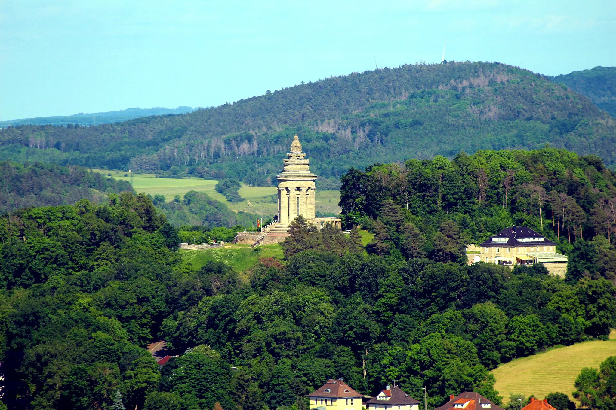
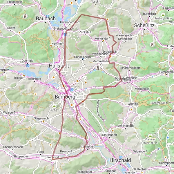
The Panoramic Views of Oberfranken route offers cyclists a chance to soak in the natural beauty of the region while enjoying breathtaking panoramic views. With a distance of 58 kilometers and an ascent of 493 meters, this route is suitable for moderately experienced gravel cyclists. Along the way, you'll be treated to stunning vistas of the Oberfranken countryside, with its rolling hills, dense forests, and picturesque villages. Stop by the Aussichtsplatform Gärtnerstadt for a bird's eye view of the scenic cityscape, and explore the charming town of Hallstadt with its historical architecture. As you pedal through the route, take a moment to appreciate the beauty and tranquility of nature.
Embark on an unforgettable cycling adventure through the scenic Regnitz Valley
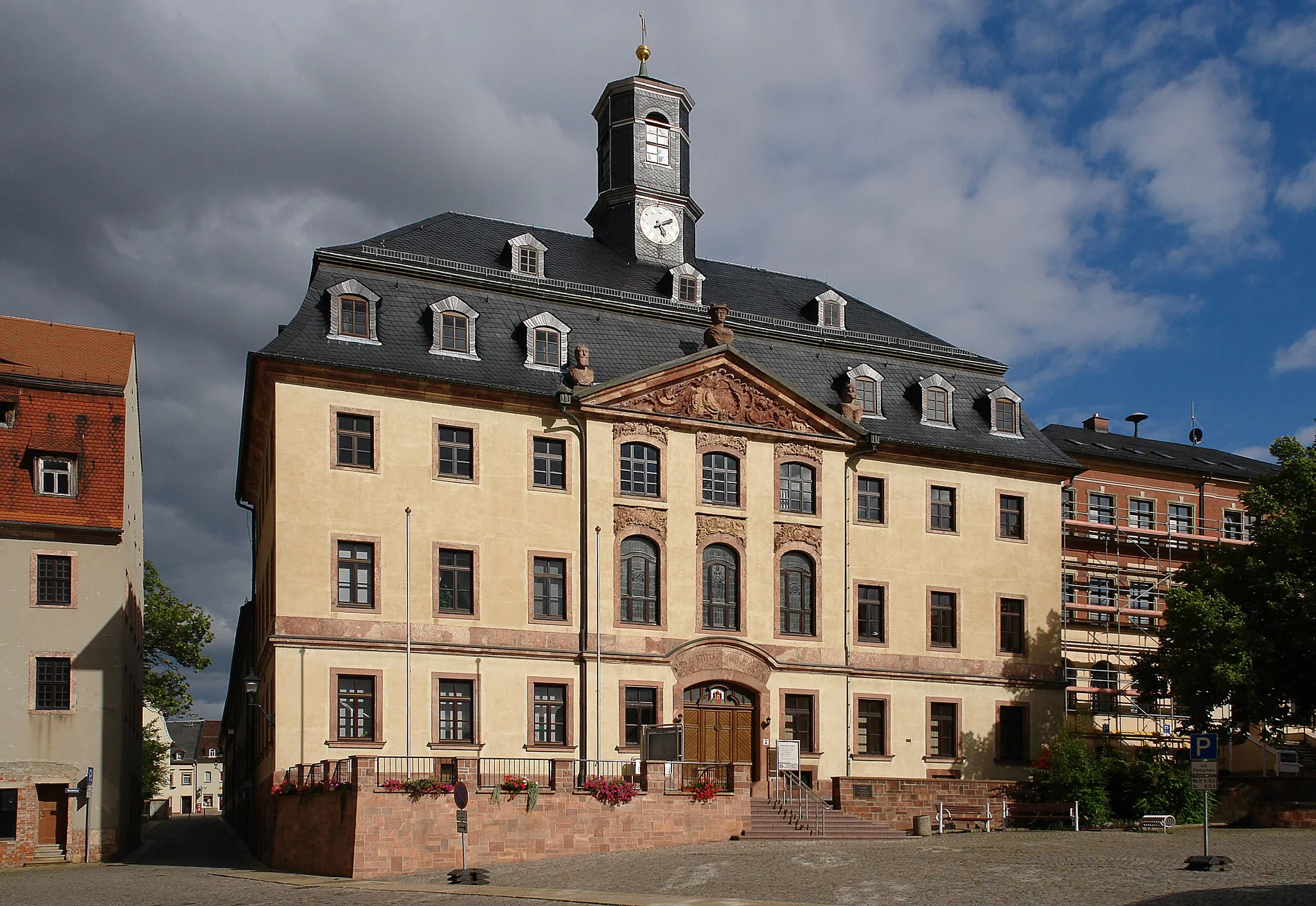
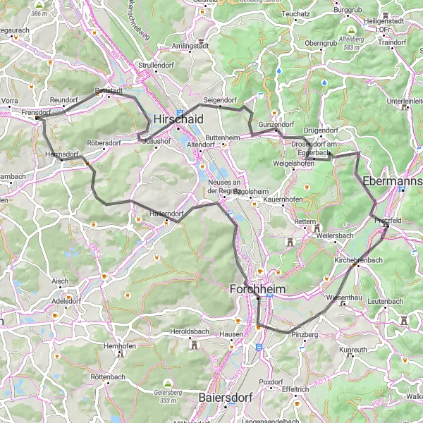
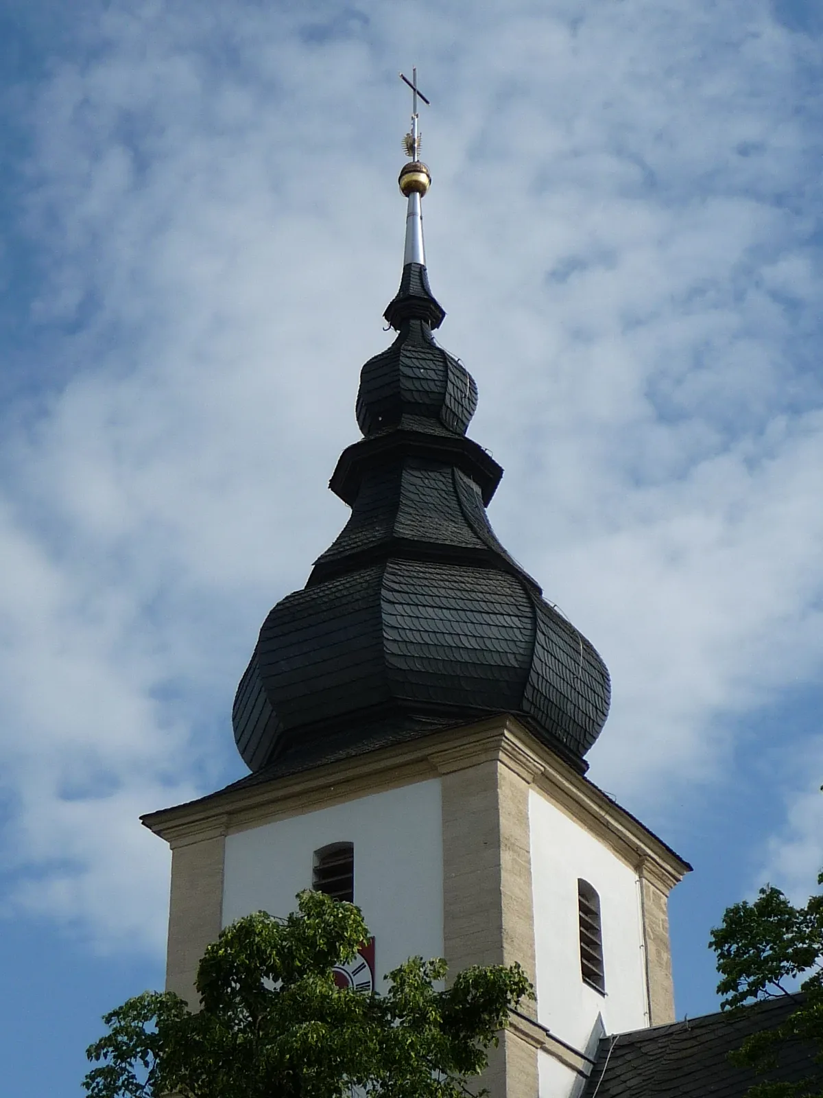
The Regnitz Valley Adventure is a road cycling route that takes you on a memorable journey through the picturesque landscapes of Oberfranken. With a distance of 75 kilometers and an ascent of 729 meters, this route is perfect for cyclists who appreciate both nature and historical landmarks. As you pedal through the route, you'll be rewarded with stunning views of the Regnitz Valley, quaint towns, and charming villages. Explore Hirschaid with its centuries-old architecture and visit Forchheim, known for its vibrant atmosphere and beautiful town center. Challenge yourself with a climb to the iconic Kreuzberg, a famous spot for cyclists, and enjoy panoramic views of the surrounding countryside. Experience the enchanting beauty of the Regnitz Valley on this unforgettable cycling adventure.
Regnitzgrund Route

Discover the picturesque Regnitz Valley on this road cycling route near Frensdorf
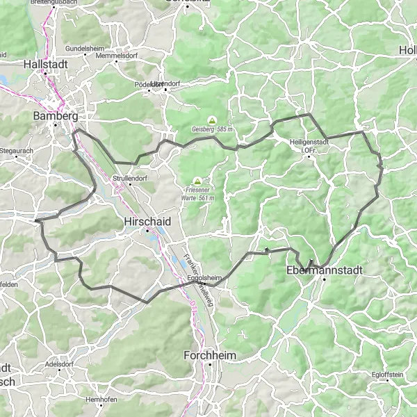
The Regnitzgrund Route takes you on a scenic journey through the beautiful Regnitz Valley near Frensdorf in Oberfranken, Germany. This road cycling route offers stunning views of the valley and is perfect for cyclists who want to immerse themselves in nature. The route covers a total distance of 69 kilometers and includes 388 meters of ascent. With its mix of rolling hills and flat sections, the Regnitzgrund Route is suitable for moderately experienced cyclists. Whether you're a local resident or a visitor to Oberfranken, this route is a must-try for its natural beauty and tranquility.
The Frensdorf Route
From the charming village of Frensdorf to the historical city of Bamberg
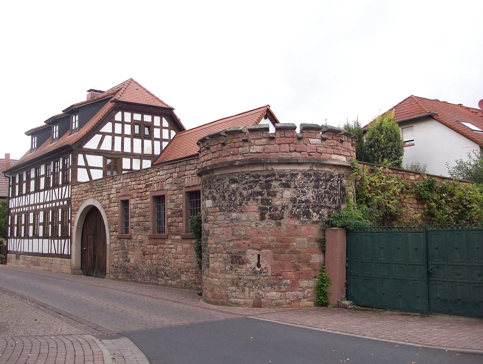
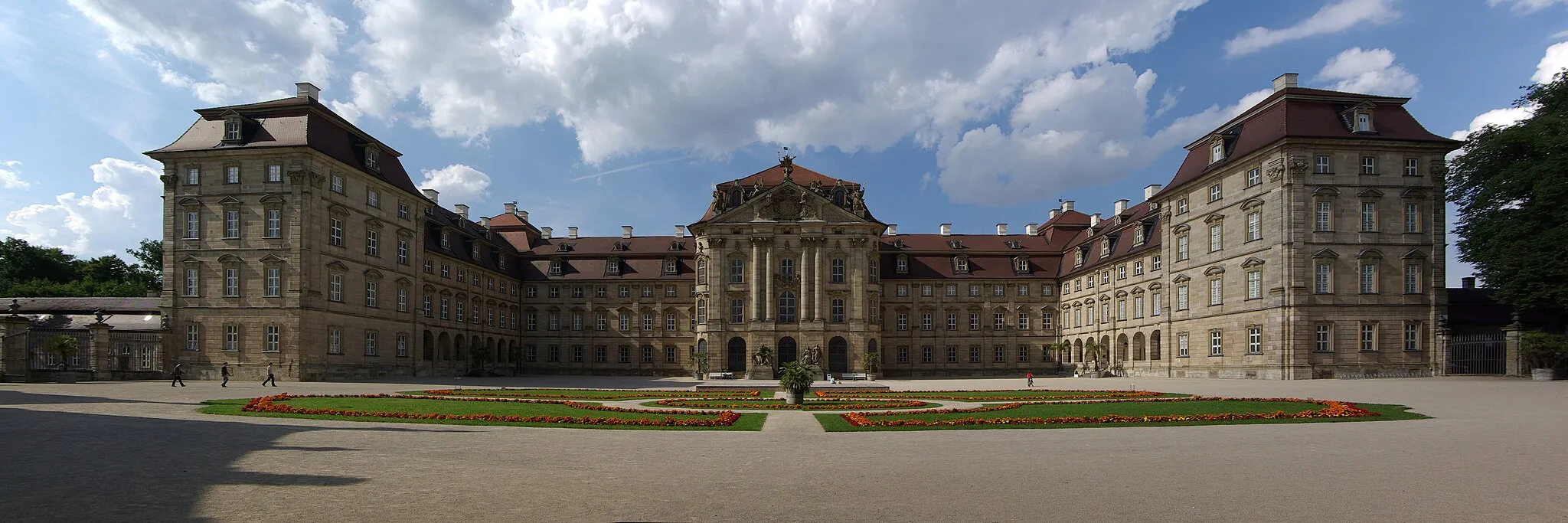
This road cycling route takes you from the peaceful village of Frensdorf to the vibrant city of Bamberg. Along the way, you'll pass through picturesque towns, including Zeegendorf and Aufseß. With a moderate ascent of 1,201 meters and a distance of 89 kilometers, this route is suitable for well-trained amateur cyclists. The highlight of the route is the breathtaking view of the Regnitzgrund Valley from Regnitzgrund-Blick. Score: 5.
Wildwasserbahn Route
Conquer the thrilling Wildwasserbahn Route and experience the adrenaline rush
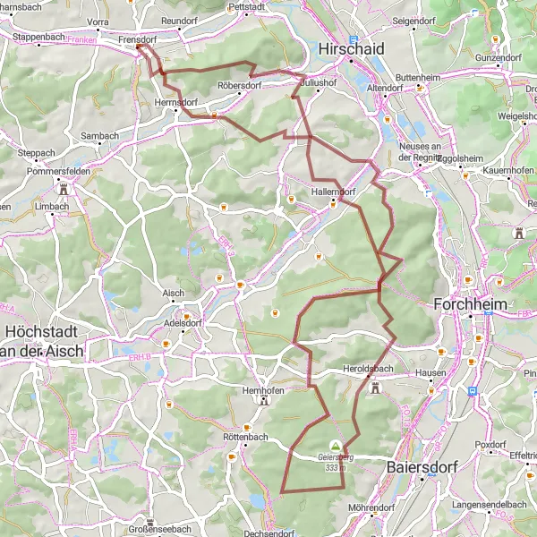
The Wildwasserbahn Route is a challenging gravel route that offers an adrenaline-pumping adventure near Frensdorf. Packed with steep climbs and technical descents, this 69-kilometer route is perfect for thrill-seeking cyclists who are looking for a challenging off-road experience. With an elevation gain of 866 meters, the Wildwasserbahn Route will push your cycling skills to the limit. As you ride through the dense forests and rocky trails, you'll be rewarded with breathtaking views of the surrounding landscapes. Prepare yourself for an epic cycling journey that will leave you with a sense of accomplishment and memories to last a lifetime.
The Gravel Adventure
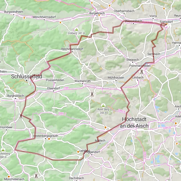
Explore the gravel roads through Pommersfelden and Schlüsselfeld
Embark on an adventurous gravel cycling journey through the scenic routes of Pommersfelden and Schlüsselfeld. With a moderate ascent of 655 meters and a distance of 74 kilometers, this route is perfect for gravel enthusiasts. Along the way, you'll discover hidden gems such as Storchennest, a cozy spot for birdwatching. Score: 3.
The Gravel Challenge
Test your skills on the challenging gravel routes of Treppendorf and Vorra
This gravel cycling challenge will push your limits as you conquer the demanding trails of Treppendorf and Vorra. With a moderate ascent of 813 meters and a distance of 53 kilometers, this route is suitable for experienced gravel cyclists. Explore hidden gems such as Zettmannsdorf, a village renowned for its peaceful atmosphere. Score: 2.
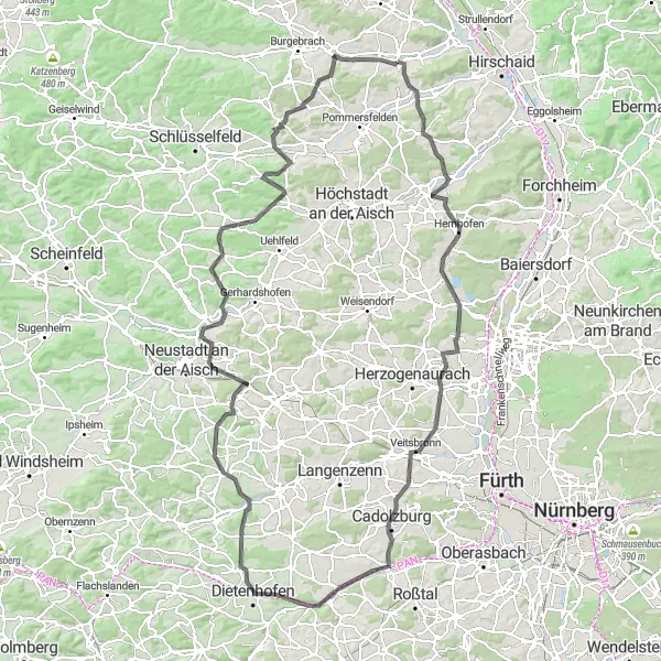
Immerse yourself in the rural beauty of Zentbechhofen and Dietenhofen
This road cycling route will take you on a picturesque journey through the idyllic landscapes of Zentbechhofen and Dietenhofen. With a challenging ascent of 1,405 meters and a distance of 143 kilometers, this route is suitable for experienced cyclists. Enjoy the stunning view from Vogelbeobachtungswand and explore the impressive Aussichtsturm Cadolzburg. Score: 4.

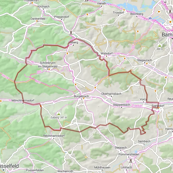
Embark on a thrilling gravel cycling adventure near Frensdorf
The Gravel Adventure in Oberfranken is a 68-kilometer route that promises an exhilarating off-road experience for gravel cyclists. With a total elevation gain of 710 meters, this route will challenge even the most experienced riders. Set amidst the beautiful landscapes of Oberfranken, the route offers stunning views and diverse terrain. From gravel paths to forest trails, you'll encounter a variety of surfaces that will test your skills and provide a unique cycling experience. As you navigate through the route, be prepared to witness the natural beauty of the region and discover hidden gems along the way.
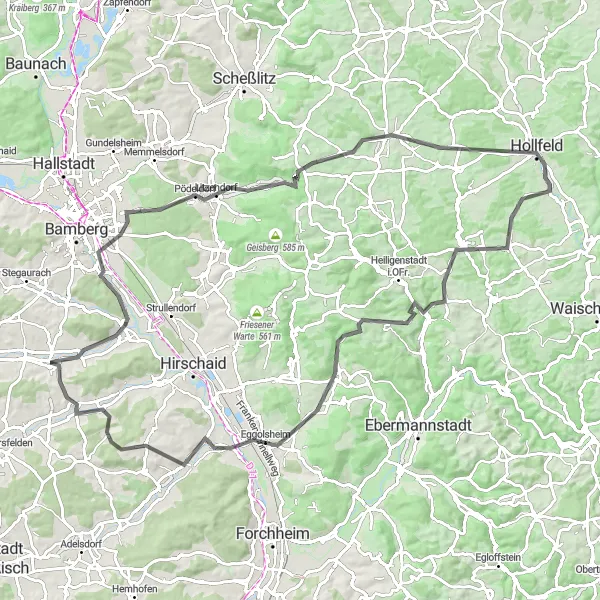
Discover the hidden gems along the route to Hollfeld
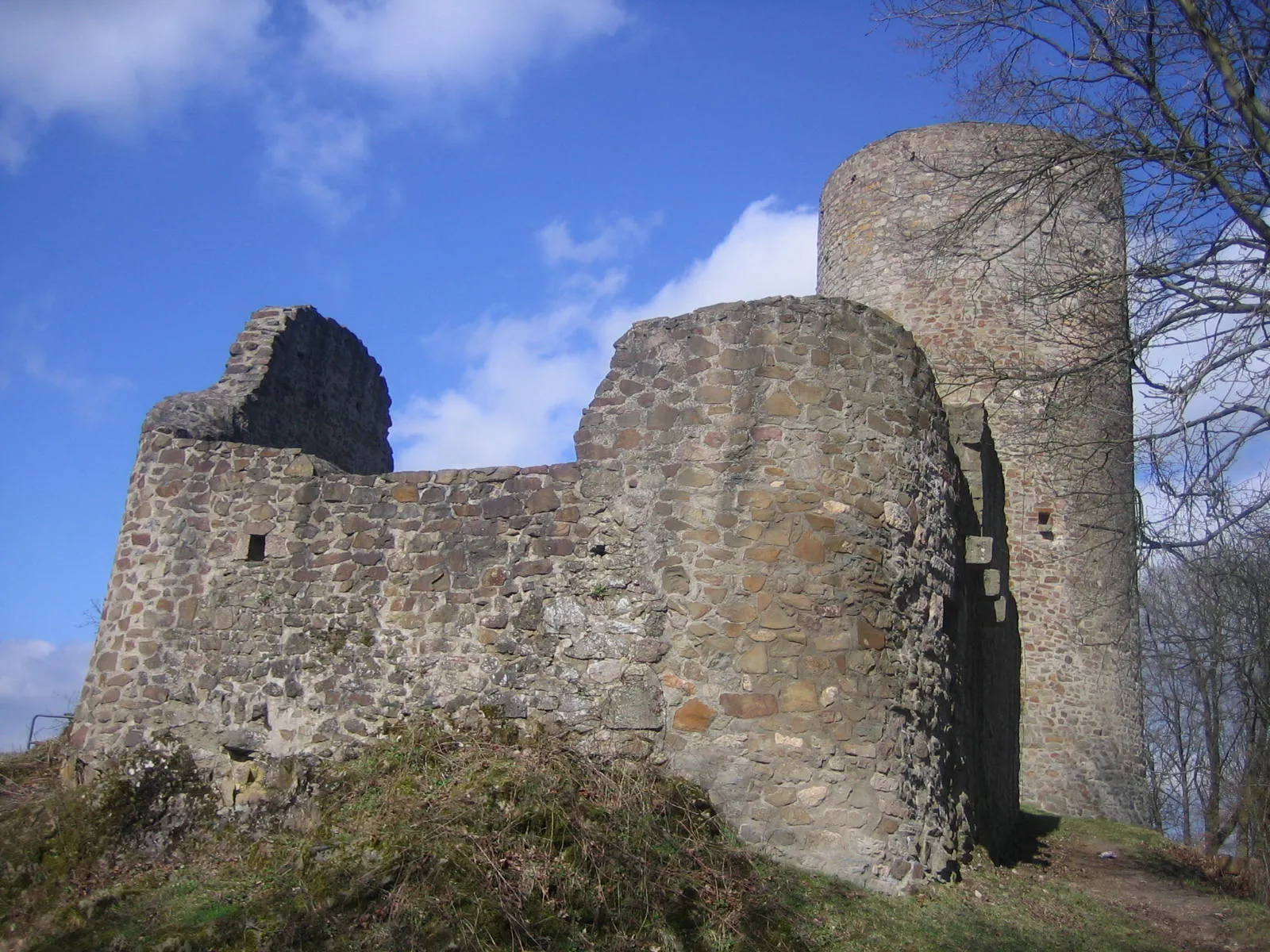
This road cycling excursion will take you on a scenic route to Hollfeld, a town with rich history and impressive architecture. With a moderate ascent of 1,158 meters and a distance of 99 kilometers, this route is suitable for well-trained amateur cyclists. Enjoy panoramic views at Regnitzgrund-Blick and explore the picturesque village of Litzendorf. Score: 2.
Cycling routes nearby:


Nearby regions: