An Excursion to Hollfeld
A road cycling route starting from Frensdorf
Discover the hidden gems along the route to Hollfeld
Map
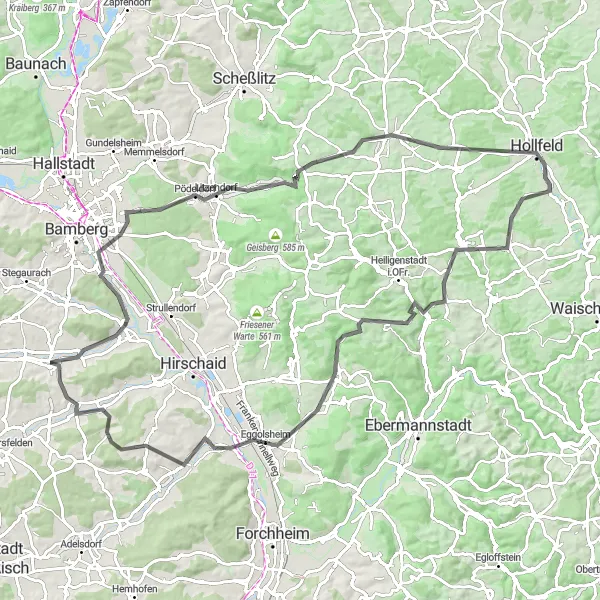
This road cycling excursion will take you on a scenic route to Hollfeld, a town with rich history and impressive architecture. With a moderate ascent of 1,158 meters and a distance of 99 kilometers, this route is suitable for well-trained amateur cyclists. Enjoy panoramic views at Regnitzgrund-Blick and explore the picturesque village of Litzendorf. Score: 2.
road
99 km
1158 m
Tough
Route profile
Highlights on the route
0 km
0 km
Start: Frensdorf Village centerFrensdorf: Leisurely rides through scenic countryside
Frensdorf in Germany's Oberfranken region offers decent cycling opportunities for road and gravel cyclists. The locality features a mix of scenic countryside and charming villages, providing a pleasant atmosphere for cycling enthusiasts. Cyclists can enjoy peaceful rides on well-maintained roads with moderate traffic. While Frensdorf is not known for any famous cycling-related spots or climbs, it is a suitable destination for cyclists looking for leisurely rides and the chance to immerse themselves in the rural beauty of the region.4 km
4 km
PettstadtVillagePettstadt offers a quiet and picturesque spot to take a break during your journey.
5 km
5 km
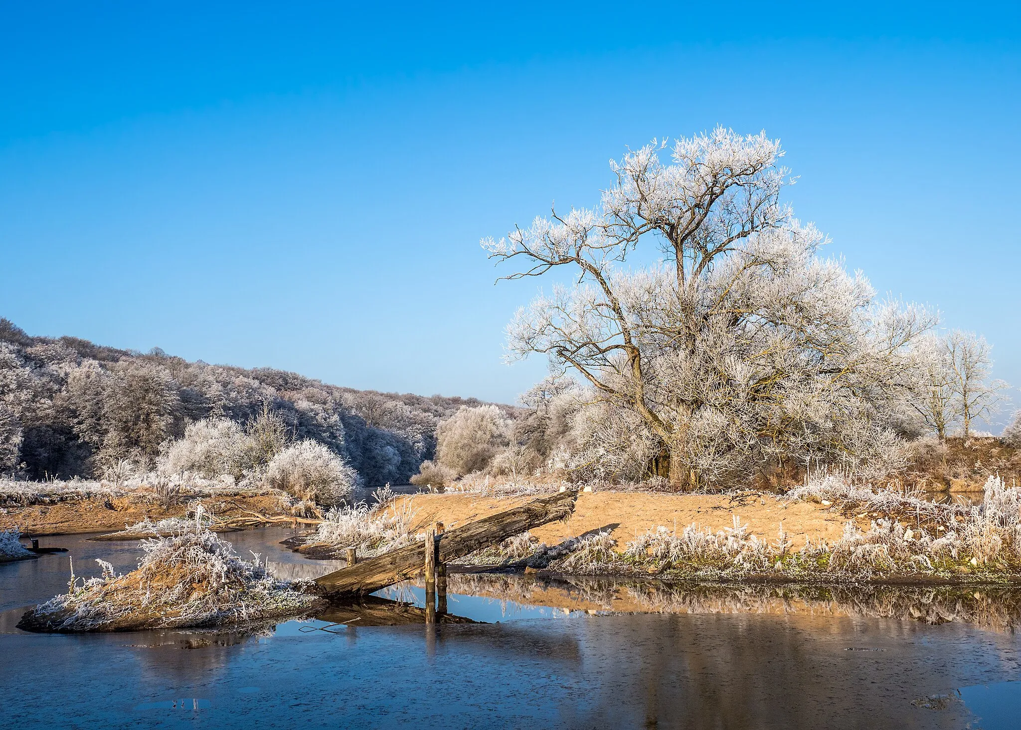
Regnitzgrund-BlickViewpointRegnitzgrund-Blick provides a panoramic view of the beautiful Regnitzgrund Valley.
21 km
21 km
LitzendorfVillageLitzendorf is a charming village with traditional architecture and peaceful surroundings.
27 km
27 km
Ellernbachtal-BlickViewpointStop by Ellernbachtal-Blick and enjoy a serene view of the valley.
44 km
44 km
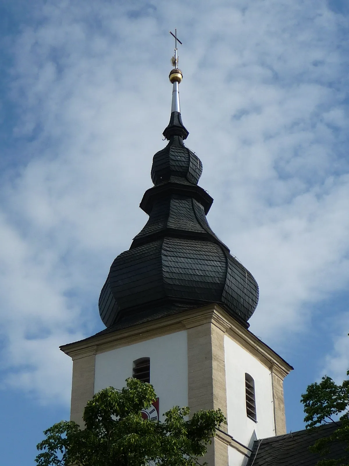
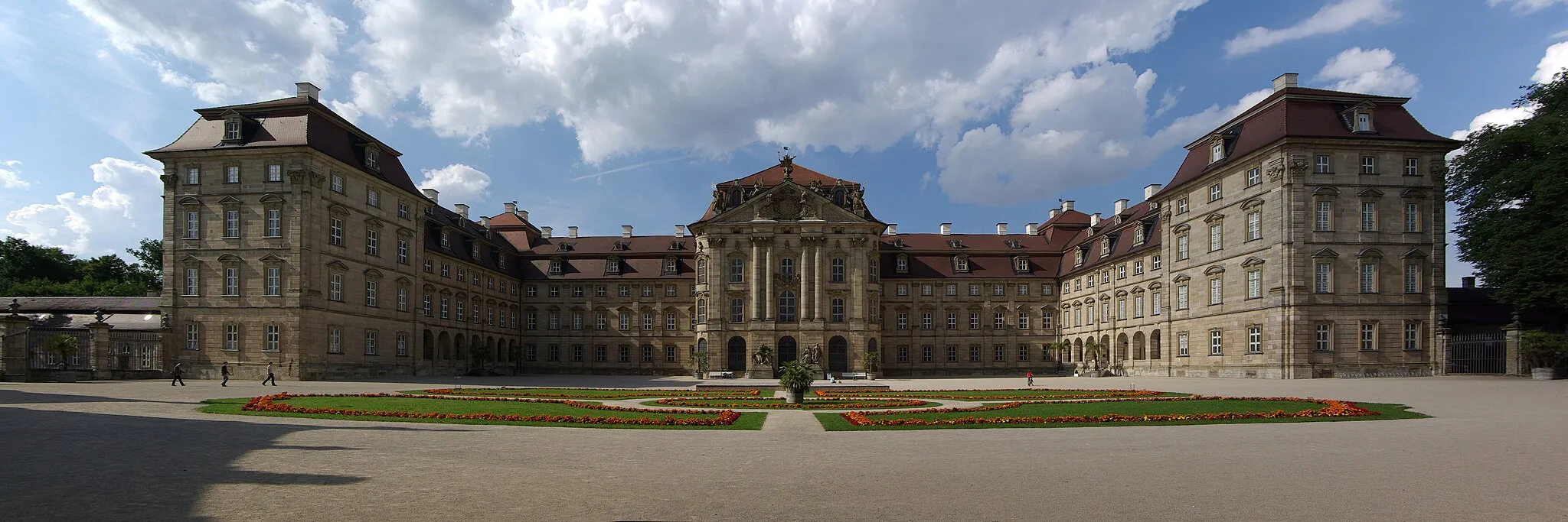
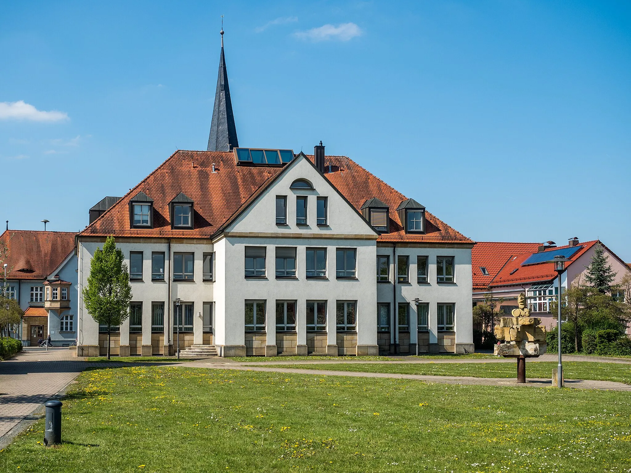
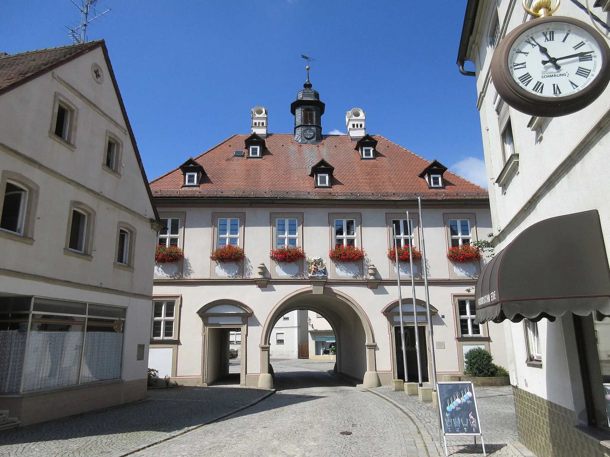
HollfeldTownHollfeld is known for its rich history and impressive medieval architecture.
55 km
55 km
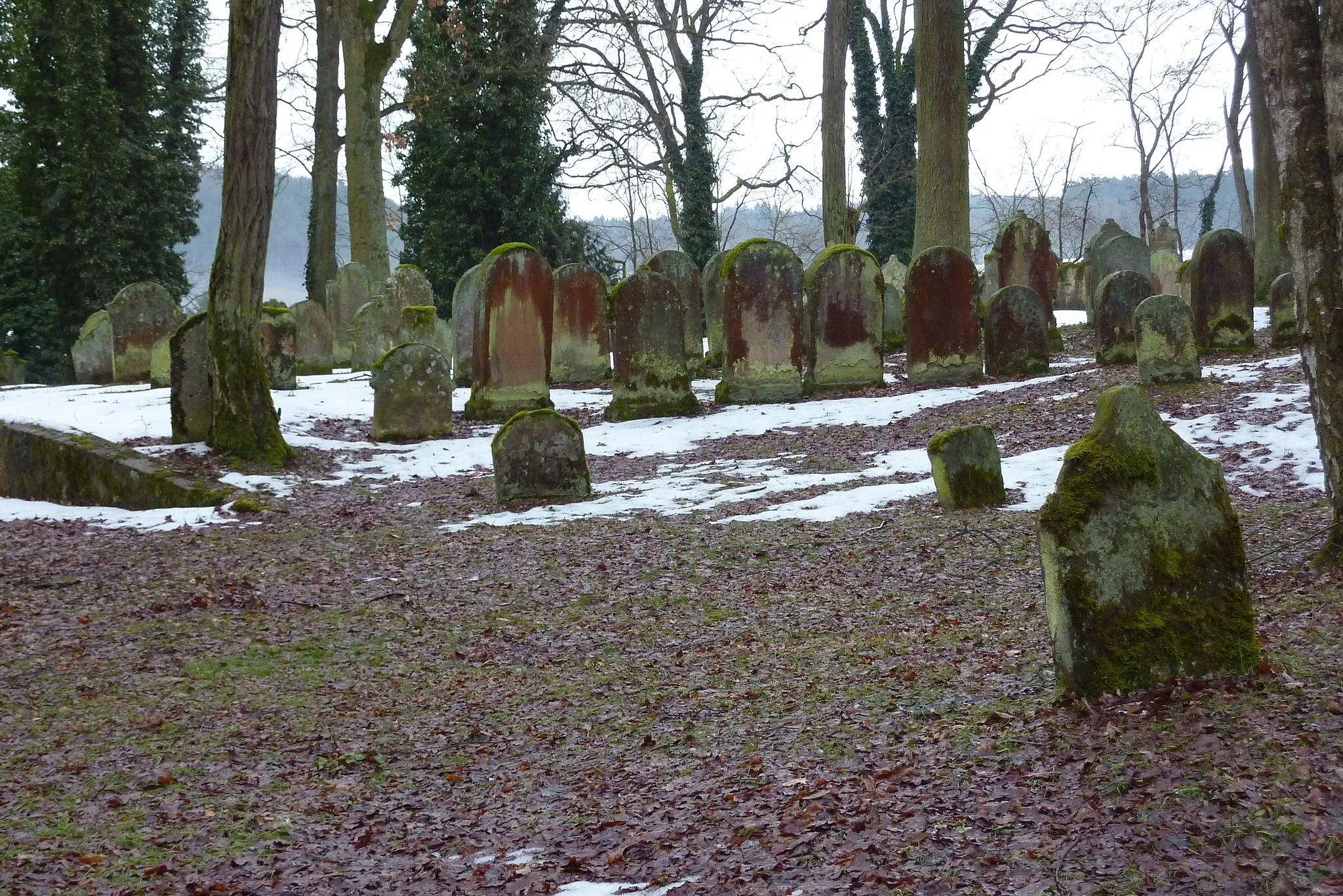
AufseßVillageExplore the quaint town of Aufseß with its charming half-timbered houses.
61 km
61 km
TotensteinViewpointTotenstein offers a peaceful and scenic spot to rest during your excursion.
78 km
78 km
EggolsheimVillageEggolsheim is a charming village with a rich cultural heritage.
88 km
88 km
SchnaidVillageSchnaid is a peaceful village with beautiful natural surroundings.
95 km
95 km
HerrnsdorfVillageHerrnsdorf is surrounded by rolling hills and offers a peaceful cycling experience.
99 km
99 km
Finish: Frensdorf Village centerFrensdorf: Leisurely rides through scenic countryside
Cycling routes nearby: