Bad Staffelstein Loop
A road cycling route starting from Ebensfeld
Experience the charm of Bad Staffelstein on this road cycling loop
Map
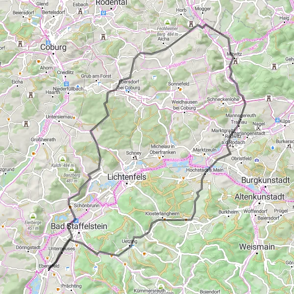
Immerse yourself in the charm of Bad Staffelstein as you cycle through its scenic surroundings on this 78 km road route. With a climb of 760 meters, this ride offers a moderate level of difficulty suited for well-trained amateur cyclists. Take in the picturesque landscapes and explore highlights such as the Maintalblick viewpoint, the quaint village of Buch am Forst, and the challenging Wasunger Berg climb. This route is rated at epicness level 3, as it offers an enjoyable cycling experience with highlights along the way. Start or end your journey in the charming town of Ebensfeld.
road
78 km
760 m
Chill
Route profile
Highlights on the route
0 km
0 km
Start: Ebensfeld Village centerEbensfeld: Cycling paradise in Oberfranken
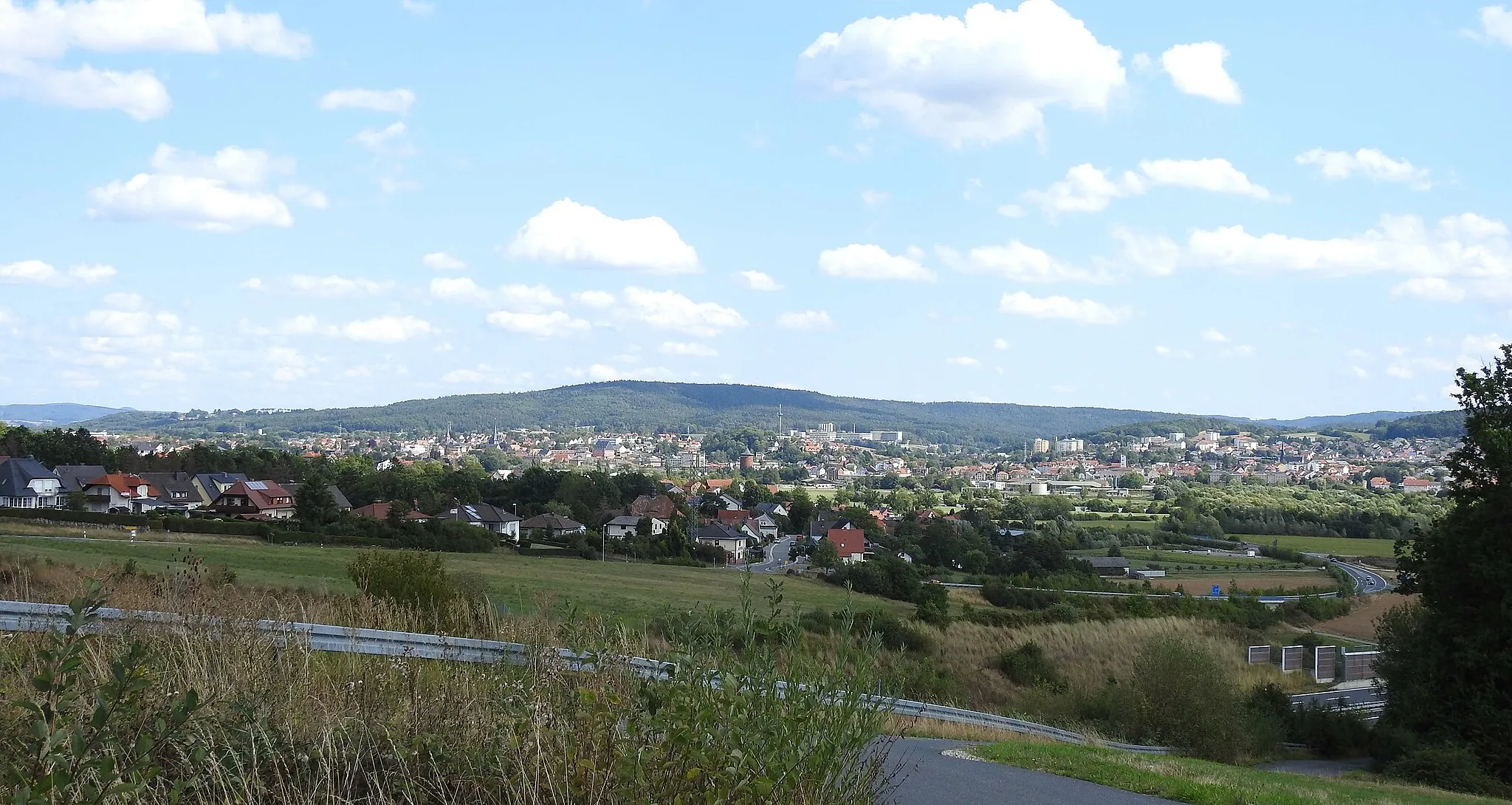
Ebensfeld is a locality in the Oberfranken region of Germany. As a road and gravel cyclist, you can expect stunning scenery and well-maintained cycling routes in the area. The region is known for its hilly landscapes and charming countryside, making it a popular destination for cyclists. Nearby, you can find the famous Franconian Switzerland, which offers challenging climbs and breathtaking views. Ebensfeld is a cycling-friendly area with plenty of opportunities for exploration and enjoyment.6 km
6 km
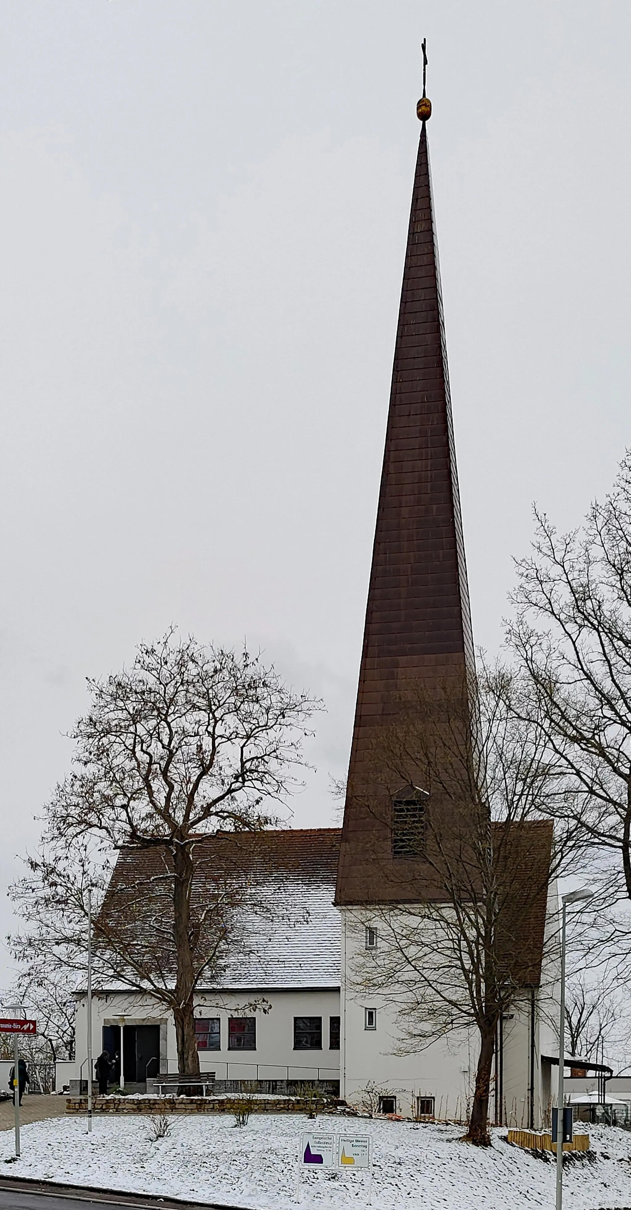
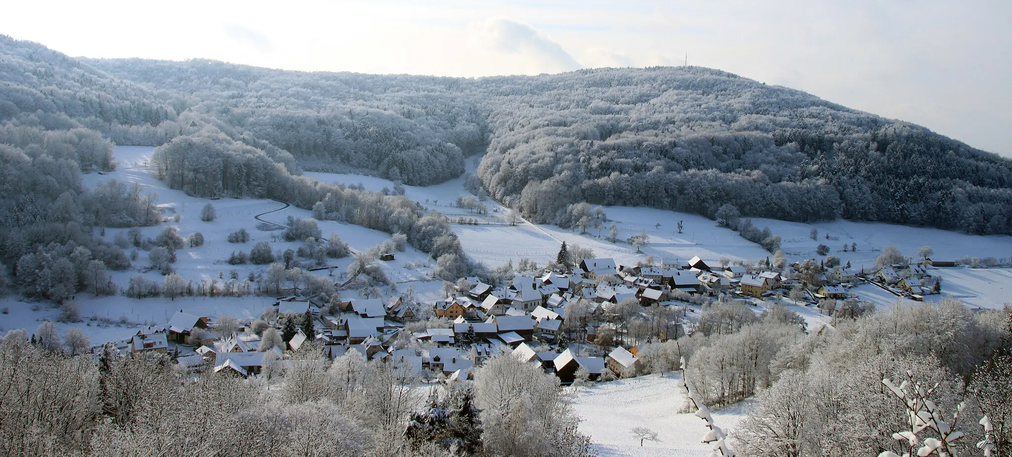
Bad StaffelsteinTownRelax and rejuvenate in the thermal baths of Bad Staffelstein.
9 km
9 km
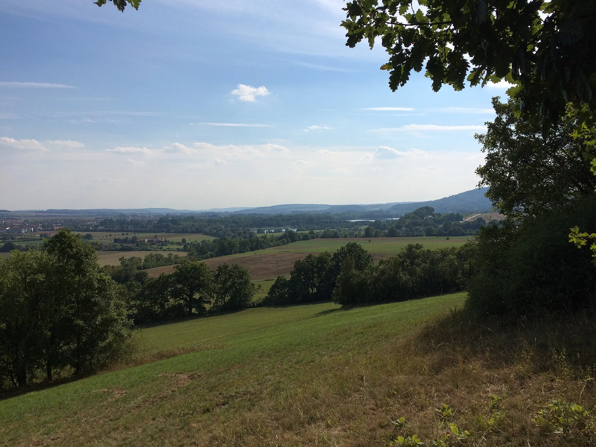
MaintalblickViewpointEnjoy panoramic views from the Maintalblick viewpoint.
17 km
17 km
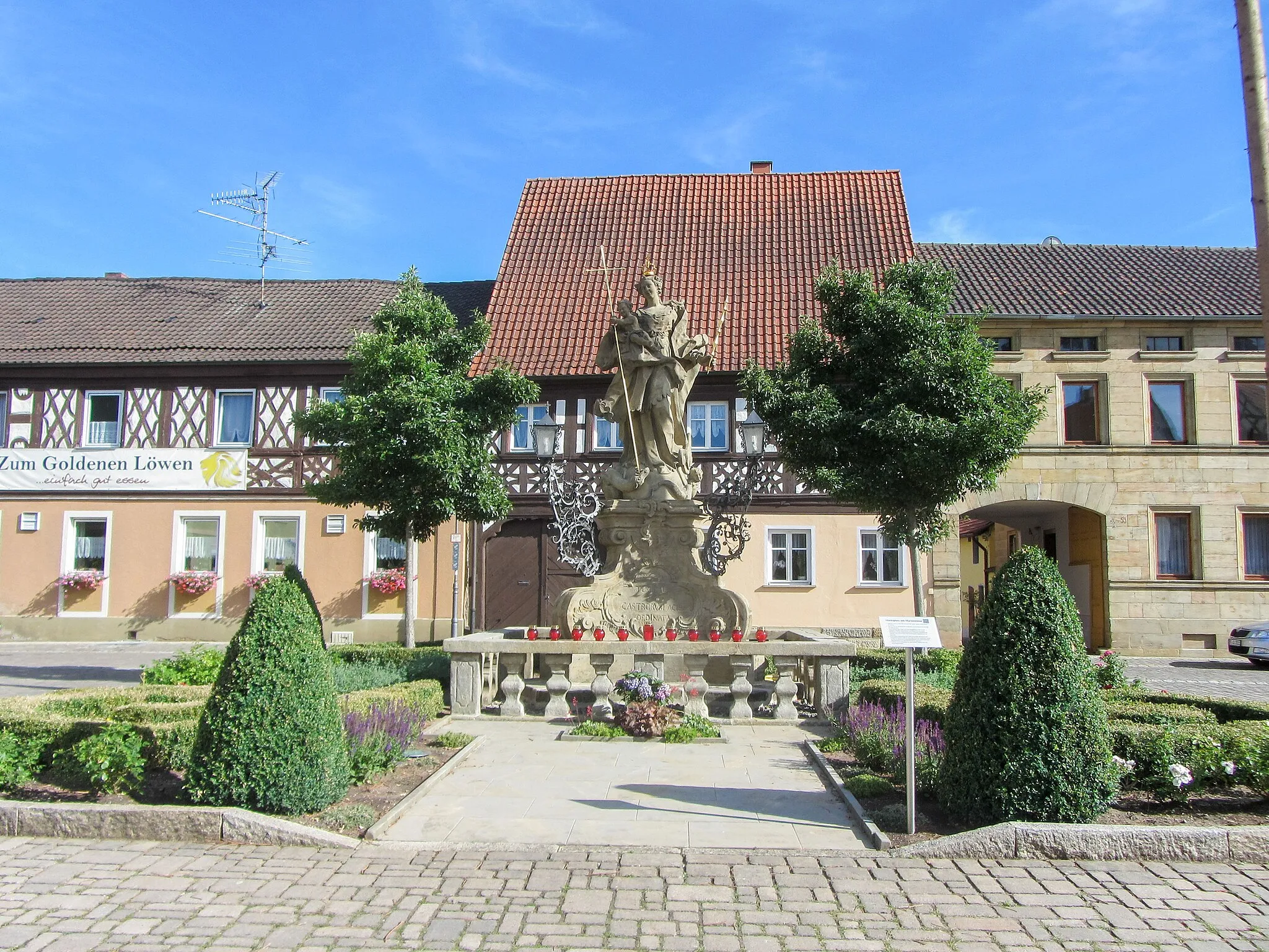
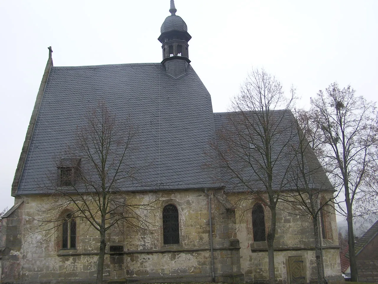
Buch am ForstVillagePass through the picturesque village of Buch am Forst.
33 km
33 km
Wasunger Berg440 mPeakChallenge yourself with the climb up Wasunger Berg.
41 km
41 km
Mitwitzer Berg435 mPeakExperience the exhilarating Mitwitzer Berg ascent.
54 km
54 km
Hochstadt a.MainVillageAdmire the scenic views from Hochstadt a.Main.
68 km
68 km
Sulligknöcklein463 mPeak ViewpointConquer the Sulligknöcklein climb.
78 km
78 km
EbensfeldVillageStart or end your journey in the charming town of Ebensfeld.
78 km
78 km
Finish: Ebensfeld Village centerEbensfeld: Cycling paradise in Oberfranken
Cycling routes from Ebensfeld:
Breitengüßbach to Ummersberg Round-Trip Untermerzbach to Bad Staffelstein Round-Trip Hemmendorf to Ebensfeld Gravel Adventure Bad Staffelstein to Ebensfeld Gravel Excursion The Bismarckturm Lichtenfels Loop Krögelhof Loop Ebensfeld Adventure Nature Escape Scenic Road Adventure Wiesen Exploration Untermerzbach Gravel Adventure Bad Staffelstein Loop Ebensfeld Gravel Challenge Coburg and Beyond
Cycling routes nearby: