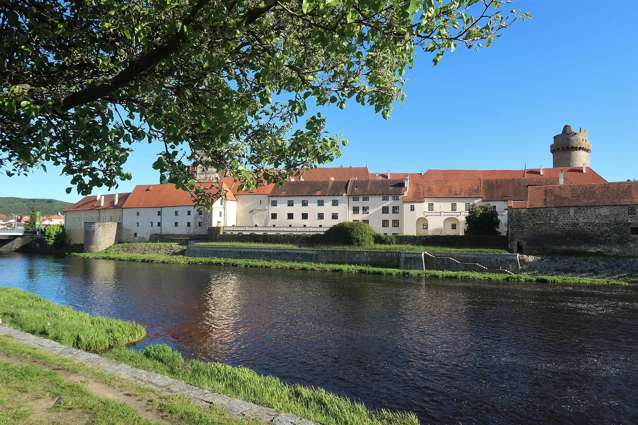
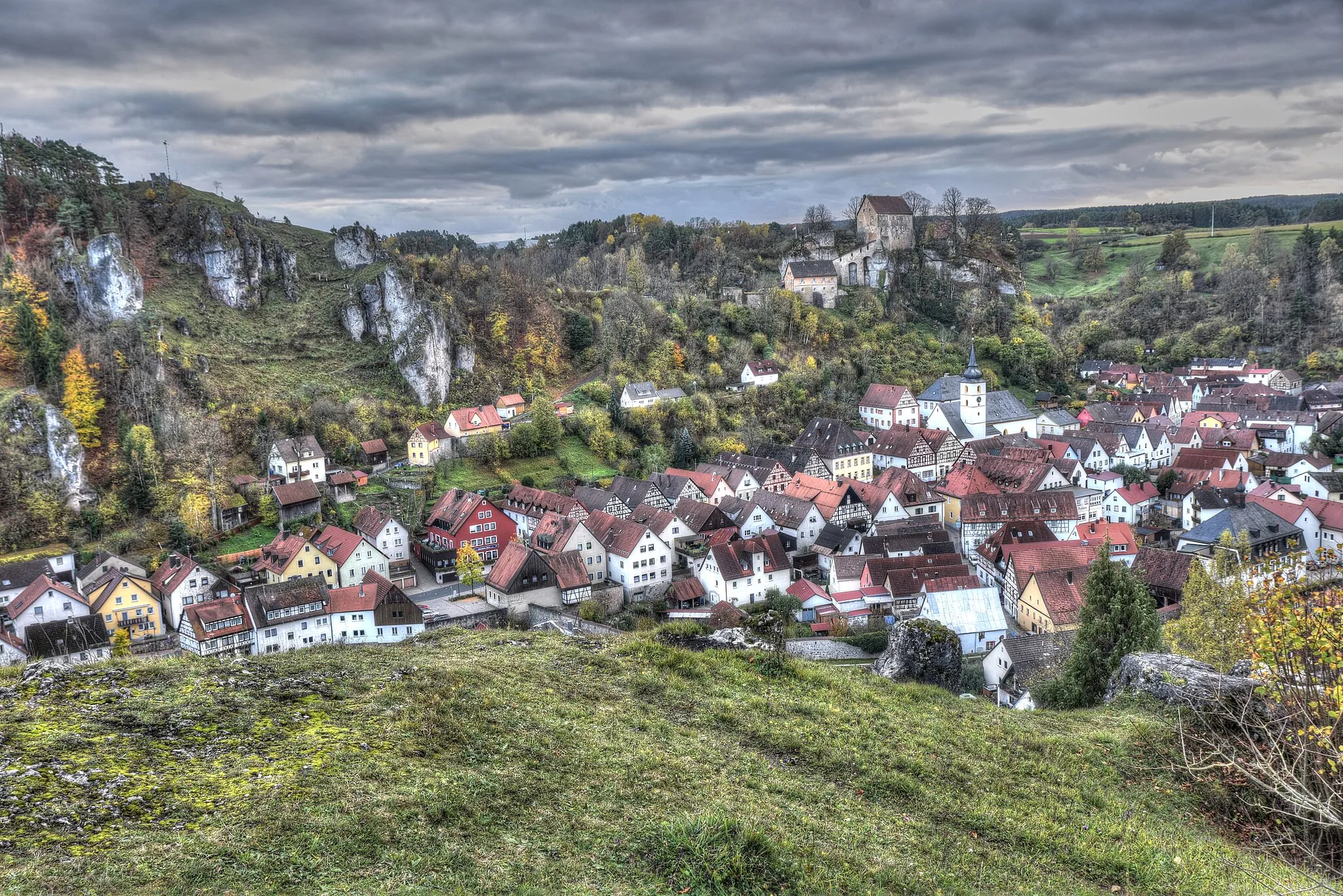
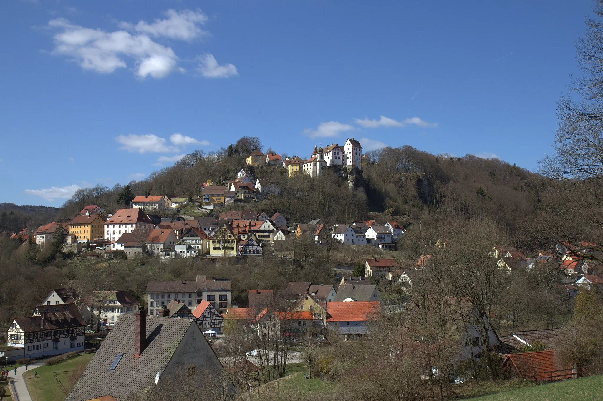
Cycling through picturesque scenery in Gößweinstein
Cycling routes from Goessweinstein
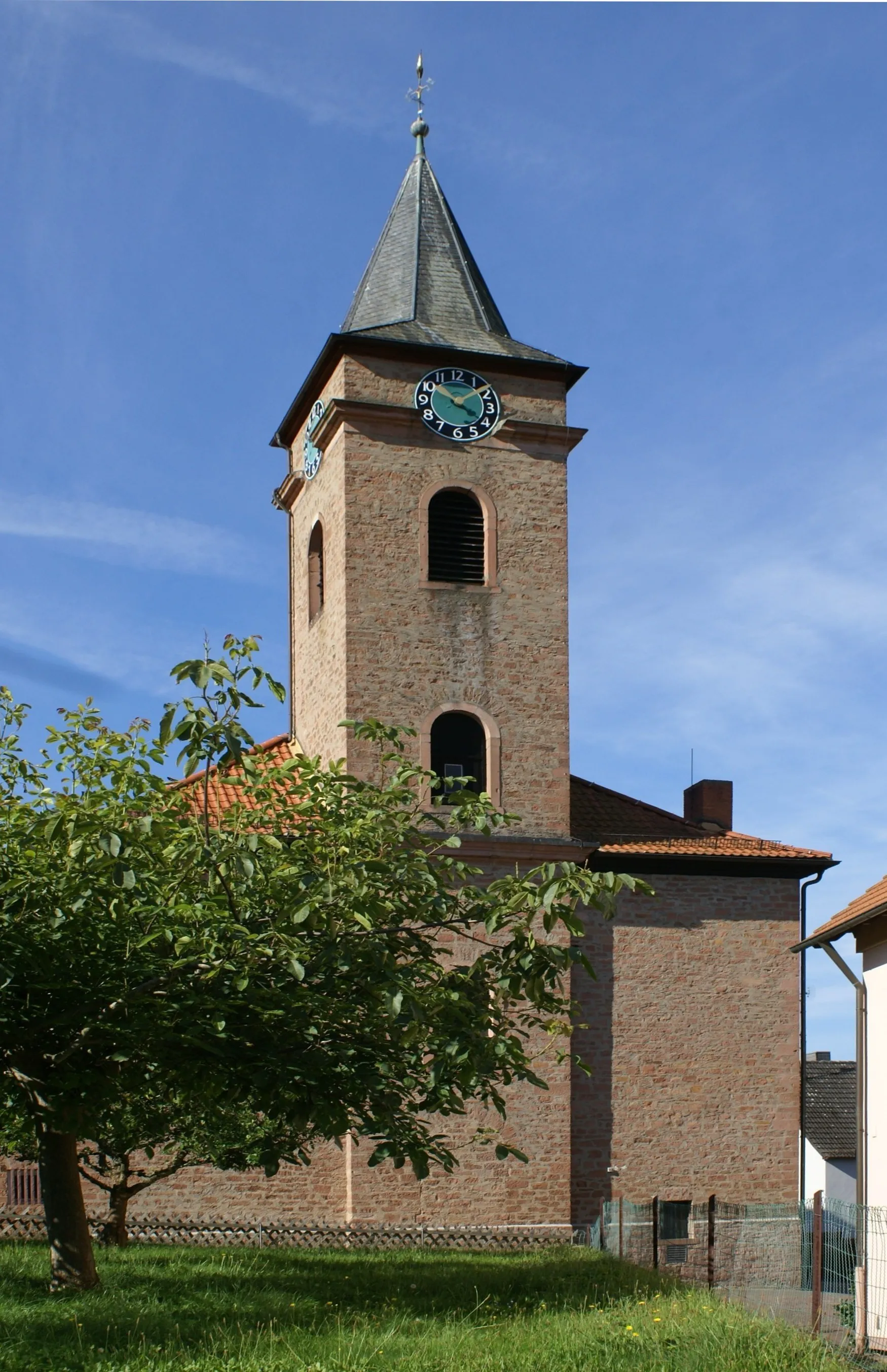
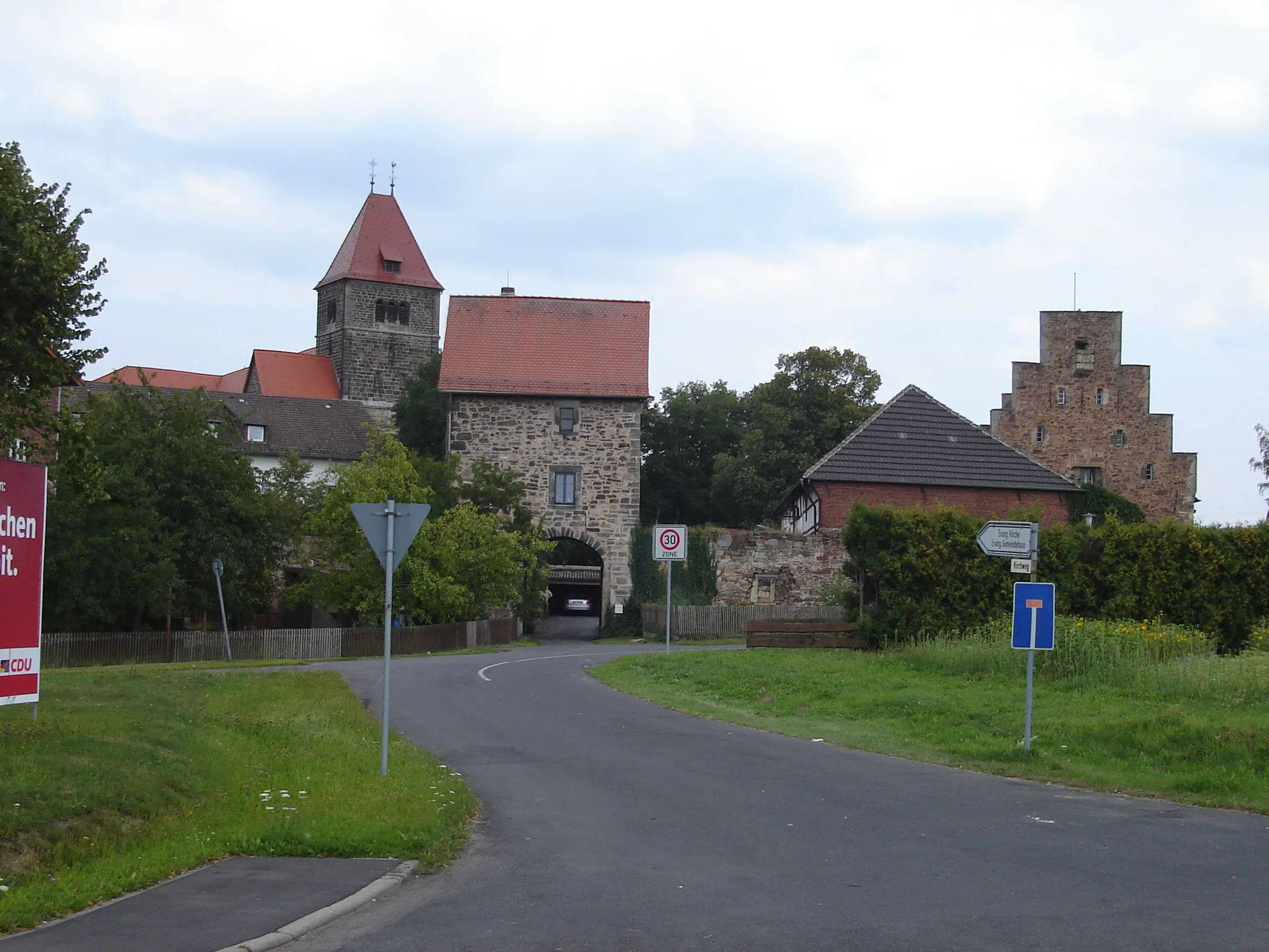
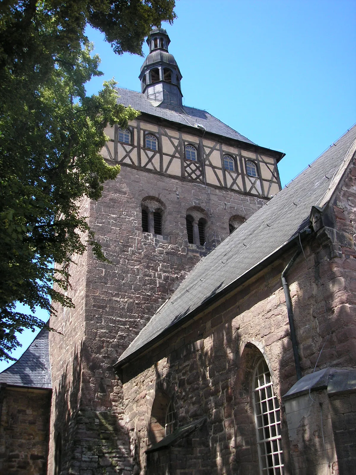
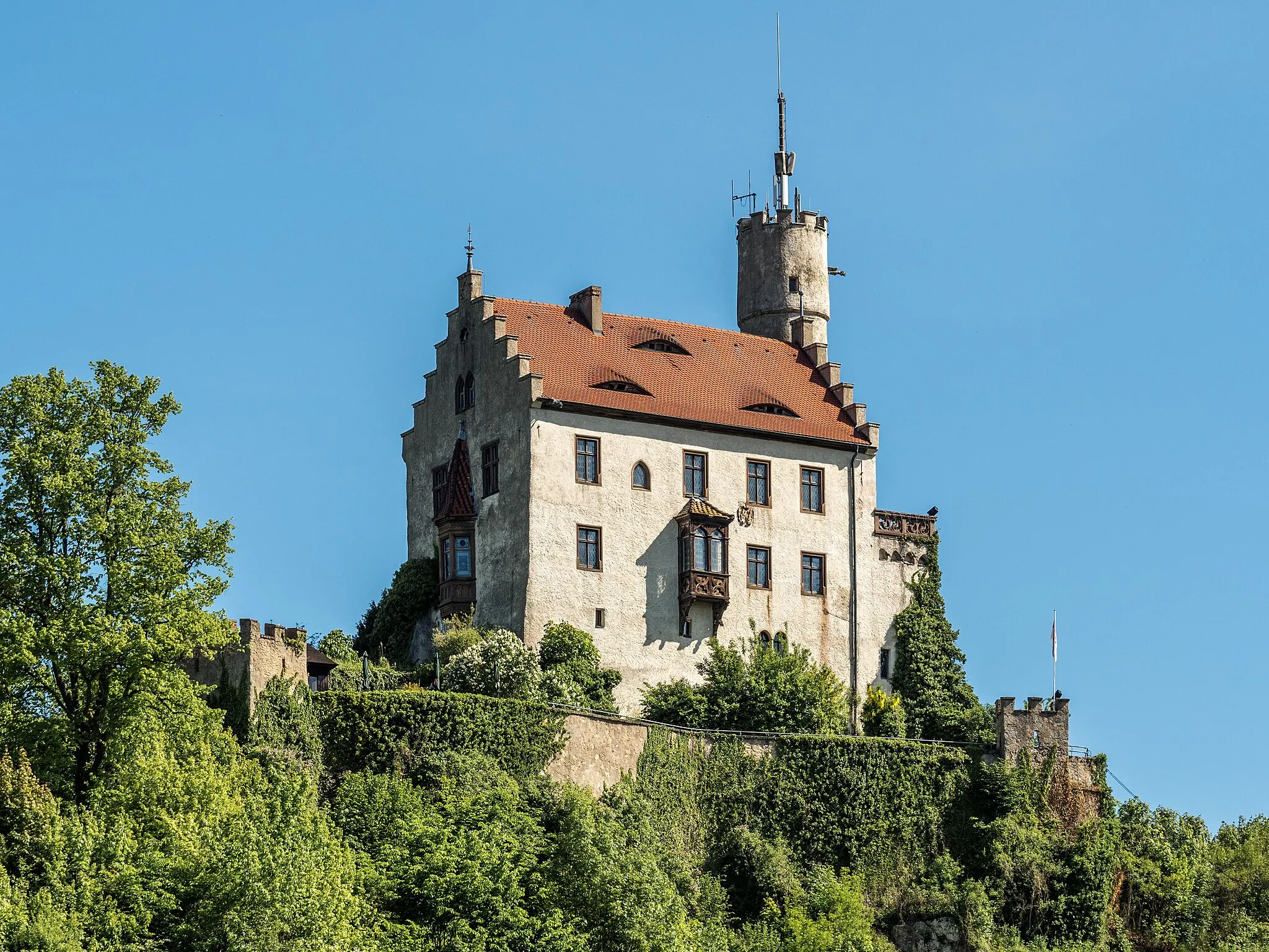
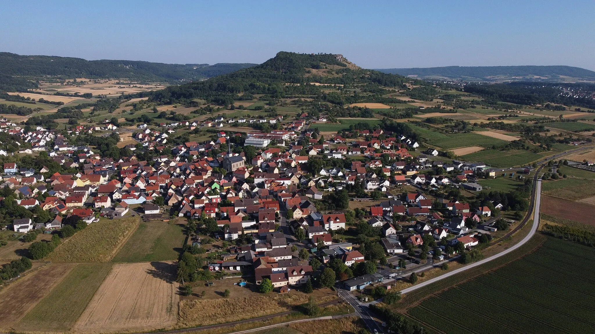
Gößweinstein is a picturesque town located in Oberfranken, Germany. From a cyclist's perspective, it offers a variety of cycling routes through rolling hills and beautiful countryside. The town itself has ample facilities for cyclists, including bike shops and repair shops. One of the highlights of cycling in Gößweinstein is the nearby climb up to the Gößweinstein Castle, which provides stunning views of the surrounding area. Overall, Gößweinstein is a great destination for road and gravel cyclists looking for scenic routes and a charming town.
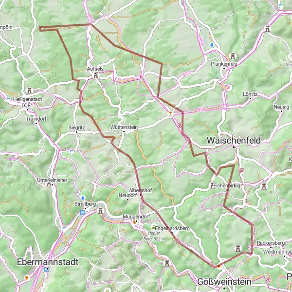
Take a thrilling gravel ride through the picturesque landscapes near Gößweinstein
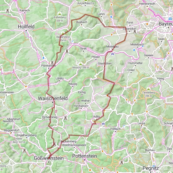
Embark on a 67 km gravel route that will lead you through some of the most captivating natural sceneries in the region. With a total ascent of 1292 m, this ride will challenge your skills and reward you with breathtaking views along the Way. Experience the rustic charm of Johannisburg, explore the historic town of Waischenfeld, and marvel at the medieval ruins of Plankenfels. Don't miss the stunning vistas from the Pfarrhügel hill, the panoramic beauty of Schöne Aussicht, and the impressive plateau of Hohenmirsberger Platte. Before completing the route, take a stop in Tüchersfeld and soak in the untouched beauty of this small village.
Embark on a delightful road cycling journey through the region
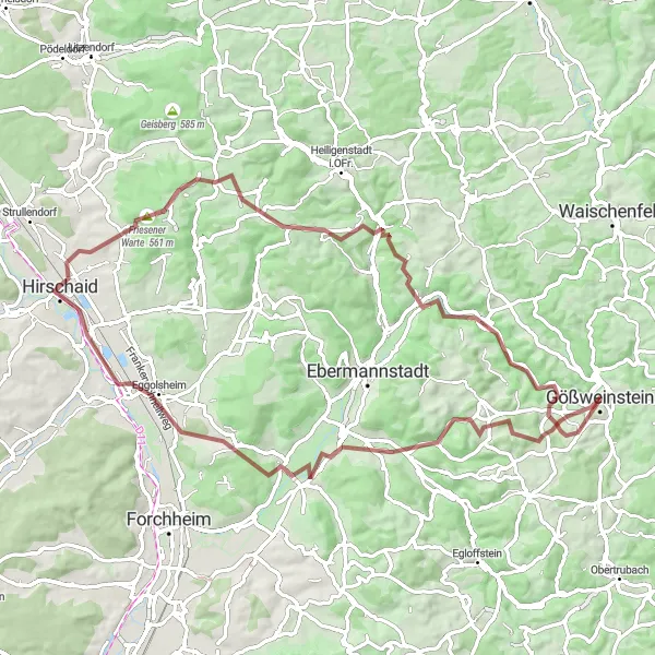
Discover the mesmerizing beauty of the region on this 63 km road route, featuring an ascent of 1143 m. Take in the charming sights of Johannisburg, explore the picturesque village of Betzenstein, and admire the historic Zwerchenberg castle ruins snuggled amidst scenic landscapes. Continue your adventure through the enchanting village of Unterachtel and pedal along the peaceful trails of Weißenohe. Discover the captivating views from Komtessenruh and stroll through the idyllic countryside of Almersberg. Let yourself be enchanted by the beauty of Hartenreuth before concluding the route.
Idyllic Gravel Ride in Franconia
Embark on a scenic gravel journey through the picturesque landscapes of Franconia
This charming gravel route showcases the rustic beauty and idyllic countryside of Franconia, perfect for nature lovers. With a total ascent of 1,279 meters and a distance of 76 kilometers, this route offers a moderate challenge. Explore highlights like Almersberg, Pretzfeld, and Johannisburg as you venture through the serene landscapes.
Gravel Adventure in Franconia
Embark on a thrilling gravel cycling adventure through the scenic landscapes of Franconia
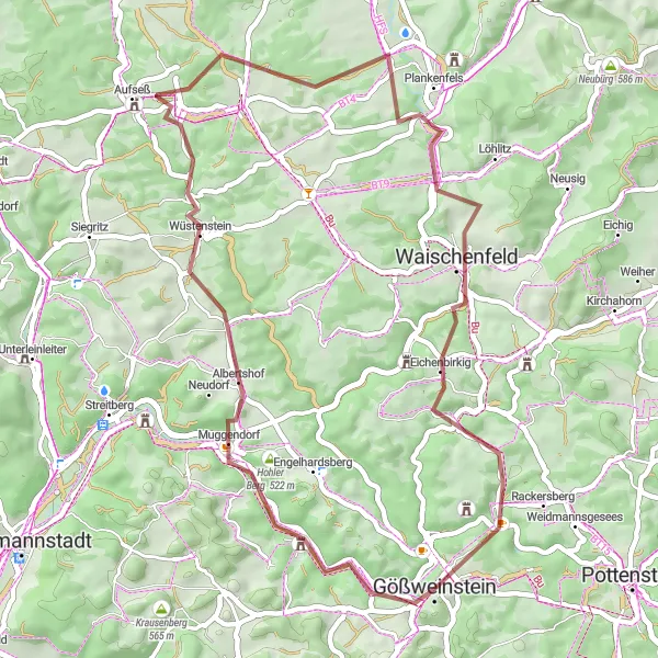
This captivating gravel route leads you through the rustic beauty of Franconia, offering unique off-road experiences. With a total ascent of 1,011 meters and a distance of 46 kilometers, this route is ideal for gravel enthusiasts looking for a challenge. Explore highlights such as Hohler Berg, Aufseßtal-Blick, and Gößweinstein on your journey.
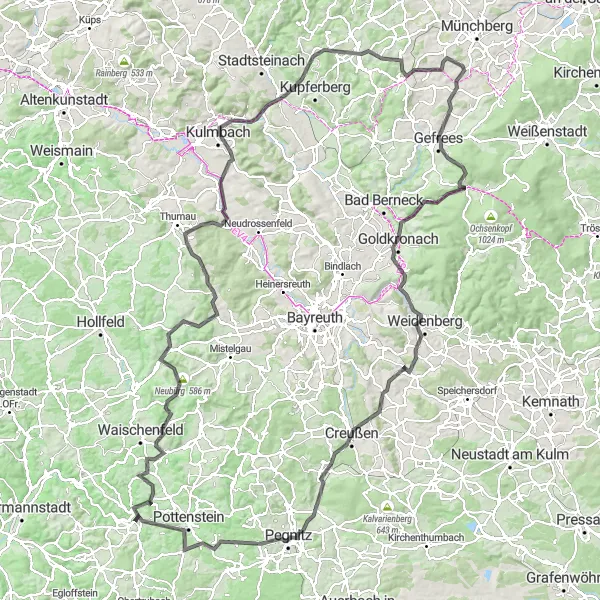
Embark on an astounding road adventure covering 169 km of challenging terrains
Embark on the ultimate cycling adventure covering 169 km of challenging terrains with a total ascent of 2607 m. Experience the dramatic beauty of Gößweinstein as you ride through the stunning landscapes along this route. Take in the panoramic view from Tüchersfeld, witness the grandeur of the Neubürg castle ruins, and marvel at the idyllic village of Obernsees. Explore the enchanting forests surrounding Horn, indulge in the rustic beauty of Partenfeld, and savor the exhilarating climb to Westrondell. Pedal through the scenic landscapes of Marktleugast and Gefrees before reaching the captivating town of Goldkronach. Enroute, enjoy the rolling vineyards of Weinberg, embrace the serenity of Pegnitz, and be amazed by the magnificent rock formations of Schlossfelsen. Finally, conclude your epic journey in Gößweinstein, immersing yourself in the striking beauty of this remarkable place.

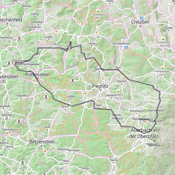
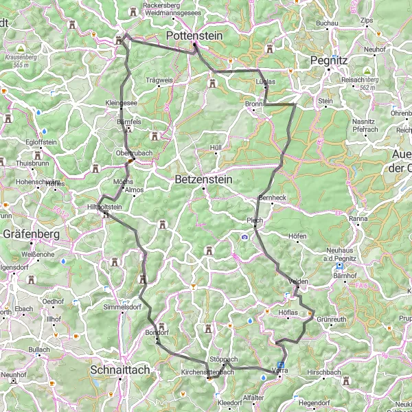
Experience the beauty of the road on this 58 km ride to Pottenstein
Take in the scenic beauty of the region on this 58 km road route with an ascent of 1012 m. Enjoy the ride through quaint villages and lush countryside as you make your way to the charming town of Pottenstein. Discover the impressive architecture of Johannisburg, pedal through the picturesque town of Atzenberg, and admire the tranquility of Lüglas. Take a moment to pause at Plech and take in the panoramic views before continuing to Weinberg, where vineyards line the landscape. Explore the historical town of Arzberg and bask in the beauty of Obertrubach before reaching the serene village of Stadelhofen. Conclude the route with a visit to Kreuzberg and marvel at the view from atop.
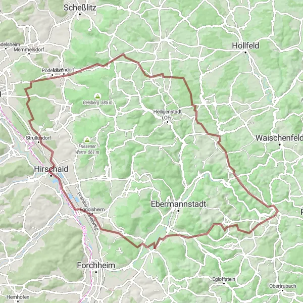
Experience the diversity of Franconia's gravel routes on this scenic cycling tour
Uncover the hidden gems of Franconia on this thrilling gravel tour, which combines challenging climbs, forested paths, and scenic vistas. With a total ascent of 1,295 meters and a distance of 93 kilometers, this route is suitable for gravel enthusiasts seeking a moderate challenge. Explore highlights like Almersberg, Kirchehrenbach, and Johannisburg along the way.
Embark on a thrilling road cycling adventure through the diverse landscapes of Franconia
This exhilarating road cycling route takes you on a scenic journey through the varying landscapes of Franconia, from rolling hills to picturesque valleys. With a total ascent of 1,158 meters and a distance of 67 kilometers, this route offers a moderately challenging ride. Discover highlights such as Hohenmirsberger Platte, Ebersberg, and Schlossfelsen along the way.
Embark on an off-road adventure through the wild landscapes of Franconian Switzerland on this gravel cycling route.
This thrilling gravel cycling route takes you off the beaten path and onto the rugged trails of Franconian Switzerland. With a total ascent of 882 meters and a distance of 51 kilometers, this challenging ride is ideal for experienced gravel riders looking for an adrenaline-filled adventure. The highlights along the route include the historic Johannisburg castle, the picturesque village of Gößweinstein, and the stunning views from Taschnersfelsen. Don't miss the Aufseßtal-Blick viewpoint and the unique rock formations at Hundshof. As you ride through Zochenreuth, enjoy the tranquil beauty of the surrounding nature. End your journey at Tüchersfeld, where impressive cliffs and a charming village await.
Discover the scenic hills and picturesque villages of Franconian Switzerland on this challenging road cycling route.
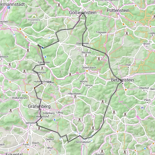
This epic road cycling route takes you through the beautiful landscapes of Franconian Switzerland, with its rolling hills and charming villages. Along the way, you will encounter challenging climbs and thrilling descents, making it a perfect route for experienced cyclists. The highlights of this route include the historic Johannisburg castle, the stunning Pottenstein rock formations, and the scenic views from Gottvaterberg. With a total ascent of 1695 meters and a distance of 83 kilometers, this ride is not for the faint-hearted.
Cycling routes nearby:


Nearby regions: