A Road Cycling Adventure in Franconia
A road cycling route starting from Goessweinstein
Embark on a thrilling road cycling adventure through the diverse landscapes of Franconia
Map
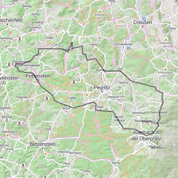
This exhilarating road cycling route takes you on a scenic journey through the varying landscapes of Franconia, from rolling hills to picturesque valleys. With a total ascent of 1,158 meters and a distance of 67 kilometers, this route offers a moderately challenging ride. Discover highlights such as Hohenmirsberger Platte, Ebersberg, and Schlossfelsen along the way.
road
67 km
1158 m
Tough
Route profile
Highlights on the route
0 km
0 km
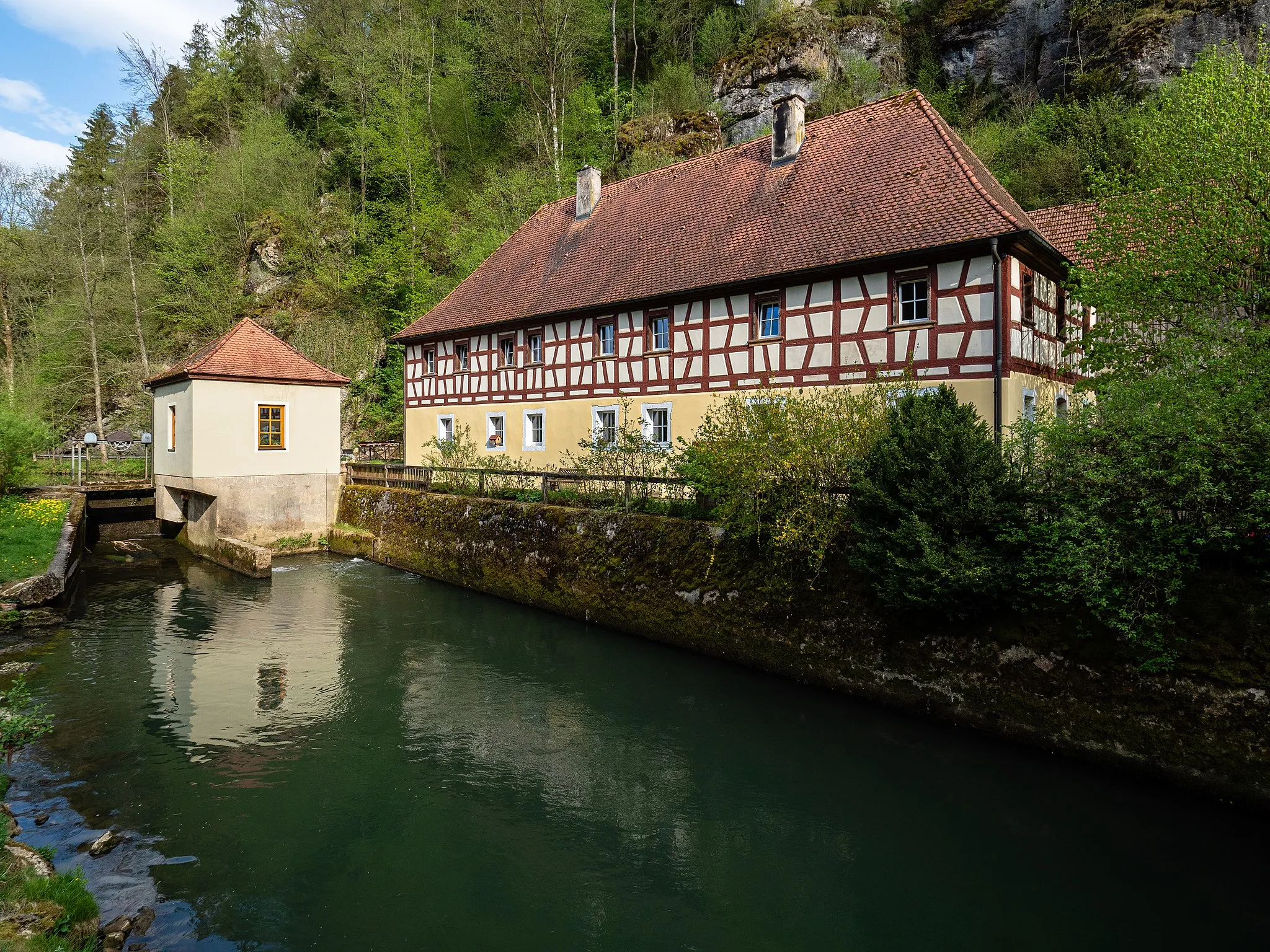
Start: Tüchersfeld Village centerGößweinstein: Cycling through picturesque scenery in Gößweinstein
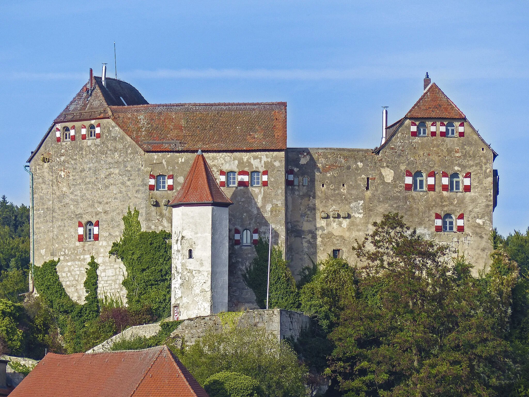
Gößweinstein is a picturesque town located in Oberfranken, Germany. From a cyclist's perspective, it offers a variety of cycling routes through rolling hills and beautiful countryside. The town itself has ample facilities for cyclists, including bike shops and repair shops. One of the highlights of cycling in Gößweinstein is the nearby climb up to the Gößweinstein Castle, which provides stunning views of the surrounding area. Overall, Gößweinstein is a great destination for road and gravel cyclists looking for scenic routes and a charming town.8 km
8 km
Hohenmirsberger Platte614 mPeakAs you reach Hohenmirsberger Platte, soak in the panoramic views that stretch across the Franconian countryside, with its patchwork of fields and forests.
13 km
13 km
BodendorfVillagePass through Bodendorf and explore its charming rural atmosphere, with its traditional farmhouses and picturesque landscapes.
18 km
18 km
Eichetsberg521 mPeakEichetsberg offers stunning views of the surrounding vineyards and quaint villages, providing a true taste of Franconian wine country.
38 km
38 km
Ebersberg554 mPeakEbersberg showcases a perfect combination of historical charm and natural beauty, with its well-preserved medieval buildings and scenic hiking trails.
39 km
39 km
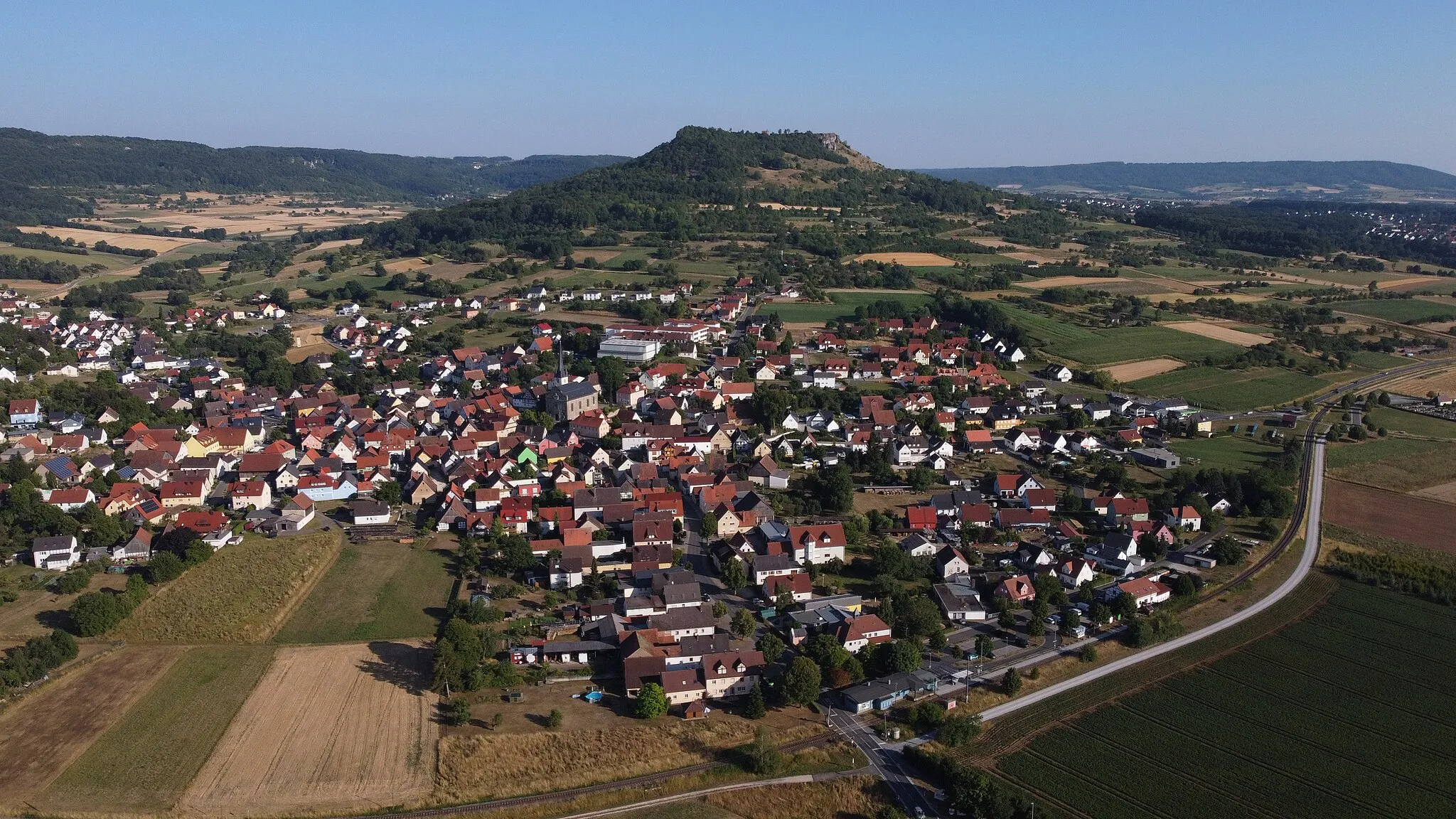
Auerbach in der OberpfalzTownOn your way to Auerbach in der Oberpfalz, marvel at the beauty of Rauher Kulm, an imposing volcanic cone that dominates the landscape.
51 km
51 km
Spitzberg497 mPeakSpitzberg rewards you with incredible views of the Fränkische Schweiz region, with its rugged limestone cliffs towering above the lush green meadows.
55 km
55 km
LüglasVillagePassing through Lüglas, you have the chance to visit Prehistory Park Altmühltal, where you can learn about the region's rich archaeological history.
62 km
62 km
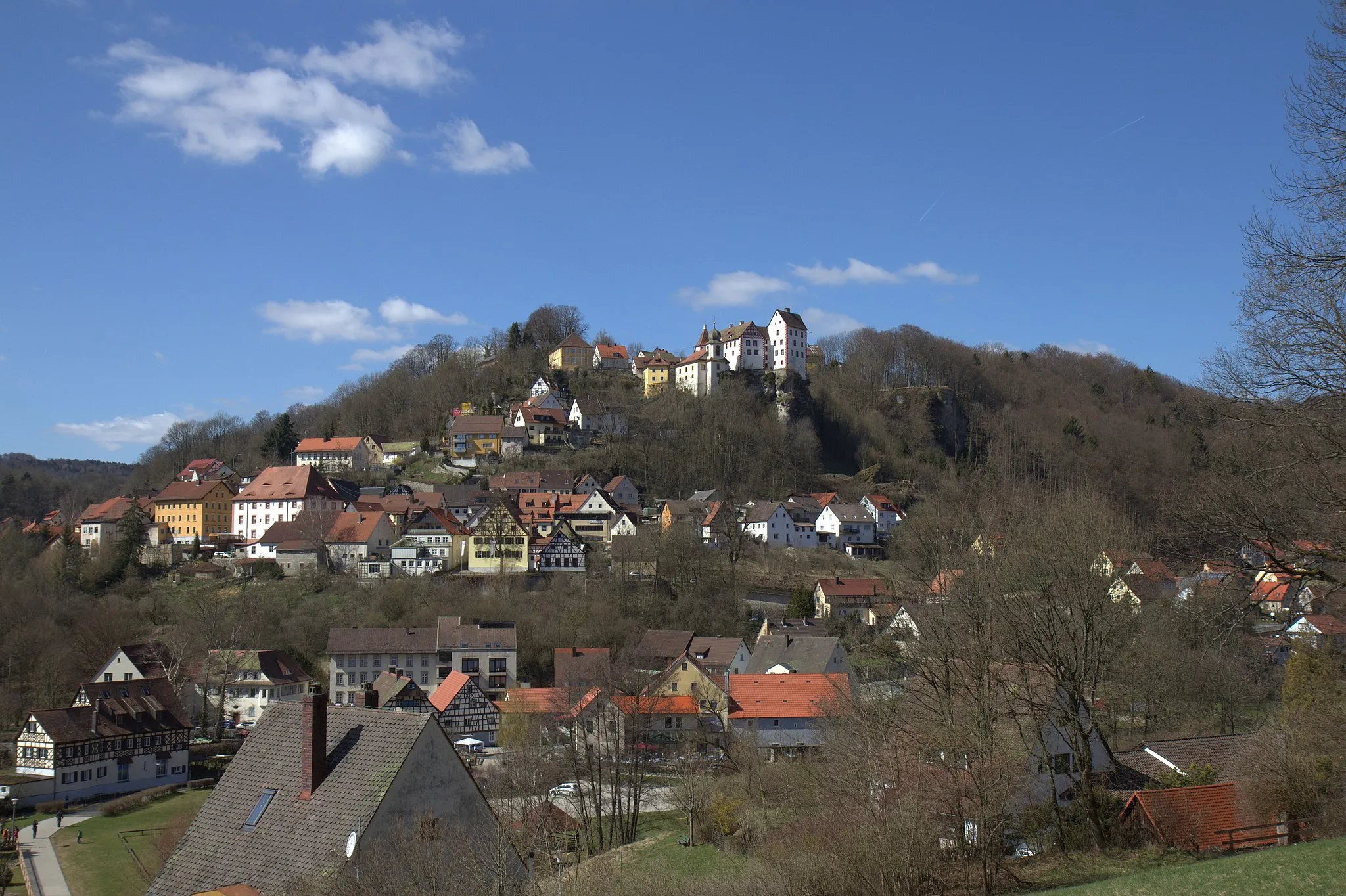
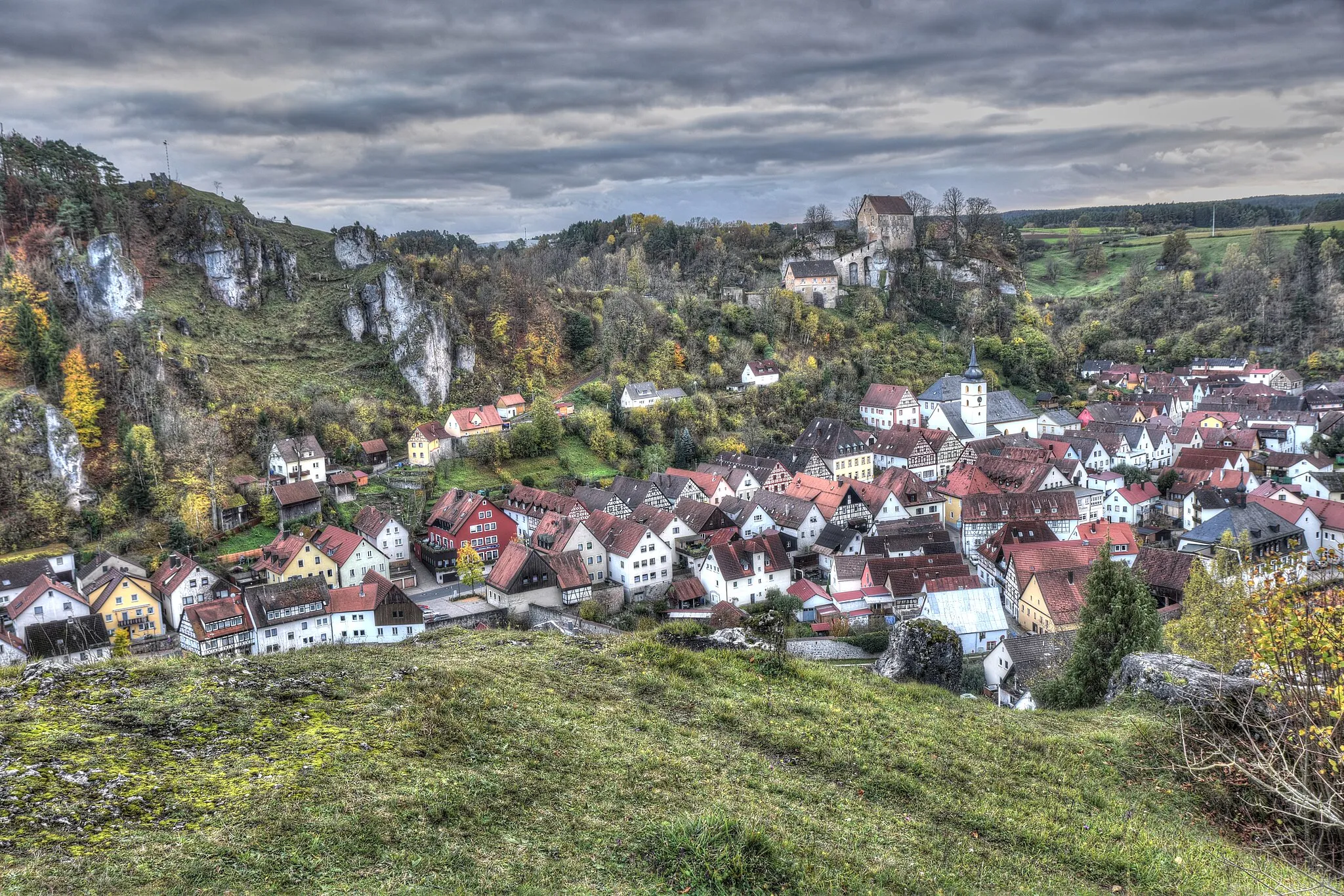
PottensteinTownPottenstein invites you to explore its iconic rock formations and enjoy breathtaking views from its impressive castle ruins.
65 km
65 km
SchlossfelsenViewpointSchlossfelsen, a hidden gem, offers a magical setting with its castle ruins perched on top of a rocky cliff, providing panoramic views of the surrounding landscapes.
67 km
67 km
Finish: Tüchersfeld Village centerGößweinstein: Cycling through picturesque scenery in Gößweinstein
Cycling routes from Goessweinstein:
Scenic Road Tour to Pottenstein Discover Franconia's Gravel Trails A Road Cycling Adventure in Franconia Idyllic Gravel Ride in Franconia The Franconian Rollercoaster Exploring the Region's Delights by Road Ultimate Road Challenge: The Hilly Adventure Off-road Adventure in Franconian Switzerland Gravel Adventure in Franconia Charming Gravel Adventure around Gößweinstein
Cycling routes nearby: