Laitscher Berg and Neudrossenfeld Scenic Road Ride
A road cycling route starting from Himmelkron
Experience breathtaking views from Laitscher Berg and explore the scenic village of Neudrossenfeld.
Map

Embark on a scenic road ride starting near Himmelkron and enjoy exhilarating views from Laitscher Berg. Discover the picturesque village of Neudrossenfeld while exploring beautiful Franconian landscapes. With a total ascent of 687 meters and a distance of 49 kilometers, this route offers a moderate difficulty level suitable for well-trained amateurs. The epicness score of this ride is 3, owing to the scenic highlights and charming destinations along the way.
road
49 km
687 m
Tough
Route profile
Highlights on the route
0 km
0 km
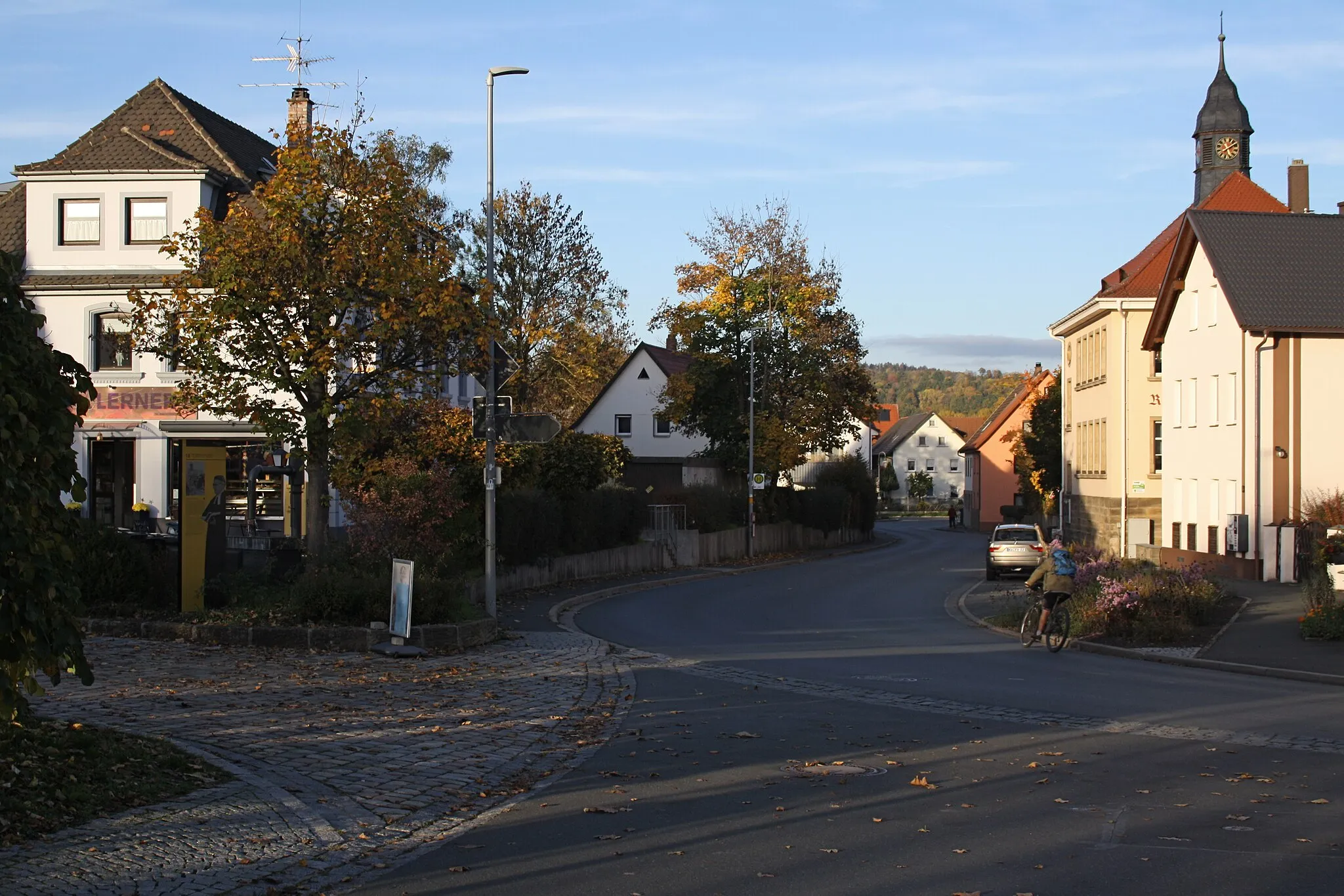
Start: Himmelkron Village centerHimmelkron: Tranquil cycling haven in Oberfranken region.
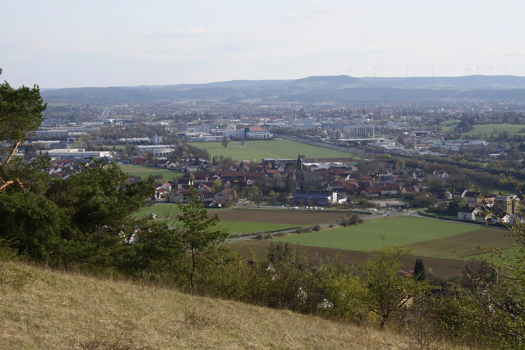
Himmelkron, located in the Oberfranken region of Germany, is a hidden gem for road cyclists. The region is home to some of the most stunning landscapes in Germany, with rolling hills and lush countryside. The peaceful roads offer a perfect setting for cycling, with minimal traffic and breathtaking scenery. Himmelkron is also known for its well-maintained cycling infrastructure, including dedicated cycling paths and signage. While there may not be any famous cycling spots or climbs in Himmelkron, it provides a tranquil and picturesque environment for cyclists to enjoy.3 km
3 km
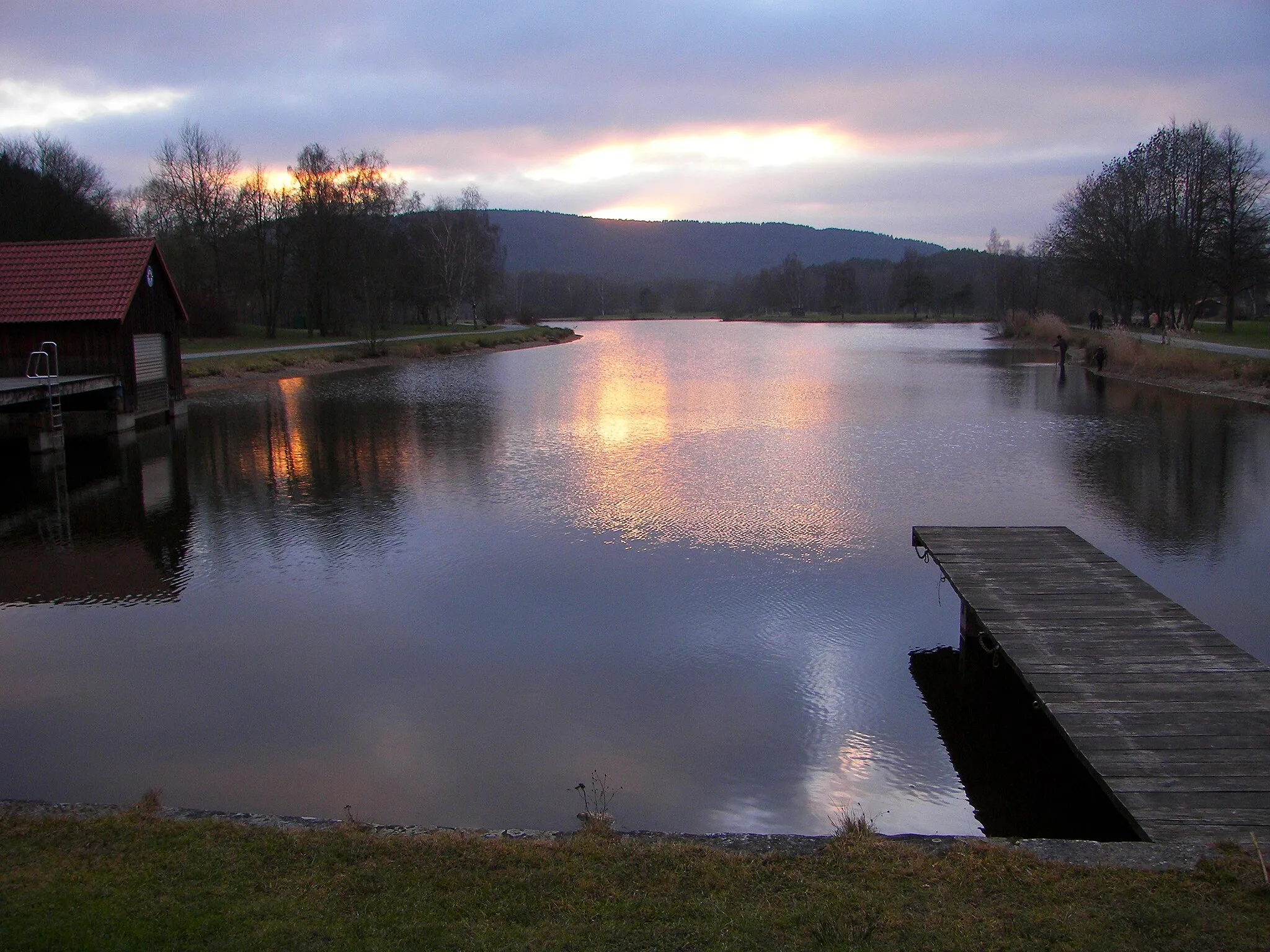
Laitscher Berg492 mPeakEnjoy picturesque views from Laitscher Berg, located approximately 3 kilometers into the ride.
12 km
12 km
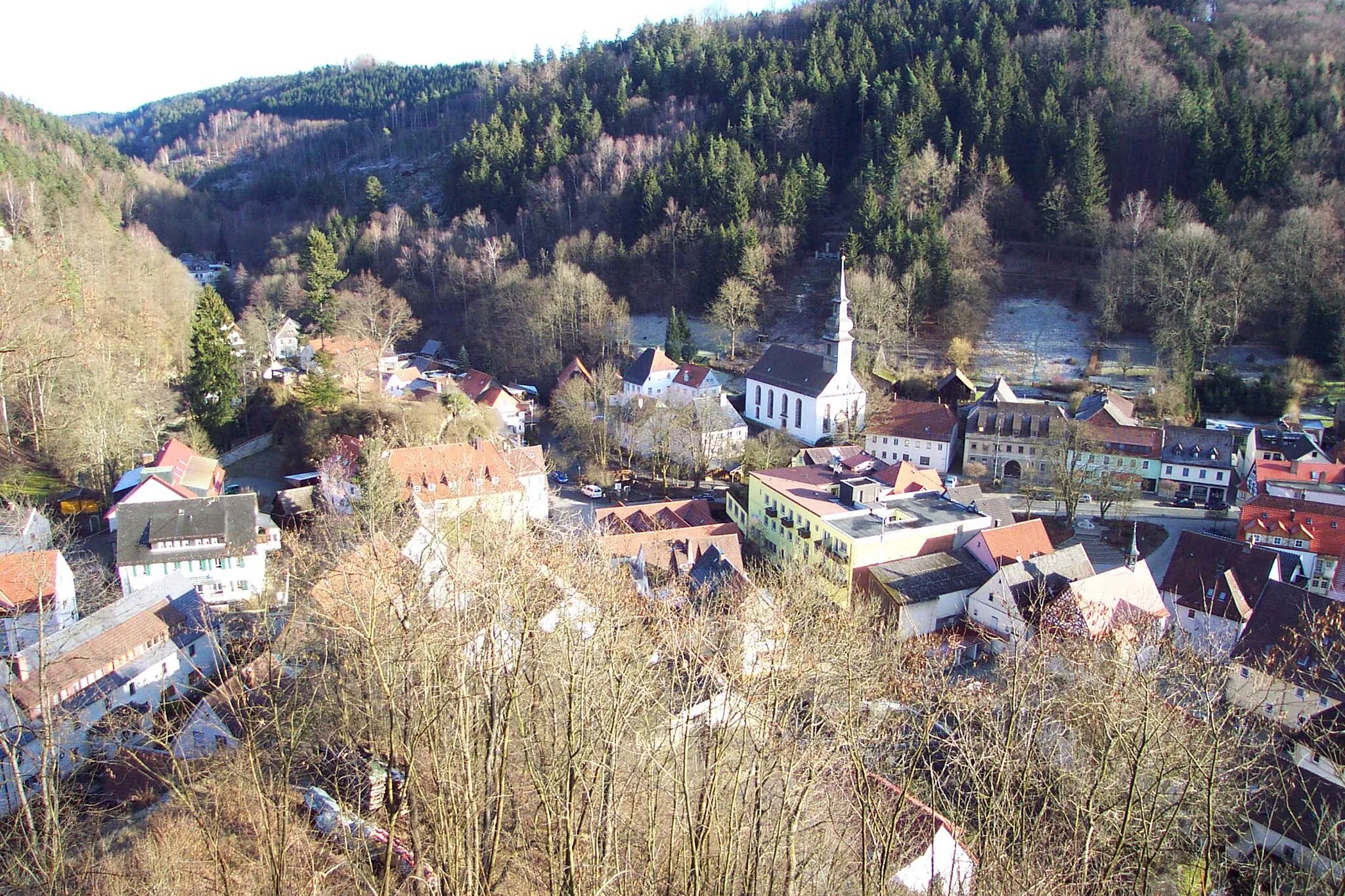
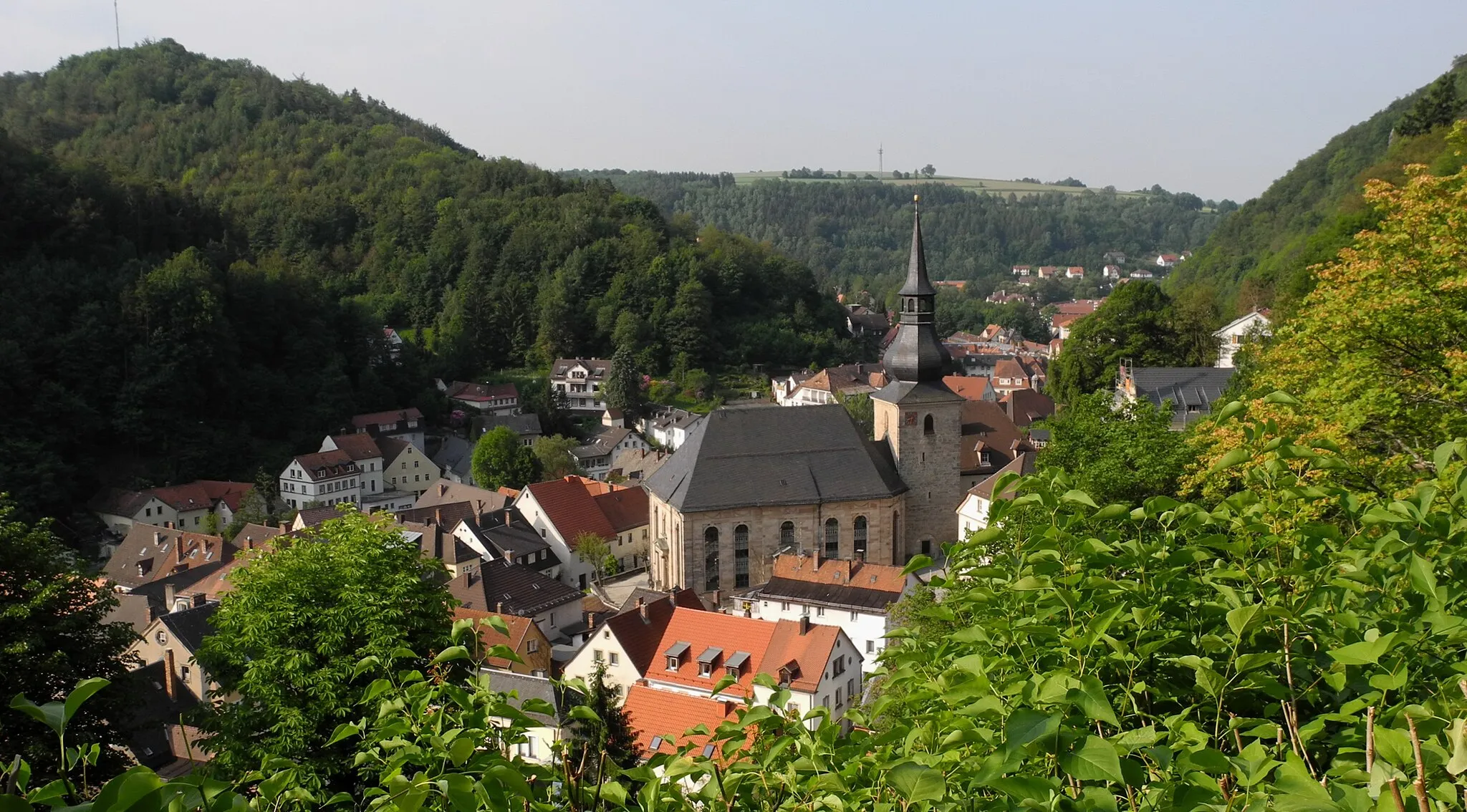
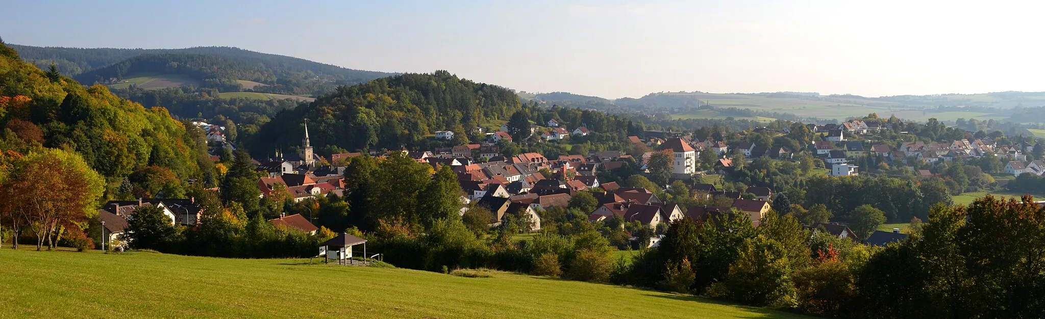
NeudrossenfeldVillageAt the 12-kilometer point, reach Neudrossenfeld, a scenic village with traditional Franconian architecture and beautiful surroundings.
22 km
22 km
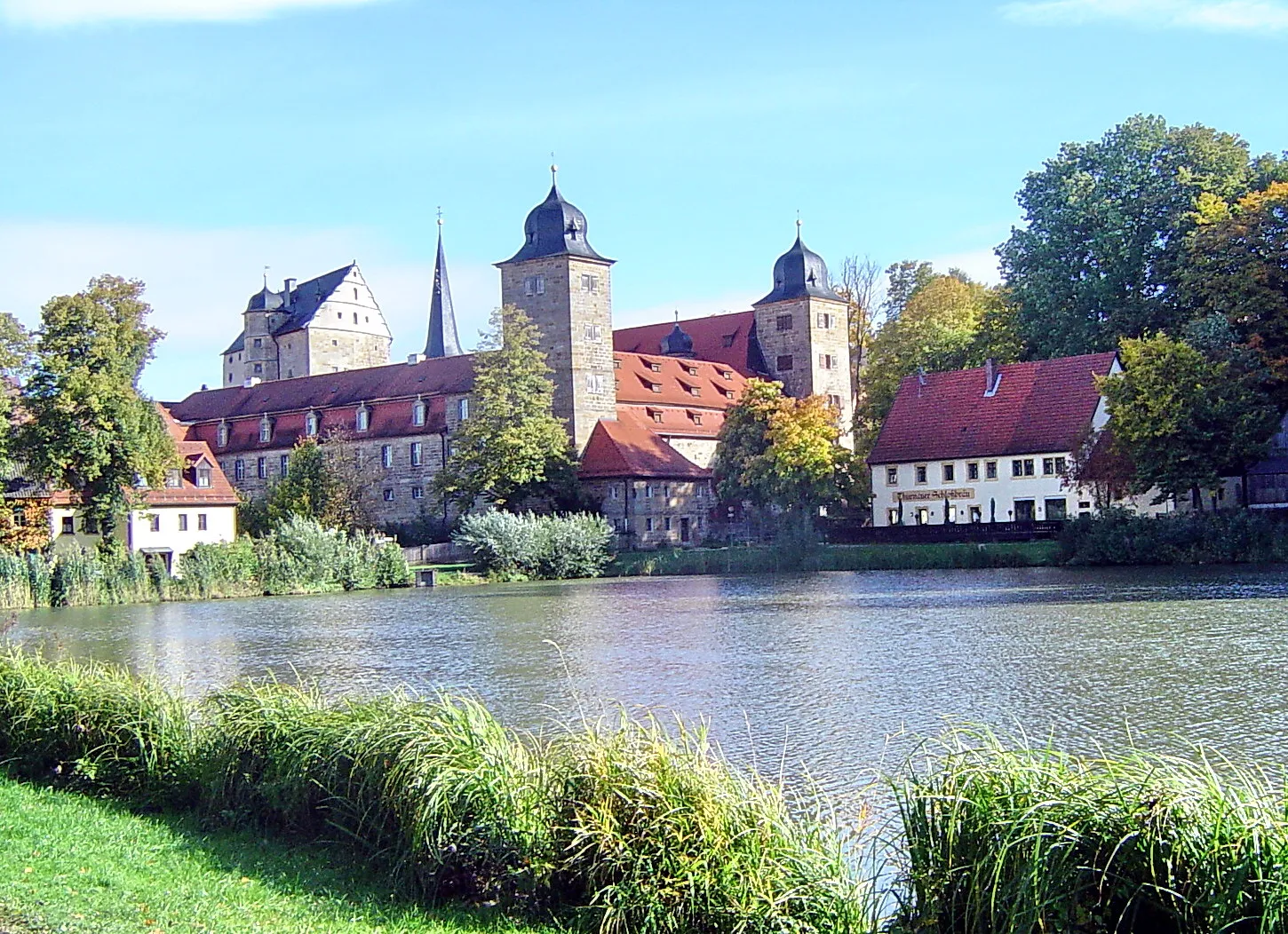
ThurnauVillageCycle through Thurnau, known for its charming atmosphere and historic buildings.
36 km
36 km
Rehberg494 mPeakEmbrace scenic vistas from Rehberg, a hill renowned for its breathtaking panoramic views.
42 km
42 km
KödnitzVillageAt the 42-kilometer mark, pass by Ködnitz, a small village renowned for its agricultural heritage and idyllic rural landscapes.
47 km
47 km
PavillonShelterExperience the tranquility of Pavillon, located approximately 47 kilometers into the ride, amidst beautiful natural surroundings.
49 km
49 km
Finish: Himmelkron Village centerHimmelkron: Tranquil cycling haven in Oberfranken region.
Cycling routes from Himmelkron:
Countryside Road Loop Weißensteinturm and Rotes Schloß Road Adventure Marktschorgast and the Torfmoorhölle Gravel Adventure Laitscher Berg and Neudrossenfeld Scenic Road Ride Harsdorf and Sanspareil Gravel Exploration Gravel Adventure Himmelkron Rolling Hills Road Tour Scenic Road Tour Near Himmelkron Weinberg and Bayreuth Explore Gravel Route Gravel Ride to Bayreuth Himmelkron Gravel Adventure Himmelkron Road Explorer
Cycling routes nearby: