The Gravel Adventure
A gravel cycling route starting from Kronach
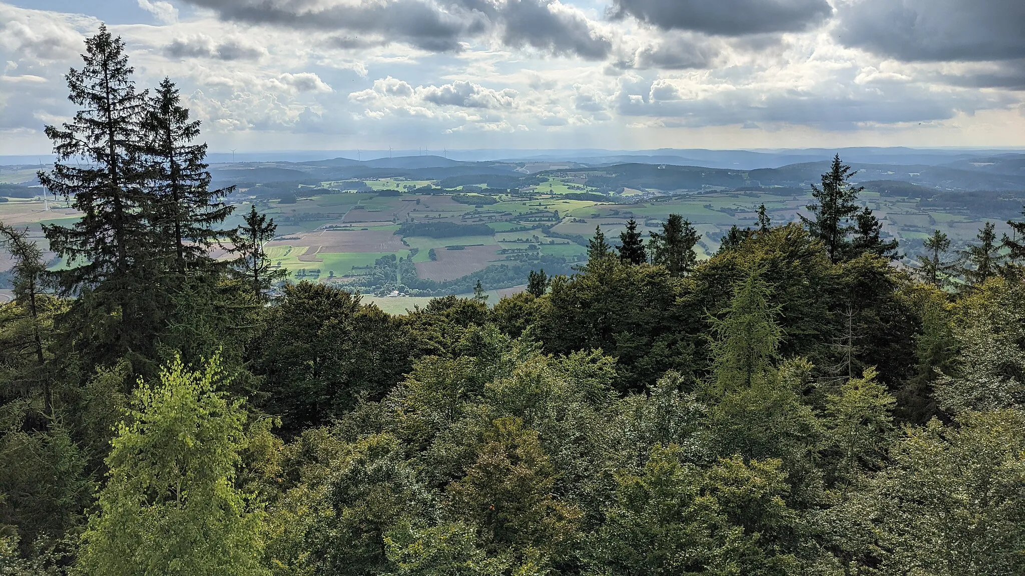
Explore the rugged terrain of Oberfranken on this exciting gravel route
Map
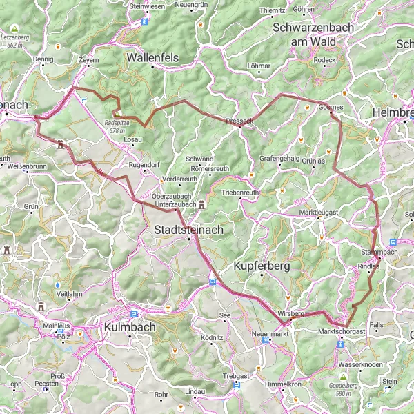
This gravel route in the beautiful region of Oberfranken takes you on an adventure through diverse landscapes, including charming towns and challenging terrains. With a total distance of 81km and an ascent of 1198m, it is suited for well-trained amateur cyclists. The route features several highlights such as Marktrodach, a picturesque market town nestled in the hills, and Weißensteinturm, a historic tower offering stunning panoramic views. Overall, this gravel adventure promises a thrilling experience amidst natural beauty and cultural heritage.
gravel
81 km
1198 m
Tough
Route profile
Highlights on the route
0 km
0 km
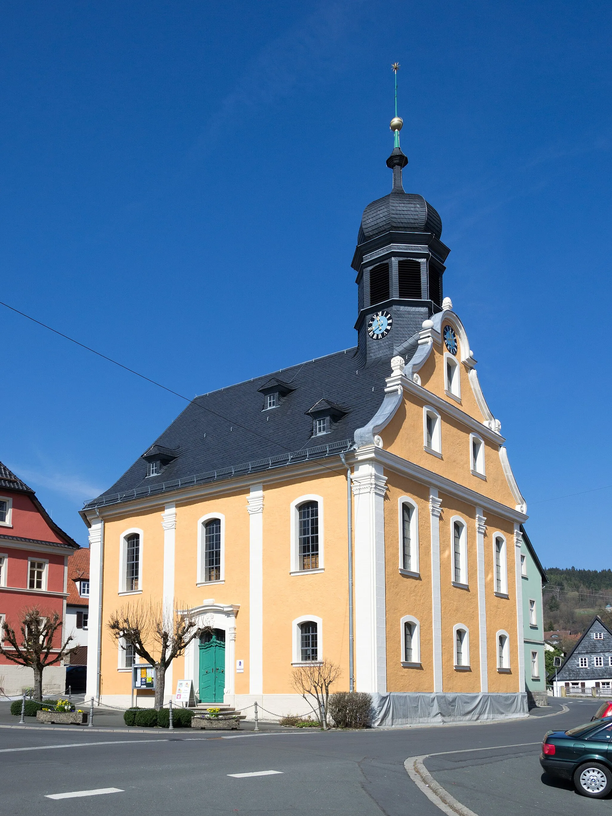
Start: Ruppen Village centerKronach: Pedaling through the medieval charm of Kronach
Kronach in Oberfranken, Germany is a historic town rich in cycling opportunities. Road and gravel cyclists can explore the local medieval architecture and picturesque countryside while enjoying smooth paths and quiet routes. Kronach is also famous for the Franconian Forest and the popular cycling spot known as Frankenwald-Radmarathon, attracting cyclists from all over the country. With its friendly locals and scenic surroundings, Kronach offers a delightful cycling getaway.3 km
3 km
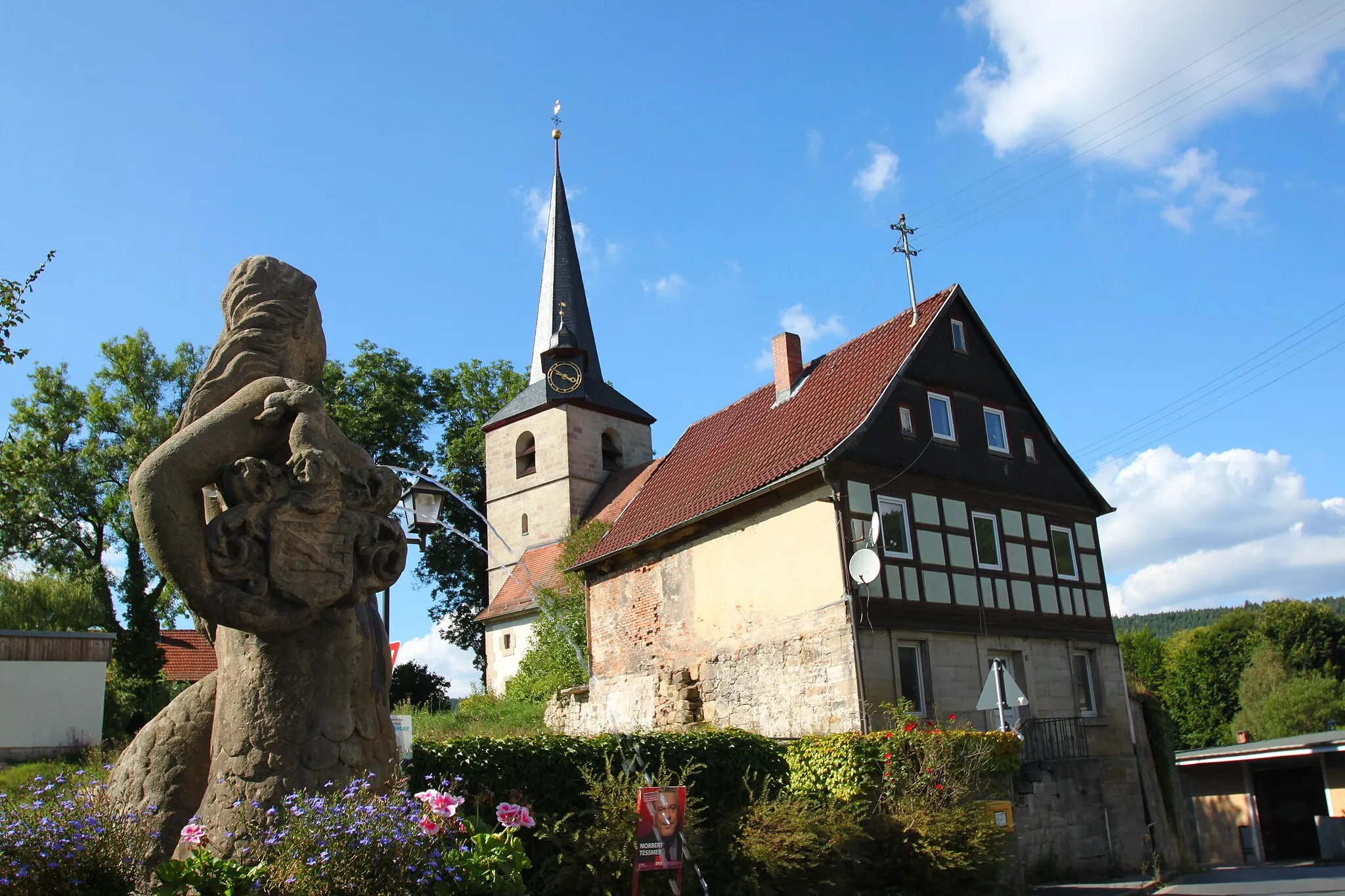
MarktrodachVillageMarktrodach is a charming market town surrounded by lush green hills, offering a perfect resting spot for cyclists.
9 km
9 km
Radspitze678 mPeakAt the summit of Radspitze, enjoy breathtaking views of the surrounding countryside and forests.
20 km
20 km
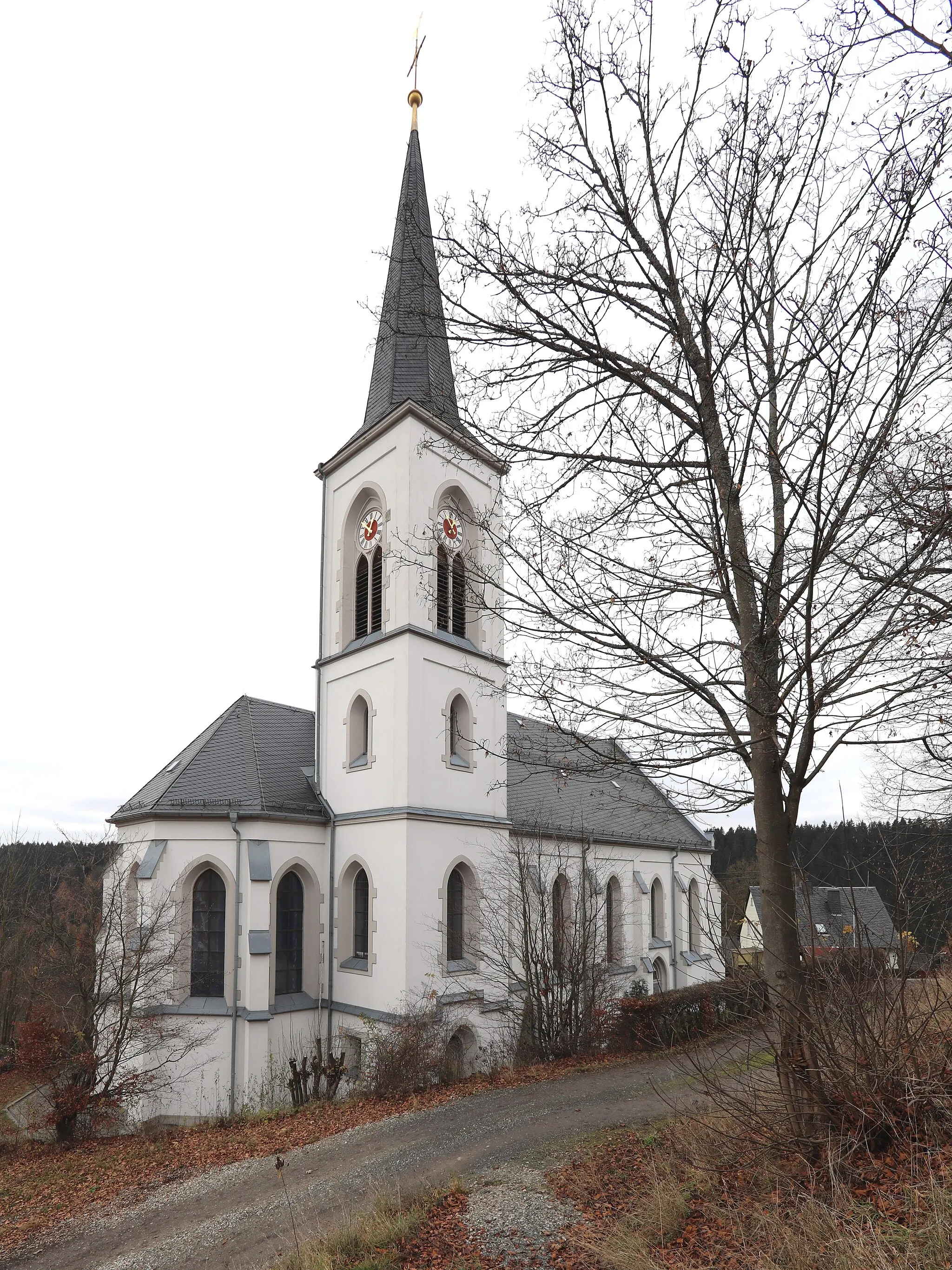
PresseckVillagePresseck is a delightful village with idyllic scenery and traditional Bavarian architecture.
44 km
44 km
WeißensteinturmViewpointWeißensteinturm is a historic tower that dates back to the 12th century, offering panoramic views of the Franconian Forest.
48 km
48 km
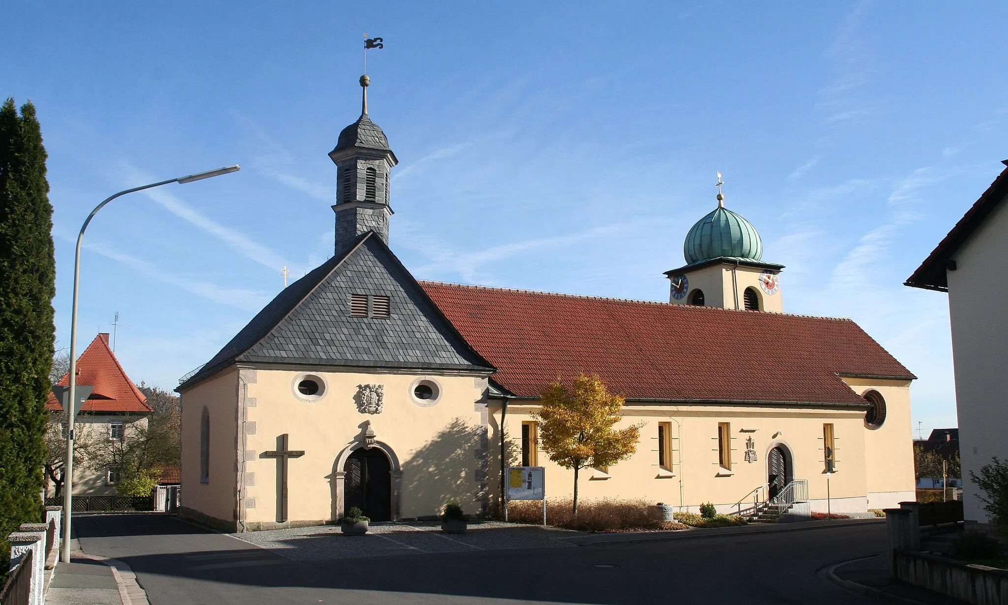
MarktschorgastVillageMarktschorgast is a small town known for its charming medieval architecture and scenic location.
64 km
64 km
StadtsteinachTownStadtsteinach is a picturesque town with colorful half-timbered houses and a charming town center.
75 km
75 km
Rötlesberg473 mPeakRötlesberg is a hill with beautiful views over the surrounding countryside, perfect for a scenic rest stop.
80 km
80 km
VogtendorfVillageVogtendorf is a tranquil village surrounded by meadows and forests, offering a peaceful cycling experience.
81 km
81 km
Finish: Ruppen Village centerKronach: Pedaling through the medieval charm of Kronach
Cycling routes nearby: