Rennsteig Loop
A road cycling route starting from Meeder
Experience the historic Rennsteig trail and the stunning landscapes of Thuringian Forest
Map
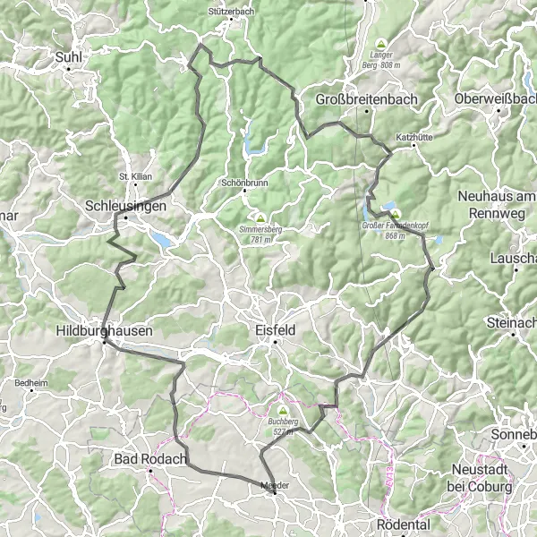
The Rennsteig Loop is a challenging road cycling route that takes you through the beautiful Thuringian Forest in Germany. With a total distance of 115 km and an ascent of 1875 m, this route is suitable for well-trained cyclists seeking an adventurous ride. Starting near Meeder, the route passes through highlights such as Kalter Melm, Veilsdorf, and Hildburghausen. The highlight of the route is Schmiedefeld am Rennsteig, a small village known for its stunning views and proximity to the iconic Rennsteig trail. Overall, this route combines challenging climbs and picturesque scenery, making it a favorite among experienced cyclists.
road
115 km
1875 m
Tough
Route profile
Highlights on the route
0 km
0 km
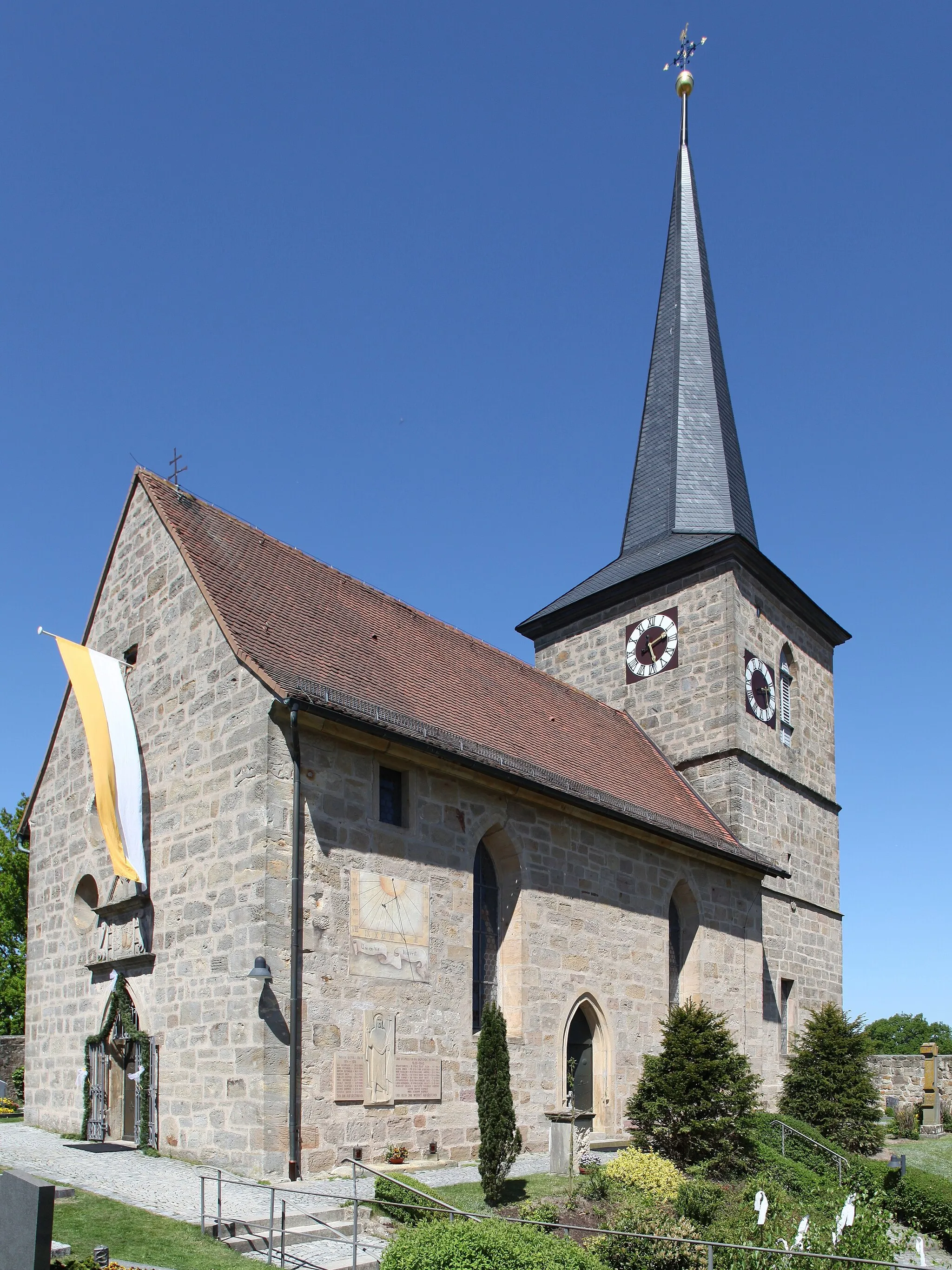
Start: Meeder Village centerMeeder: Picturesque rides through varied terrain in Meeder.
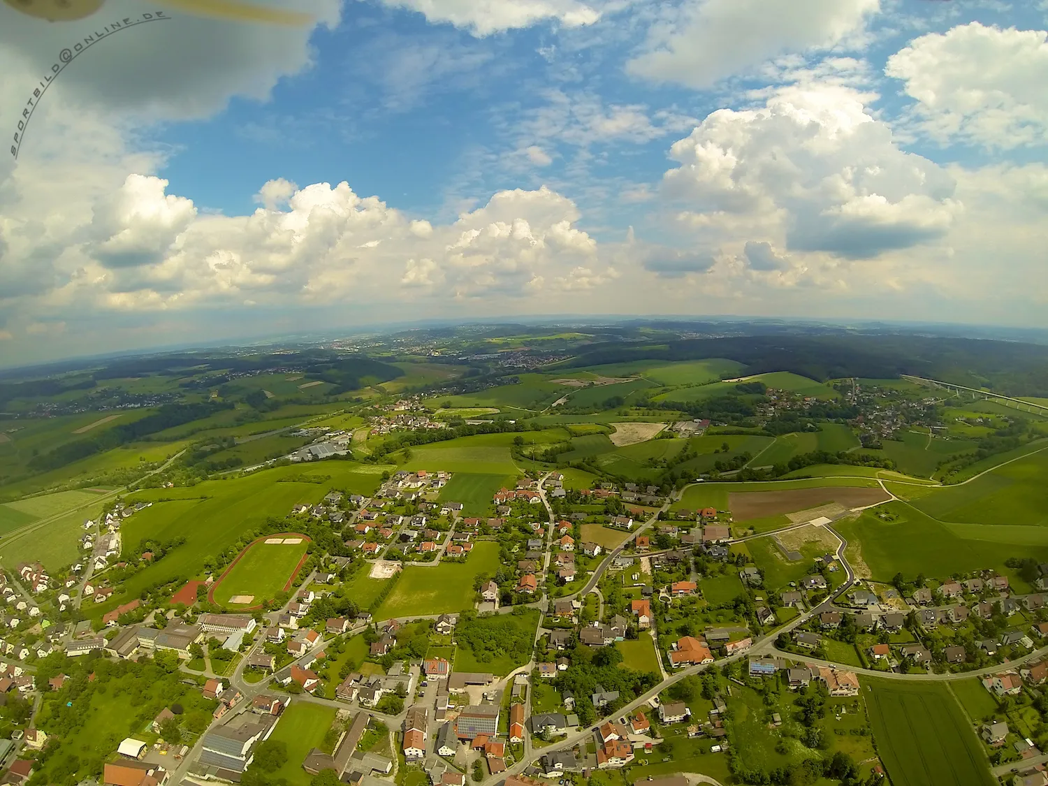
Meeder is a locality in Oberfranken, Germany. From a road cyclist's perspective, Meeder offers mixed terrain, with both gentle climbs and flat sections. The region is surrounded by beautiful landscapes and scenic routes, enhancing the overall cycling experience. While not famous for any specific cycling-related spots or well-known climbs, Meeder provides enjoyable rides away from heavy traffic. Overall, it is a decent location for road cycling with picturesque surroundings.8 km
8 km
Kalter Melm389 mPeakKalter Melm offers panoramic views of the surrounding mountains and valleys.
15 km
15 km
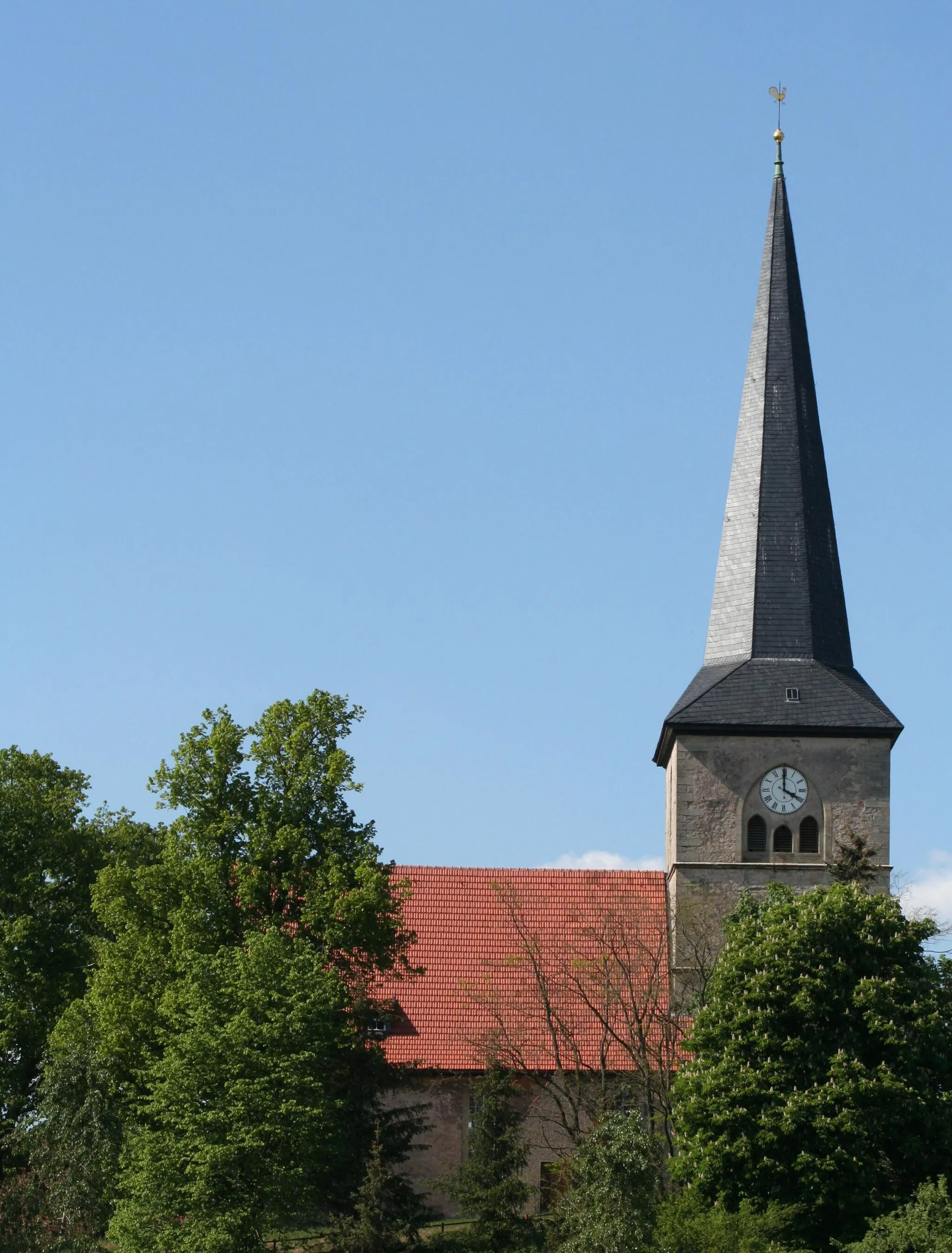
VeilsdorfVillageVeilsdorf is a charming town known for its historic buildings and cozy cafes.
22 km
22 km
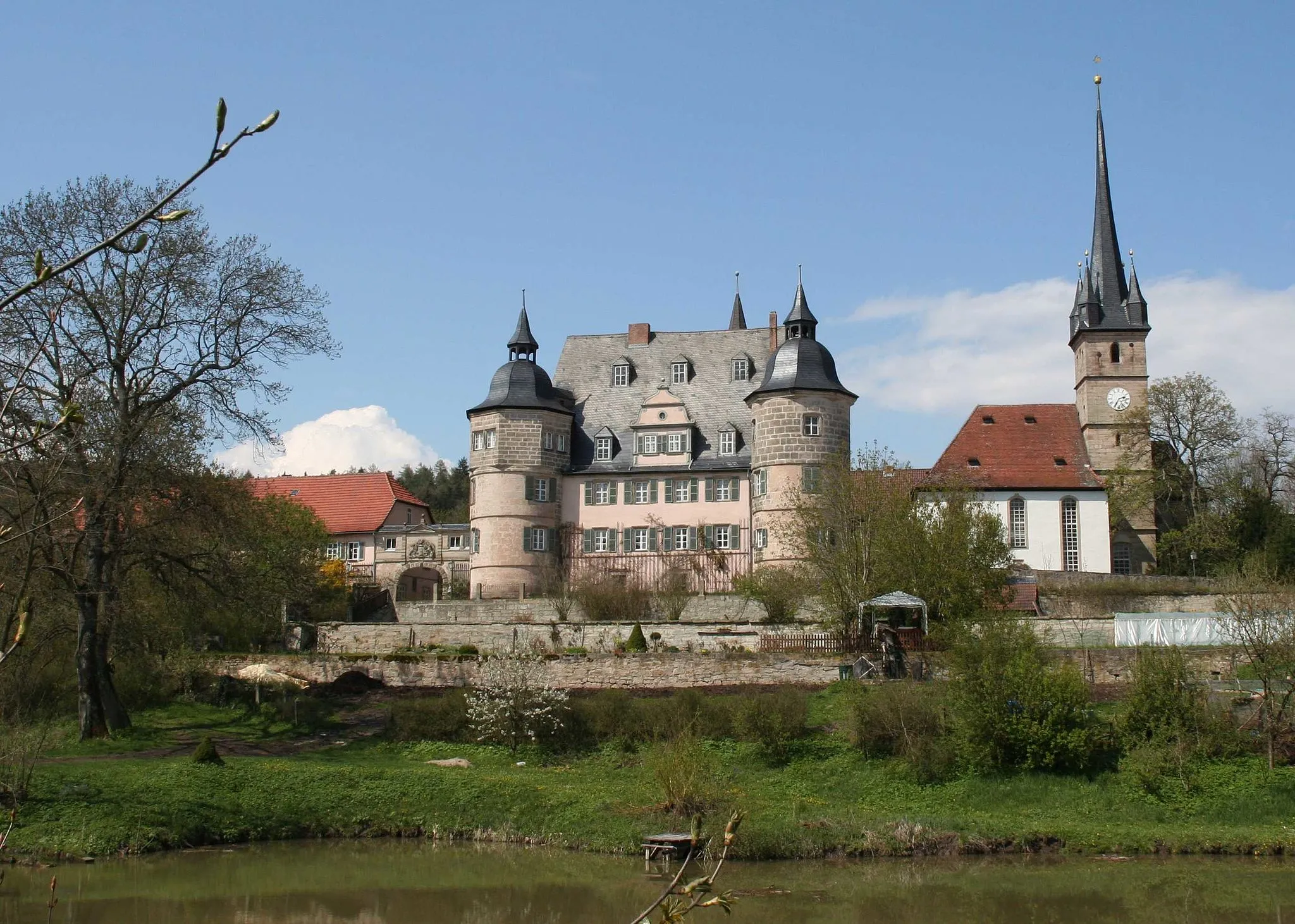
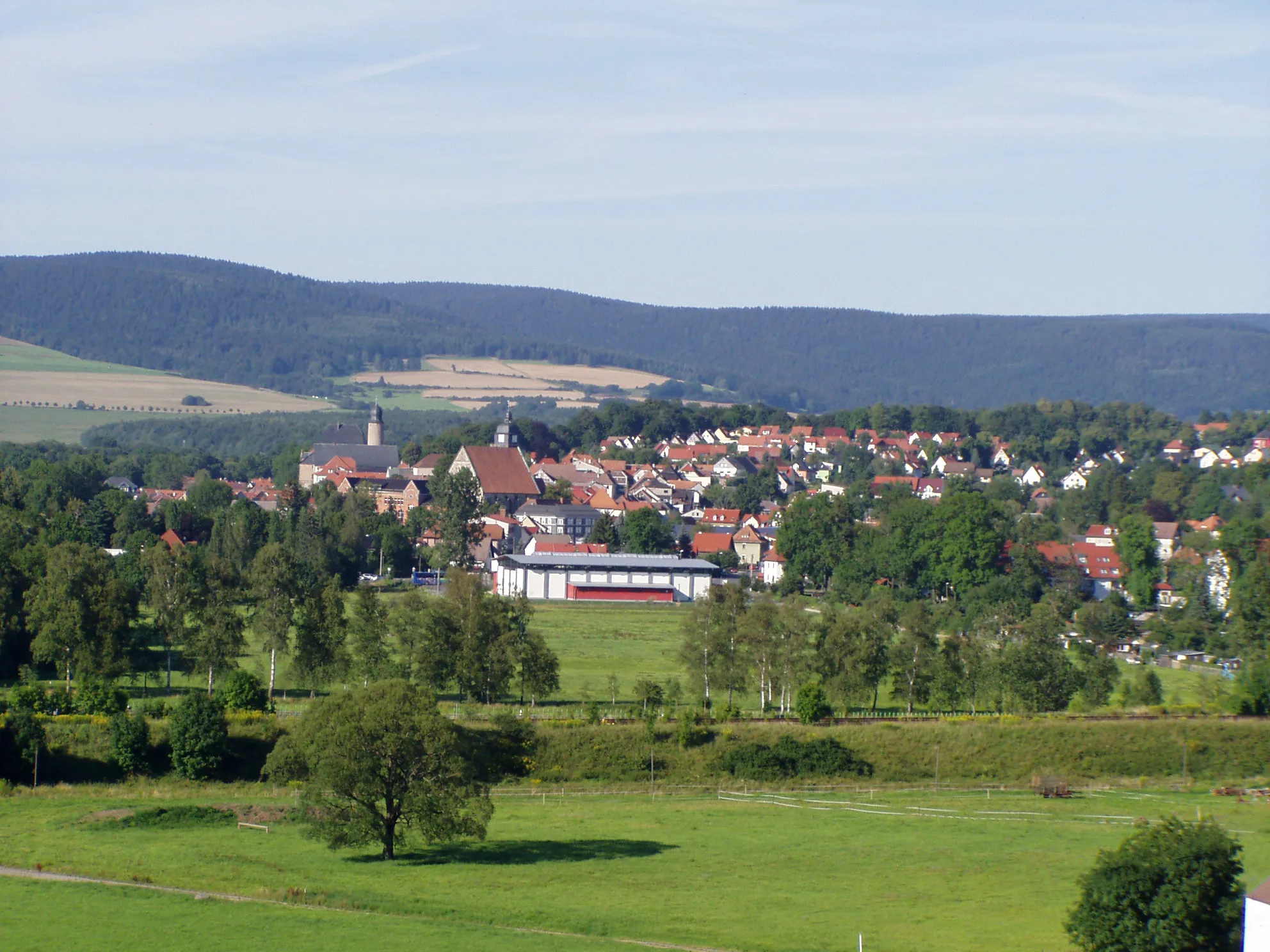
HildburghausenTownHildburghausen is home to a beautiful castle and serves as a gateway to the Thuringian Forest.
33 km
33 km
Brunnenberg411 mPeakBrunnenberg is a peaceful retreat with natural springs and stunning landscapes.
51 km
51 km
Schmiedefeld am RennsteigVillageSchmiedefeld am Rennsteig is a popular destination for hikers and cyclists, offering breathtaking views of the Rennsteig trail.
57 km
57 km
Großer Hundskopf824 mPeakExperience the thrill of conquering Großer Hundskopf, one of the highest peaks in the region.
79 km
79 km
GoldisthalVillageGoldisthal is home to a modern pumped storage power plant that harnesses the energy of water.
82 km
82 km
Pumpspeicherwerk GoldisthalViewpointPumpspeicherwerk Goldisthal is an impressive engineering feat and offers guided tours for visitors.
99 km
99 km
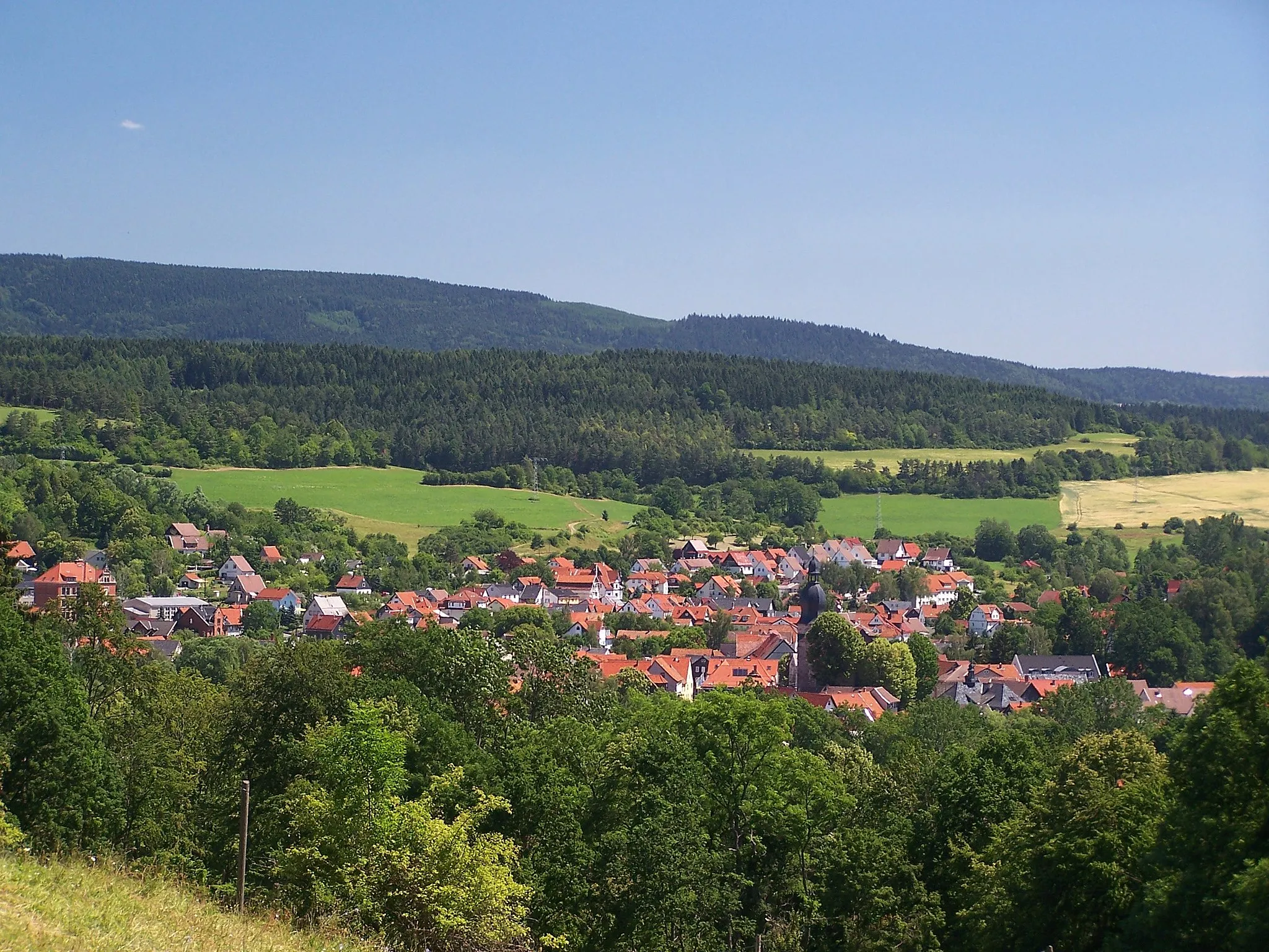
SchalkauVillageSchalkau is a picturesque town located on the edge of the Thuringian Forest, with charming streets and historic architecture.
103 km
103 km
Burken442 mPeakVisit Burken, a quaint village known for its traditional half-timbered houses and idyllic scenery.
111 km
111 km
MirsdorfVillageMirsdorf offers a tranquil environment and is a perfect spot for a rest and refreshments.
115 km
115 km
Finish: Meeder Village centerMeeder: Picturesque rides through varied terrain in Meeder.
Cycling routes from Meeder:
Gravel Adventure to Veste Heldburg Heldburg Castle Route Gravel Adventure through Coburg Land Gravel Cycling Adventure in Untersiemau The Billmuthausen Loop Callenberg Castle Gravel Adventure Road Cycling Route to Walleskuppe Road Cycling Route to Gräfenthal Gravel Adventure to Lauscha Rennsteig Loop Meeder Circular Road Cycling Route
Cycling routes nearby: