Road to Bad Staffelstein
A road cycling route starting from Memmelsdorf
Experience the scenic beauty of Ansberg and Bad Staffelstein
Map
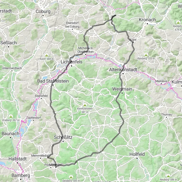
Explore the enchanting countryside near Memmelsdorf on this 114-km road cycling route. With an elevation gain of 1103 meters, this route will take you through beautiful villages and offer breathtaking views of the surrounding landscapes. Immerse yourself in the serenity of Ansberg and discover the idyllic charm of Bad Staffelstein, famous for its thermal baths and picturesque views.
road
114 km
1103 m
Tough
Route profile
Highlights on the route
0 km
0 km
Start: Meedensdorf Village centerMemmelsdorf: Explore beautiful Franconian Switzerland region with the Giechburg castle
Memmelsdorf is a charming locality situated in the Oberfranken region of Germany. From a road and gravel cyclist's perspective, Memmelsdorf offers a mix of gentle and challenging cycling routes. The town is surrounded by picturesque countryside, featuring rolling hills, vineyards, and historic landmarks. Cyclists can explore the beautiful Franconian Switzerland region, known for its stunning landscapes and natural beauty. One notable cycling spot near Memmelsdorf is Giechburg, a medieval castle that adds a touch of history and charm to the rides. Memmelsdorf is a great destination for cyclists looking to enjoy the scenic beauty of the region.7 km
7 km
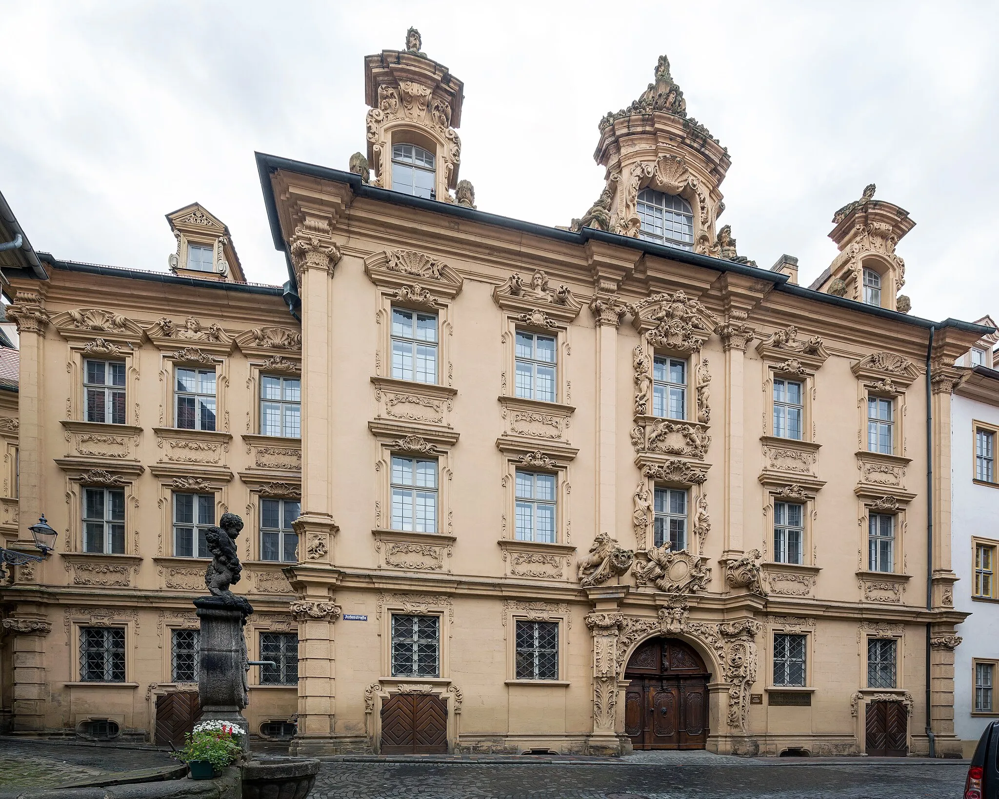
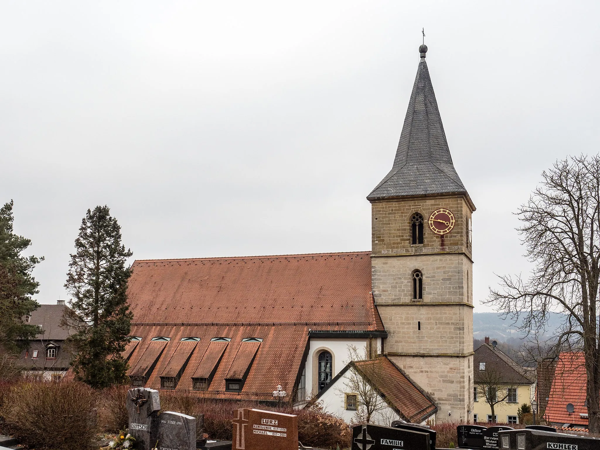
ScheßlitzTownDiscover the historical town of Scheßlitz, with its well-preserved medieval walls and charming old town center.
18 km
18 km
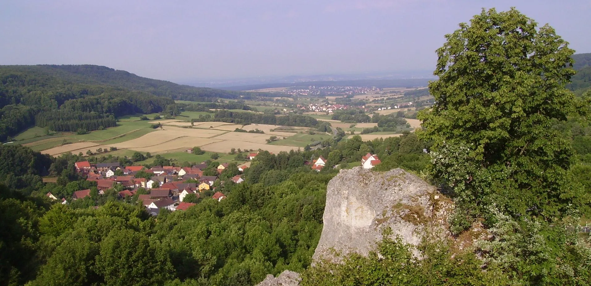
Ansberg460 mPeakAscend to the top of Ansberg and enjoy panoramic views of the Franconian countryside stretching as far as the eye can see.
23 km
23 km
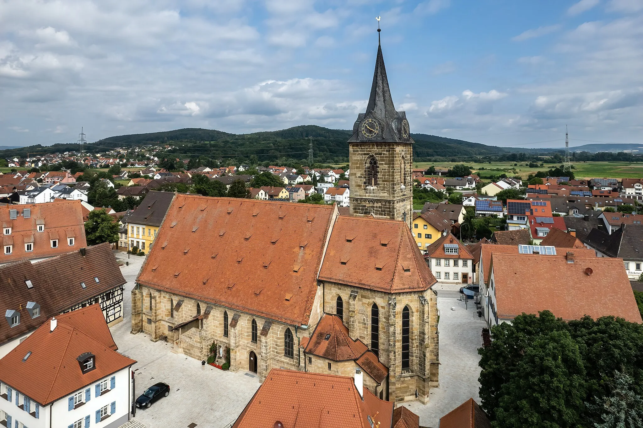
Bad StaffelsteinTownVisit Bad Staffelstein, renowned for its healing thermal baths and picturesque vistas of the Main river valley.
39 km
39 km
Hohe Aßlitz379 mPeakMarvel at the impressive views from Hohe Aßlitz, a high vantage point offering a sweeping panorama of the surrounding nature.
44 km
44 km
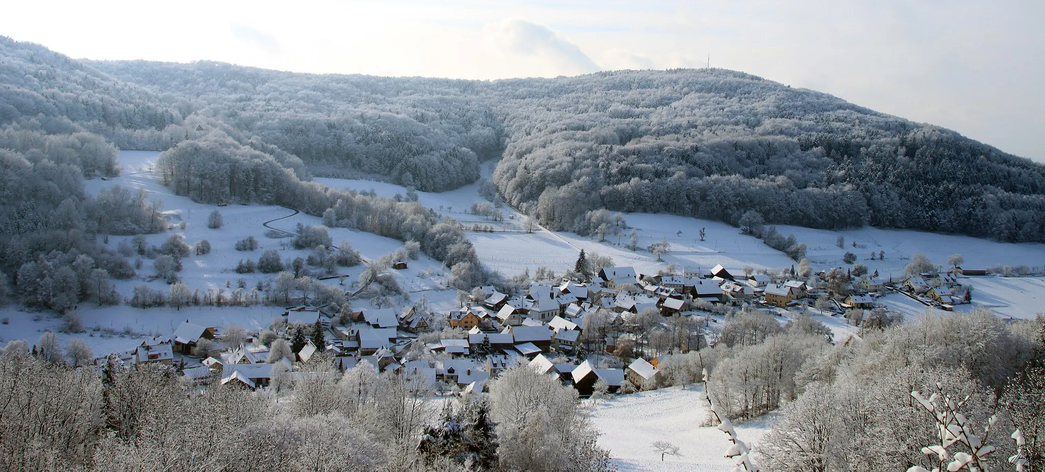
SonnefeldVillagePass through Sonnefeld, a charming village known for its 18th-century castle and beautiful half-timbered houses.
52 km
52 km
MitwitzVillageMitwitz is home to a beautiful Renaissance castle surrounded by lush greenery and a peaceful moat.
54 km
54 km
Horber Berg467 mPeakChallenge yourself with the ascent to Horber Berg, a hill known for its challenging gradient and stunning views from the top.
77 km
77 km
WeismainTownPass through Weismain, a historic town with well-preserved architecture dating back to the Middle Ages.
78 km
78 km
Kalkberg454 mPeak ViewpointDiscover Kalkberg, a limestone hill that offers panoramic views of the surrounding countryside.
96 km
96 km
KönigsfeldVillageCycle through the peaceful village of Königsfeld, famous for its idyllic rural atmosphere and charming architecture.
104 km
104 km
Ellernbachtal-BlickViewpointStop at Ellernbachtal-Blick and admire the scenic beauty of the Ellernbach valley, surrounded by lush forests and rolling hills.
110 km
110 km
LitzendorfVillageLitzendorf welcomes visitors with its traditional Bavarian charm and is a gateway to the stunning beauty of the region.
114 km
114 km
Finish: Meedensdorf Village centerMemmelsdorf: Explore beautiful Franconian Switzerland region with the Giechburg castle
Cycling routes from Memmelsdorf:
Memmelsdorf Gravel Adventure Gravel Adventure Gravel Adventure across Franconian Fields Hillside and Castle Road Loop Castle and countryside road tour Castles and Countryside Challenging Gravel Tour of Oberfranken Oberfranken Road Adventure Bamberg Loop Panoramic Forest and Castle Ride Road to Bad Staffelstein Gravel Retreat Gravel Adventure
Cycling routes nearby: