Ride through diverse landscapes and conquer famous climbs in Oberkotzau.
Cycling routes from Oberkotzau
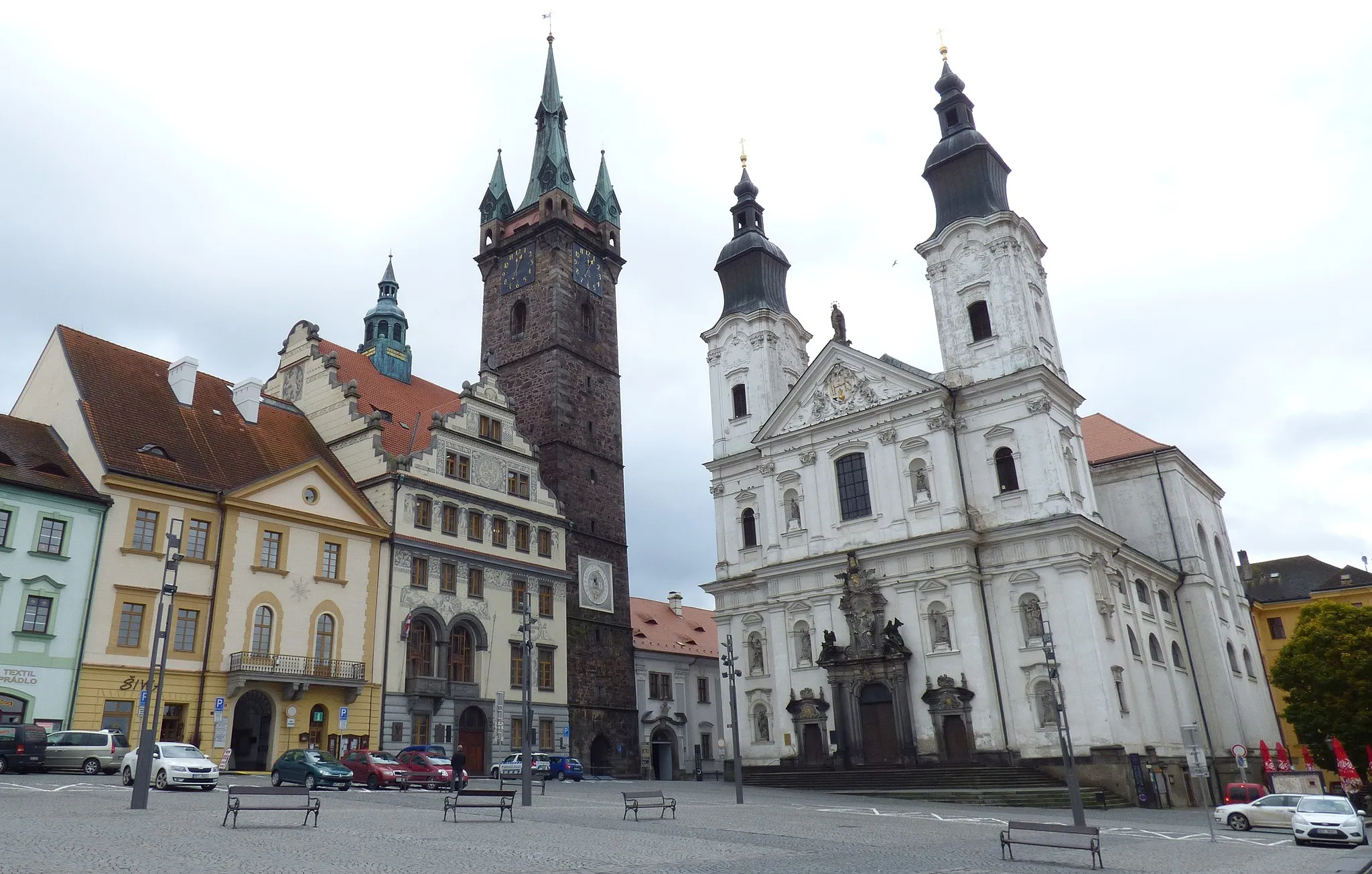
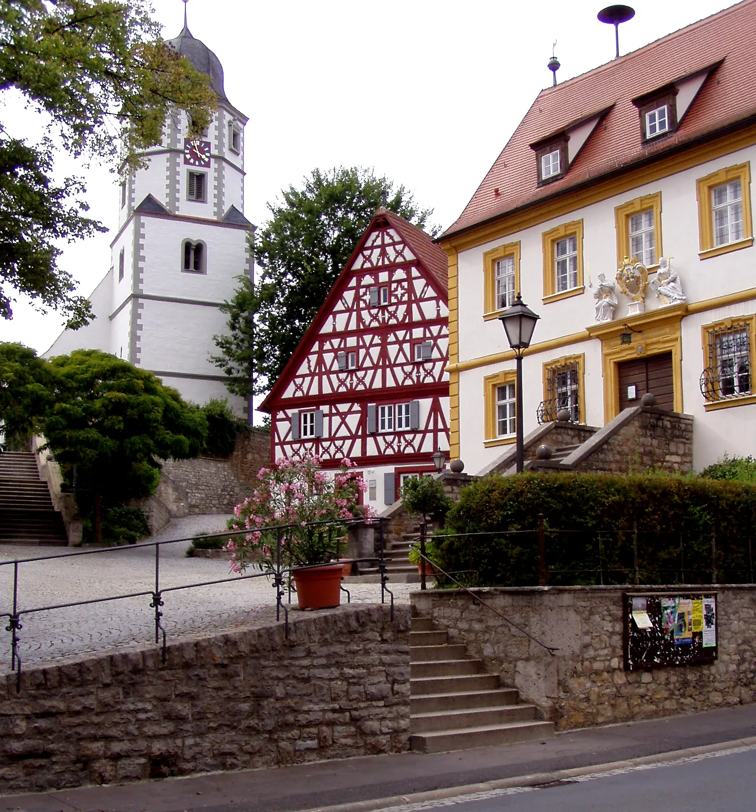
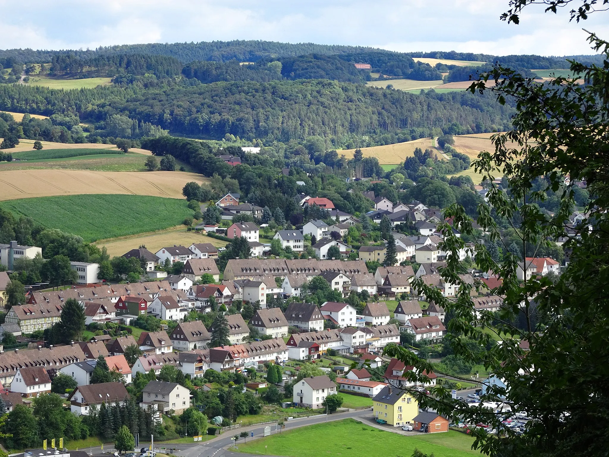
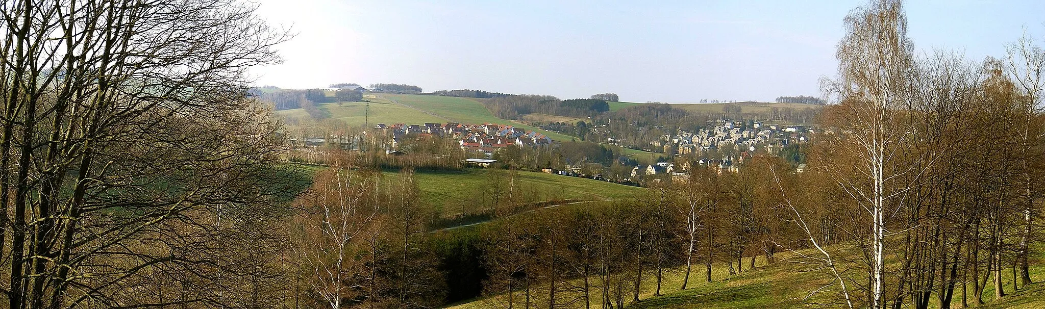
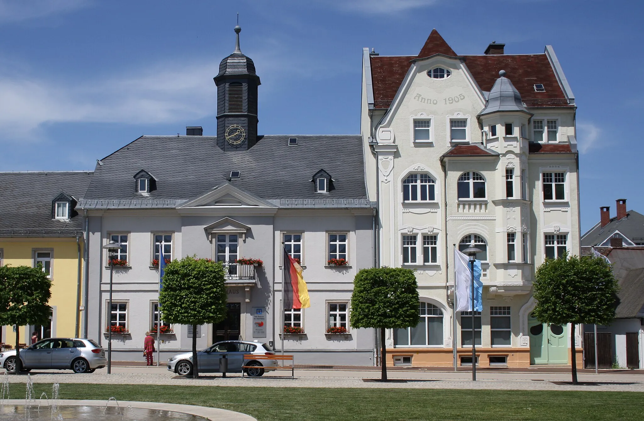
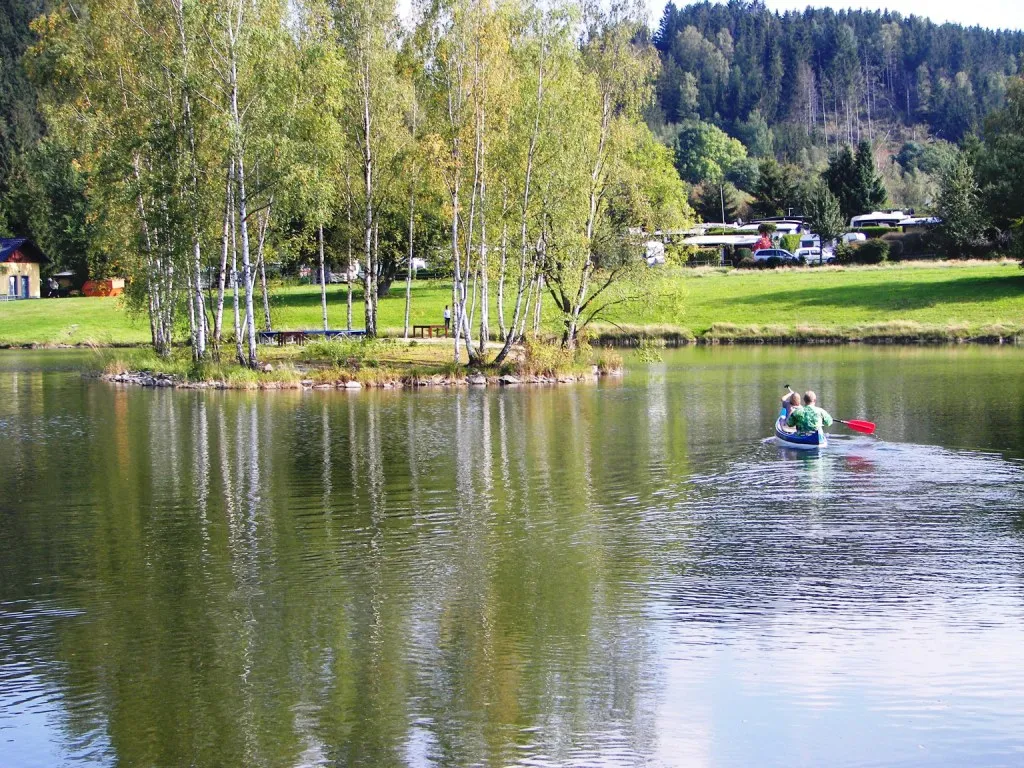
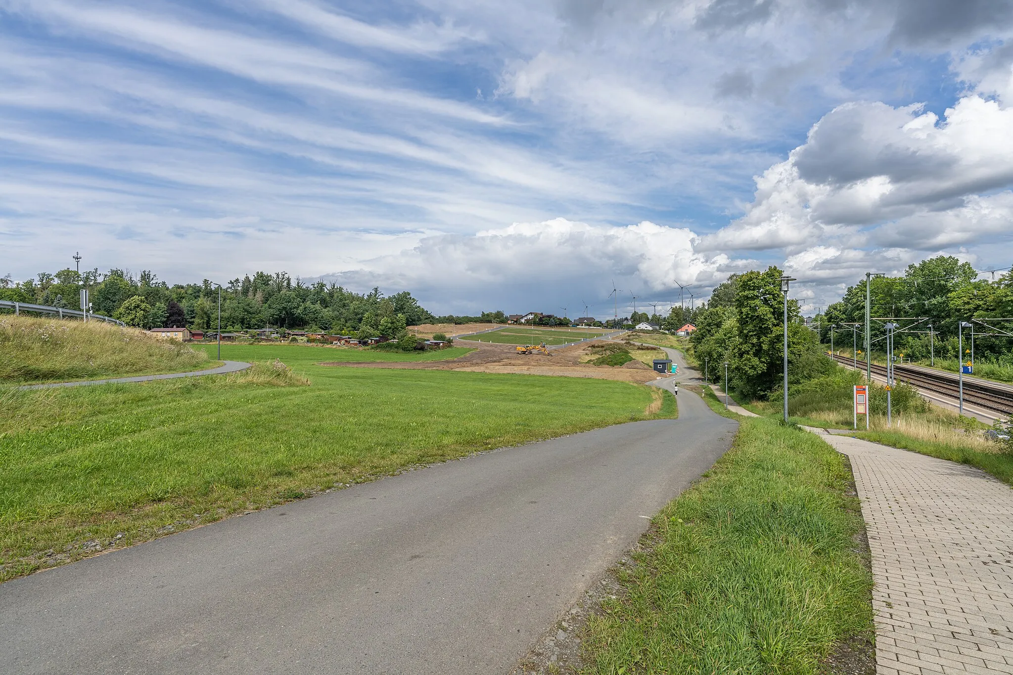
Oberkotzau, located in the Oberfranken region of Germany, is a cyclist-friendly locality with scenic routes for road and gravel cycling. The area offers a mix of rolling hills and flat paths, providing options for all types of cyclists. Oberkotzau is also close to the famous climbs of Schneeberg and Ochsenkopf, which attract both local and international cyclists. With its diverse terrain and proximity to popular climbs, Oberkotzau is a great base for cyclists exploring the Oberfranken region.
Embark on an exciting gravel adventure through scenic Oberfranken
Experience the thrill of gravel riding in the beautiful region of Oberfranken on this adventurous route. With a total ascent of 1,061 meters and a distance of 67 kilometers, this route offers a challenging and rewarding cycling experience. Traverse rugged terrain, explore hidden gems, and take in breathtaking views along the way.
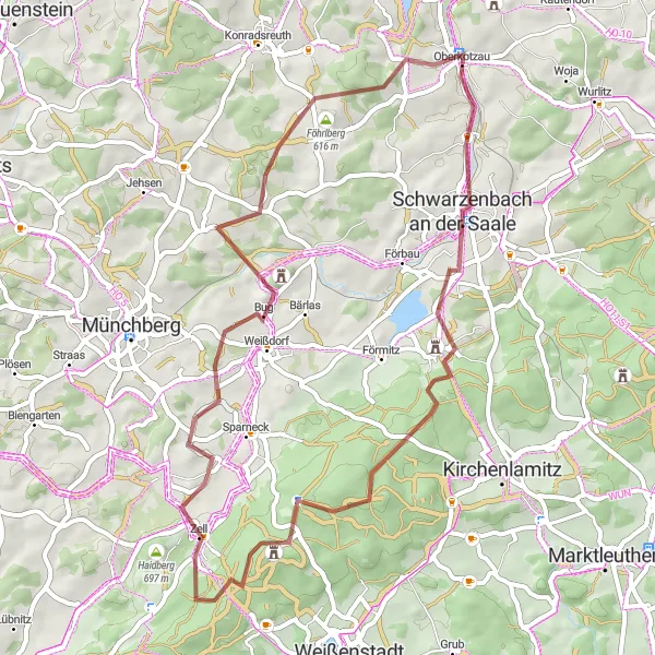
Experience the beauty and rolling hills of Oberfranken while cycling from Oberkotzau to Silberbach
This gravel cycling route takes riders through the picturesque landscapes of Oberfranken, covering a distance of 51 kilometers with an ascent of 839 meters. Cyclists will pedal through Schwarzenbach an der Saale, Schindelberg, Großer Waldstein, Rotes Schloß, Zell, Uprode, Silberbach, and end in Silberbach.
Experience the beauty of Oberfranken on this challenging gravel route
Explore the diverse landscapes of Oberfranken on this challenging gravel route. With a total ascent of 1,062 meters and a distance of 68 kilometers, this route will test your endurance and reward you with stunning views along the way.
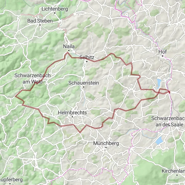
Embark on an extensive road adventure through Oberfranken's captivating landscapes
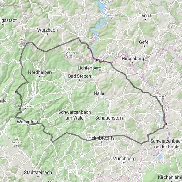
Discover the enchanting landscapes of Oberfranken on this extensive road route. Covering a total ascent of 1,964 meters and a distance of 120 kilometers, this route is perfect for cyclists seeking a longer and more challenging adventure. Marvel at the region's diverse scenery and immerse yourself in its rich history and cultural heritage.
Embark on a gravel adventure through scenic landscapes from Oberkotzau to Wölbattendorf
This gravel cycling route starts near Oberkotzau and takes adventurers through scenic landscapes to Wölbattendorf. The route spans 59 kilometers with an ascent of 744 meters. Cyclists will pass through Mödlareuth (Bayern), Mühlberg, Ullitz, and end in Wölbattendorf.
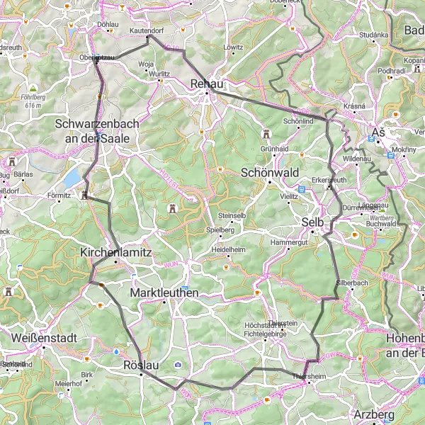
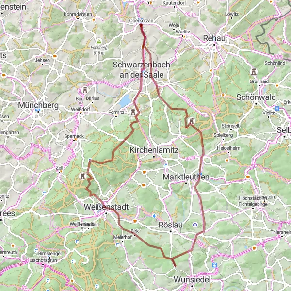
A scenic road cycling loop with a challenging ascent to Zwölfgipfelblick
This road cycling route starting near Oberkotzau offers beautiful scenery and a challenging climb to Zwölfgipfelblick. The route covers a distance of 77 kilometers with an ascent of 1046 meters. Cyclists will pass through Rehau, Štítarský vrch, Thiersheim, Kirchenlamitz, and Schwarzenbach an der Saale.
The Hof Loop
Indulge in the scenic beauty of Franconian Switzerland
Embark on a thrilling cycling adventure through the heart of Franconian Switzerland, starting near Oberkotzau. This 53-kilometer round-trip route promises breathtaking views, challenging ascents, and the opportunity to explore charming towns and idyllic landscapes along the way. As you pedal through the picturesque countryside, soak in the tranquility and immerse yourself in the rich cultural heritage of the region. The route offers a delightful mix of natural beauty, historical landmarks, and enchanting villages that will captivate both cycling enthusiasts and nature lovers alike.

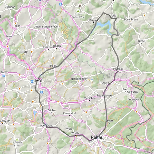
Take a leisurely road tour through the scenic landscapes of Oberfranken
Enjoy a leisurely road tour through the picturesque landscapes of Oberfranken. With a total ascent of 420 meters and a distance of 28 kilometers, this route is perfect for a relaxing day of cycling. Immerse yourself in the beauty of the region as you pass through charming towns and enjoy breathtaking views.
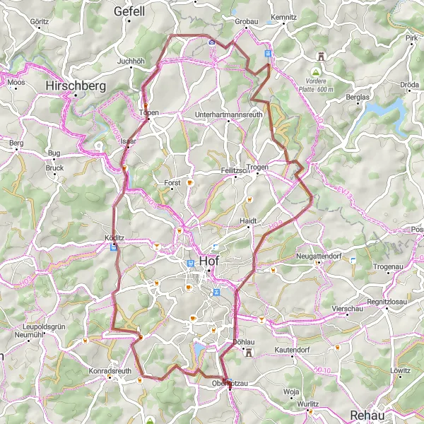
Discover the beauty of Oberfranken on this scenic road route
Experience the allure of Oberfranken on this picturesque road route. With a total ascent of 600 meters and a distance of 47 kilometers, this route is perfect for cyclists of all levels. Enjoy the region's stunning landscapes and charming towns along the way.
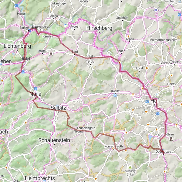
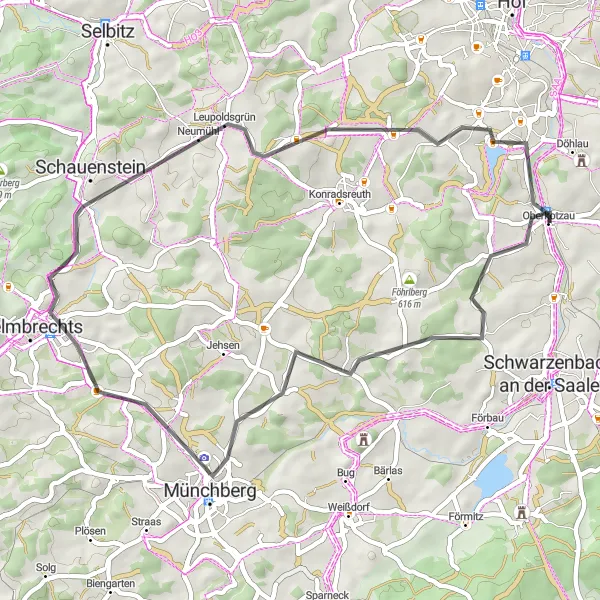
Embark on a challenging gravel ride from Oberkotzau to Naila
This challenging gravel cycling route starts near Oberkotzau and takes cyclists on a thrilling adventure to Naila. The route covers a distance of 73 kilometers with an ascent of 1240 meters. Cyclists will pass through Föhrlberg, Weißlenreuth, Prinz-Luitpold-Turm, and finally reach Naila.
Cycling routes nearby:


Nearby regions: