Serene Gravel Cycling Haven
Cycling routes from Dohlau
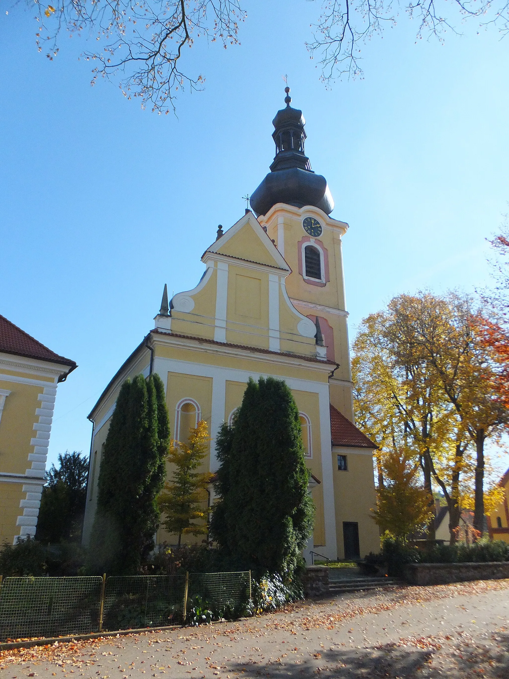
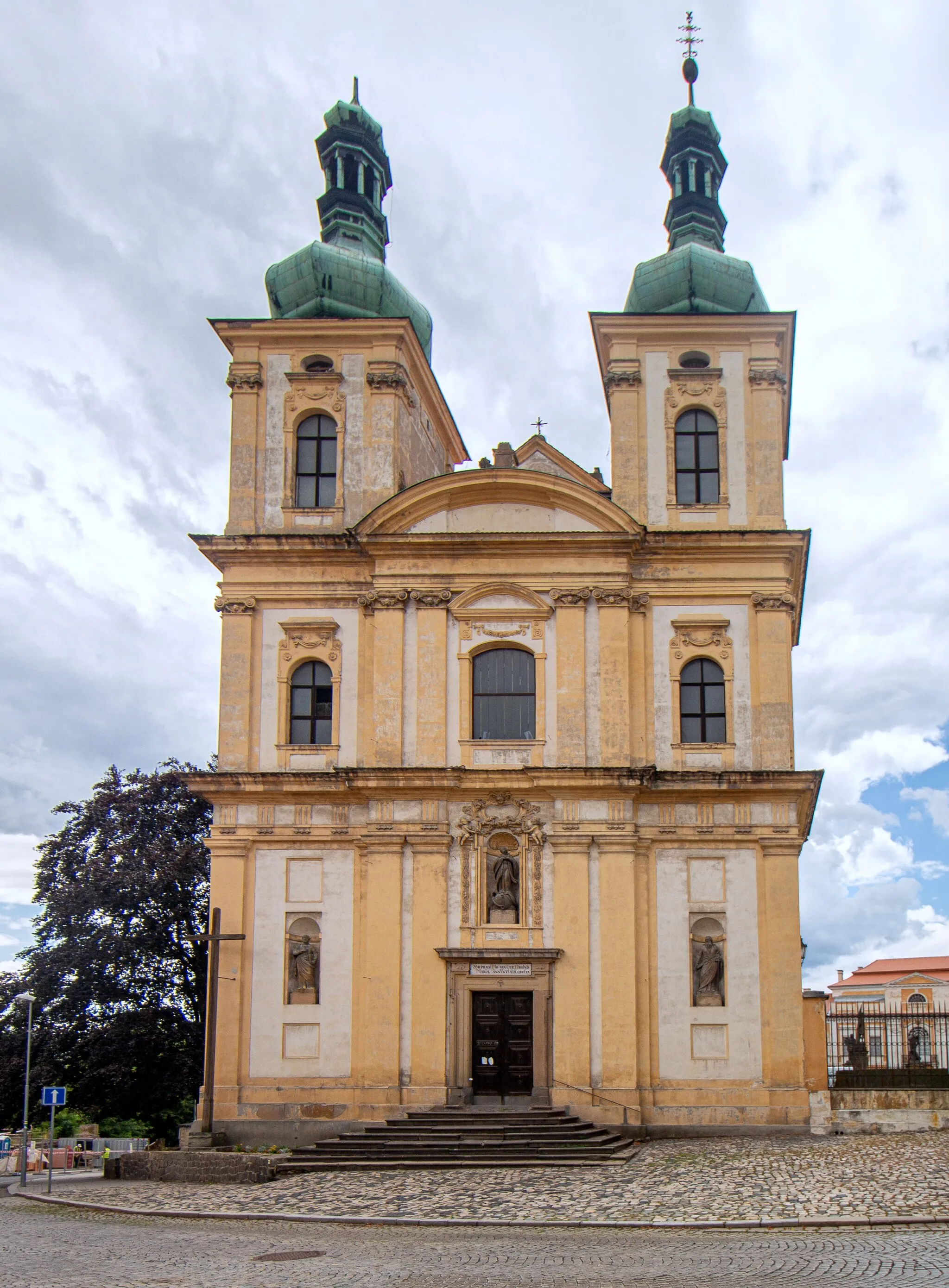
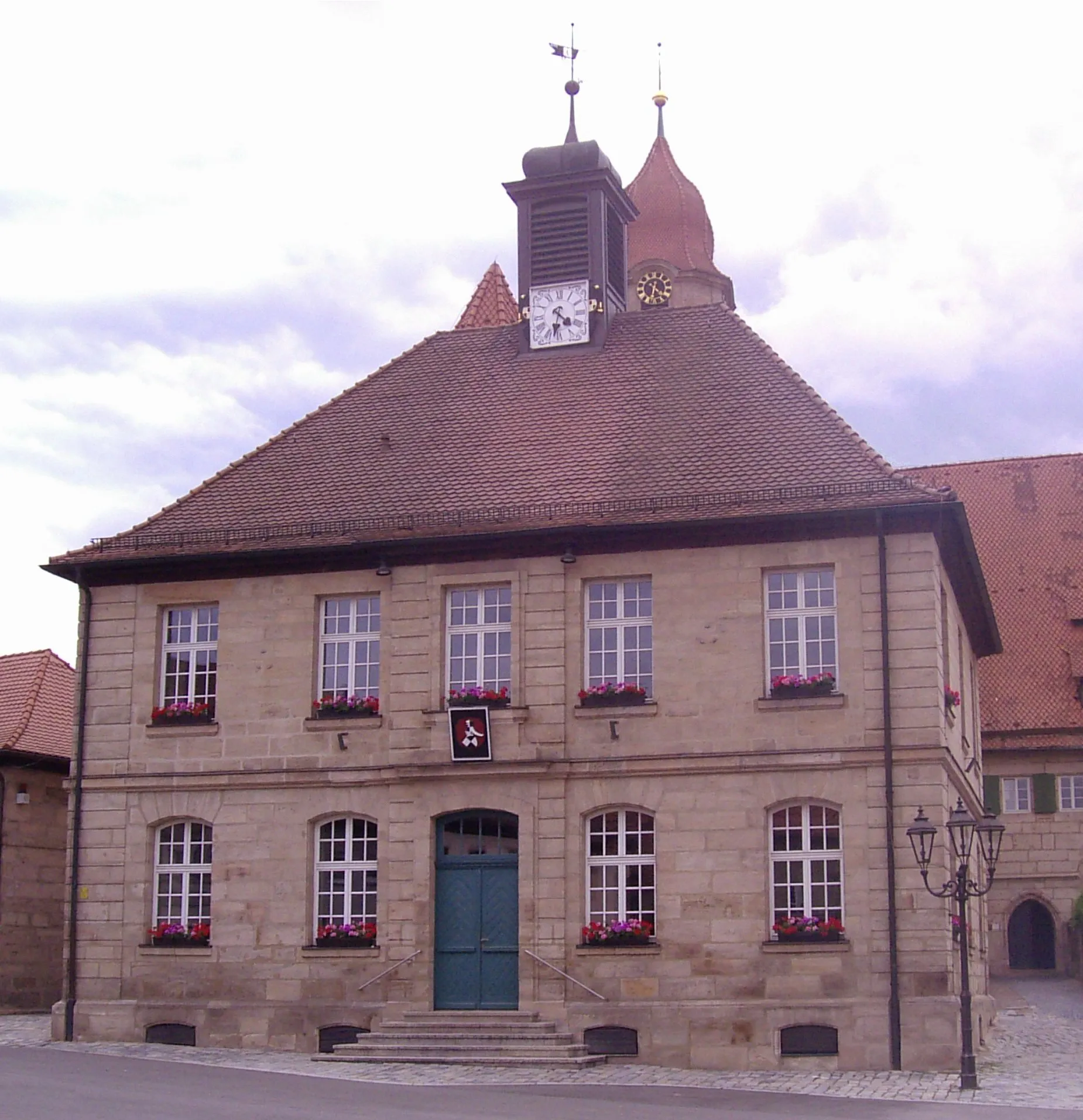
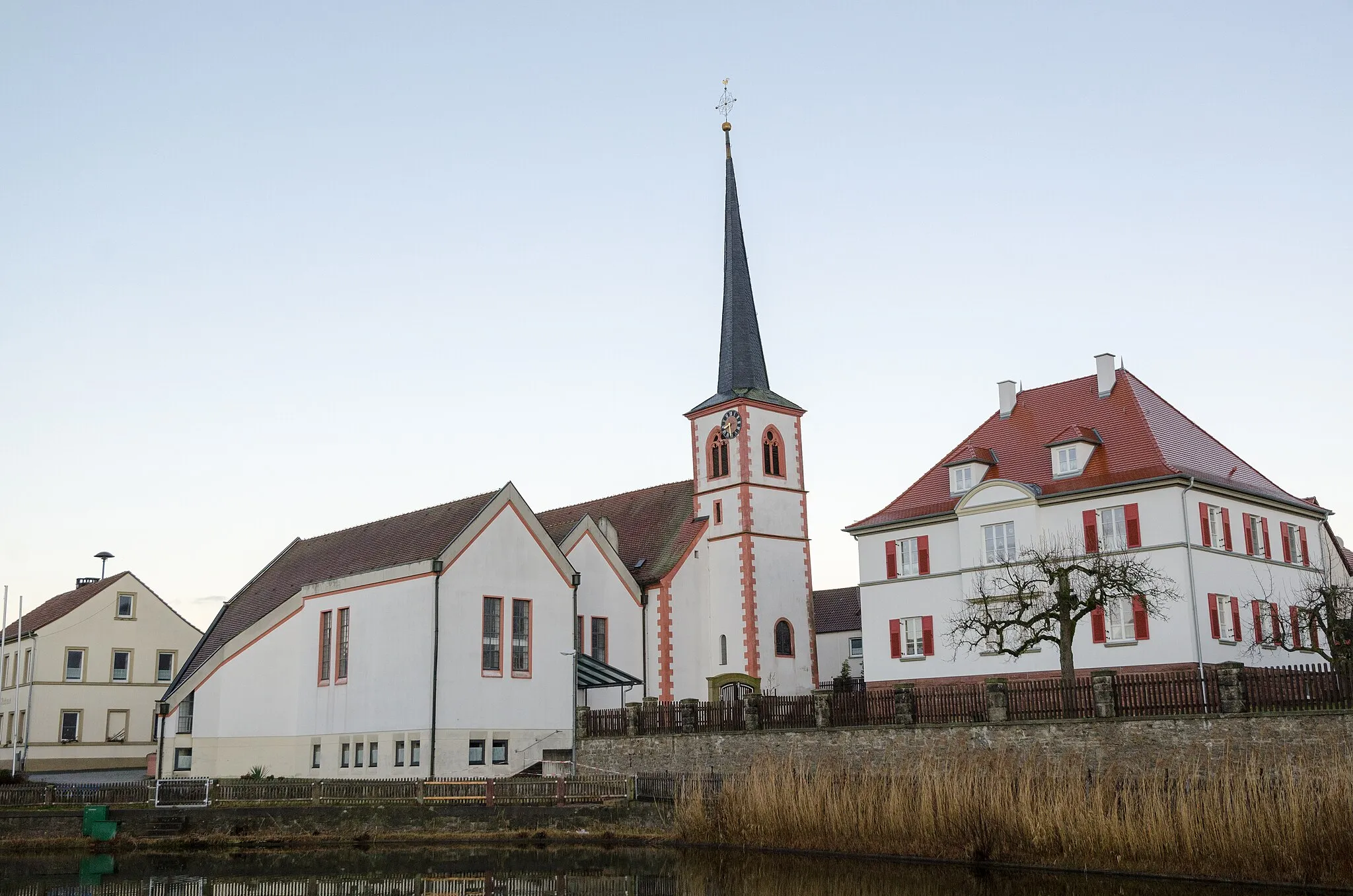
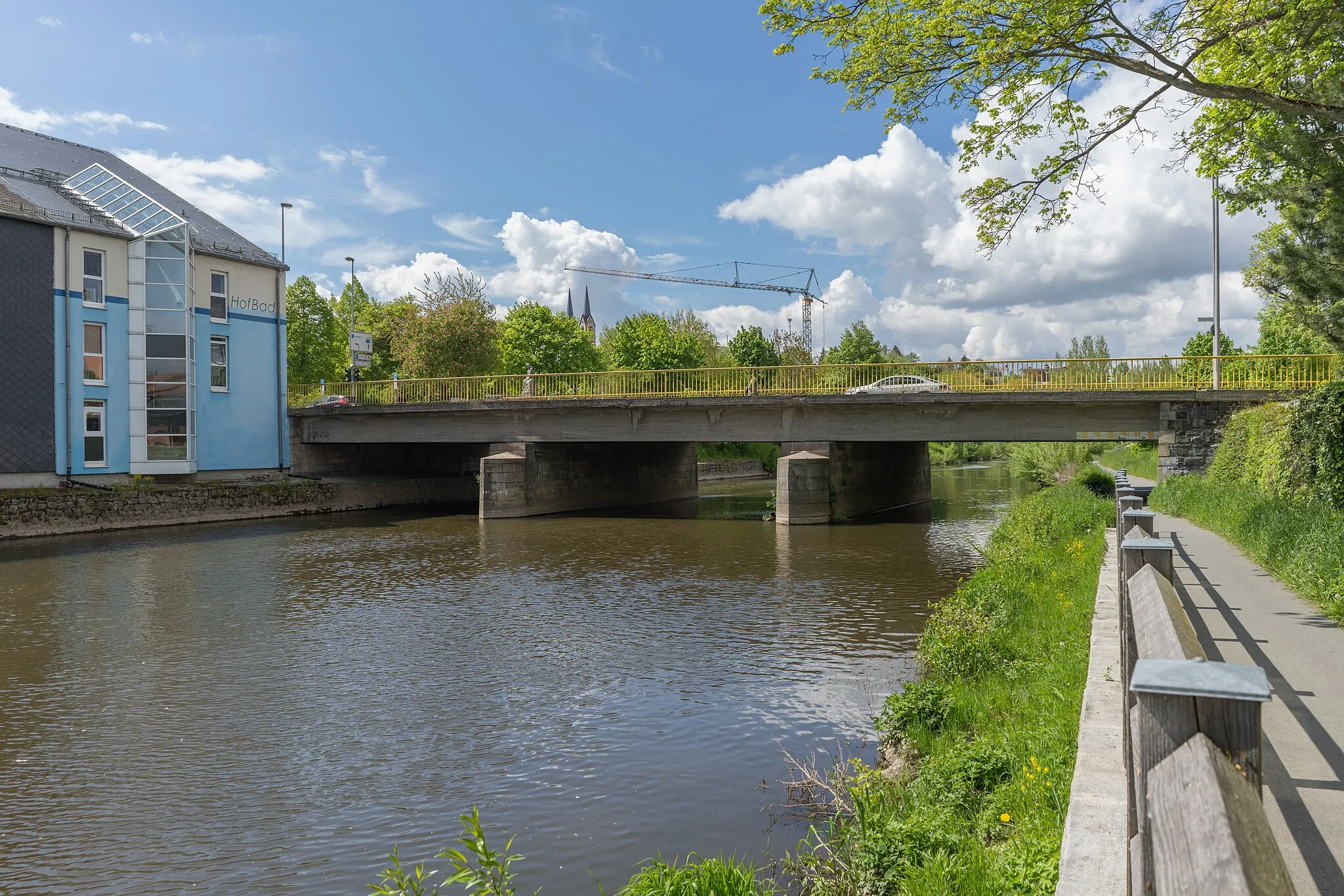
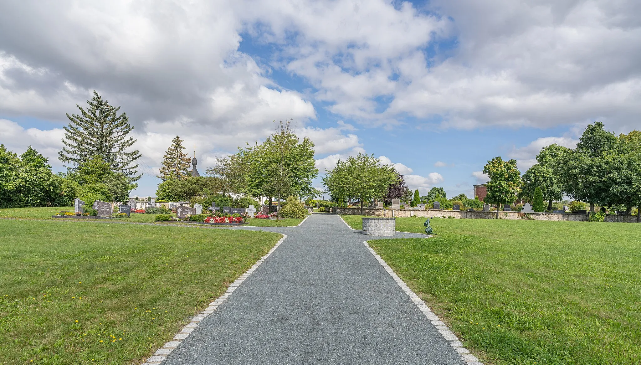
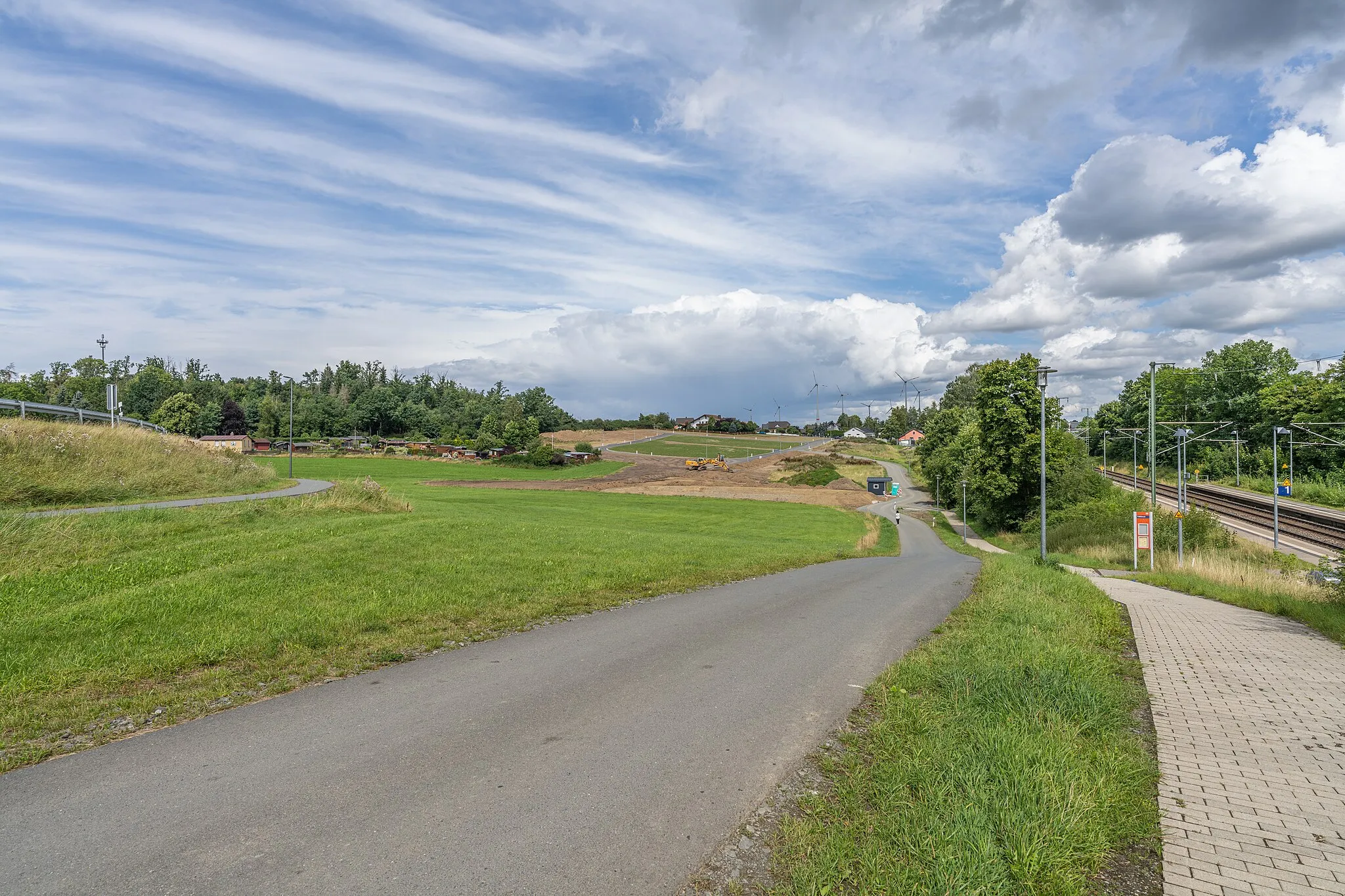
Döhlau is a charming locality located in Oberfranken, Germany. For gravel cyclists, Döhlau provides access to a variety of off-road trails and scenic forest routes. The surrounding region offers a diverse terrain, ranging from challenging uphill climbs to smooth downhill descents. One of the well-known cycling spots in the area is the renowned Fichtelgebirge, which is home to numerous gravel trails and mountain paths. Döhlau itself is a quiet and peaceful village, filled with historical landmarks and picturesque landscapes, making it an ideal destination for gravel cycling enthusiasts seeking a combination of nature and cultural exploration.
Embark on a scenic road cycling adventure near Döhlau showcasing diverse attractions
Venture along the roads near Döhlau as you navigate through a captivating landscape. This road cycling route covers a distance of 56 kilometers and features an ascent of 718 meters. Explore the charming towns dotted along the way and appreciate the natural beauty of the region.
The Ultimate Challenge

Embark on a legendary road cycling route near Döhlau, tackling grueling ascents
Prepare yourself for an extraordinary road cycling adventure near Döhlau, tackling challenging ascents and enduring a total distance of 80 kilometers. With an ascent of 1112 meters, this route ranks among the toughest in the region. Spectacular highlights along the way will reward your efforts and leave a lasting impression,
The Road Adventure
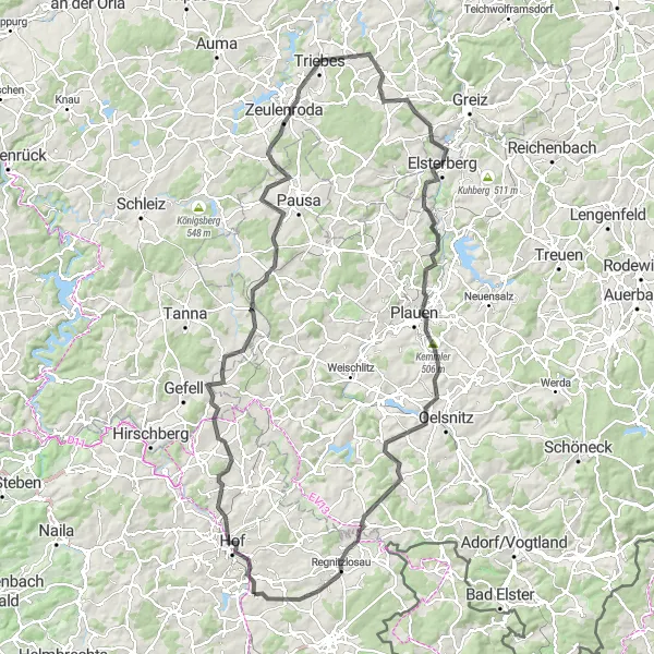
Embark on a scenic road cycling adventure starting near Döhlau
Take a journey through picturesque landscapes with this 132 km road cycling route. With an ascent of 1763 m, this route offers a challenging ride for road enthusiasts. From Hof to Regnitzlosau, you'll discover stunning highlights, including Gebersreuth, Rosenberg, Sandberg, Zeulenroda, Pfarrberg, Elsterberg, Loreley, Plauen, Bösenbrunn, and Regnitzlosau.

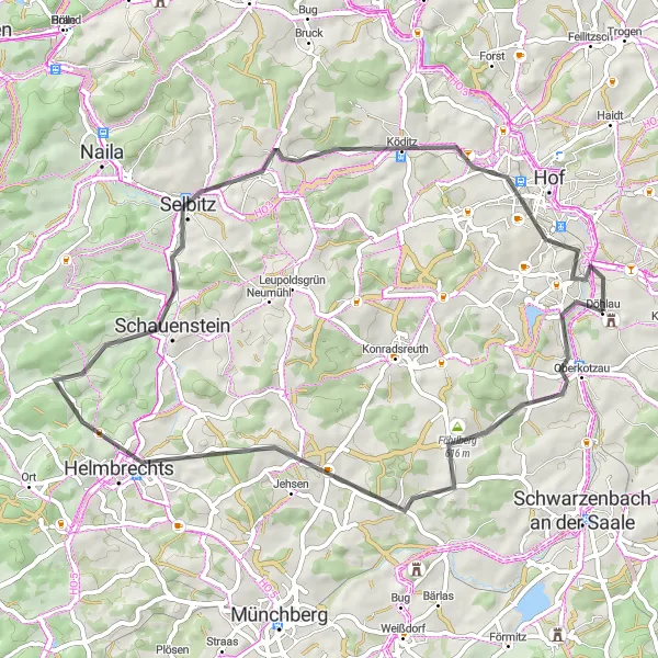
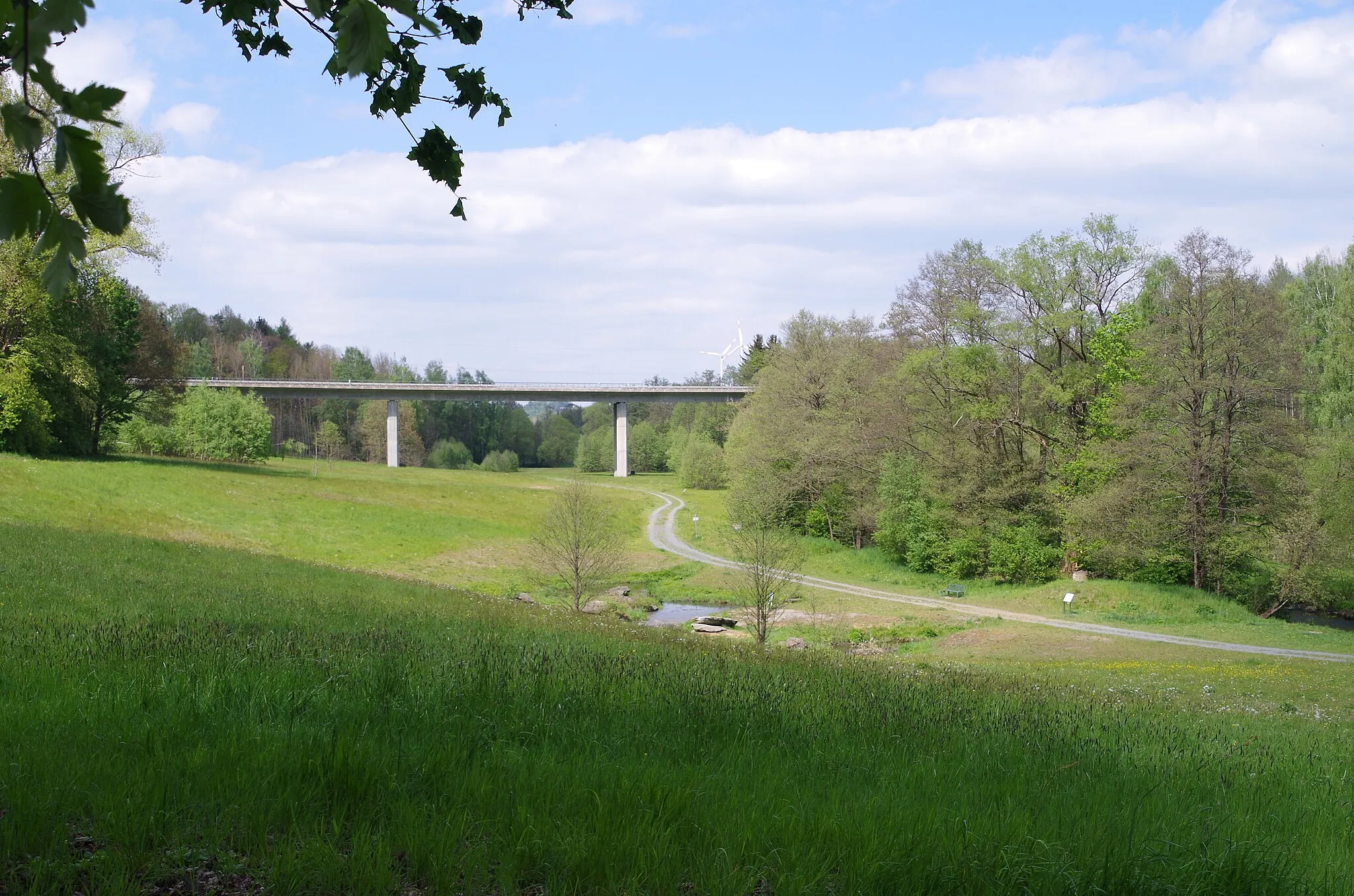
Embark on an epic gravel cycling challenge from Döhlau
Get ready for the ultimate gravel challenge with this thrilling 99 km route. With an ascent of 1636 m, this challenging ride takes you through various terrains and showcases the beauty of the region. Highlights along the route include Hoher Stein, Leupoldsgrün, Naila, Schneidberg, Nordhalben, Kamm, Marienberg, Berg, Hof.
The Gravel Adventure
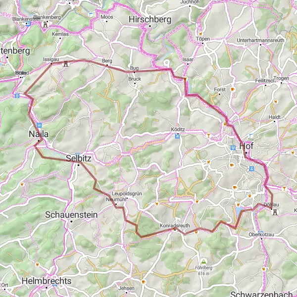
Embark on an exciting gravel adventure starting near Döhlau
Experience the thrill of adventure with this gravel cycling route. Covering a distance of 58 km and featuring an ascent of 783 m, this route takes you through some picturesque landscapes and offers a challenging ride for gravel enthusiasts. Get ready to explore hidden gems like Konradsreuth, Schöne Aussicht, Naila, Berg, Jean-Paul-Felsen, and Hof.
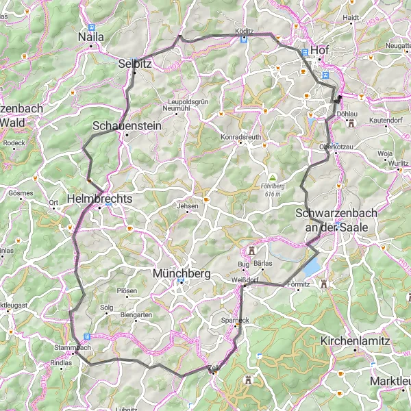
Conquer challenging terrains on an epic road cycling route near Döhlau
Embark on a thrilling road cycling adventure near Döhlau, conquering challenging terrains over a total distance of 79 kilometers while ascending 978 meters. This route is ideal for well-trained amateurs seeking both a physical and mental challenge. The remarkable highlights along the way will leave you in awe of the picturesque landscapes and rich history of the region.
Döhlau Gravel Adventure
Embark on a thrilling gravel adventure exploring the outskirts of Döhlau
This scenic round-trip cycling route starting near Döhlau takes you on a gravel adventure through the beautiful countryside. With picturesque landscapes and charming village views, this route is perfect for nature lovers and those looking for an off-road cycling experience. The overall route covers a distance of 38 kilometers with a total ascent of 418 meters.
The Gravel Delight
Explore the gravel roads with stunning landscapes near Döhlau
Embark on a thrilling gravel adventure near Döhlau, as you traverse a challenging route encompassing a total ascent of 855 meters over a distance of 55 kilometers. This route will impress you with its picturesque scenery and unique highlights along the way. The mix of gravel terrain and beautiful landscapes make it a distinctive and exciting choice for cycling enthusiasts.
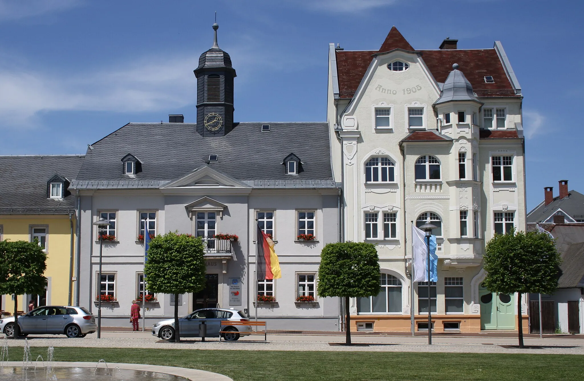
Embark on a scenic road cycling adventure around Rehau
The Rehau Road Loop is a 58-kilometer route that takes you through the picturesque countryside around Rehau. With an ascent of 761 meters, this road route offers a moderate challenge for cyclists of all levels. Along the way, you'll encounter beautiful landscapes, charming villages, and peaceful roads. Highlights of the route include Rehau, a historic town with a rich architectural heritage, and Oberkotzau, a scenic village with stunning views. Whether you're a beginner or an experienced cyclist, this route is sure to delight.
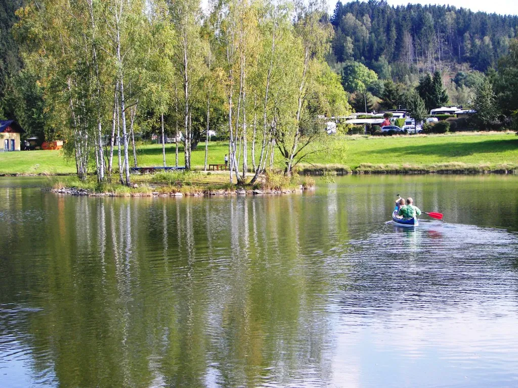
Schwarzenhammer Gravel Loop

Explore the picturesque gravel roads around Döhlau and Schwarzenhammer
The Schwarzenhammer Gravel Loop is a 66-kilometer route that takes you through the beautiful countryside near Döhlau and Schwarzenhammer. With an ascent of 902 meters, this gravel route offers a challenging ride for experienced cyclists. The diverse landscape along the route includes rolling hills, forests, and charming villages. Highlights along the route include Mlýnský vrch, a hill with panoramic views, and Schwarzenbach an der Saale, a scenic town along the Saale River.
Cycling routes nearby:


Nearby regions: