The Road Challenge
A road cycling route starting from Dohlau
Conquer challenging terrains on an epic road cycling route near Döhlau
Map
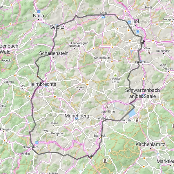
Embark on a thrilling road cycling adventure near Döhlau, conquering challenging terrains over a total distance of 79 kilometers while ascending 978 meters. This route is ideal for well-trained amateurs seeking both a physical and mental challenge. The remarkable highlights along the way will leave you in awe of the picturesque landscapes and rich history of the region.
road
79 km
978 m
Savage
Route profile
Highlights on the route
0 km
0 km
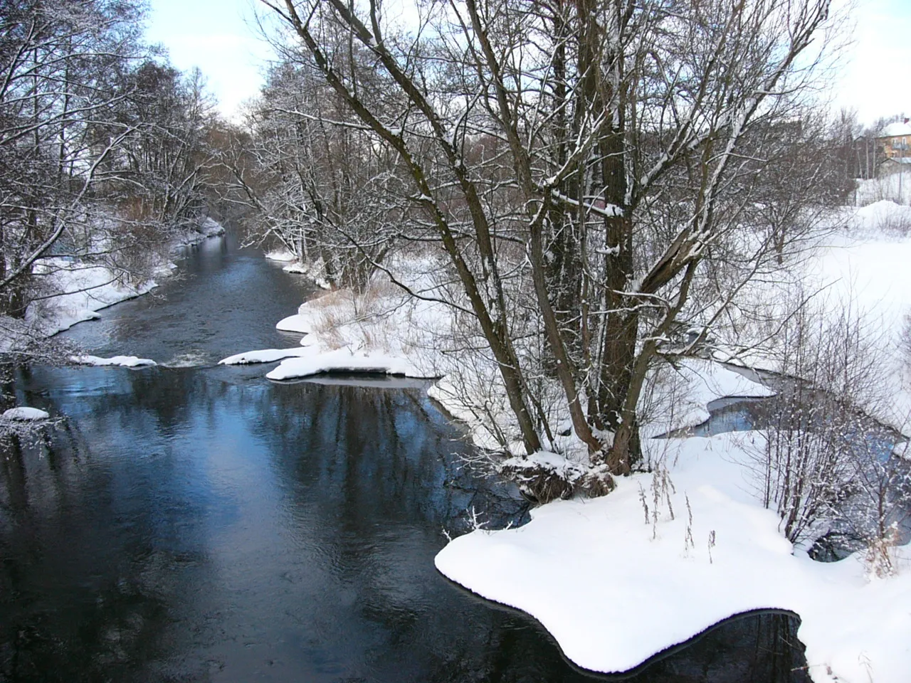
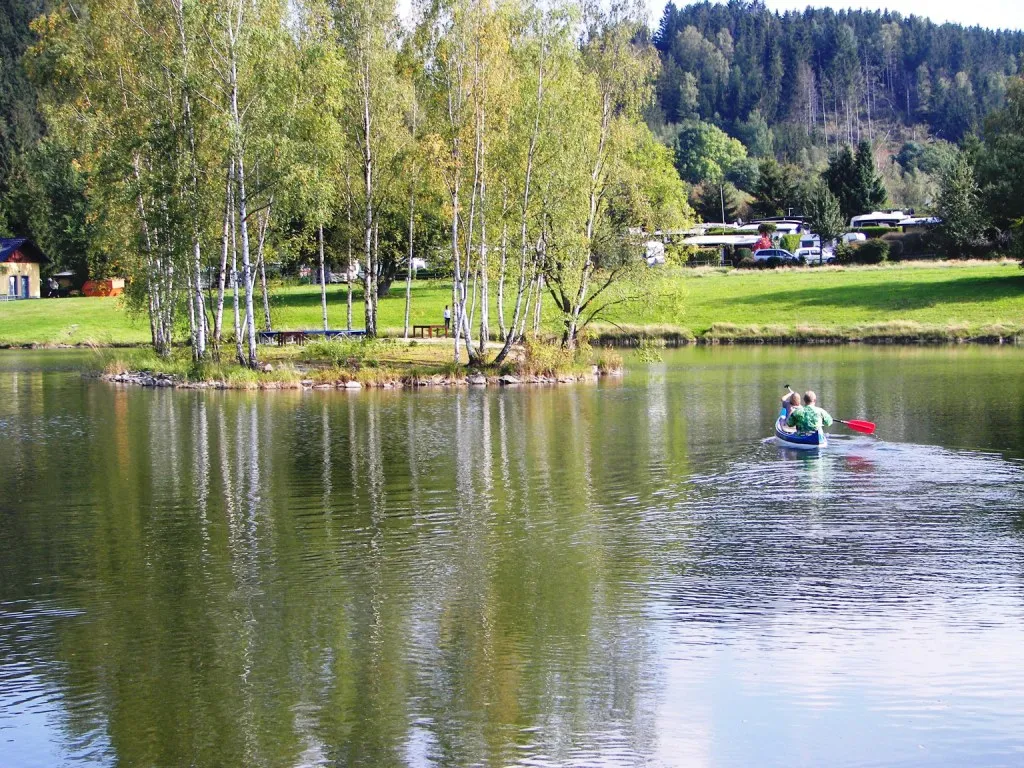
Start: Neudöhlau Village centerDöhlau: Serene Gravel Cycling Haven
Döhlau is a charming locality located in Oberfranken, Germany. For gravel cyclists, Döhlau provides access to a variety of off-road trails and scenic forest routes. The surrounding region offers a diverse terrain, ranging from challenging uphill climbs to smooth downhill descents. One of the well-known cycling spots in the area is the renowned Fichtelgebirge, which is home to numerous gravel trails and mountain paths. Döhlau itself is a quiet and peaceful village, filled with historical landmarks and picturesque landscapes, making it an ideal destination for gravel cycling enthusiasts seeking a combination of nature and cultural exploration.5 km
5 km
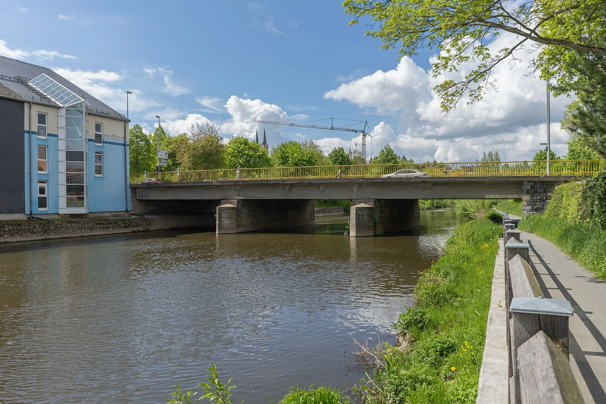
OberkotzauVillageOberkotzau awaits with its historical charm and inviting streets, providing an authentic experience of Bavaria's rural beauty.
10 km
10 km
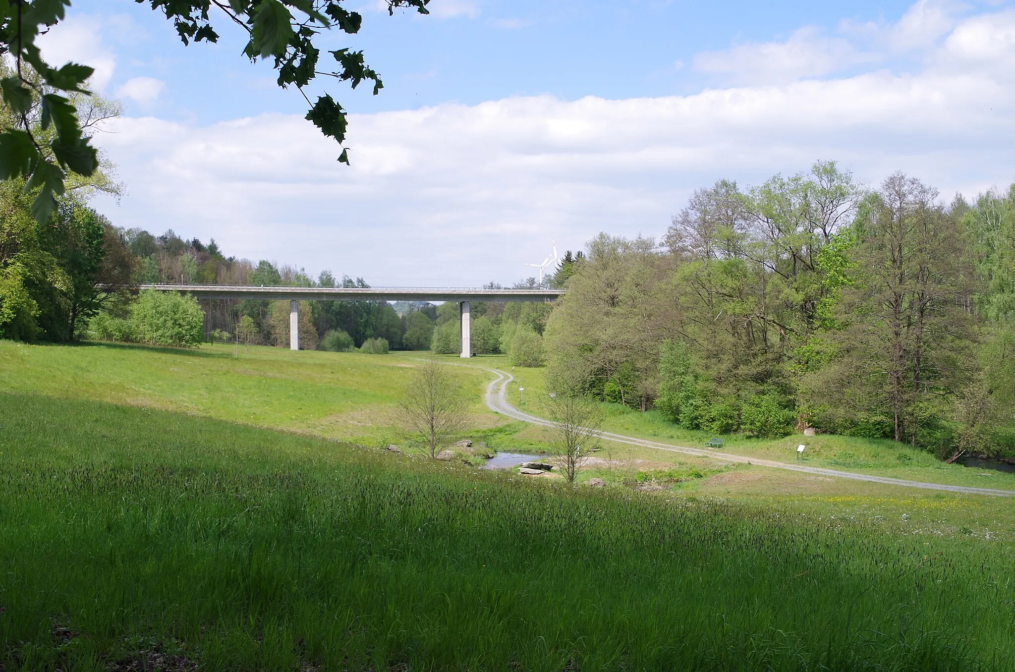
Fletschenreutherberg561 mPeakGet ready for a steep climb up Fletschenreutherberg, where panoramic views await at the top, rewarding your efforts.
27 km
27 km
ZellVillageZell greets cyclists with its charming architecture, offering a captivating glimpse into traditional German village life.
28 km
28 km
Haidberg697 mPeakHaidberg poses a thrilling challenge with its winding roads and rewarding vistas, sure to leave a lasting impression.
49 km
49 km
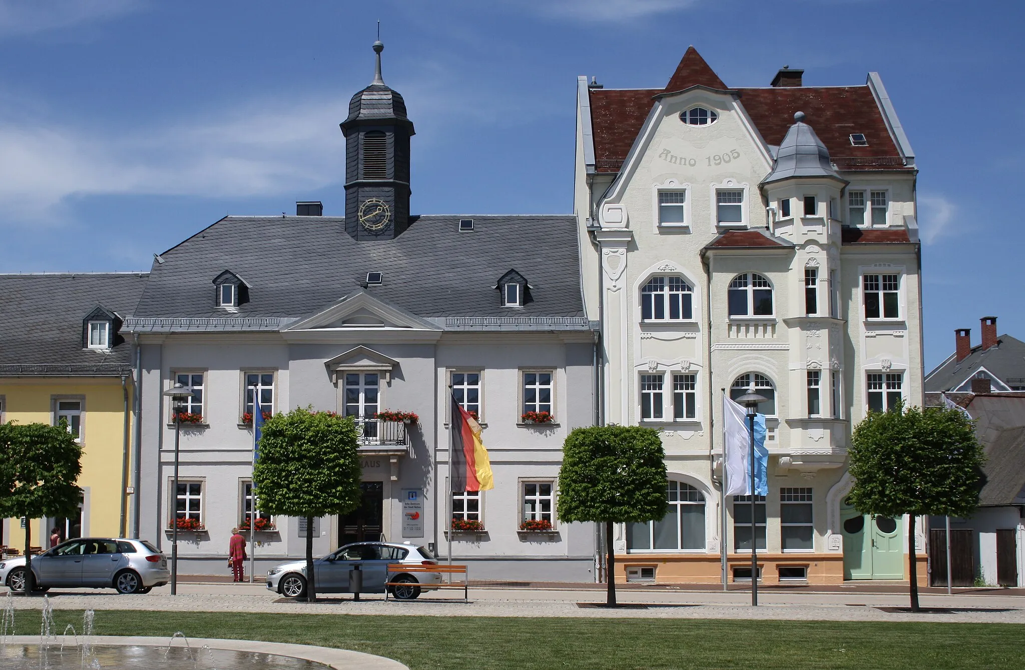
HelmbrechtsTownDiscover the captivating town of Helmbrechts, where historical buildings and breathtaking natural landscapes merge harmoniously.
49 km
49 km
Aussichtsturm KirchbergViewpointClimb Aussichtsturm Kirchberg for a panoramic view that stretches far beyond the picturesque rolling hills of the region, creating a truly memorable experience.
56 km
56 km
Wachende JungfrauViewpointWachende Jungfrau is a rock formation that captivates visitors with its unique appearance, providing a sense of wonder and intrigue.
56 km
56 km
SchauensteinTownAs you reach Schauenstein, feel the thrill and satisfaction of conquering challenging terrains while embracing the town's rich history and architectural beauty.
69 km
69 km
KöditzVillageKöditz, renowned for its historical sights and quaint streets, offers an ideal setting to appreciate the beauty of the region and rest before continuing your journey.
77 km
77 km
AlsenbergVillageConquer Alsenberg, a legendary climb revered among cyclists for its demanding ascent and iconic vistas, making it a true highlight of your journey.
79 km
79 km
Finish: Neudöhlau Village centerDöhlau: Serene Gravel Cycling Haven
Cycling routes nearby: