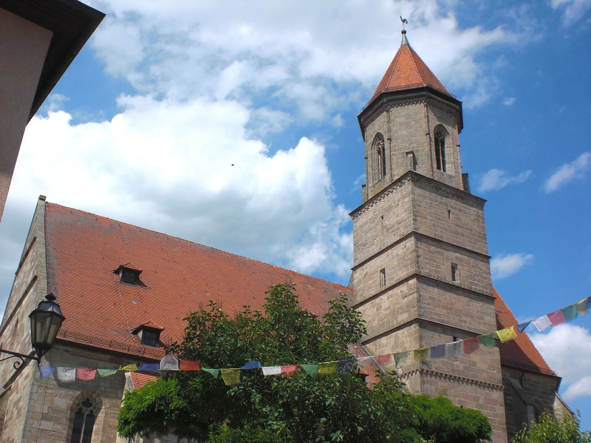
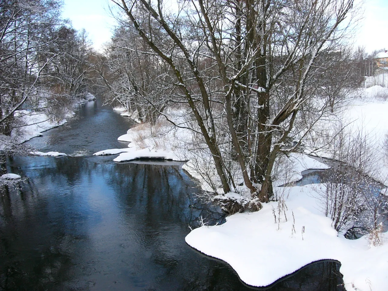
Experience cycling at its finest in Hof, a cyclist's haven in the Oberfranken region of Germany.
Cycling routes from Hof
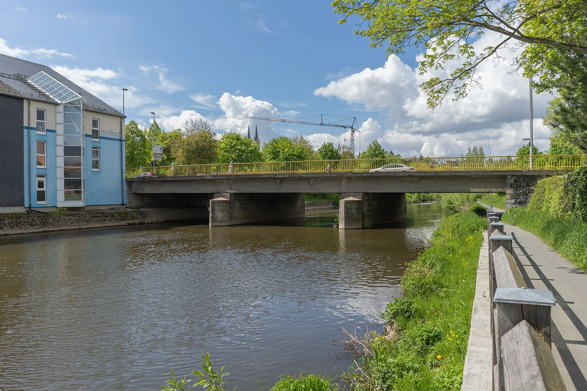
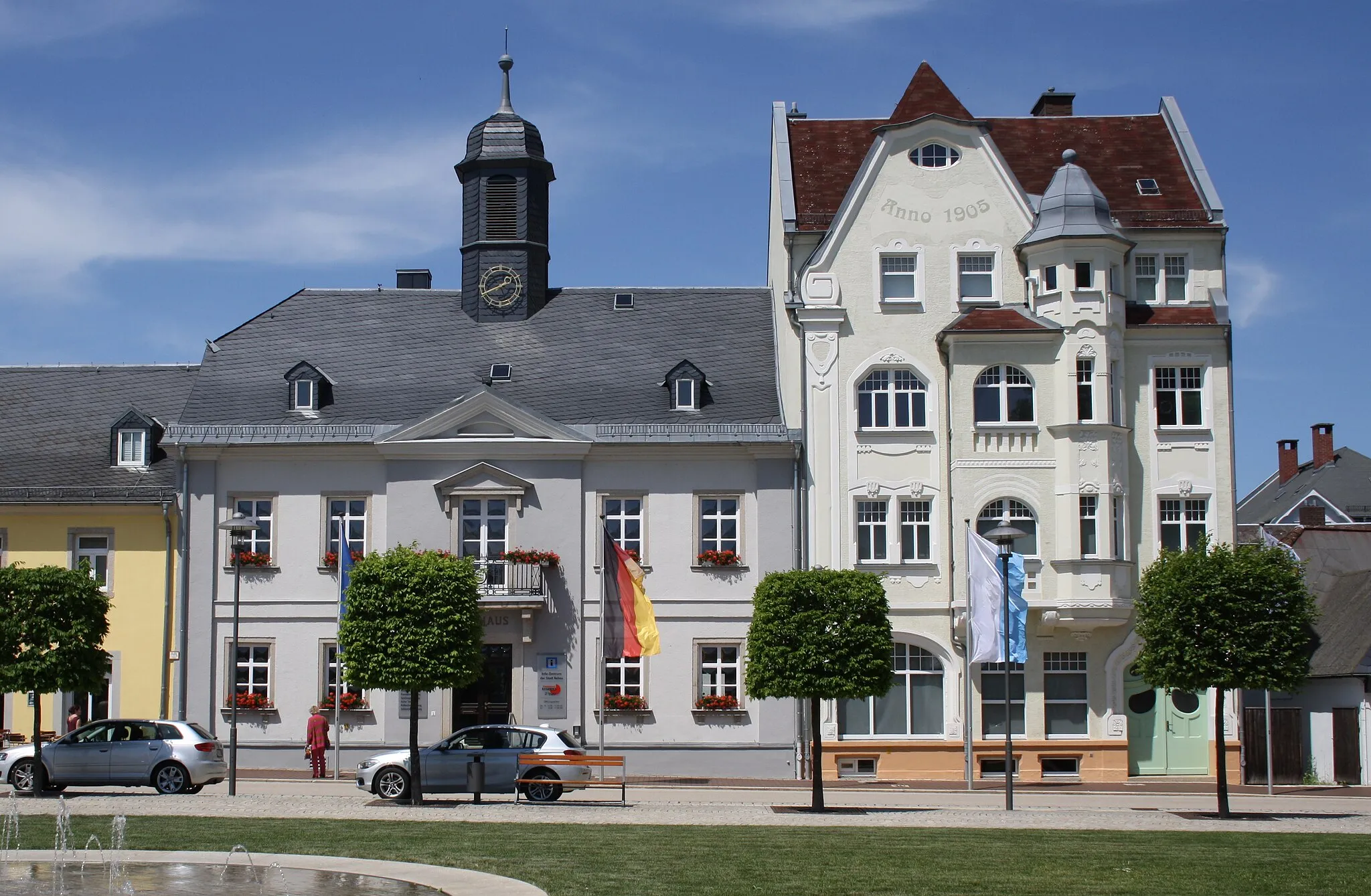
Hof, situated in the Oberfranken region of Germany, offers a varied cycling experience for both road and gravel cyclists. From the road cyclist's perspective, the locality provides well-maintained routes with scenic views of the Bavarian countryside. Hof is also well-known for its cycling-friendly infrastructure and numerous bike paths throughout the city. Nearby, cyclists can explore the Franconian Forest, which offers challenging climbs and beautiful natural landscapes. With its cycling amenities and access to enjoyable routes, Hof is a desirable destination for cyclists looking to explore Germany's countryside.
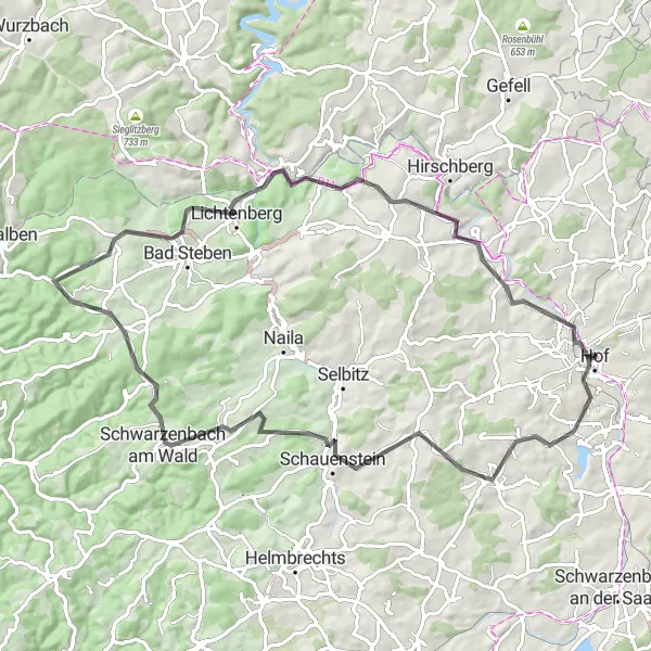
Challenge yourself with the climb to Großer Kornberg and enjoy the beauty of Tiefenbrunn
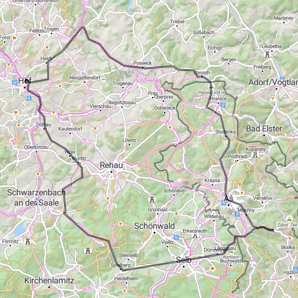
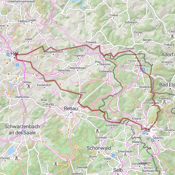
This road route starts in Hof and takes you to Tiefenbrunn, a picturesque area known for its natural beauty. With a total ascent of 1188m and a distance of 86km, this route is suitable for seasoned cyclists. The highlight of the route is the challenging climb to Großer Kornberg, offering stunning panoramic views at the top. Other highlights include the cultural heritage of Aš and the scenic Nebesa area.
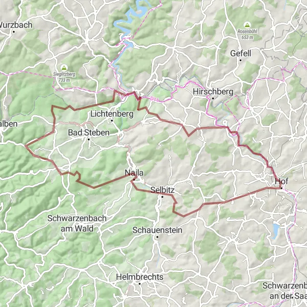
Gravel Adventure
Embark on a thrilling gravel adventure through the enchanting landscapes of Oberfranken.
The Gravel Adventure is a thrilling cycling route that takes you off-road through the enchanting landscapes of Oberfranken. With a total distance of 67 kilometers and an ascent of 1242 meters, this route offers a moderate challenge for experienced amateur cyclists. Highlights along the way include Köditz, a small village with stunning natural beauty and quaint charm. Schöne Aussicht, as the name suggests, provides breathtaking views of the surrounding landscapes. Naila is worth a stop for its cultural offerings and picturesque scenery. Bad Steben, with its thermal baths, offers a perfect opportunity for relaxation before reaching Marienberg, a charming village with beautiful architecture and tranquil atmosphere. Blankeneck captivates with its stunning natural surroundings, while Berg offers majestic views of the surrounding hills. Unterkotzau, the final highlight, is a charming village that combines historical charm with natural beauty.
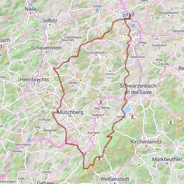
Experience the scenic landscapes of Oberfranken on this challenging road cycling route.
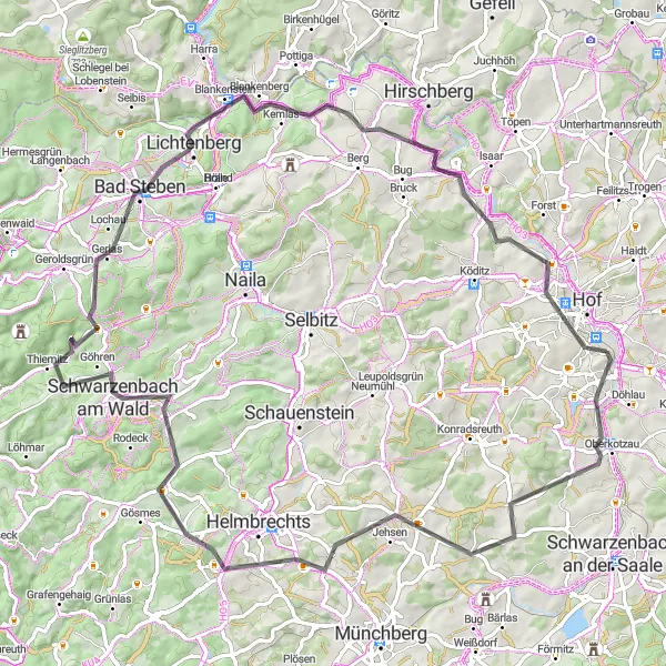
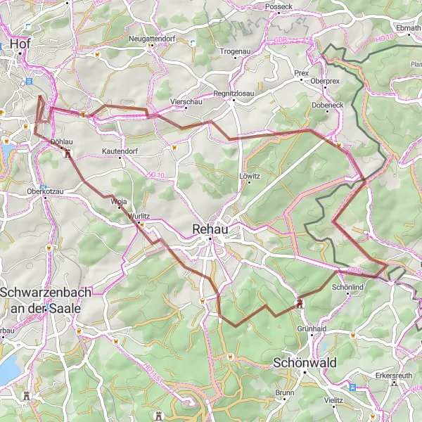
The Oberfranken Circuit is a beautiful road cycling route that takes you through picturesque landscapes and charming villages. With a total distance of 84 kilometers and an ascent of 1309 meters, this route offers a good challenge for well-trained amateur cyclists. Highlights along the way include Oberkotzau, a small town with a rich history, and Höferberg, which offers stunning panoramic views. Another highlight is Wüstenselbitz, a quaint village known for its traditional architecture. Rauhenberg is also worth a stop, with its charming countryside setting. As you continue your journey, Gerlaser Höhe offers breathtaking views of the surrounding hills. Bad Steben, famous for its thermal baths, provides a perfect opportunity for relaxation before reaching Rauher Bühl and Joditz. The final highlight of the route is the picturesque town of Hofeck.
Konradsreuth - Hof Round-Trip
An exciting cycling route with challenging climbs and scenic landscapes
Experience a thrilling cycling adventure on the Konradsreuth - Hof Round-Trip. This route offers stunning scenery, challenging climbs, and highlights such as the Hoher Stein and Döbraberg. With a total ascent of 1269 meters and a distance of 78 kilometers, this route is perfect for well-trained amateurs looking for a challenging ride. Explore the charming town of Hof and enjoy the picturesque views along the way.
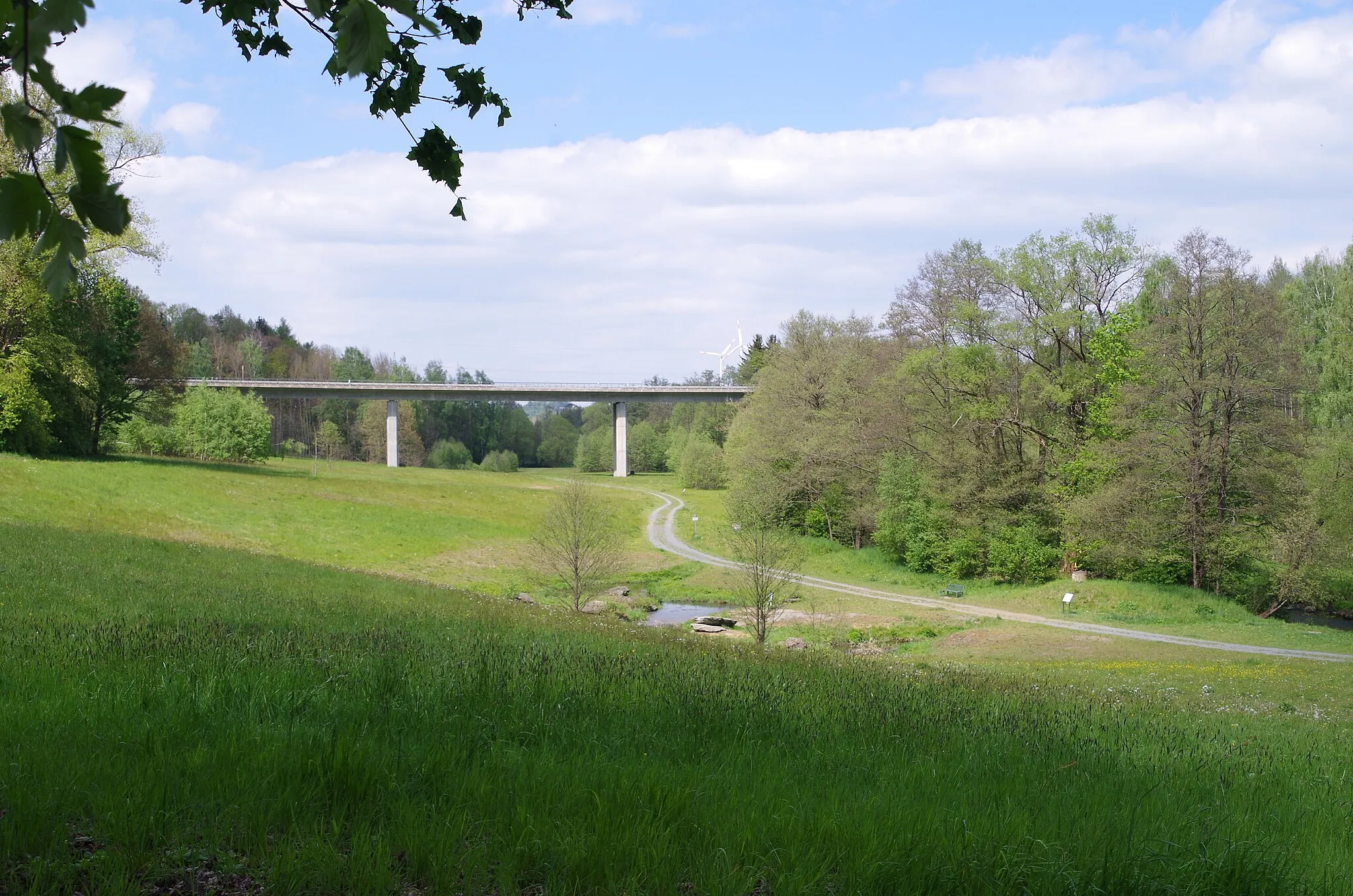
Explore the natural beauty of Stobersreuth and enjoy the scenic Großer Waldstein area
This gravel route starts in Stobersreuth, a picturesque area known for its natural beauty. With a total ascent of 1079m and a distance of 71km, it offers a challenging and rewarding cycling experience. Highlights along the route include the scenic Großer Waldstein, the historic Rotes Schloß, and the peaceful atmosphere of Schnackenhof. Immerse yourself in the stunning landscapes and enjoy the serenity of the surroundings.
Selbitz and Gefell Road Route
Experience the natural beauty of Selbitz and explore historic sites in Gefell
Starting in Selbitz, this road route takes you through beautiful natural landscapes. With a total ascent of 1259m and a distance of 83km, it is suitable for experienced cyclists. Highlights along the route include the majestic Drachenfels, the charming town of Gefell, and the tranquil atmosphere of Zoppoten. Enjoy the scenic beauty and immerse yourself in the region's rich history.
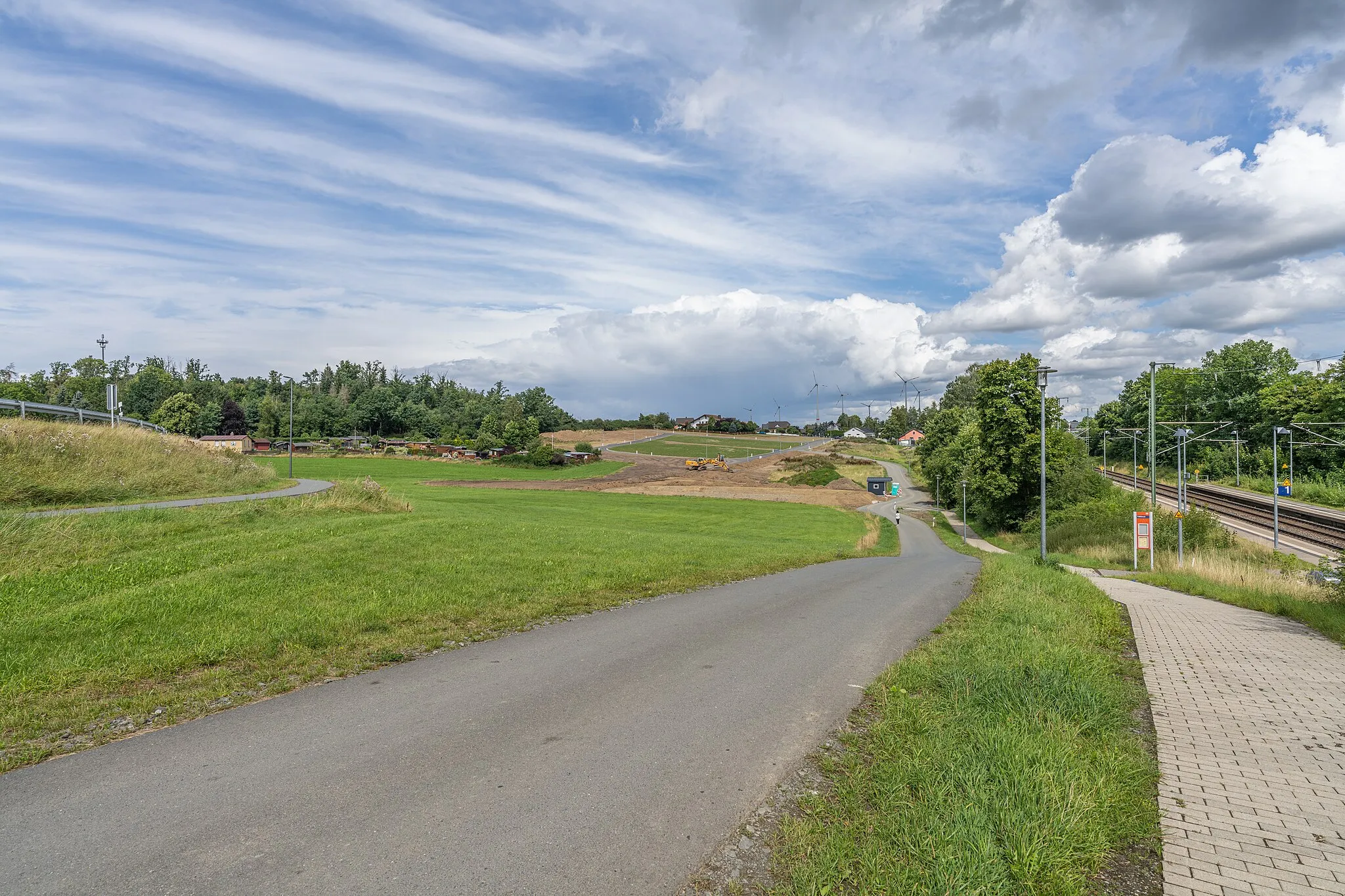
Hof to Blankenstein Gravel Route
Discover the rugged gravel roads and picturesque landscapes on this Hof to Blankenstein route.
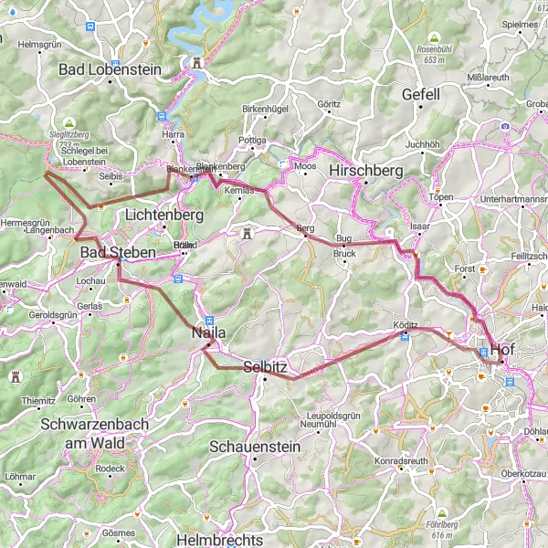
This gravel route takes you from Hof to Blankenstein, offering stunning views, diverse terrain, and a challenging climb to Berg. The route covers a distance of 76km with a total ascent of 1376m. You'll pass through charming towns like Naila and Marienberg, and make sure to stop at the famous Jean-Paul-Felsen at 67km. Overall, this route offers a unique cycling experience with a touch of adventure and natural beauty.
Hof and Wachthübel Road Route
Explore the charming town of Hof and ride through picturesque landscapes
This road route starts in Hof, a charming town with historical sites and cultural attractions. The route offers a total ascent of 635m and covers a distance of 52km. Highlights along the way include the scenic Wachthübel area and the beautiful village of Bösenbrunn. Enjoy the natural beauty and tranquil atmosphere as you explore the region.
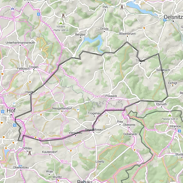
Climb to Posseck and enjoy the stunning views at Háj u Aše
This gravel route takes you through picturesque landscapes, with a total ascent of 1013m and a distance of 67km. The highlight of the route is Posseck, where you can take in the breathtaking views. Another highlight is the Háj u Aše viewpoint, offering panoramic vistas of the surrounding area.
Escape to the serene countryside on this gravel cycling route near Hof.
The Rural Retreat is a peaceful gravel cycling route that takes you through the serene countryside near Hof. With a total distance of 49 kilometers and an ascent of 812 meters, this route provides a relatively easy ride for experienced amateur cyclists. Highlights along the way include Tauperlitz, a small village with beautiful rural landscapes and traditional charm. Osseck am Wald offers picturesque views of the surrounding nature, while Štítarský vrch is a hill with a historic significance and scenic beauty. Woja is worth a stop to admire its idyllic landscapes dotted with charming farms and peaceful fields. Moschendorf, the final highlight, enchants with its tranquil atmosphere and picturesque surroundings.
Cycling routes nearby:

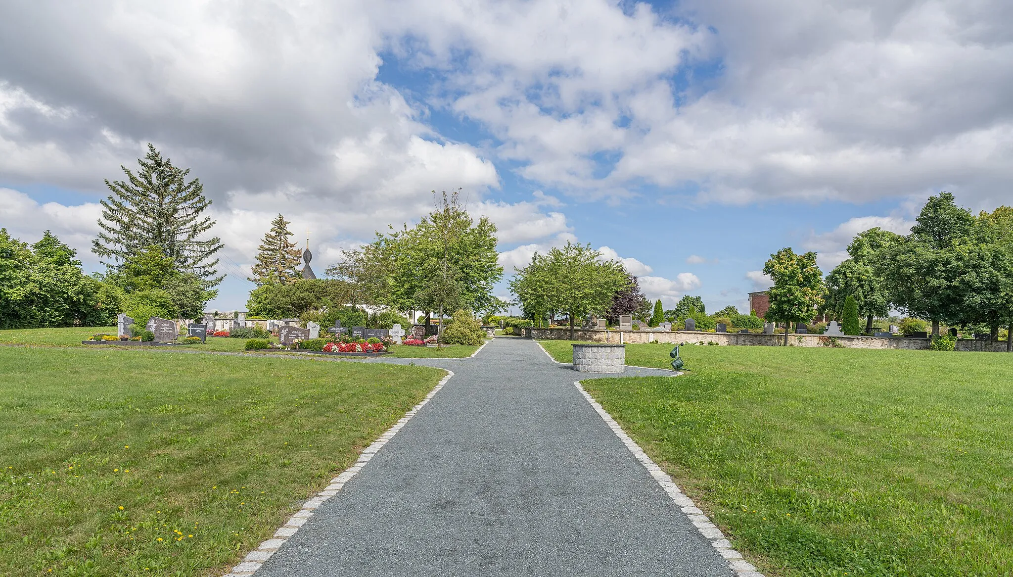


Nearby regions: