Posseck and Háj u Aše Gravel Route
A gravel cycling route starting from Hof
Climb to Posseck and enjoy the stunning views at Háj u Aše
Map
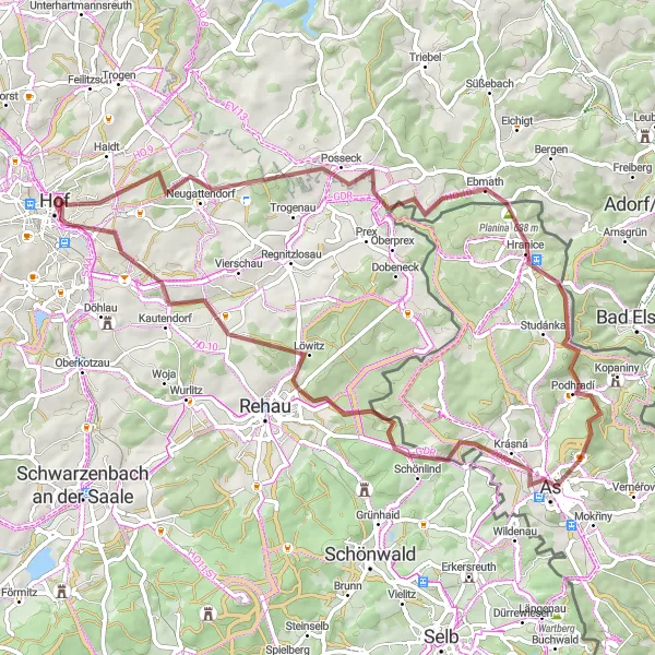
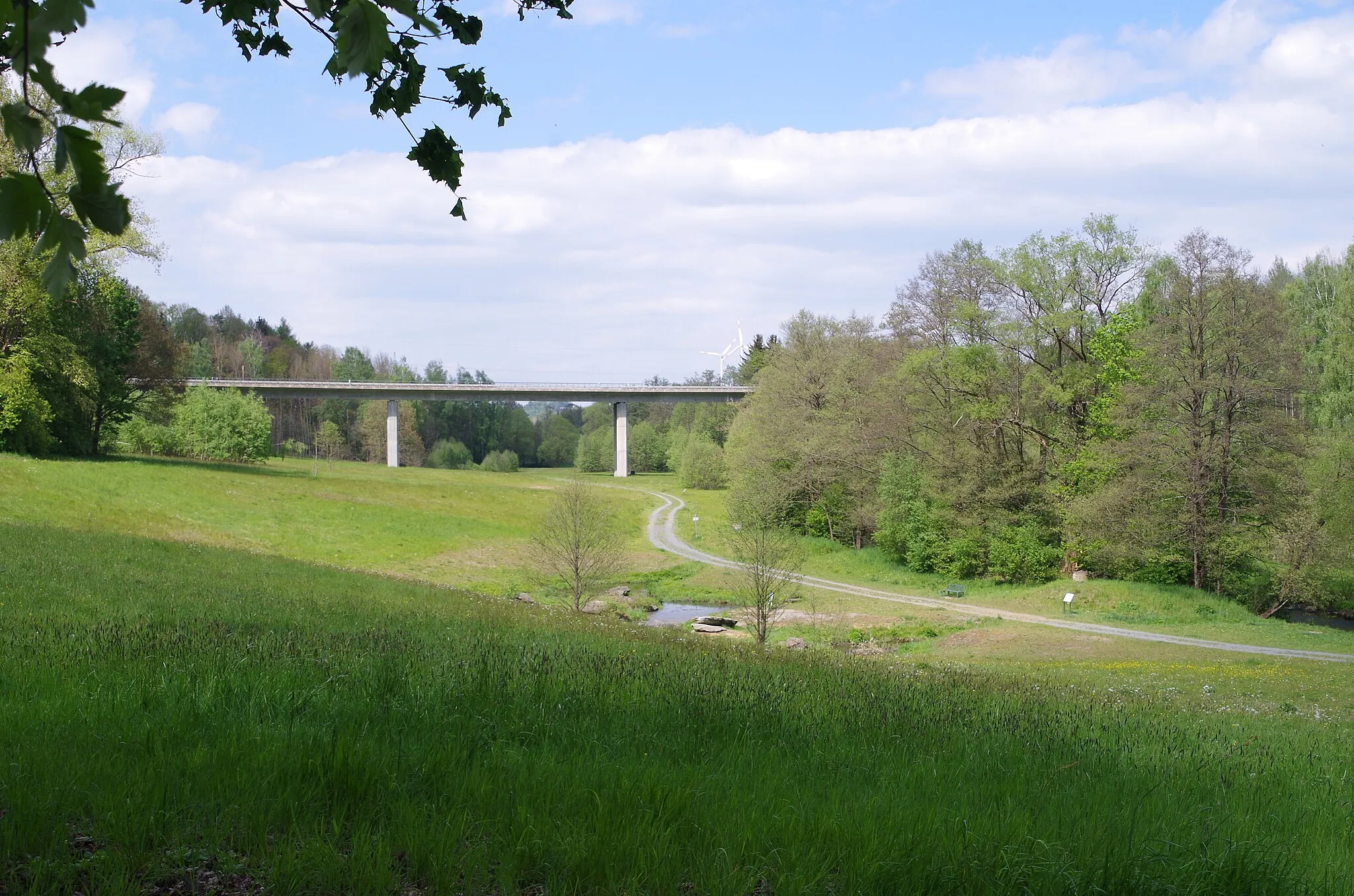
This gravel route takes you through picturesque landscapes, with a total ascent of 1013m and a distance of 67km. The highlight of the route is Posseck, where you can take in the breathtaking views. Another highlight is the Háj u Aše viewpoint, offering panoramic vistas of the surrounding area.
gravel
67 km
1013 m
Tough
Route profile
Highlights on the route
0 km
0 km
Start: Hof City centerHof: Experience cycling at its finest in Hof, a cyclist's haven in the Oberfranken region of Germany.
Hof, situated in the Oberfranken region of Germany, offers a varied cycling experience for both road and gravel cyclists. From the road cyclist's perspective, the locality provides well-maintained routes with scenic views of the Bavarian countryside. Hof is also well-known for its cycling-friendly infrastructure and numerous bike paths throughout the city. Nearby, cyclists can explore the Franconian Forest, which offers challenging climbs and beautiful natural landscapes. With its cycling amenities and access to enjoyable routes, Hof is a desirable destination for cyclists looking to explore Germany's countryside.13 km
13 km
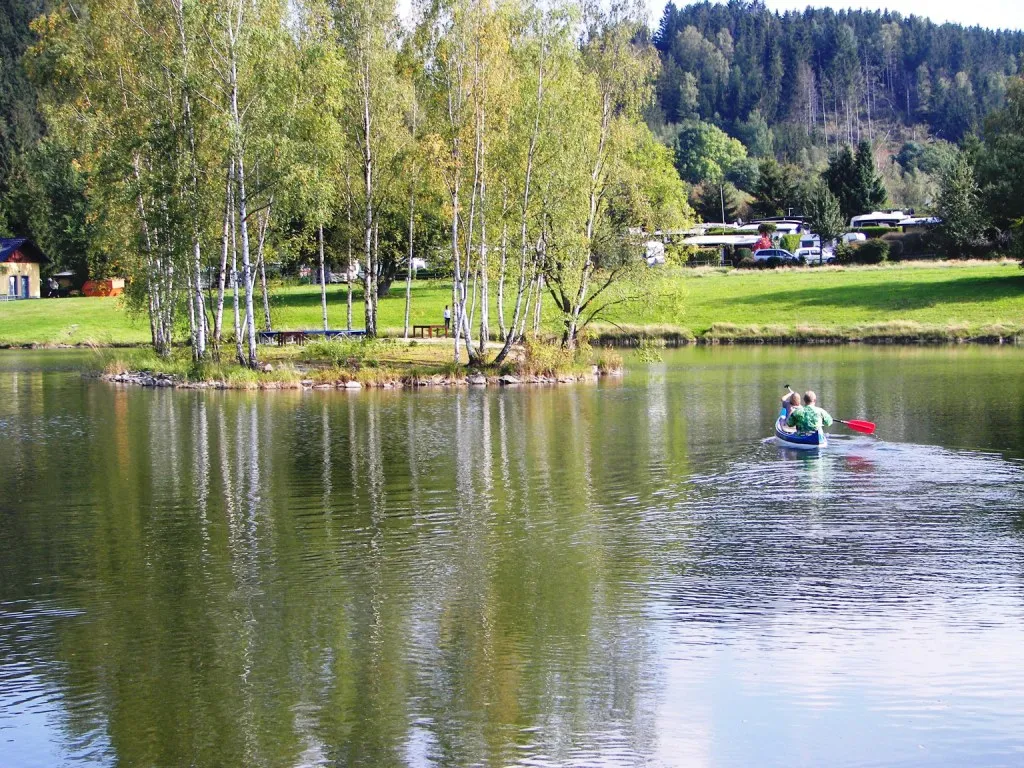
PosseckVillagePosseck offers stunning panoramic views, making it worth the stop.
23 km
23 km
Planina638 mPeakPlanina is a charming village located along the route.
25 km
25 km
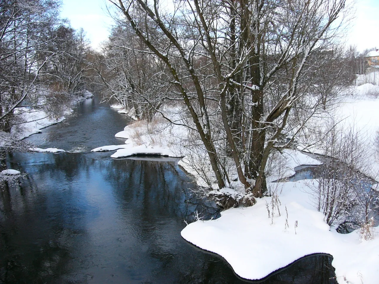
HraniceVillageHranice showcases beautiful natural features, adding to the scenic route.
36 km
36 km
rozhledna Háj u AšeViewpointrozhledna Háj u Aše offers breathtaking panoramic views and is a must-visit.
37 km
37 km
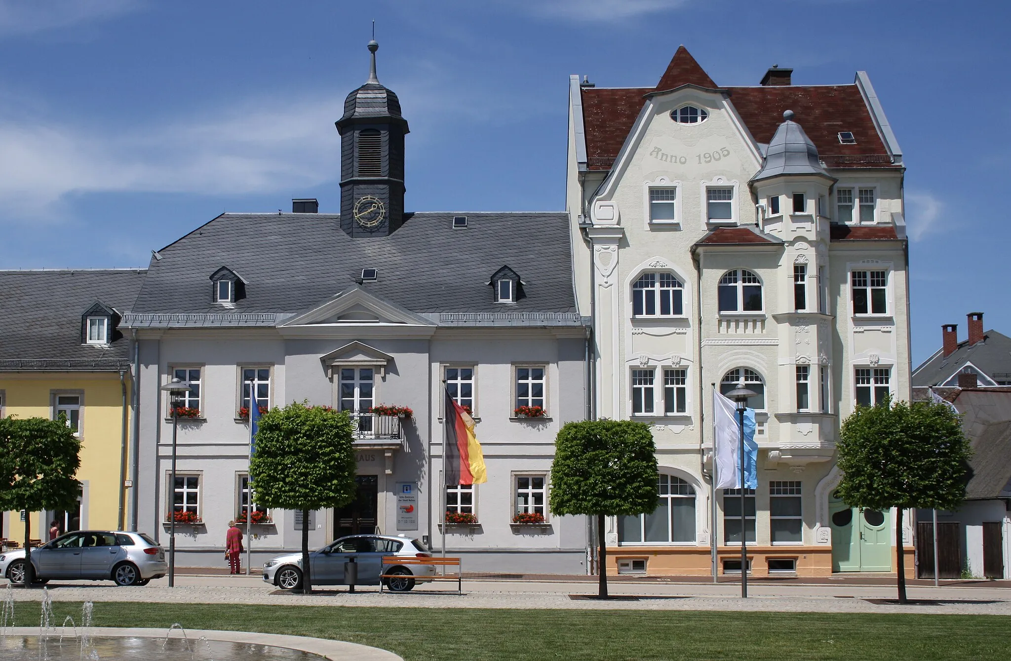
AšTownAš, with its rich history and cultural heritage, is a great place to explore.
43 km
43 km
Štítarský vrch716 mPeakŠtítarský vrch is a notable landmark along the route.
57 km
57 km
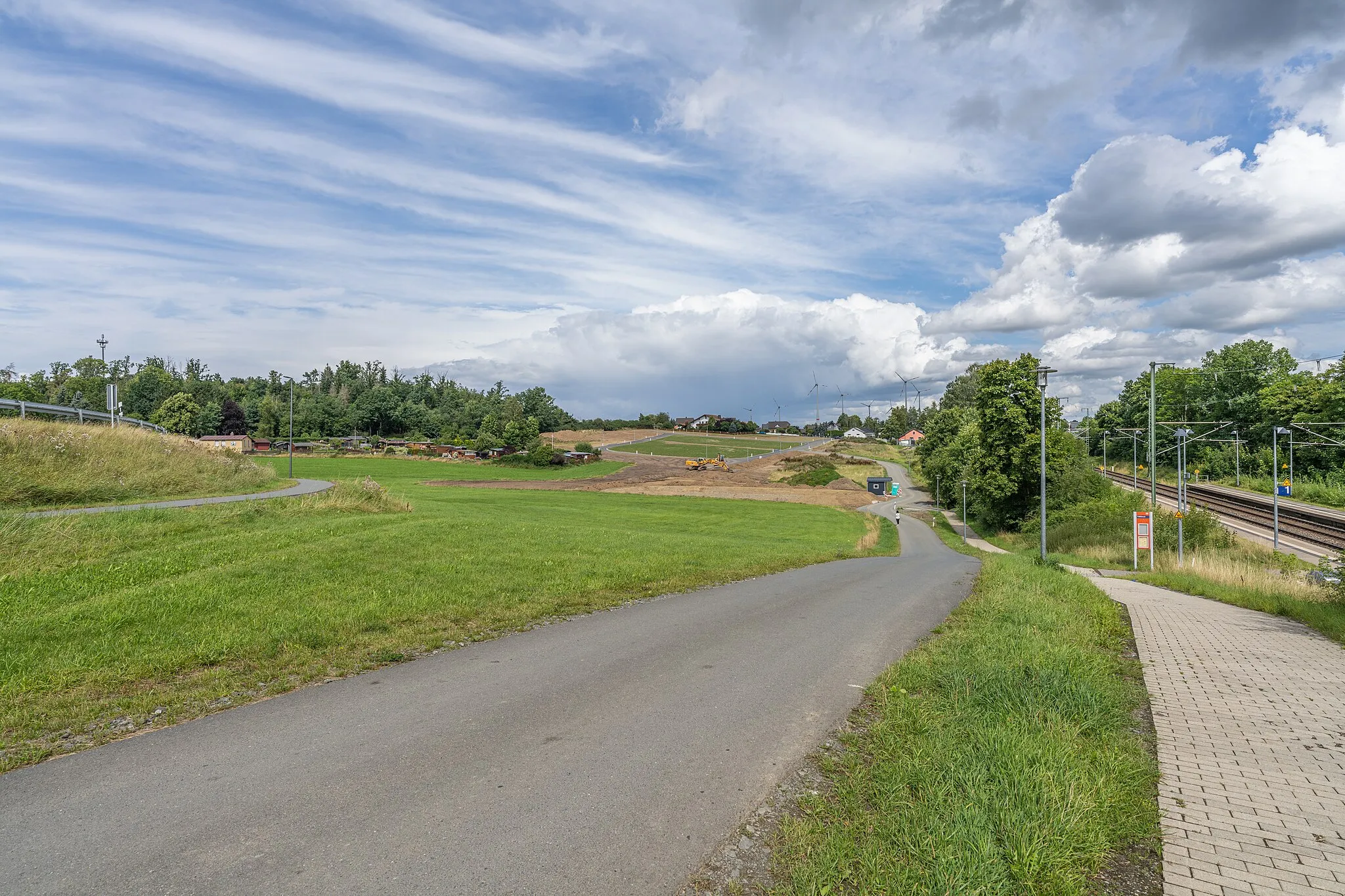
DraisendorfVillageDraisendorf is a small village offering a peaceful atmosphere.
65 km
65 km
BahnhofsviertelSub-urbBahnhofsviertel is an interesting area known for its railway station.
67 km
67 km
Finish: Hof City centerHof: Experience cycling at its finest in Hof, a cyclist's haven in the Oberfranken region of Germany.
Cycling routes from Hof:
Hof and Wachthübel Road Route Posseck and Háj u Aše Gravel Route Tiefenbrunn and Großer Kornberg Road Route Konradsreuth - Hof Round-Trip Stobersreuth and Großer Waldstein Gravel Route Oberfranken Circuit Gravel Adventure Selbitz and Gefell Road Route Rural Retreat Countryside Tour Hof to Blankenstein Gravel Route Hof to Münchberg Road Route
Cycling routes nearby: