Konradsreuth - Hof Round-Trip
A road cycling route starting from Hof
An exciting cycling route with challenging climbs and scenic landscapes
Map
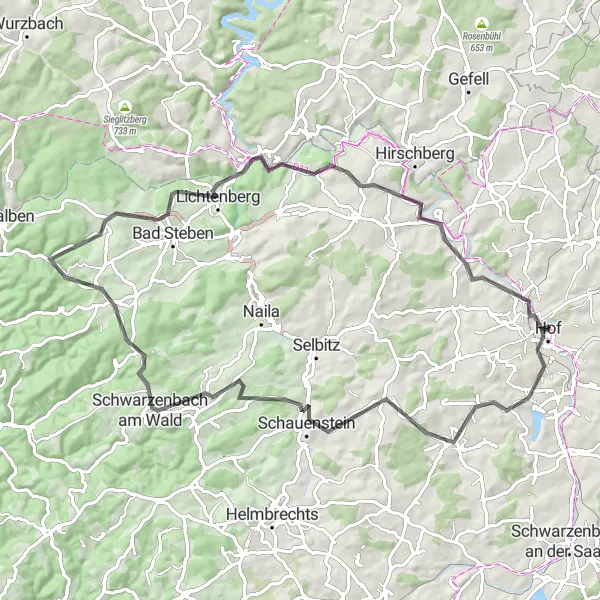
Experience a thrilling cycling adventure on the Konradsreuth - Hof Round-Trip. This route offers stunning scenery, challenging climbs, and highlights such as the Hoher Stein and Döbraberg. With a total ascent of 1269 meters and a distance of 78 kilometers, this route is perfect for well-trained amateurs looking for a challenging ride. Explore the charming town of Hof and enjoy the picturesque views along the way.
road
78 km
1269 m
Tough
Route profile
Highlights on the route
0 km
0 km
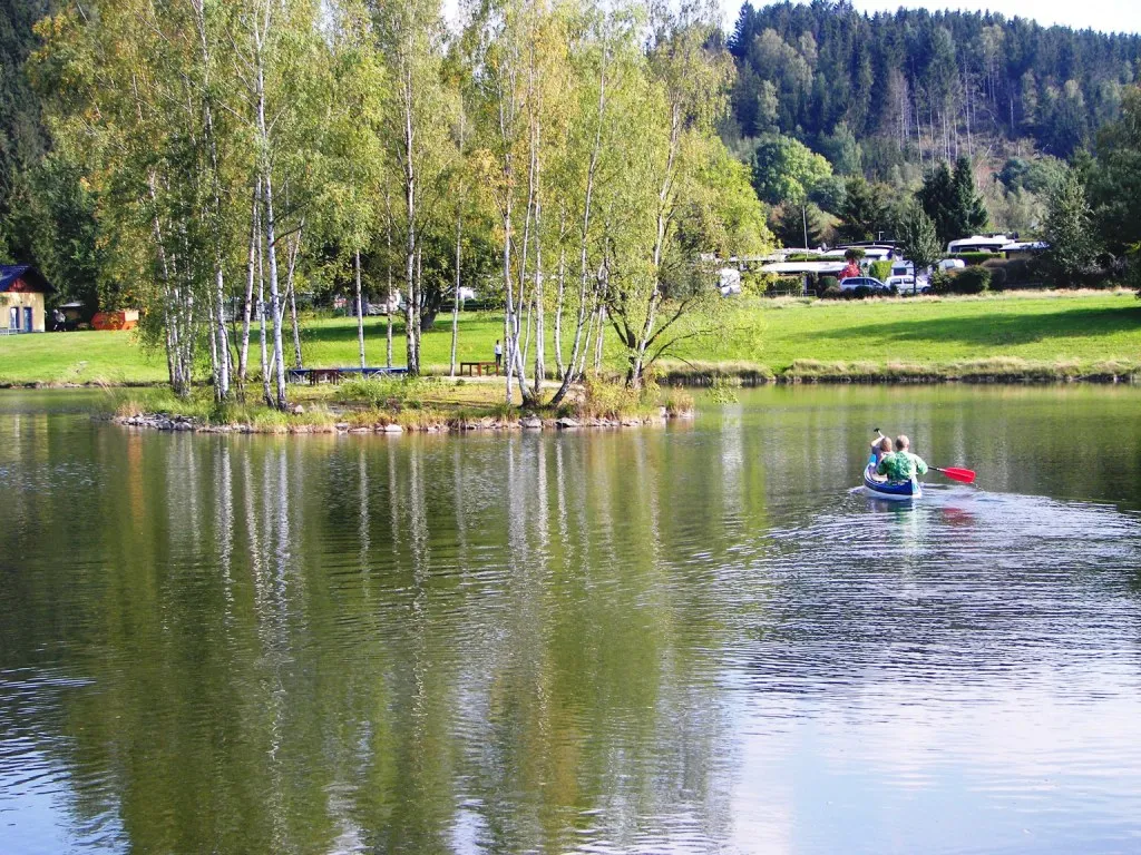
Start: Hof City centerHof: Experience cycling at its finest in Hof, a cyclist's haven in the Oberfranken region of Germany.
Hof, situated in the Oberfranken region of Germany, offers a varied cycling experience for both road and gravel cyclists. From the road cyclist's perspective, the locality provides well-maintained routes with scenic views of the Bavarian countryside. Hof is also well-known for its cycling-friendly infrastructure and numerous bike paths throughout the city. Nearby, cyclists can explore the Franconian Forest, which offers challenging climbs and beautiful natural landscapes. With its cycling amenities and access to enjoyable routes, Hof is a desirable destination for cyclists looking to explore Germany's countryside.10 km
10 km
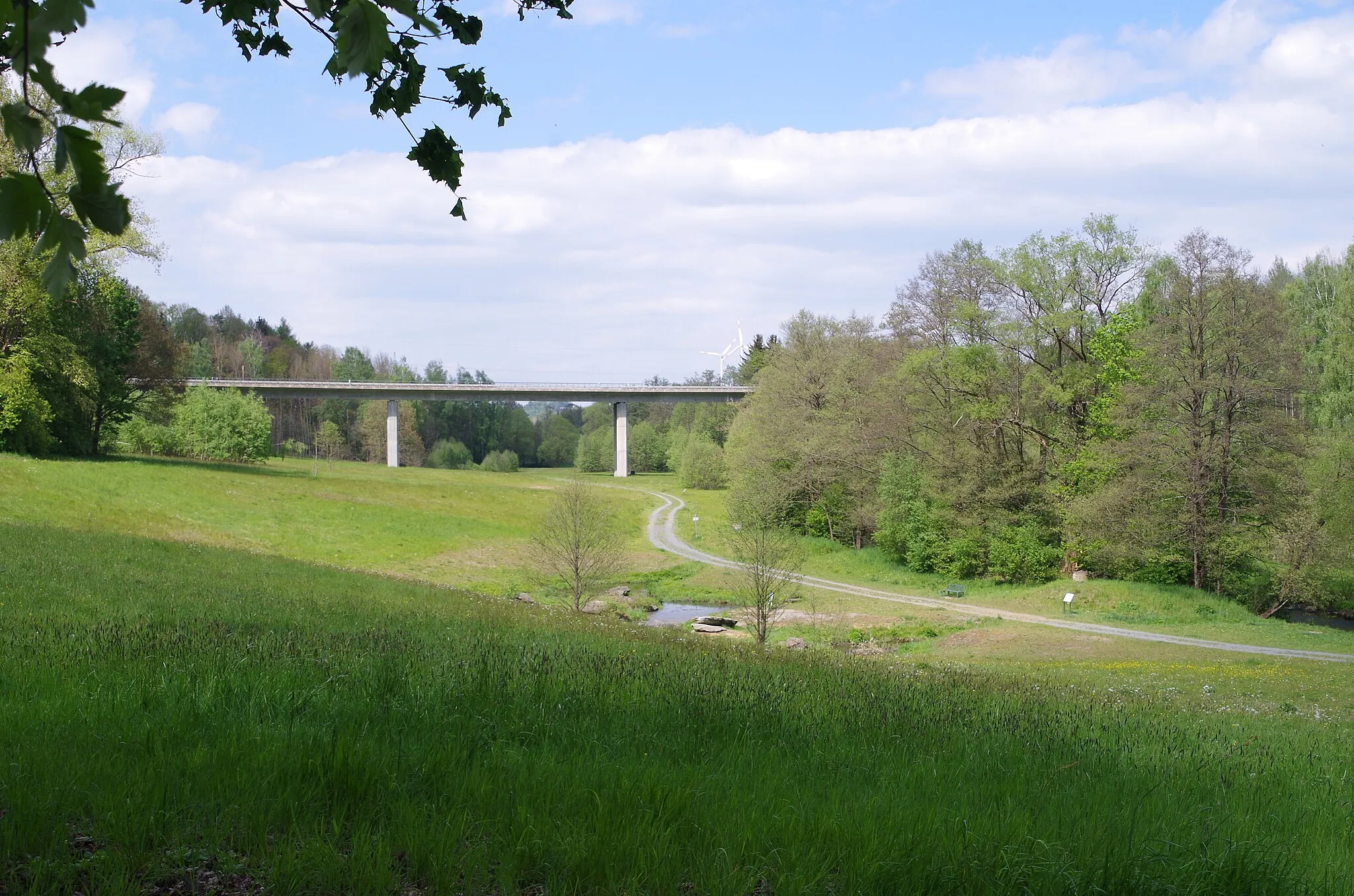
KonradsreuthVillageStop by Konradsreuth, a quaint town known for its rich history and traditional architecture. Take a break and explore the charming streets before continuing your cycling journey.
14 km
14 km
Hoher SteinViewpointVisit Hoher Stein, a natural rock formation offering breathtaking panoramic views of the surrounding landscapes. Capture the beauty of the region from this scenic spot.
30 km
30 km
Döbraberg794 mPeakPrepare yourself for the climb up Döbraberg, the highest peak in the area. Enjoy the challenge and reward yourself with magnificent views at the summit.
31 km
31 km
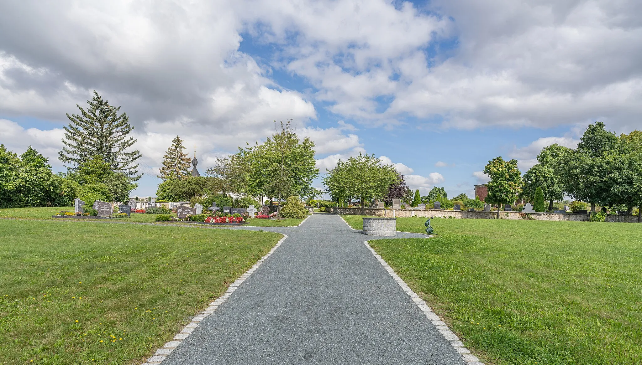
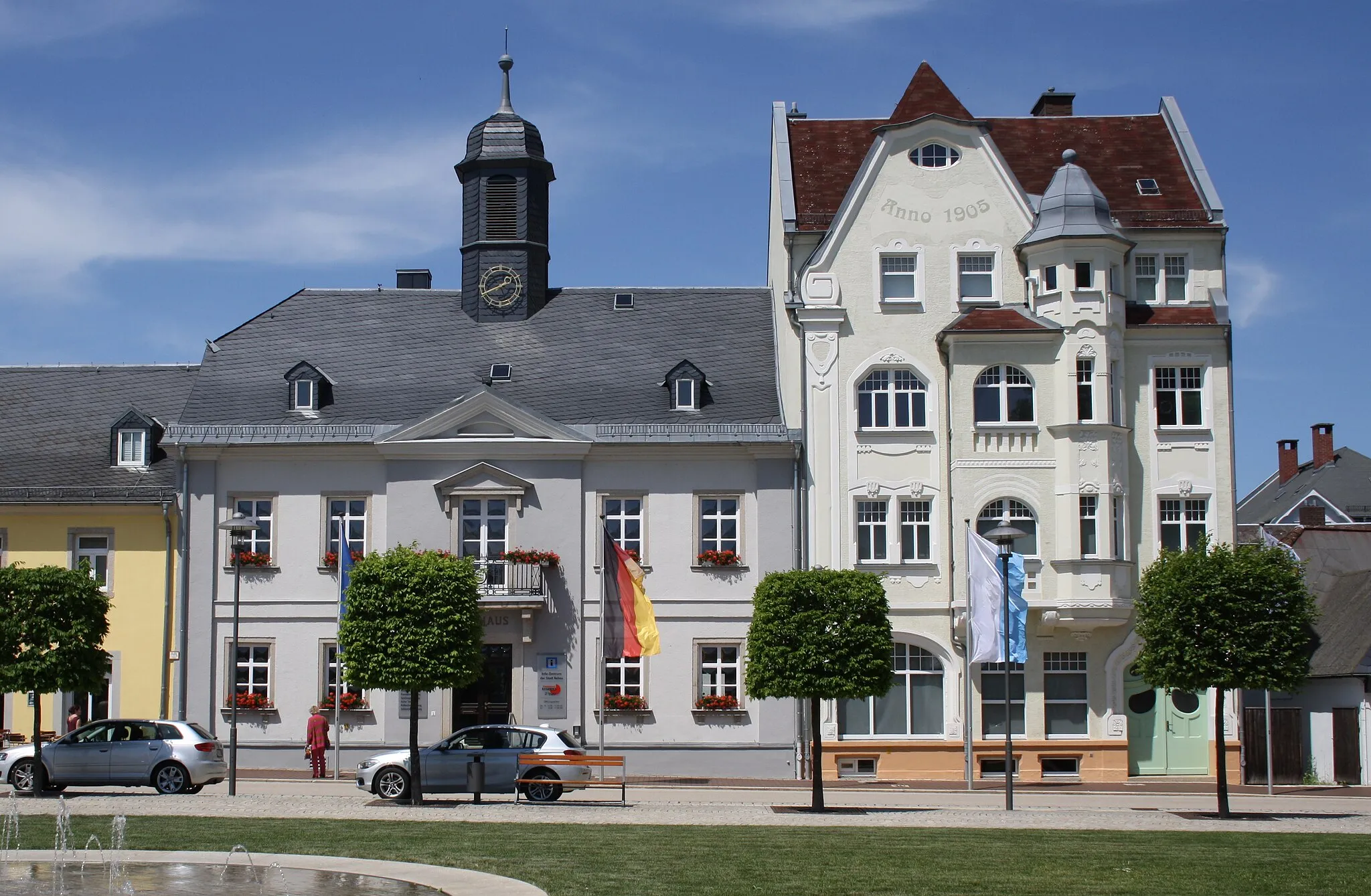
Schwarzenbach am WaldTownDiscover the idyllic town of Schwarzenbach am Wald, known for its well-preserved historic buildings. Take a moment to appreciate the architecture and immerse yourself in the local culture.
49 km
49 km
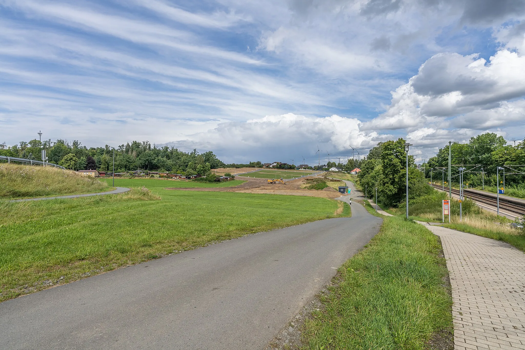
Rumpelbühl657 mPeakPass by Rumpelbühl, a charming village surrounded by lush green fields and forests. Enjoy the tranquil atmosphere and embrace the beauty of the countryside.
53 km
53 km
LichtenbergTownExplore Lichtenberg, a picturesque town with a rich history. Marvel at the medieval castle and take a stroll through the cobblestone streets lined with traditional houses.
63 km
63 km
Rauher Bühl621 mPeakMake a stop at Rauher Bühl, a scenic viewpoint offering panoramic vistas of the rolling hills and distant mountains. Take a moment to admire the beauty of nature.
68 km
68 km
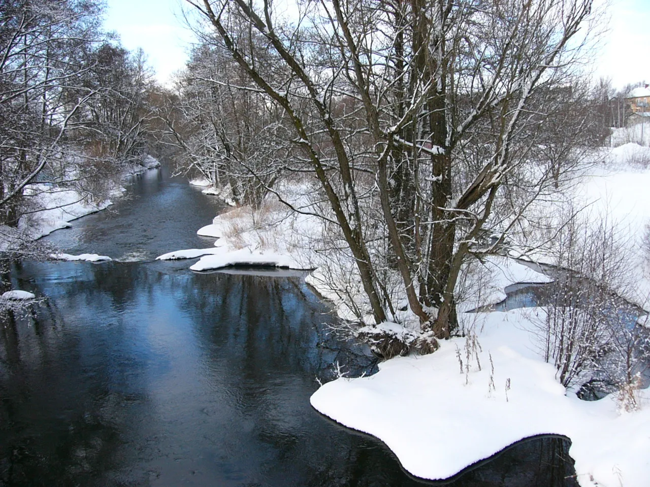
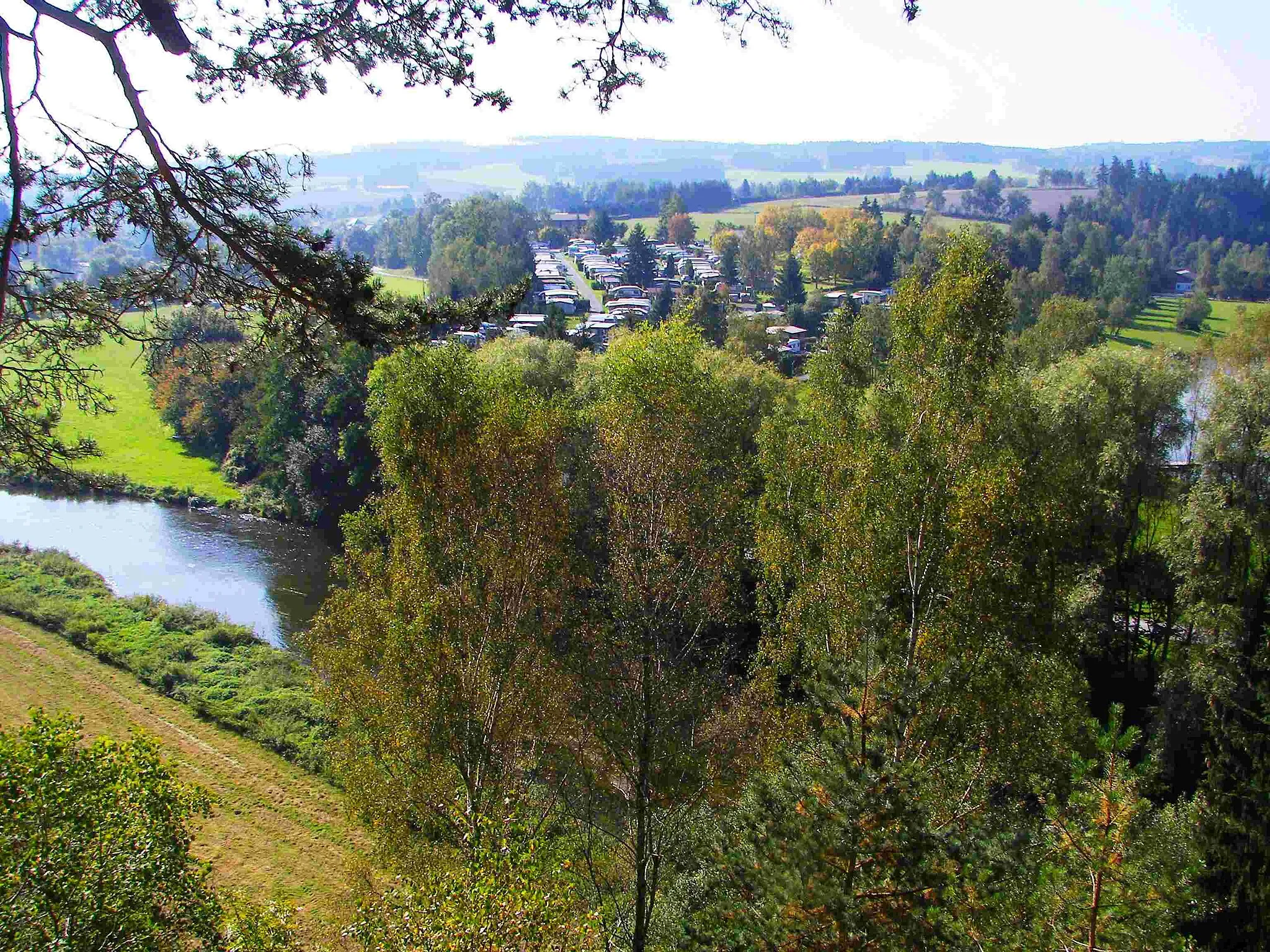
JoditzVillageVisit Joditz and enjoy the peaceful ambiance of the small village. Take a break at a local café and savor a delicious traditional pastry while soaking in the charming surroundings.
78 km
78 km
HofTownArrive in Hof, a vibrant town with a rich cultural heritage. Explore the historic sites, indulge in local cuisine, and immerse yourself in the lively atmosphere of this charming city.
78 km
78 km
Finish: Hof City centerHof: Experience cycling at its finest in Hof, a cyclist's haven in the Oberfranken region of Germany.
Cycling routes from Hof:
Hof and Wachthübel Road Route Posseck and Háj u Aše Gravel Route Tiefenbrunn and Großer Kornberg Road Route Konradsreuth - Hof Round-Trip Stobersreuth and Großer Waldstein Gravel Route Oberfranken Circuit Gravel Adventure Selbitz and Gefell Road Route Rural Retreat Countryside Tour Hof to Blankenstein Gravel Route Hof to Münchberg Road Route
Cycling routes nearby: