The Ultimate Gravel Challenge
A gravel cycling route starting from Dohlau
Embark on an epic gravel cycling challenge from Döhlau
Map

Get ready for the ultimate gravel challenge with this thrilling 99 km route. With an ascent of 1636 m, this challenging ride takes you through various terrains and showcases the beauty of the region. Highlights along the route include Hoher Stein, Leupoldsgrün, Naila, Schneidberg, Nordhalben, Kamm, Marienberg, Berg, Hof.
gravel
99 km
1636 m
Tough
Route profile
Highlights on the route
0 km
0 km
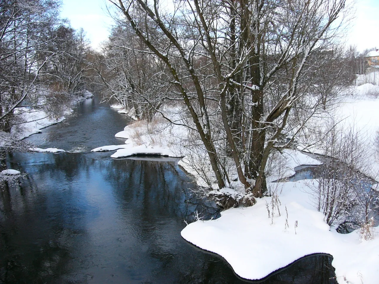
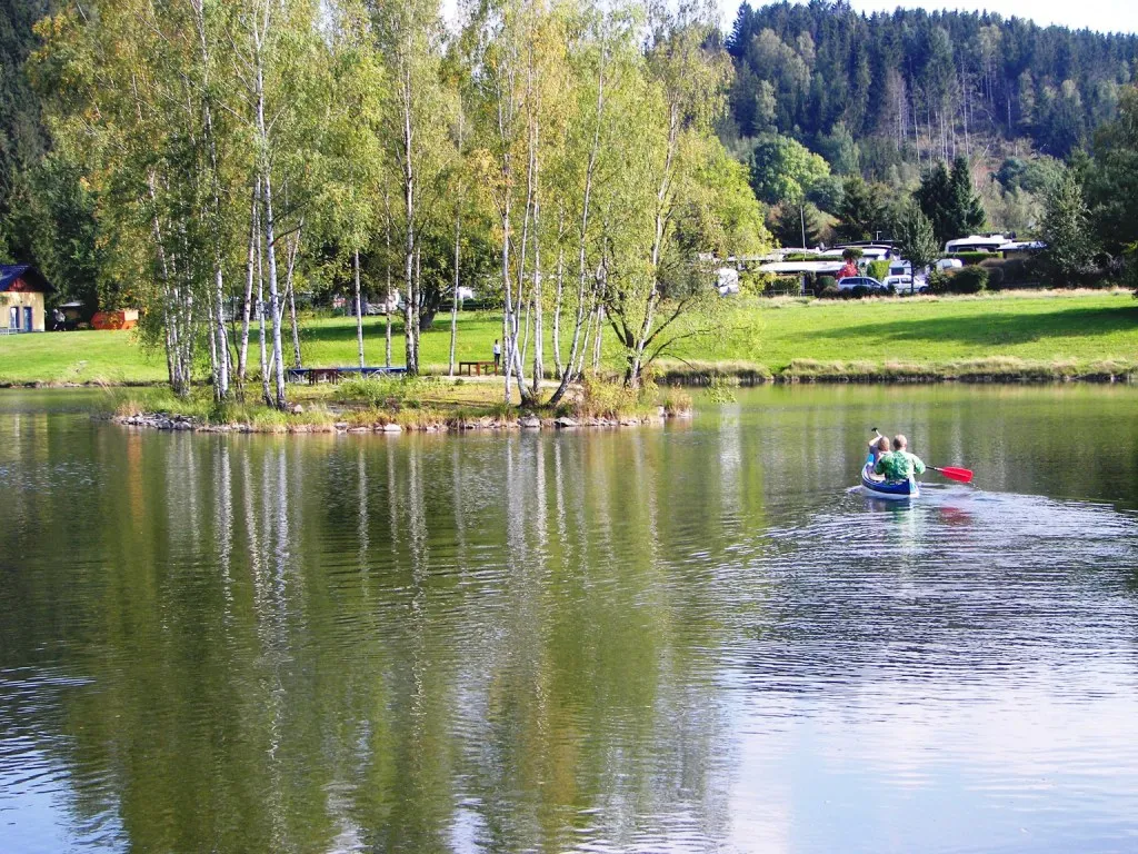
Start: Döhlau Village centerDöhlau: Serene Gravel Cycling Haven
Döhlau is a charming locality located in Oberfranken, Germany. For gravel cyclists, Döhlau provides access to a variety of off-road trails and scenic forest routes. The surrounding region offers a diverse terrain, ranging from challenging uphill climbs to smooth downhill descents. One of the well-known cycling spots in the area is the renowned Fichtelgebirge, which is home to numerous gravel trails and mountain paths. Döhlau itself is a quiet and peaceful village, filled with historical landmarks and picturesque landscapes, making it an ideal destination for gravel cycling enthusiasts seeking a combination of nature and cultural exploration.15 km
15 km
Hoher SteinViewpointMarvel at the impressive Hoher Stein, a rock formation with a rich historical significance.
15 km
15 km
LeupoldsgrünVillageExplore the picturesque town of Leupoldsgrün with its charming architecture and peaceful atmosphere.
26 km
26 km
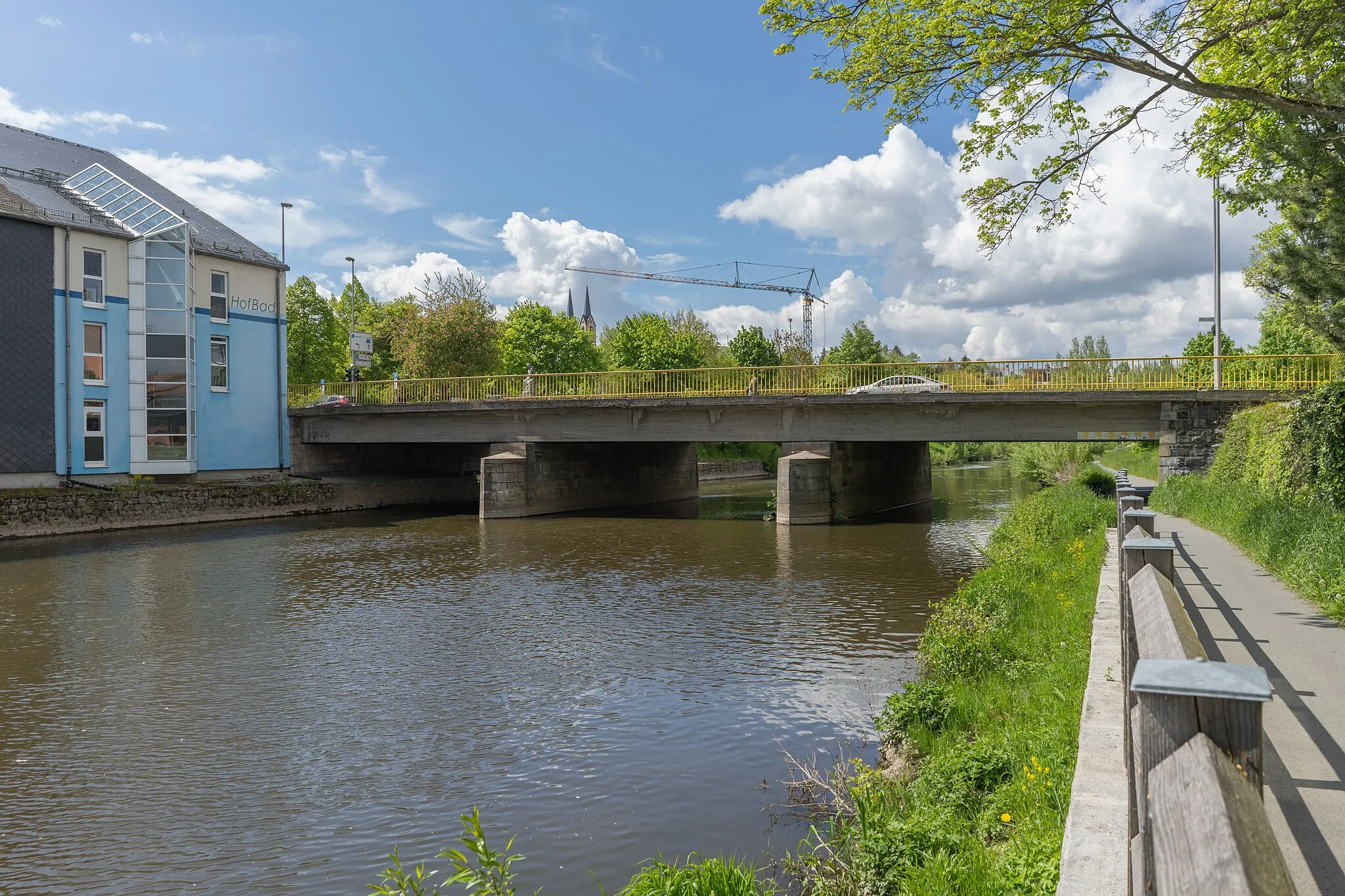
NailaTownDiscover the hidden gems of Naila and soak in the rich cultural heritage of the town.
36 km
36 km
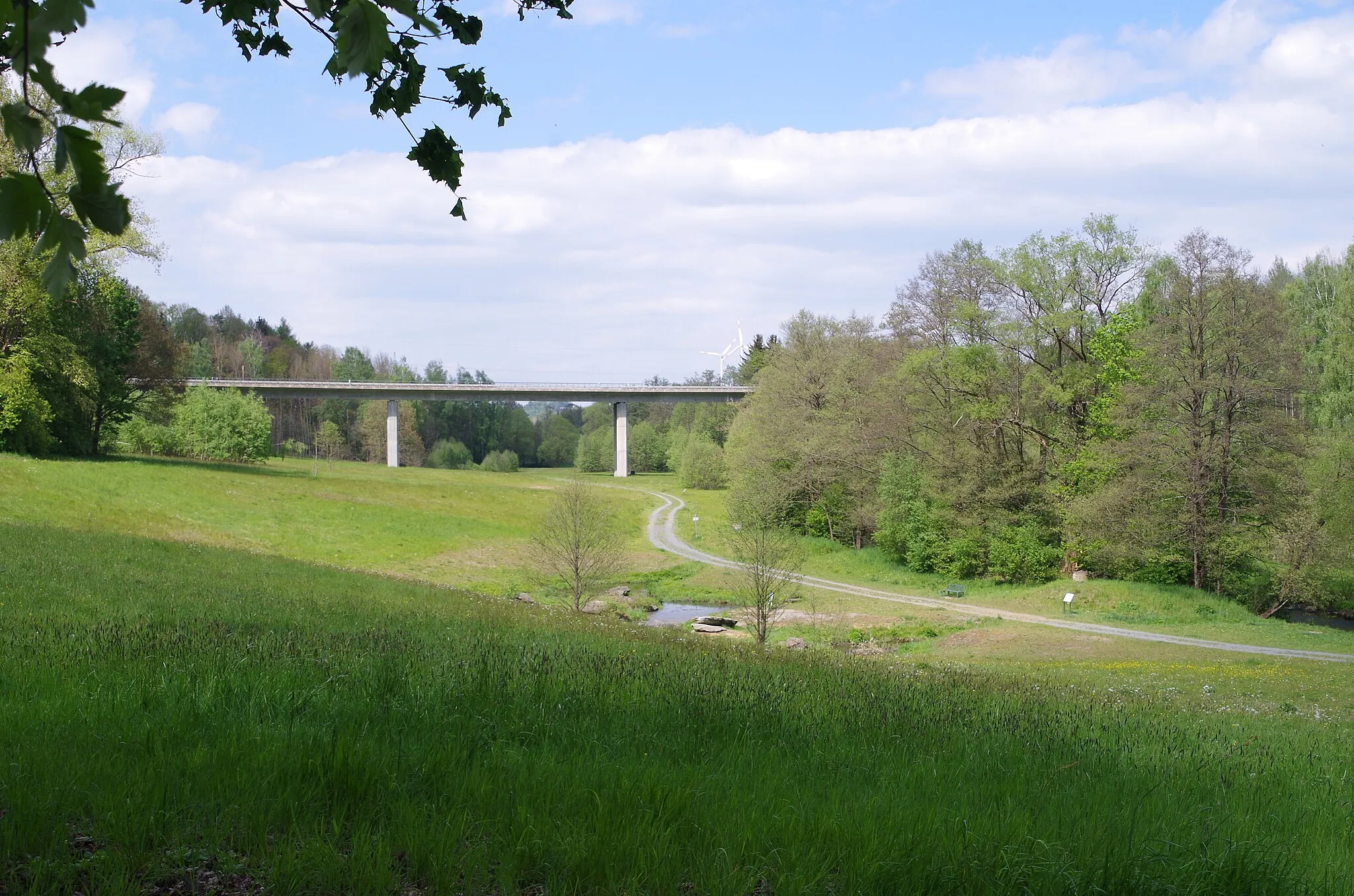
Schneidberg759 mPeakChallenge yourself with the ascent to Schneidberg and enjoy panoramic views as your reward.
50 km
50 km
NordhalbenTownExperience the beauty of Nordhalben, a small town surrounded by impressive natural landscapes.
52 km
52 km
Kamm610 mPeakConquer the challenging Kamm and mark a milestone in your gravel cycling journey.
62 km
62 km
MarienbergViewpointTake a moment to appreciate the breathtaking views from Marienberg, an elevated spot that offers panoramic vistas.
77 km
77 km
BergVillageExperience the thrill of climbing the challenging Berg and test your endurance.
92 km
92 km
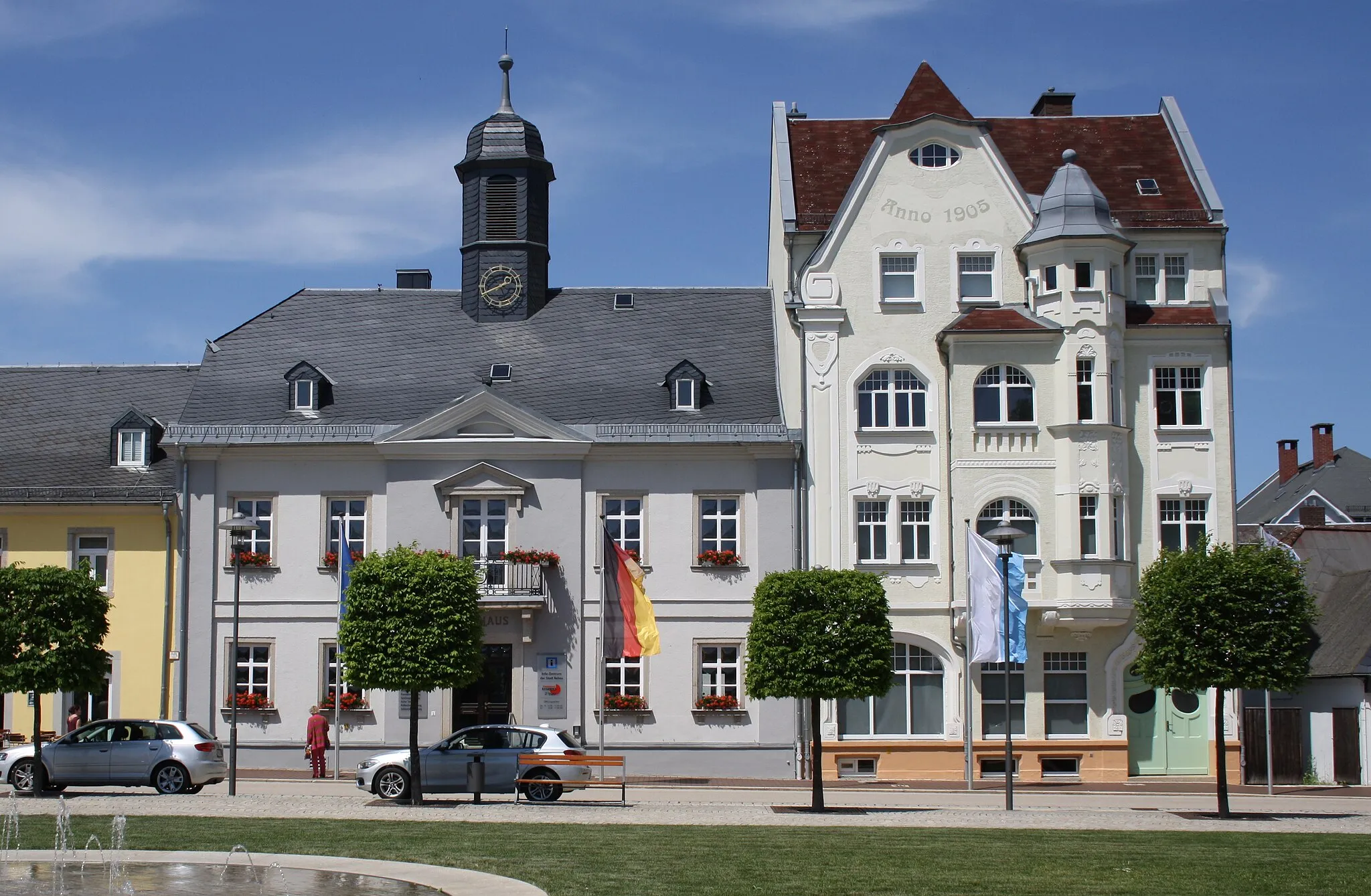
HofTownConclude your adventure in Hof and explore the city's vibrant cultural scene.
99 km
99 km
Finish: Döhlau Village centerDöhlau: Serene Gravel Cycling Haven
Cycling routes nearby: