Outdoor bliss for road and gravel cyclists.
Cycling routes from Schoenwald
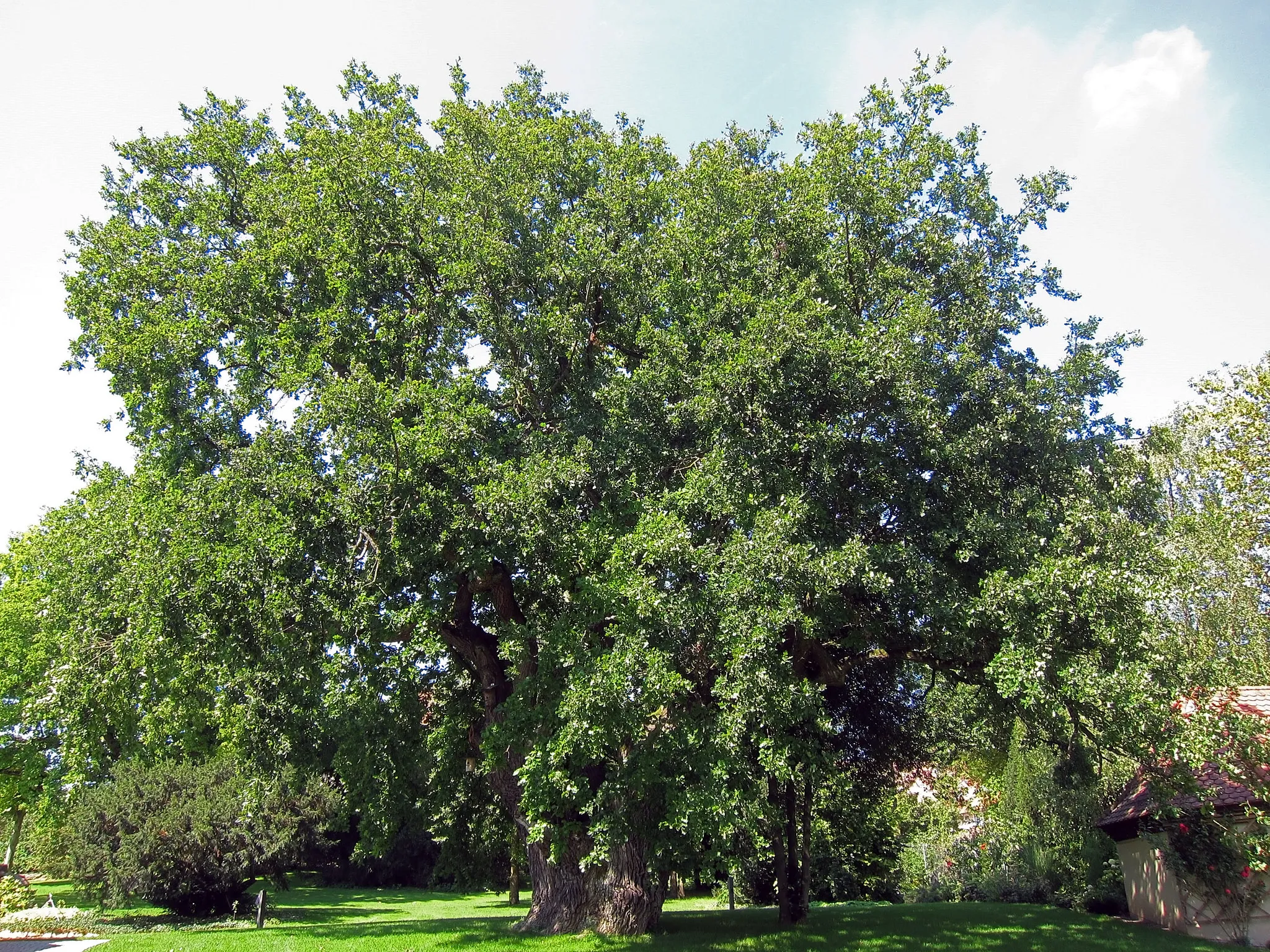
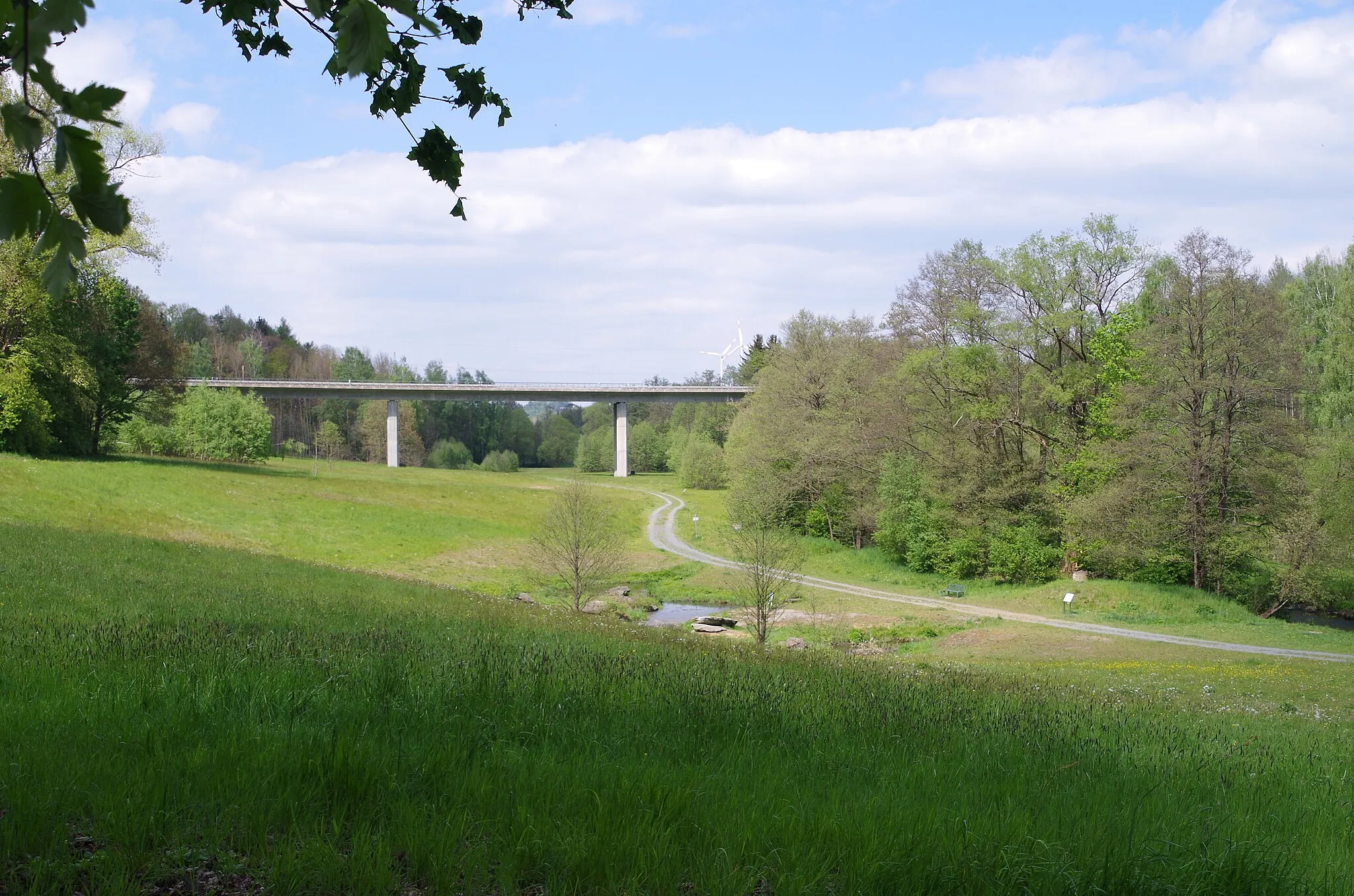
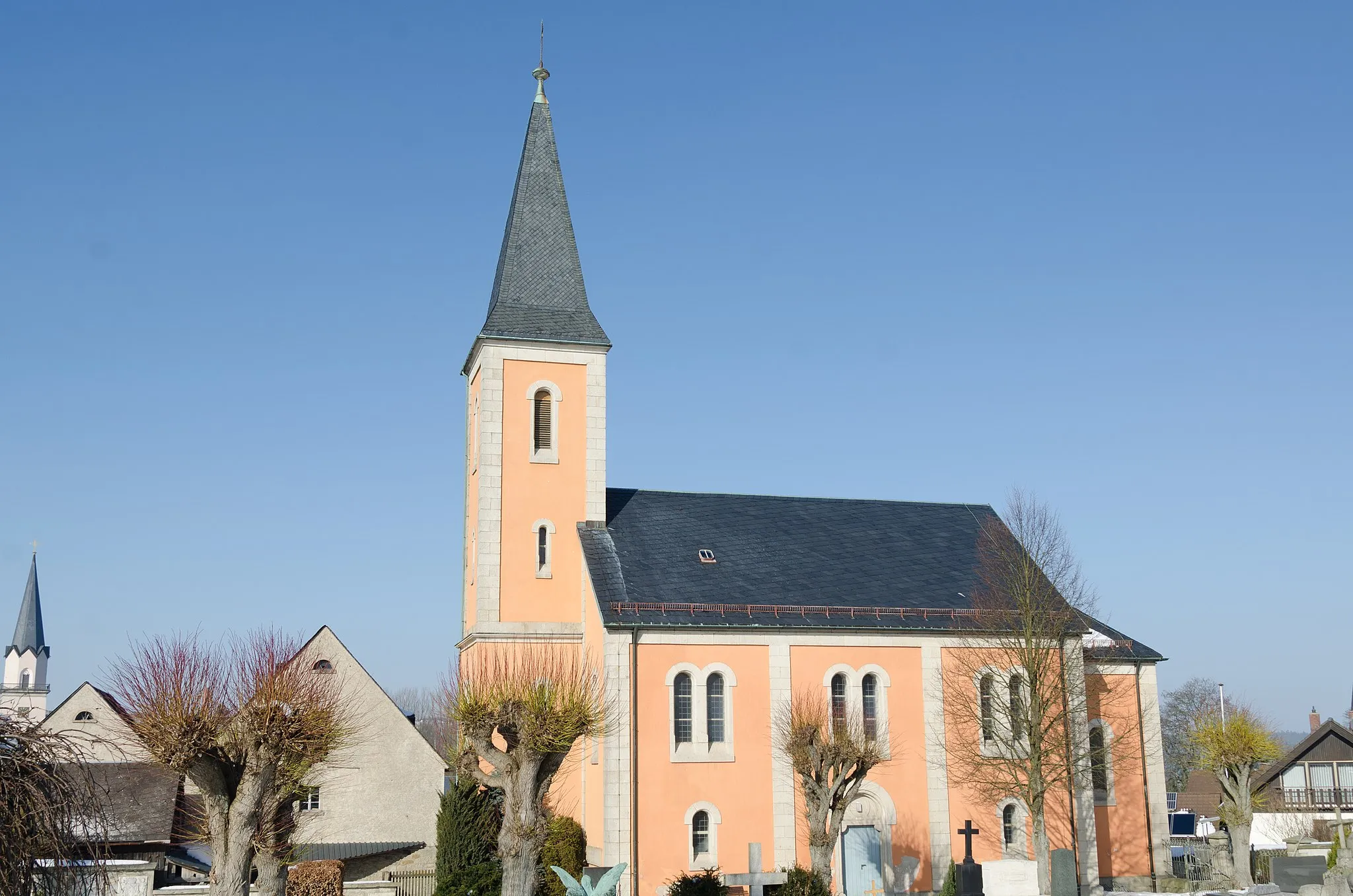
Schönwald, located in Oberfranken, Germany, is a cyclist's paradise nestled amidst beautiful natural surroundings. The locality offers a mix of road and gravel cycling routes that meander through verdant forests and picturesque countryside. Schönwald is particularly renowned for the famous Schönwald Climb, a challenging ascent that attracts cyclists from near and far. With its scenic landscapes and cycling-friendly infrastructure, Schönwald is an excellent destination for both road cyclists seeking challenging climbs and gravel cyclists wanting to explore the region's hidden gems.
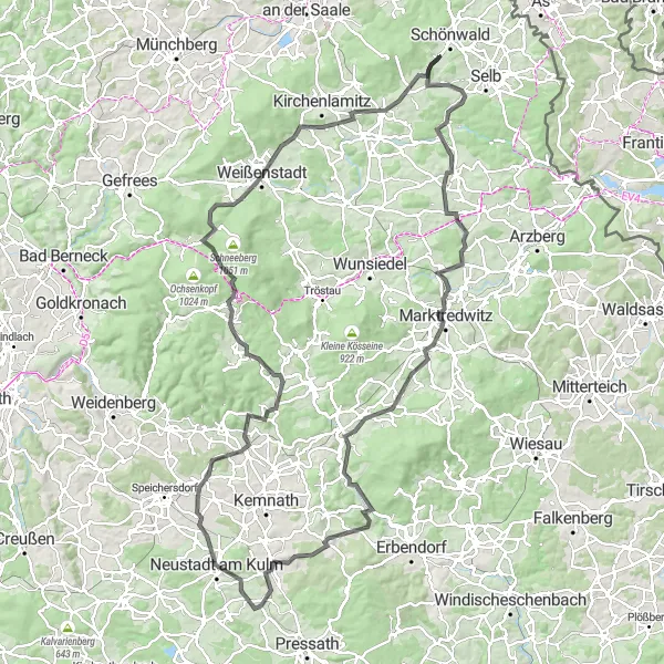
Embark on a legendary cycling journey through the stunning landscapes of the Franconian Forest
Prepare for the ultimate challenge through the magnificent Franconian Forest. With 1838 meters of ascent and a distance of 135 kilometers, this route is designed for experienced cyclists seeking a legendary adventure. With an epicness rating of 5, this route promises unforgettable moments and jaw-dropping scenery. Highlights include Marktredwitz, a vibrant town offering cultural delights and historical landmarks, Rauher Kulm, a majestic mountain with sweeping views, and Neustadt am Kulm, a charming town known for its picturesque streets and Franconian charm.
The Hilly Challenge
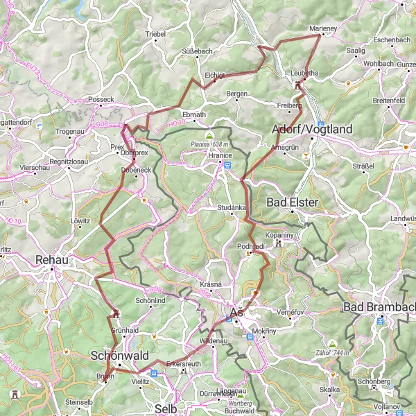
Conquer the hilly terrain of the Franconian Forest and enjoy cultural highlights along the way
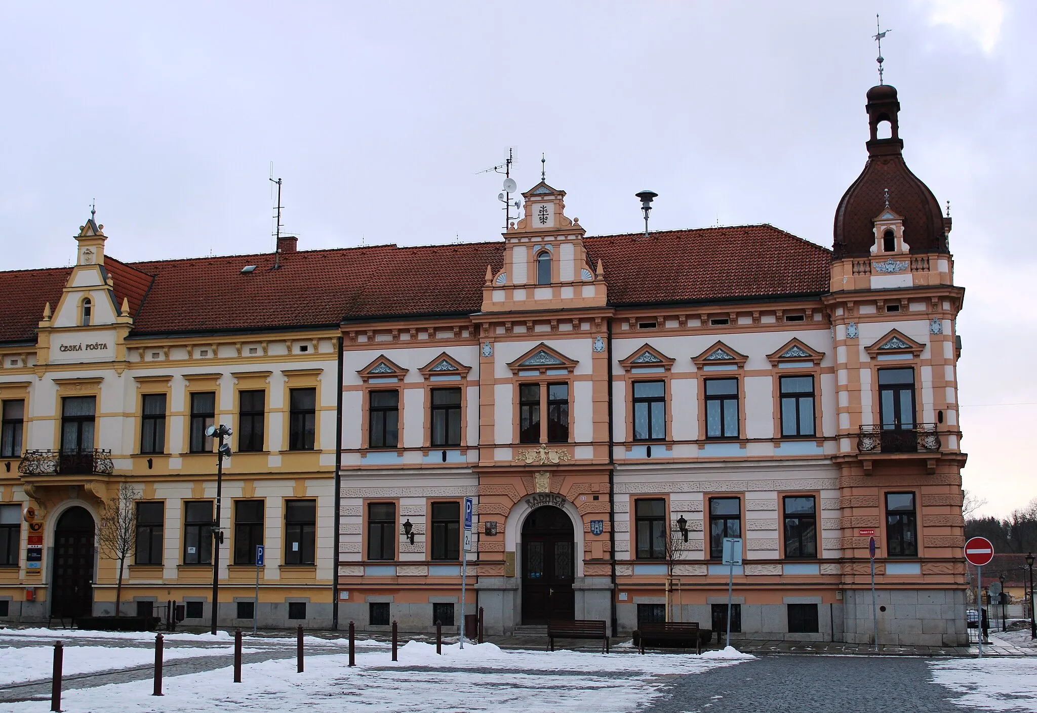
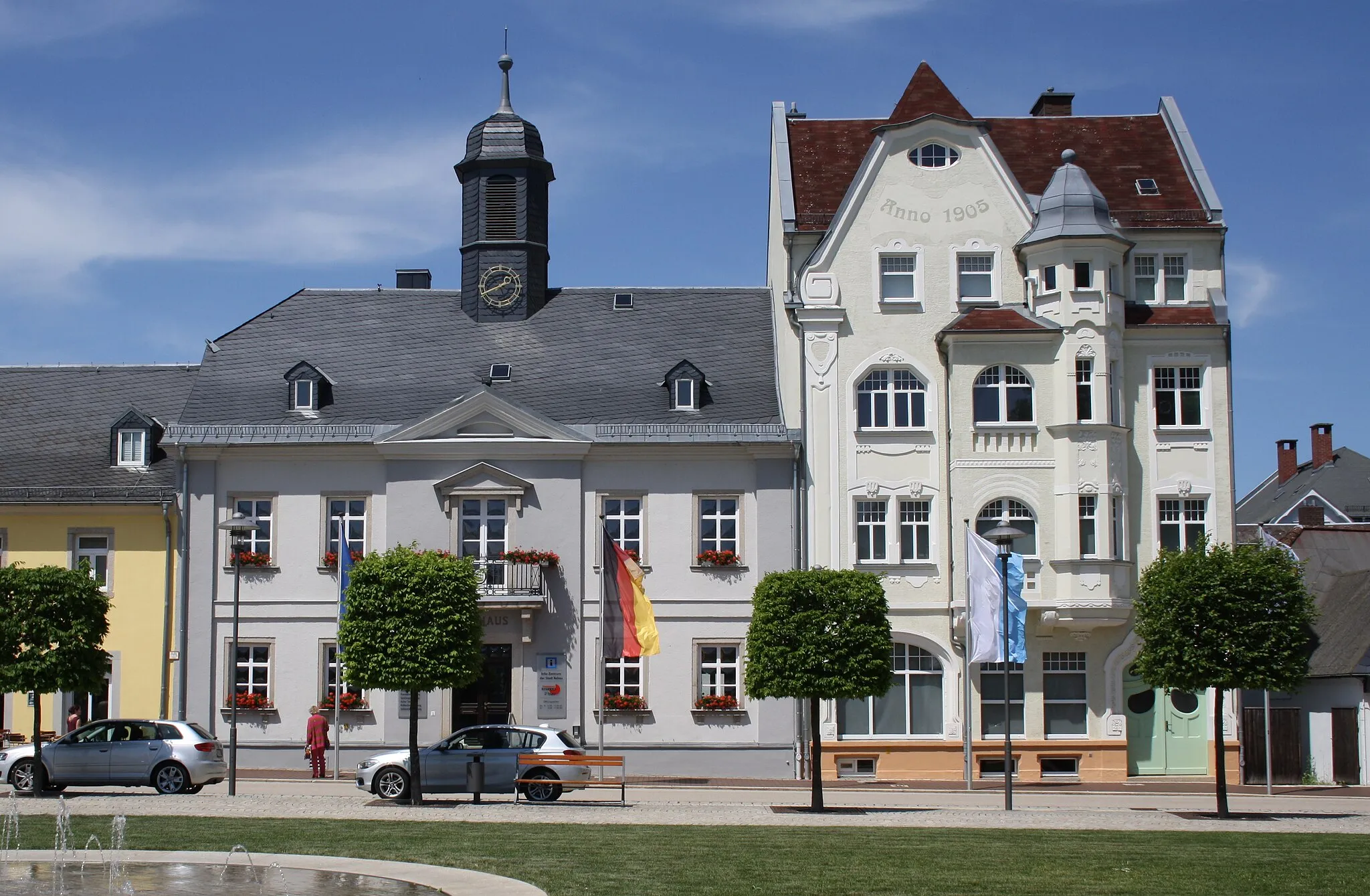
Prepare yourself for a challenging ride through the hilly terrain of the Franconian Forest. With 1285 meters of ascent and a distance of 71 kilometers, this route is perfect for experienced cyclists looking for a physical and mental challenge. Rated as an epicness of 3, this route promises scenic beauty and engaging cycling. Highlights of this route include Schönwald, a charming village with beautiful countryside views, Eichigt, a picturesque village known for its traditional Franconian architecture and peaceful atmosphere, and Muzeum Aš, a museum that offers insights into the region's rich history and culture.
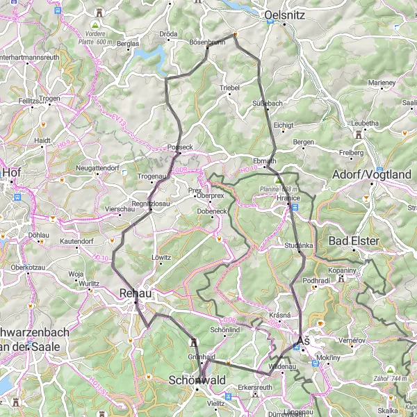
Exploring Aš Gravel Adventure

Embark on an exciting gravel adventure exploring the outskirts of Aš.
Experience the thrill of gravel cycling as you explore the outskirts of Aš. This adventure starts from Schönwald and takes you on a route covering 86 kilometers with an ascent of 971 meters. Prepare for diverse terrain, scenic landscapes, and plenty of opportunities for exploration.
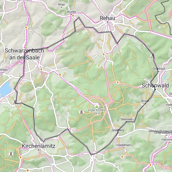
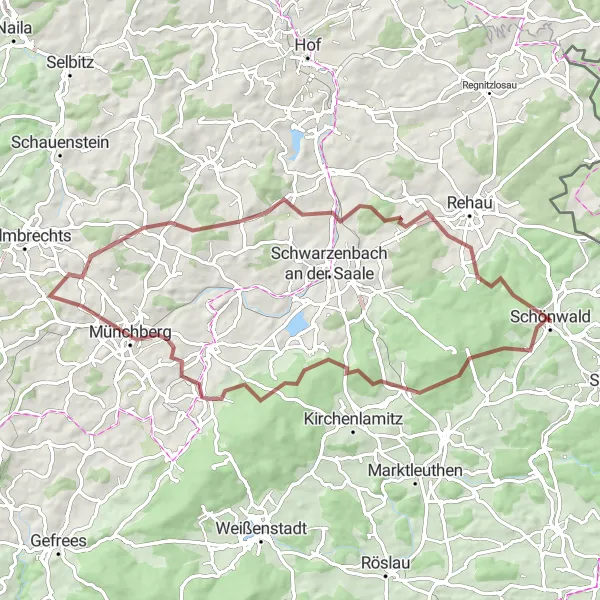
A scenic road cycling route with 571m of ascent over 43km
Experience the beauty of the Saale Valley with this scenic road cycling route. With 571m of ascent over 43km, this route is perfect for cyclists of all levels. Highlights along the way include the picturesque Wellersberg, the historic Kirchenlamitz, and the charming Schwarzenbach an der Saale. Overall, the Saale Valley Ride offers a mix of stunning scenery and interesting landmarks, making it a great choice for a leisurely day out on the bike.
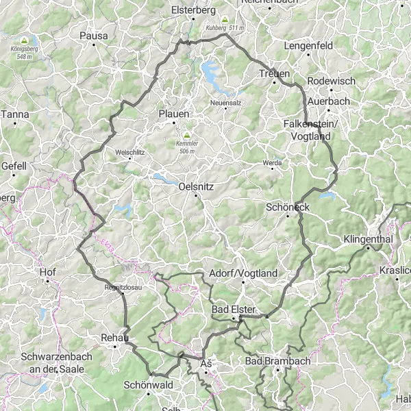
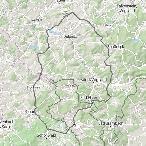
A challenging road cycling route with 2131m of ascent over 137km
Take on the Vogtland Challenge, a demanding road cycling route that pushes your limits. With 2131m of ascent over 137km, this route is not for the faint of heart. Highlights along the way include the historic town of Regnitzlosau, the scenic Wachthübel, and the picturesque village of Treuen. Overall, the Vogtland Challenge offers a thrilling experience for experienced cyclists looking for a tough and rewarding ride.
Embark on an epic road adventure through the enchanting Bavarian hills.
Experience the winding roads and scenic landscapes of the Bavarian hills on this road cycling adventure. Starting from Schönwald, the route covers a distance of 94 kilometers with an ascent of 1647 meters. Get ready for challenging climbs, thrilling descents, and breathtaking vistas.
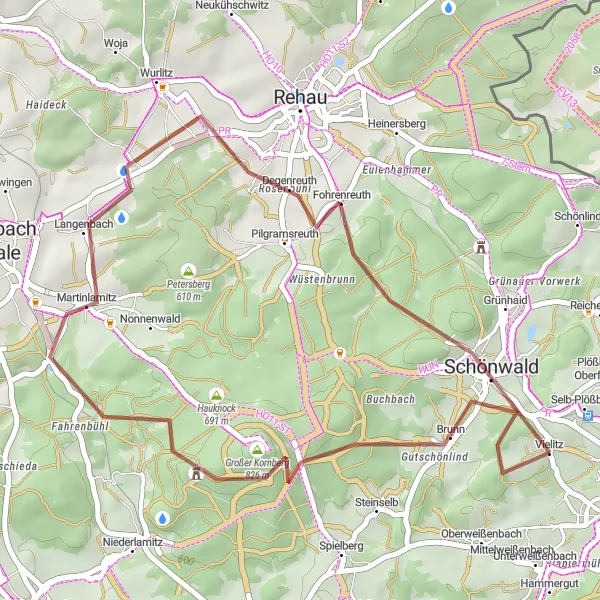
Silberbach Loop

A scenic road cycling route with 1102m of ascent over 70km
The Silberbach Loop is a beautiful road cycling route that takes you through the stunning countryside near Schönwald. With a total ascent of 1102m over 70km, this route is challenging yet rewarding. Along the way, you'll pass highlights such as the picturesque Silberbach, the historic Kleiner Hengstberg, and the impressive 24-Örter-Stein. Overall, this route offers a great mix of scenic views and interesting sights.
Conquer challenging gravel roads and enjoy the scenic beauty of the Franconian Forest
Get ready for an adrenaline-inducing gravel adventure through the stunning Franconian Forest. With 1090 meters of ascent and a distance of 68 kilometers, this route is suitable for experienced cyclists who seek a challenge. With an epicness rating of 4, expect to be awed by the breathtaking scenery and rugged terrain along the way. Highlights of this route include Brunn, a picturesque village nestled in the forest, Sparneck Castle, a medieval fortress with panoramic views, and Wüstenbrunn, a quiet village known for its charming atmosphere and traditional architecture.
The Forest and Castle Loop
Discover the enchanting forests and historic castles of Oberfranken on this scenic cycling route.
Embark on a picturesque cycling adventure through the beautiful landscapes of Oberfranken. This moderately challenging route takes you on a round-trip starting near Schönwald and combines stunning natural scenery with fascinating historical landmarks. With a distance of 35 kilometers and an ascent of 683 meters, it promises a rewarding experience for both road and gravel biking enthusiasts. Enjoy the tranquility of the forests, soak in breathtaking views from the hilltops, and explore the ruins of Hirschstein Castle. Ride through the charming village of Fohrenreuth and conclude your journey in Schönwald, a hidden gem worth exploring.
Rehau Countryside Road Loop
Immerse yourself in the idyllic Rehau countryside on this captivating road loop.
This road cycling route takes you through the stunning landscapes of the Rehau countryside. Starting from Schönwald, the loop covers a distance of 66 kilometers with an ascent of 877 meters. Enjoy smooth roads, scenic vistas, and picturesque villages along the way.
Cycling routes nearby:


Nearby regions: