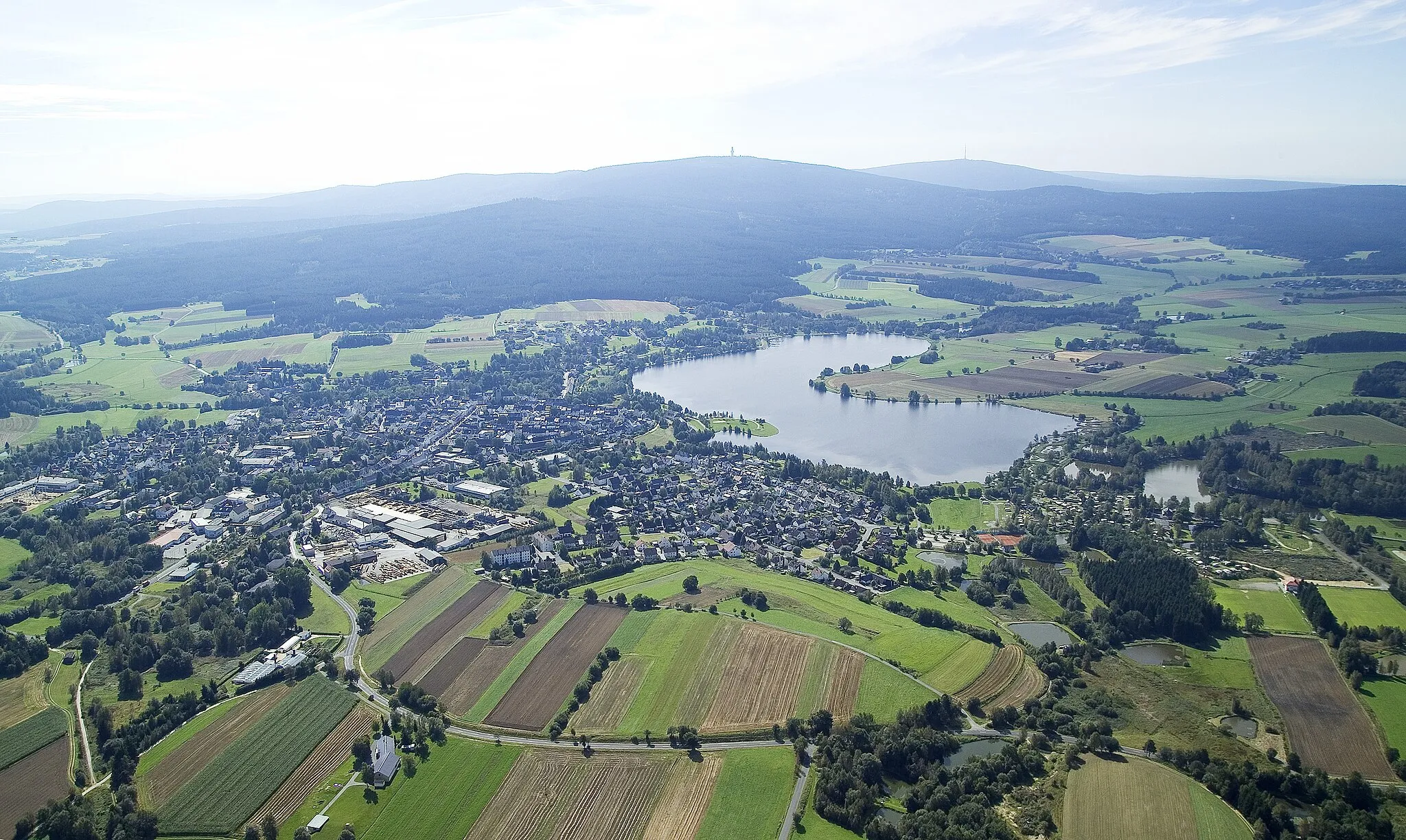
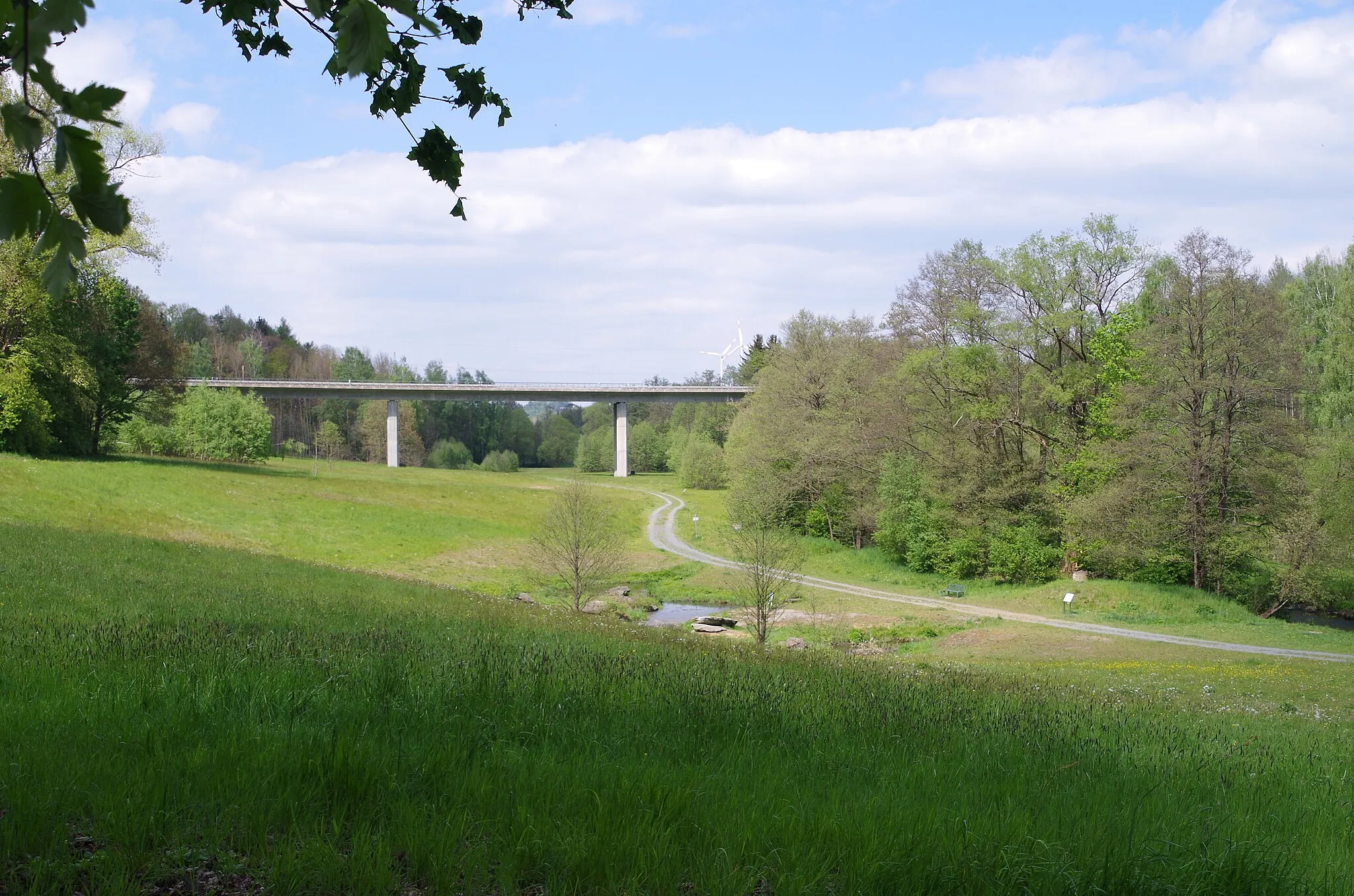
Scenic cycling paradise in Oberfranken, Germany.
Cycling routes from Marktleuthen
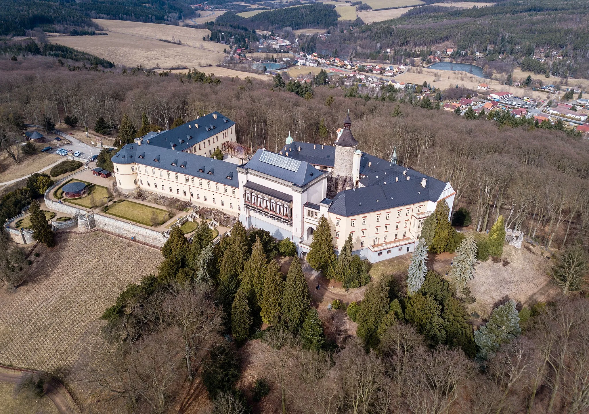
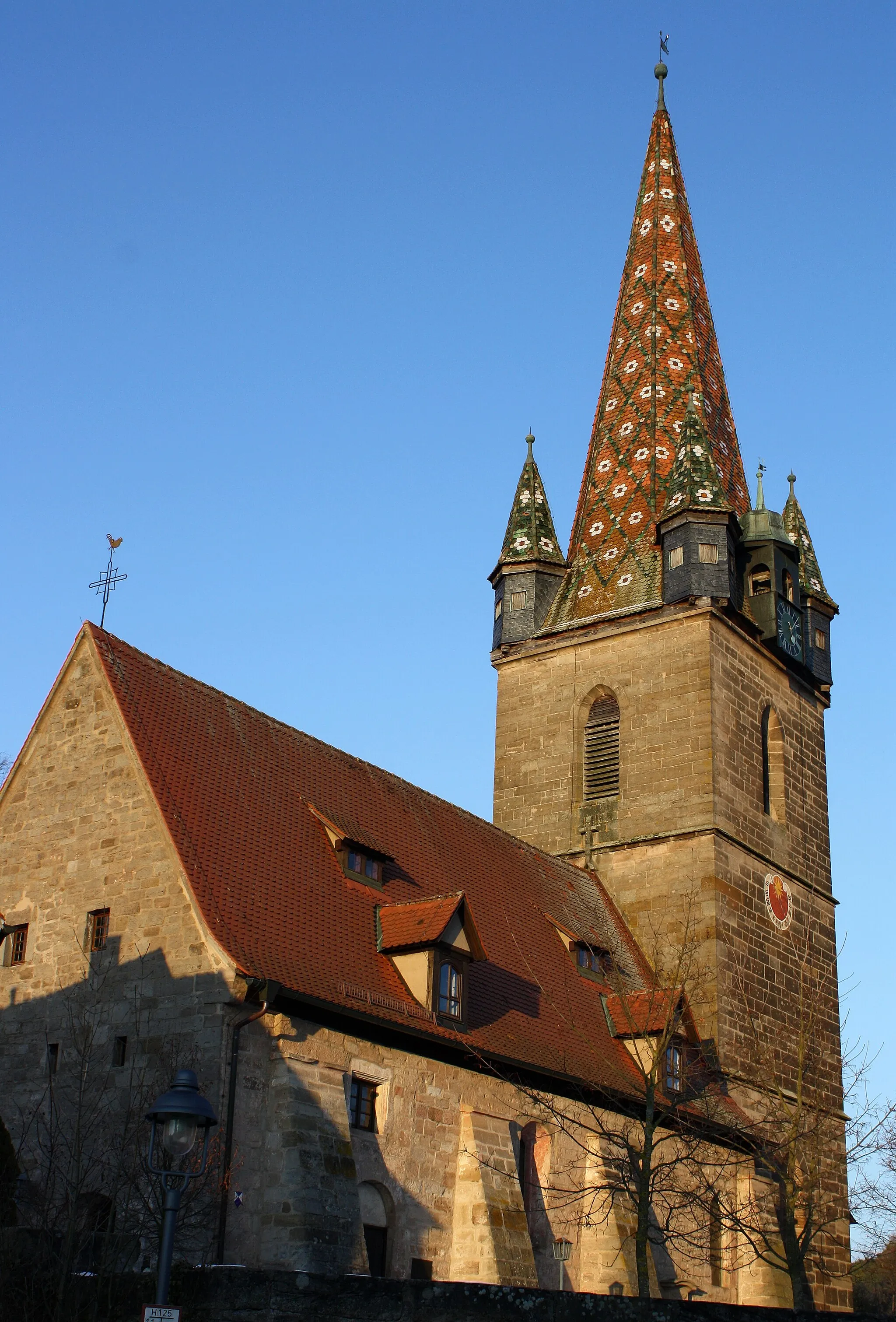
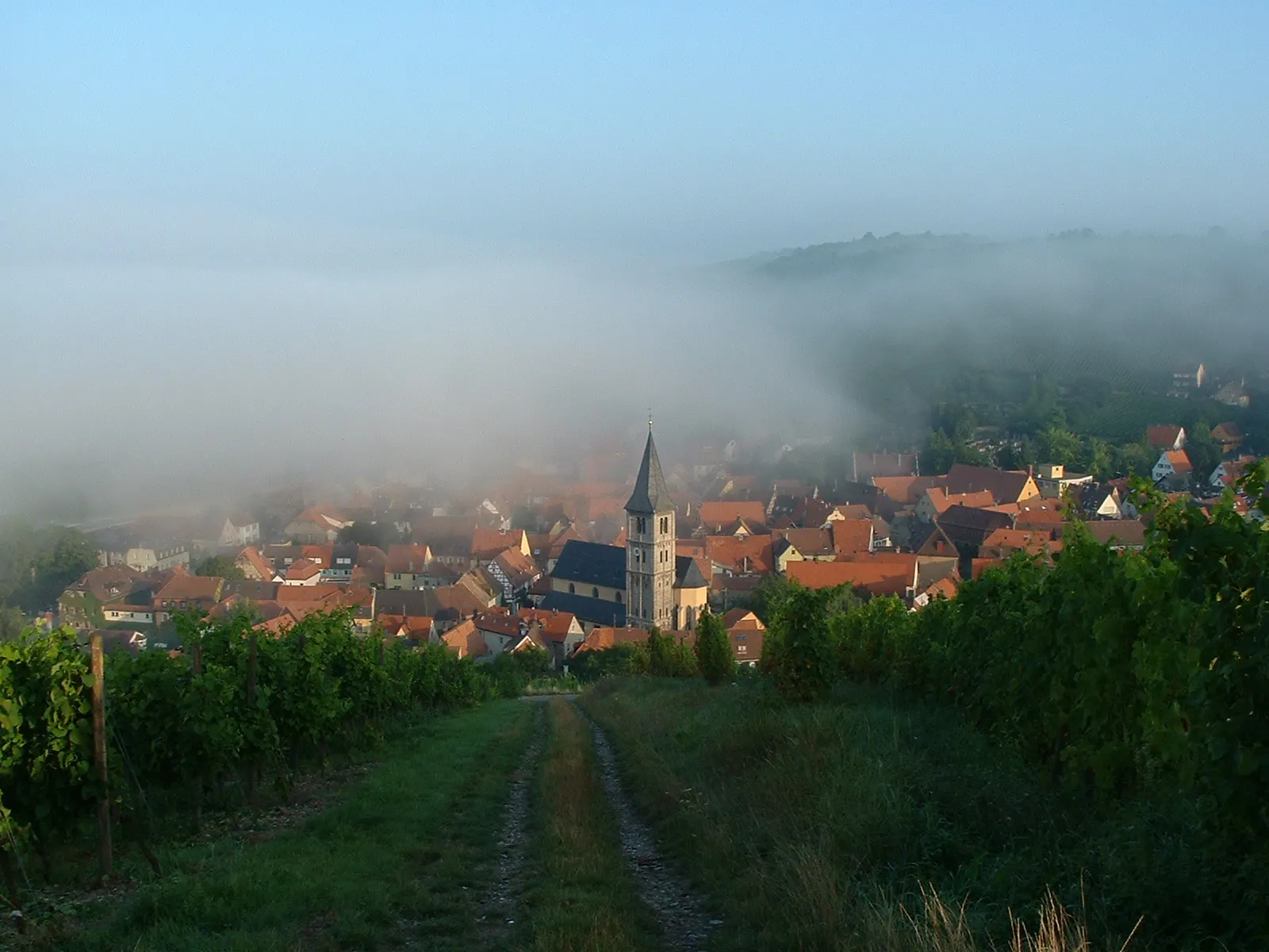
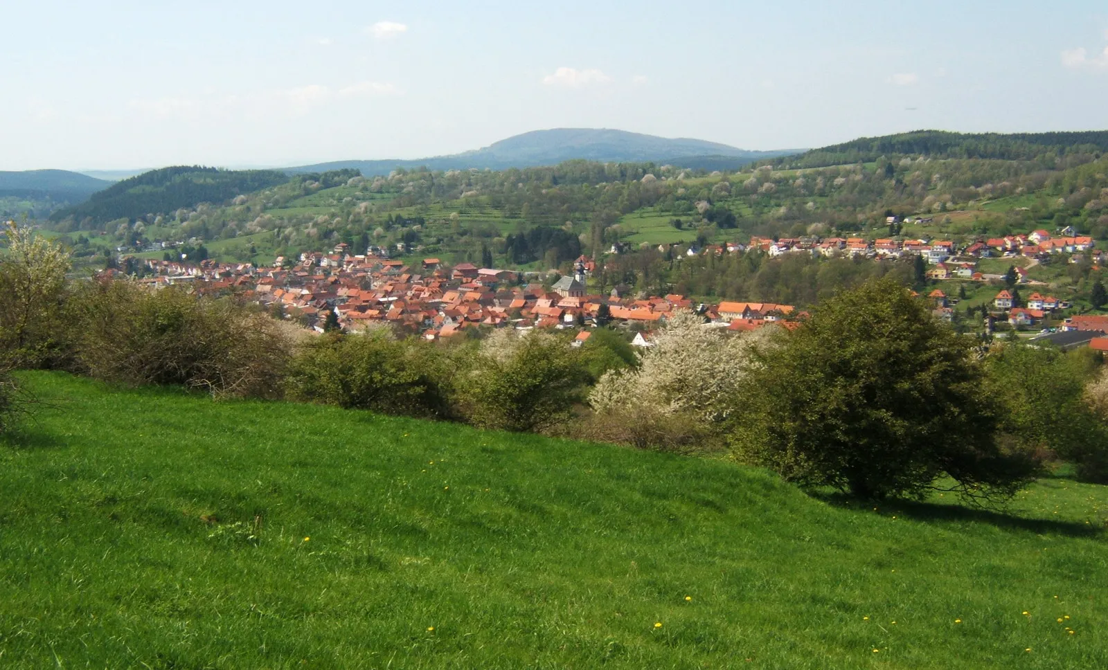
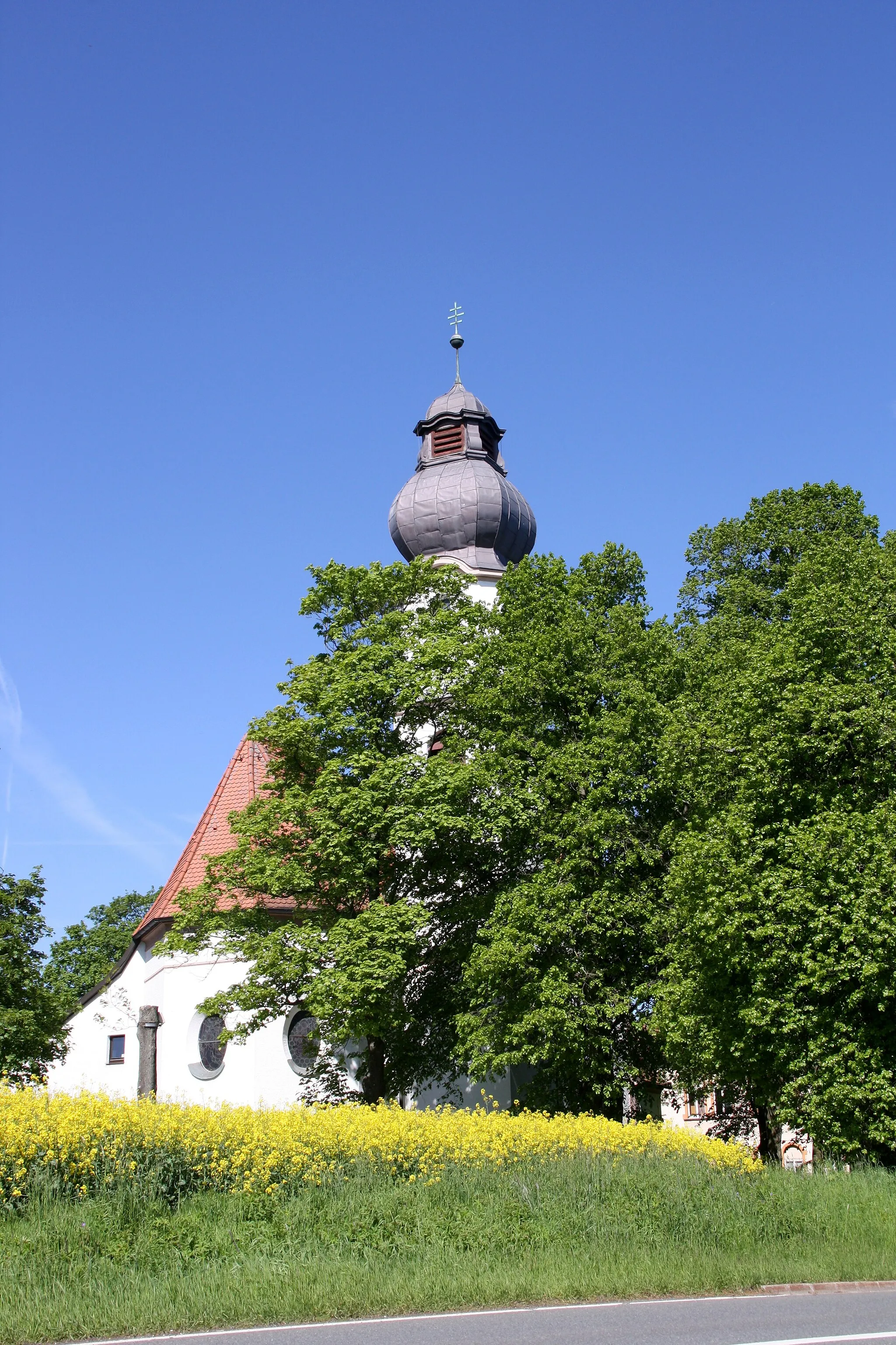
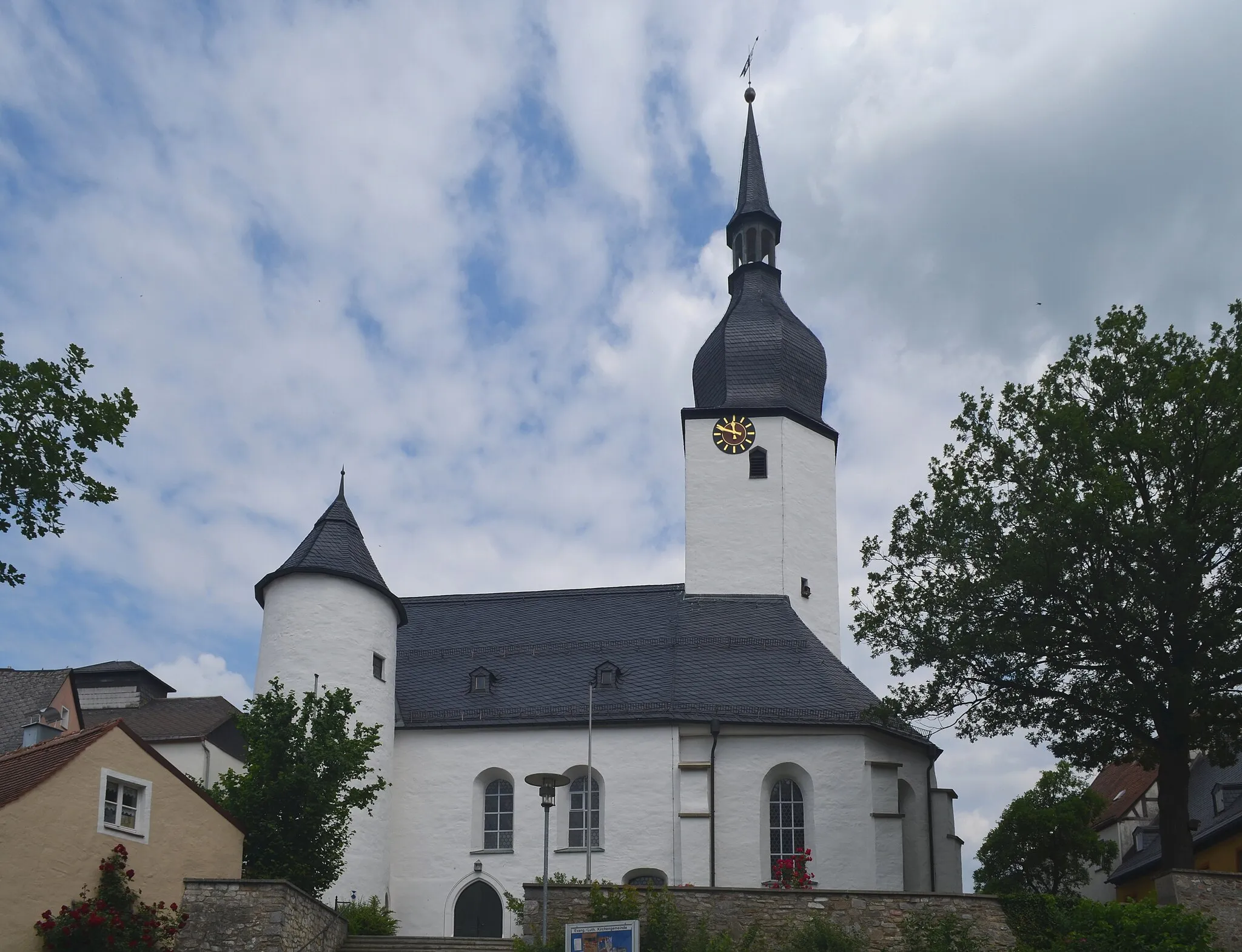
Marktleuthen is a locality in the Oberfranken region of Germany. As a road and gravel cyclist, you'll find plenty of scenic routes to explore in and around Marktleuthen. The locality is surrounded by lush greenery and offers challenging climbs for those seeking a thrilling cycling experience. The famous Ochsenkopf climb is located just a short distance away and is a must-visit spot for cycling enthusiasts. Marktleuthen itself has well-maintained roads and cycling paths that cater to cyclists of all levels. Whether you're a beginner or a seasoned rider, Marktleuthen has something to offer for everyone.
Discover the picturesque countryside on this gravel cycling route
The Wüstenbrunn Trail is a picturesque gravel cycling route with a total distance of 43 kilometers and an elevation gain of 697 meters. This scenic route takes you through Neudesberg, Wüstenbrunn, Mlýnský vrch, Plößberg in Oberfranken, Schwarzenhammer, and Mühlberg. Enjoy the beautiful landscapes and immerse yourself in the tranquil atmosphere of the Bavarian countryside.
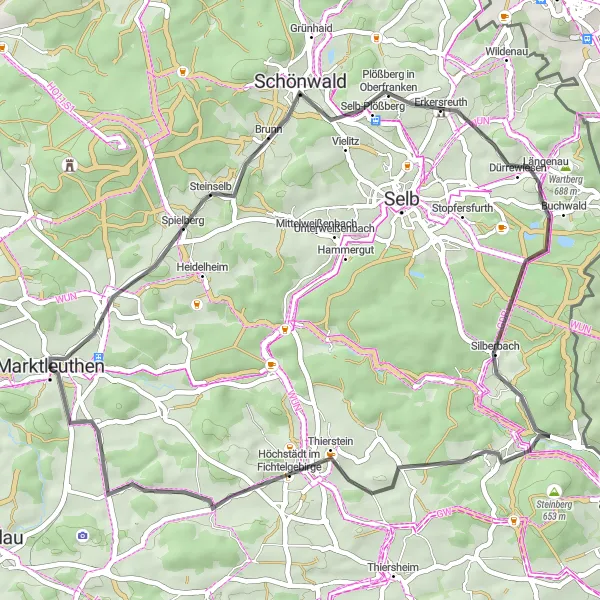
The Marktleuthen Adventure
Embark on an exciting road cycling journey starting from Marktleuthen
The Marktleuthen Adventure is a scenic road cycling route that takes you through picturesque landscapes and charming villages. With a total distance of 83 kilometers and an elevation gain of 1226 meters, this route offers a challenging and rewarding experience for cyclists. The highlights of the route include Marktleuthen itself, Hohenberg an der Eger, Dietzenberg, Mitterteich, Weißenberg, and Bibersberg.

Embark on an epic gravel adventure near Marktleuthen
The Gravel Excursion is an epic gravel cycling route with a total distance of 87 kilometers and an elevation gain of 1837 meters. This challenging route takes you through beautiful landscapes and hidden gem towns. Highlights include Zwölfgipfelblick, Mehlmeisel, Schlosshügel, Hirschhorn, Glasermühle, and the Schanze. Get ready for an unforgettable gravel adventure in Oberfranken!
Experience the beauty of Galgenberg on this gravel cycling route
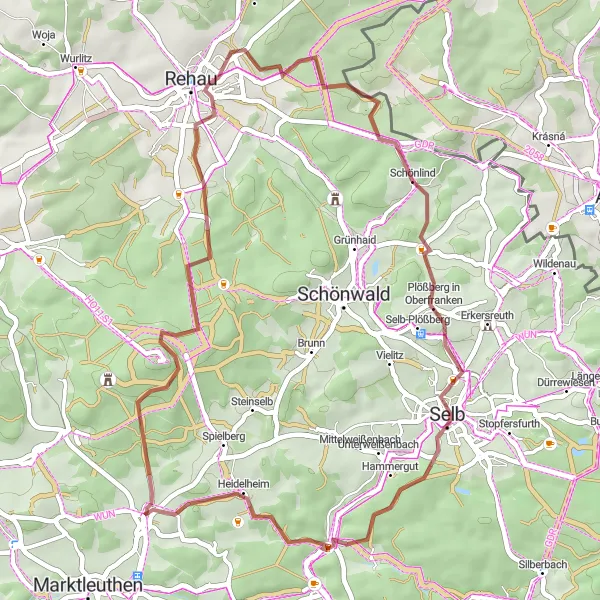
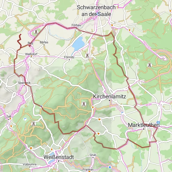
Join this scenic gravel cycling route that starts from Marktleuthen and takes you through the charming village of Galgenberg. With a total distance of 53 kilometers and an elevation gain of 691 meters, this route offers picturesque landscapes and cultural attractions. Highlights include Galgenberg, Kirchenlamitz, Schwarzenbach an der Saale, Tauperlitz, Wüstenbrunn, Steinhölle, and Großwendern.
Country Roads Adventure
Embark on a scenic road cycling journey through the picturesque countryside near Marktleuthen.
This 46 km road cycling route offers a scenic journey through the idyllic countryside near Marktleuthen. With its relatively moderate ascent of 680 meters, this route is suitable for cyclists of various fitness levels. Highlights include Plößberg in Oberfranken, Neuhaus an der Eger, and Bibersberg, where you can enjoy panoramic views. Whether you're looking for a leisurely ride or a challenging workout, this road route has something for everyone.
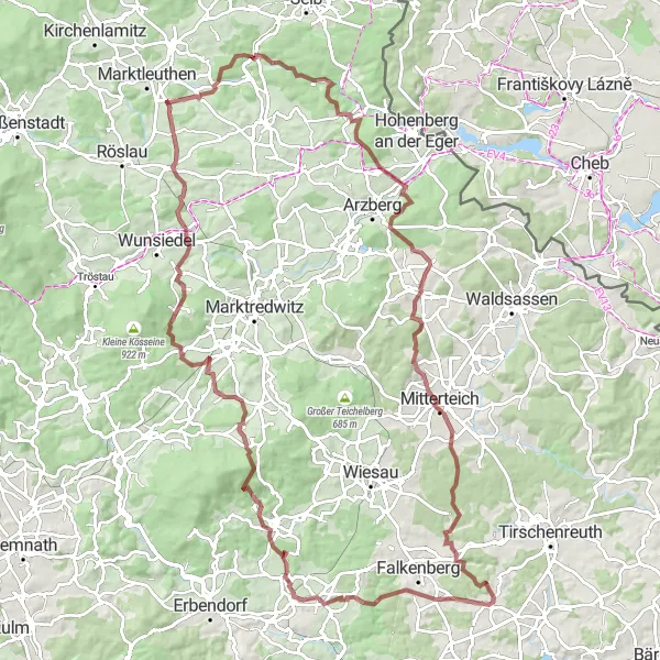
Explore the diverse landscapes and charming villages of the Marktleuthen region on this gravel cycling route.
This route takes you on a 111 km adventure through the Marktleuthen region, with a total ascent of 1814 meters. Experience the thrill of off-road cycling as you navigate gravel paths and enjoy the beautiful scenery along the way. The route includes highlights such as Bibersberg, Schwarzenhammer, Lindenberg, Streuleite, Mitterteich, Eichenberg, Reuth bei Erbendorf, and the historic Burgruine Weißenstein. With its mix of challenging terrain and stunning views, this gravel route is perfect for intermediate to advanced riders.
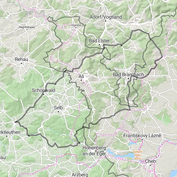
Embark on a challenging road cycling adventure through the hilly landscapes of the Marktleuthen region.
With a total ascent of 1482 meters, this 92 km road cycling route is not for the faint of heart. Traverse the hilly landscapes of the Marktleuthen region and experience the thrill of conquering challenging climbs. Highlights along the route include Neuhausen, Holländerei, Wernitzgrün, Vřesový vrch, Hahnenpfalz, and Polná. This route is suitable for experienced cyclists who enjoy a tough challenge and breathtaking views.
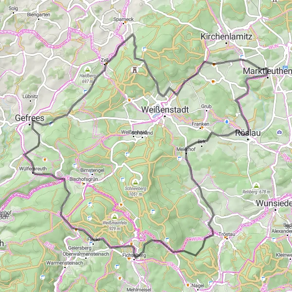
Experience the breathtaking views of Zwölfgipfelblick and explore the charming town of Röslau.
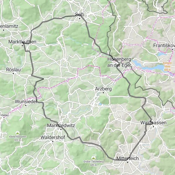
This road cycling route offers a challenging ascent of 1,276 meters over a distance of 74 kilometers. It starts near Marktleuthen and takes you through various highlights, including Zwölfgipfelblick, where you can enjoy panoramic views of the surrounding landscape. You'll also pass through the peaceful town of Röslau, known for its picturesque architecture and tranquil atmosphere. The route is suitable for experienced cyclists looking for a scenic and adventurous ride.

Discover the beauty of Schwarzenhammer on this road cycling route
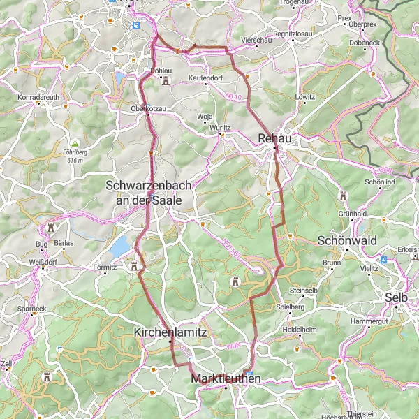
With a distance of 71 kilometers and an elevation gain of 820 meters, this road cycling route takes you through the charming village of Schwarzenhammer and its surroundings. Starting from Marktleuthen, you will pass through Wellersberg, Schwarzenbach an der Saale, Oberprex, Stráňka, Lauterbach, Schwarzenhammer, Mühlberg, and Galgenberg. Enjoy stunning views and explore the cultural heritage of the region.
Gravel Hilltops
Explore the scenic hilltops and charming villages near Marktleuthen on this gravel cycling route.
This 50 km gravel cycling route takes you on a thrilling adventure through the scenic hilltops near Marktleuthen. With an ascent of 863 meters, this route offers a challenging yet rewarding experience for intermediate cyclists. Highlights along the way include Buchberg, Kleinschloppen, Schöne Aussicht, Kleiner Kornberg, Hohenbuch, and Bibersberg. Immerse yourself in the stunning natural beauty of the region while enjoying the thrill of off-road cycling.
Cycling routes nearby:

Nearby regions: