The Marktleuthen Adventure
A road cycling route starting from Marktleuthen
Embark on an exciting road cycling journey starting from Marktleuthen
Map
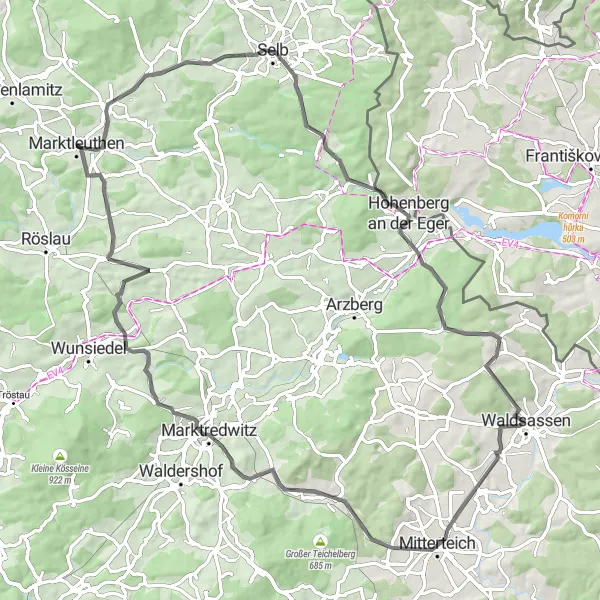
The Marktleuthen Adventure is a scenic road cycling route that takes you through picturesque landscapes and charming villages. With a total distance of 83 kilometers and an elevation gain of 1226 meters, this route offers a challenging and rewarding experience for cyclists. The highlights of the route include Marktleuthen itself, Hohenberg an der Eger, Dietzenberg, Mitterteich, Weißenberg, and Bibersberg.
road
83 km
1226 m
Tough
Route profile
Highlights on the route
0 km
0 km
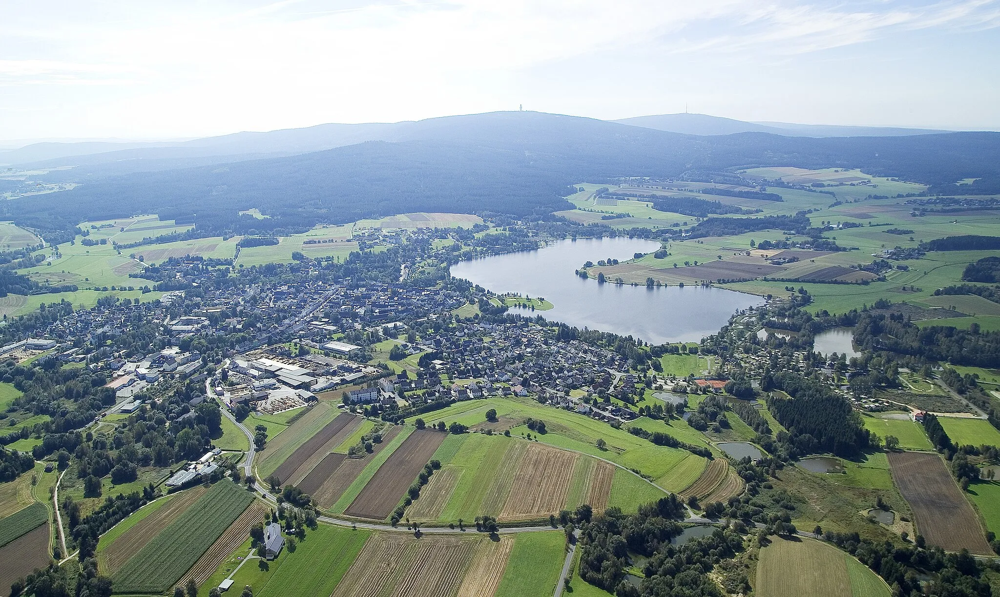
Start: Marktleuthen City centerMarktleuthen: Scenic cycling paradise in Oberfranken, Germany.
Marktleuthen is a locality in the Oberfranken region of Germany. As a road and gravel cyclist, you'll find plenty of scenic routes to explore in and around Marktleuthen. The locality is surrounded by lush greenery and offers challenging climbs for those seeking a thrilling cycling experience. The famous Ochsenkopf climb is located just a short distance away and is a must-visit spot for cycling enthusiasts. Marktleuthen itself has well-maintained roads and cycling paths that cater to cyclists of all levels. Whether you're a beginner or a seasoned rider, Marktleuthen has something to offer for everyone.0 km
0 km
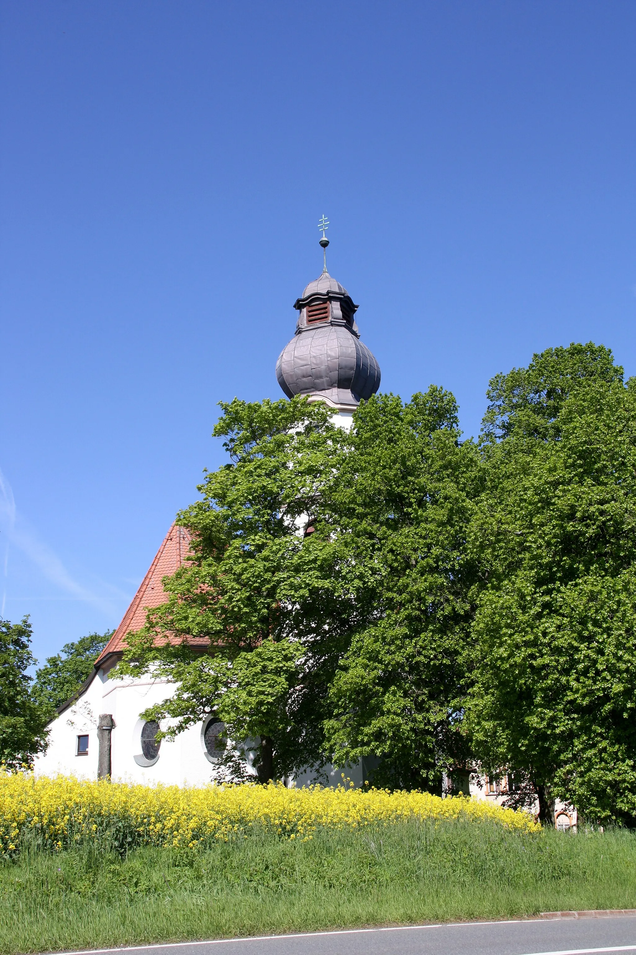
MarktleuthenTownMarktleuthen, the starting point of the route, is a small Bavarian town with a rich history and architectural beauty.
24 km
24 km
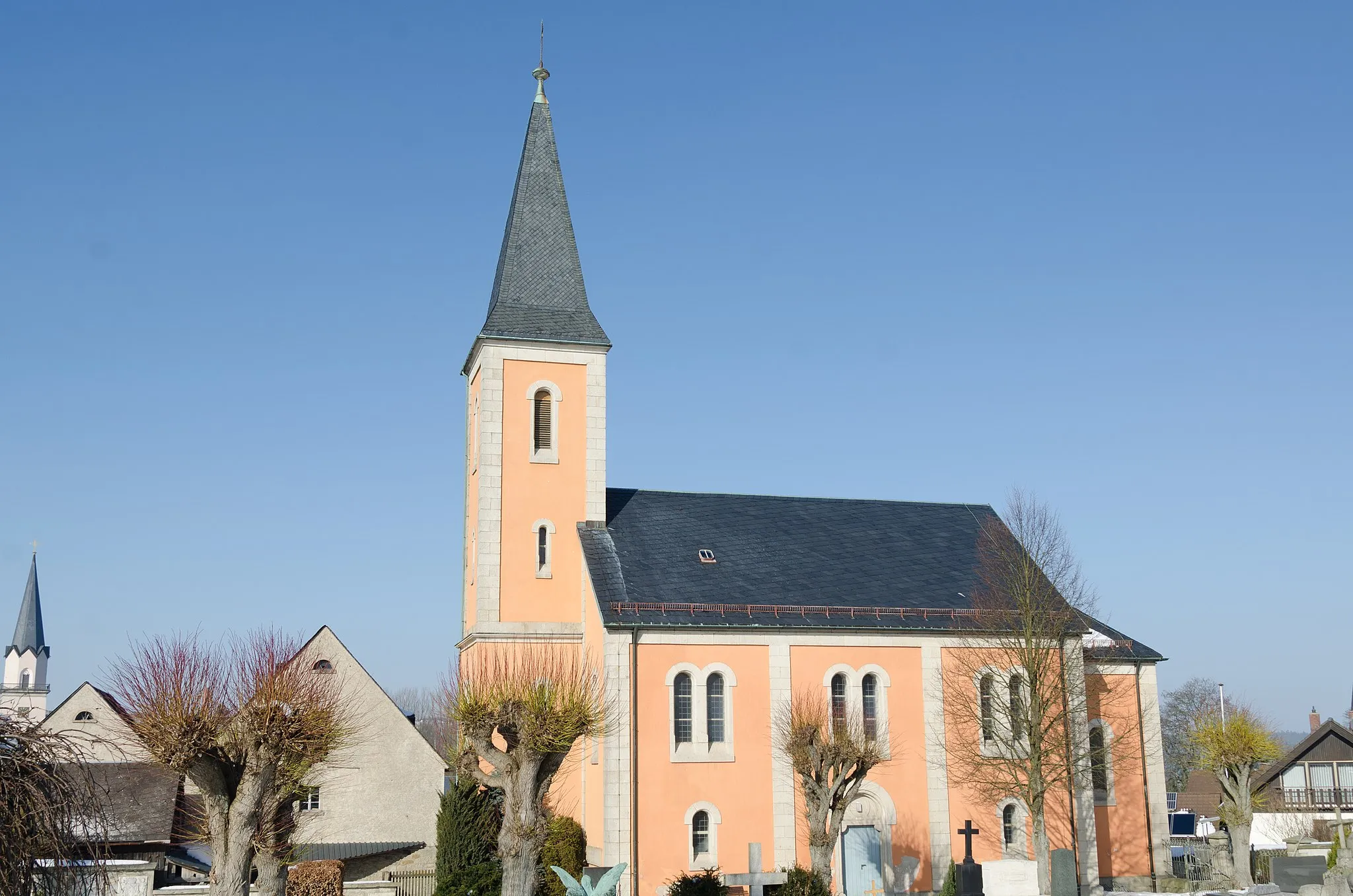
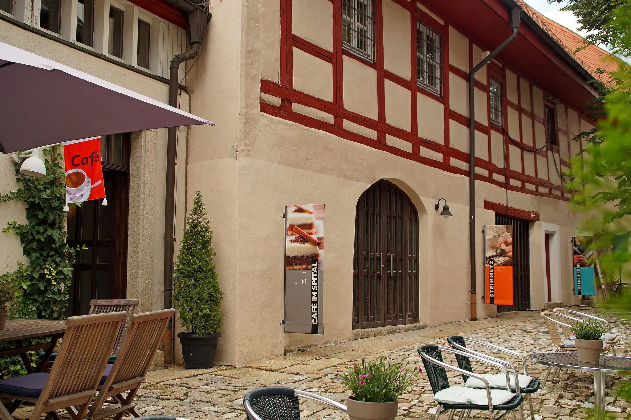
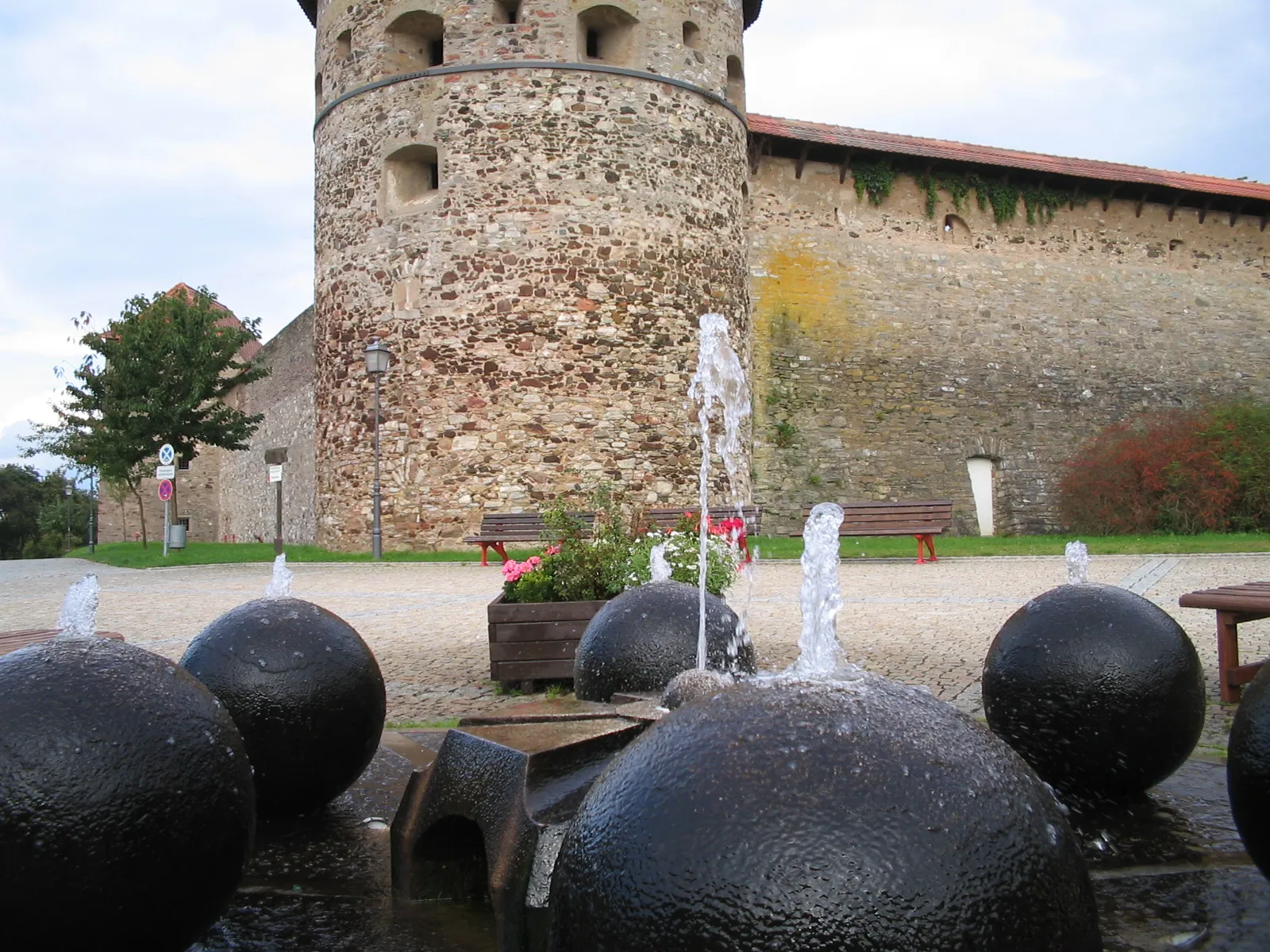
Hohenberg an der EgerTownHohenberg an der Eger is a scenic town located on the banks of the Eger river, offering splendid views and cultural attractions.
34 km
34 km
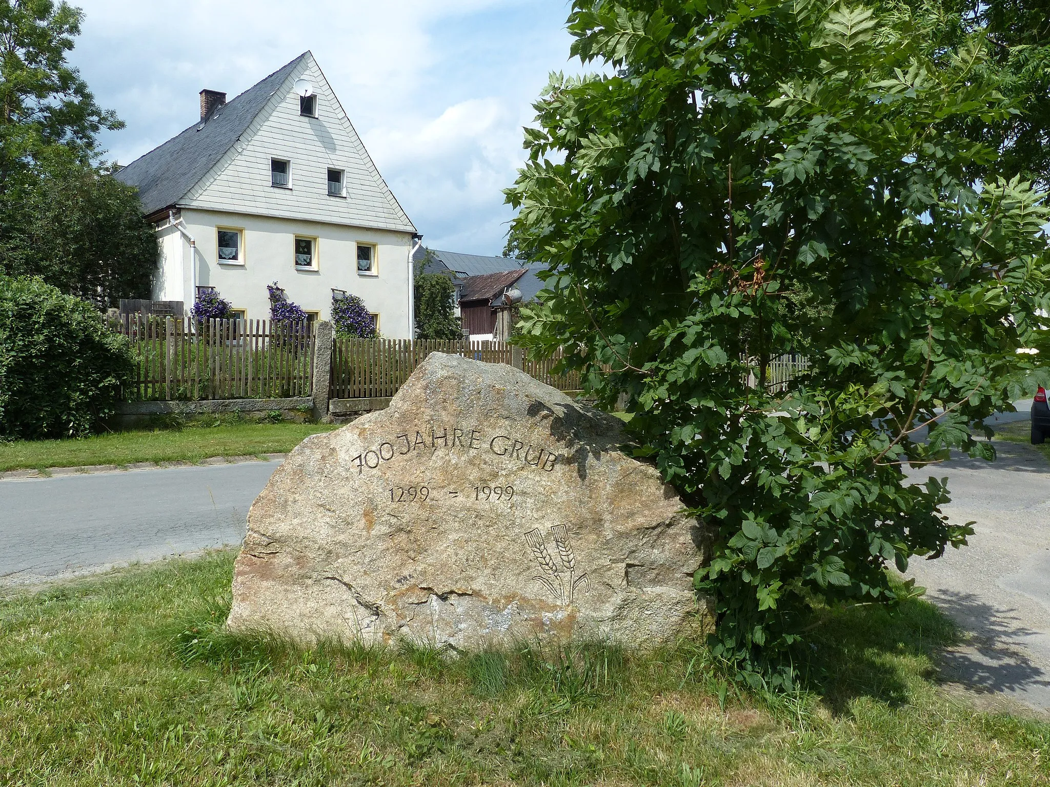
Dietzenberg626 mPeakDietzenberg is a charming village known for its traditional architecture and peaceful atmosphere.
47 km
47 km
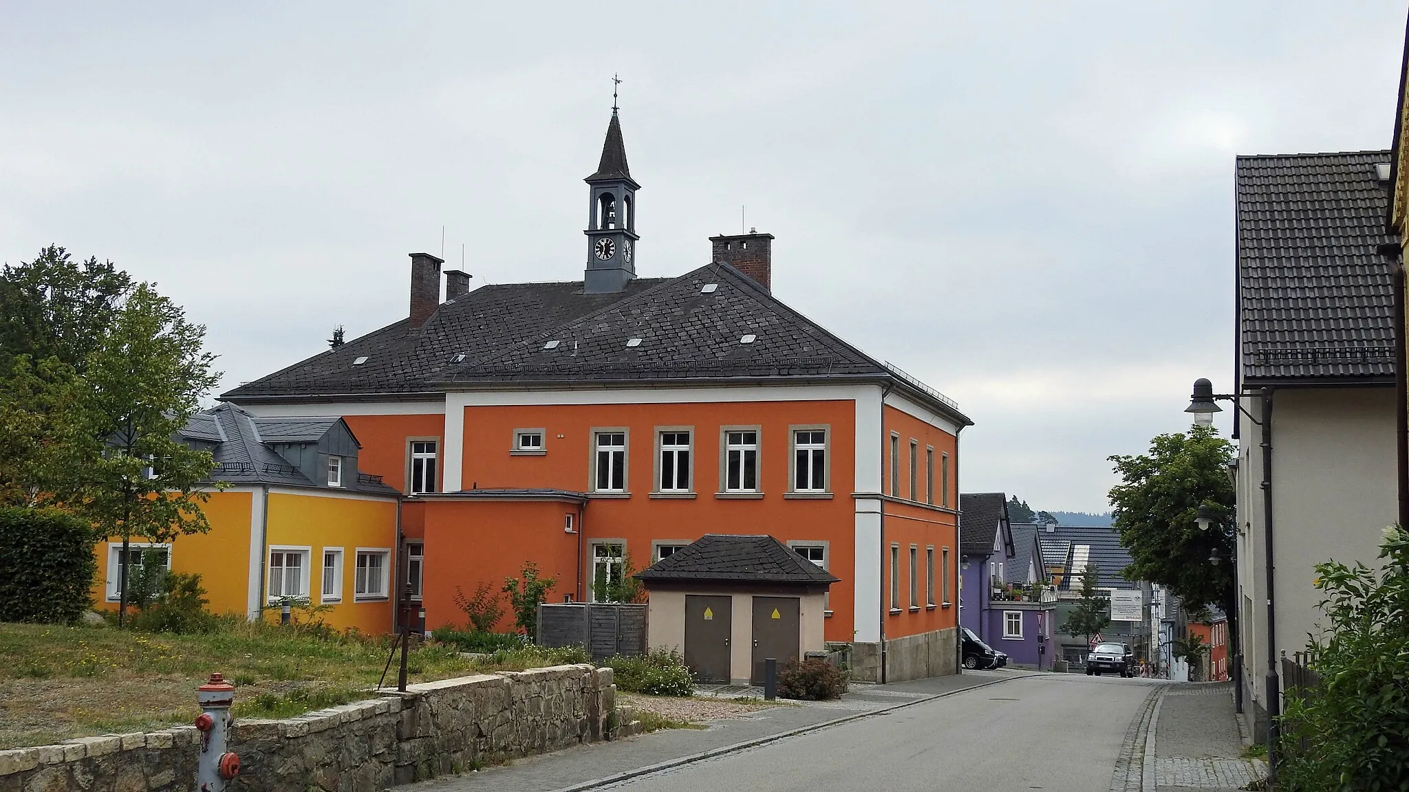
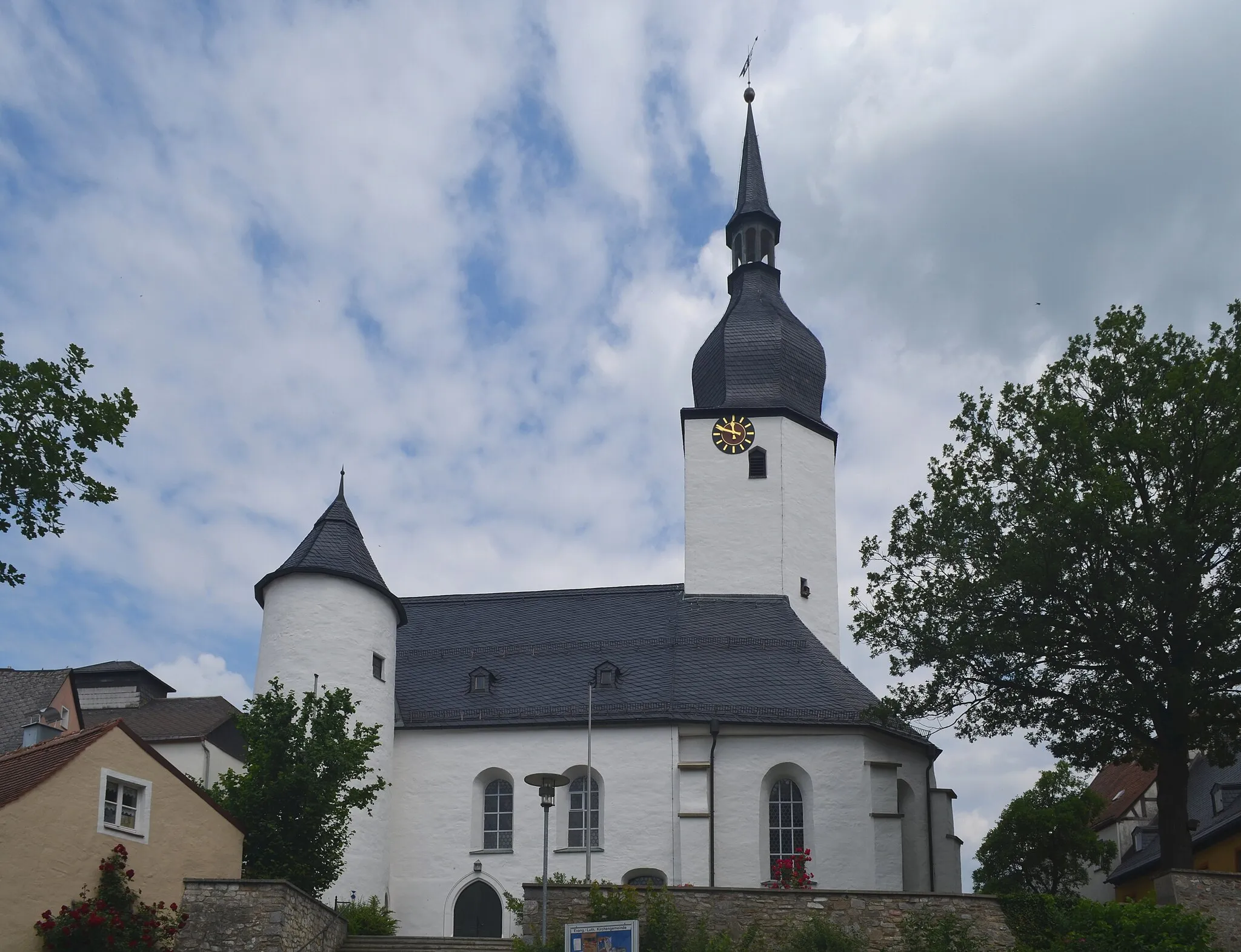
MitterteichTownMitterteich is a historical town famous for its porcelain manufacture and the beautiful Regnitzgrund landscape.
59 km
59 km
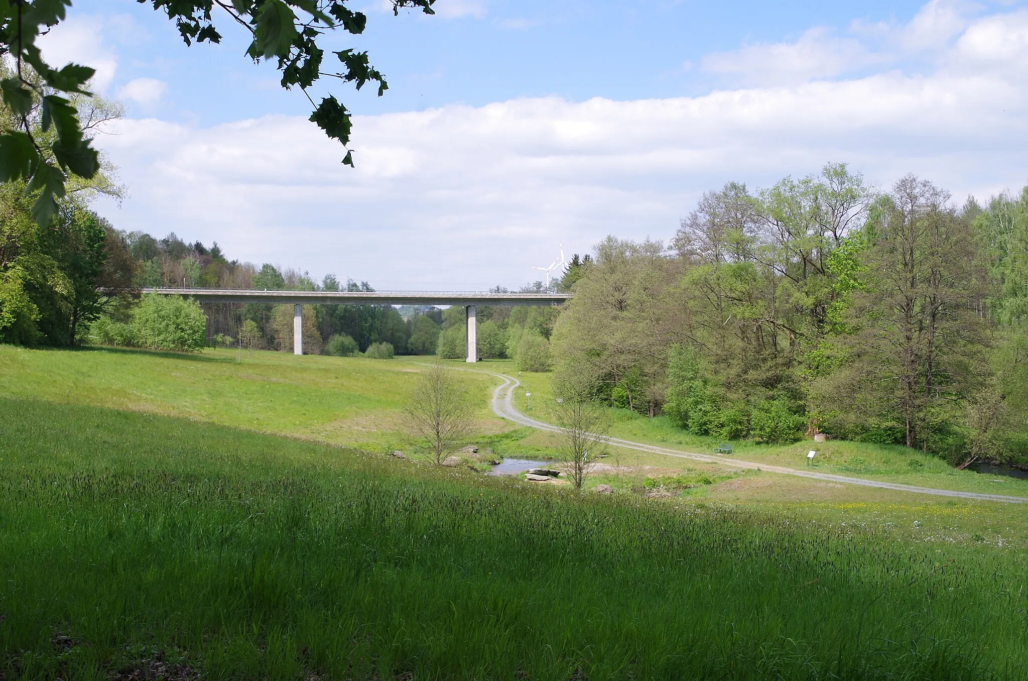
Weißenberg599 mPeakWeißenberg is a quiet village surrounded by meadows and forests, providing a peaceful and idyllic setting.
81 km
81 km
Bibersberg593 mPeakBibersberg offers panoramic views of the surrounding countryside and is a perfect spot for a scenic break.
83 km
83 km
Finish: Marktleuthen City centerMarktleuthen: Scenic cycling paradise in Oberfranken, Germany.
Cycling routes nearby: