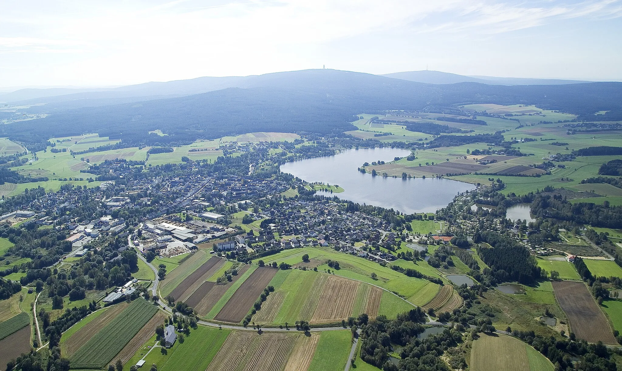
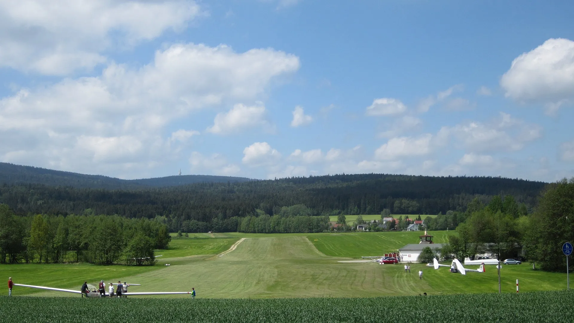
Explore the picturesque landscapes of Röslau in Oberfranken, Germany.
Cycling routes from Roslau
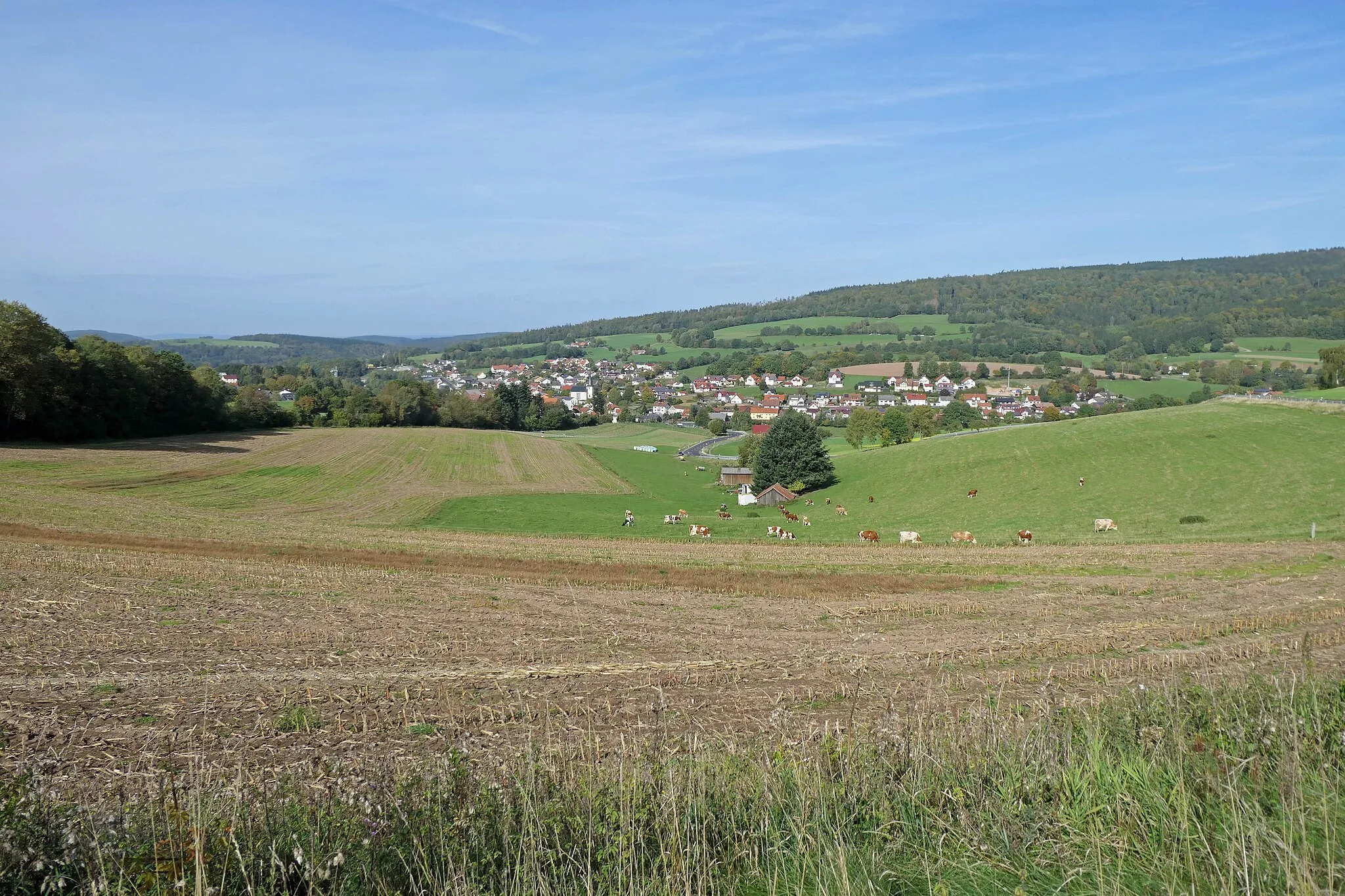
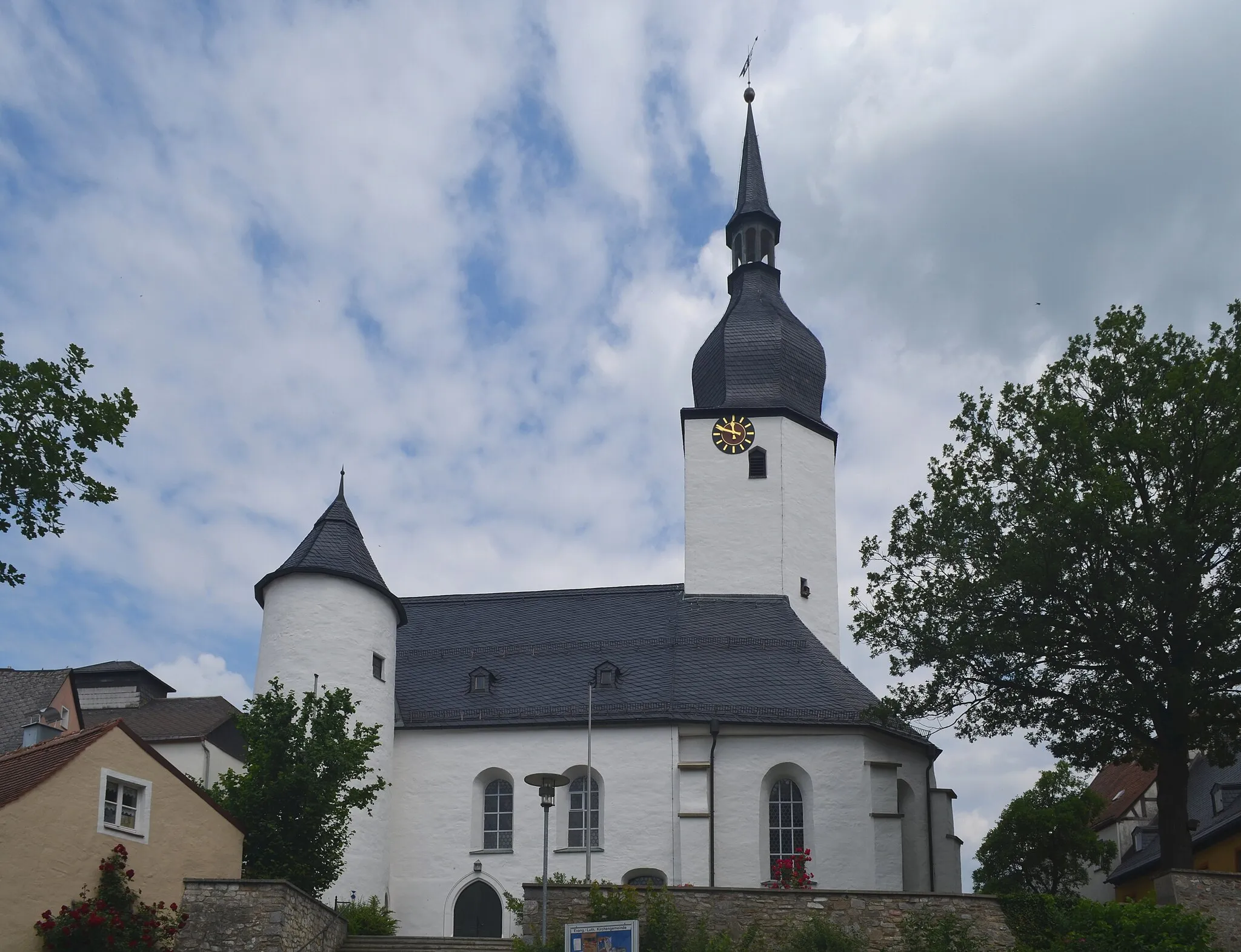
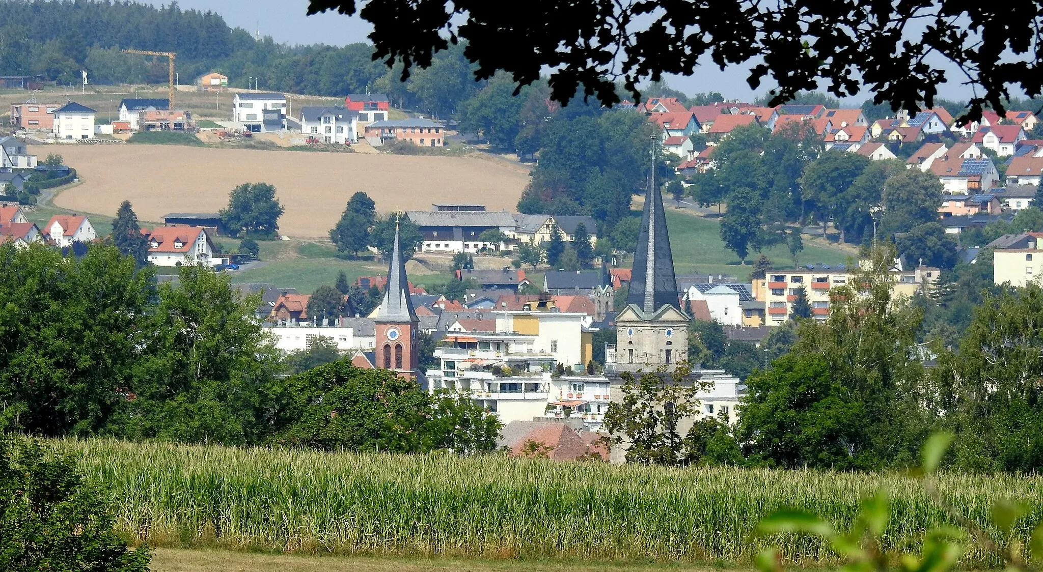
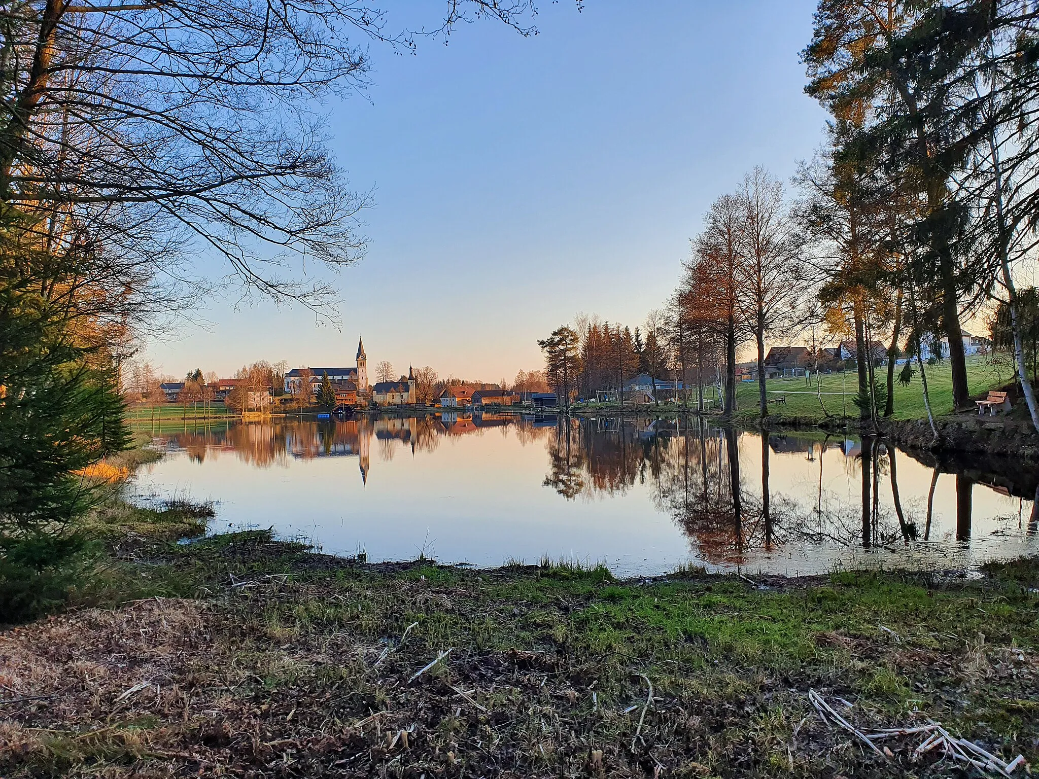
Röslau is a small town located in Oberfranken, Germany. As a road and gravel cyclist, you will find the locality to be quite picturesque with its beautiful landscapes and charming countryside roads. The cycling routes in Röslau offer a mix of flat stretches and rolling hills, making it suitable for riders of all levels. While there are no famous cycling spots or well-known climbs directly in Röslau, the nearby Fichtelgebirge mountain region offers stunning cycling opportunities with challenging climbs. Overall, Röslau is a pleasant destination for cyclists looking to explore the natural beauty of Oberfranken.
Cycling through Röslau to Freiberg with beautiful views
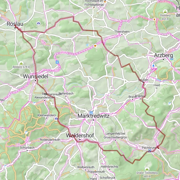
This road cycling route takes you from Röslau to Freiberg, offering stunning views along the way. You will pass through Zwölfgipfelblick, Oberprex, Holländerei, and Mühlberg before reaching the highlight point - Freiberg. The total ascent is 1175m, and the distance is 97km.
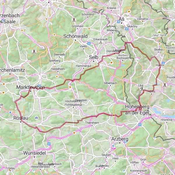
Immerse yourself in the enchanting landscapes and rich history of the Fichtelgebirge via this gravel route.
Discover the diverse beauty of the Fichtelgebirge region on this 68-kilometer gravel route. With an ascent of 989 meters, this route offers a mix of challenging climbs and stunning panoramic views. Explore highlights such as Zwölfgipfelblick, Marktleuthen, Mühlberg, Schwarzenhammer, Längenau, Kozina, Hazlov, Steinberg, and Röslau.
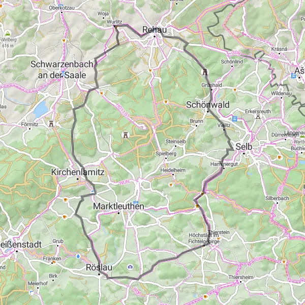
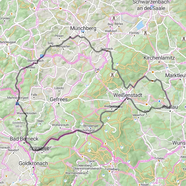
Enjoy the scenic beauty of Röslau to Schwarzenhammer on this road cycling route
This road cycling route takes you from Röslau to Schwarzenhammer, offering scenic landscapes and cultural highlights along the way. You will pass through Zwölfgipfelblick, Schiedarangen, and Mühlberg before reaching the highlight point - Schwarzenhammer. The total ascent is 741m, and the distance is 60km.
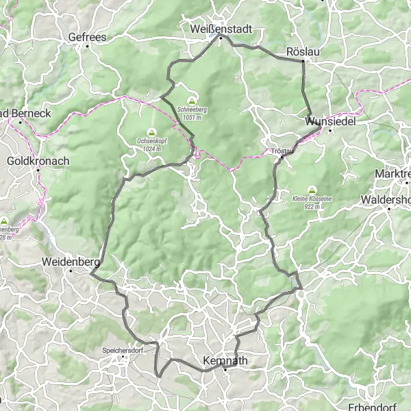
Cycling through Schönlind to Goppelshöhe with stunning views
This road cycling route takes you from Schönlind to Goppelshöhe, offering breathtaking views and challenging climbs. You will pass through Hügel, Lindenfels, and Wasserknoden before reaching the highlight point - Goppelshöhe. The total ascent is 1300m, and the distance is 78km.
Experience the beauty of Wurmloh to Warmensteinach on this road cycling tour
This road cycling route takes you from Wurmloh to Warmensteinach, offering scenic views and interesting attractions along the way. You will pass through Aussichtsplattform, Riglasreuth, and Haberstein before reaching the highlight point - Warmensteinach. The total ascent is 1191m, and the distance is 88km.
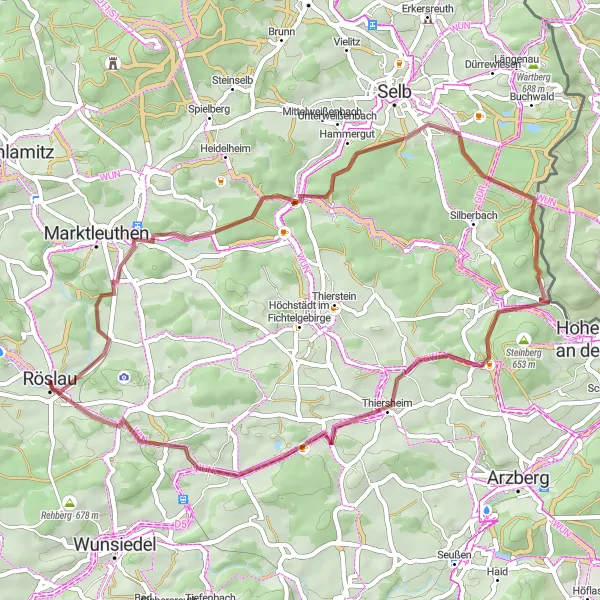
Cycle through the peaceful countryside and discover hidden gems on this gravel route.
Enjoy a leisurely 50-kilometer ride through the tranquil Oberfranken countryside on this gravel route. With a total ascent of 755 meters, this route offers a mix of scenic landscapes and cultural highlights. Explore attractions such as Mühlberg, Schwarzenhammer, and Kleiner Hengstberg.
The Hills of Oberfranken
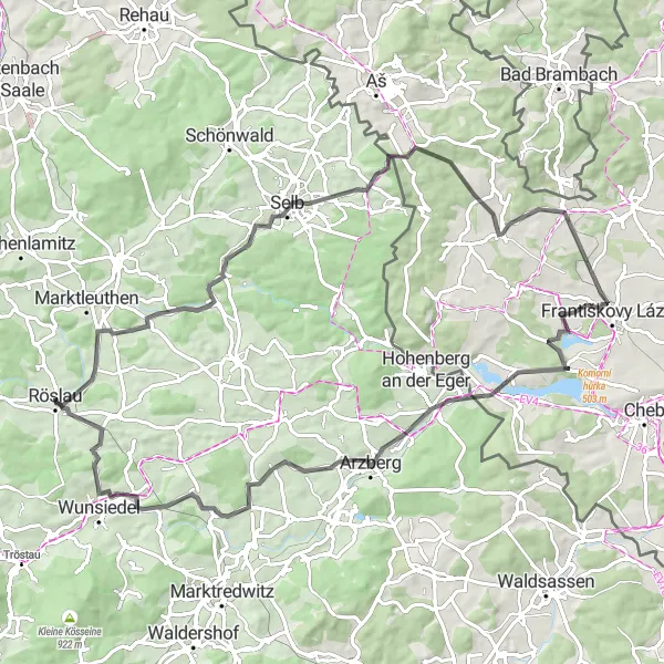
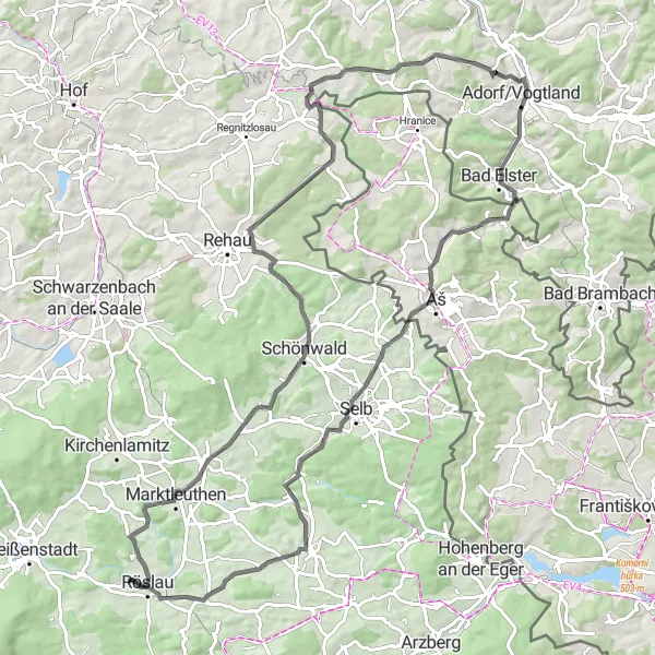
Experience the challenging climbs and scenic landscapes of the Oberfranken region on this road cycling route.
Push your limits on this 83-kilometer road cycling route through the undulating hills of Oberfranken. With a challenging ascent of 1012 meters, this route is designed for experienced cyclists seeking a thrilling challenge. Highlights along the way include Bibersberg, Goethův vrch, Hazlov, Pozorovatelna vodního ptactva, Schirnding, and Aussichtsturm Wartberg.
Picturesque Forest Ride
Get lost in nature on this scenic gravel route through dense forests and charming villages.
Embark on this 55-kilometer gravel route that offers spectacular views of the countryside and takes you through quaint villages. With a challenging ascent of 975 meters, this route provides an exhilarating ride for experienced cyclists. Discover highlights such as Mallerberg, Kohlberg, Geisberg, and Sichersreuth.
Explore the natural beauty of the Fichtelgebirge region on this challenging gravel route.
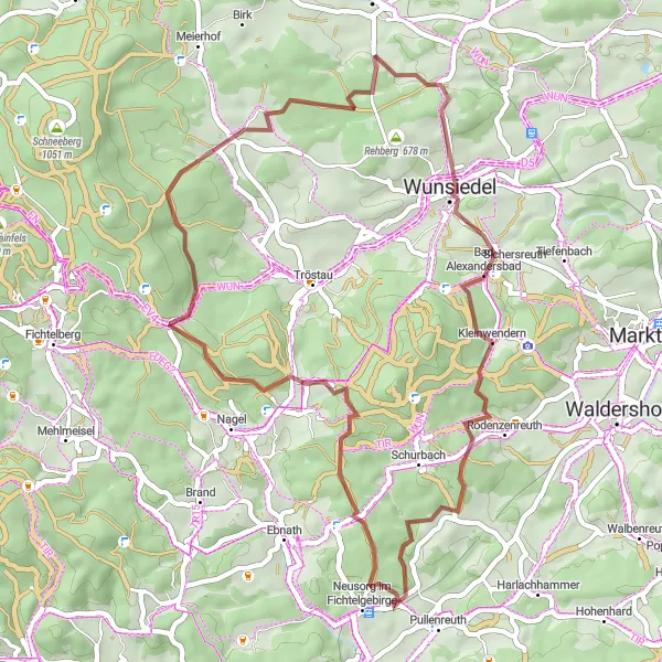
This gravel route takes you through the picturesque Fichtelgebirge region in Oberfranken, Germany. With a total ascent of 912 meters over 48 kilometers, this challenging route offers stunning views and natural surroundings. The route passes through highlights such as Bad Alexandersbad, Neusorg im Fichtelgebirge, Ochsenkopf, and Vorderer Ringberg.
Röslau to www.turnephant.de

Cycling through Zwölfgipfelblick
This gravel cycling route takes you from Röslau to Zwölfgipfelblick, offering picturesque landscapes and off-road adventure. You will pass through Reicholdsgrün, Kleiner Kornberg, and Neudesberg before reaching the highlight point - Zwölfgipfelblick. The total ascent is 643m, and the distance is 41km.
Cycling routes nearby:
Nearby regions: