Schönlind to Goppelshöhe Road Cycling Route
A road cycling route starting from Roslau
Cycling through Schönlind to Goppelshöhe with stunning views
Map
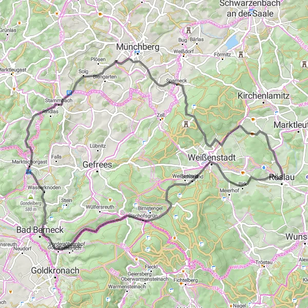
This road cycling route takes you from Schönlind to Goppelshöhe, offering breathtaking views and challenging climbs. You will pass through Hügel, Lindenfels, and Wasserknoden before reaching the highlight point - Goppelshöhe. The total ascent is 1300m, and the distance is 78km.
road
78 km
1300 m
Tough
Route profile
Highlights on the route
0 km
0 km
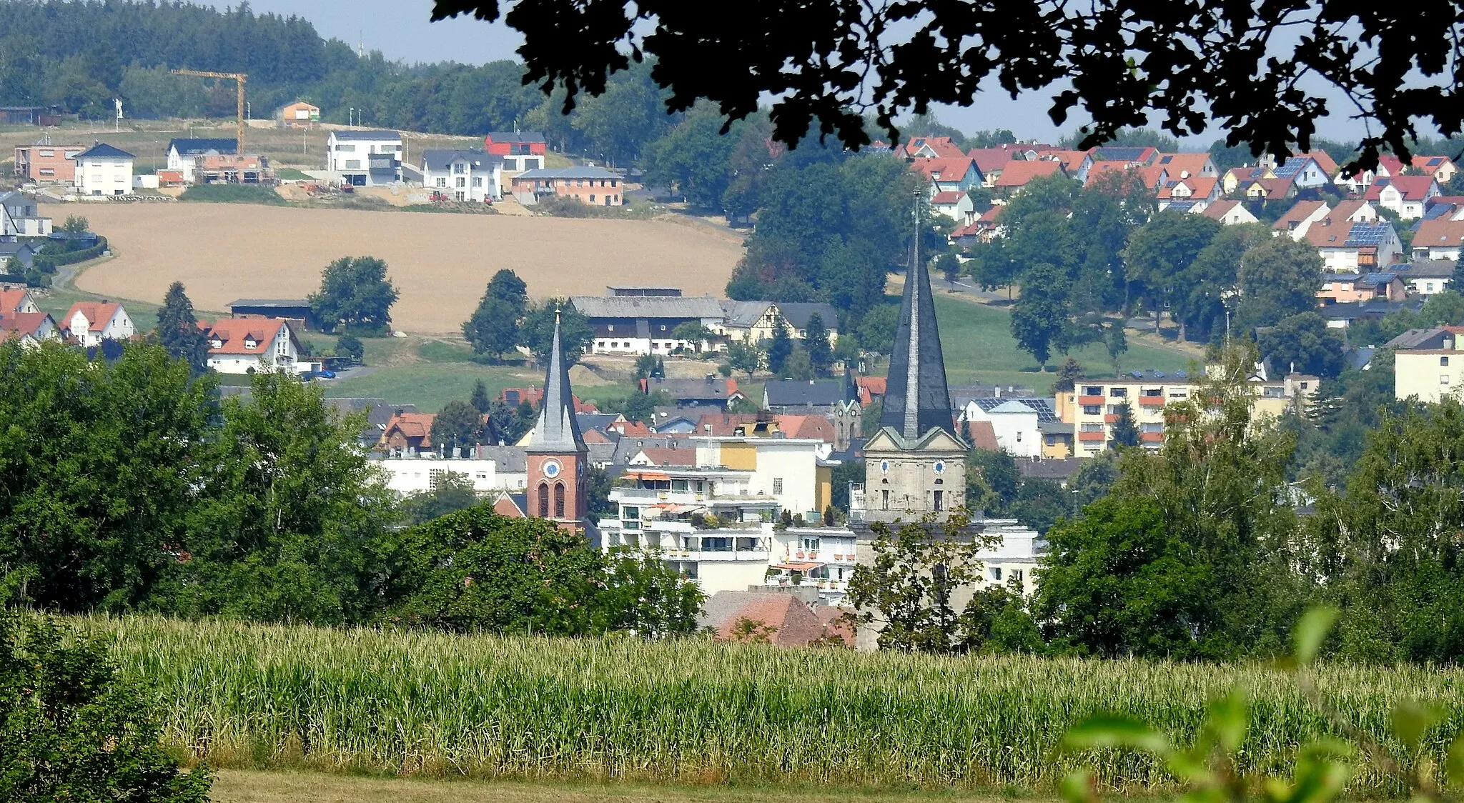
Start: Röslau City centerRöslau: Explore the picturesque landscapes of Röslau in Oberfranken, Germany.
Röslau is a small town located in Oberfranken, Germany. As a road and gravel cyclist, you will find the locality to be quite picturesque with its beautiful landscapes and charming countryside roads. The cycling routes in Röslau offer a mix of flat stretches and rolling hills, making it suitable for riders of all levels. While there are no famous cycling spots or well-known climbs directly in Röslau, the nearby Fichtelgebirge mountain region offers stunning cycling opportunities with challenging climbs. Overall, Röslau is a pleasant destination for cyclists looking to explore the natural beauty of Oberfranken.10 km
10 km
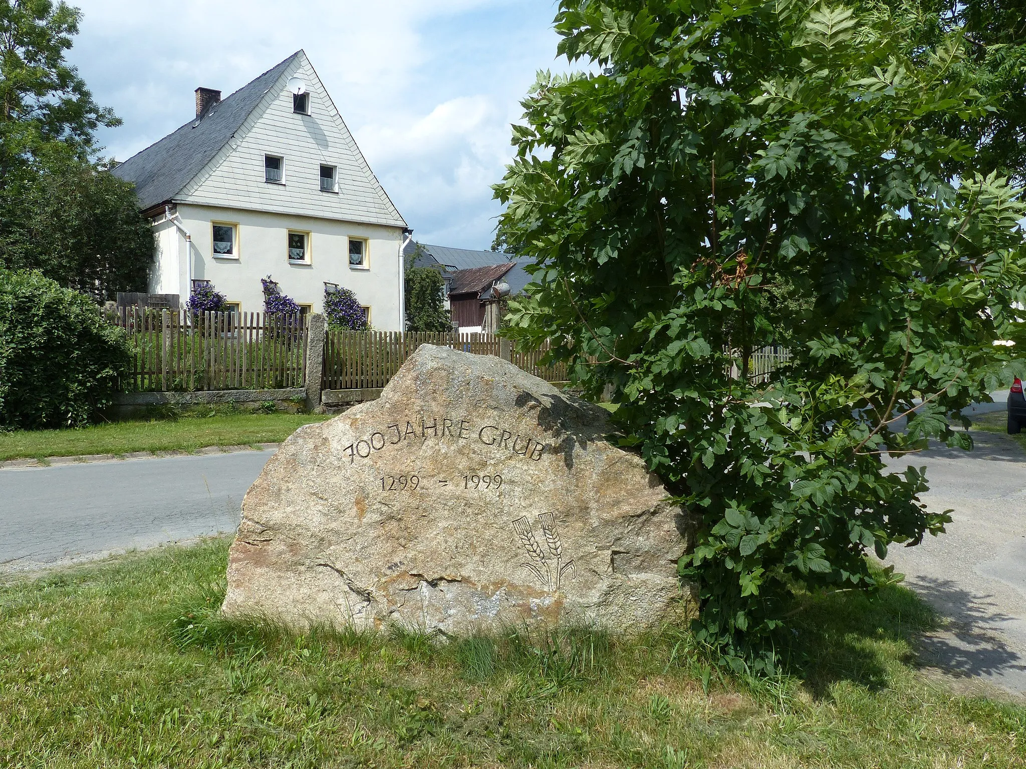
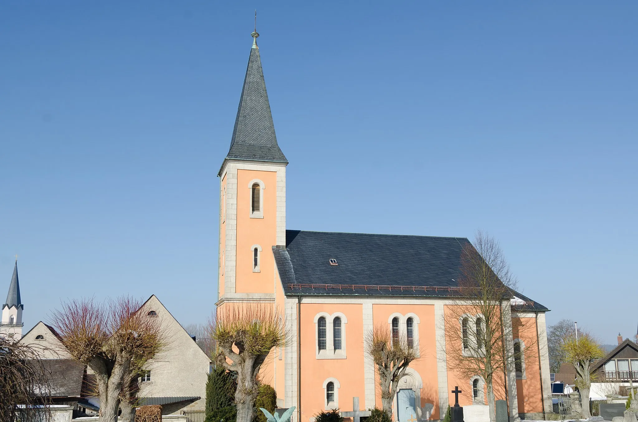
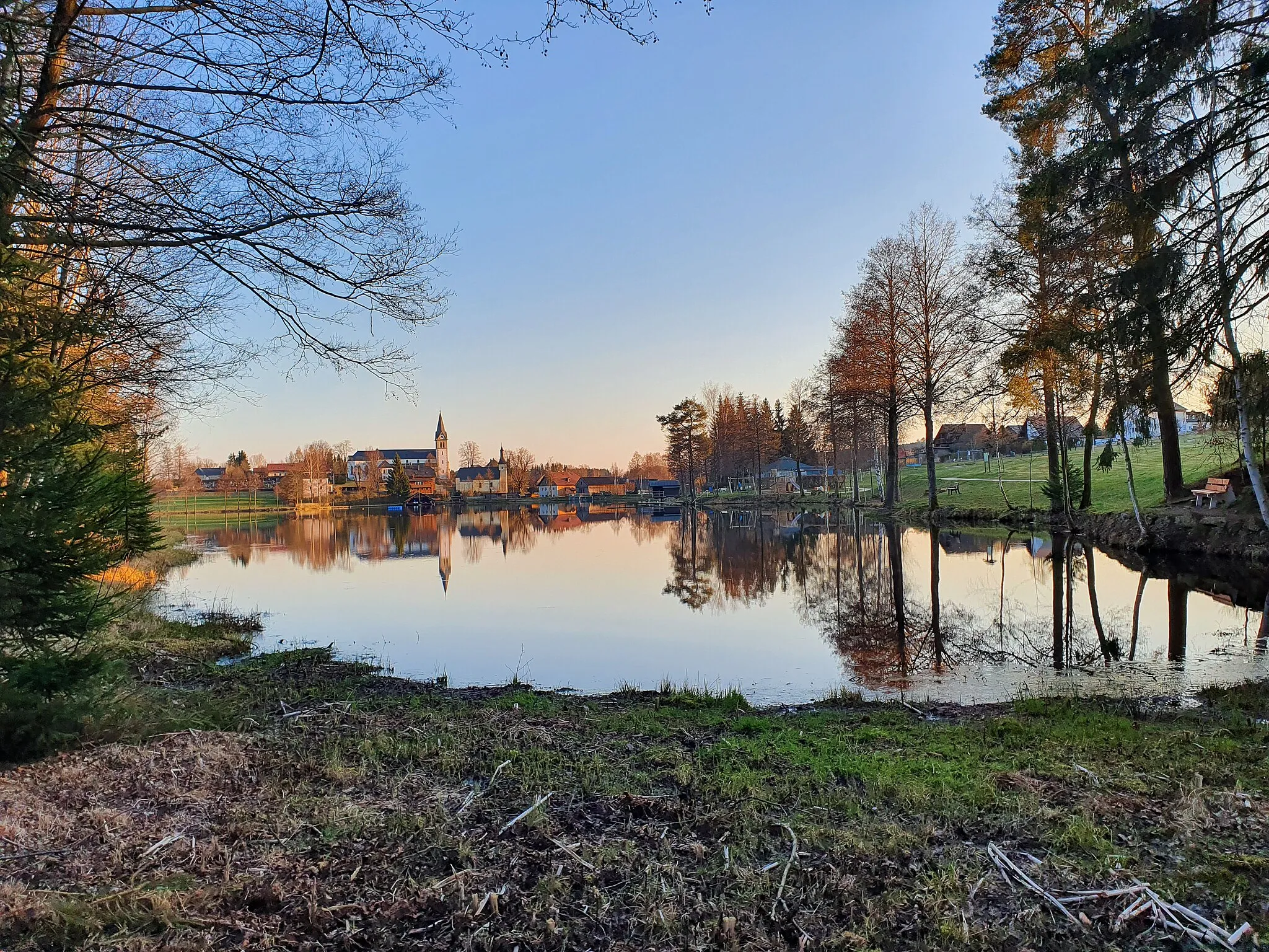
SchönlindVillageSchönlind is a picturesque village with traditional half-timbered houses and beautiful surrounding nature.
17 km
17 km
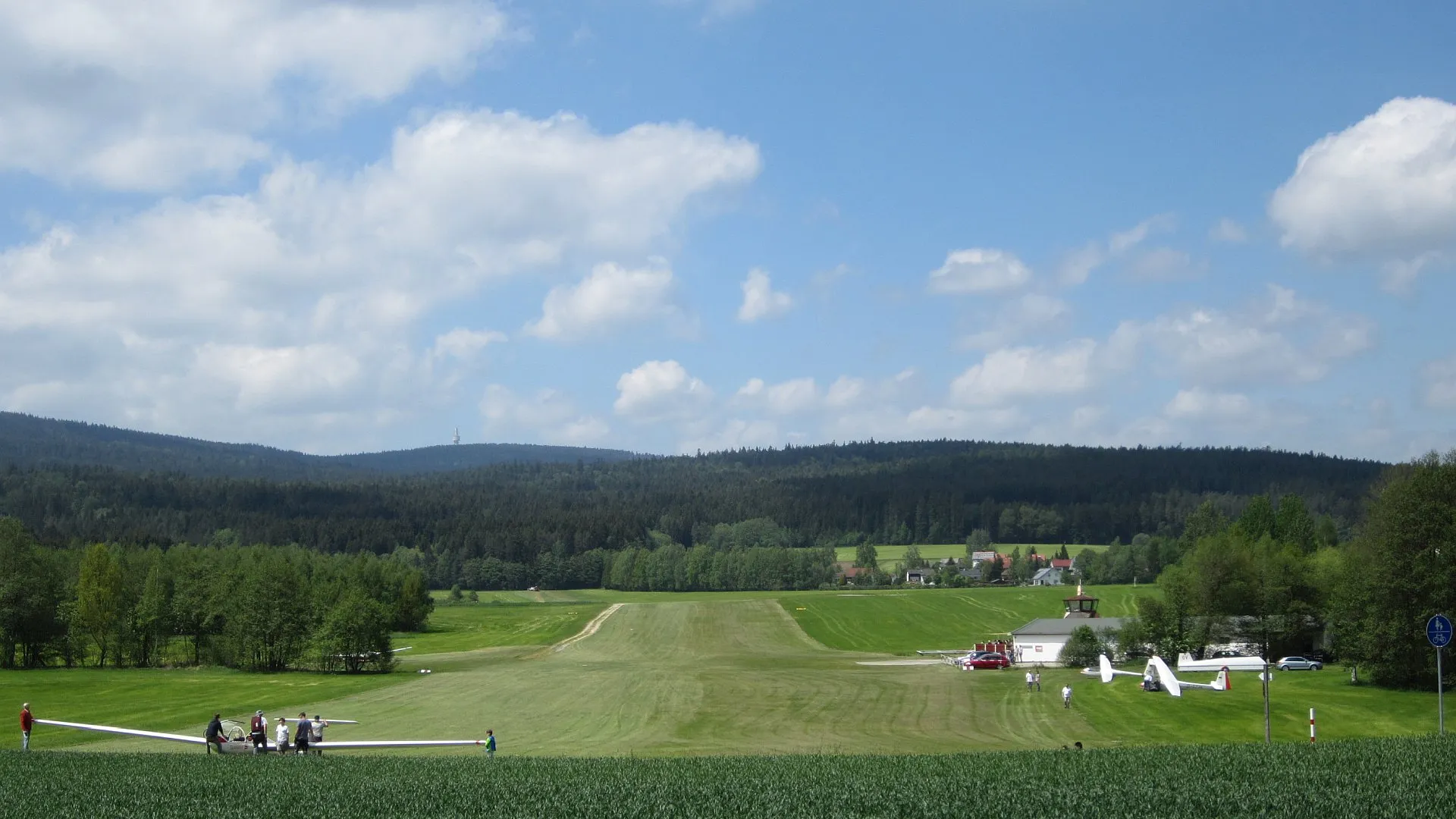
Hügel745 mPeakHügel provides scenic views of the rolling hills and is a great spot to take a break and enjoy the surroundings.
30 km
30 km
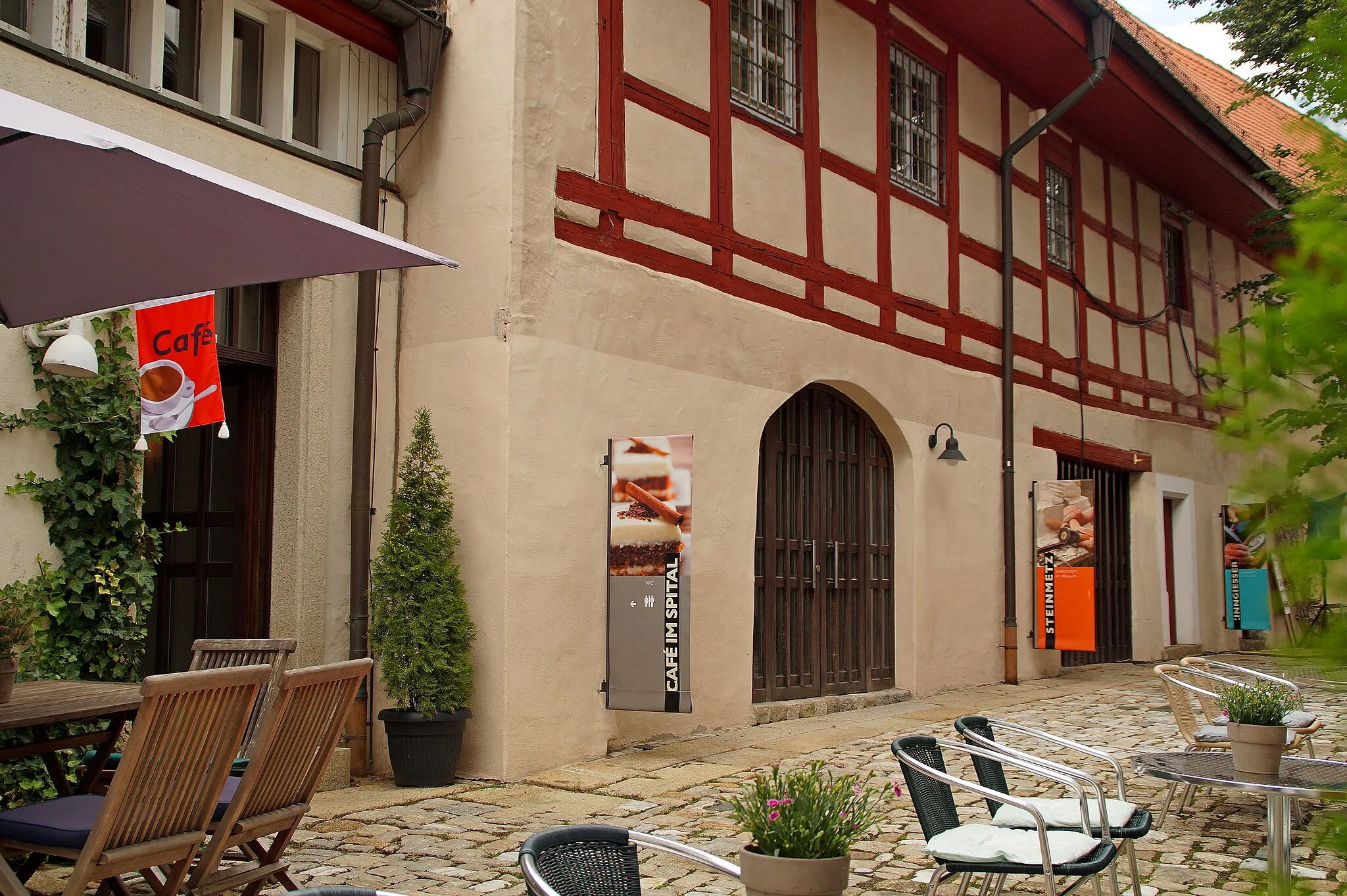
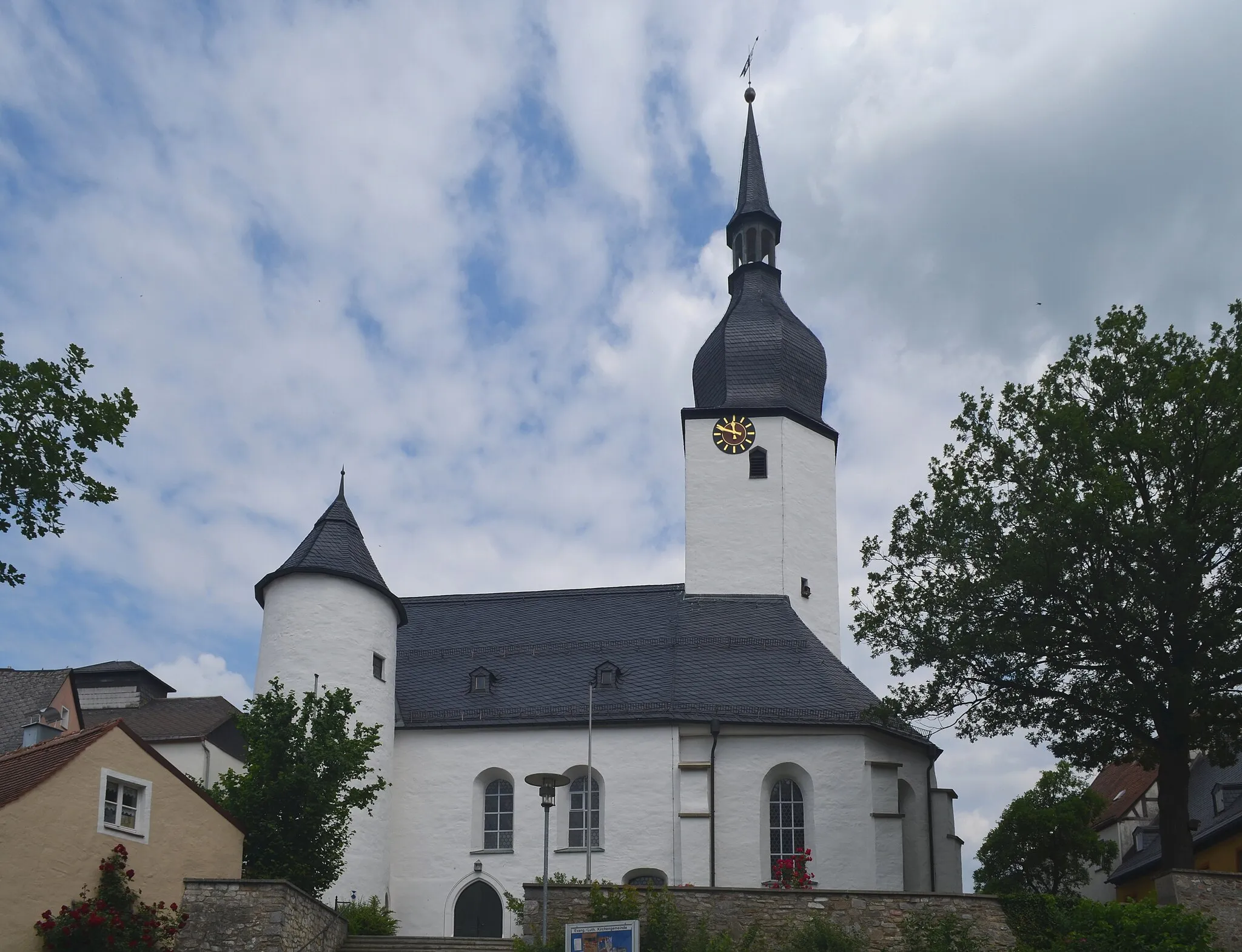
LindenfelsViewpointLindenfels is a charming small town with a medieval castle, offering a perfect stop for history enthusiasts.
33 km
33 km
WasserknodenVillageWasserknoden is a scenic hilltop village with breathtaking views of the surrounding landscape.
45 km
45 km
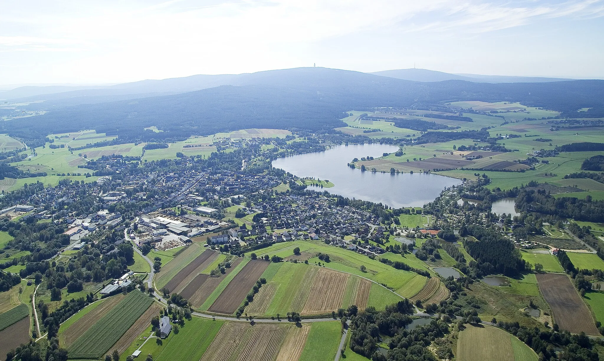
Goppelshöhe616 mPeakGoppelshöhe is a legendary cycling spot known for its challenging climbs and stunning panoramas.
78 km
78 km
ZwölfgipfelblickViewpointZwölfgipfelblick is a must-visit spot with unparalleled panoramic views of the surrounding mountains and valleys.
78 km
78 km
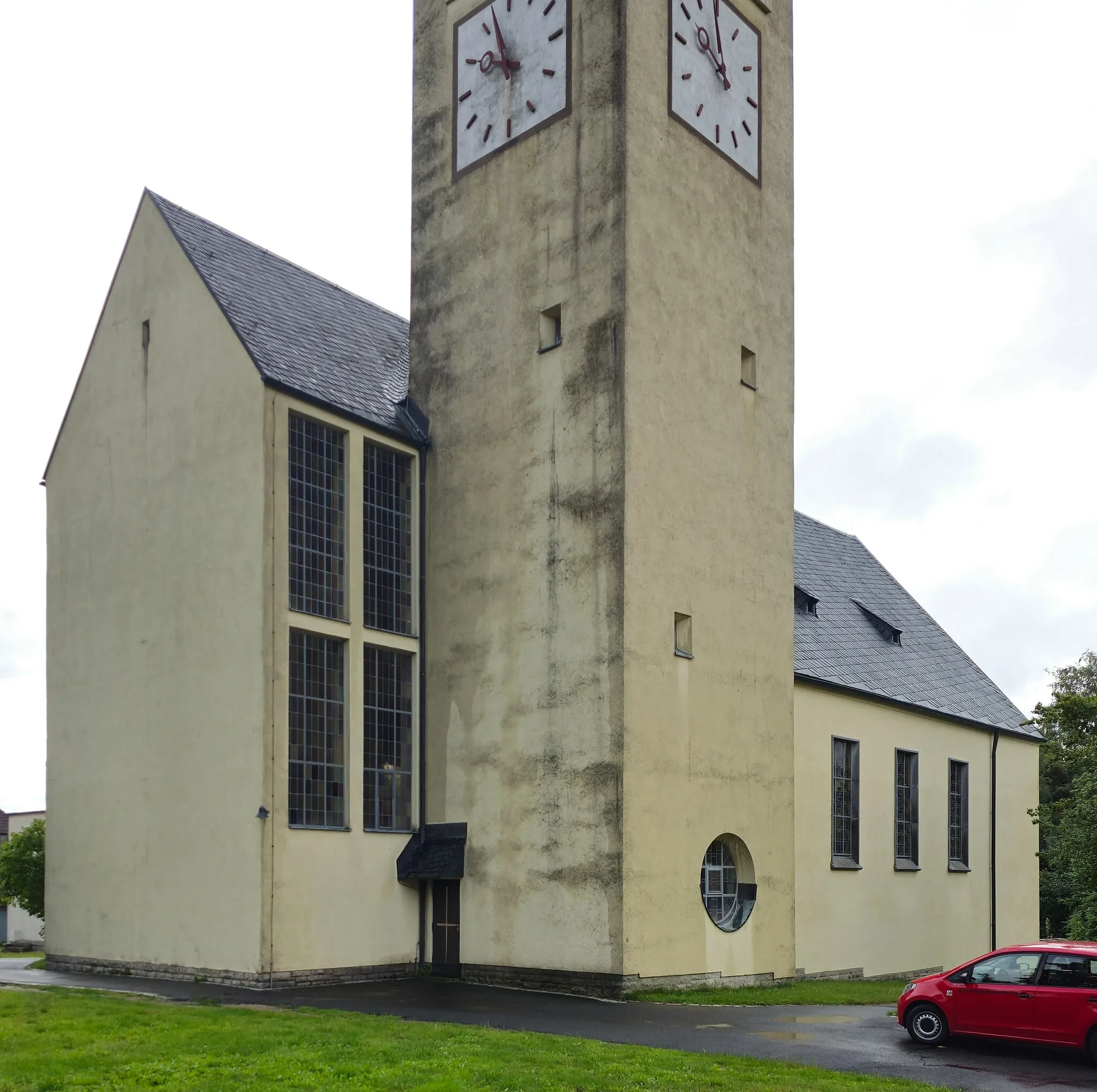
RöslauTownRöslau is a picturesque town with beautiful nature and historic architecture, making it a perfect starting point for this cycling route.
78 km
78 km
Finish: Röslau City centerRöslau: Explore the picturesque landscapes of Röslau in Oberfranken, Germany.
Cycling routes from Roslau:
Fichtelgebirge Adventure Wurmloh to Warmensteinach Road Cycling Route The Hills of Oberfranken Röslau to Schwarzenhammer Road Cycling Route Röslau to www.turnephant.de Hengstberg Loop Heart of Fichtelgebirge Picturesque Forest Ride Schönlind to Goppelshöhe Road Cycling Route Röslau to Freiberg Road Cycling Route
Cycling routes nearby: