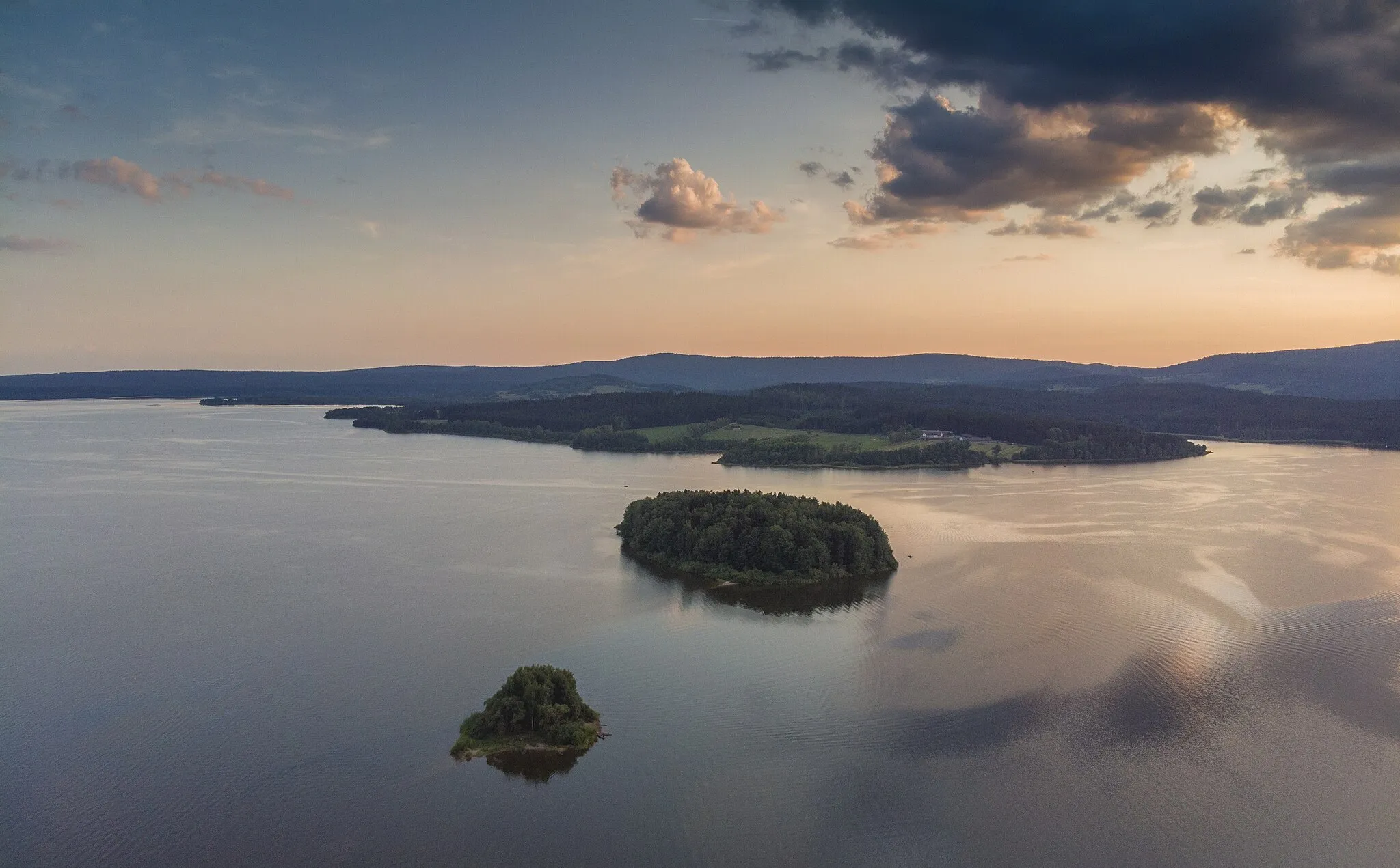
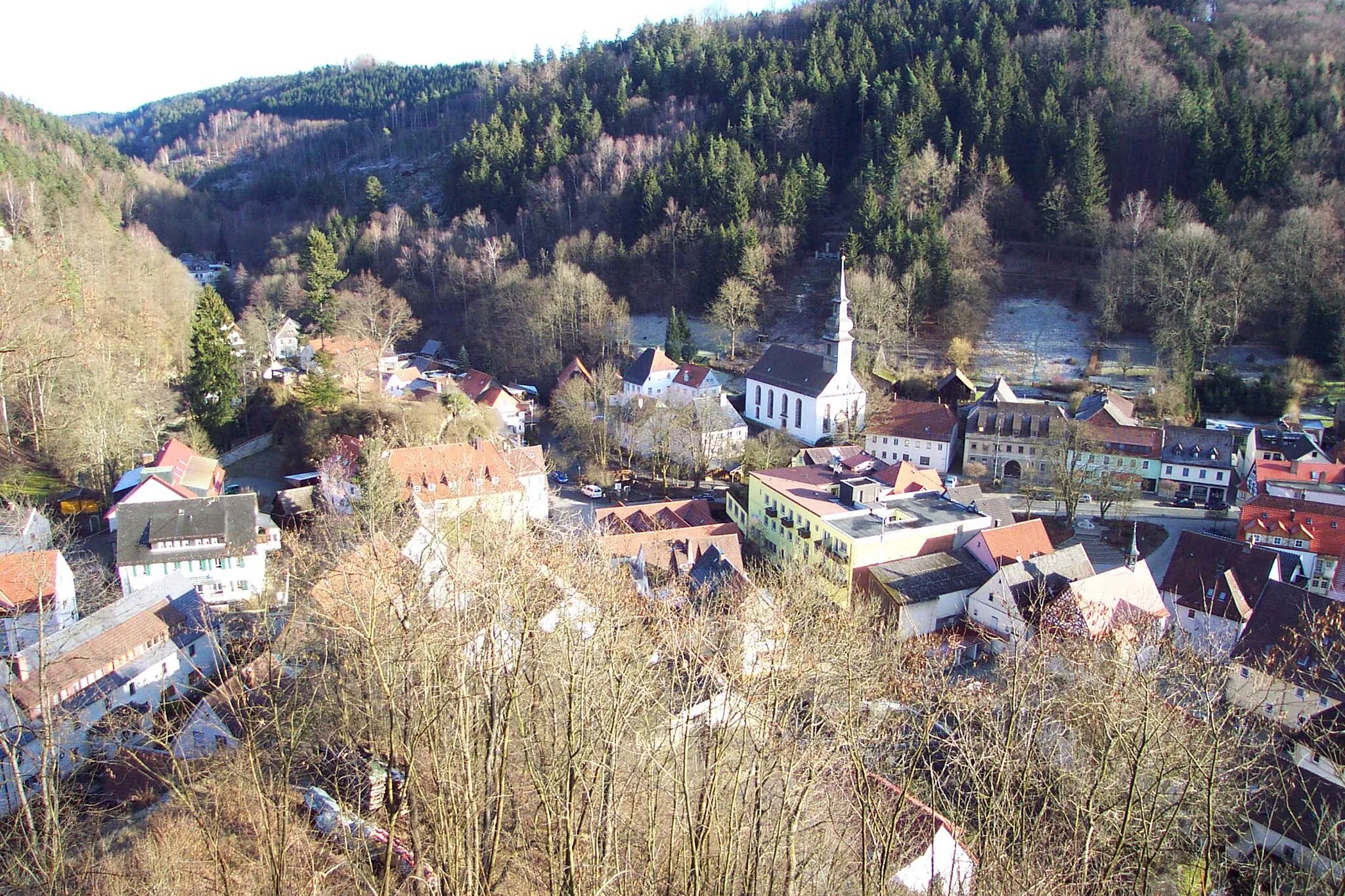
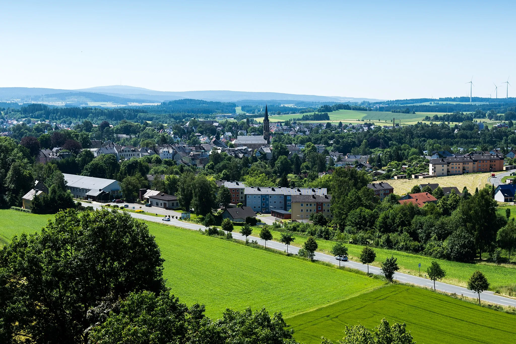
Scenic cycling through rolling hills in Stammbach, Oberfranken.
Cycling routes from Stammbach
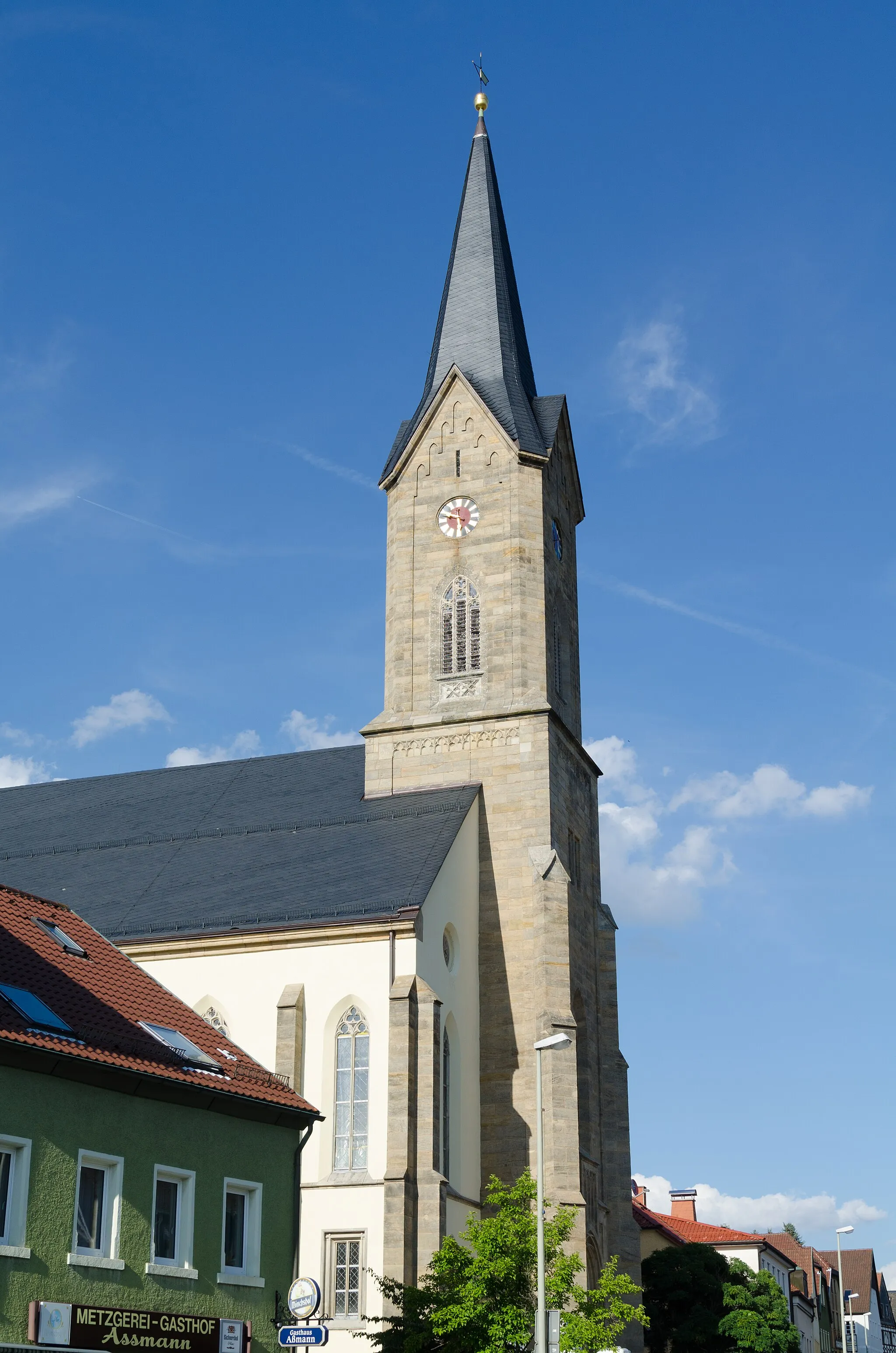
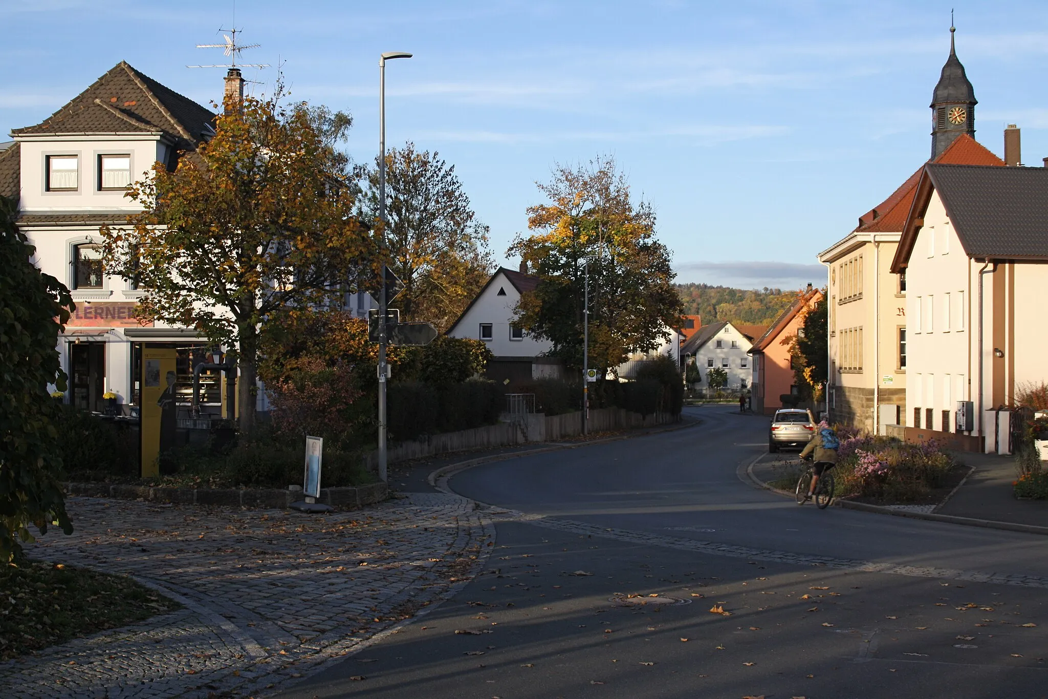
Stammbach, located in Oberfranken, Germany, offers a range of cycling opportunities for both road and gravel cyclists. The countryside surrounding Stammbach is characterized by beautiful rolling hills and scenic landscapes, making it ideal for leisurely rides. Additionally, there are several well-maintained cycling routes that pass through the area, offering varying levels of difficulty. One notable cycling spot in the vicinity is the Thuringian Forest, known for its challenging climbs and stunning views. With its diverse cycling options and picturesque surroundings, Stammbach ranks as a solid 3.
Embark on an epic gravel adventure through diverse landscapes
The Gravel Adventure takes you on a thrilling off-road cycling experience, with gravel paths that traverse diverse landscapes. With a distance of 104 km and an ascent of 2089 m, this route is suitable for experienced gravel cyclists seeking a challenge. Along the way, you will encounter picturesque villages, historic landmarks, and stunning natural attractions.
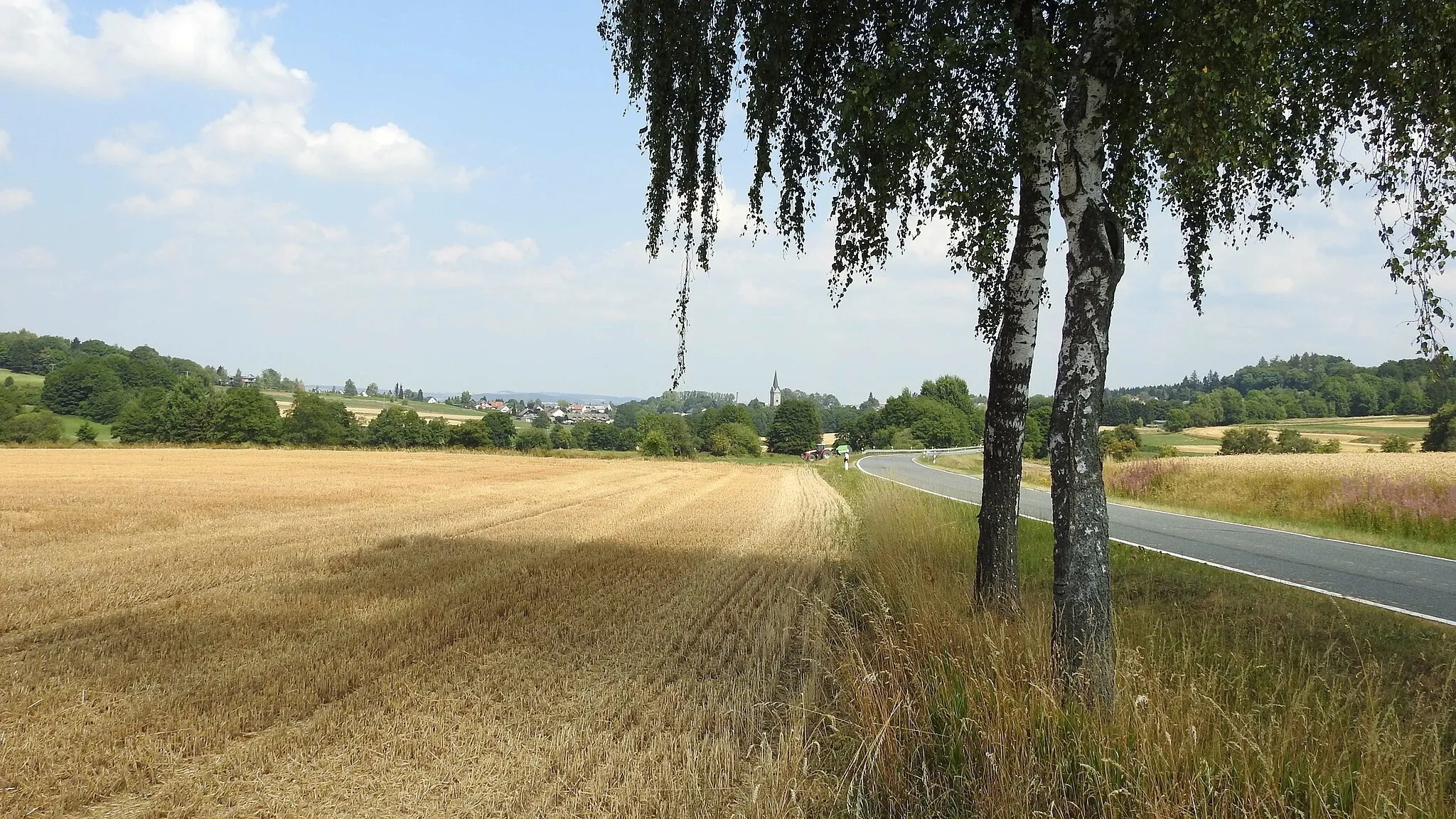
Explore picturesque villages and rolling hills on this scenic route near Stammbach.
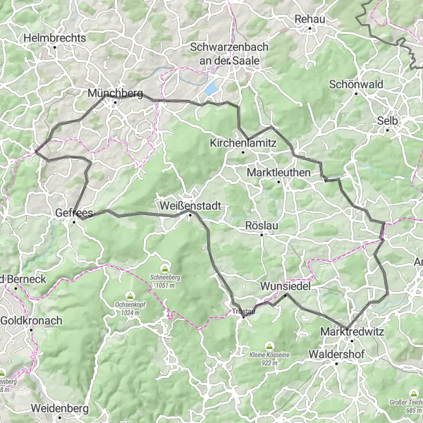
This route takes you through the charming villages and lush green hills near Stammbach. With a distance of 101 km and an ascent of 1361 m, it offers the perfect challenge for well-trained amateurs. As you cycle through Weißdorf and Kirchenlamitz, you'll be rewarded with beautiful views of the surrounding countryside. Don't miss the Wellersberg and Thiersheim, which offer stunning panoramic vistas. For a taste of local history, stop by Kohlberg and Tröstau. The highlight of this route is the Goppelshöhe, a famous cycling spot that provides breathtaking views. Overall, this route combines natural beauty with historical landmarks, making it a must-visit for cycling enthusiasts.
Venture into the wild forests and experience nature's tranquility
The Wild Forests Route is a thrilling gravel cycling adventure that takes you deep into the enchanting forests of the region. With a distance of 93 km and an ascent of 2103 m, this route is recommended for experienced gravel cyclists who are prepared for challenging terrain. As you cycle through dense woodlands and remote landscapes, be prepared to encounter wildlife, diverse flora, and historic landmarks along the way.
The Castle Trail
Follow the trails of ancient castles on the Castle Trail
The Castle Trail is a captivating gravel cycling route that takes you on a journey through time and history, following the trails of ancient castles. With a distance of 68 km and an ascent of 933 m, this route is suitable for intermediate gravel cyclists. Along the way, you will be enchanted by stunning castle ruins, picturesque landscapes, and charming villages.
Embark on an off-road gravel adventure through the lesser-known routes near Stammbach.
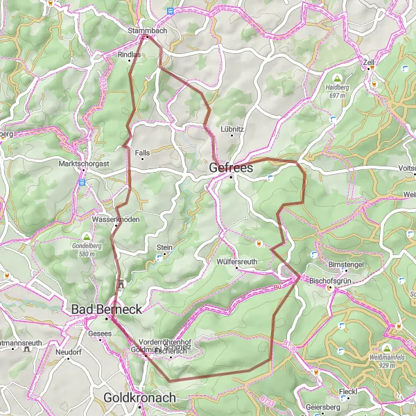
This off-road gravel route near Stammbach takes you through lesser-known paths, offering a unique adventure for gravel enthusiasts. With a distance of 44 km and an ascent of 988 m, it is a challenging yet rewarding ride. Begin your journey in Stammbach and explore the hidden gem of Wetzstein, known for its stunning natural beauty. Hirschhorn provides a peaceful escape with its tranquil landscapes and off-the-beaten-path feel. The Altes Schloss, an ancient castle ruin, offers a glimpse into the region's rich history. Cycling through Weißensteinturm provides a thrilling experience, with its adventurous trails and panoramic views. Rindlas stands as a hidden treasure, inviting cyclists to discover its untouched landscapes. This off-the-beaten-path adventure promises excitement and the joy of discovering hidden gems.
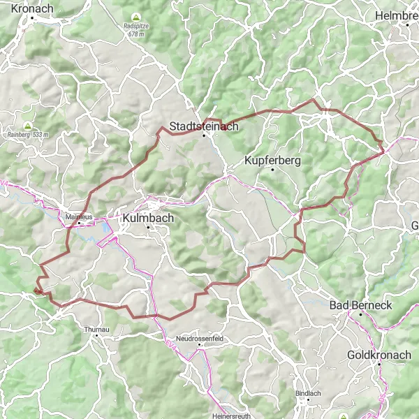
Experience the enchanting beauty of the Green Hills Route
The Green Hills Route is a scenic road cycling tour that takes you through the charming countryside and lush green hills of the region. With a distance of 65 km and an ascent of 1052 m, this route is ideal for cyclists looking to enjoy picturesque landscapes and moderate challenges. Along the way, you will pass through quaint villages, historic landmarks, and stunning viewpoints.
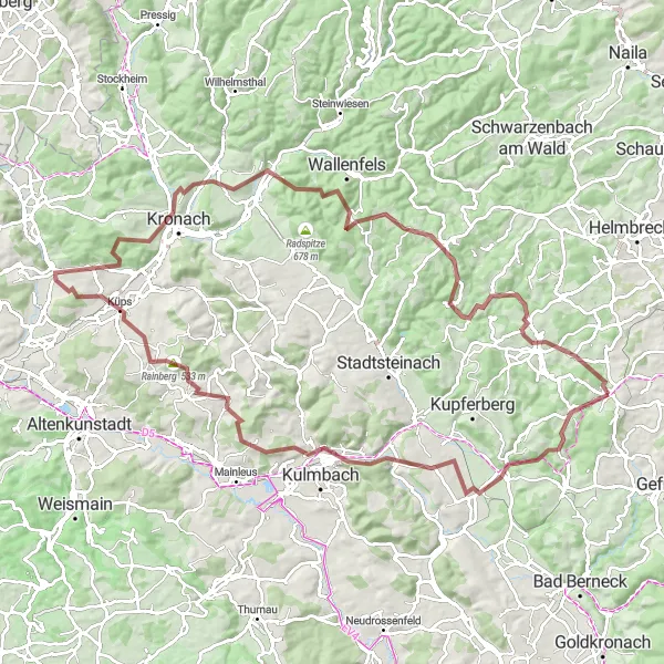
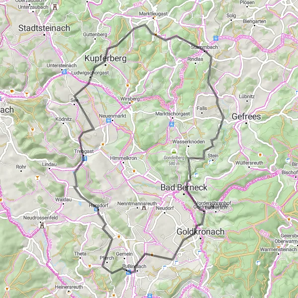
Explore the scenic landscapes and unique highlights of Stammbach on this challenging gravel loop.
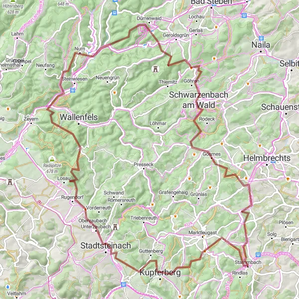
This challenging gravel loop takes you through the picturesque landscapes near Stammbach, Oberfranken in Germany. With a total distance of 81 kilometers and an elevation gain of 1,334 meters, this route offers a thrilling adventure for experienced cyclists. You will encounter various highlights along the way, including the Kaiserdenkmal monument, Trebgast, Bocksruck, Stadtsteinach, Hainberg, and Marktleugast. The route is suitable for gravel bikes and offers a mix of flat sections and challenging climbs.
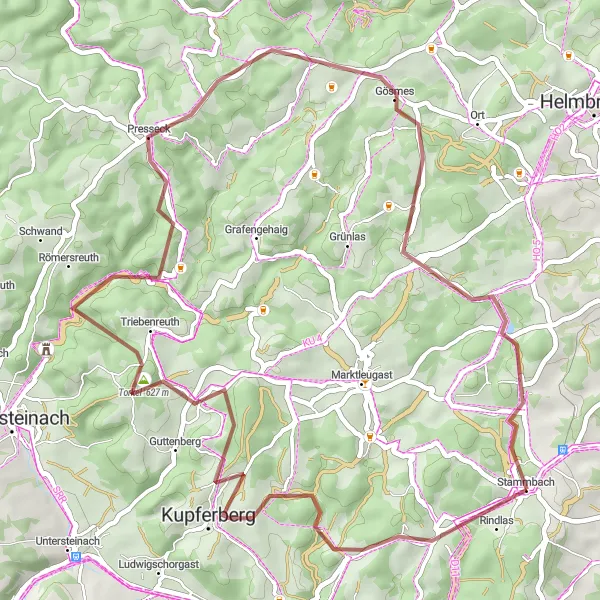
Embark on an adventurous gravel ride through the scenic Fichtelgebirge region near Stammbach.
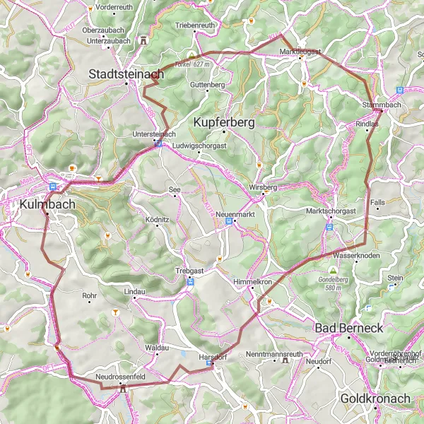
This gravel route takes you on an exciting adventure through the scenic Fichtelgebirge region near Stammbach. With a distance of 49 km and an ascent of 1058 m, it offers a thrilling challenge for gravel enthusiasts. Start your journey in Stammbach and make your way through Kupferberg, a historic town known for its copper mining heritage. As you ride along, be sure to stop at the Torkel, where you can enjoy fantastic views of the surrounding hills. Presseck offers a refreshing break, with its peaceful atmosphere and picturesque landscapes. The highlight of this route is the Fichtelgebirgsblick, a stunning vantage point that provides panoramic views of the entire region. Overall, this gravel paradise offers a unique cycling experience immersed in nature and rich local history.
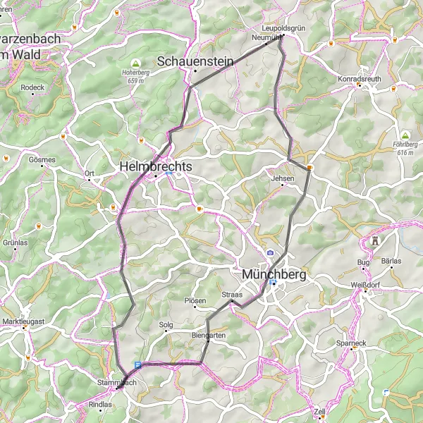
Explore historical landmarks and enjoy stunning hilltop views on this road cycling route near Stammbach.
This road cycling route near Stammbach takes you on a journey through history, with visits to multiple historical landmarks. With a distance of 45 km and an ascent of 619 m, it offers a moderate challenge suitable for all skill levels. Begin your adventure in Helmbrechts, a town known for its rich textile history and wonderful landscapes. As you cycle across the region, stop at the Aussichtsturm Kirchberg for panoramic views of the surrounding countryside. Schauenstein enchants cyclists with its picturesque charm and well-preserved historic buildings. The Ahornberger Berg rewards cyclists with stunning hilltop views and a pleasant climb. Ride by the Kriegerdenkmal/Rohrbühl to pay tribute to local history and reflect on the sacrifices made. As you reach Münchberg, delve deeper into the region's history and admire its architectural treasures. End your journey in Biengarten, reveling in its peaceful setting. This route offers a perfect blend of history, architecture, and natural beauty, making it an unforgettable experience.
The Franconian Heights
Discover the scenic beauty of Franconia in this challenging road cycling route
The Franconian Heights route is a challenging and scenic road cycling route that takes you through the beautiful region of Franconia in Germany. With a total distance of 81km and an ascent of 1264m, this route offers a great workout for well-trained amateurs. Along the way, you will encounter several highlights that showcase the rich history and natural beauty of the area.
Cycling routes nearby:
Nearby regions: