The Green Hills Route
A road cycling route starting from Stammbach
Experience the enchanting beauty of the Green Hills Route
Map
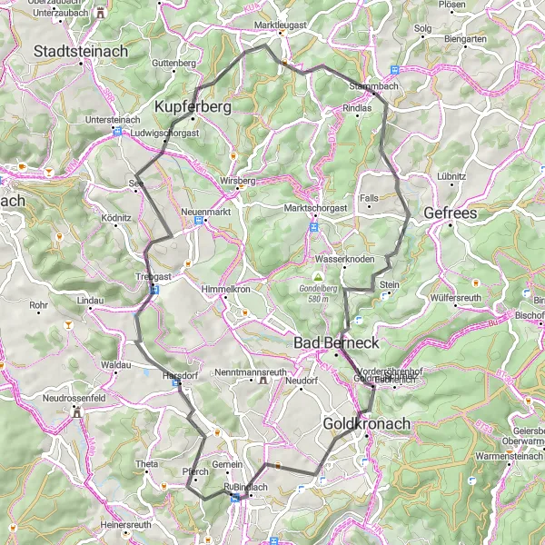
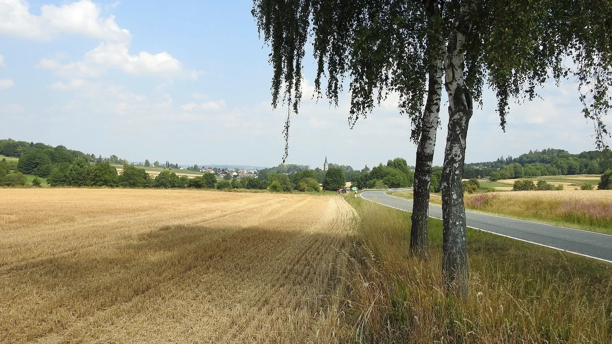
The Green Hills Route is a scenic road cycling tour that takes you through the charming countryside and lush green hills of the region. With a distance of 65 km and an ascent of 1052 m, this route is ideal for cyclists looking to enjoy picturesque landscapes and moderate challenges. Along the way, you will pass through quaint villages, historic landmarks, and stunning viewpoints.
road
65 km
1052 m
Tough
Route profile
Highlights on the route
0 km
0 km
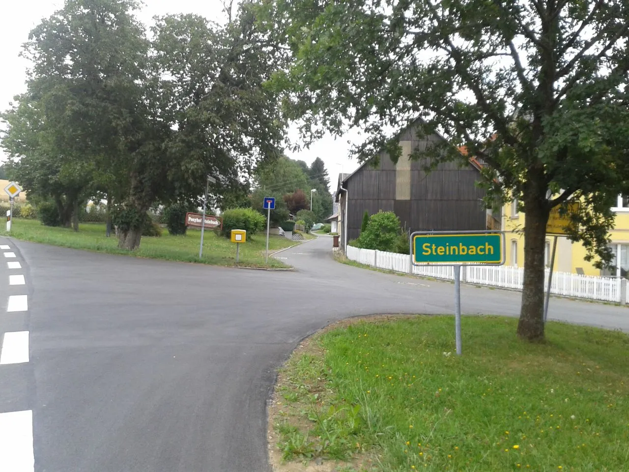
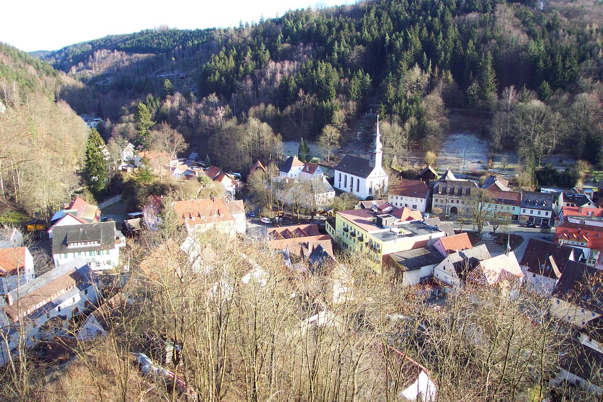
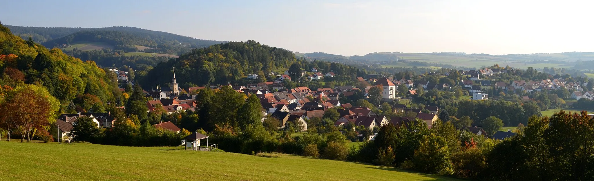
Start: Stammbach Village centerStammbach: Scenic cycling through rolling hills in Stammbach, Oberfranken.
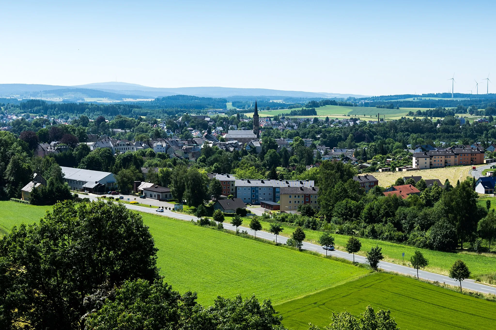
Stammbach, located in Oberfranken, Germany, offers a range of cycling opportunities for both road and gravel cyclists. The countryside surrounding Stammbach is characterized by beautiful rolling hills and scenic landscapes, making it ideal for leisurely rides. Additionally, there are several well-maintained cycling routes that pass through the area, offering varying levels of difficulty. One notable cycling spot in the vicinity is the Thuringian Forest, known for its challenging climbs and stunning views. With its diverse cycling options and picturesque surroundings, Stammbach ranks as a solid 3.0 km
0 km
StammbachVillage14 km
14 km
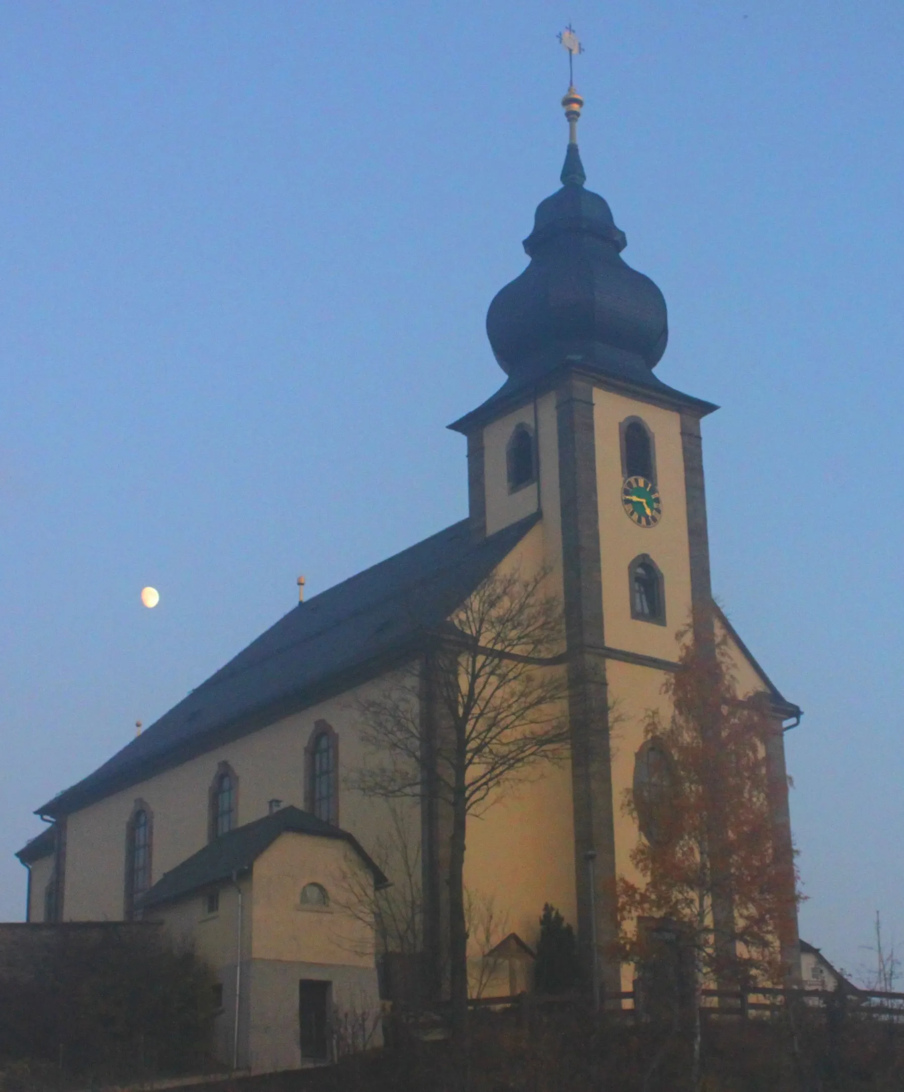
LindenfelsViewpointExplore the village of Lindenfels and admire its well-preserved medieval architecture.
19 km
19 km
WetterfahneViewpointKeep an eye out for the Wetterfahne, a unique weather vane on the route.
20 km
20 km
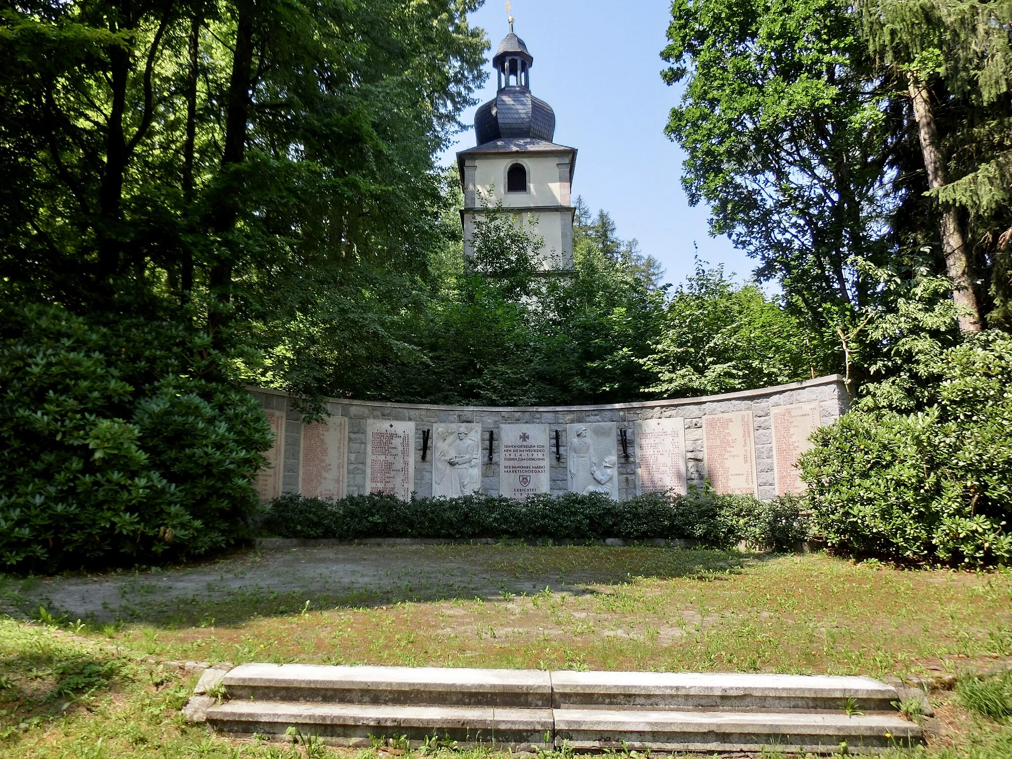
GoldkronachTownMarvel at the beauty of Goldkronach, a picturesque town with a rich mining history.
30 km
30 km
Schupfenschlager Höhe452 mPeakClimb the Schupfenschlager Höhe and enjoy panoramic views of the surrounding countryside.
37 km
37 km
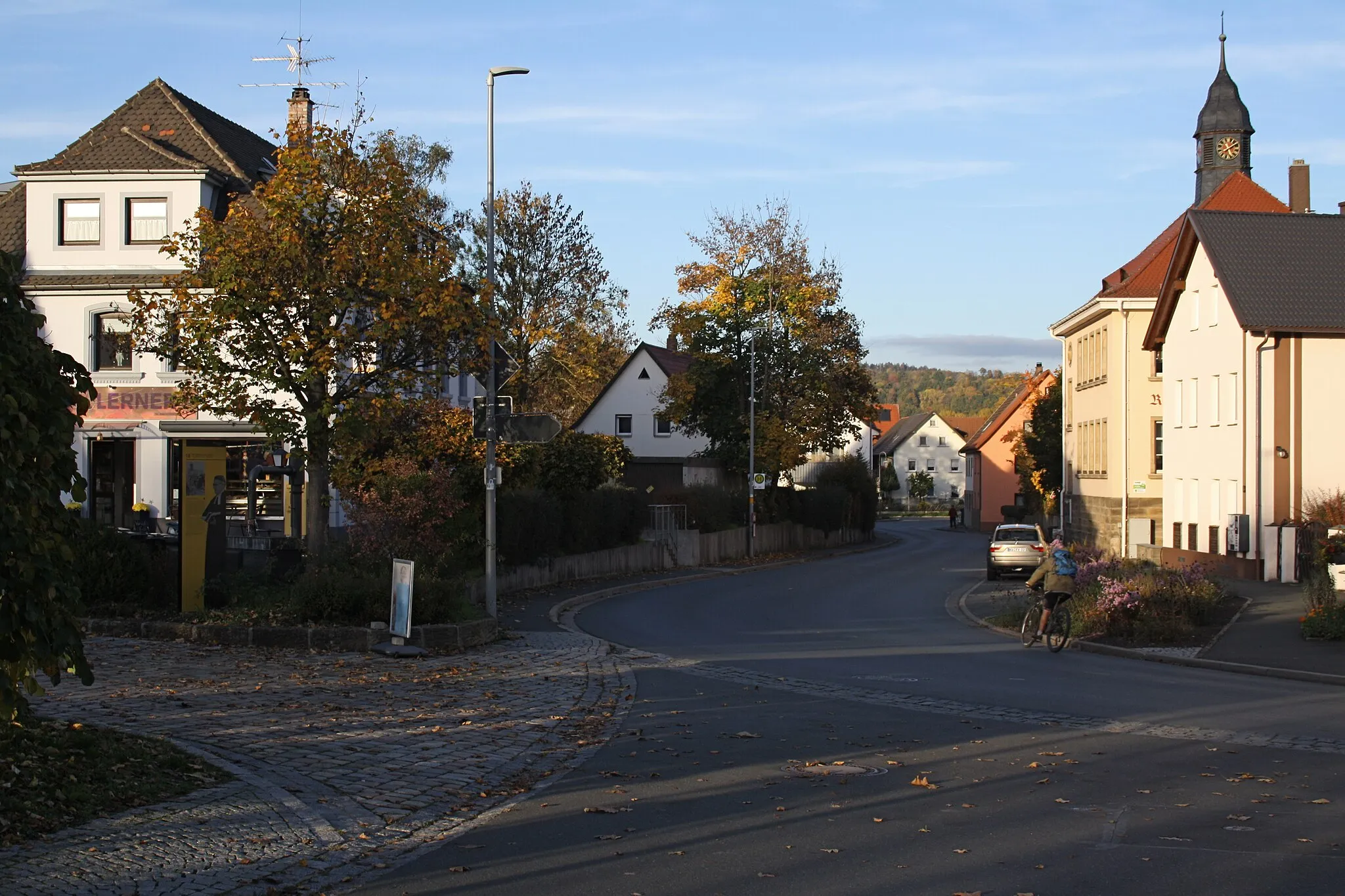
HarsdorfVillagePass through Harsdorf and take a moment to appreciate its charming atmosphere and idyllic setting.
54 km
54 km
KupferbergTownVisit Kupferberg, a town known for its copper mining history and charming medieval buildings.
56 km
56 km
Peterleinstein593 mPeakMake a stop at Peterleinstein, a beautiful castle ruin that offers impressive panoramic views.
63 km
63 km
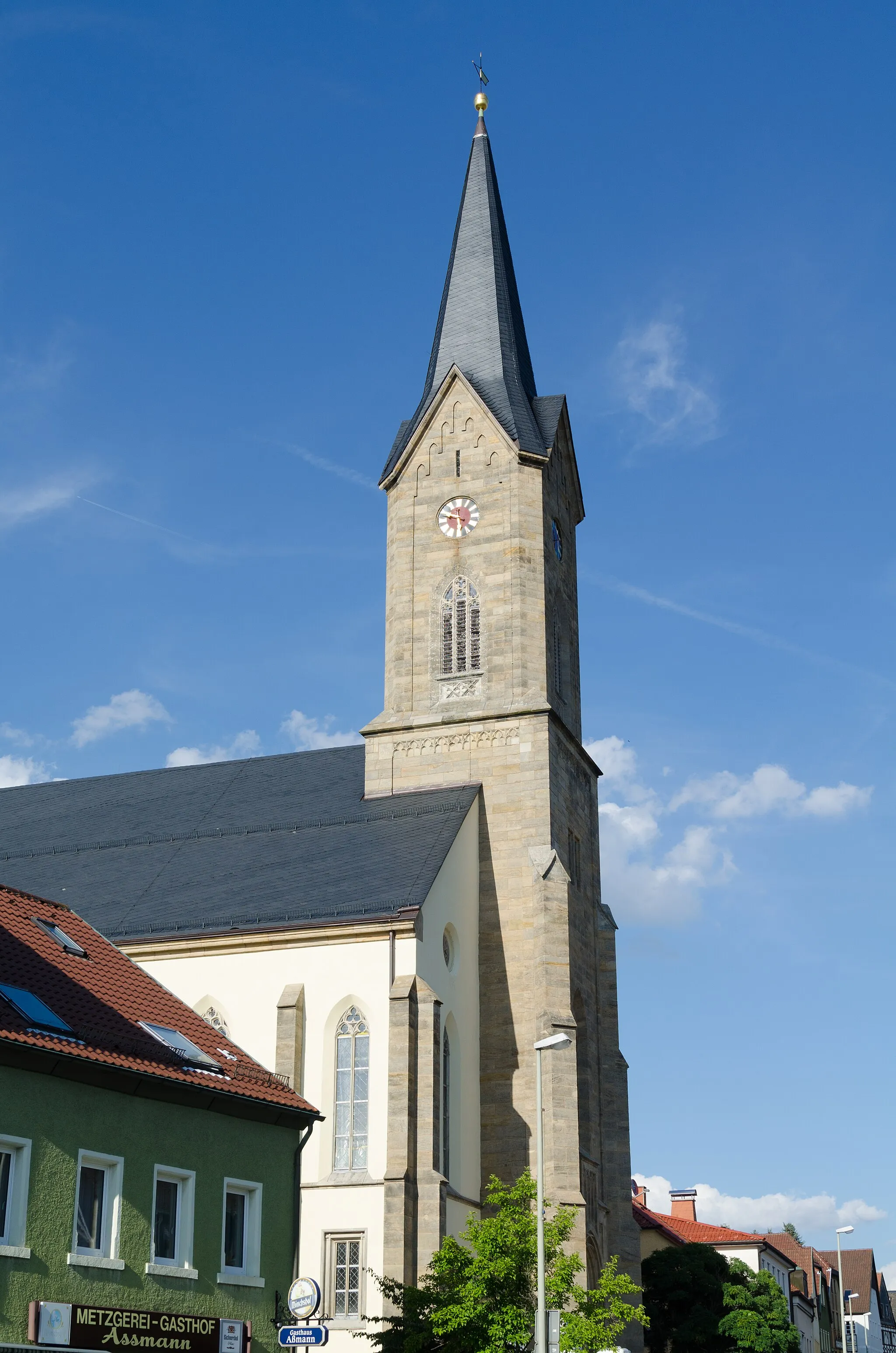
RothHamletReach the town of Roth and explore its historic center, including the medieval Church of St. George.
65 km
65 km
Finish: Stammbach Village centerStammbach: Scenic cycling through rolling hills in Stammbach, Oberfranken.
Cycling routes from Stammbach:
Green Hills and Hidden Villages Gravel Paradise in the Fichtelgebirge Cycling through Nature and History Off the Beaten Path Gravel Adventure Historical Landmarks and Hilltop Views The Franconian Kings Route The Green Hills Route The Gravel Adventure The Wild Forests Route The Castle Trail Stammbach Gravel Loop The Franconian Heights
Cycling routes nearby: