A gem for road and gravel cyclists
Cycling routes from Munchberg
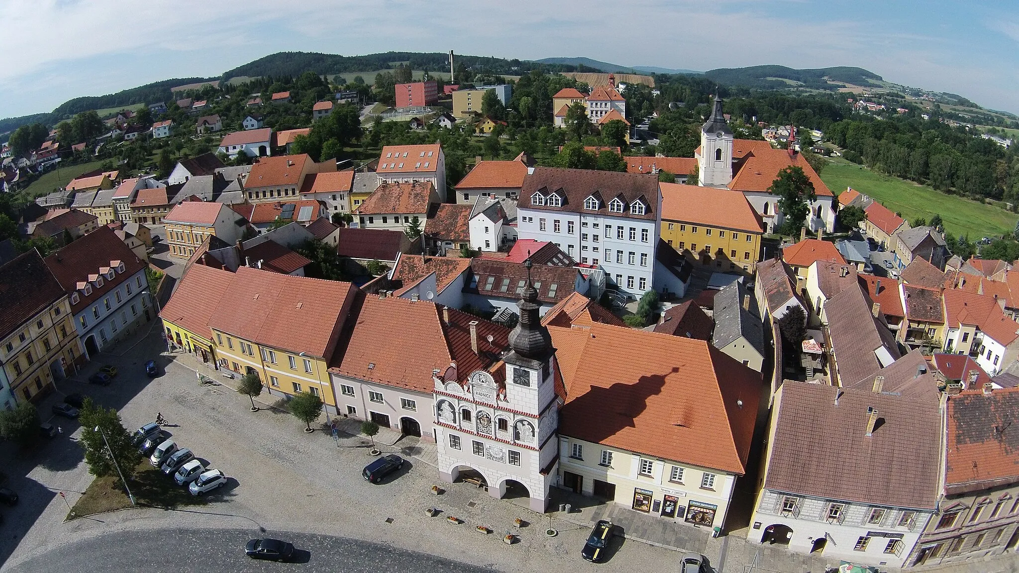
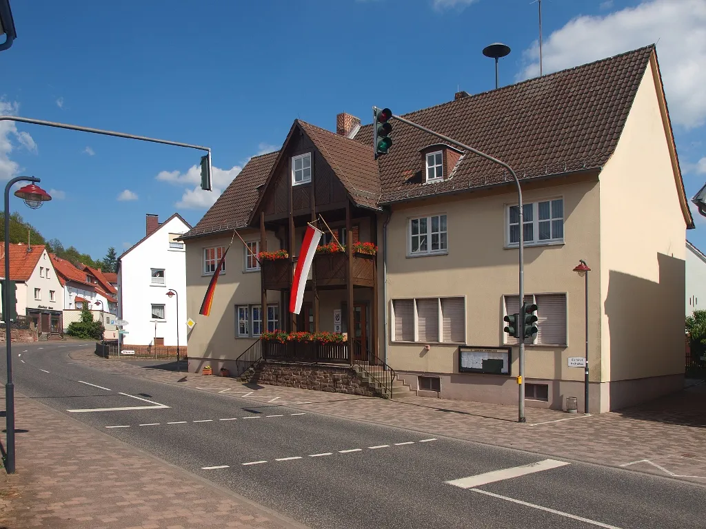
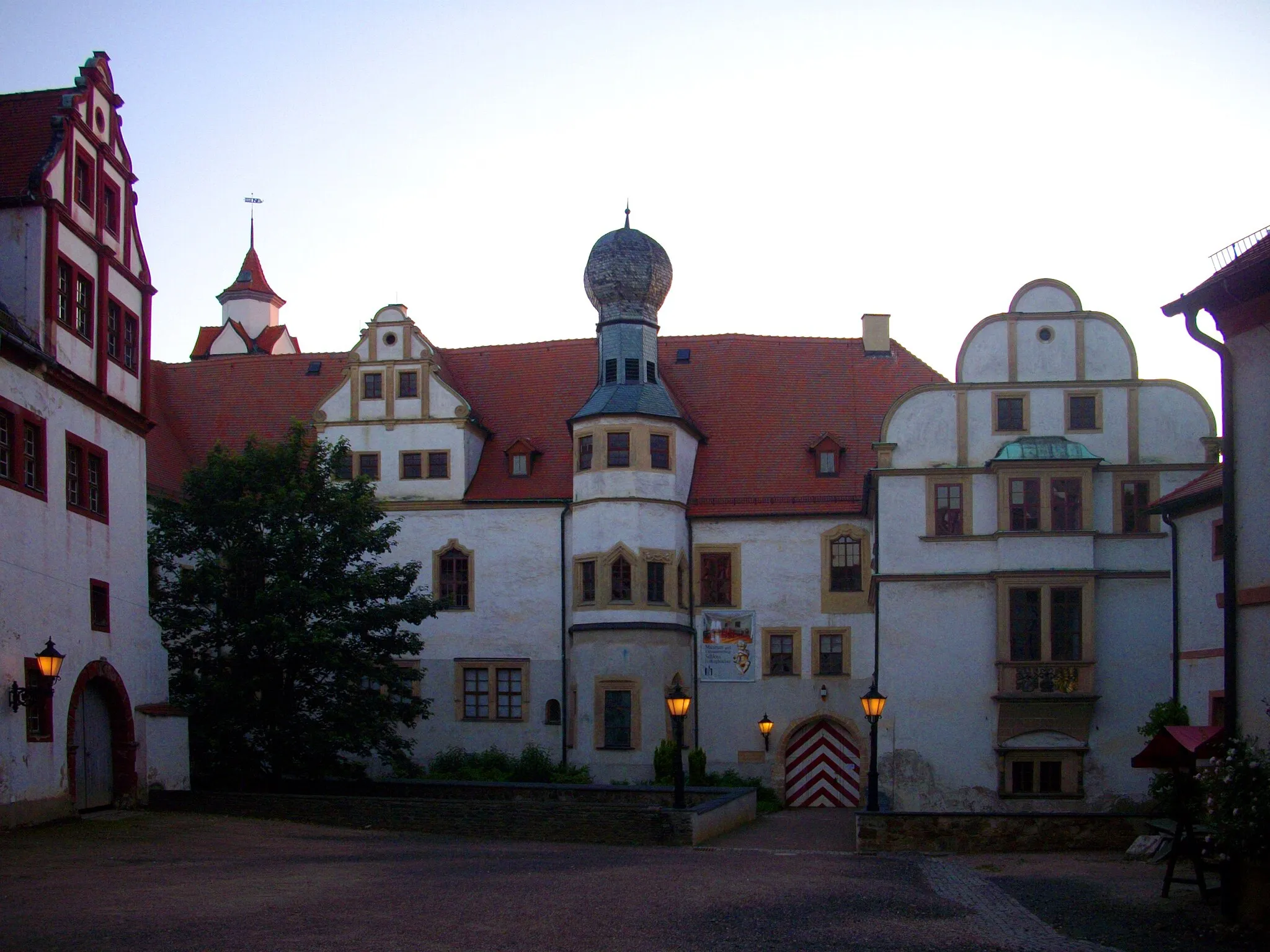
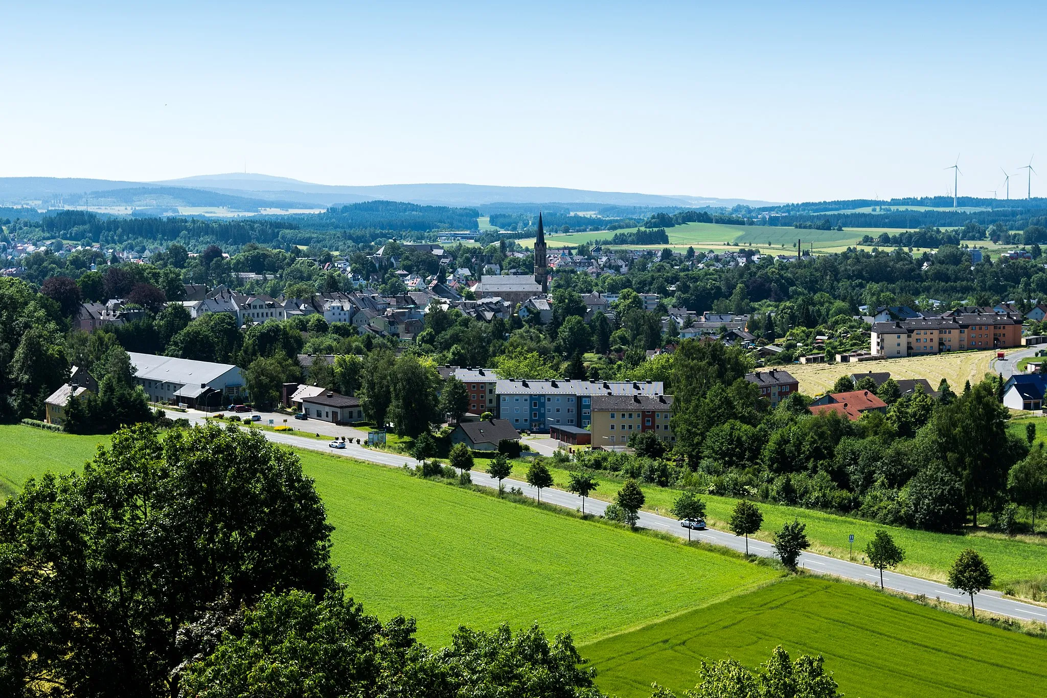
Münchberg, situated in Germany's Oberfranken region, provides a captivating cycling experience. The locality offers well-paved roads, perfect for road cyclists. Gravel enthusiasts will also find plenty of off-road paths to explore. Cyclists in Münchberg can challenge themselves on the famous Frankencross cyclocross race route. This cycling-friendly area deserves a ranking of 4.
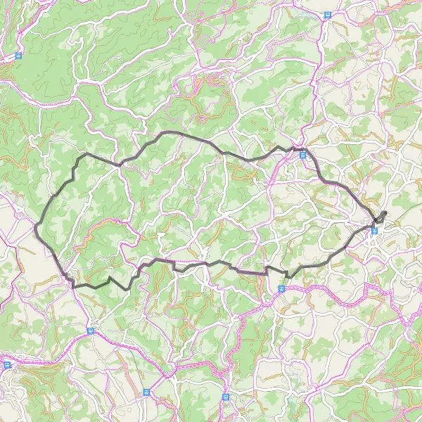
Discover the stunning beauty of the region on this challenging road cycling route near Münchberg.
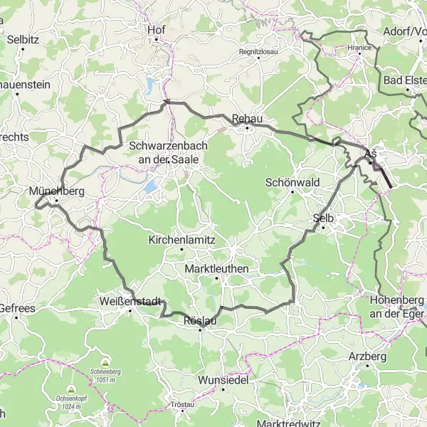
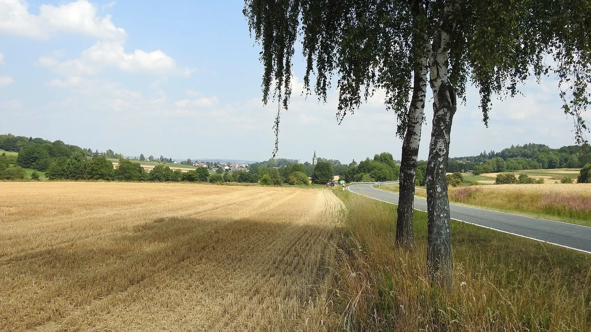
Prepare for a demanding and breathtaking experience on the Hills and Valleys route near Münchberg. With 1,248 meters of elevation gain, this 100-kilometer road cycling route takes you through rolling hills and pristine valleys. Highlights along the way include the scenic Höferberg, the picturesque Oberpferdt, and the challenging Štítarský vrch climb. Admire the idyllic countryside charms of Neuhausen and enjoy the serenity of Röslau. Finally, conquer the Thusfall summit and take in the stunning panoramic views. This route is only recommended for well-trained cyclists seeking a formidable challenge. Difficulty: 5, Epicness: 4.
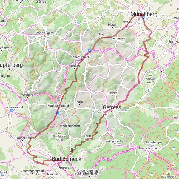
Münchberg Circle
Conquer several challenging hills and enjoy scenic views along this road cycling route near Münchberg.
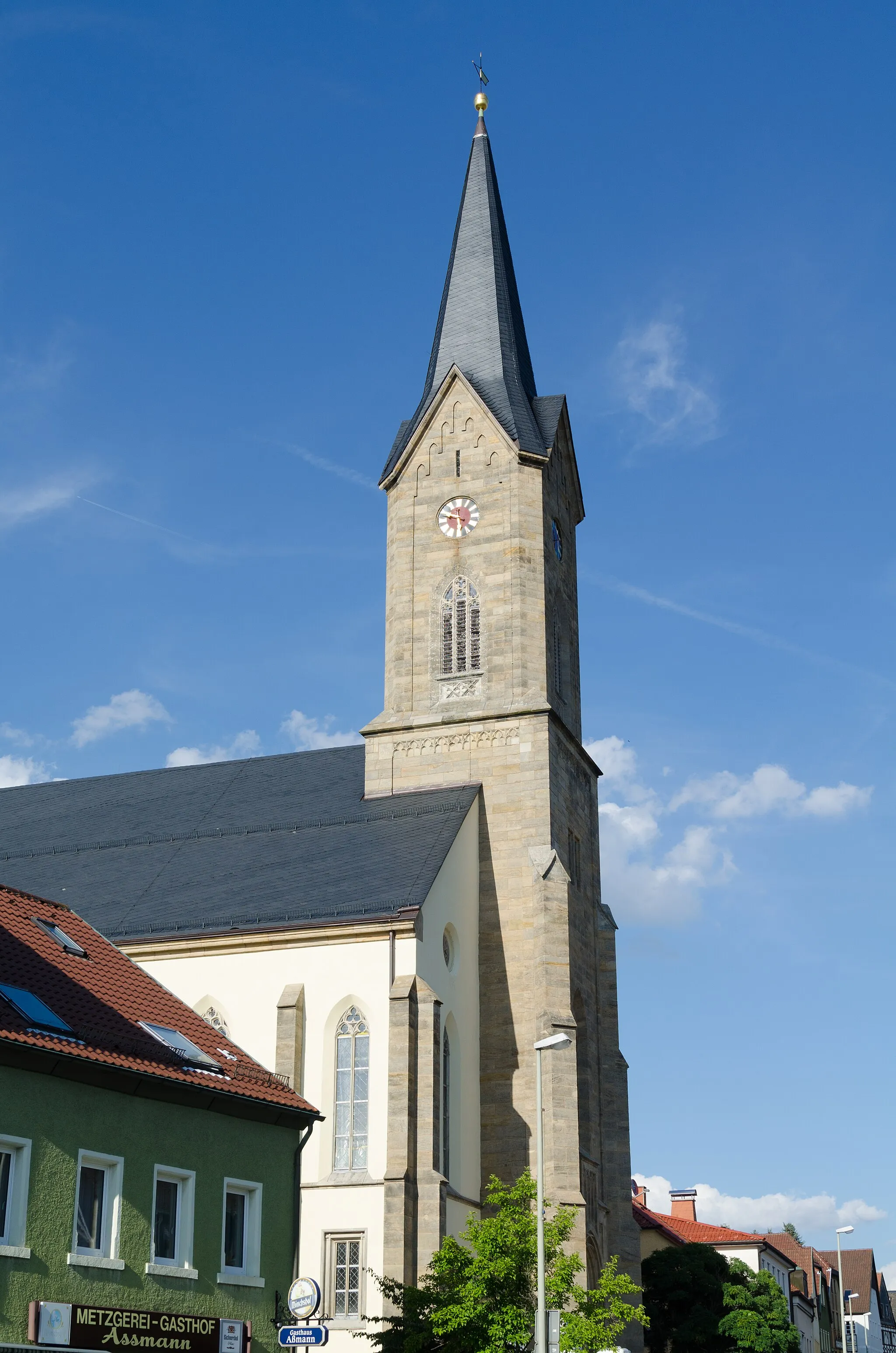
The Münchberg Circle is a challenging road cycling route that takes you through picturesque landscapes with rolling hills and scenic views. Starting in Münchberg, you will tackle several notable climbs, including Goppelshöhe, Rauhenberg, and Kollerhammer. These ascents will test your stamina and provide awe-inspiring panoramic vistas. As you ride through the route, you will also pass by historical landmarks, such as the Kriegerdenkmal/Rohrbühl monument and the old Schnappenhammer ironworks. This 78-kilometer route with 1,282 meters of elevation gain is perfect for experienced cyclists seeking a challenging and rewarding ride. Difficulty: 4, Epicness: 3.
Embark on an epic road cycling adventure through the scenic Münchberg region.
Get ready for an epic road cycling journey through the stunning Münchberg region. With a distance of 137 kilometers and 2192 meters of ascent, this route offers a challenging yet rewarding experience. Along the way, you'll encounter breathtaking natural landscapes and pass through historic villages. From the imposing Ilsestein to the picturesque Langenbach, each highlight will leave you in awe. The Münchberg Epic Road Cycling Route is perfect for experienced cyclists seeking a legendary challenge.
The Röslau Countryside Ride
Experience the picturesque countryside along the Röslau River on this scenic road cycling route.
Explore the idyllic countryside along the Röslau River on this leisurely road cycling route. With a distance of 65 kilometers and 942 meters of ascent, this route offers a mix of flat and rolling terrain, perfect for enjoying the beautiful landscapes of the region. From the enchanting beauty of Röslau to the charming village of Weißdorf, every kilometer will fill you with joy and tranquility. The Röslau Countryside Ride is ideal for cyclists of all skill levels looking for a peaceful and scenic adventure.
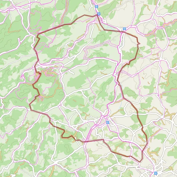
Off the Beaten Path
Venture into the wilderness on this adventurous gravel cycling loop near Münchberg.
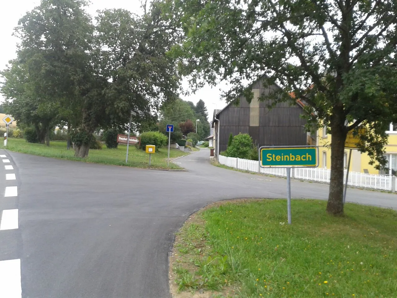
Explore the hidden gems and remote trails of the region on the Off the Beaten Path gravel cycling route near Münchberg. This 59-kilometer loop takes you through scenic landscapes and off-road tracks, providing a thrilling adventure for gravel enthusiasts. Highlights include the tranquil surroundings of Blosenberg, the mysterious Wackelstein, and the panoramic views from Buchberg. Discover the picturesque charm of Fichtenhammer and enjoy the natural beauty of Großer Waldstein. With 1,001 meters of elevation gain, this route is suited for riders who are comfortable on challenging terrain. Difficulty: 4, Epicness: 3.
Embark on a thrilling off-road adventure through scenic gravel trails in the vicinity of Münchberg.
Immerse yourself in nature and explore lesser-known paths while riding the Gravel Adventure route near Münchberg. This 57-kilometer gravel trail takes you through picturesque landscapes and small villages. Highlights along the route include Mechlenreuth, known for its idyllic surroundings, Burgruine Grünstein, an impressive castle ruin with panoramic views, and Lindenfels, famous for its beautiful Kolonnade. Take a moment to admire the tranquil atmosphere and immerse yourself in the beauty of the region. With 895 meters of elevation gain, this route provides a moderate challenge suitable for gravel cycling enthusiasts. Difficulty: 3, Epicness: 2.

Enjoy breathtaking views of the Fichtelgebirge on this scenic gravel route.
Embark on a picturesque gravel tour through the Fichtelgebirge region. With a distance of 28 kilometers and 350 meters of ascent, this route offers stunning views of the surrounding mountains and forests. Along the way, you'll pass through quaint villages and have the opportunity to explore hidden gems in the area. Whether you're a beginner or an experienced gravel cyclist, the Fichtelgebirgsblick tour promises a memorable adventure.
Experience the tranquility of the countryside on this scenic road cycling route near Münchberg.
Escape the hustle and bustle of city life and immerse yourself in the serene countryside vistas along the Countryside Escape road cycling route near Münchberg. This 64-kilometer route with 1,024 meters of elevation gain takes you through charming villages and peaceful forested areas. Highlights include the idyllic Weickenreuth, the panoramic views from Hainberg, and the historic streets of Presseck. Take a moment to enjoy the tranquility of Oberweißenbach and reflect on the history at the Kriegerdenkmal/Rohrbühl monument. This route is suitable for cyclists seeking a peaceful and rejuvenating ride. Difficulty: 3, Epicness: 2.
The Wüstenselbitz Gravel Ride

Explore the scenic Wüstenselbitz region on this challenging gravel route.
Experience the beautiful landscape of Wüstenselbitz on this challenging gravel ride. With a total distance of 52 kilometers and 866 meters of ascent, this route takes you through picturesque villages and offers stunning views along the way. The Wüstenselbitz area is known for its diverse terrain and rich history, making it an ideal destination for gravel enthusiasts.
The Naila Adventure Ride
Embark on an adventurous gravel ride through the beautiful Naila region.
Experience the thrill of gravel riding in the Naila region. This challenging route covers 51 kilometers and includes 951 meters of ascent, taking you through diverse terrain and picturesque landscapes. Naila is known for its historic architecture and cultural heritage, offering a unique cycling experience. Get ready to push your limits and discover hidden gems along the way.
Cycling routes nearby:


Nearby regions: