The Röslau Countryside Ride
A road cycling route starting from Munchberg
Experience the picturesque countryside along the Röslau River on this scenic road cycling route.
Map
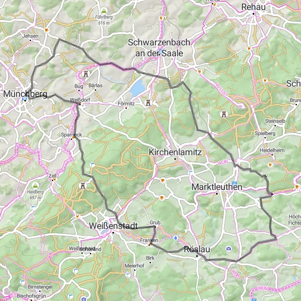
Explore the idyllic countryside along the Röslau River on this leisurely road cycling route. With a distance of 65 kilometers and 942 meters of ascent, this route offers a mix of flat and rolling terrain, perfect for enjoying the beautiful landscapes of the region. From the enchanting beauty of Röslau to the charming village of Weißdorf, every kilometer will fill you with joy and tranquility. The Röslau Countryside Ride is ideal for cyclists of all skill levels looking for a peaceful and scenic adventure.
road
65 km
942 m
Chill
Route profile
Highlights on the route
0 km
0 km
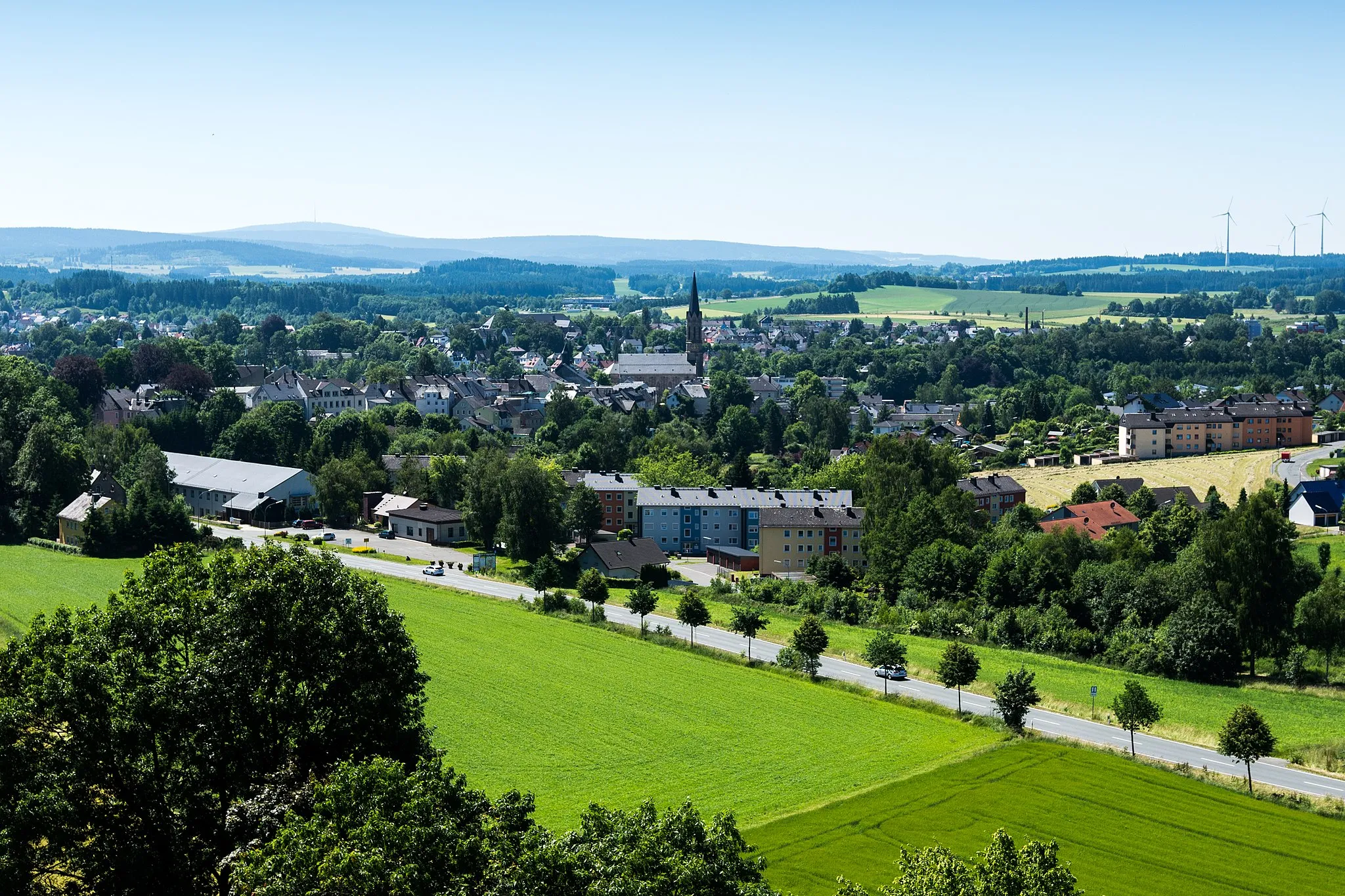
Start: Münchberg City centerMünchberg: A gem for road and gravel cyclists
Münchberg, situated in Germany's Oberfranken region, provides a captivating cycling experience. The locality offers well-paved roads, perfect for road cyclists. Gravel enthusiasts will also find plenty of off-road paths to explore. Cyclists in Münchberg can challenge themselves on the famous Frankencross cyclocross race route. This cycling-friendly area deserves a ranking of 4.0 km
0 km
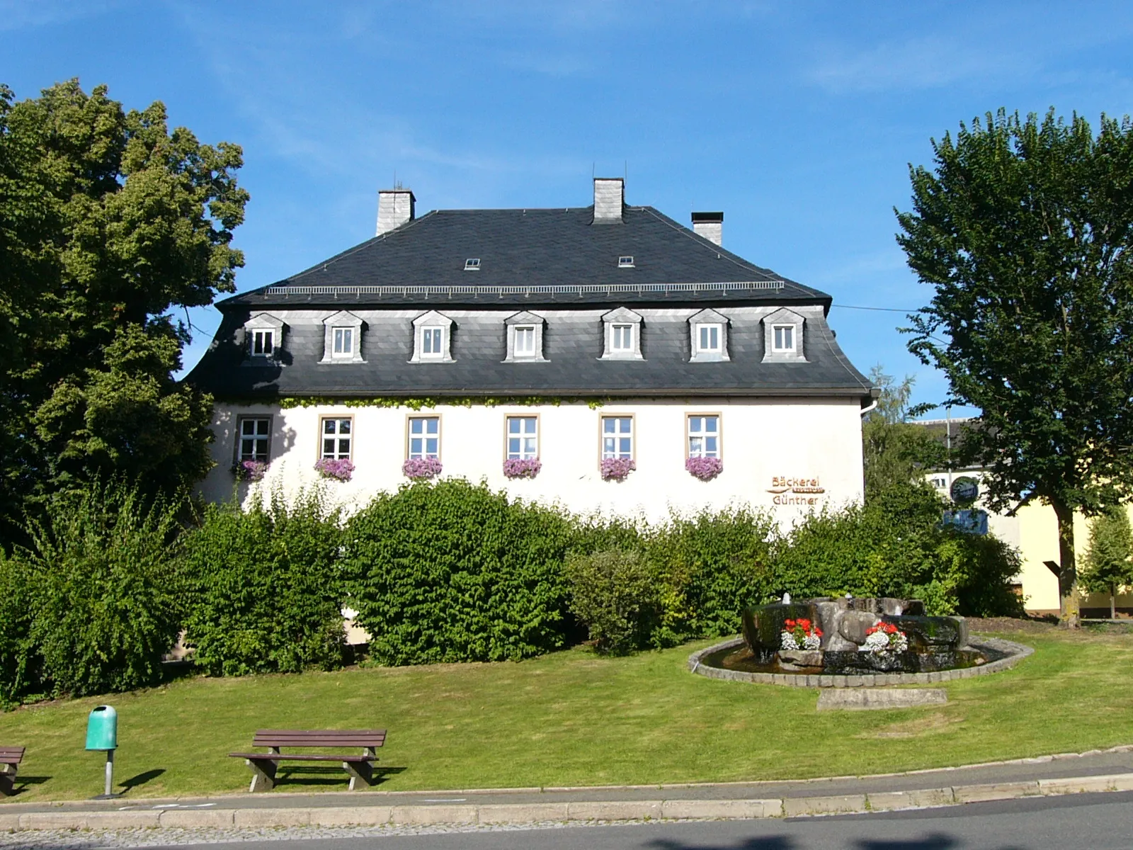
MünchbergTownStart your journey in Münchberg, a cycling hotspot known for its breathtaking routes and vibrant cycling community.
11 km
11 km
Blosenberg547 mPeakAdmire the awe-inspiring Blosenberg, a hill offering stunning panoramic views of the surrounding countryside.
18 km
18 km
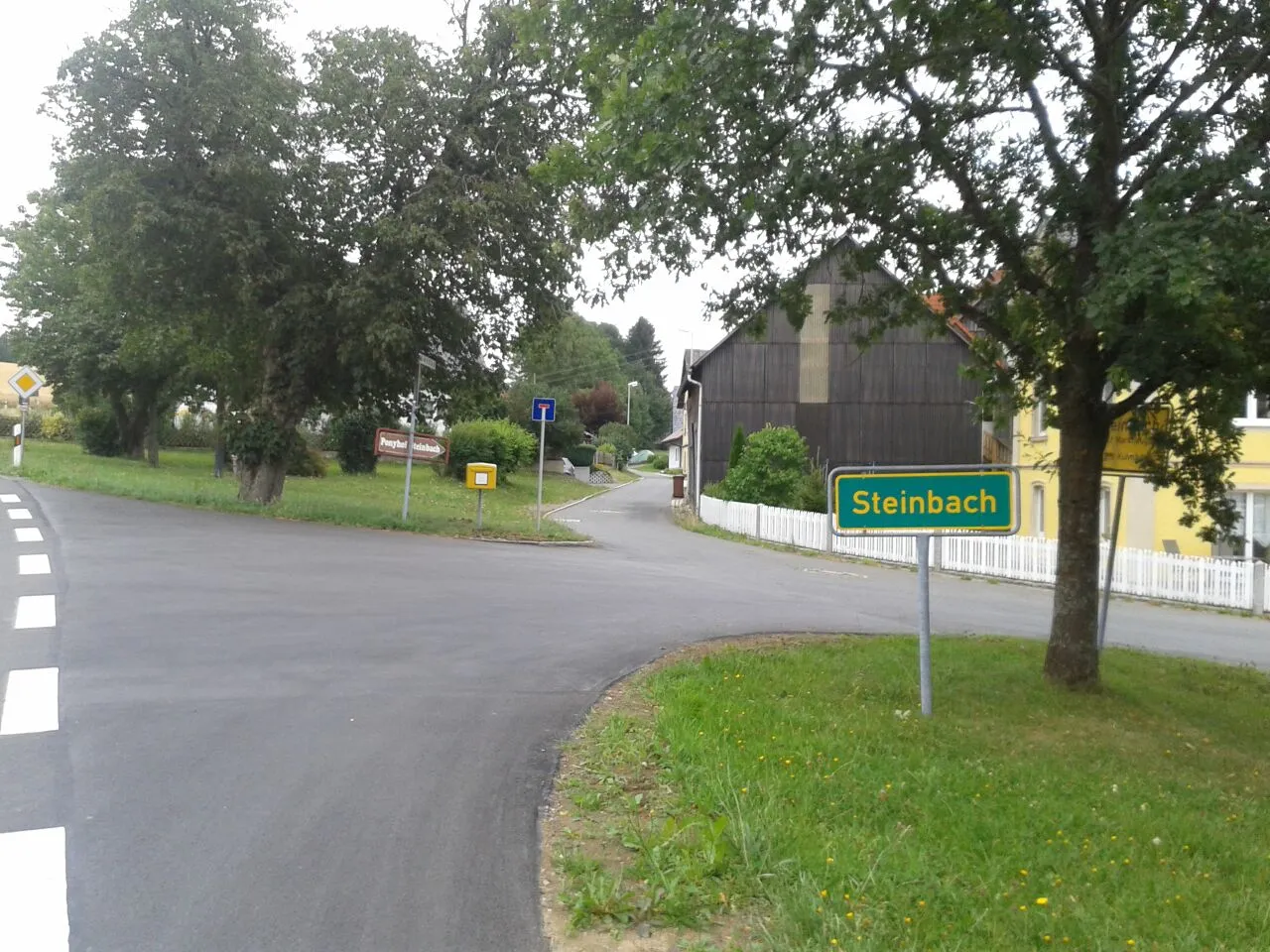
FahrenbühlHamletPass through Fahrenbühl and enjoy the peaceful atmosphere of this quaint village.
22 km
22 km
Wellersberg635 mPeakClimb the challenging Wellersberg and be rewarded with magnificent views of the Röslau River.
41 km
41 km
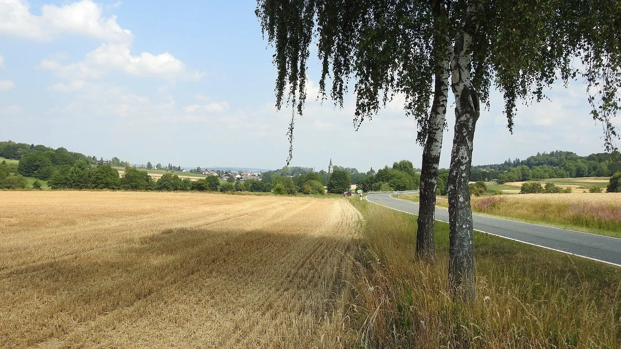
RöslauTownExplore the charming village of Röslau and learn about its history as a former trading settlement.
41 km
41 km
ZwölfgipfelblickViewpointCapture breathtaking views from the Zwölfgipfelblick viewpoint, offering glimpses of the surrounding peaks.
46 km
46 km
GrubVillageVisit Grub and experience its rural charm, characterized by lush meadows and traditional farmhouses.
53 km
53 km
Schanze871 mPeakPass through Schanze and enjoy the tranquility of this small village surrounded by forests.
60 km
60 km
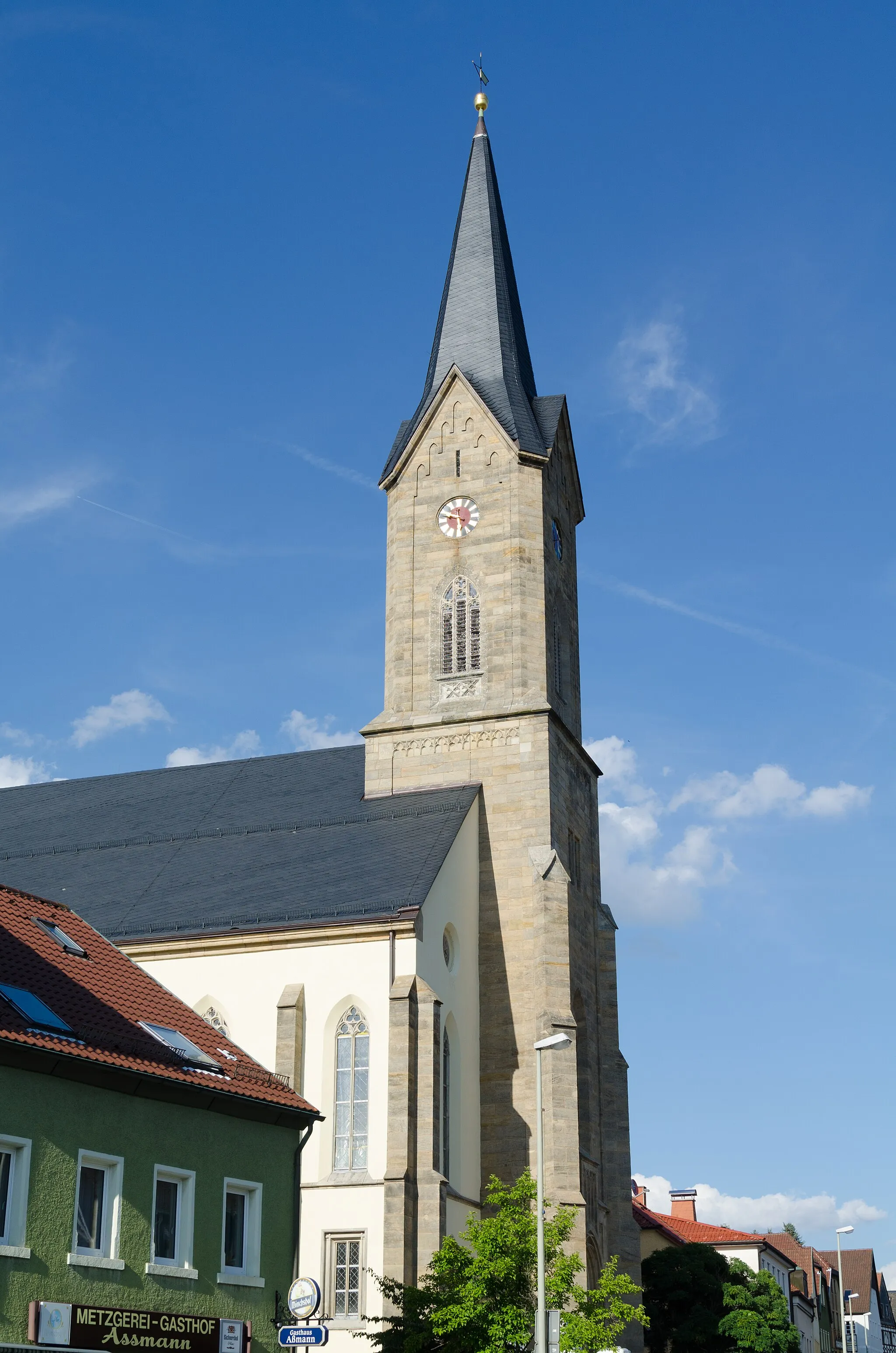
WeißdorfVillageCycle through Weißdorf and discover its rich history as a former center of trade and craftsmanship.
65 km
65 km
Finish: Münchberg City centerMünchberg: A gem for road and gravel cyclists
Cycling routes nearby: