Münchberg Circle
A road cycling route starting from Munchberg
Conquer several challenging hills and enjoy scenic views along this road cycling route near Münchberg.
Map
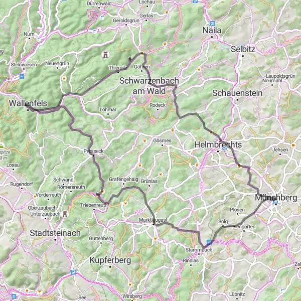
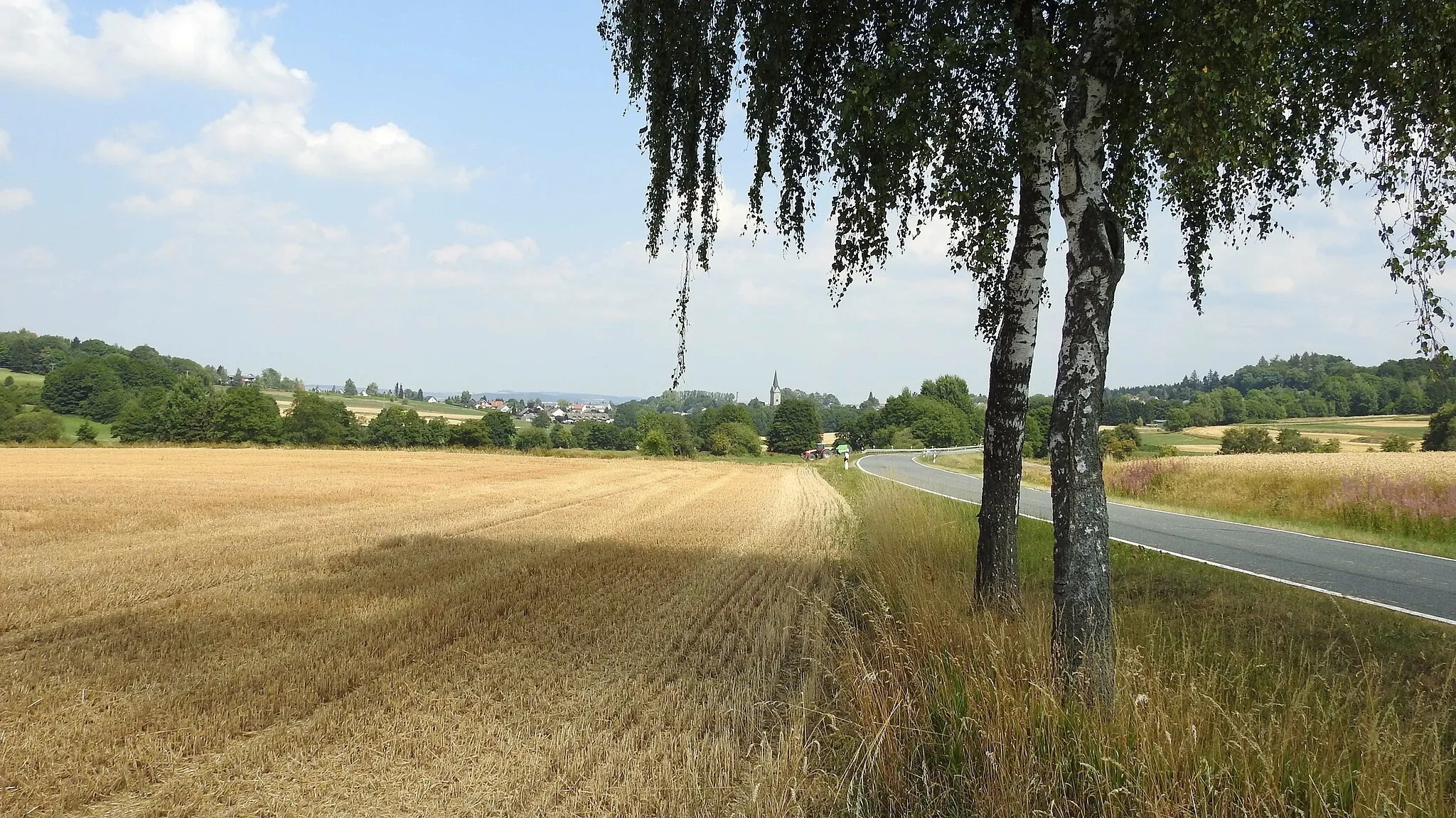
The Münchberg Circle is a challenging road cycling route that takes you through picturesque landscapes with rolling hills and scenic views. Starting in Münchberg, you will tackle several notable climbs, including Goppelshöhe, Rauhenberg, and Kollerhammer. These ascents will test your stamina and provide awe-inspiring panoramic vistas. As you ride through the route, you will also pass by historical landmarks, such as the Kriegerdenkmal/Rohrbühl monument and the old Schnappenhammer ironworks. This 78-kilometer route with 1,282 meters of elevation gain is perfect for experienced cyclists seeking a challenging and rewarding ride. Difficulty: 4, Epicness: 3.
road
78 km
1282 m
Tough
Route profile
Highlights on the route
0 km
0 km
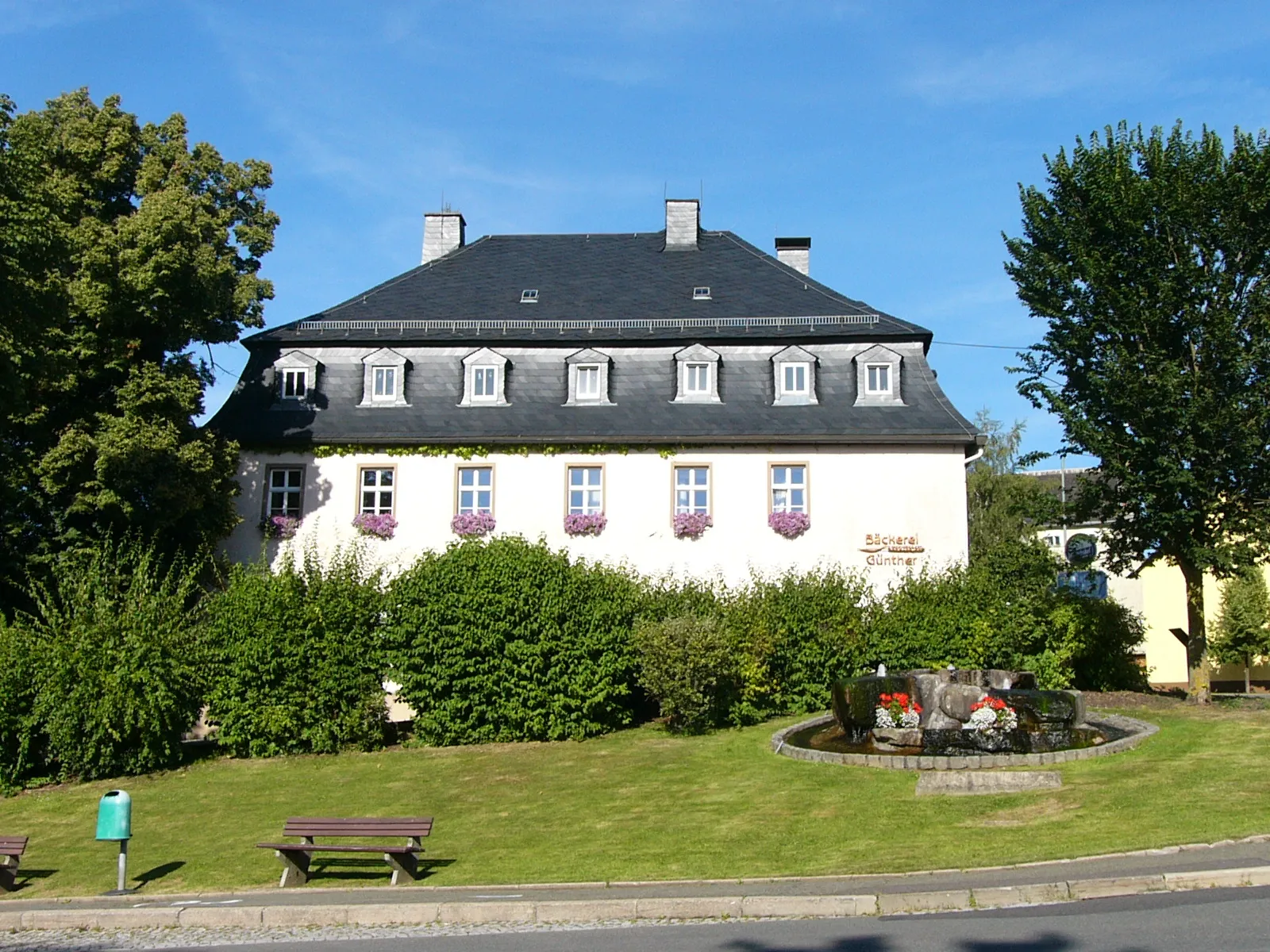
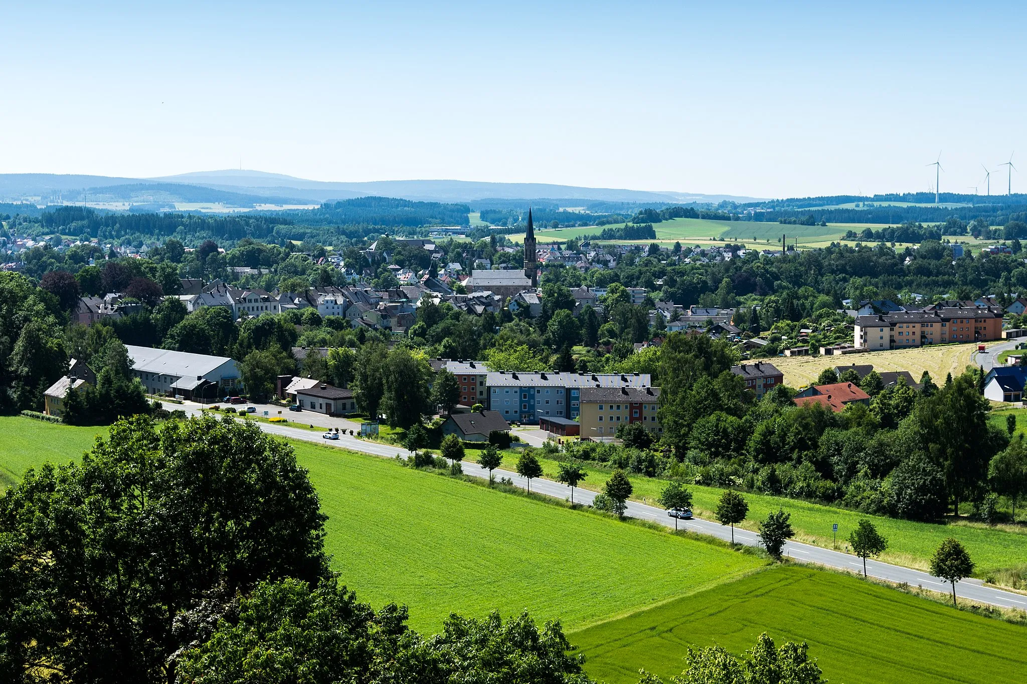
Start: Münchberg City centerMünchberg: A gem for road and gravel cyclists
Münchberg, situated in Germany's Oberfranken region, provides a captivating cycling experience. The locality offers well-paved roads, perfect for road cyclists. Gravel enthusiasts will also find plenty of off-road paths to explore. Cyclists in Münchberg can challenge themselves on the famous Frankencross cyclocross race route. This cycling-friendly area deserves a ranking of 4.8 km
8 km
Goppelshöhe616 mPeakGoppelshöhe offers striking views of the surrounding countryside.
12 km
12 km
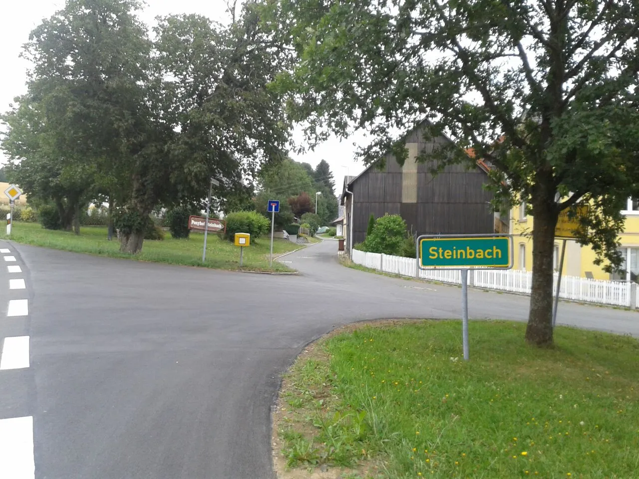
WeickenreuthVillageWeickenreuth is a quaint village with traditional half-timbered houses.
29 km
29 km
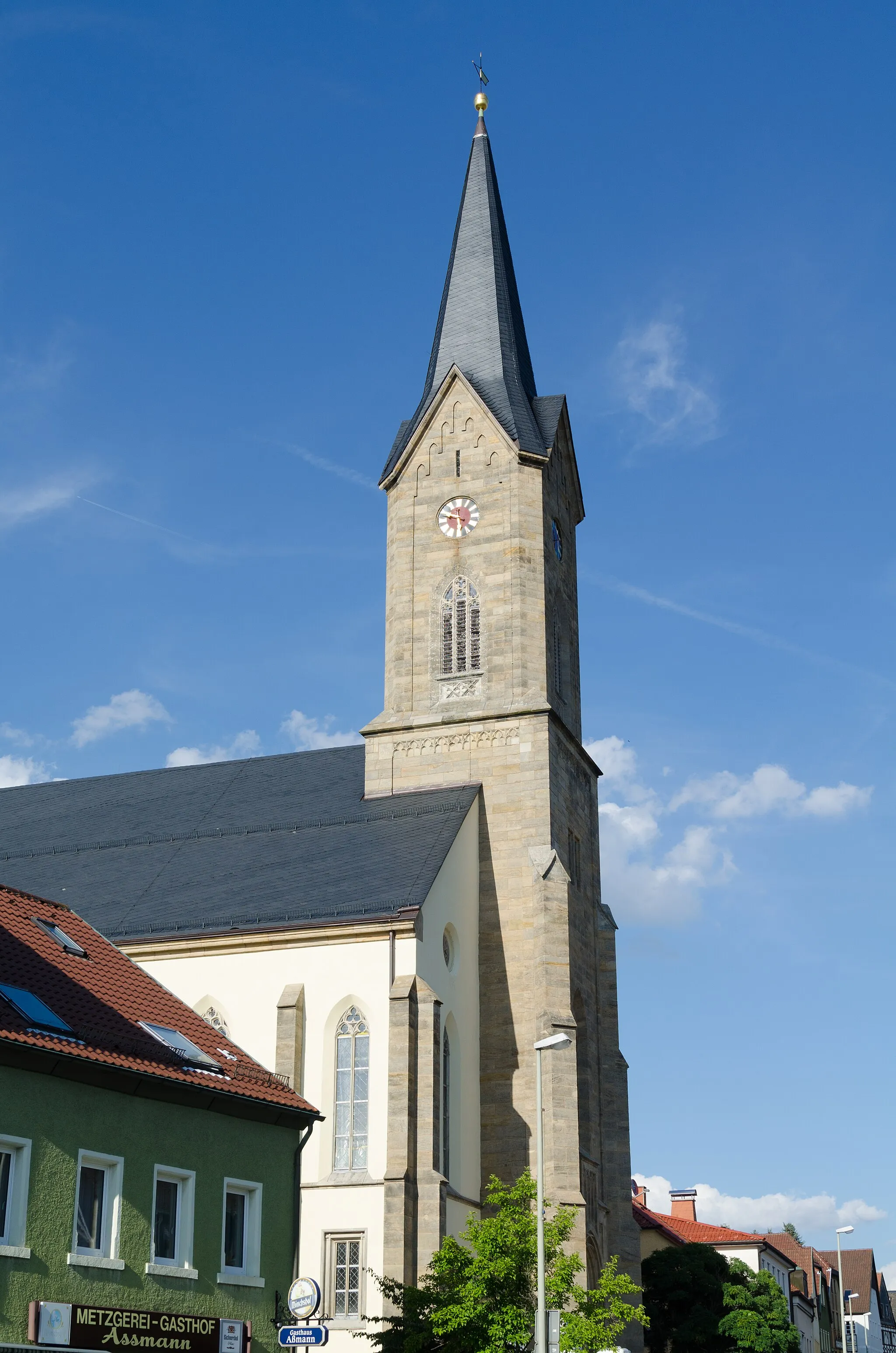
PresseckVillagePresseck is known for its charming streets and historic buildings.
40 km
40 km
Schlossberg477 mPeakSchlossberg is a medieval castle ruin with an eerie atmosphere.
45 km
45 km
SchnappenhammerVillageSchnappenhammer was once an important ironworks site in the region.
63 km
63 km
Rauhenberg706 mPeakRauhenberg offers breathtaking views from its summit.
66 km
66 km
KollerhammerVillageKollerhammer is a picturesque spot with a tranquil pond.
78 km
78 km
Kriegerdenkmal/RohrbühlViewpointThe Kriegerdenkmal/Rohrbühl monument pays tribute to fallen soldiers.
78 km
78 km
MünchbergTownMünchberg is a charming town with a rich history and vibrant culture.
78 km
78 km
Finish: Münchberg City centerMünchberg: A gem for road and gravel cyclists
Cycling routes nearby: