The Wüstenselbitz Gravel Ride
A gravel cycling route starting from Munchberg
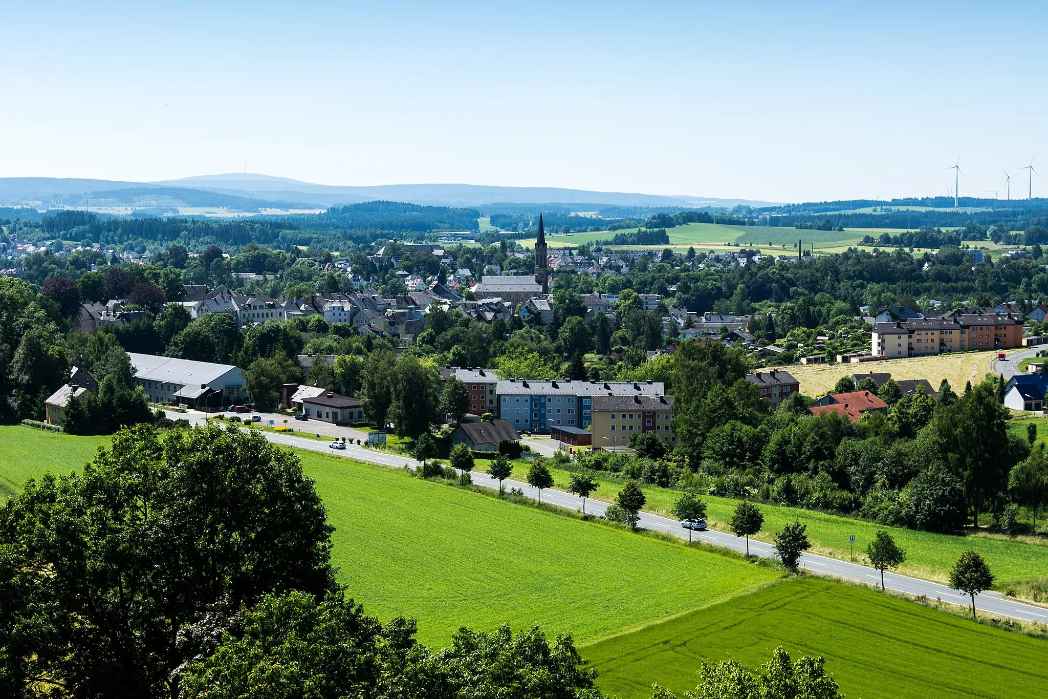
Explore the scenic Wüstenselbitz region on this challenging gravel route.
Map

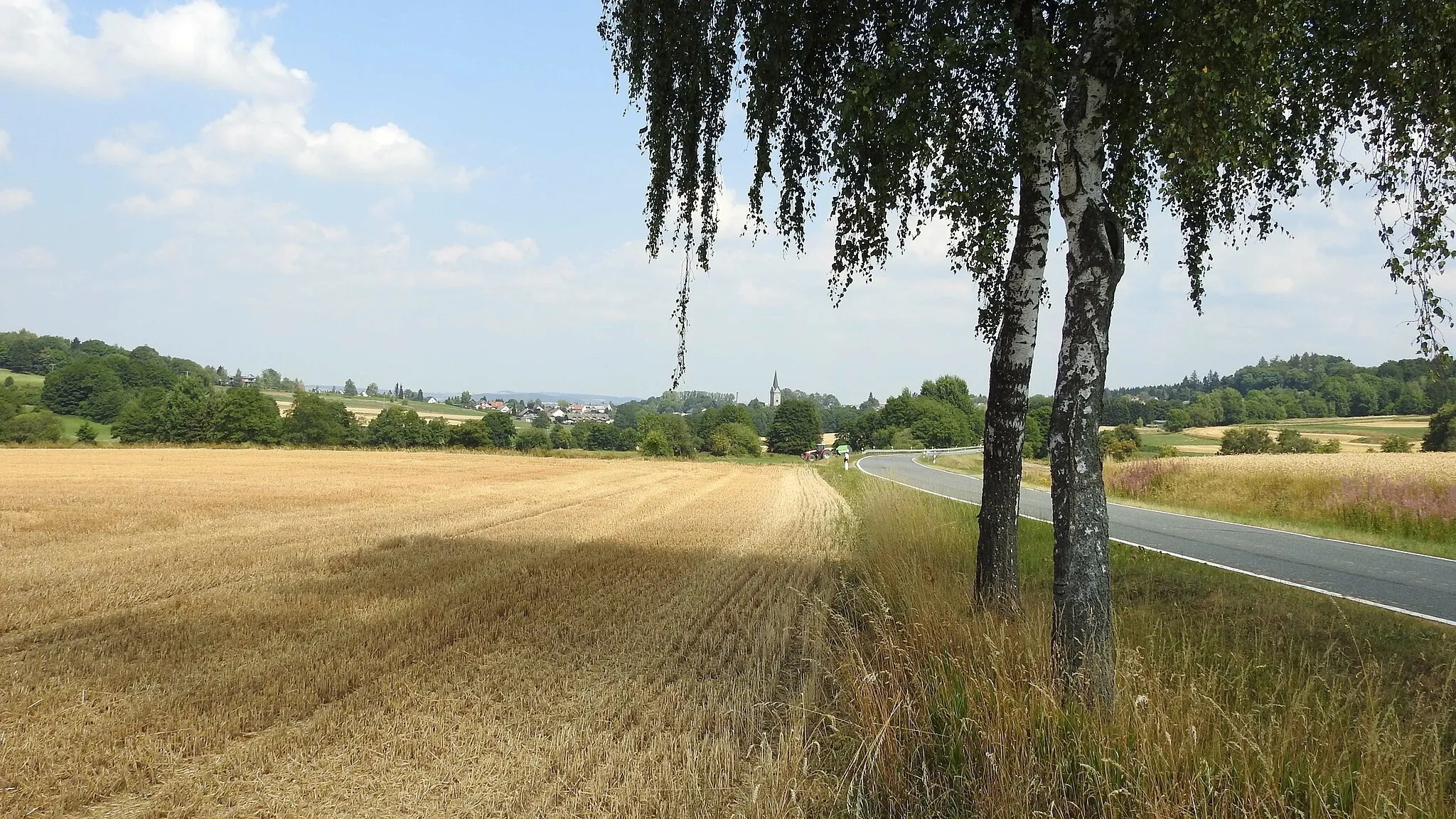
Experience the beautiful landscape of Wüstenselbitz on this challenging gravel ride. With a total distance of 52 kilometers and 866 meters of ascent, this route takes you through picturesque villages and offers stunning views along the way. The Wüstenselbitz area is known for its diverse terrain and rich history, making it an ideal destination for gravel enthusiasts.
gravel
52 km
866 m
Tough
Route profile
Highlights on the route
0 km
0 km
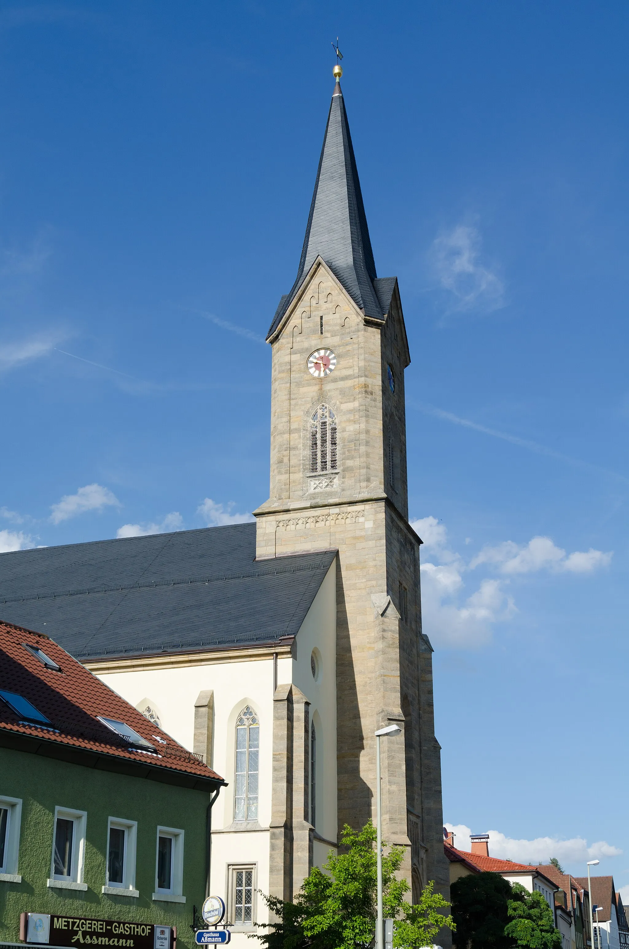
Start: Schlegel Village centerMünchberg: A gem for road and gravel cyclists
Münchberg, situated in Germany's Oberfranken region, provides a captivating cycling experience. The locality offers well-paved roads, perfect for road cyclists. Gravel enthusiasts will also find plenty of off-road paths to explore. Cyclists in Münchberg can challenge themselves on the famous Frankencross cyclocross race route. This cycling-friendly area deserves a ranking of 4.10 km
10 km
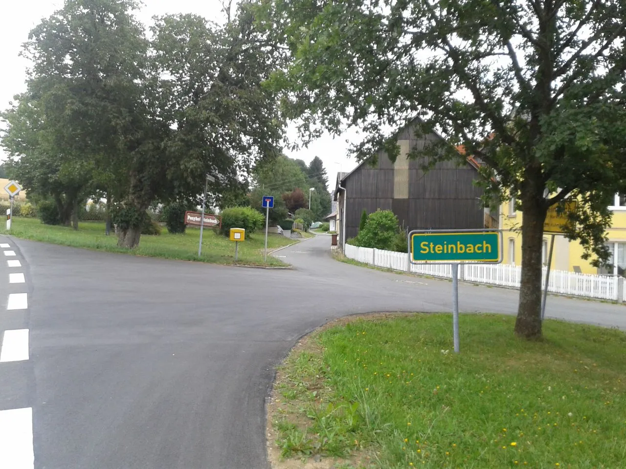
WüstenselbitzVillageDiscover the historic village of Wüstenselbitz, known for its traditional architecture and charming atmosphere.
24 km
24 km
SchwammaViewpointAdmire the Schwamma viewpoint and enjoy panoramic views of the surrounding countryside.
24 km
24 km
SchwarzensteinVillageVisit the Schwarzenstein lighthouse, a unique landmark offering breathtaking views of the region.
43 km
43 km
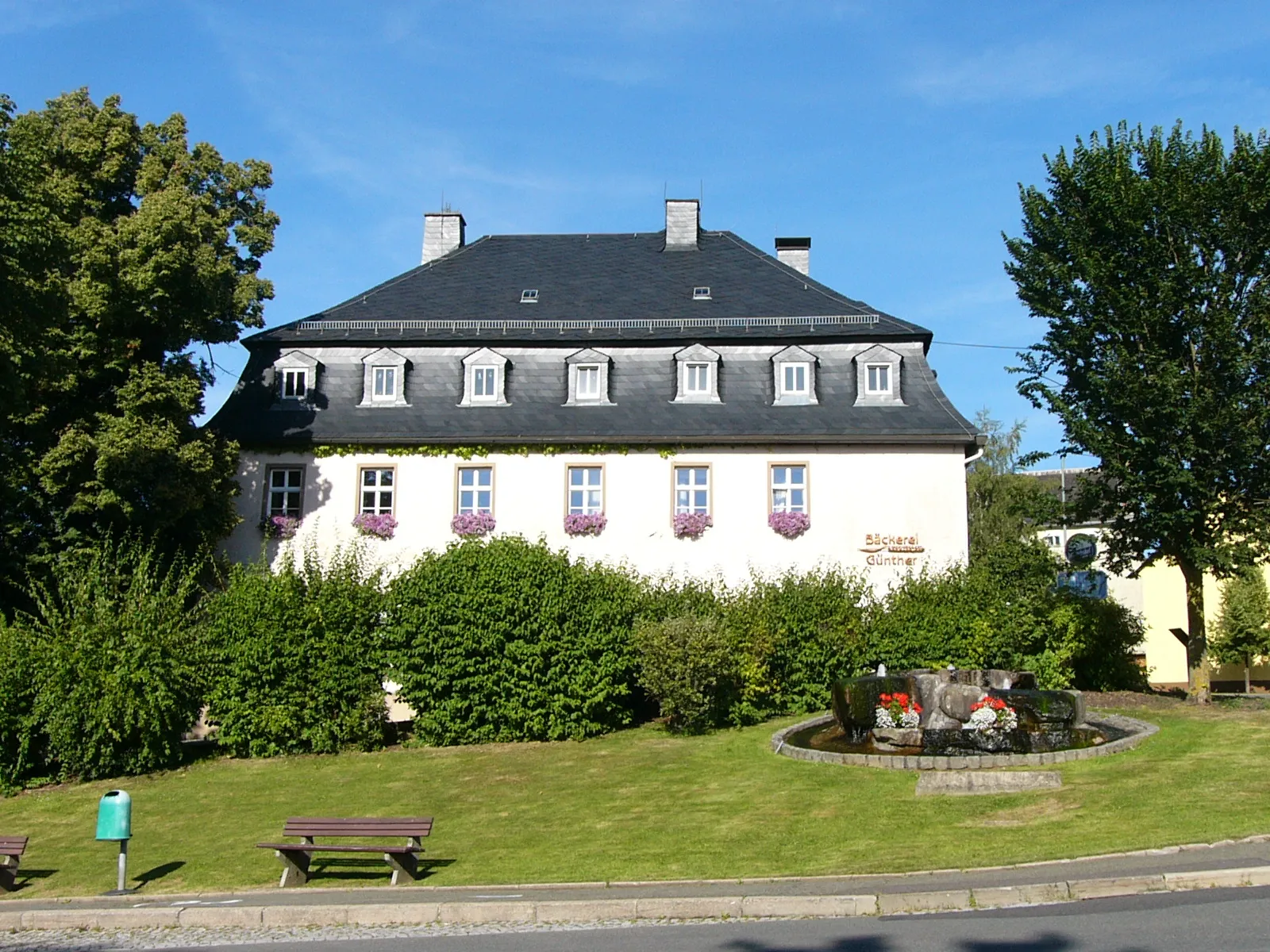
GünthersdorfHamletPass by Günthersdorf, a small village with a rich agricultural heritage and traditional farms.
48 km
48 km
LaubersreuthVillageStop at Laubersreuth, a charming village known for its well-preserved half-timbered houses.
50 km
50 km
Kriegerdenkmal/RohrbühlViewpointPay your respects at the Kriegerdenkmal/Rohrbühl memorial, honoring the fallen soldiers of the region.
52 km
52 km
Finish: Schlegel Village centerMünchberg: A gem for road and gravel cyclists
Cycling routes nearby: