The Franconian Kings Route
A road cycling route starting from Stammbach
Cycle through history along the Franconian Kings Route
Map
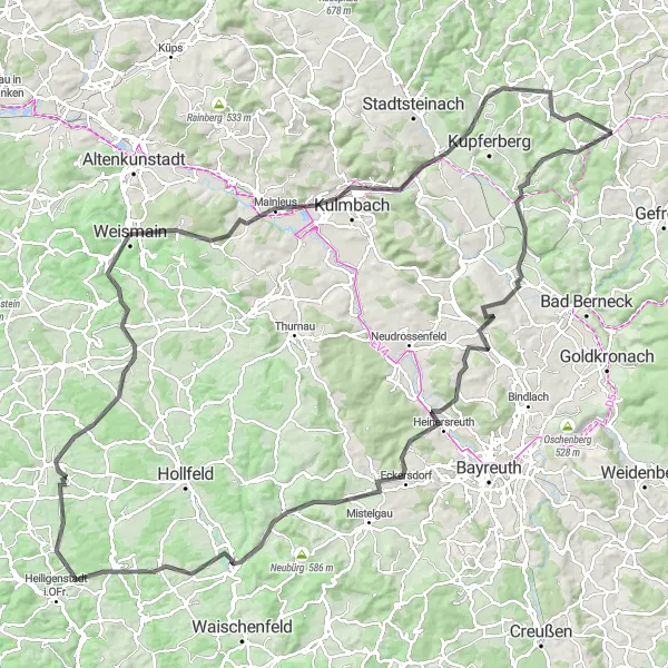
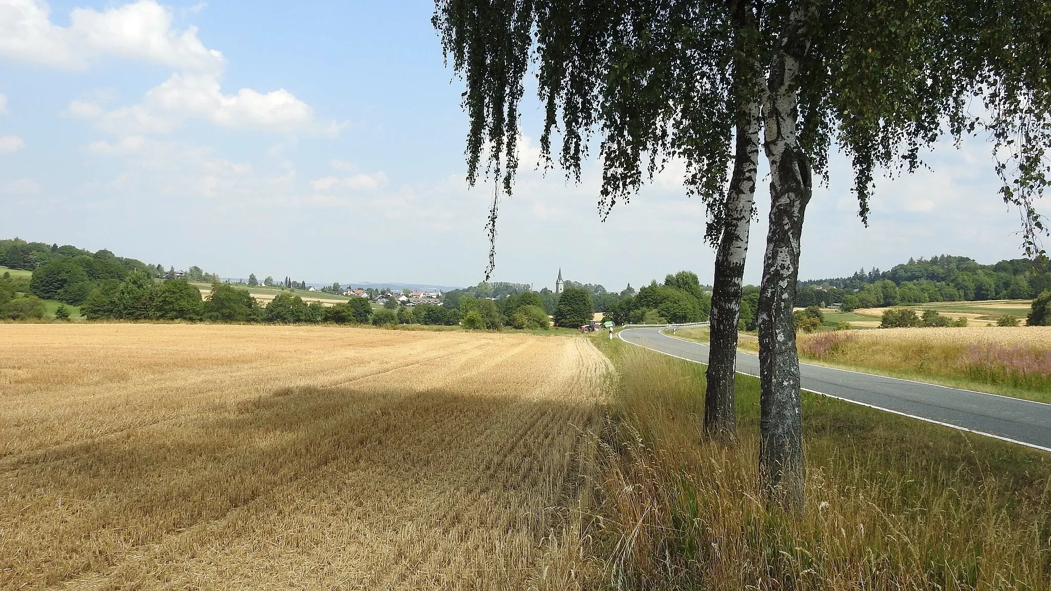
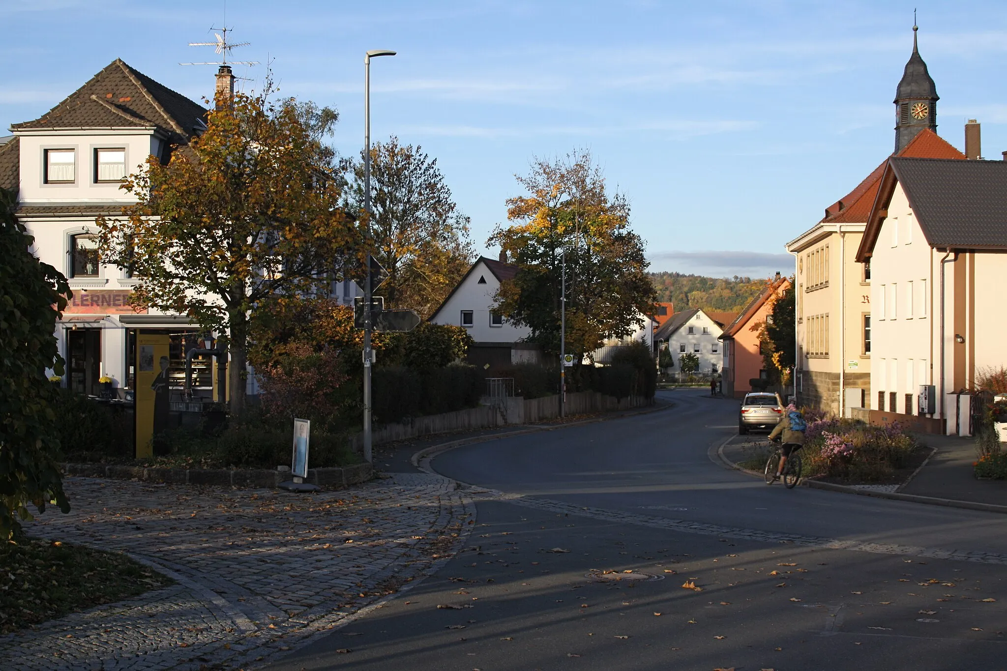
The Franconian Kings Route is a historic cycling route that offers a glimpse into the rich history of this region. With a distance of 134 km and an ascent of 1834 m, this road route takes you through picturesque landscapes, charming villages, and iconic landmarks. It is suitable for experienced cyclists and history enthusiasts alike.
road
134 km
1834 m
Tough
Route profile
Highlights on the route
0 km
0 km
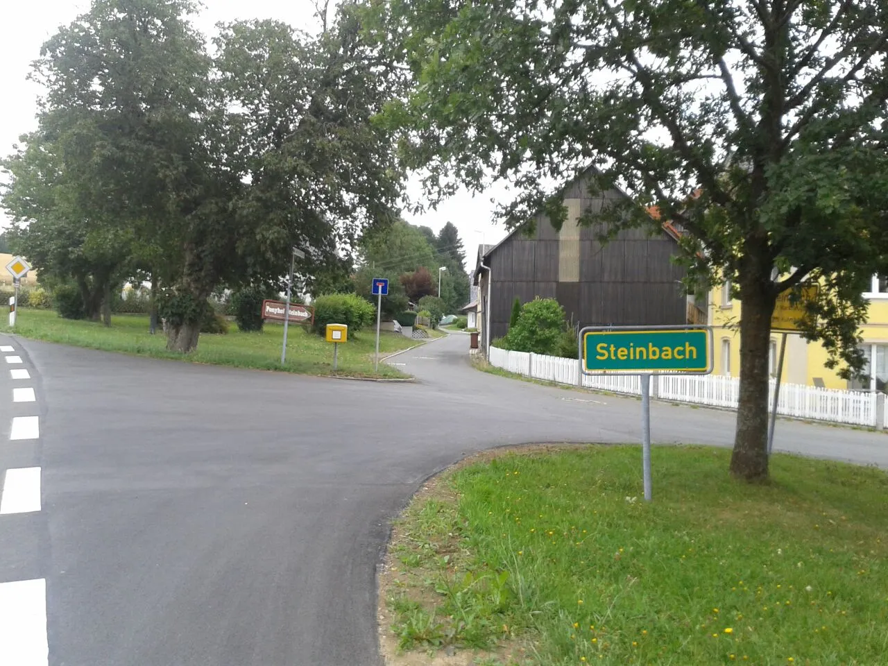
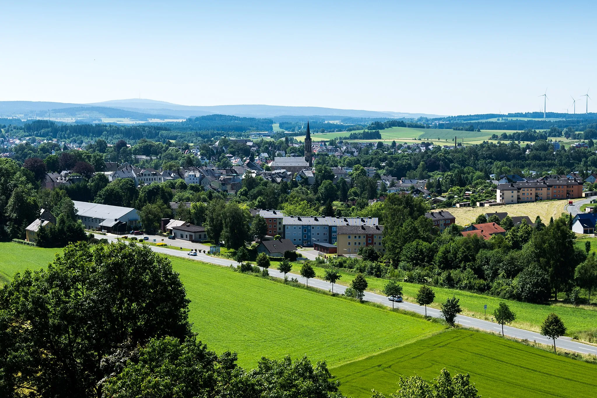
Start: Stammbach Village centerStammbach: Scenic cycling through rolling hills in Stammbach, Oberfranken.
Stammbach, located in Oberfranken, Germany, offers a range of cycling opportunities for both road and gravel cyclists. The countryside surrounding Stammbach is characterized by beautiful rolling hills and scenic landscapes, making it ideal for leisurely rides. Additionally, there are several well-maintained cycling routes that pass through the area, offering varying levels of difficulty. One notable cycling spot in the vicinity is the Thuringian Forest, known for its challenging climbs and stunning views. With its diverse cycling options and picturesque surroundings, Stammbach ranks as a solid 3.8 km
8 km
KaiserdenkmalViewpointStop by the Kaiserdenkmal, a monument dedicated to the Bavarian kings who had an impact on this region's history.
14 km
14 km
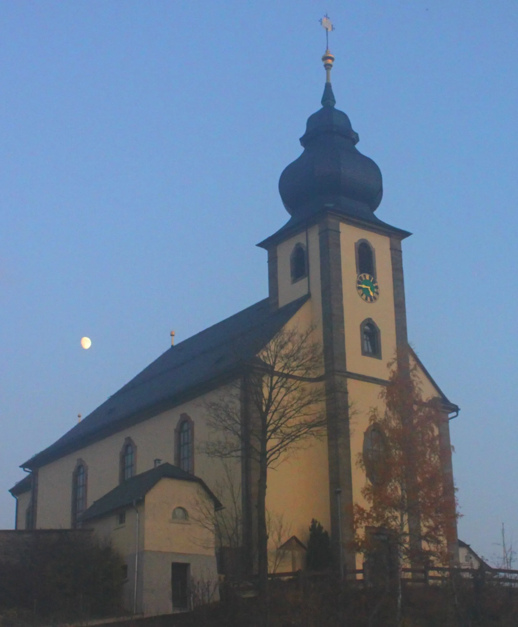
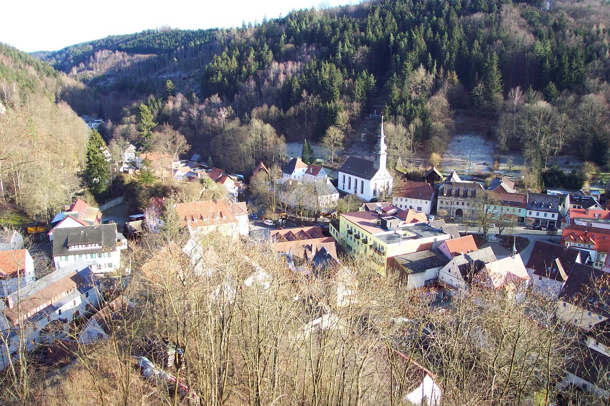
HimmelkronVillageVisit the town of Himmelkron and explore its famous monastery.
32 km
32 km
Bleyer396 mPeakPass by Bleyer, a scenic village known for its half-timbered houses and tranquil atmosphere.
37 km
37 km
EckersdorfVillageRide through the village of Eckersdorf and enjoy its charming architecture and green surroundings.
46 km
46 km
Streiter Berg482 mPeakClimb the Streiter Berg and be rewarded with stunning views of the surrounding countryside.
51 km
51 km
PlankenfelsVillageMake a pit stop in Plankenfels and admire its medieval castle ruins.
61 km
61 km
AufseßVillageExplore Aufseß, a small village known for its breweries and beer culture.
61 km
61 km
GaleriefelsenViewpointMarvel at the Galeriefelsen, a rock formation that offers breathtaking views of the surrounding nature.
73 km
73 km
KönigsfeldVillageVisit Königsfeld and discover its well-preserved medieval fortifications and beautiful old town.
92 km
92 km
Kalkberg454 mPeak ViewpointClimb the Kalkberg, a challenging ascent that offers panoramic views of the surrounding countryside.
92 km
92 km
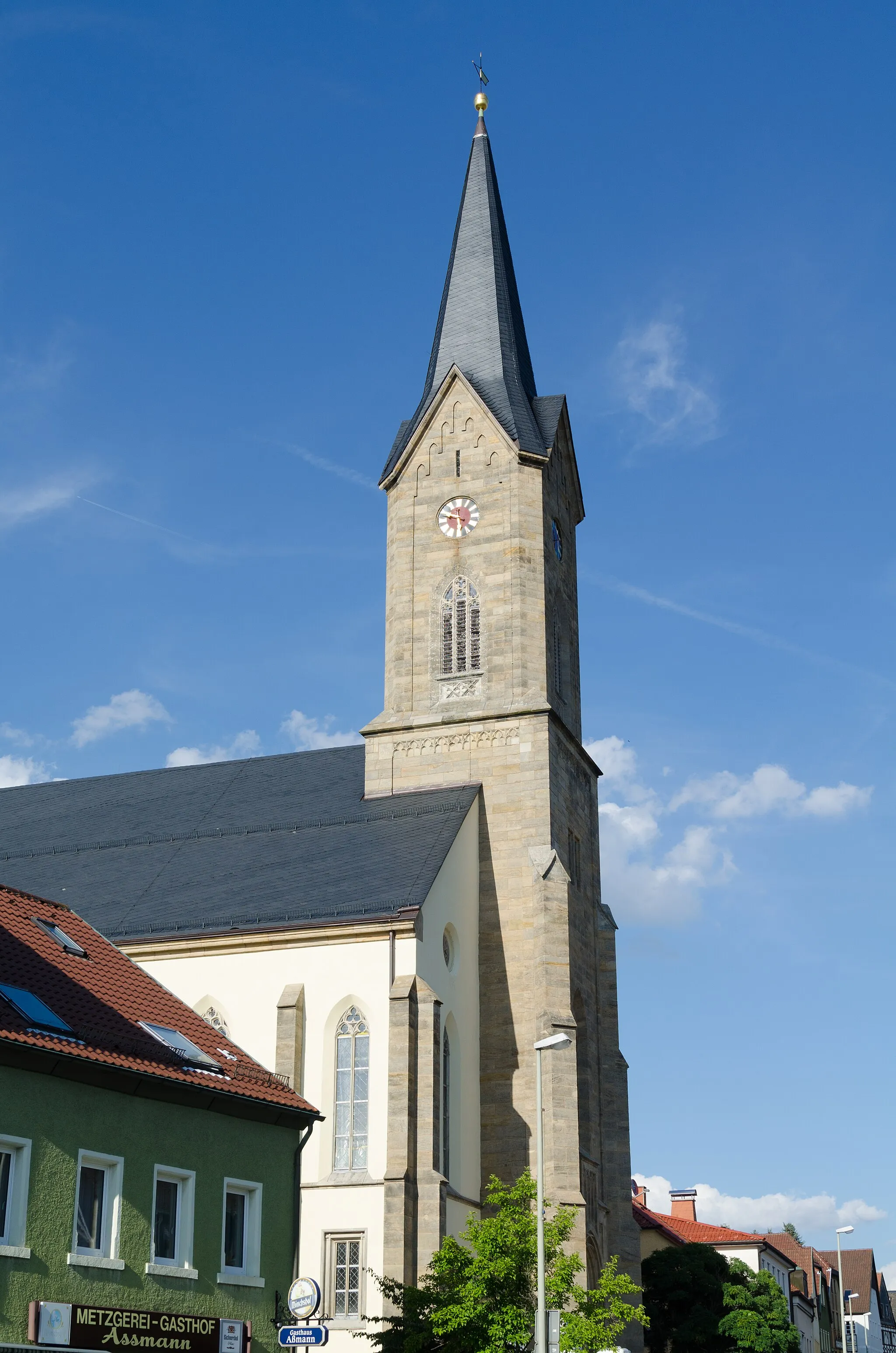
WeismainTownStop by Weismain and take a stroll through its historic center, featuring colorful half-timbered houses.
111 km
111 km
WestrondellViewpointPass through Westrondell, a peaceful hamlet known for its idyllic countryside and charming atmosphere.
116 km
116 km
UntersteinachVillageCycle through Untersteinach and discover its impressive castle, Burg Untersteinach.
127 km
127 km
MarktleugastVillageMake a stop in Marktleugast and visit its historic marketplace and medieval buildings.
134 km
134 km
Finish: Stammbach Village centerStammbach: Scenic cycling through rolling hills in Stammbach, Oberfranken.
Cycling routes from Stammbach:
Green Hills and Hidden Villages Gravel Paradise in the Fichtelgebirge Cycling through Nature and History Off the Beaten Path Gravel Adventure Historical Landmarks and Hilltop Views The Franconian Kings Route The Green Hills Route The Gravel Adventure The Wild Forests Route The Castle Trail Stammbach Gravel Loop The Franconian Heights
Cycling routes nearby: