Roßberg and Bischberg Adventure
A gravel cycling route starting from Stegaurach
Experience the thrill of exploring Roßberg and Bischberg on this epic gravel route.
Map
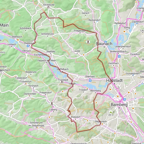
Embark on an exhilarating gravel cycling adventure starting near Stegaurach. This route offers a challenging ascent of Roßberg and takes you through the picturesque landscapes of Bischberg. With a moderate difficulty level, it is suitable for experienced amateurs. Discover the natural beauty of Walsdorf and the stunning views from the Schutzhütte Veitenstein lookout point. The Vogelberg and Semberg highlights offer unique cycling experiences for enthusiasts seeking a thrilling adventure. Prepare to be captivated by the scenic beauty and historic landmarks along the way.
gravel
70 km
883 m
Tough
Route profile
Highlights on the route
0 km
0 km
Start: Stegaurach Village centerStegaurach: Discover the charming Franconian Jura in Stegaurach, Oberfranken.
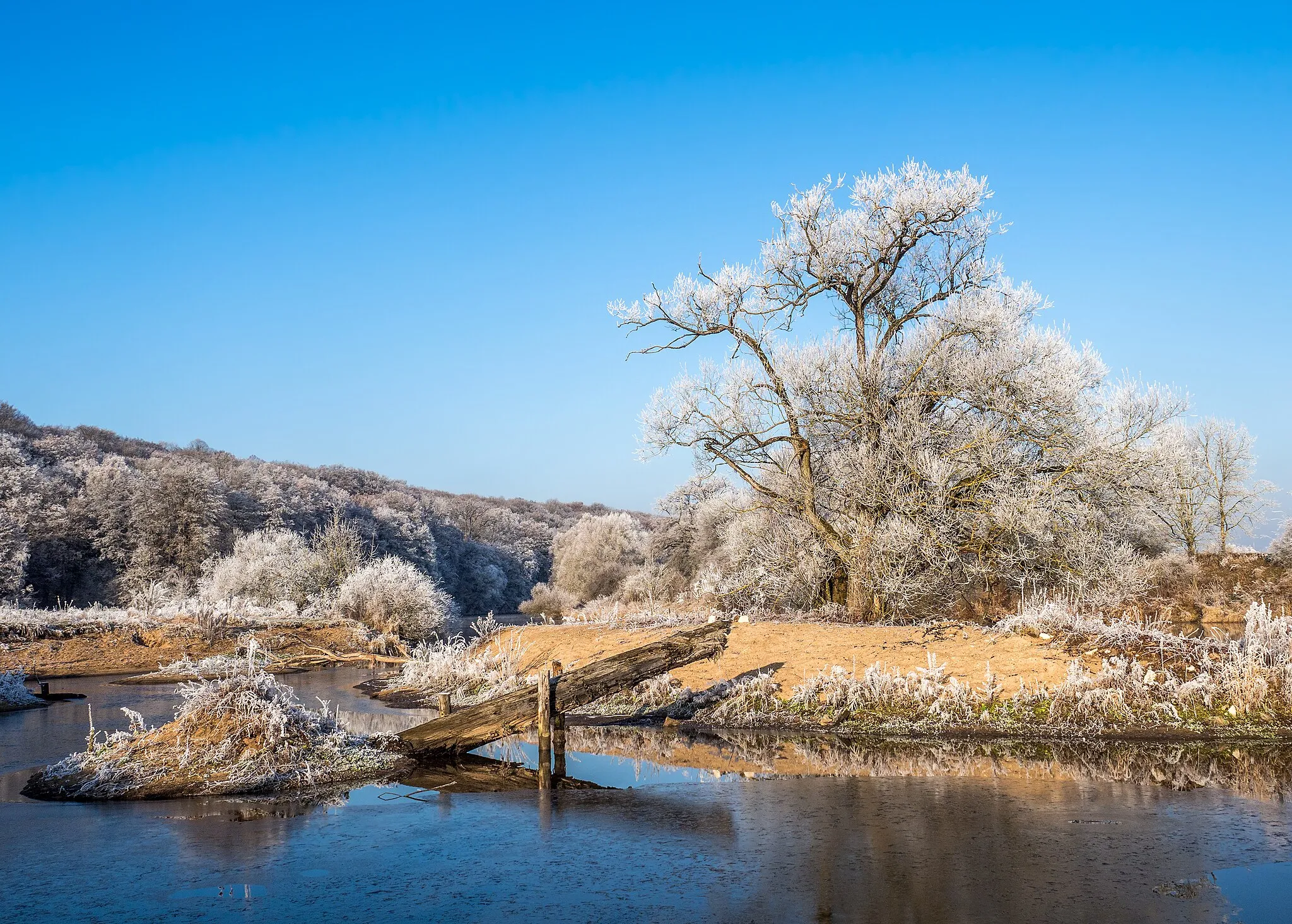
Stegaurach in Oberfranken, Germany provides a variety of cycling options with its well-paved roads and gently rolling terrain. The locality is surrounded by lush landscapes and charming Bavarian villages, creating an idyllic setting for road and gravel cycling. Cyclists can also explore the unique geological formations of the Franconian Jura nearby. Stegaurach is a delightful destination for cyclists craving scenic routes and Bavarian charm.7 km
7 km
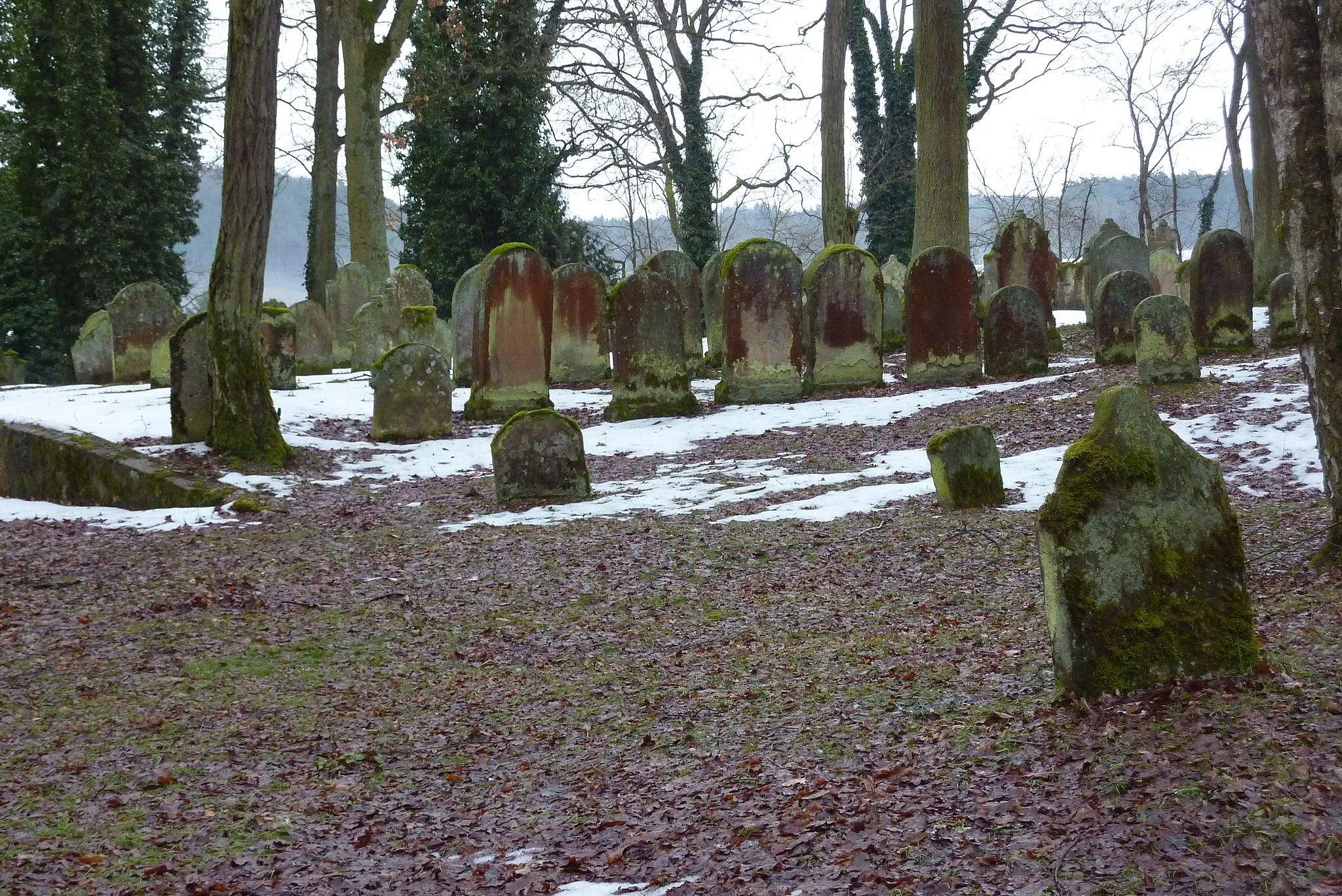
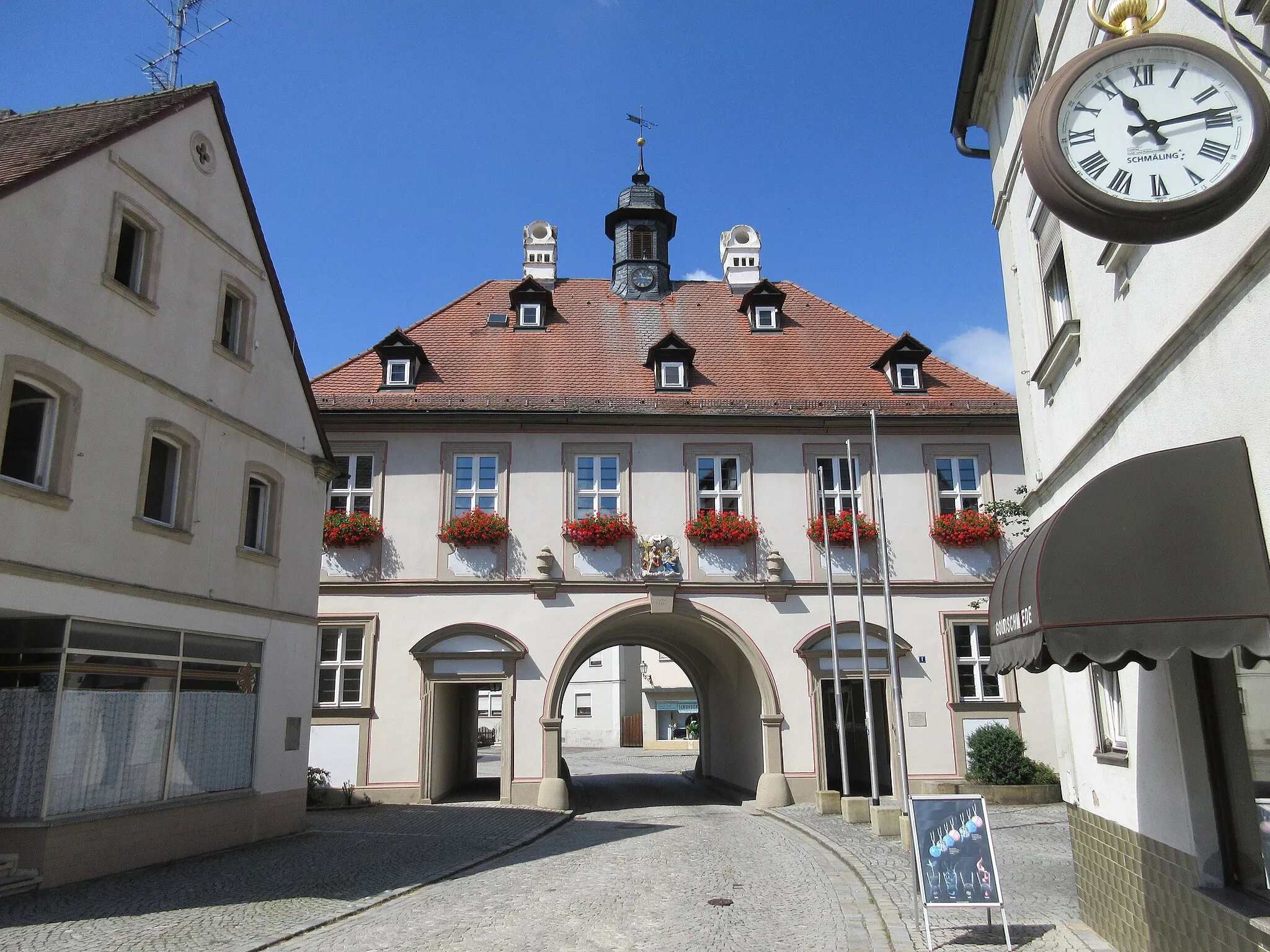
WalsdorfVillageExplore the charming village of Walsdorf.
24 km
24 km
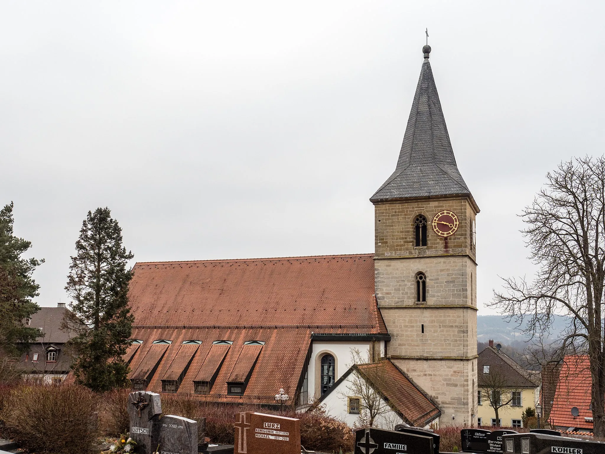
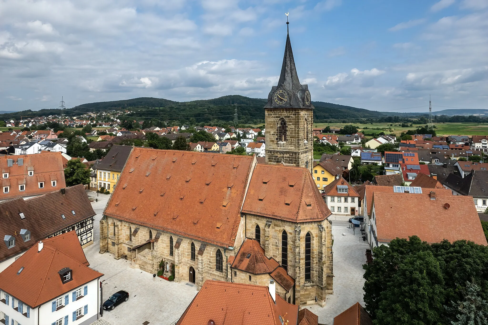
StettfeldVillageCycle through Stettfeld and admire its historical architecture.
32 km
32 km
Roßberg310 mPeakExperience the thrill of conquering the Roßberg ascent.
34 km
34 km
BreitbrunnVillageEnjoy the breathtaking views from the Breitbrunn lookout.
41 km
41 km
Schutzhütte VeitensteinShelterStop by the Schutzhütte Veitenstein lookout point for panoramic views.
54 km
54 km
Semberg398 mPeakCycle through the scenic landscapes of Semberg.
63 km
63 km
BischbergVillageExplore the historical town of Bischberg and its cultural landmarks.
65 km
65 km
Vogelberg320 mPeakVisit Vogelberg and admire its beautiful scenery.
70 km
70 km
Finish: Stegaurach Village centerStegaurach: Discover the charming Franconian Jura in Stegaurach, Oberfranken.
Cycling routes from Stegaurach:
Cycling routes nearby: