Challenging Bavarian Adventure
A road cycling route starting from Wilhelmsthal
Conquer challenging climbs and enjoy stunning panoramas on this road cycling route.
Map
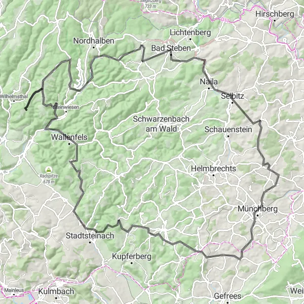
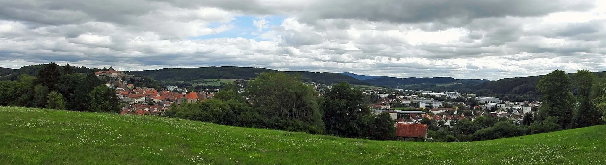
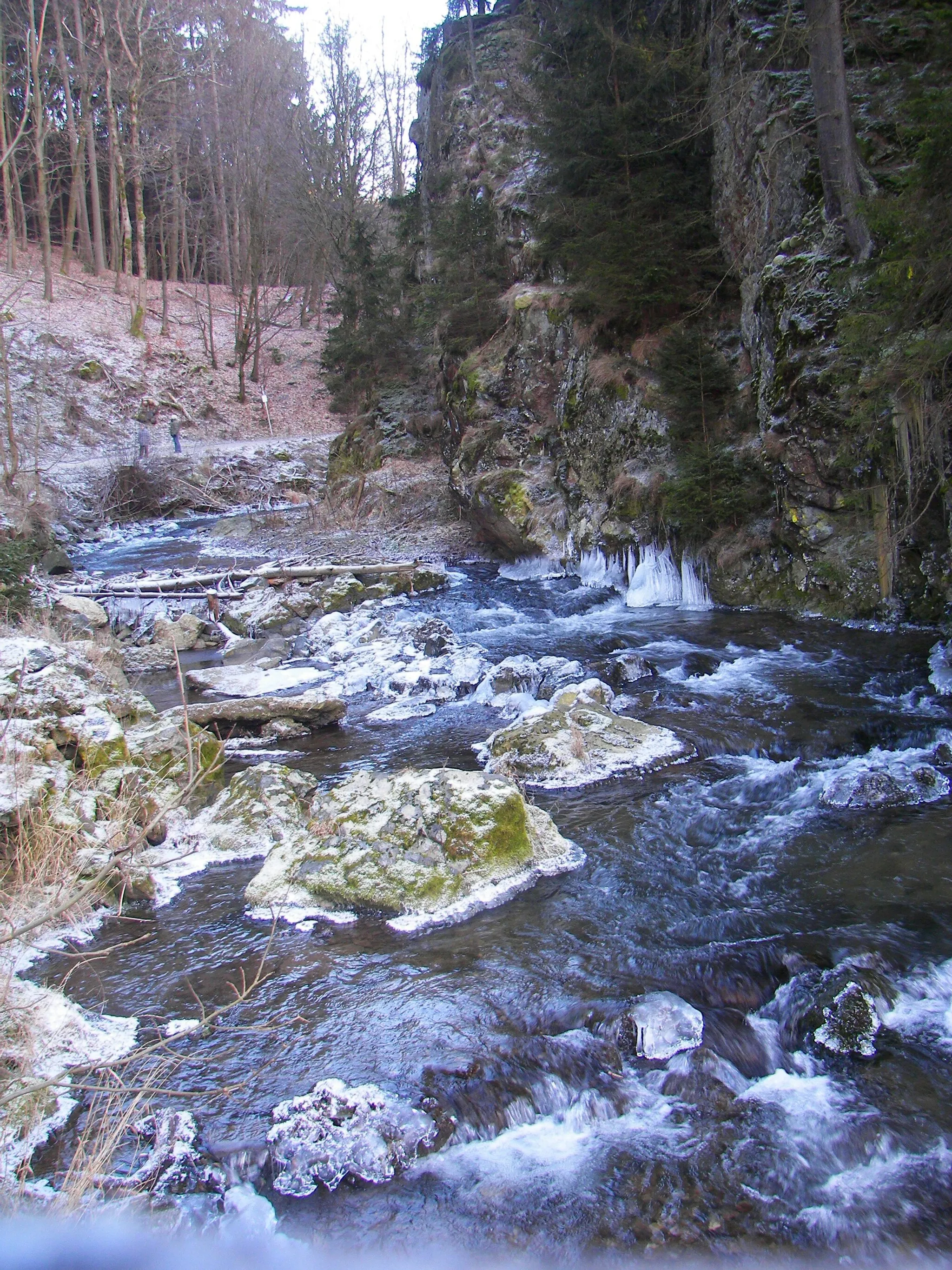
Embark on a challenging cycling adventure through the scenic landscapes of Oberfranken. This road cycling route covers a distance of 127 kilometers with an ascent of 2,071 meters, making it ideal for experienced cyclists seeking a demanding ride. Along the way, you'll encounter historic towns, majestic mountains, and breathtaking views. This route offers an epic experience for those who crave a physical and mental challenge.
road
127 km
2071 m
Savage
Route profile
Highlights on the route
0 km
0 km
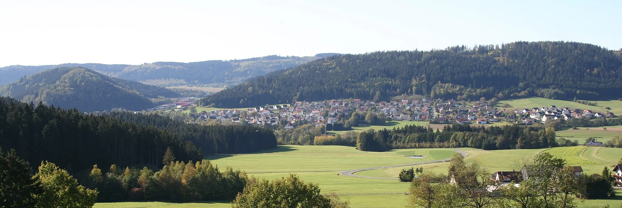
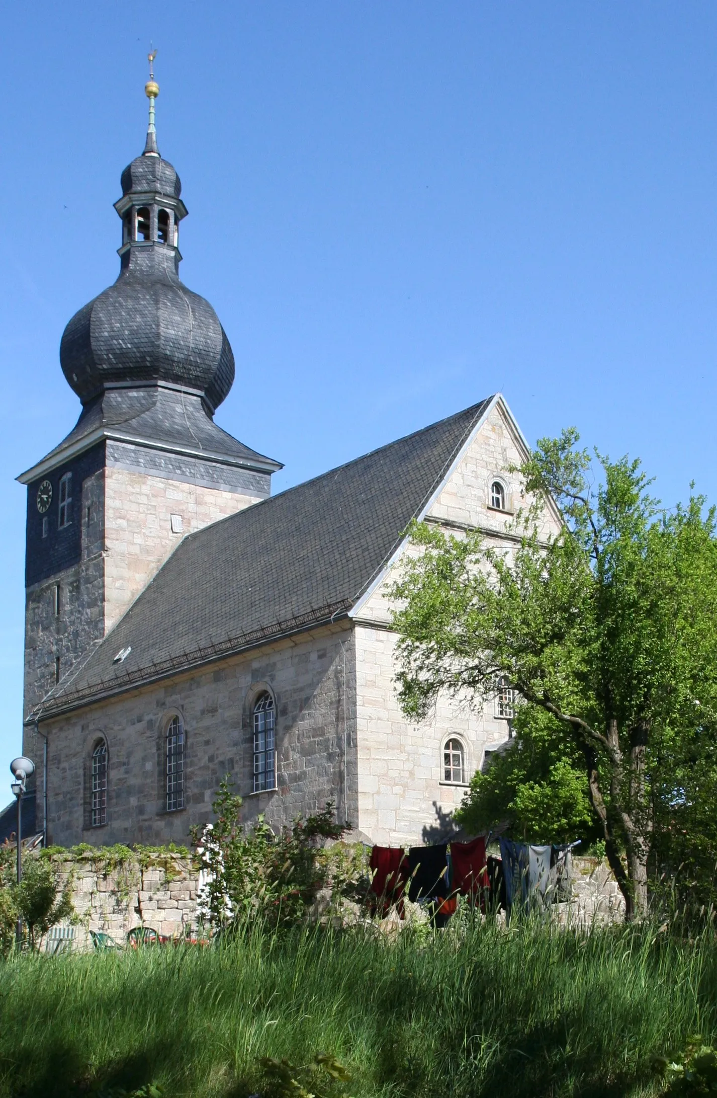
Start: Schäferei Village centerWilhelmsthal: Tranquil atmosphere and peaceful rides through scenic countryside.
Wilhelmsthal is a small locality in Oberfranken, Germany. Although it may not offer extensive cycling opportunities, it has some quiet roads that are suitable for leisurely rides. The area is known for its peaceful atmosphere and scenic countryside. Keen cyclists can also explore nearby areas such as the Franconian Forest, which offers more challenging terrain and picturesque routes. Overall, Wilhelmsthal is a good option for cyclists looking for a tranquil cycling experience.12 km
12 km
Bromberg598 mPeakBromberg rewards riders with incredible views from its imposing lookout tower.
12 km
12 km
NurnVillageNurn is a quaint village with traditional half-timbered houses and a scenic setting.
27 km
27 km
Friedelhöhe700 mPeakFriedelhöhe offers a panoramic view of the surrounding landscapes, including the picturesque Fichtelgebirge mountains.
32 km
32 km
Bad StebenTownBad Steben is a spa town known for its healing waters and charming park.
45 km
45 km
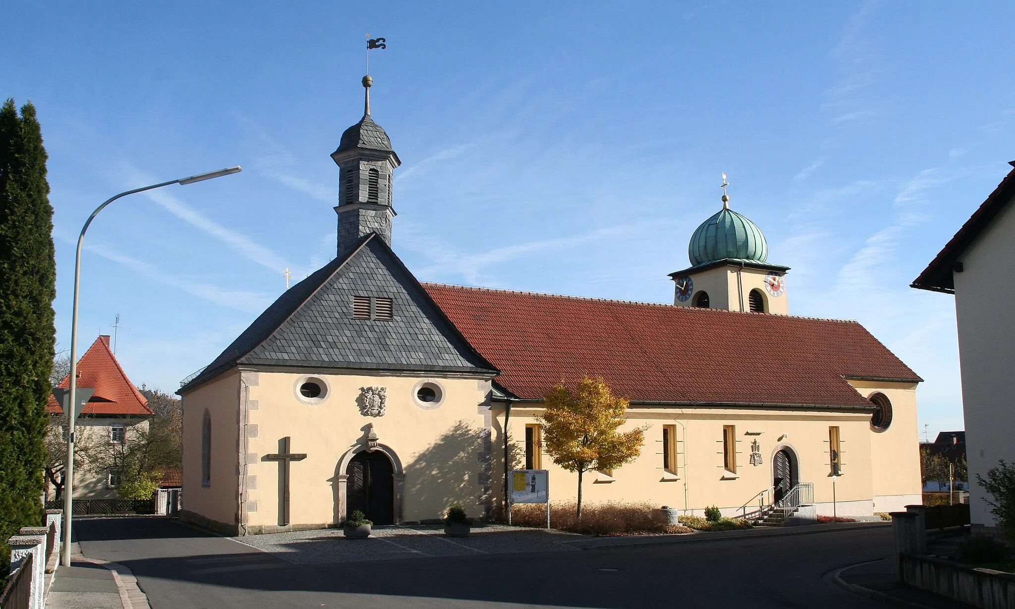
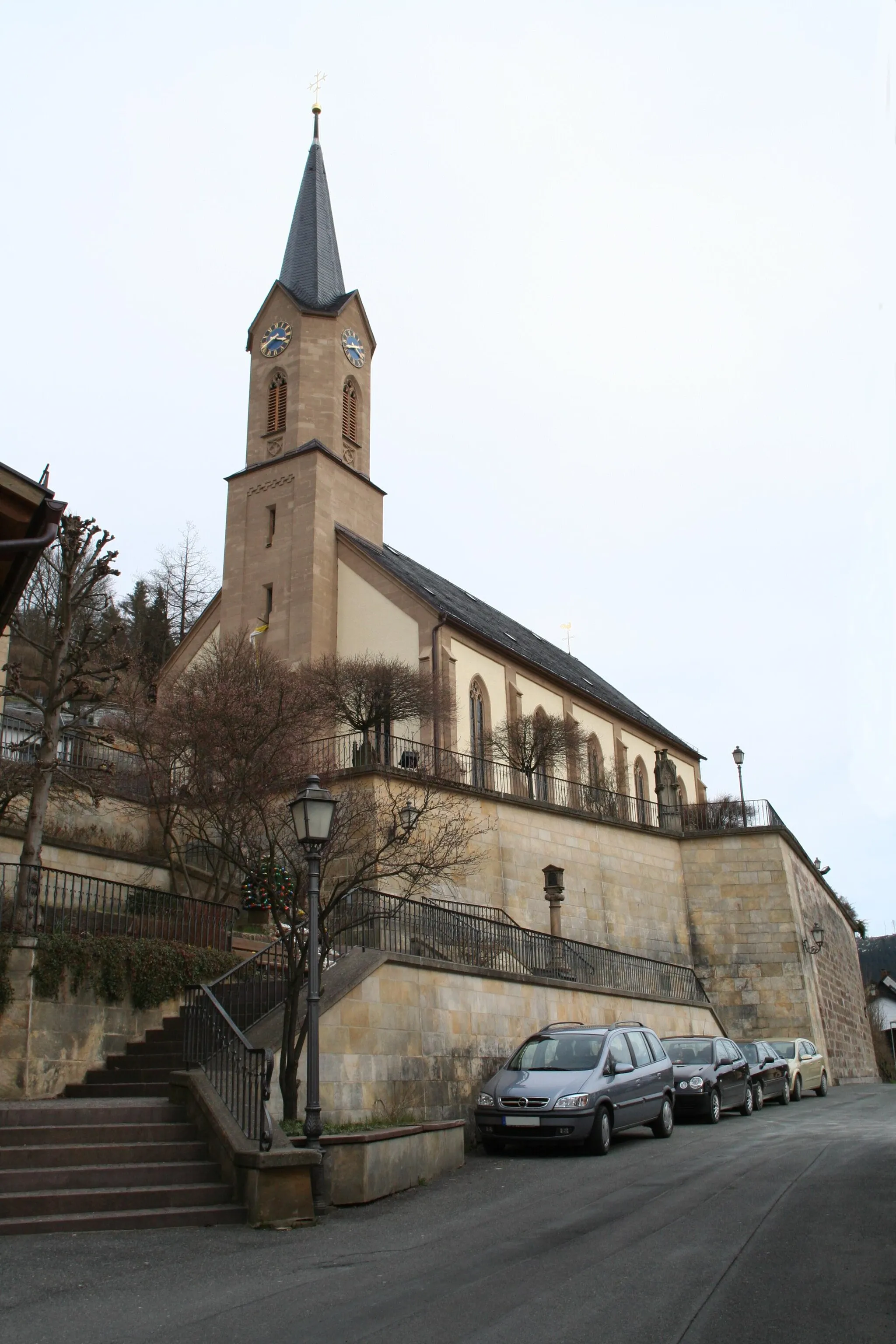
SelbitzTownSelbitz is a historical town with a beautiful castle and medieval city walls.
56 km
56 km
Ahornberger BergViewpointAhornberger Berg provides a challenging climb and stunning views over the rolling hills of Oberfranken.
71 km
71 km
Weißenberg619 mPeakVisit Weißenberg for a magnificent viewpoint over the adjacent valleys and countryside.
78 km
78 km
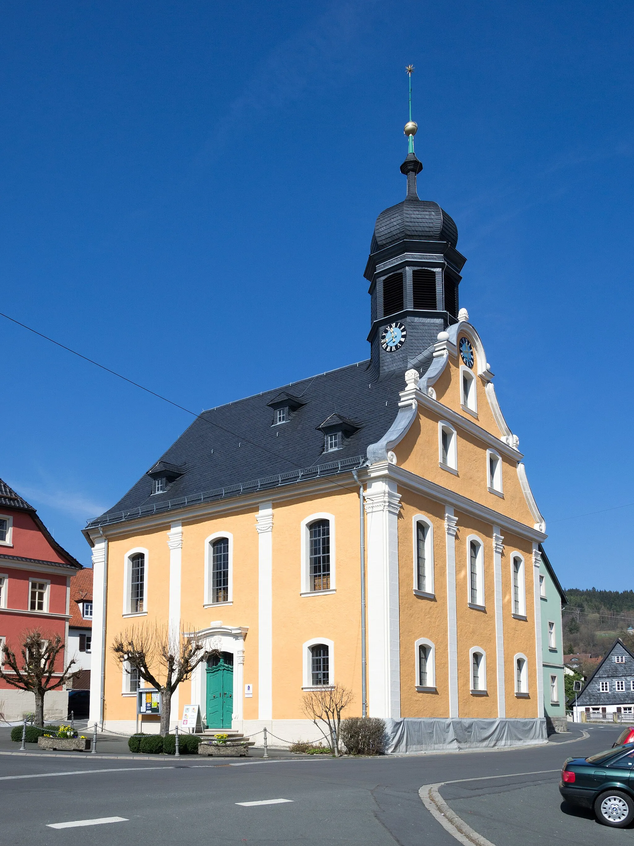
StammbachVillageStammbach charms cyclists with its quaint village center and historic buildings.
92 km
92 km
Torkel627 mPeakTorkel is a picturesque hamlet nestled in the Franconian Switzerland region, offering a peaceful atmosphere and scenic beauty.
95 km
95 km
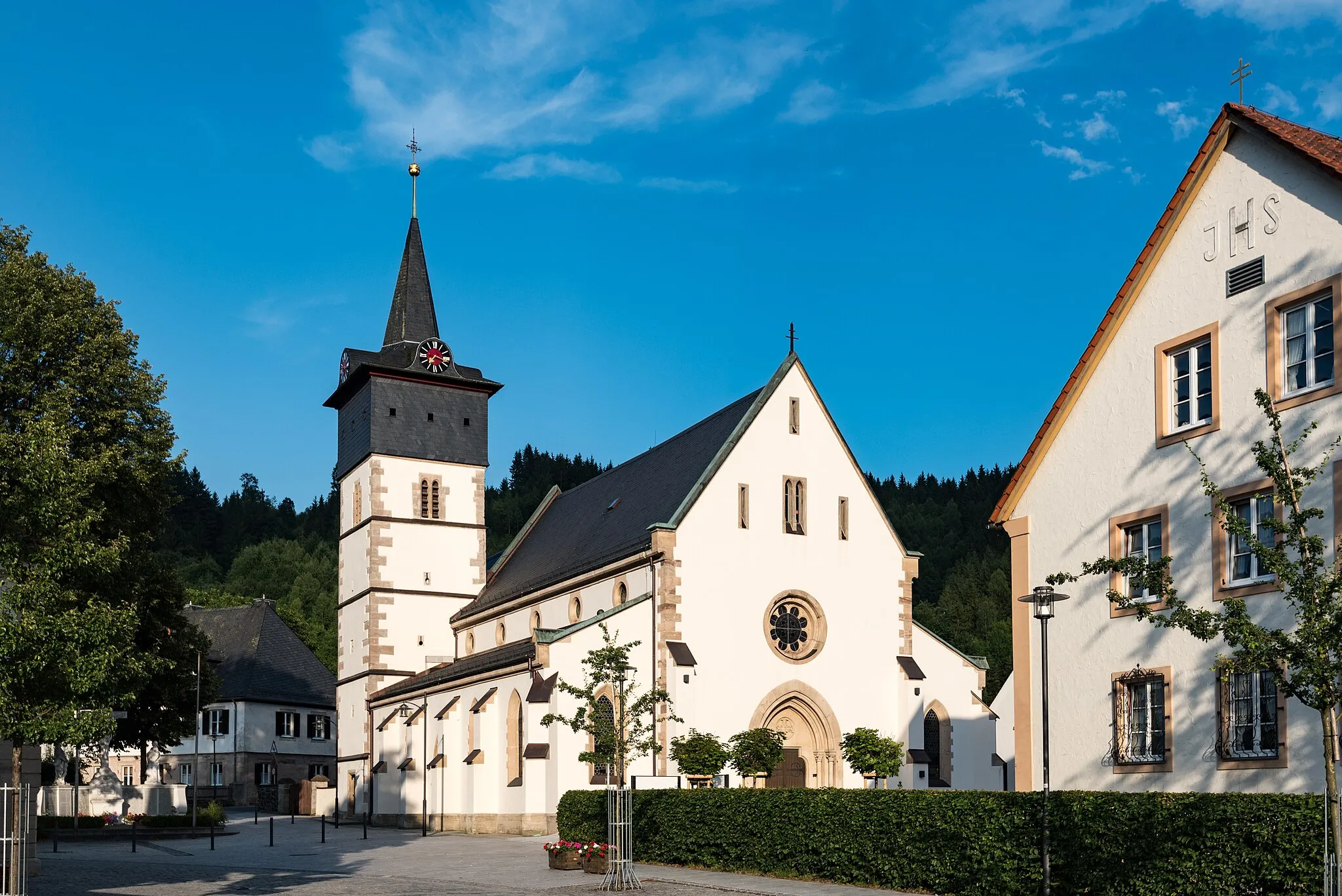
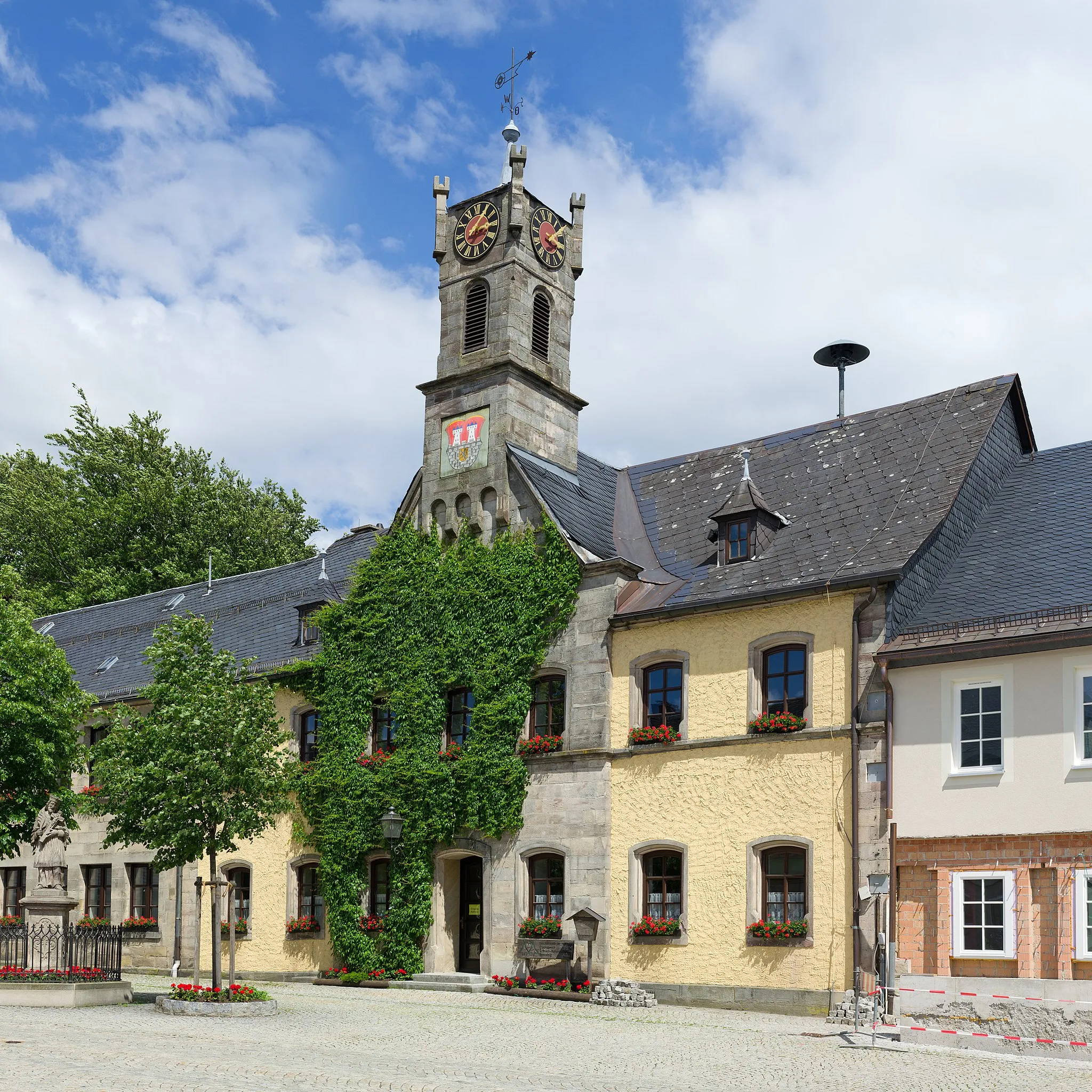
StadtsteinachTownStadtsteinach delights visitors with its medieval town gate and well-preserved architecture.
107 km
107 km
Geuserberg708 mPeakPedal up Geuserberg, a challenging climb with rewarding views of the serene surroundings.
117 km
117 km
EisenhammerHamletEisenhammer features an ancient iron hammer mill and offers a glimpse into Bavaria's industrial history.
127 km
127 km
SchäfereiVillageSchäferei is a tranquil spot along the route, perfect for rest and enjoying the natural surroundings.
127 km
127 km
Finish: Schäferei Village centerWilhelmsthal: Tranquil atmosphere and peaceful rides through scenic countryside.
Cycling routes from Wilhelmsthal:
Gravel Trail Adventure Historical Trail Expedition Challenging Bavarian Adventure Gravel Adventure near Oberfranken Pressig Round Trip Bavarian Countryside Adventure Off the Beaten Path Gravel Nature Explorers Escape Wilhelmsthal and Beyond Bavarian Scenic Journey Schwarzenbach Escape Hinterland Tour Rosenberg Adventure Wilhelmsthal Loop
Cycling routes nearby: