The Gravel Adventure
A gravel cycling route starting from Arrach
Embark on an exhilarating gravel adventure near Arrach and discover hidden gems along the way
Map
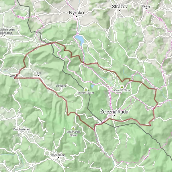
The Gravel Adventure is a 78 km gravel cycling route near Arrach that takes you through Arrach, Schindelauberg, Hamry, Dveře, Hůrecký vrch, Alžbětín, Fuchsriegel, and Lam. With 2063 meters of ascent, this challenging route is suitable for experienced and well-trained amateur cyclists. The route provides an overall thrilling and adventurous cycling experience, with the opportunity to explore remote areas and lesser-known attractions.
gravel
78 km
2063 m
Savage
Route profile
Highlights on the route
0 km
0 km
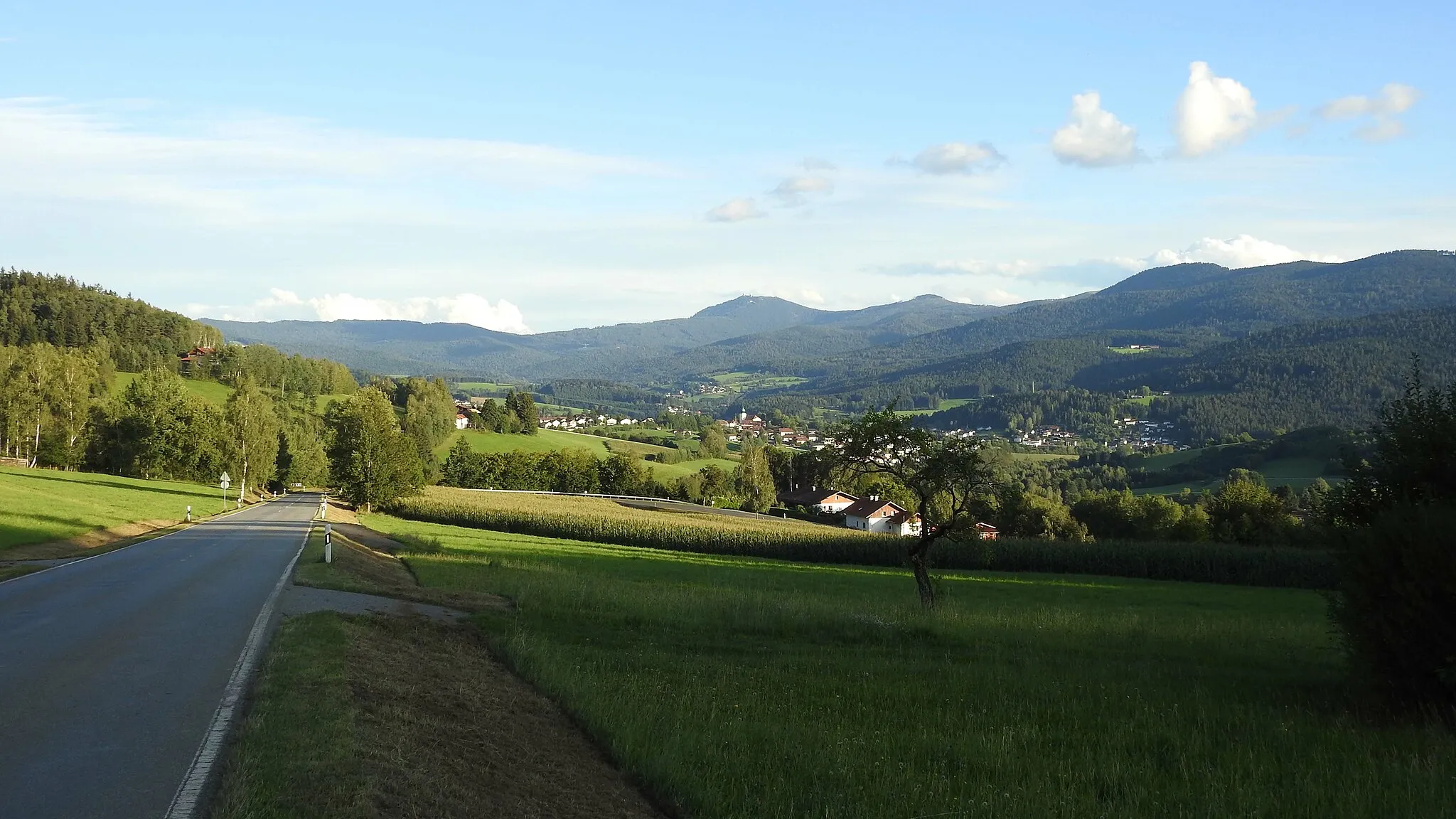
Start: Arrach Village centerArrach: Challenging climbs and Bavarian charm in Arrach
Arrach is a locality located in the Oberpfalz region of Germany. As a road and gravel cyclist, Arrach offers a diverse and challenging terrain for cycling enthusiasts. The area is home to several well-known climbs, such as the Arber, which attracts professional cyclists from around the world. Here, cyclists can test their endurance and skills on demanding ascents. In addition to its cycling offerings, Arrach is also a popular tourist destination, boasting stunning natural landscapes and charming Bavarian architecture.0 km
0 km
ArrachVillageStart your adventure in Arrach and discover the natural beauty of the surrounding forests and hills.
7 km
7 km
Schindelauberg780 mPeakClimb up to Schindelauberg and experience panoramic views of the Oberpfalz countryside.
20 km
20 km
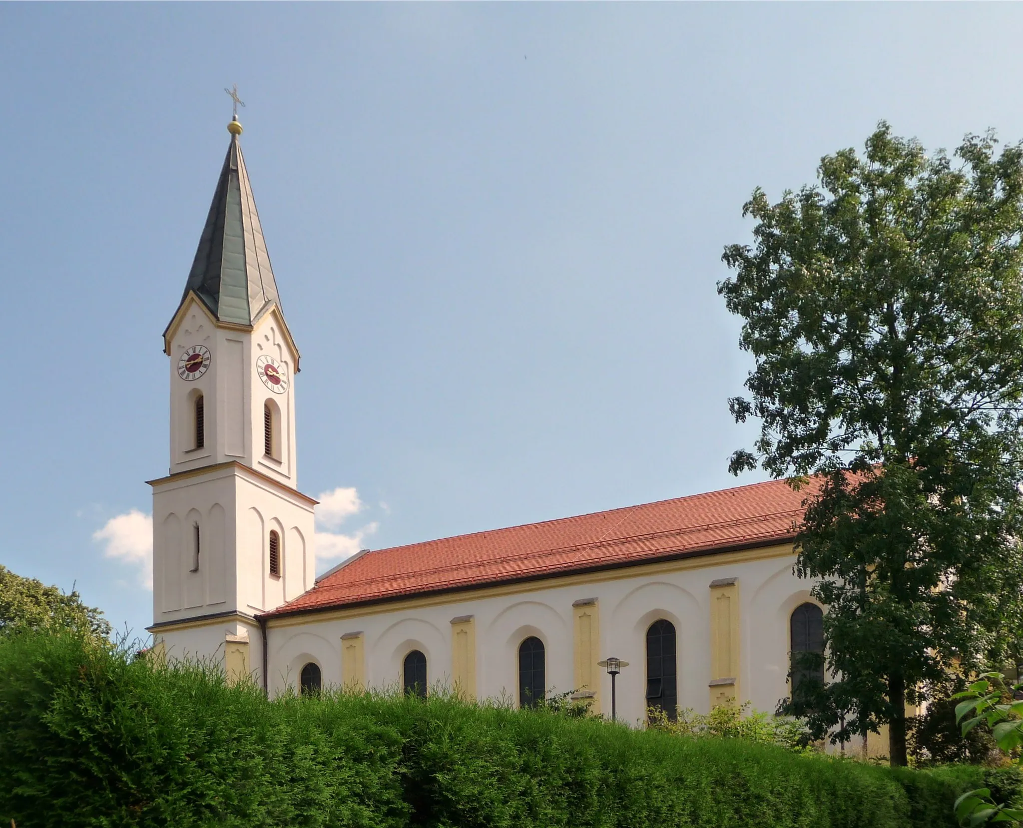
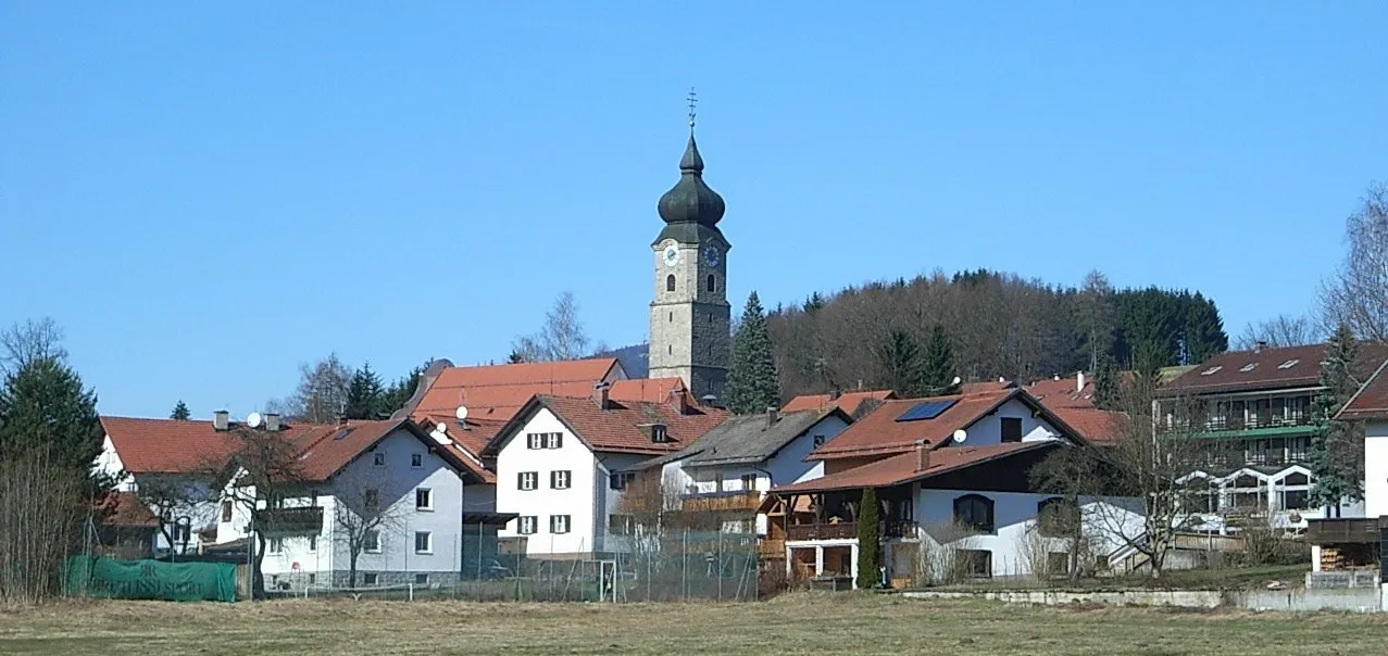
HamryVillageHamry is a small village known for its tranquil atmosphere and rustic charm.
30 km
30 km
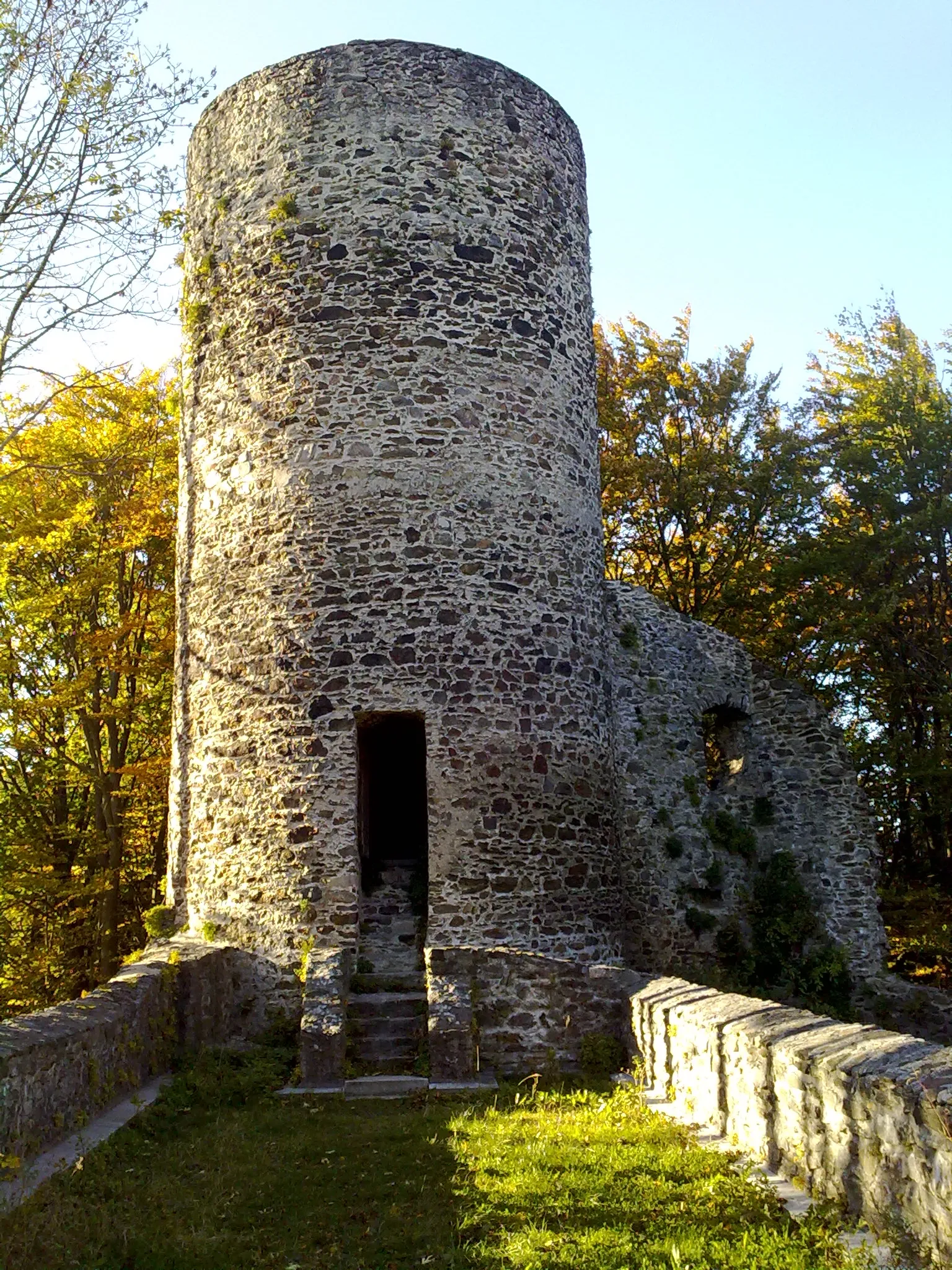
DveřeViewpointDveře is a hidden gem tucked away in the forest, offering a peaceful and serene picnic spot.
43 km
43 km
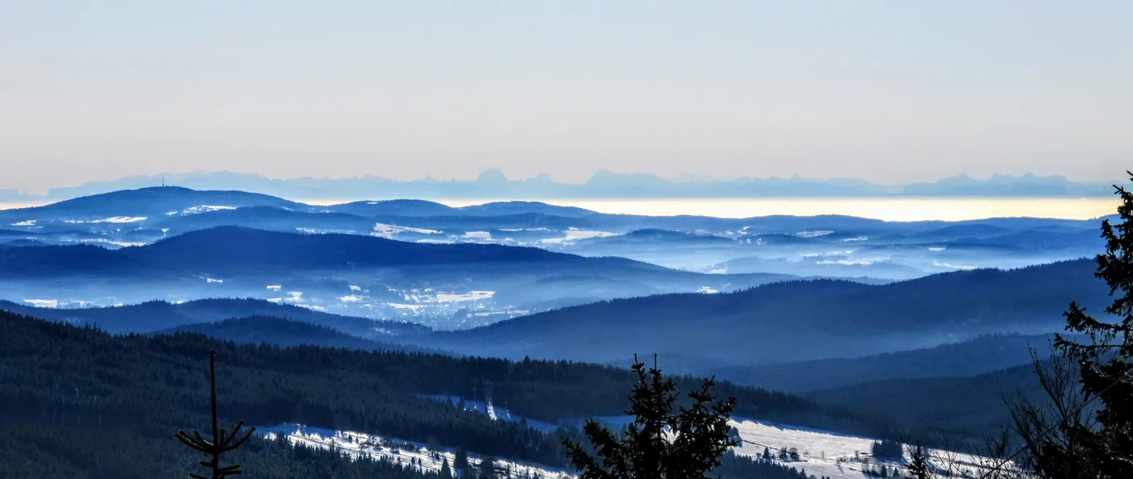
Hůrecký vrch1099 mPeakHůrecký vrch is a scenic viewpoint that provides stunning panoramic views of the surrounding landscape.
54 km
54 km
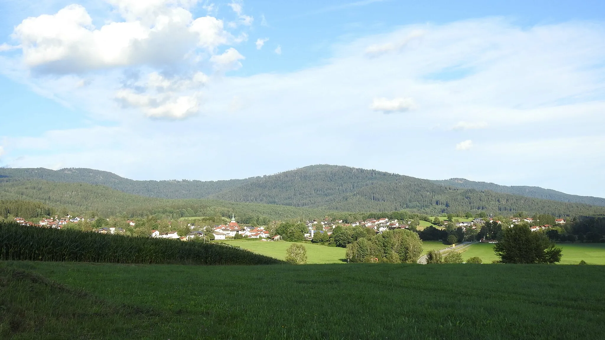
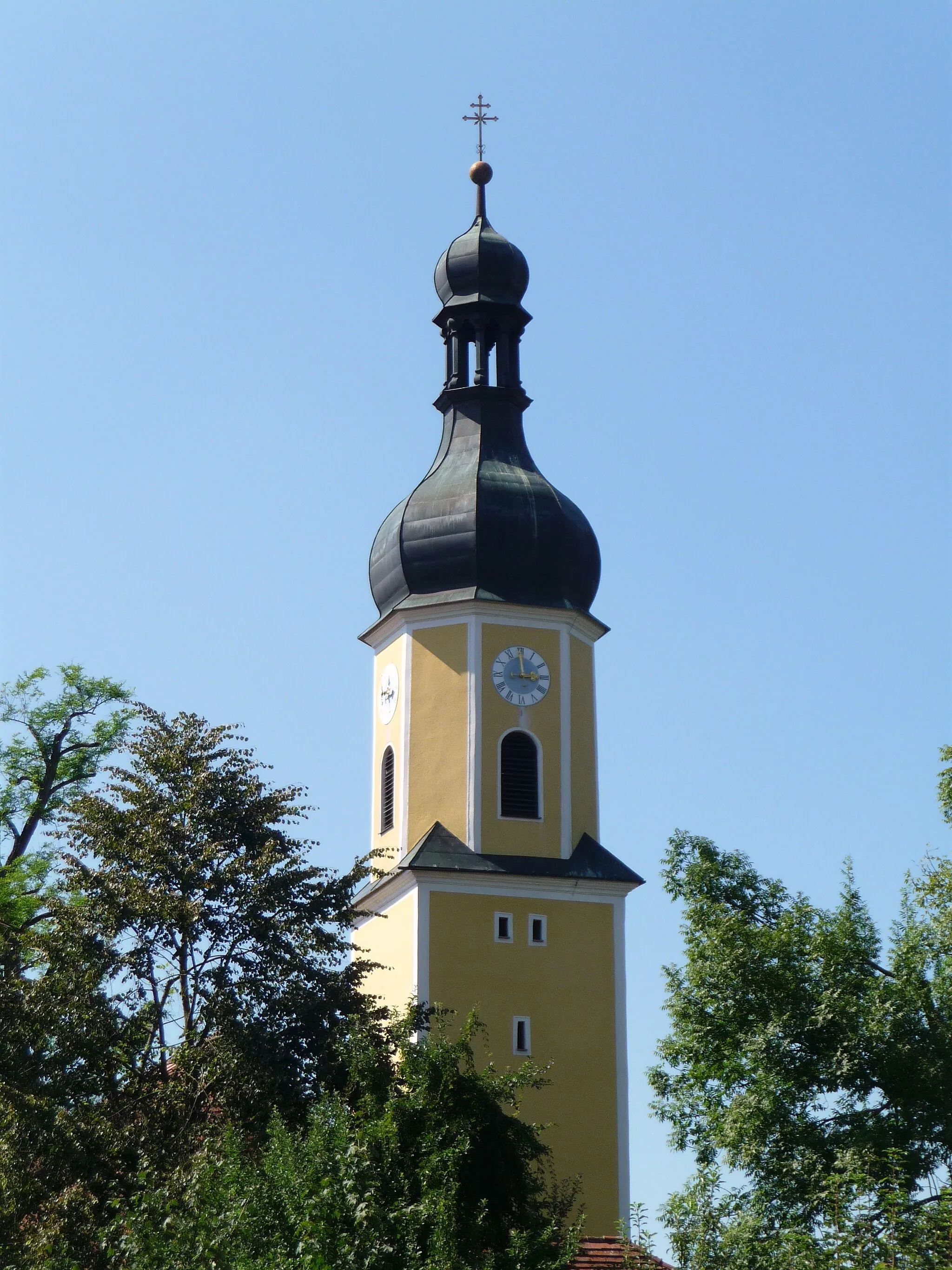
AlžbětínVillageAlžbětín is a charming village with traditional architecture and a rich history.
63 km
63 km
Fuchsriegel978 mPeakFuchsriegel is a picturesque hill that offers a challenging climb and breathtaking views.
74 km
74 km
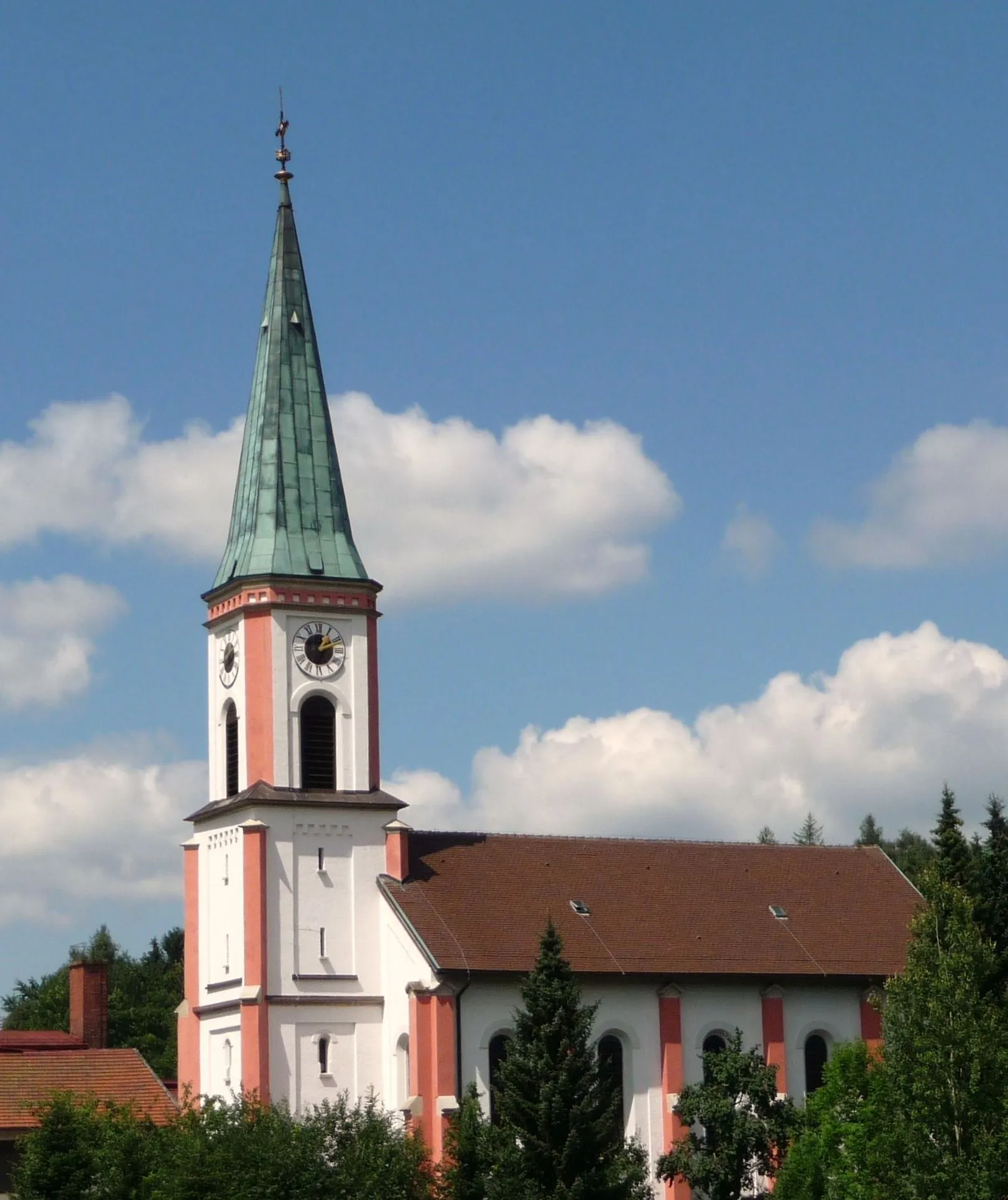
LamVillageLam is a small town with a cozy atmosphere, perfect for a break during your adventure.
78 km
78 km
Finish: Arrach Village centerArrach: Challenging climbs and Bavarian charm in Arrach
Cycling routes nearby: