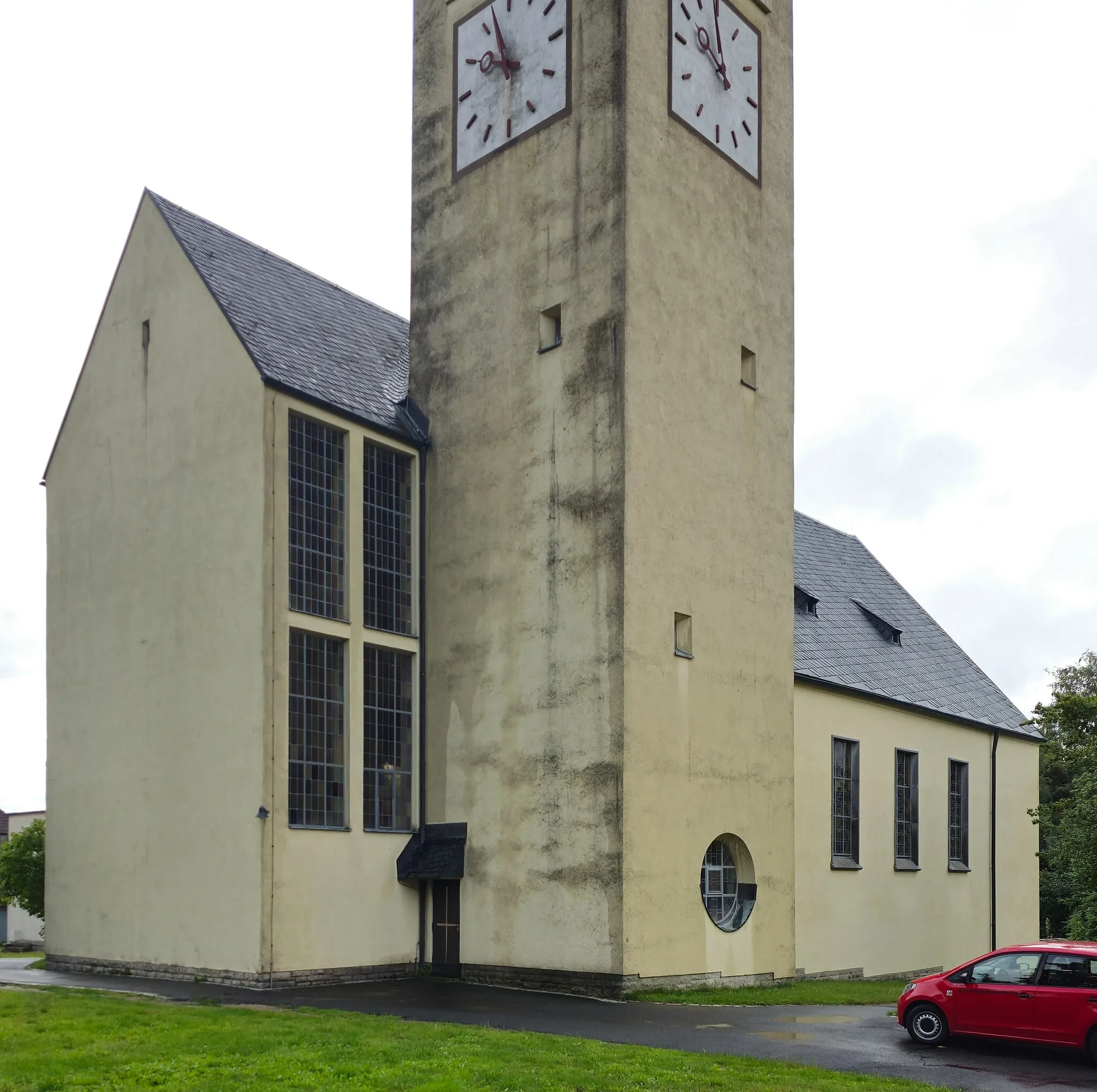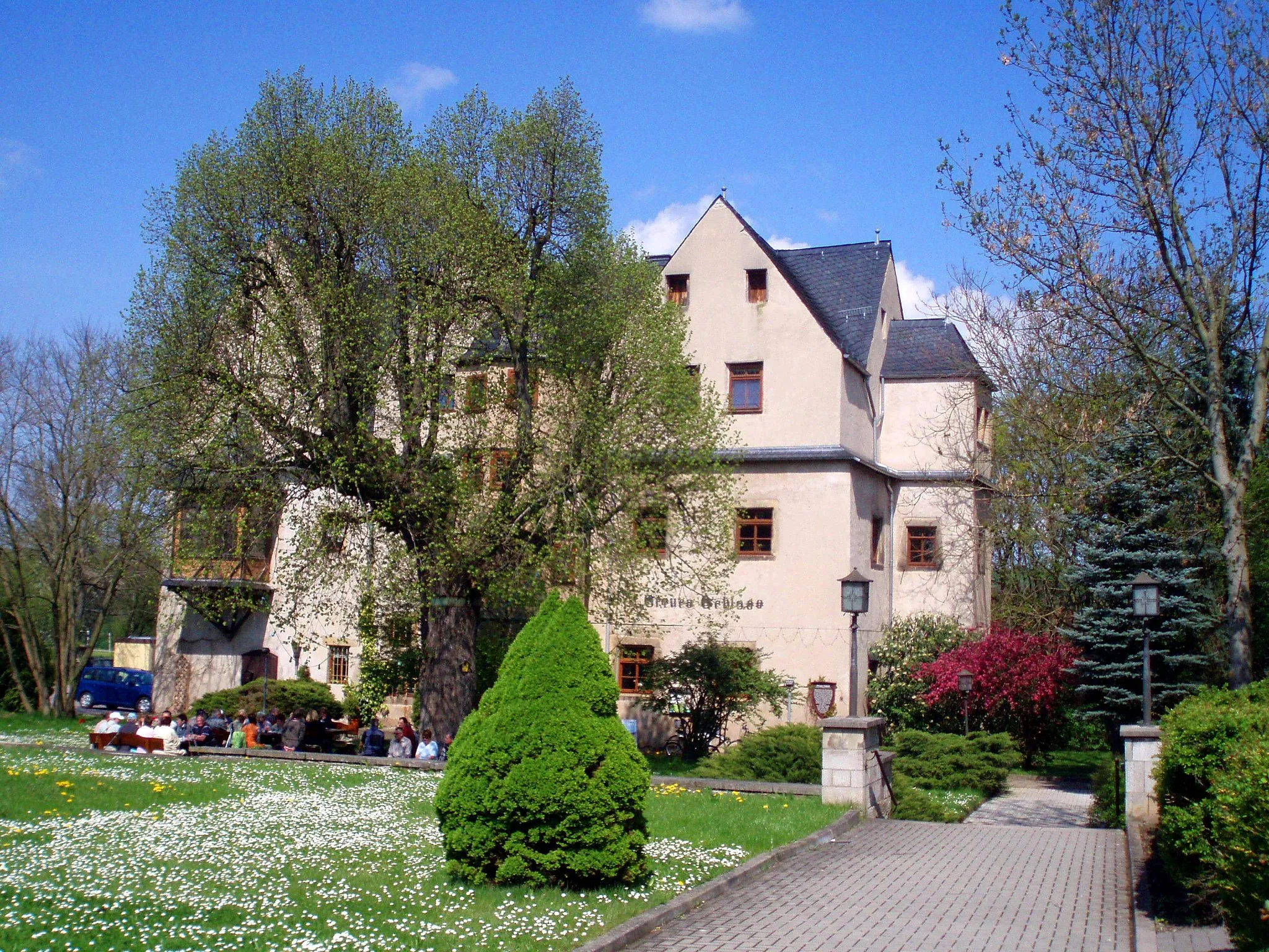
Unleash your cycling spirit amidst the pristine beauty of Brennberg.
Cycling routes from Brennberg
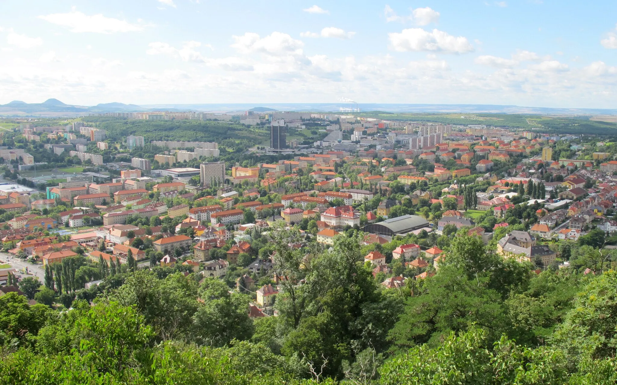
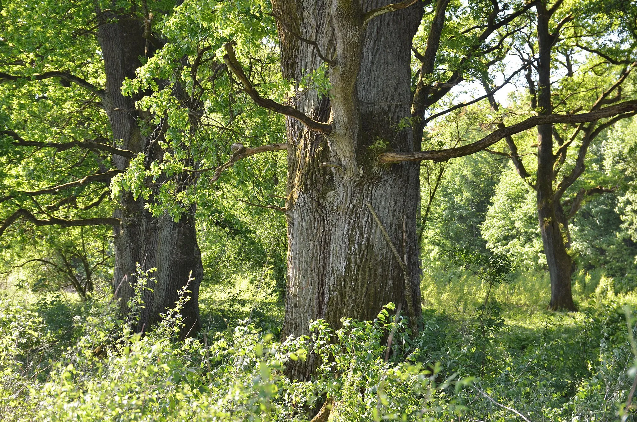
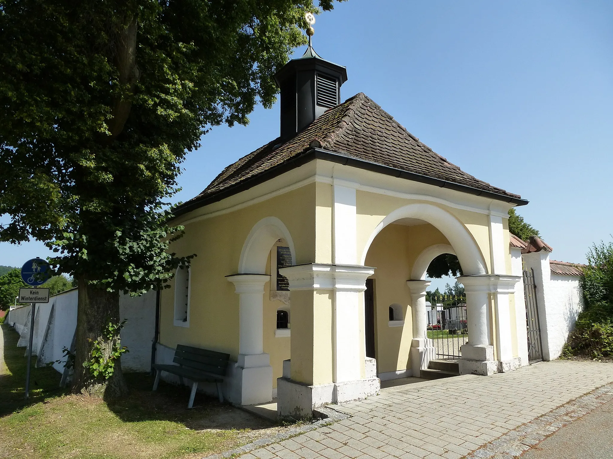
Brennberg, located in the Oberpfalz region of Germany, is a hidden gem for road and gravel cyclists. The town is surrounded by lush forests and rolling hills, offering a tranquil escape for cyclists seeking solitude in nature. Brennberg itself boasts well-paved roads and gravel paths, perfect for leisurely rides or more intense training sessions. Cyclists can also explore the nearby Bavarian Forest, which provides challenging climbs and stunning panoramic views. With its peaceful ambiance and scenic landscapes, Brennberg is a lesser-known but highly rewarding destination for cycling enthusiasts.
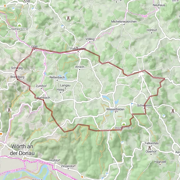
Embark on an epic gravel adventure to Falkenstein Castle, a historic fortress perched atop a hill.
This gravel route offers a thrilling adventure to Falkenstein Castle, a medieval fortress majestically overlooking the surrounding countryside. With a distance of 48 km and an ascent of 1006 m, this route is suitable for intermediate gravel cyclists. The highlight of the ride is the castle itself, offering a glimpse into the region's fascinating history and providing panoramic views of the landscape. Along the way, you'll also pass through charming villages, such as Zinzenzell and Riesberg, adding to the overall experience of the ride. Overall, this route offers a unique and adventurous journey for gravel enthusiasts looking to explore the historic Falkenstein Castle and its scenic surroundings.

Experience the beauty of road cycling through picturesque landscapes and historic landmarks
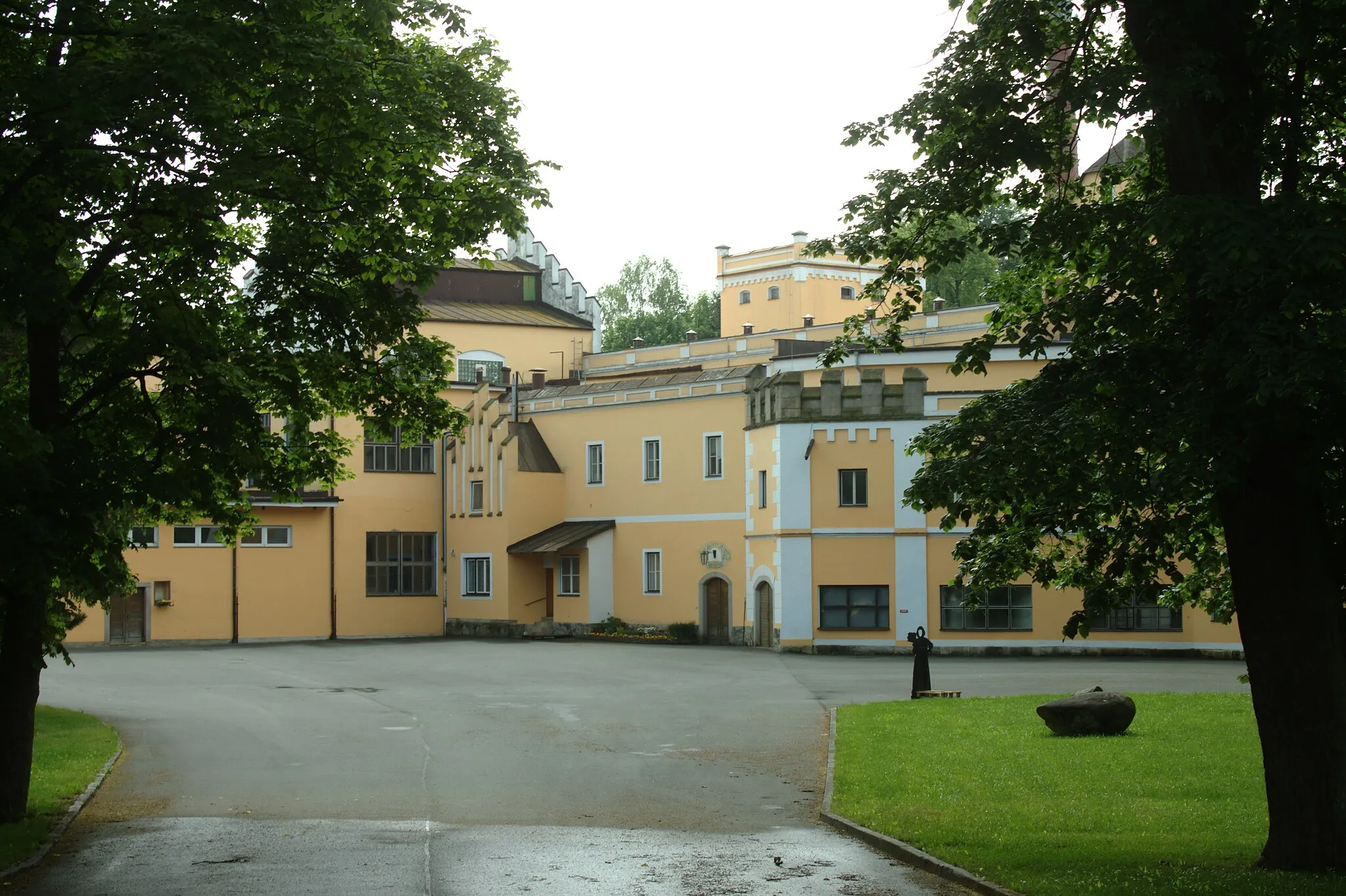
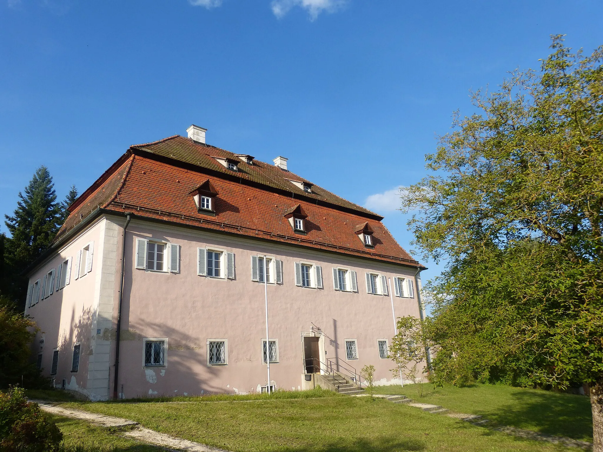
This road cycling route near Brennberg will take you on a journey through picturesque landscapes and historic landmarks. With an ascent of 1078 meters and a distance of 55 kilometers, this route is suitable for experienced cyclists. Highlights include the village of Altenthann, located 11 kilometers into the route, and the stunning view from Dangelsdorfer Berg at the 45-kilometer mark. Enjoy the beauty of Schloss Bodenstein at the 35-kilometer mark and soak in the panoramic vistas from the summit of Brennberg at the end of the route.
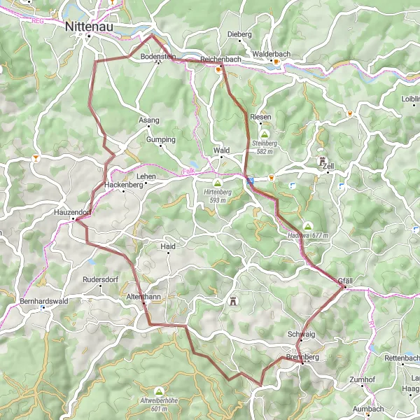
Discover historic routes and charming villages on this gravel cycling adventure in the Brennberg region.
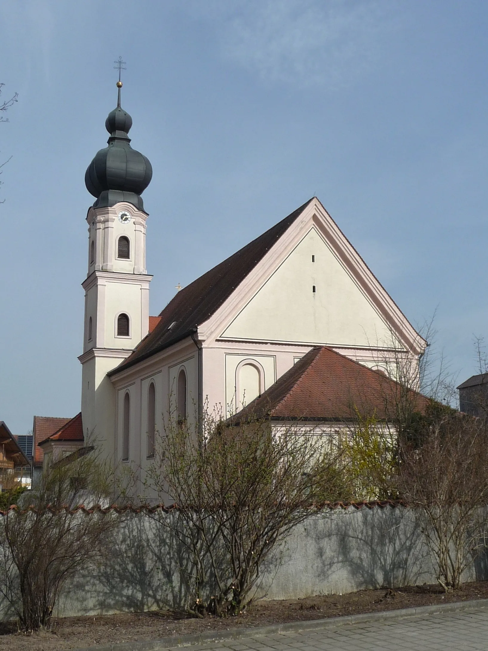
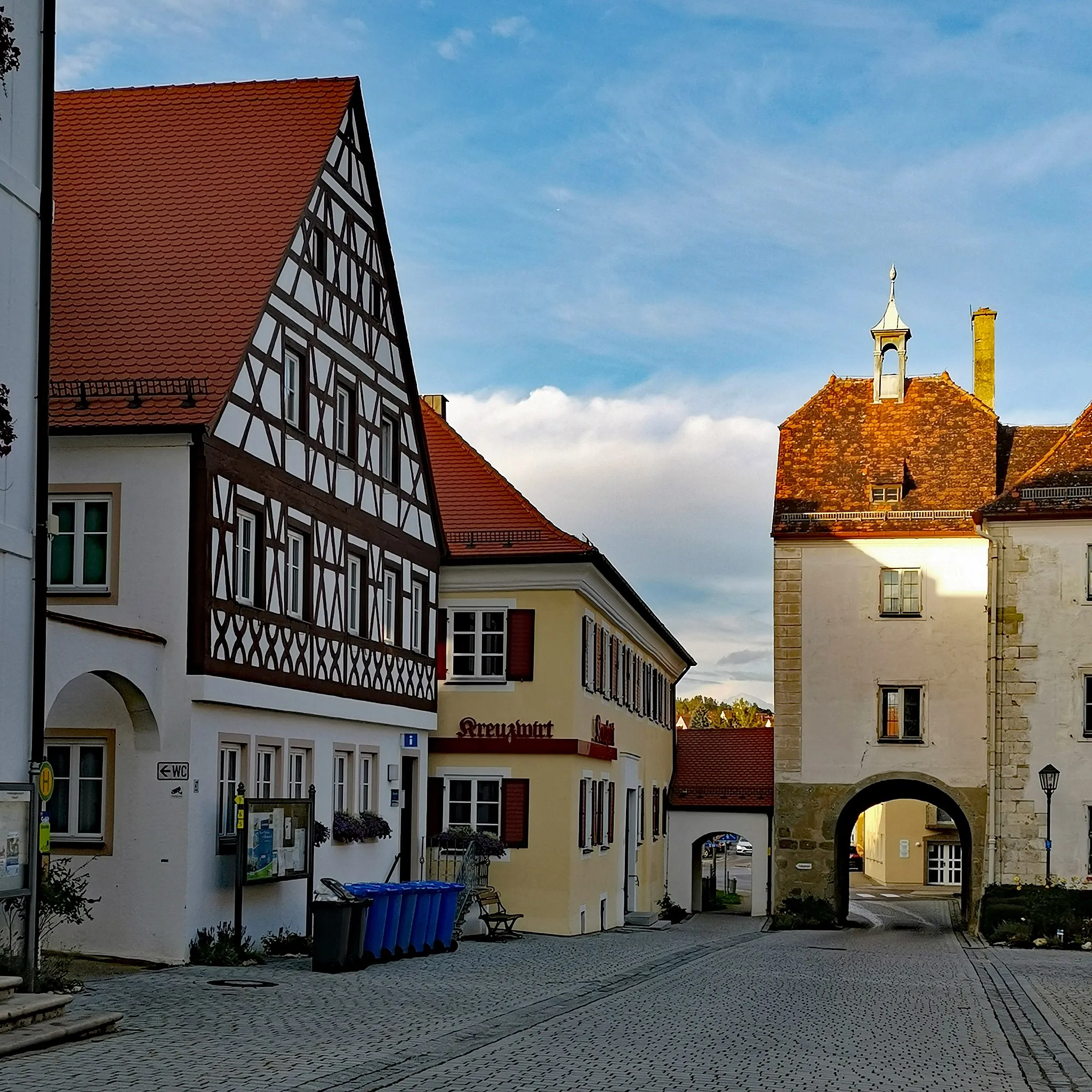
This gravel cycling route offers a chance to explore historic routes and discover charming villages in the Brennberg region. With a distance of 48 km and an ascent of 799 m, this route is suitable for intermediate gravel cyclists. Along the way, you'll pass through Altenthann, a village known for its traditional Bavarian architecture and peaceful ambiance. Steinberg, another highlight of the ride, offers stunning views of the surrounding countryside from its elevated location. The route also includes Schloss Bodenstein, a historic castle that provides a glimpse into the region's rich heritage, and Hadriwa, a small hamlet with a tranquil atmosphere. Overall, this route combines gravel cycling with cultural exploration, showcasing the best of the Brennberg region.
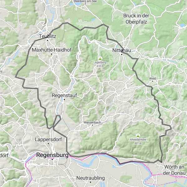
Explore the winding roads along the Danube River, passing through quaint villages and enjoying panoramic views.
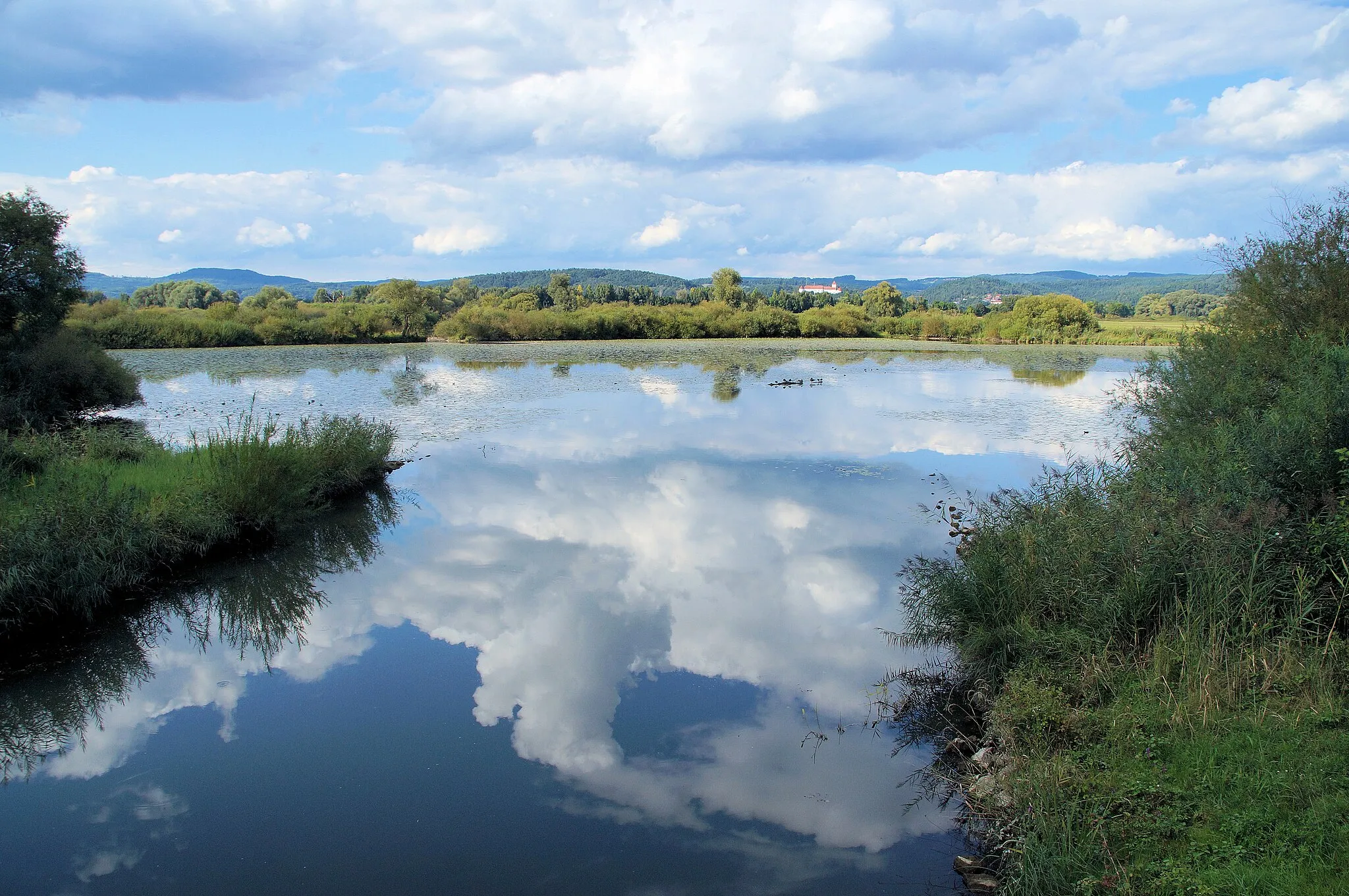
This round-trip cycling route takes you on a scenic adventure along the Danube River. Starting near Brennberg, you'll experience picturesque landscapes, charming villages, and breathtaking views. With a total distance of 108 km and an ascent of 1245 m, this road route is suitable for experienced cyclists. The highlight of the ride is Time Hill, a picturesque spot offering stunning vistas of the surrounding countryside. Additionally, you'll pass by attractions such as Bach an der Donau and Donaustauf. Overall, this route offers a challenging and rewarding experience for cyclists looking to explore the beauty of the Danube region.
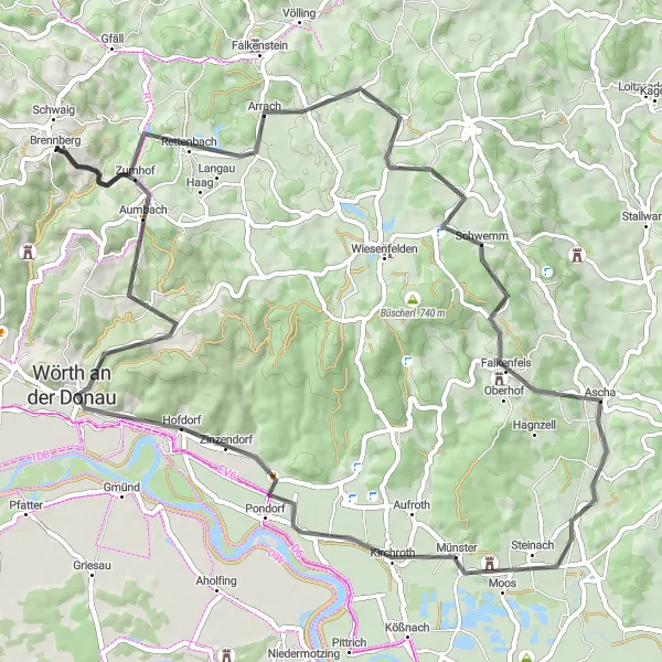
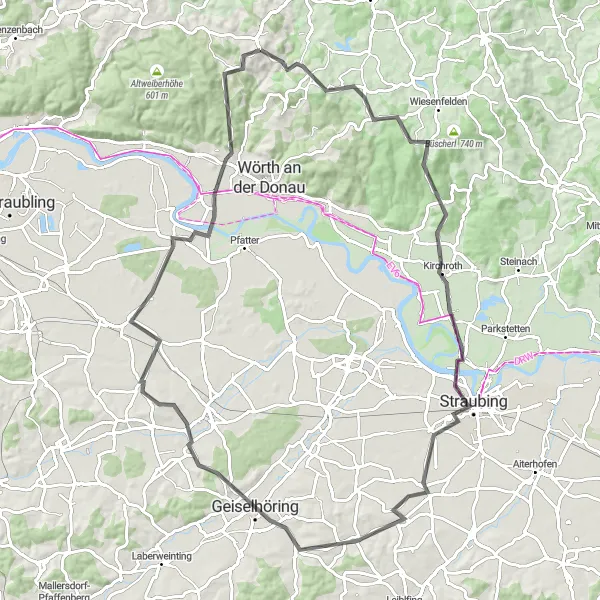
Embark on a challenging road cycling route to discover famous landmarks and panoramic views
This road cycling route starting from Burgruine Brennberg takes you through iconic landmarks and panoramic landscapes. With an ascent of 999 meters and a distance of 69 kilometers, it is suitable for experienced cyclists seeking a challenge. Highlights along the route include Burgruine Brennberg, Donaustauf, and Kirchroth. Lavish in panoramic vistas from Schloßberg at the 55-kilometer mark and explore the charming town of Wörth an der Donau near the end of the route.

Enjoy a scenic ride through the Bavarian countryside, passing by charming villages and natural landmarks.
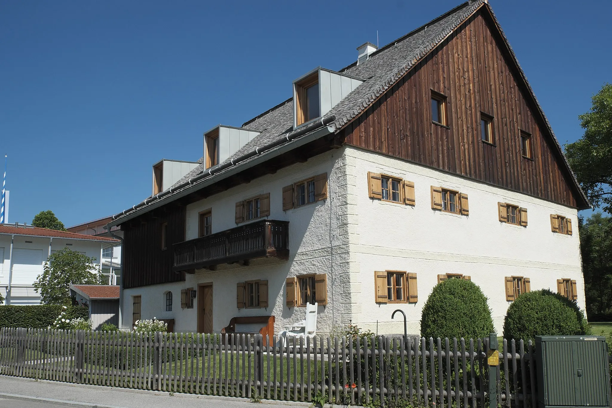
Experience the beauty of the Bavarian countryside on this road cycling route. With a distance of 47 km and an ascent of 806 m, this route offers a scenic ride suitable for cyclists of intermediate level. Along the way, you'll pass by Pfaffenfang, a small village with traditional Bavarian houses and picturesque surroundings. Walderbach, another highlight of the ride, is known for its historic monastery and tranquil atmosphere. The route also includes attractions such as Geiselberg, a charming hill offering panoramic views, and Marienstein, a natural landmark with impressive rock formations. Overall, this route provides an opportunity to immerse yourself in the peaceful ambiance and natural beauty of the Bavarian countryside.
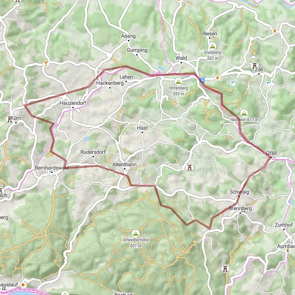
Escape into nature and explore charming villages on this gravel cycling route
Experience the natural beauty of the Oberpfalz region with this gravel cycling route near Brennberg. With an ascent of 666 meters and a distance of 42 kilometers, it offers a moderate challenge for cyclists. Highlights along the route include Bernhardswald, a picturesque village located 15 kilometers into the route, and the peaceful Lambertsneukirchen at the 25-kilometer mark. Discover the unique geological formation of Hoher Stein at the 20-kilometer mark and admire the historical charm of the village of Hadriwa at the 36-kilometer mark.

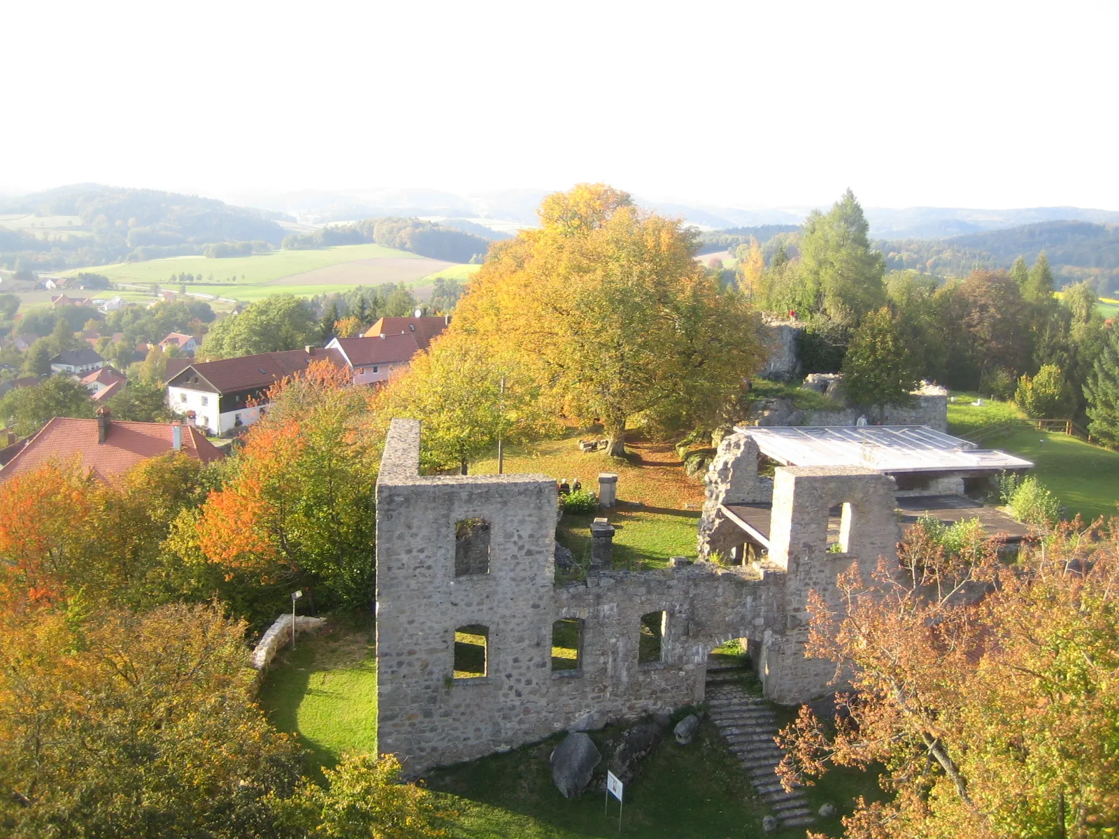
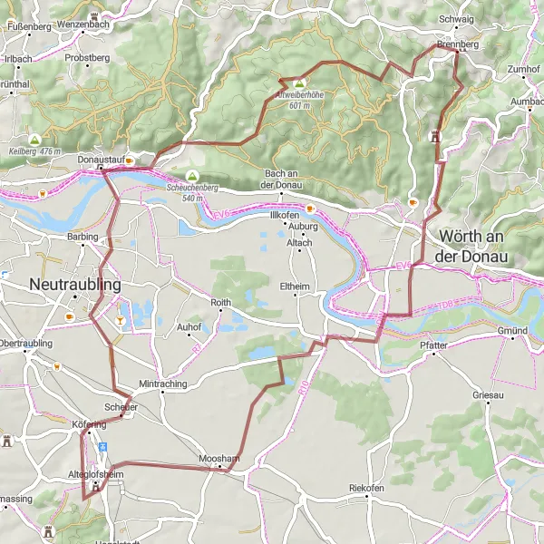
Embark on a challenging gravel route, exploring the hilly terrain and historic sites
This gravel route starting near Brennberg takes you through the scenic hills of Bernhardswald and Donaustauf. With an ascent of 903 meters and a distance of 45 kilometers, it is suitable for experienced cyclists seeking a challenge. Highlights along the route include Bernhardswald, a tranquil village situated 13 kilometers in, and the historic town of Donaustauf at the 26-kilometer mark. Immerse yourself in the serene surroundings and enjoy breathtaking views from Altweiberhöhe at the 37-kilometer mark.
Discover ancient castles and breathtaking views in the Oberpfalz region
Embark on a scenic cycling tour around Brennberg and the surrounding area. This route offers a combination of gravel and road paths, taking you to historic castles and picturesque landscapes. With a total ascent of 759 meters and a distance of 66 kilometers, it is suitable for moderately skilled cyclists. Discover the enchanting Schloss Wiesent, located at a distance of 8 kilometers from the starting point, and enjoy stunning views from Altweiberhöhe at the 58-kilometer mark.
Cultural and Natural Highlights
Immerse yourself in the cultural and natural highlights of the Brennberg region on this road cycling route.
This road cycling route takes you on a journey through the cultural and natural highlights of the Brennberg region. With a total distance of 90 km and an ascent of 877 m, this route is suitable for cyclists of intermediate level. Along the way, you'll encounter the ruins of Brennberg Castle, offering a glimpse into the region's history. The route also includes attractions such as Nepal Himalaya Pavillon, showcasing the ties between Bavaria and Nepal, and Auerturm, a significant wildlife observation tower. With charming villages, beautiful landscapes, and historic sites, this route is sure to provide a memorable cycling experience for those interested in both culture and nature.
Cycling routes nearby:


Nearby regions: