Cultural and Natural Highlights
A road cycling route starting from Brennberg
Immerse yourself in the cultural and natural highlights of the Brennberg region on this road cycling route.
Map
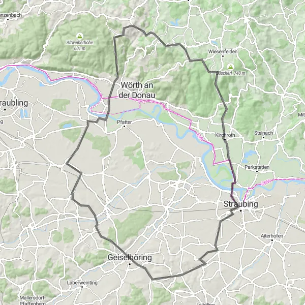
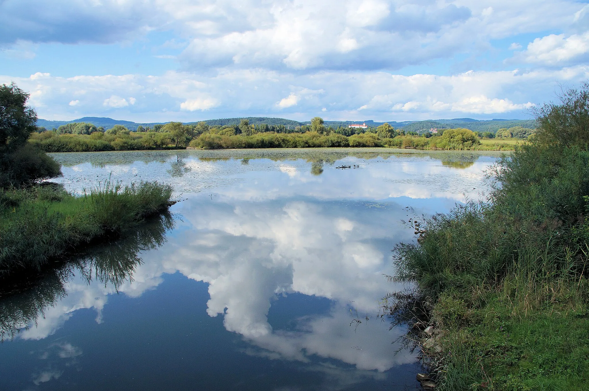
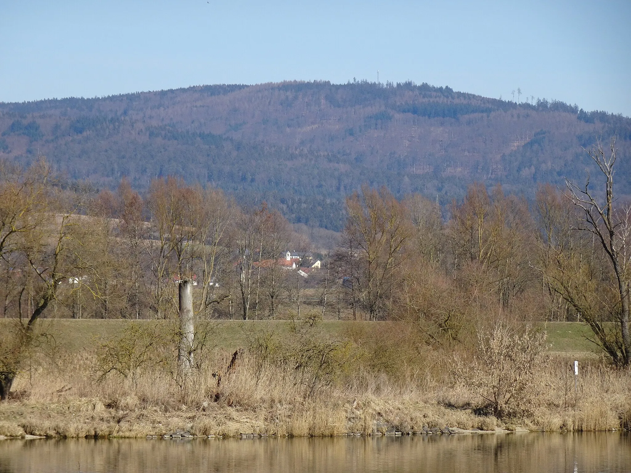
This road cycling route takes you on a journey through the cultural and natural highlights of the Brennberg region. With a total distance of 90 km and an ascent of 877 m, this route is suitable for cyclists of intermediate level. Along the way, you'll encounter the ruins of Brennberg Castle, offering a glimpse into the region's history. The route also includes attractions such as Nepal Himalaya Pavillon, showcasing the ties between Bavaria and Nepal, and Auerturm, a significant wildlife observation tower. With charming villages, beautiful landscapes, and historic sites, this route is sure to provide a memorable cycling experience for those interested in both culture and nature.
road
90 km
877 m
Tough
Route profile
Highlights on the route
0 km
0 km
Start: Brennberg Village centerBrennberg: Unleash your cycling spirit amidst the pristine beauty of Brennberg.
Brennberg, located in the Oberpfalz region of Germany, is a hidden gem for road and gravel cyclists. The town is surrounded by lush forests and rolling hills, offering a tranquil escape for cyclists seeking solitude in nature. Brennberg itself boasts well-paved roads and gravel paths, perfect for leisurely rides or more intense training sessions. Cyclists can also explore the nearby Bavarian Forest, which provides challenging climbs and stunning panoramic views. With its peaceful ambiance and scenic landscapes, Brennberg is a lesser-known but highly rewarding destination for cycling enthusiasts.0 km
0 km
Burgruine BrennbergCastle RuinsBurgruine Brennberg is the ruins of an ancient castle, offering limited views and historical significance.
12 km
12 km
Kobelberg703 mPeakKobelberg is a charming village located in a hilly area, known for its traditional Bavarian houses and stunning views of the surrounding countryside.
30 km
30 km
EisturmViewpointEisturm, or Ice Tower, is a unique structure formed by freezing water during the winter months, providing a captivating sight along the route.
31 km
31 km
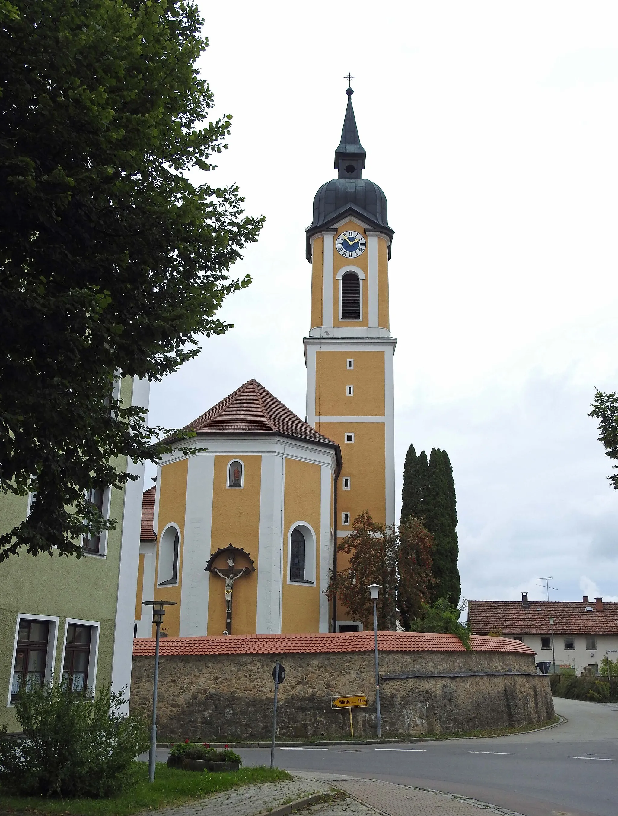
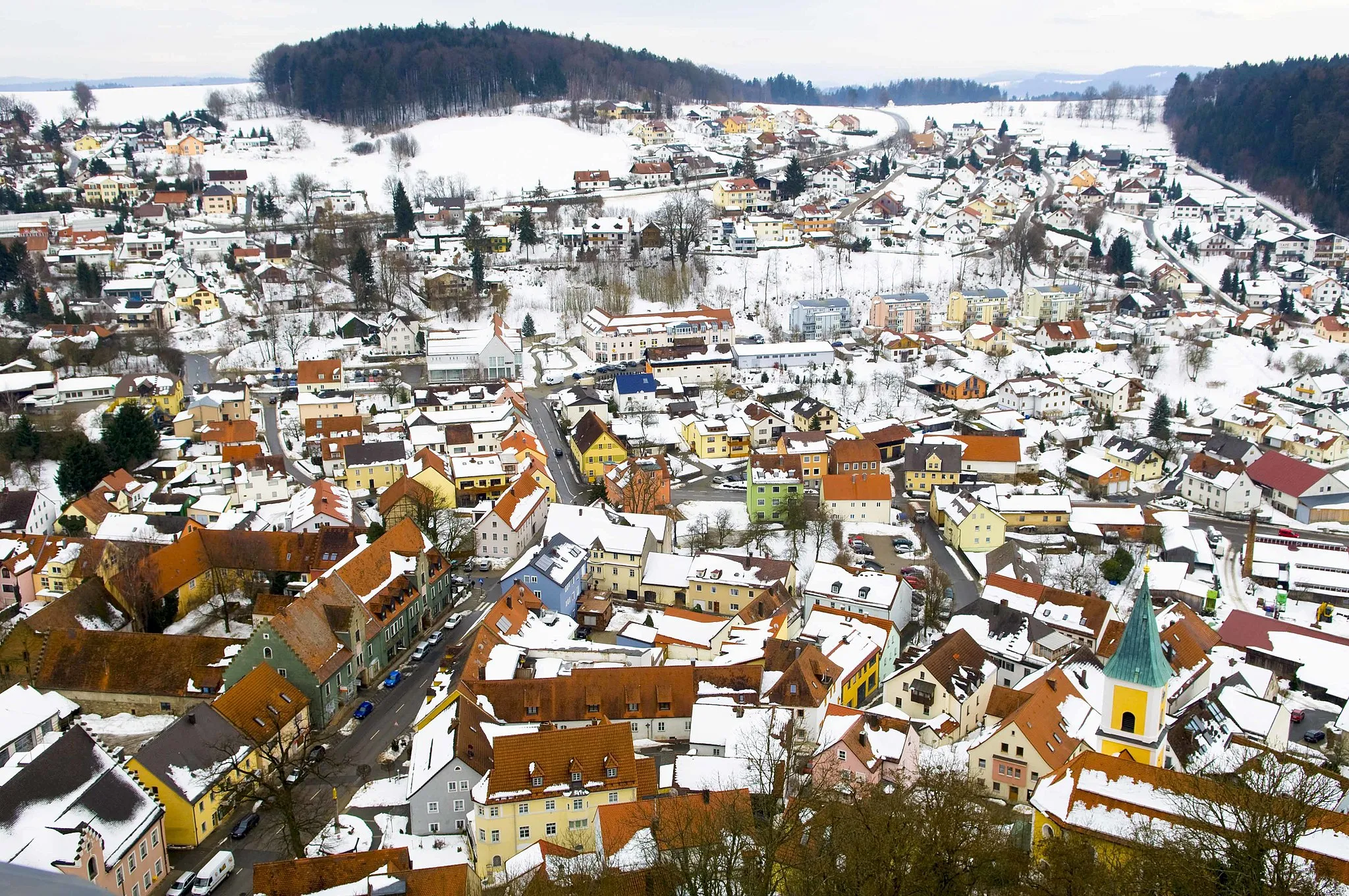
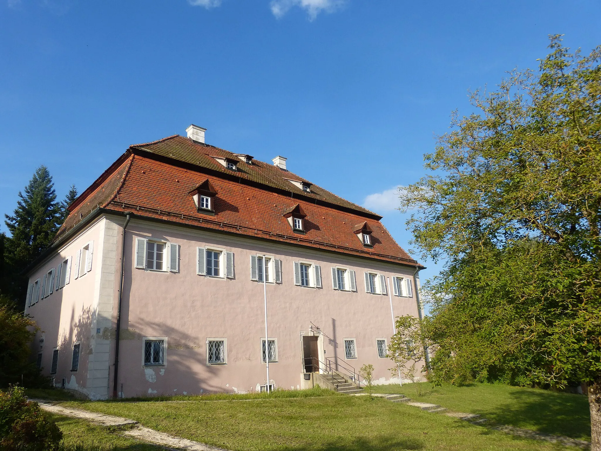
StraubingTownStraubing is a vibrant city with a rich history and a scenic location along the banks of the Danube River, offering various attractions and cultural experiences.
52 km
52 km
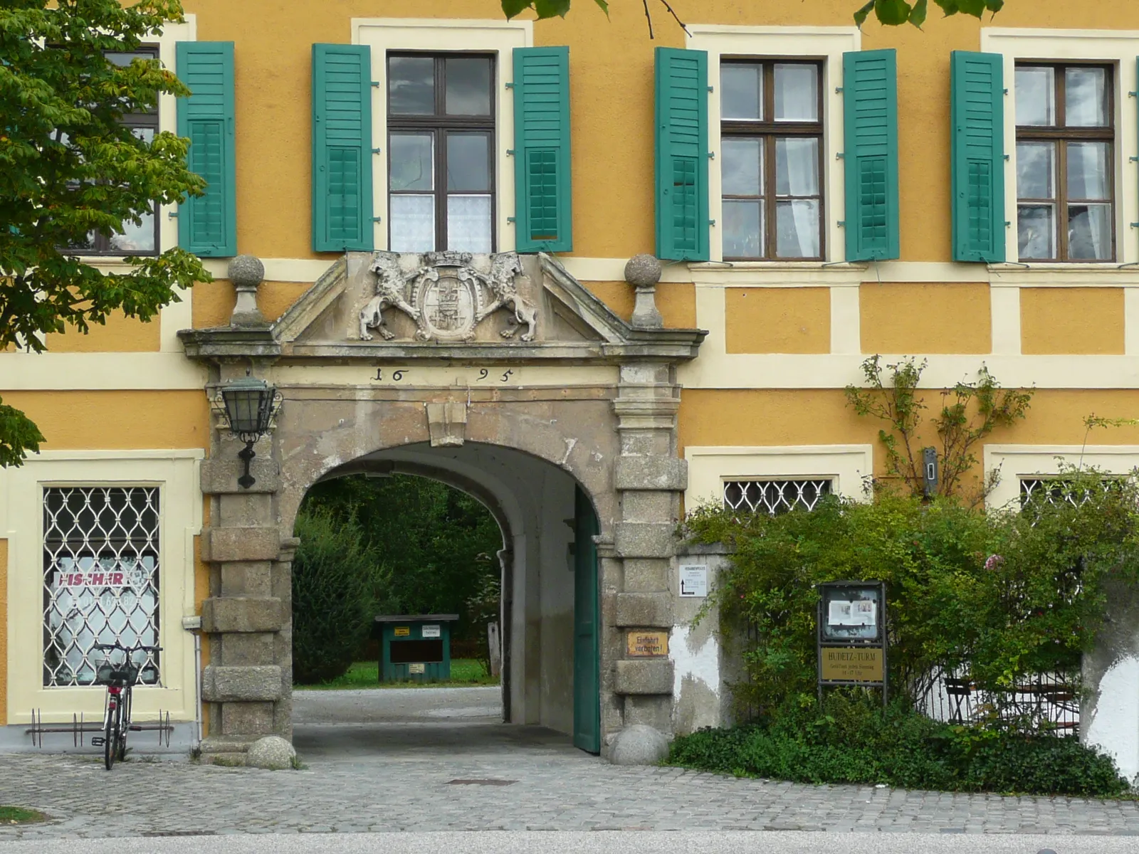
GeiselhöringTownGeiselhöring is a picturesque town with well-preserved historic buildings, including a charming marketplace and a beautiful church.
68 km
68 km
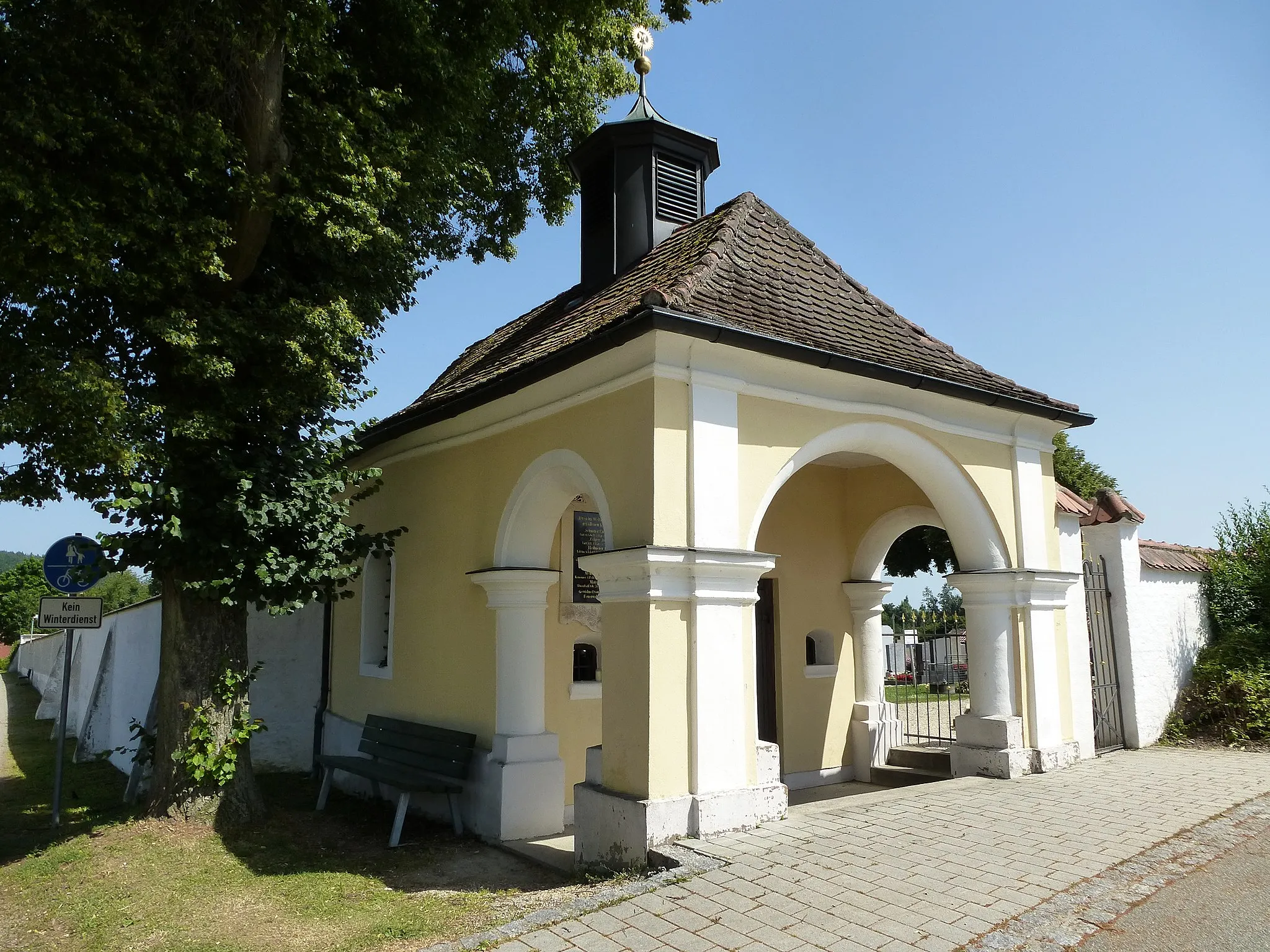
SengkofenVillageSengkofen is a traditional Bavarian village with a rural atmosphere and beautiful natural surroundings, providing a peaceful cycling experience.
83 km
83 km
Nepal Himalaya PavillonAttractionNepal Himalaya Pavillon is a unique structure showcasing the connection between Bavaria and Nepal, offering interesting cultural and educational insights.
90 km
90 km
AuerturmCastle RuinsAuerturm is a wildlife observation tower located in a nature reserve, providing panoramic views of the surrounding landscape and an opportunity to observe local fauna.
90 km
90 km
Finish: Brennberg Village centerBrennberg: Unleash your cycling spirit amidst the pristine beauty of Brennberg.
Cycling routes from Brennberg:
Discover the Charm of Bernhardswald and Lambertsneukirchen Bavarian Scenic Ride Scenic Road Cycling in Altenthann and Dangelsdorfer Berg Exploring Historic Routes From Burgruine Brennberg to Wörth an der Donau Explore Brennberg and the Surrounding Castles The Hills of Bernhardswald and Donaustauf Danube Loop via Time Hill Cultural and Natural Highlights Gravel Adventure to Falkenstein Castle
Cycling routes nearby: